Extended Description of the Vector Map
World Map – Gall-Peters Projection – Laser Cut Ready Vector in Adobe Illustrator, PDF, DWG and DXF in 1 archive. Fully editable, layered. 64 mb, 4 files in 1 archive
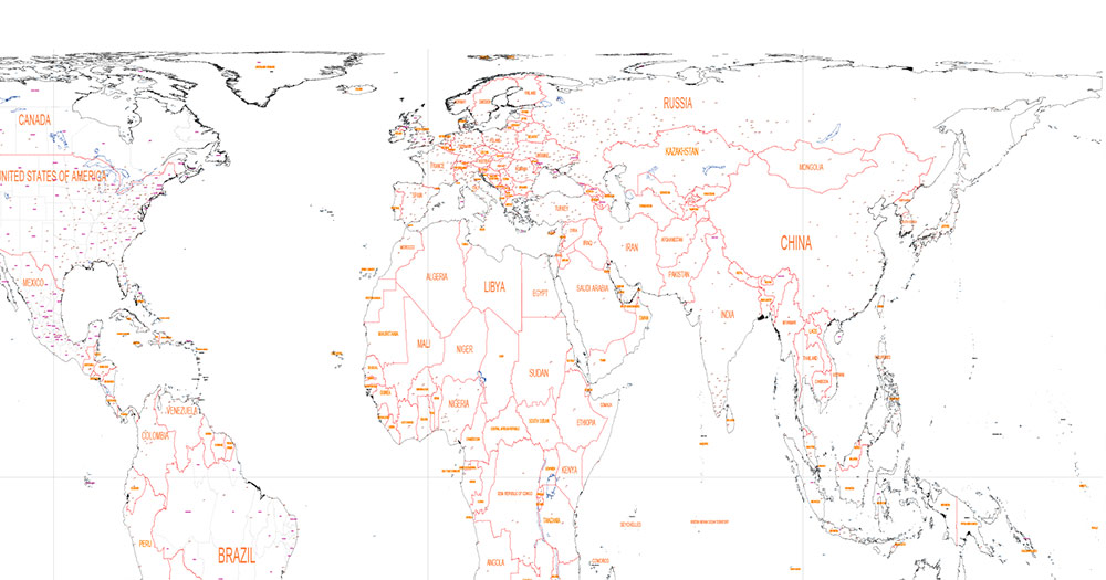
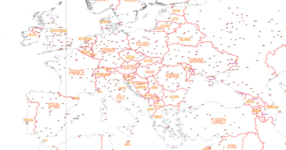
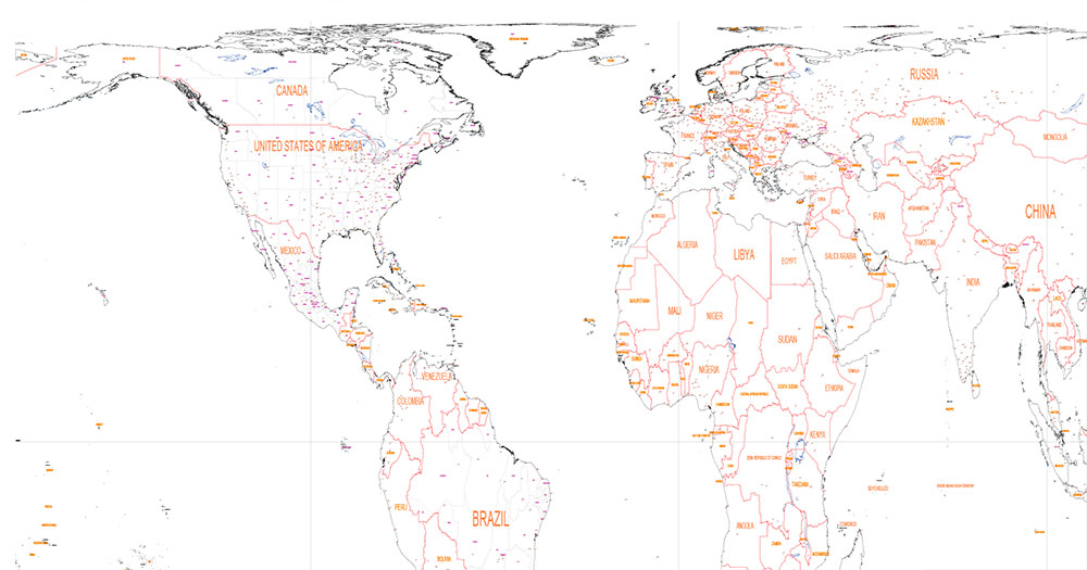
This world map is built in the Gall-Peters equal-area projection — a cartographic system that preserves the true proportional size of continents and countries. Unlike Mercator, which visually enlarges high-latitude regions, Gall-Peters maintains area accuracy, making it particularly suitable for educational, analytical, and conceptual installations.
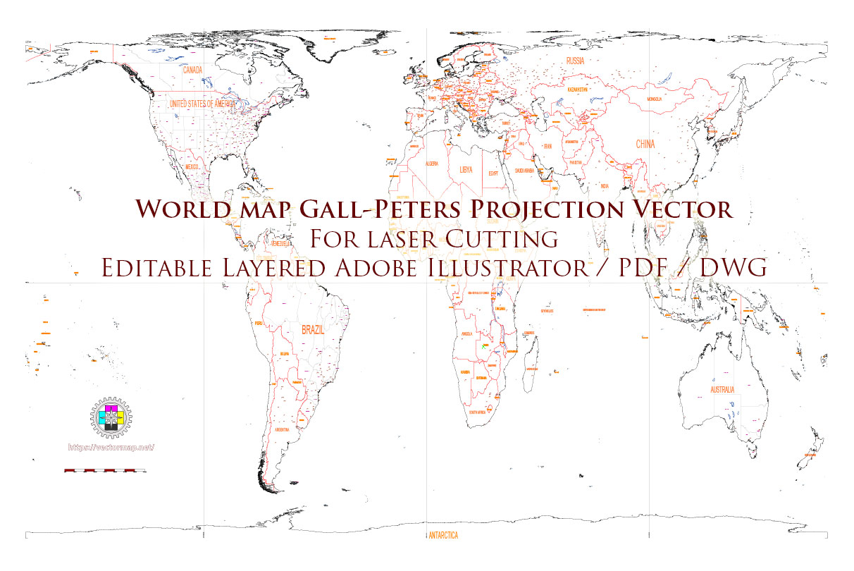
World Vector Map Gall-Peters Projection for Laser Cutting Ai PDF DWG DXF
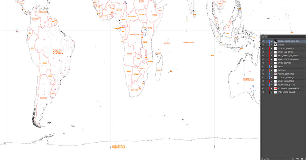
Layer list:
- Legend
- Grids
- Coastlines
- Country Boundaries
- States Boundaries
- Principal lakes (inland water)
- Capitals points
- Main Cities points
- Main Cities names with Halo
- Names Countries
- Names Islands
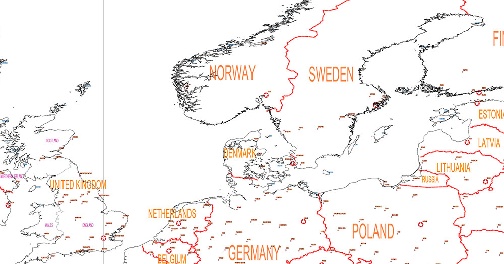
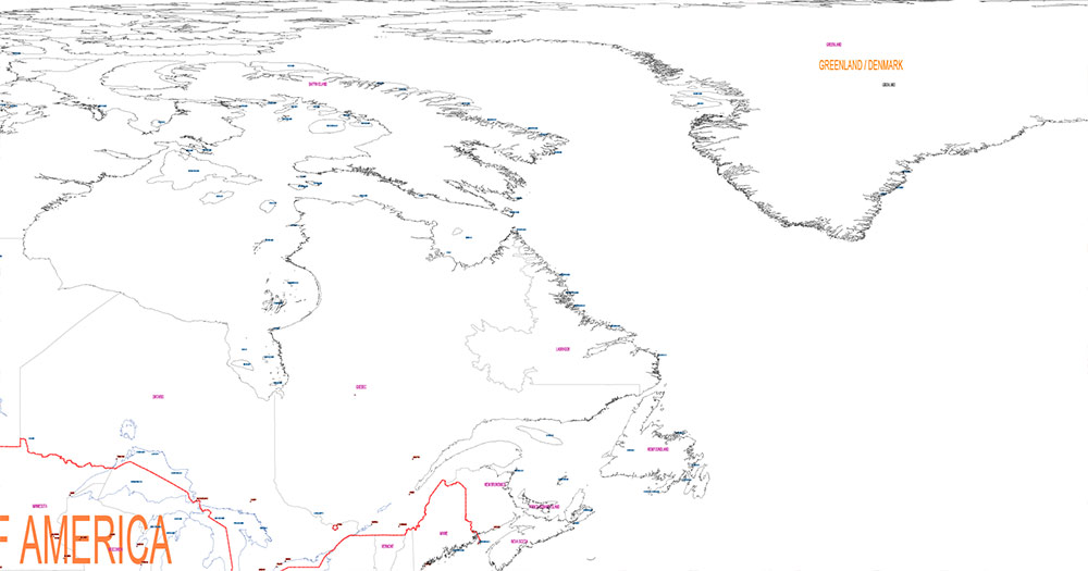
The map is engineered specifically for laser cutting and CNC production. All geometry has been prepared with manufacturing in mind: clean vector paths, optimized topology, and consistent structural integrity across coastlines and internal borders.
The composition includes:
-
International country boundaries
-
Complete global coastline system
-
Capital city markers
-
Major metropolitan points
-
Principal lakes
The visual balance of the Gall-Peters projection creates a distinctive vertical aesthetic, emphasizing equatorial regions while preserving proportional landmass relationships. This makes the map especially powerful for:
-
Modern interior wall installations
-
Museum and academic environments
-
Architectural décor
-
Educational spaces
-
Concept-driven spatial design
The file is structured for precision output, ensuring reliable cutting, engraving, or layered assembly in wood, metal, acrylic, or composite materials.
This is not a decorative illustration — it is a production-grade cartographic vector designed for fabrication accuracy and spatial clarity.
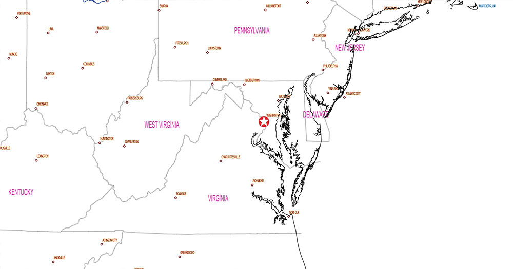
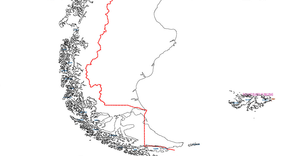
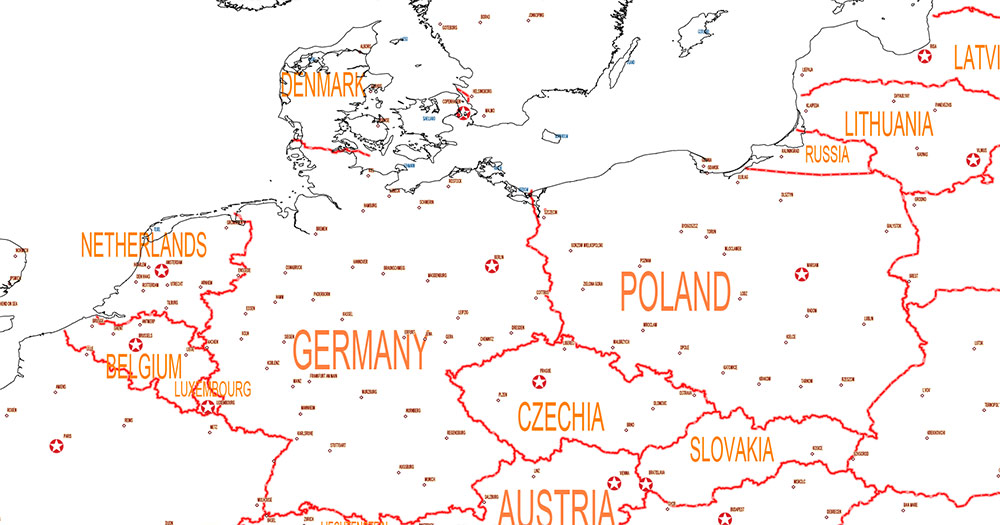
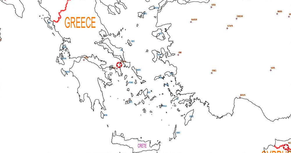
World Vector Map Gall-Peters Projection for Laser Cutting Ai PDF DWG DXF
World Vector Map Gall-Peters Projection for Laser Cutting Ai PDF DWG DXF
World Vector Map Gall-Peters Projection for Laser Cutting Ai PDF DWG DXF
World Vector Map Gall-Peters Projection for Laser Cutting Ai PDF DWG DXF
World Vector Map Gall-Peters Projection for Laser Cutting Ai PDF DWG DXF
World Vector Map Gall-Peters Projection for Laser Cutting Ai PDF DWG DXF
World Vector Map Gall-Peters Projection for Laser Cutting Ai PDF DWG DXF
World Vector Map Gall-Peters Projection for Laser Cutting Ai PDF DWG DXF
World Vector Map Gall-Peters Projection for Laser Cutting Ai PDF DWG DXF
World Vector Map Gall-Peters Projection for Laser Cutting Ai PDF DWG DXF


 Author: Kirill Shrayber, Ph.D. FRGS
