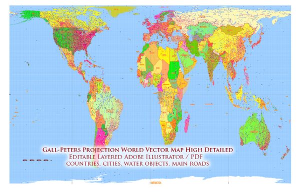
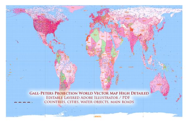
The Gall-Peters projection, also known as the Peters projection, has an interesting history that involves both the development of the projection itself and the controversy surrounding it. Here’s a brief overview:
- James Gall (1791-1854): The Gall-Peters projection was initially developed by a Scottish clergyman and mapmaker named James Gall in the 19th century. Gall’s goal was to create a map that accurately represented land area sizes, as he believed that many traditional map projections, such as the Mercator projection, distorted the relative sizes of continents.
- Arno Peters (1916-2002): The projection gained more widespread attention and controversy in the 20th century when Arno Peters, a German historian and filmmaker, popularized it. Peters argued that the Mercator projection, which had been the standard for world maps, was ethnocentric and distorted the sizes of continents, making European countries appear larger than they actually were. He believed that this distortion contributed to a Eurocentric worldview.
- Controversy: The promotion of the Peters projection by Arno Peters led to a significant amount of debate and controversy. While the Peters projection aimed to provide a more accurate representation of landmass sizes, it did so at the expense of shape and angles. This distortion meant that countries and continents often appeared stretched and distorted, which some found unappealing or less intuitive.
- Advocacy for Educational Use: Despite the controversy, the Peters projection found support among educators and social justice advocates. They argued that it was important to use a projection that represented a more equitable view of the world, emphasizing the size of African, Asian, and South American countries. The map was seen as a tool to challenge Eurocentric worldviews and foster discussions on global inequalities.
- Usage: The Peters projection has been used in various educational settings, particularly in classrooms and textbooks, to promote discussions on world geography, inequality, and cultural awareness. However, it has not replaced the widely used Mercator projection in most cartographic and navigational applications.
It’s important to note that the Gall-Peters projection is just one of many map projections, each with its own advantages and drawbacks. Map projections serve different purposes, and the choice of projection depends on the specific needs of a map or its intended use. The Peters projection remains a symbol of the ongoing debate about how to represent the Earth’s surface accurately and fairly on flat maps.


 Author: Kirill Shrayber, Ph.D.