Extended Description of the Vector Map
World PDF Vector Map Dymaxion Projection detailed Divided by layers by countries areas names: Adobe PDF 28 MB in the ZIP archive.
Fully editable, layered.
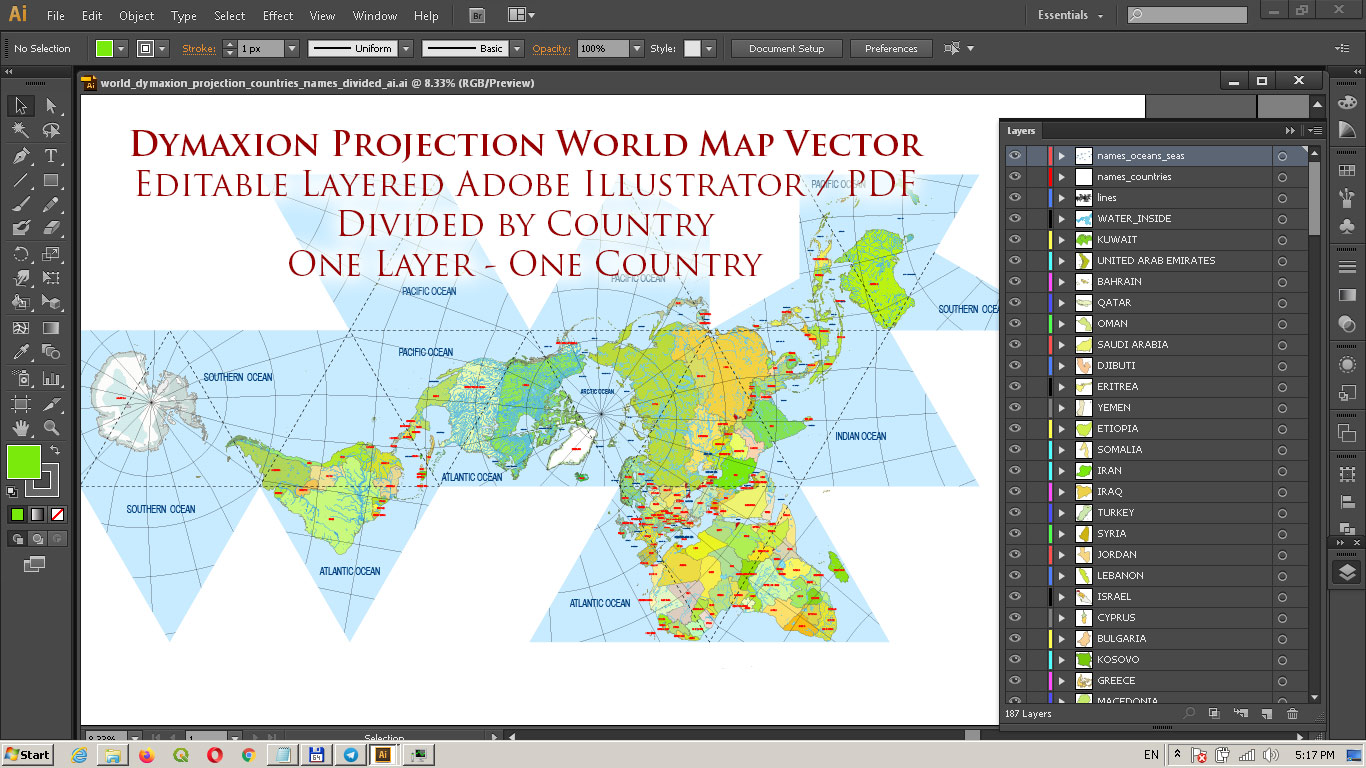
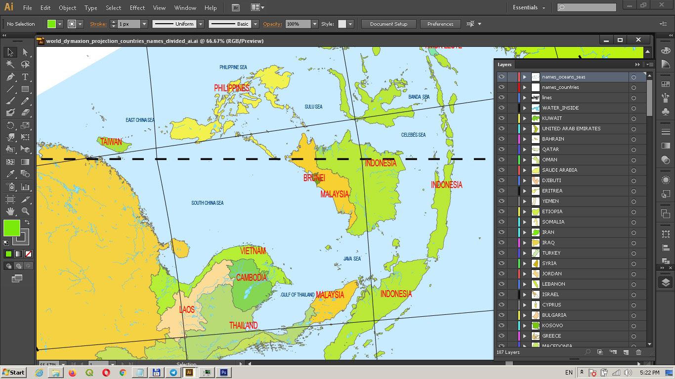
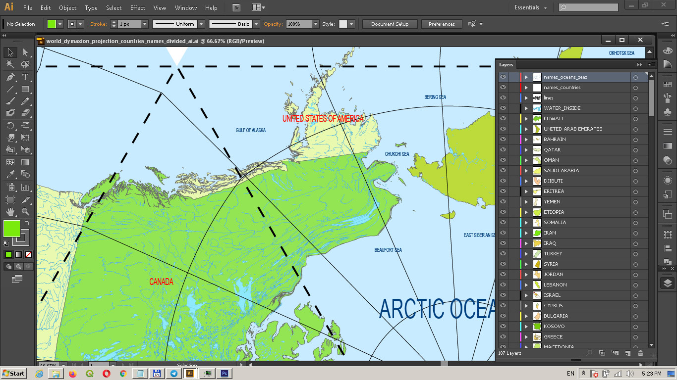
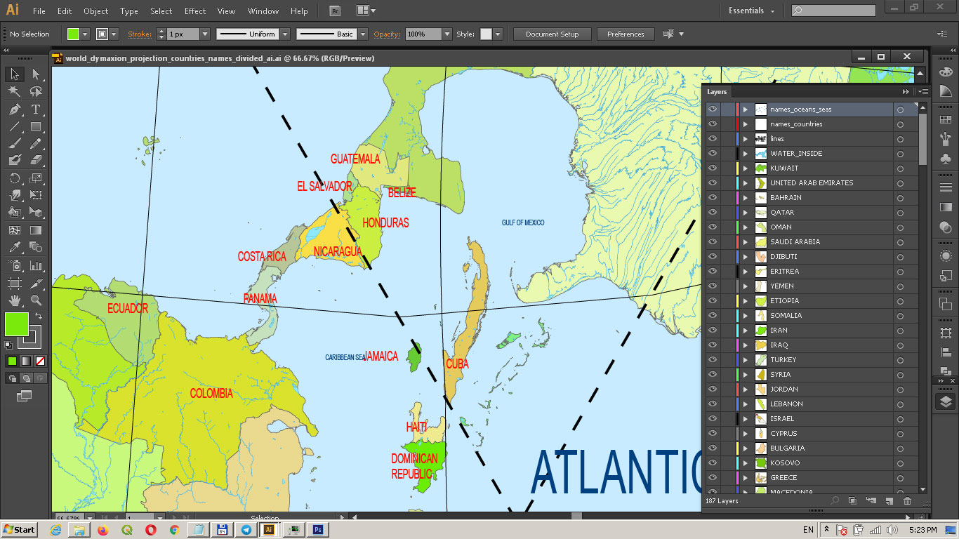
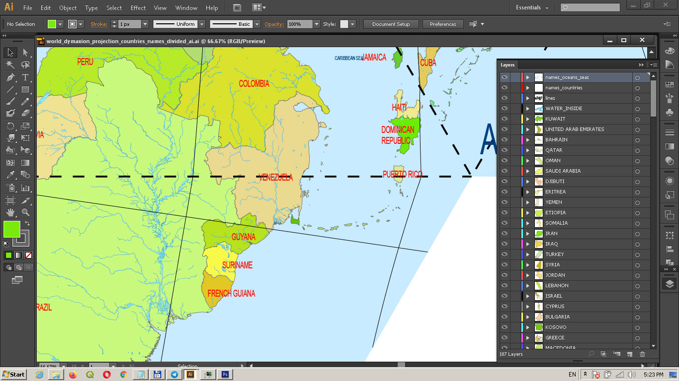
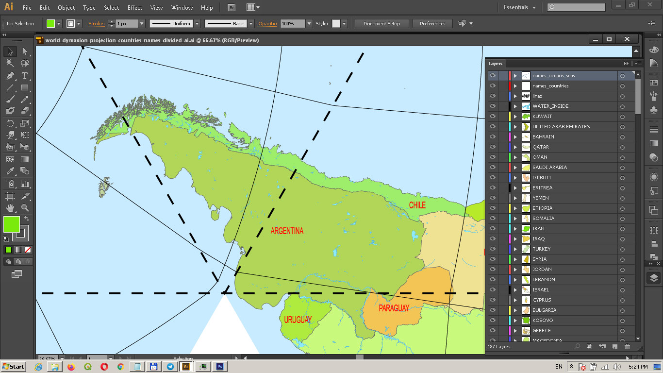
World PDF Vector Map: Dymaxion Projection Adobe PDF Detailed Divided by layers by Country names (areas)
Content of Map:
- Country areas layers (One layer = One country. Name Layer = Name Country)
- The water inside objects (rivers, lakes)
- Sea layer
- Dymaxion Projection lines layer
- Sea and Ocean names layer
- Countries names layer
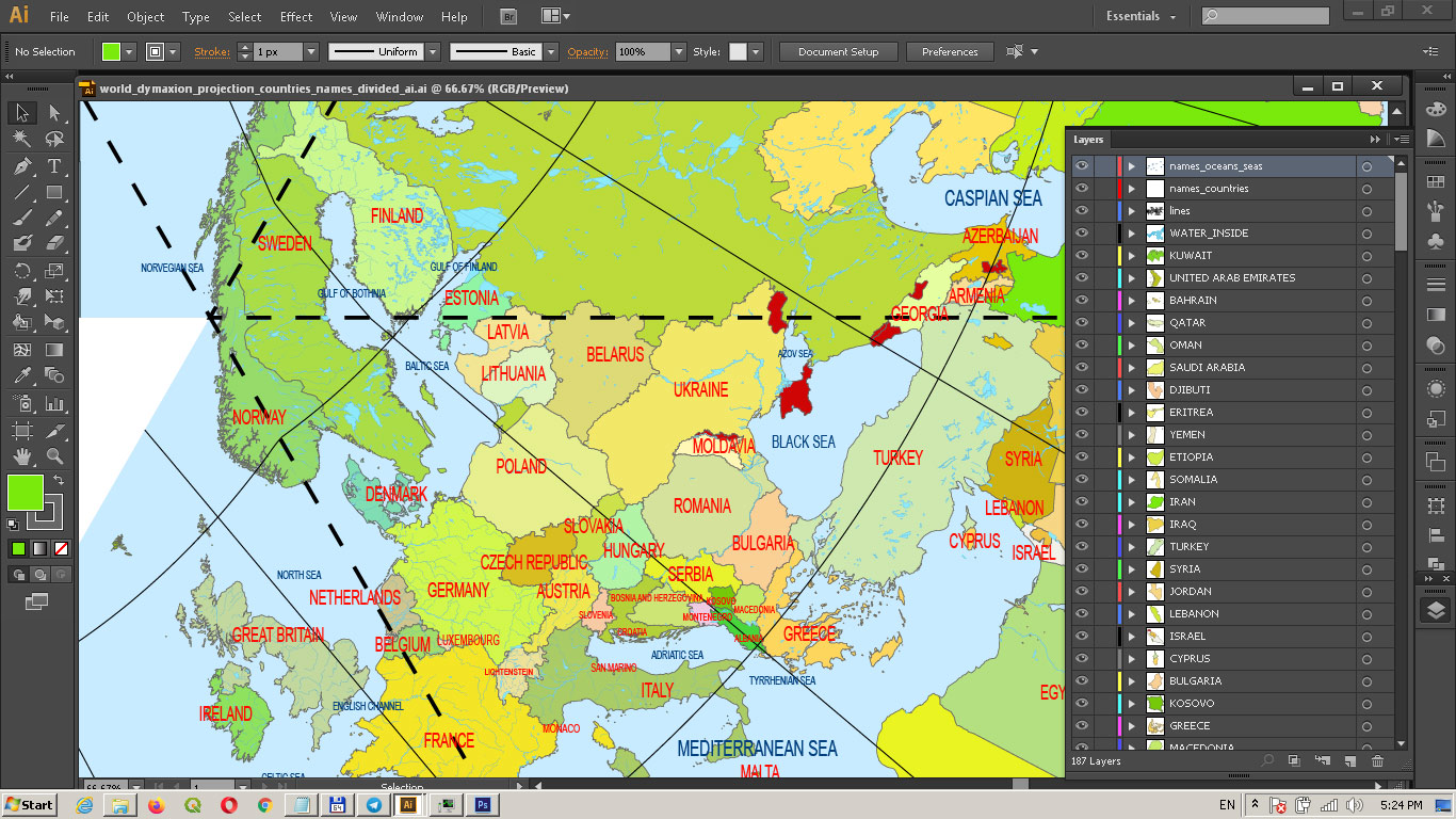
World PDF Vector Map: Dymaxion Projection Adobe PDF Detailed Divided by layers by Country names (areas)
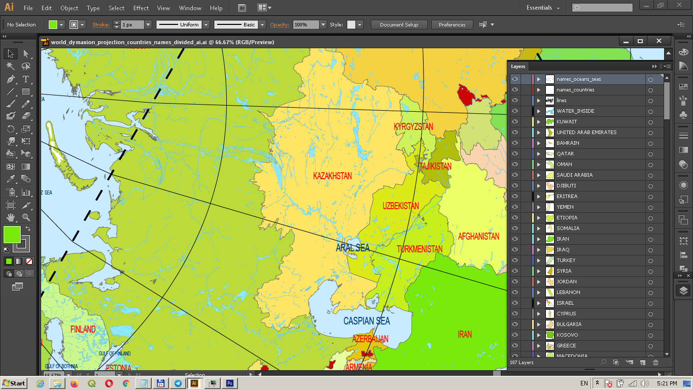
World PDF Vector Map: Dymaxion Projection Adobe PDF Detailed Divided by layers by Country names (areas)
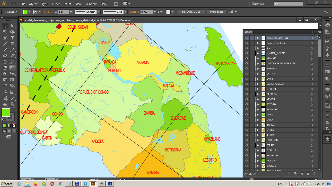
World PDF Vector Map: Dymaxion Projection Adobe PDF Detailed Divided by layers by Country names (areas)
World PDF Vector Map: Dymaxion Projection Adobe PDF Detailed Divided by layers by Country names (areas)
World PDF Vector Map: Dymaxion Projection Adobe PDF Detailed Divided by layers by Country names (areas)
World PDF Vector Map: Dymaxion Projection Adobe PDF Detailed Divided by layers by Country names (areas)
World PDF Vector Map: Dymaxion Projection Adobe PDF Detailed Divided by layers by Country names (areas)
World PDF Vector Map: Dymaxion Projection Adobe PDF Detailed Divided by layers by Country names (areas)

 Author: Kirill Shrayber, Ph.D. FRGS
