Taxonomy: Product Tags for this Vector Map
Extended Description of the Vector Map
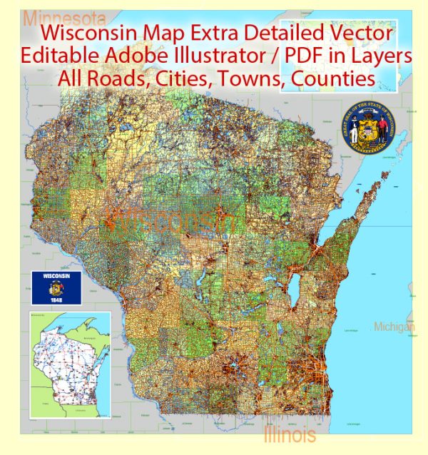
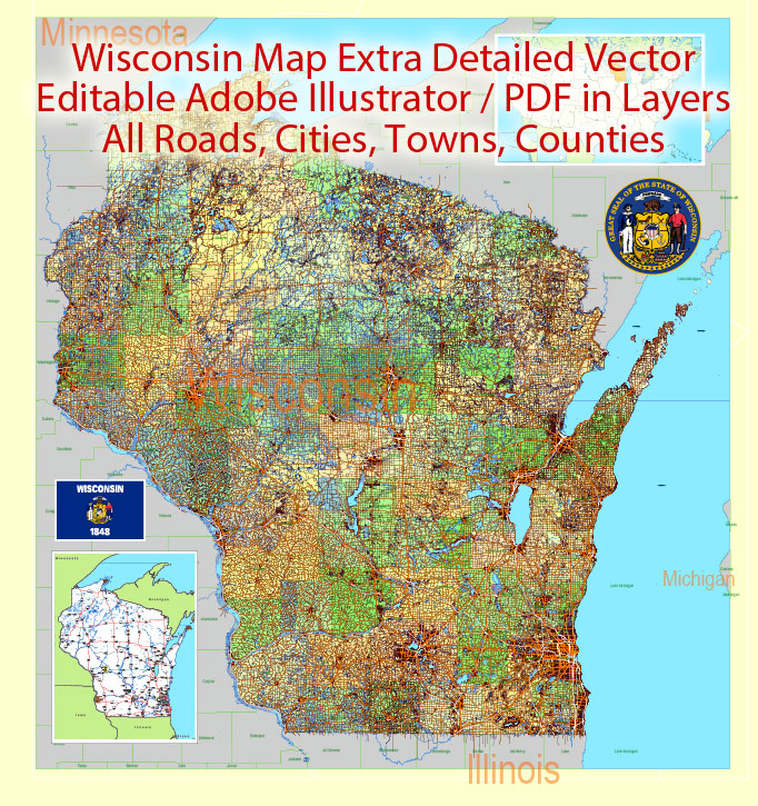
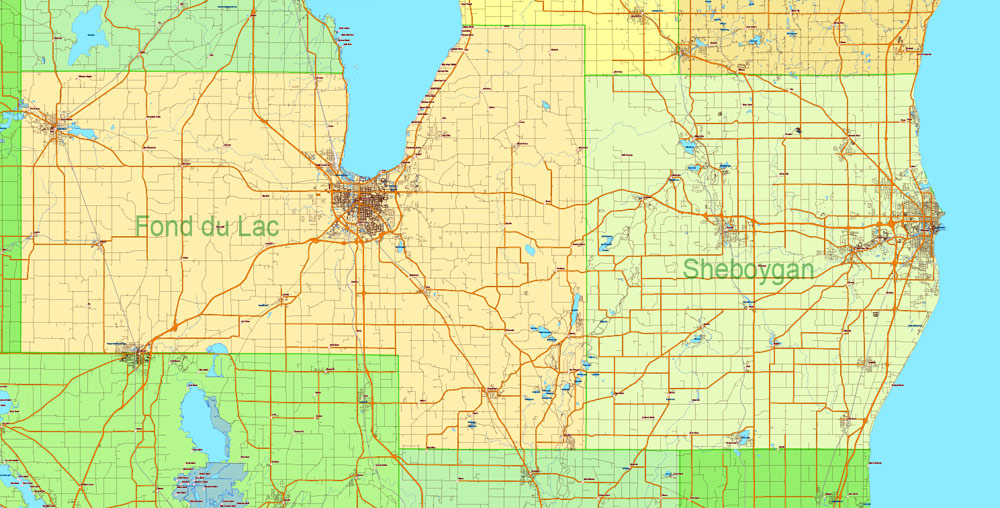
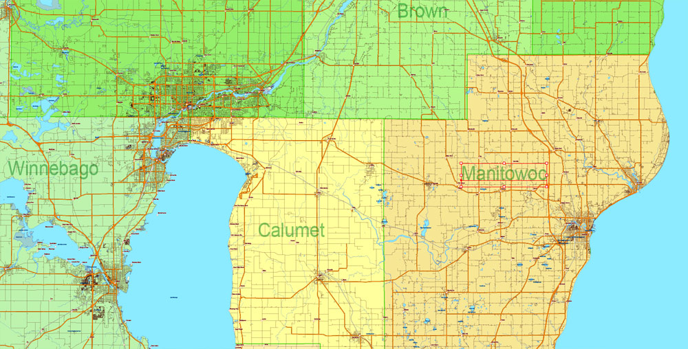
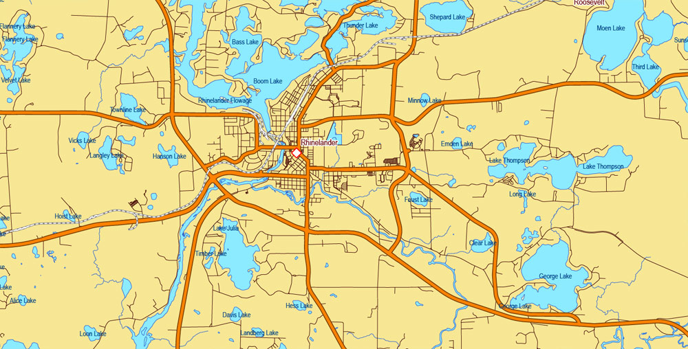
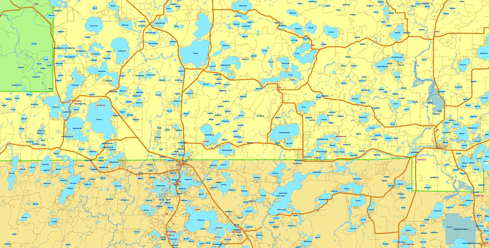
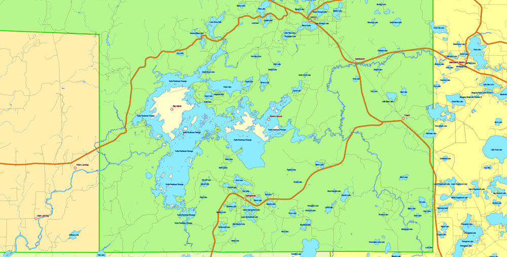
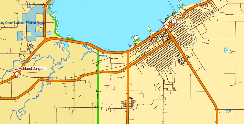
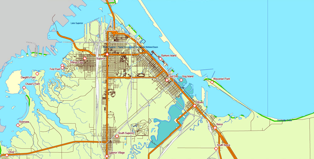
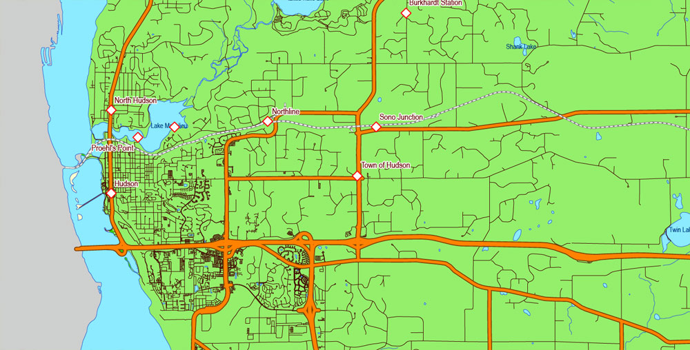
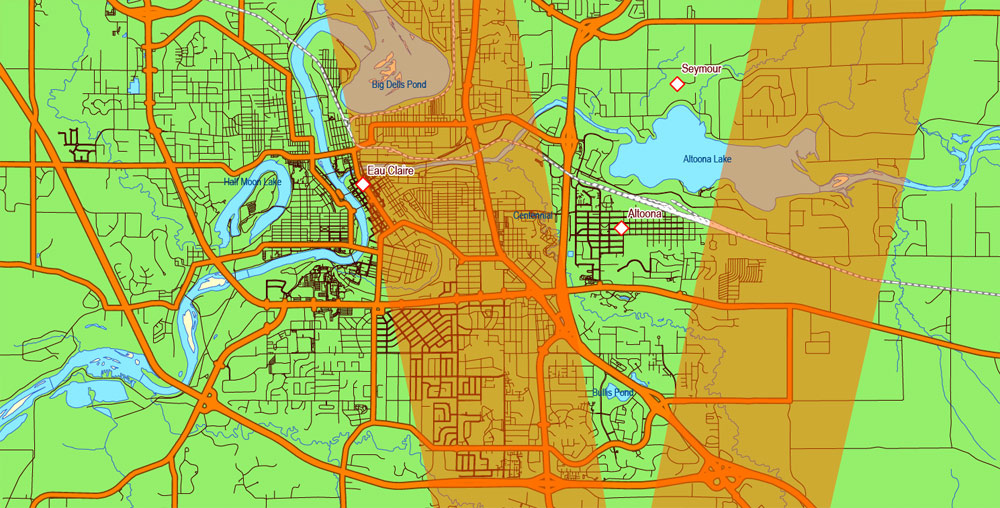
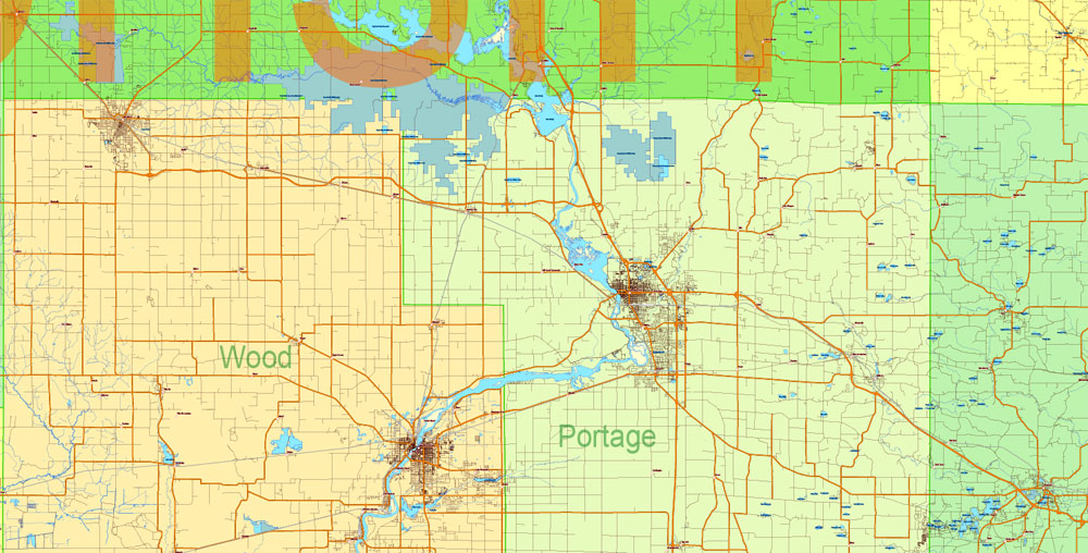
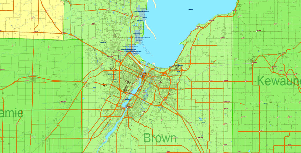
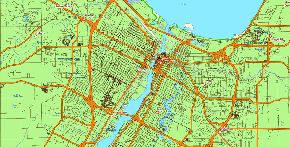
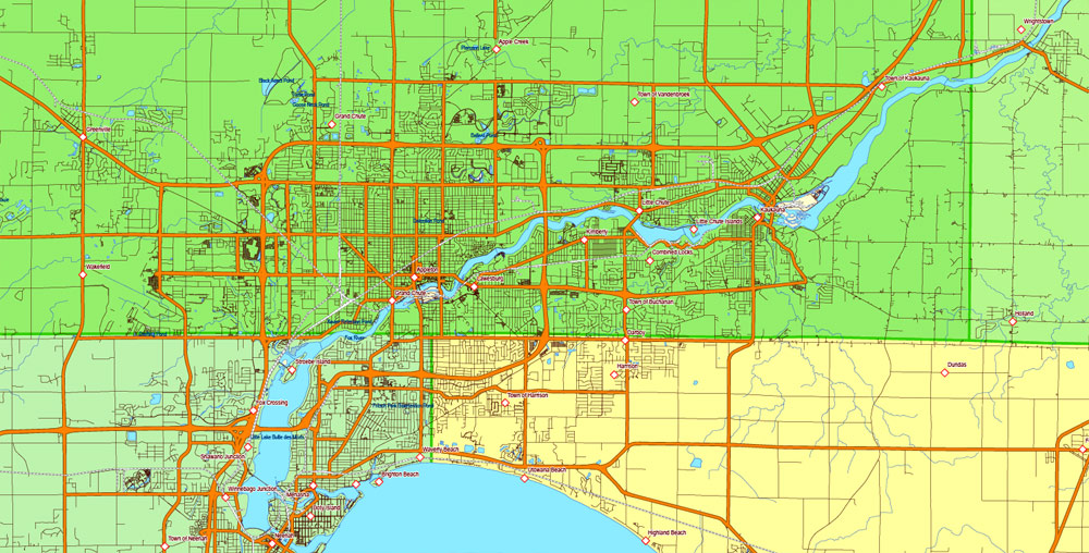
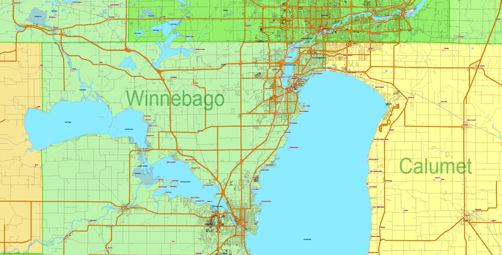
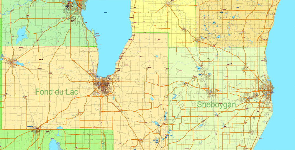
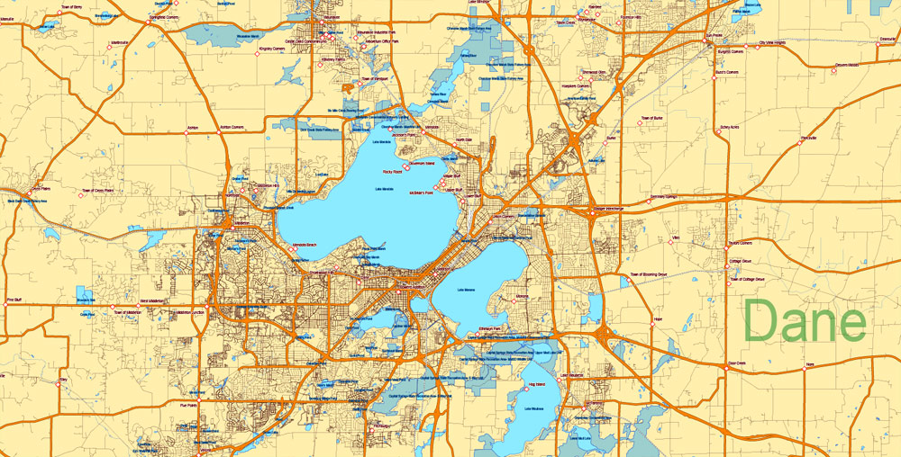
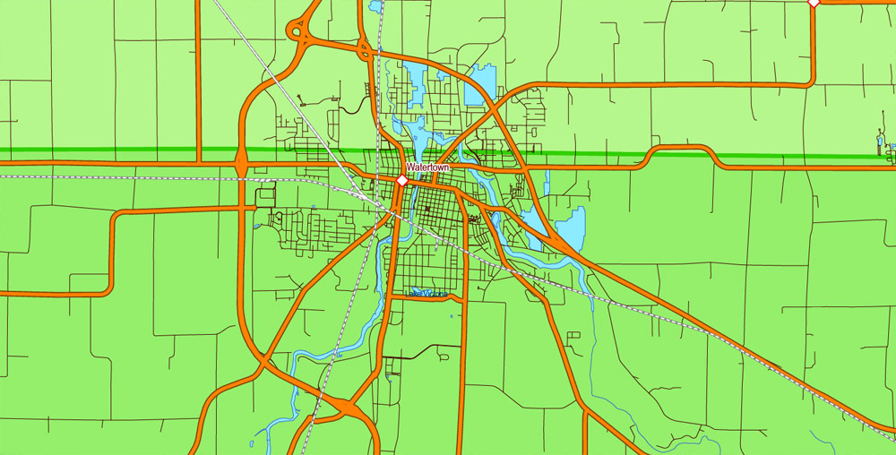
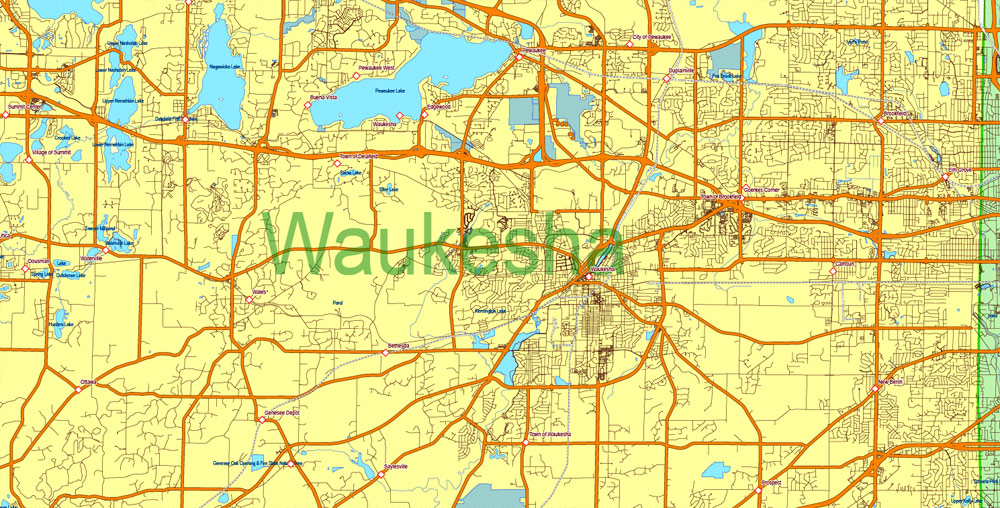
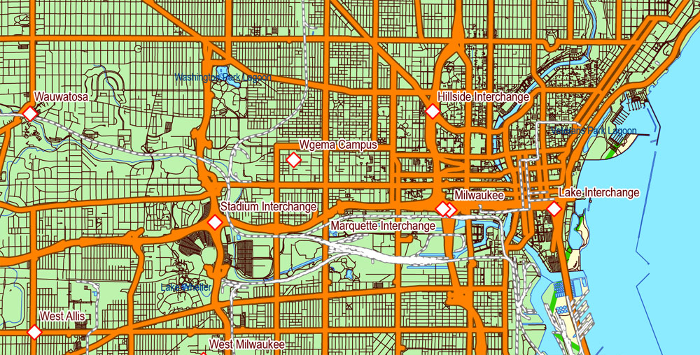
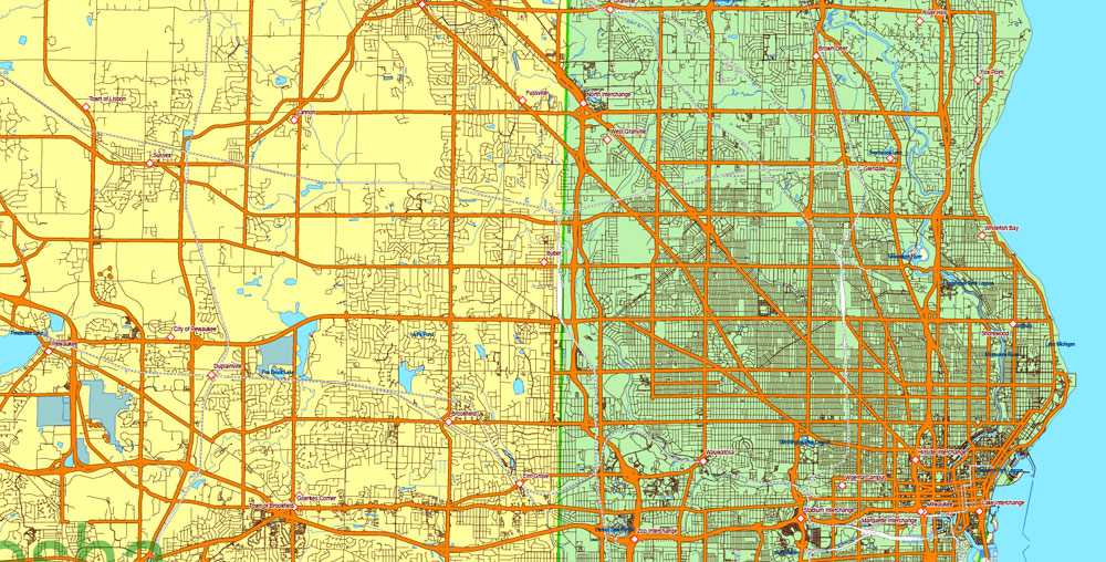
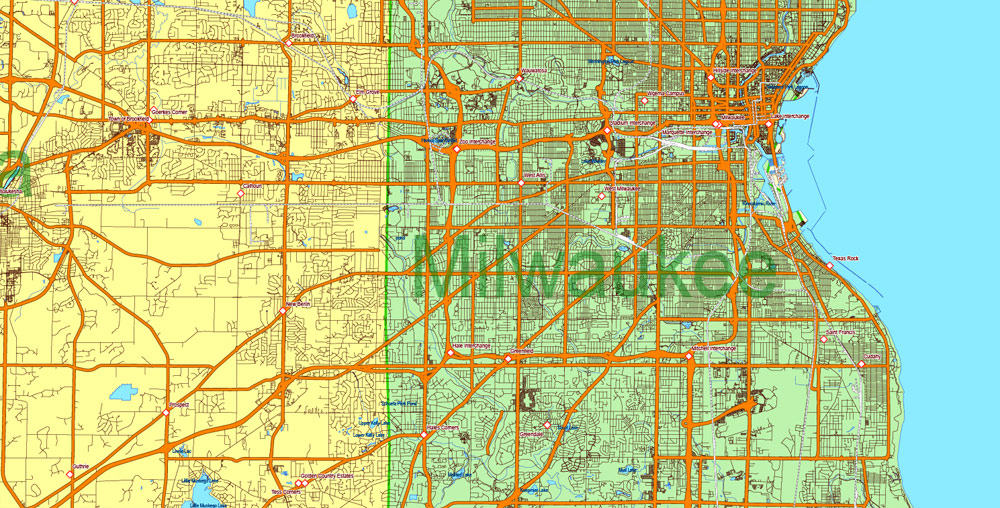
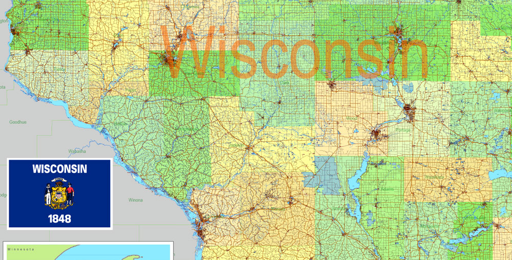
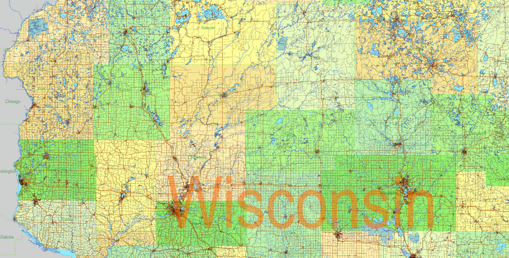
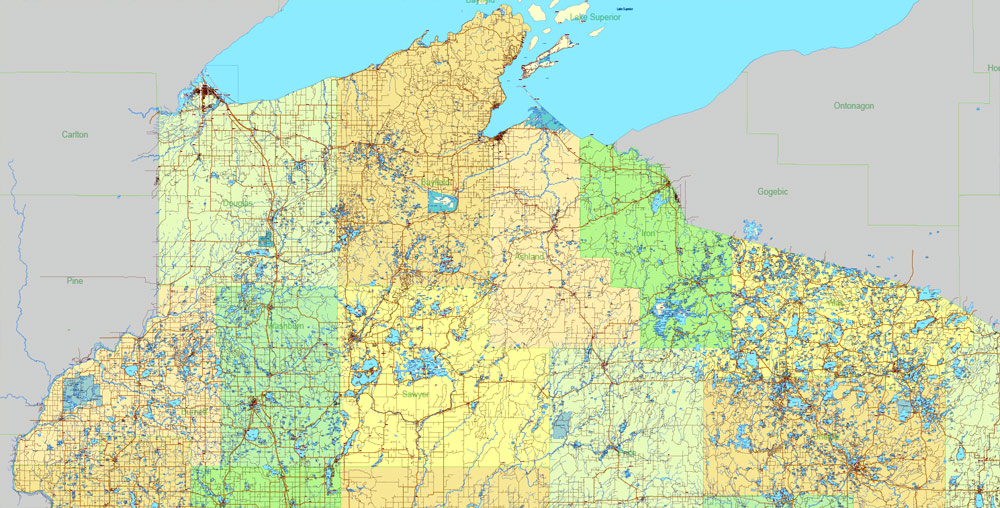
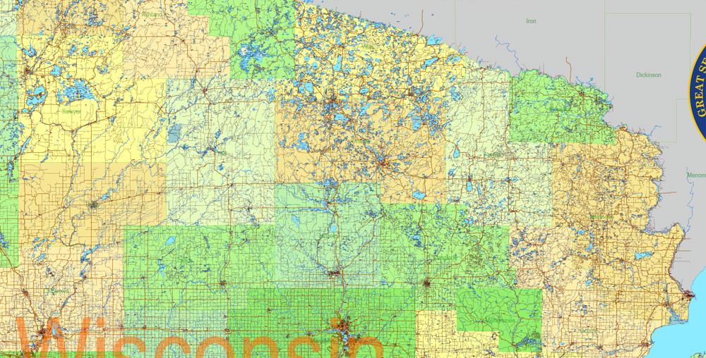
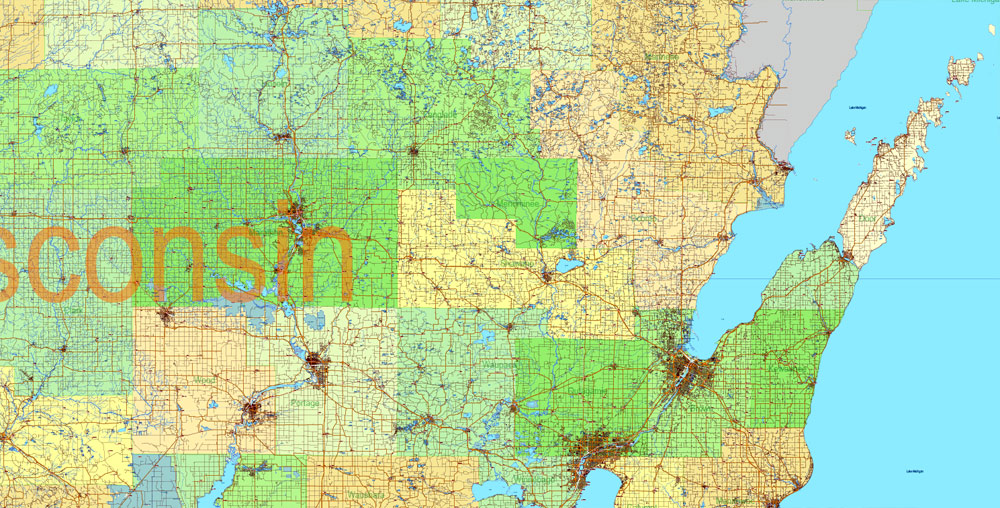
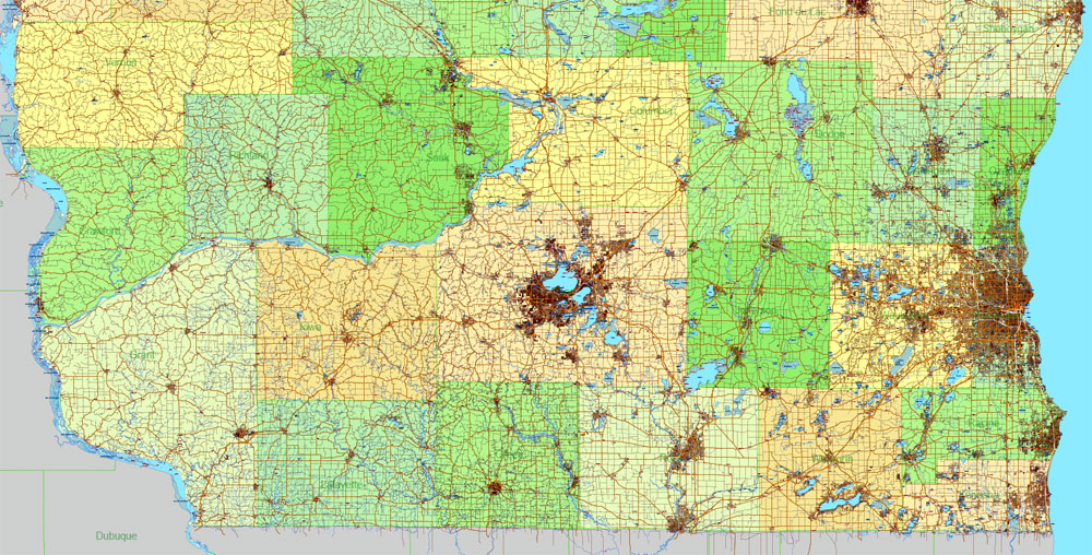
Printable Vector Map Wisconsin State US, exact extra detailed All Roads, Cities and Counties map editable Layered Adobe Illustrator scalable, editable text format allnames, 100 mb ZIP
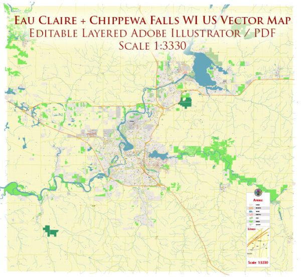
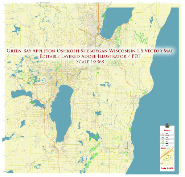
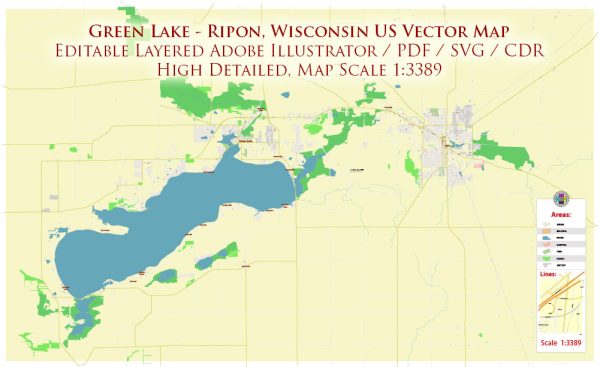
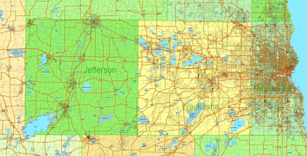
All roads, Cities and towns, Counties, Water objects and Railroads Map for design, printing, arts, projects, presentations, for architects, designers and builders, business, logistics.
Layers: color fills, streets_roads, water, names_objects, Counties, names_places, legend etc.
The most exact and detailed map of the Wisconsin State.
Map for editing and High Quality Printing
DWG, DXF and other formats – on request, same price, please, contact
Wisconsin
US State
Wisconsin is a midwestern U.S. state with coastlines on 2 Great Lakes (Michigan and Superior) and an interior of forests and farms. Milwaukee, the largest city, is known for the Milwaukee Public Museum, with its numerous re-created international villages, and the Harley-Davidson Museum, displaying classic motorcycles. Several beer companies are based in Milwaukee, and many offer brewery tours.
Area Ranked 23rd
• Total 65,498.37 sq mi (169,640 km2)
• Width 260 miles (420 km)
• Length 311 miles (500 km)
• % water 17%
• Latitude 42° 30′ N to 47° 05′ N
• Longitude 86° 46′ W to 92° 54′ W
Population Ranked 20th
• Total 5,795,483
• Density 105/sq mi (40.6/km2) Ranked 23rd
• Median household income $55,425 (28th)
Elevation
• Highest point Timms Hill 1,951 ft (595 m)
• Mean 1,050 ft (320 m)
• Lowest point Lake Michigan 579 ft (176 m)
Free US vector maps
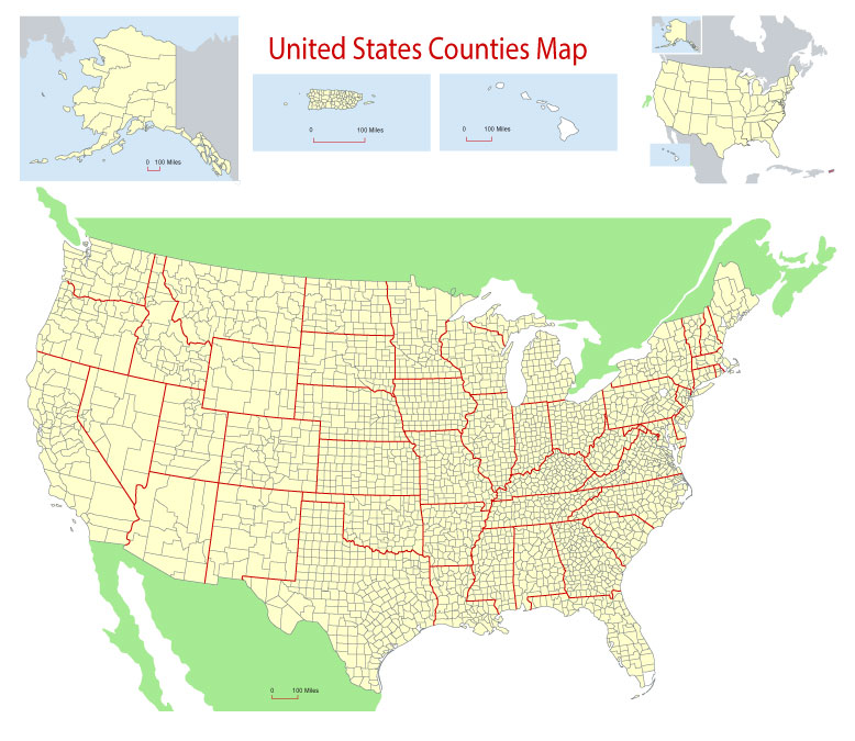
Free Download Vector Map US County and State Adobe Illustrator
Free_Vector_Map_US_States_County_Map.ai
Free Download Vector Map US County and State Adobe PDF
Free_Vector_Map_US_States_County_Map.pdf
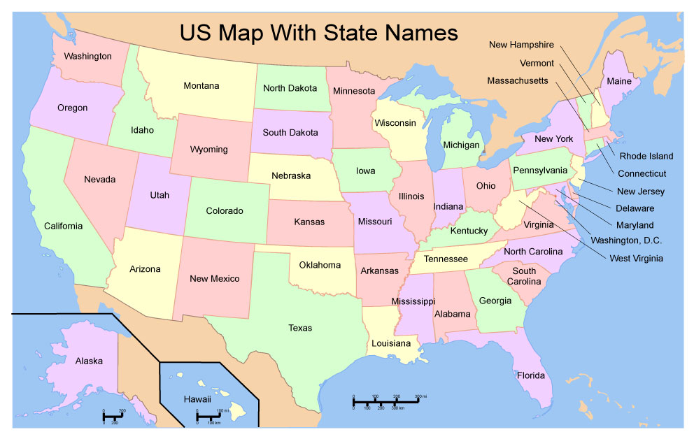
Free Download Vector Map US With States Names, Adobe Illustrator
Free_Map_of_USA_with_state_names_en.ai
Free Download Vector Map US With States Names, Adobe PDF
Free_Map_of_USA_with_state_names_en.pdf
From WIKI
Free vector map World, Adobe Illustrator, download now maps vector clipart
Map for design, projects, presentation free to use as you like.
See also: TERMS & CONDITIONS: SOFTWARE LICENSE AGREEMENT FOR DIGITAL CARTOGRAPHIC DATA.
Need more USA Vector Maps, printable and editable?
 If you have any questions, please, feel free to contact us via WhatsApp +1.829.4100078




 We accept PayPal and all Debit or Credit Cards | Instantly Download Your Map after payment.

 Author: Kirill Shrayber, Ph.D.