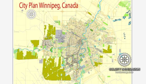
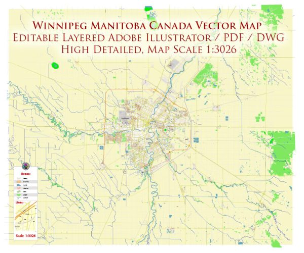
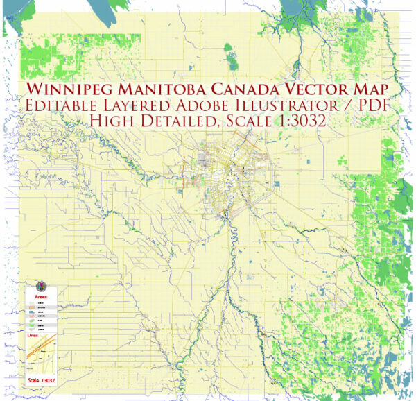
Extended Description of the Vector Map
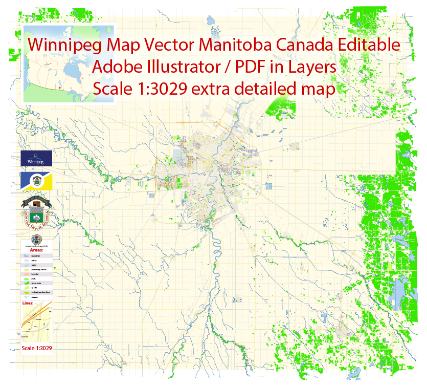
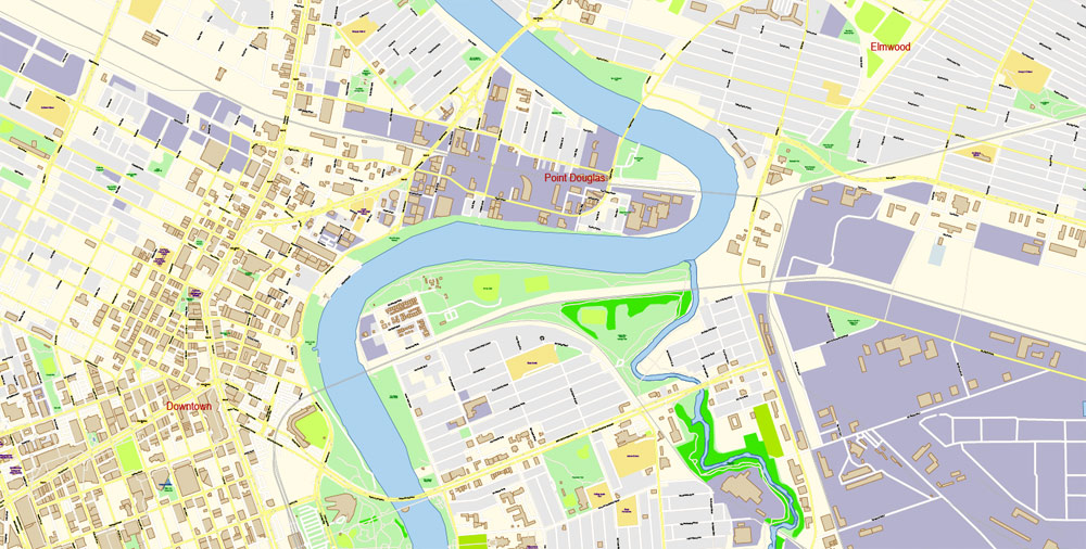
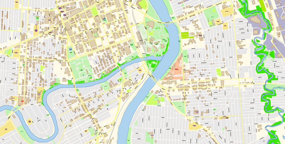
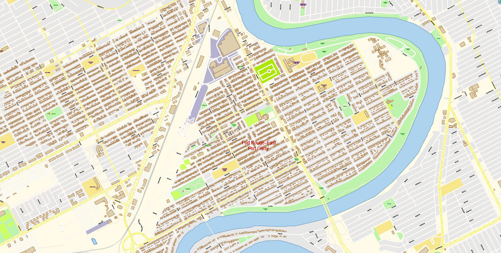
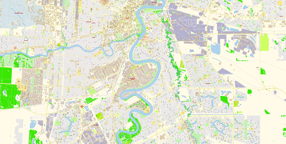
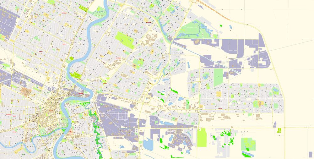
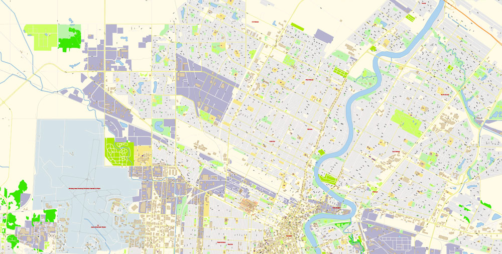
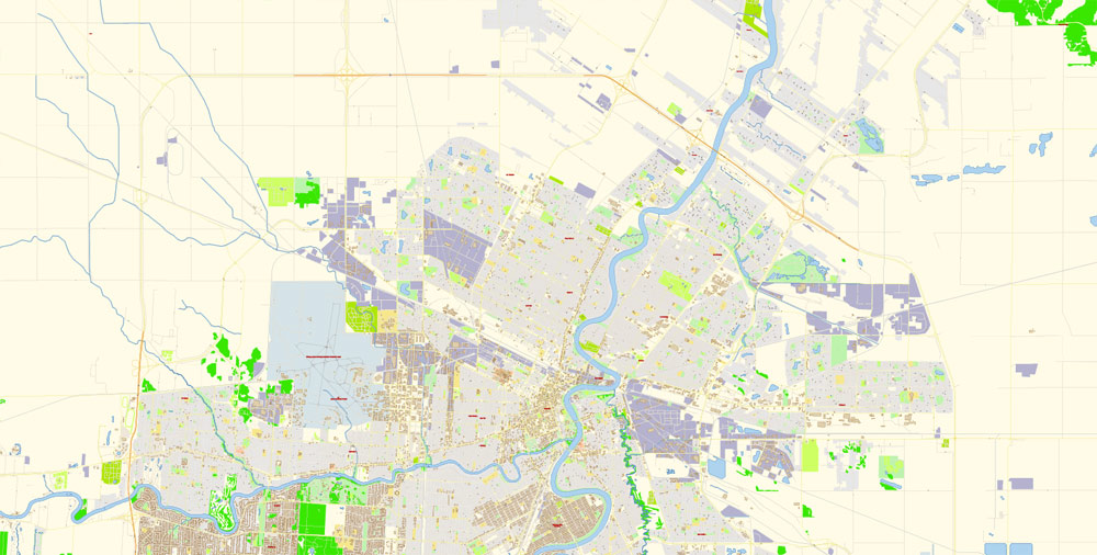
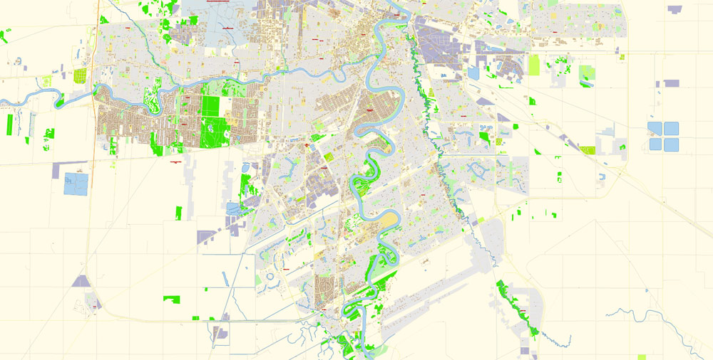
Printable PDF Vector Map Winnipeg Canada scale 1:3029 Extra Detailed Street Road Map editable Adobe PDF in layers, scalable, editable text format all names, 64 mb ZIP
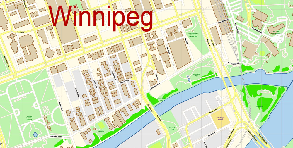
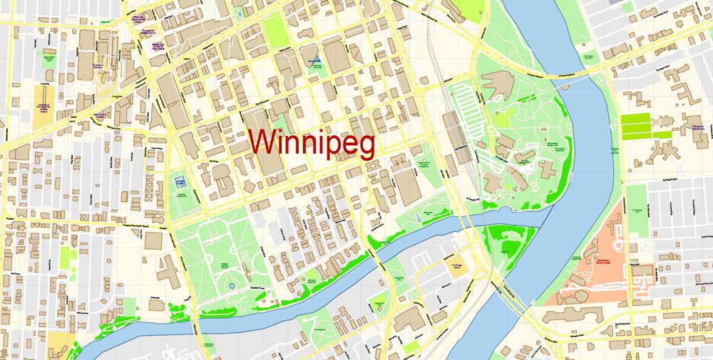
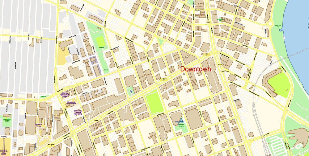
All street names, main objects, buildings. Map for publishing, design, printing, publications, arts, media, projects, presentations, for architects, designers and builders, business, logistics. The most exact and detailed map of the city.
Layers: color_fills, streets_roads, labels_roads, names_places, halo_names_places, halo_names_streets, waterways, buildings, names_objects, grids, legend, etc.
For Editing and High Quality Printing
DWG, DXF, CDR and other formats – on request, same price, please, contact
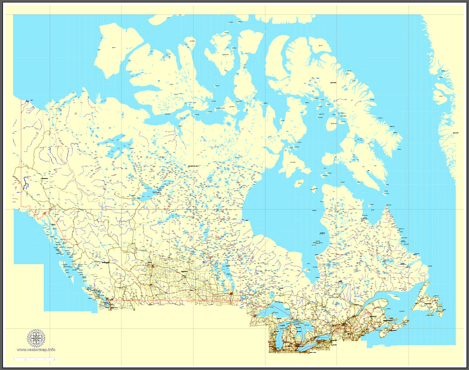
Download Free vector Map Canada, mainroads, cities, borders, province borders, Adobe Illustrator Text format street names, full editable, Layers: grownd, nombres, borders, symbols, halo
vector_map_canada_mainroads_mercator_projection_ai-ai
Download Free PDF Map Canada, mainroads, cities, borders, province borders, Adobe PDF Text format street names, full editable, Layers: grownd, nombres, borders, symbols, halo
vector_map_canada_mainroads_mercator_projection_pdf-pdf
Free vector map World, Adobe Illustrator, download now maps vector clipart
Map for design, projects, presentation free to use as you like.
See also: TERMS & CONDITIONS: SOFTWARE LICENSE AGREEMENT FOR DIGITAL CARTOGRAPHIC DATA.
Need more USA Vector Maps, printable and editable?
Author Rating
Aggregate Rating
no rating based on 0 votes
@vectormapper
Product Name Winnipeg PDF Map Vector Canada Exact City Plan detailed Road Map Adobe PDF in layers
Price
USD 63
Product Availability
Available in Stock



 Author: Kirill Shrayber, Ph.D. FRGS