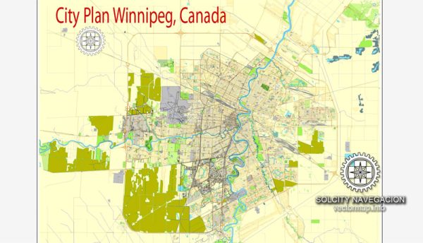
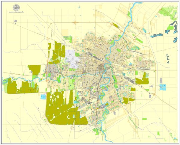
Winnipeg is the capital city of the province of Manitoba in Canada, and it is the largest city in the province. The city has a rich history and has seen significant urban development over the years. Here’s a description of Winnipeg’s urban development:
- Historical Context: Winnipeg’s development can be traced back to its location at the confluence of the Red and Assiniboine Rivers, making it an important trading and transportation hub. The city’s growth was closely tied to the fur trade, and it played a key role in the westward expansion of Canada.
- 19th Century Growth: Winnipeg saw substantial growth during the late 19th century, particularly with the arrival of the Canadian Pacific Railway in 1881. This led to the city being dubbed the “Gateway to the West” as it became a central point for the movement of goods and people.
- Downtown Development: The downtown area of Winnipeg features a mix of historic and modern architecture. The Exchange District, with its well-preserved early 20th-century buildings, is a designated National Historic Site and a hub for cultural and artistic activities. The area around Portage and Main has seen significant high-rise development.
- Residential Neighborhoods: Winnipeg’s residential neighborhoods vary in character, from historic neighborhoods like Wolseley and Crescentwood, known for their tree-lined streets and character homes, to newer suburban developments in areas like Sage Creek and Bridgwater Forest.
- Transit and Infrastructure: Winnipeg has invested in public transit and infrastructure development, including the expansion of the Winnipeg Transit bus rapid transit system and the construction of new bridges and roadways to accommodate the city’s growth.
- Cultural and Recreational Spaces: The city boasts numerous parks, recreational facilities, and cultural attractions. The Forks, a historic meeting place at the confluence of the two rivers, has been transformed into a popular destination with shops, restaurants, and event spaces. The Canadian Museum for Human Rights is another notable addition to the city’s cultural landscape.
- Economic Development: Winnipeg is a center for trade, manufacturing, and finance. It has a diverse economy, with key industries including aerospace, agribusiness, advanced manufacturing, and technology. The city is home to several post-secondary institutions, including the University of Manitoba and the University of Winnipeg, contributing to education and research.
- Sustainability Initiatives: Like many cities, Winnipeg has been working to enhance its sustainability. Initiatives include investing in public transportation, expanding cycling infrastructure, and developing green spaces.
- Challenges: Winnipeg, like many urban areas, faces challenges related to urban sprawl, traffic congestion, and affordable housing. The city has been addressing these issues through various urban planning strategies and policies.
Overall, Winnipeg’s urban development has transformed it into a modern, culturally rich city with a mix of historic and contemporary elements, offering a high quality of life for its residents and attracting visitors from around the world.

 Author: Kirill Shrayber, Ph.D.