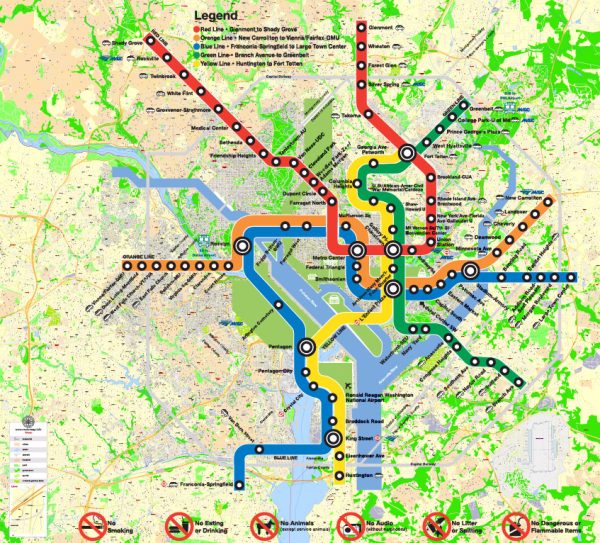
Washington, D.C. and Arlington, Virginia, are both located in the Washington Metropolitan Area and are situated along the Potomac River. This region has several water resources and bridges that are crucial for transportation and the water supply. Here are some of the notable water resources and bridges in this area:
Water Resources:
- Potomac River: The Potomac River flows through both Washington, D.C. and Arlington, Virginia. It is a major source of freshwater for the region and plays a vital role in providing drinking water and supporting various recreational activities.
- Chesapeake and Ohio Canal: The C&O Canal runs parallel to the Potomac River and is a historic waterway that was used for transportation in the 19th century. It now serves as a popular recreational area for hiking and biking.
- Arlington Reservoir: Arlington has a reservoir system that stores potable water for the county. This reservoir ensures a reliable supply of drinking water for the residents.
Bridges:
- Arlington Memorial Bridge: This iconic bridge connects Arlington, Virginia, with the National Mall in Washington, D.C. It spans the Potomac River and is known for its neoclassical design and its connection to many national memorials and monuments.
- Key Bridge: The Francis Scott Key Bridge, commonly known as the Key Bridge, connects the Georgetown neighborhood of Washington, D.C. to Rosslyn in Arlington, Virginia. It is a vital transportation link and provides scenic views of the Potomac River.
- Theodore Roosevelt Bridge: This bridge also spans the Potomac River, connecting Washington, D.C. with Arlington. It is a significant route for commuters and offers impressive views of the city’s skyline.
- Woodrow Wilson Bridge: This bridge carries Interstate 95 and Interstate 495 traffic across the Potomac River, linking Alexandria, Virginia, with Maryland and Washington, D.C. It is one of the busiest bridges in the region.
- Chain Bridge: Located to the northwest of Washington, D.C., this historic bridge spans the Potomac River and connects Arlington, Virginia, with Bethesda, Maryland. It’s known for its charming design and proximity to the Chain Bridge Road Scenic Byway.
These water resources and bridges are essential for the transportation and infrastructure of the Washington, D.C. metropolitan area, facilitating the movement of people and goods while also providing access to the region’s natural waterways.


 Author: Kirill Shrayber, Ph.D.