City of Warsaw
Warsaw is the capital of Poland and the largest city in the country with a complicated history and destiny. It is an interesting combination of antiquity and tradition, the modern rhythm of life, and the energy of a large metropolis. Warsaw is located in the central part of Poland and has a dramatic history. Since the 16th century, when the city was chosen as the capital of the Polish state, it has been destroyed several times in the crucible of numerous wars. The last of them, the Second World War, completely destroyed its heart-the Old City. But Warsaw, like a phoenix, was reborn from the ashes, even if it lost, despite all the efforts, part of its original historical appearance.
Warsaw is the most dynamic city in Poland, famous for its museums, palaces, and rich cultural life. The historic buildings here blend harmoniously with modern architecture, and skyscrapers tower above the tiled roofs of the restored Old Town. Warsaw connects the past and present of Poland, being a real symbol of the modern Polish state. And even if the beauty of the old streets and attractions of the capital of Poland is inferior to Krakow and Wroclaw, this city has many interesting and fascinating places.
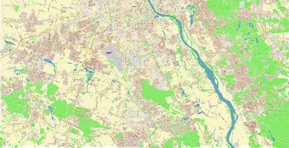
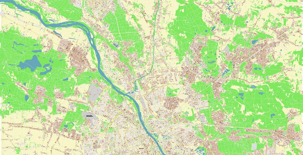
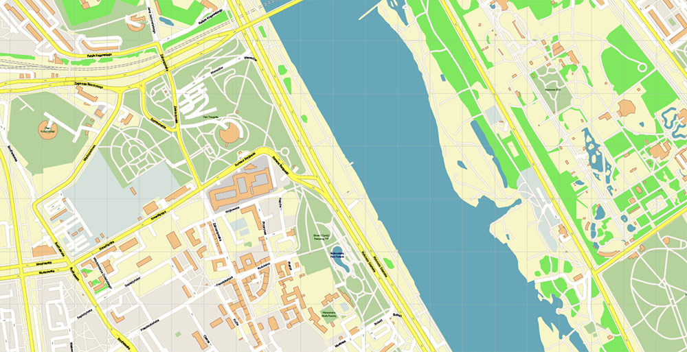
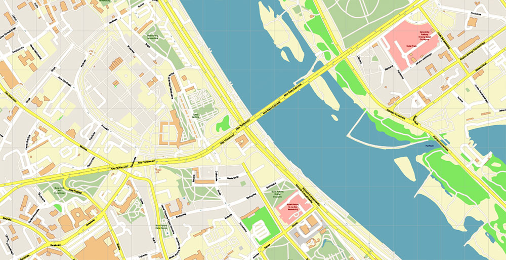
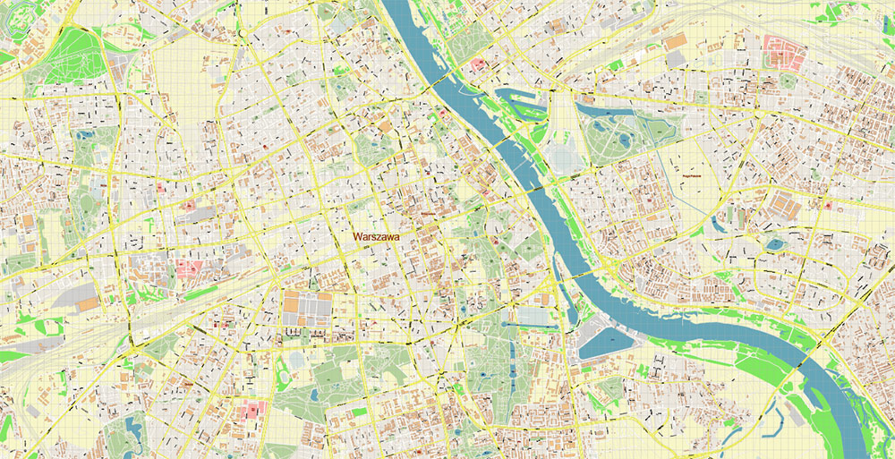
Warsaw is located in the central part of Eastern Poland on the Vistula River at an equal distance from the Baltic Sea in the north and the Carpathian Mountains in the south. The Vistula divides the capital of Poland into two parts. Interestingly, the right bank of Warsaw was inhabited earlier, around the 9th-10th century, while the modern historical center is located on the left bank.
Warsaw has a temperate continental climate, which is characterized by relatively cool winters and warm summers. The best time to visit the capital of Poland is from May to September. The coldest months are January and February. It can be quite rainy in late autumn and early spring.
Warsaw became the capital of Poland in 1596 when King Sigismund III moved his residence here from Krakow. The first mention of the city dates back to the 14th century. Although the first settlements appeared on the right bank of the Vistula already in the 9th century.
From the 16th century and for the next two centuries, Warsaw was the center of the Polish kingdom and the residence of the Polish kings. After the Russian Empire conquered Eastern Poland, from 1815 to 1915, Warsaw was the capital of the Kingdom of Poland.
In the 20th century, Warsaw, like all of Poland, experienced its most difficult times. The Second World War left a terrible scar on the” face ” of the city. The historical center of the Polish capital was almost completely destroyed. According to scientists, about 85 % of the city was destroyed. After the Second World War, Warsaw was rebuilt for decades. Architectural monuments tried to restore in their original form according to old chronicles and drawings, but under the restored facades, unfortunately, modern materials and foundations are hidden.
The population is 1.8 million people.
The area is 517 km2.
The language is Polish.
The currency is the Polish zloty.
The visa is a Schengen one.
The time is UTC+1.
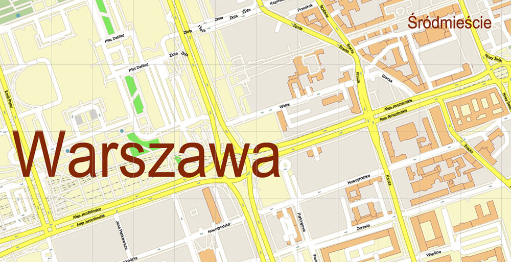
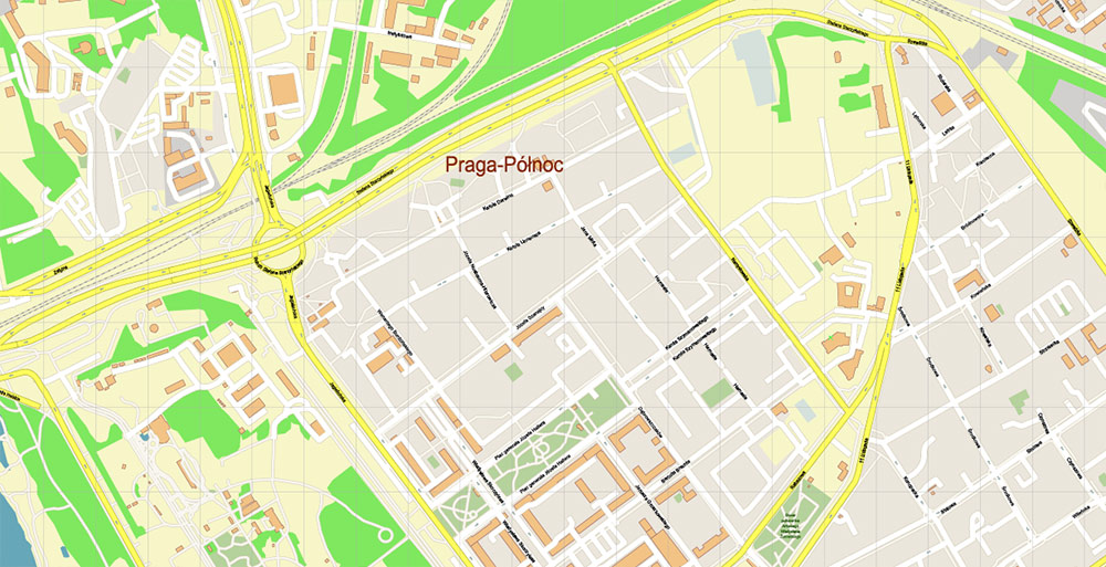
Warsaw is divided into the following districts: Center, South, North, East and West. The central part is the districts of Śródmieście, Wola, Mokotów, Żoliborz, Ochota, Praga Północ, Praga Południe.
In Warsaw, it is easy to find accommodation for any budget. It is better to book hotels and apartments in the areas of Śródmieście, Wola and Mokotów.
The capital of Poland is famous for its rich nightlife. In the old town and its surroundings, you can find many good restaurants and noisy bars with a great atmosphere, food, and beer.
Warsaw is generally a safe city. At the bus station and railway station, you can meet homeless people and drunks, but they almost always do not show aggression. Pickpockets can operate in places with large crowds of people, so you need to keep your personal belongings under control. You should also be wary of football fans (during matches) and drinking companies that can be found near bars.
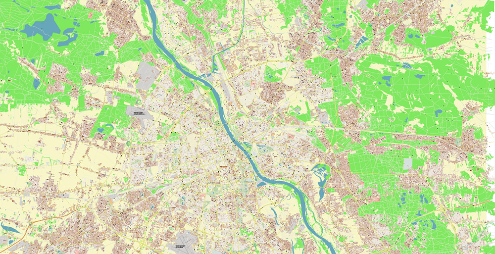
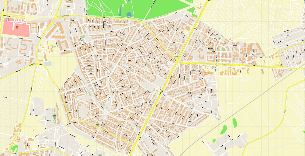
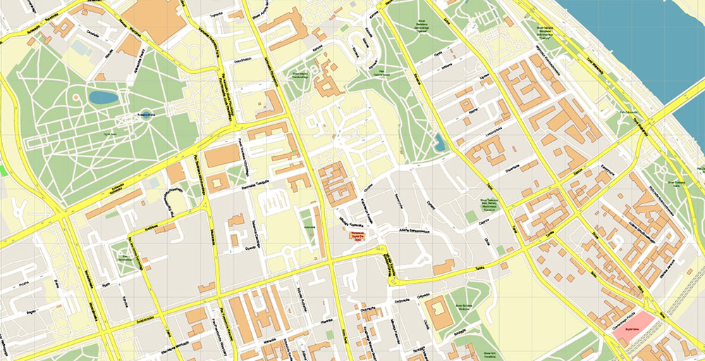
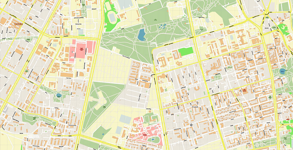
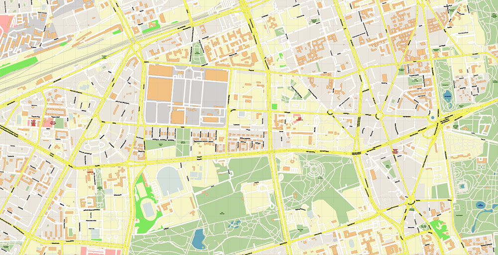
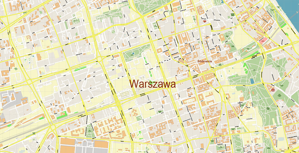
Printable PDF Vector Map of Warsaw Warszawa Poland detailed City Plan scale 1:2877 full editable Adobe PDF Street Map in layers, scalable, text / curves format all names, 92 MB ZIP
All street names, Main Objects, Buildings. Map for design, printing, arts, projects, presentations, for architects, designers, and builders, business, logistics.
Need AutoCAD DWG / DXF? Please, contact us!
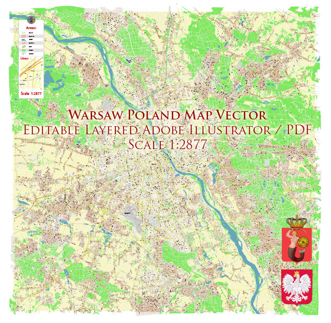
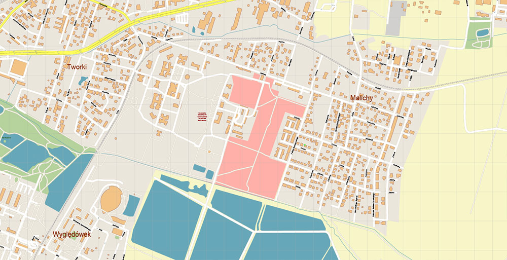
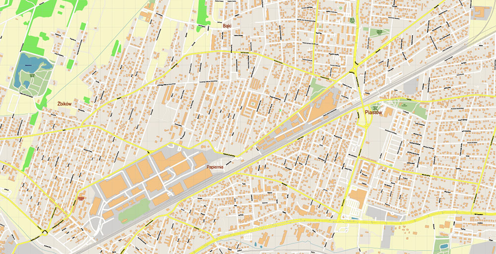
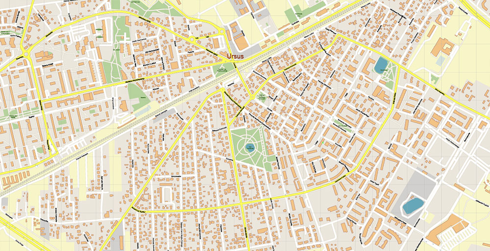
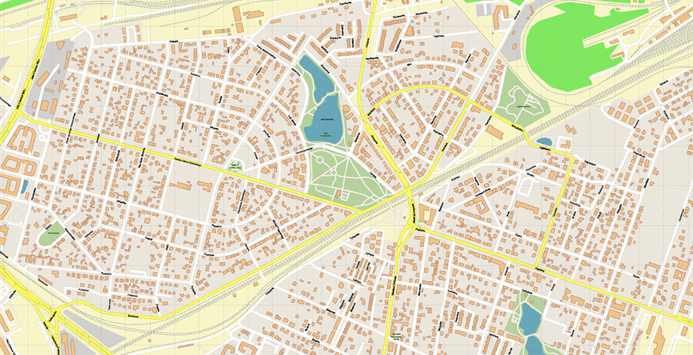
Warsaw Warszawa Poland PDF Vector Map Accurate High Detailed City Plan editable Adobe PDF Street Map in layers
Layers list:
- Legend
- Grids
- Labels of roads
- Names of places (city, hamlet, etc.)
- Names of objects (hospitals, parks, water)
- Names of main streets
- Names of civil streets
- Arrows of street drive direction
- Main Streets, roads
- Civil streets
- Railroads
- Buildings
- Airports and heliports
- Water objects (rivers, lakes, ponds)
- Waterways
- Color fills (parks, hospital areas, land use, etc.)
- Background
Warsaw Warszawa Poland PDF Vector Map Accurate High Detailed City Plan editable Adobe PDF Street Map in layers
Warsaw Warszawa Poland PDF Vector Map Accurate High Detailed City Plan editable Adobe PDF Street Map in layers
Warsaw Warszawa Poland PDF Vector Map Accurate High Detailed City Plan editable Adobe PDF Street Map in layers
Warsaw Warszawa Poland PDF Vector Map Accurate High Detailed City Plan editable Adobe PDF Street Map in layers
Warsaw Warszawa Poland PDF Vector Map Accurate High Detailed City Plan editable Adobe PDF Street Map in layers
Warsaw Warszawa Poland PDF Vector Map Accurate High Detailed City Plan editable Adobe PDF Street Map in layers
Warsaw Warszawa Poland PDF Vector Map Accurate High Detailed City Plan editable Adobe PDF Street Map in layers
Warsaw Warszawa Poland PDF Vector Map Accurate High Detailed City Plan editable Adobe PDF Street Map in layers
Warsaw Warszawa Poland PDF Vector Map Accurate High Detailed City Plan editable Adobe PDF Street Map in layers
Warsaw Warszawa Poland PDF Vector Map Accurate High Detailed City Plan editable Adobe PDF Street Map in layers
Warsaw Warszawa Poland PDF Vector Map Accurate High Detailed City Plan editable Adobe PDF Street Map in layers
Warsaw Warszawa Poland PDF Vector Map Accurate High Detailed City Plan editable Adobe PDF Street Map in layers
Warsaw Warszawa Poland PDF Vector Map Accurate High Detailed City Plan editable Adobe PDF Street Map in layers
Warsaw Warszawa Poland PDF Vector Map Accurate High Detailed City Plan editable Adobe PDF Street Map in layers
Warsaw Warszawa Poland PDF Vector Map Accurate High Detailed City Plan editable Adobe PDF Street Map in layers
Warsaw Warszawa Poland PDF Vector Map Accurate High Detailed City Plan editable Adobe PDF Street Map in layers
Warsaw Warszawa Poland PDF Vector Map Accurate High Detailed City Plan editable Adobe PDF Street Map in layers
Warsaw Warszawa Poland PDF Vector Map Accurate High Detailed City Plan editable Adobe PDF Street Map in layers
Warsaw Warszawa Poland PDF Vector Map Accurate High Detailed City Plan editable Adobe PDF Street Map in layers
Warsaw Warszawa Poland PDF Vector Map Accurate High Detailed City Plan editable Adobe PDF Street Map in layers
Warsaw Warszawa Poland PDF Vector Map Accurate High Detailed City Plan editable Adobe PDF Street Map in layers
Warsaw Warszawa Poland PDF Vector Map Accurate High Detailed City Plan editable Adobe PDF Street Map in layers

 Author: Kirill Shrayber, Ph.D. FRGS
 Street Map editable Adobe Illustrator in layers")


 Street Map editable Adobe Illustrator in layers")