Extended Description of the Vector Map
Printable Vector Map of the United States 1977 High detailed fully editable Adobe Illustrator Map in layers V.8, scalable, text curves format all names, 13 MB ZIP
Principal ROADS and railroads, Water Objects, States, Cities. Map for design, printing, arts, projects, presentations, for architects, designers, and builders, business, logistics.
The most exact and detailed map of the United States in scale.
ALSO: AI, DWG, DXF, CDR and other formats: free convert for our customers.
For Editing and High-Quality Printing
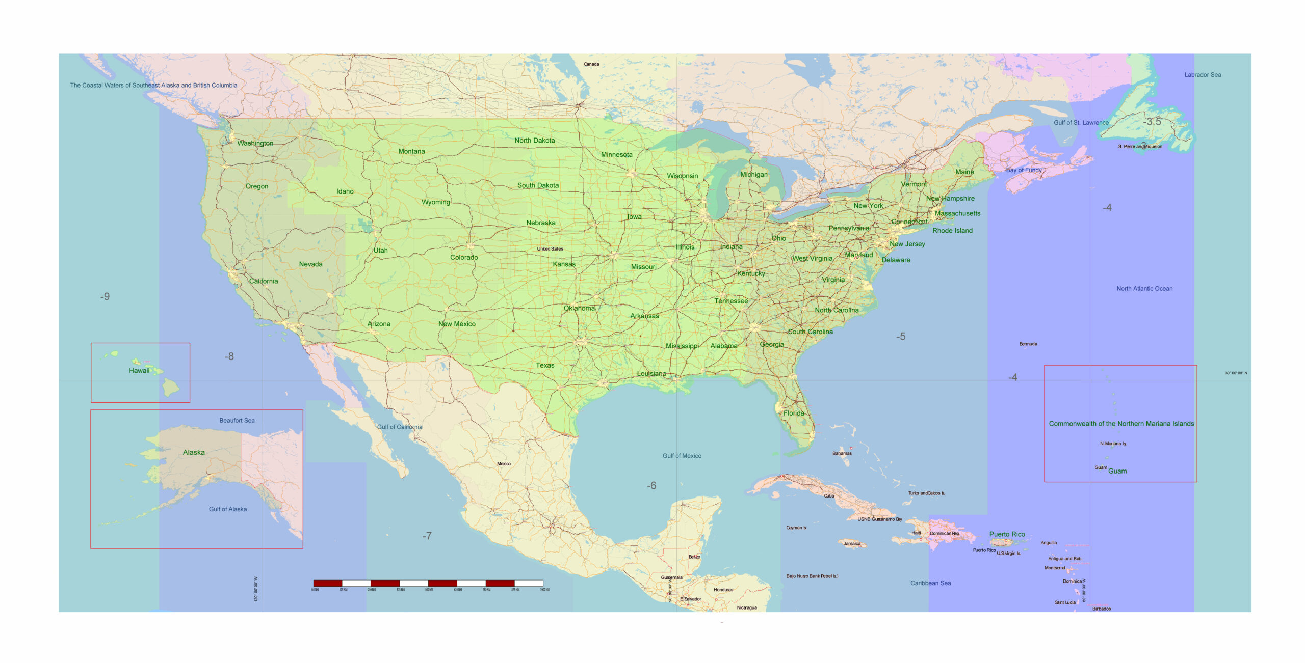
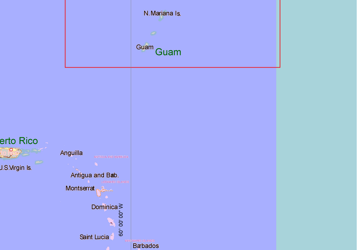
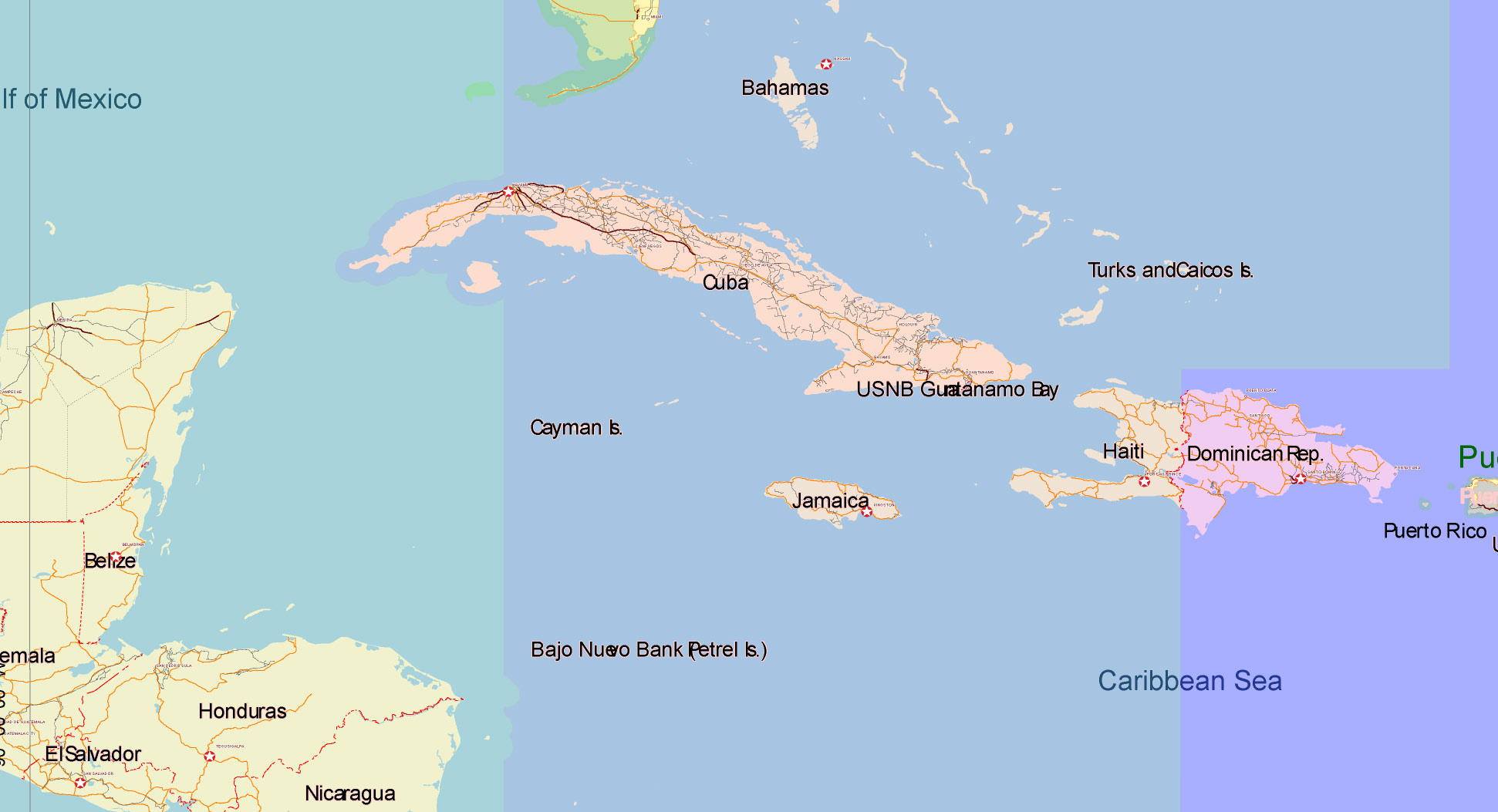
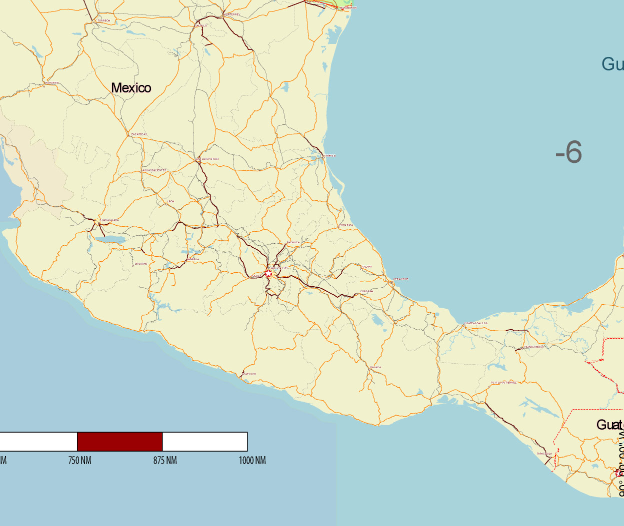
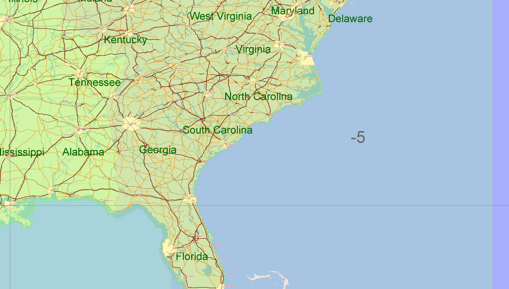
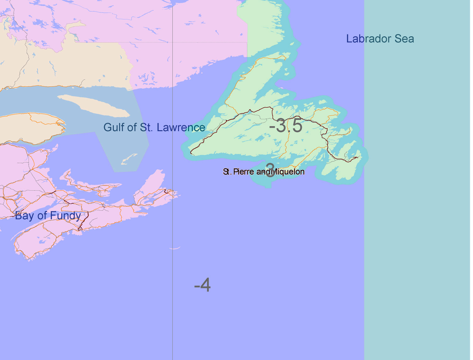
USA Adobe Illustrator vector map in English – HIGH DETAILED, colored, layered
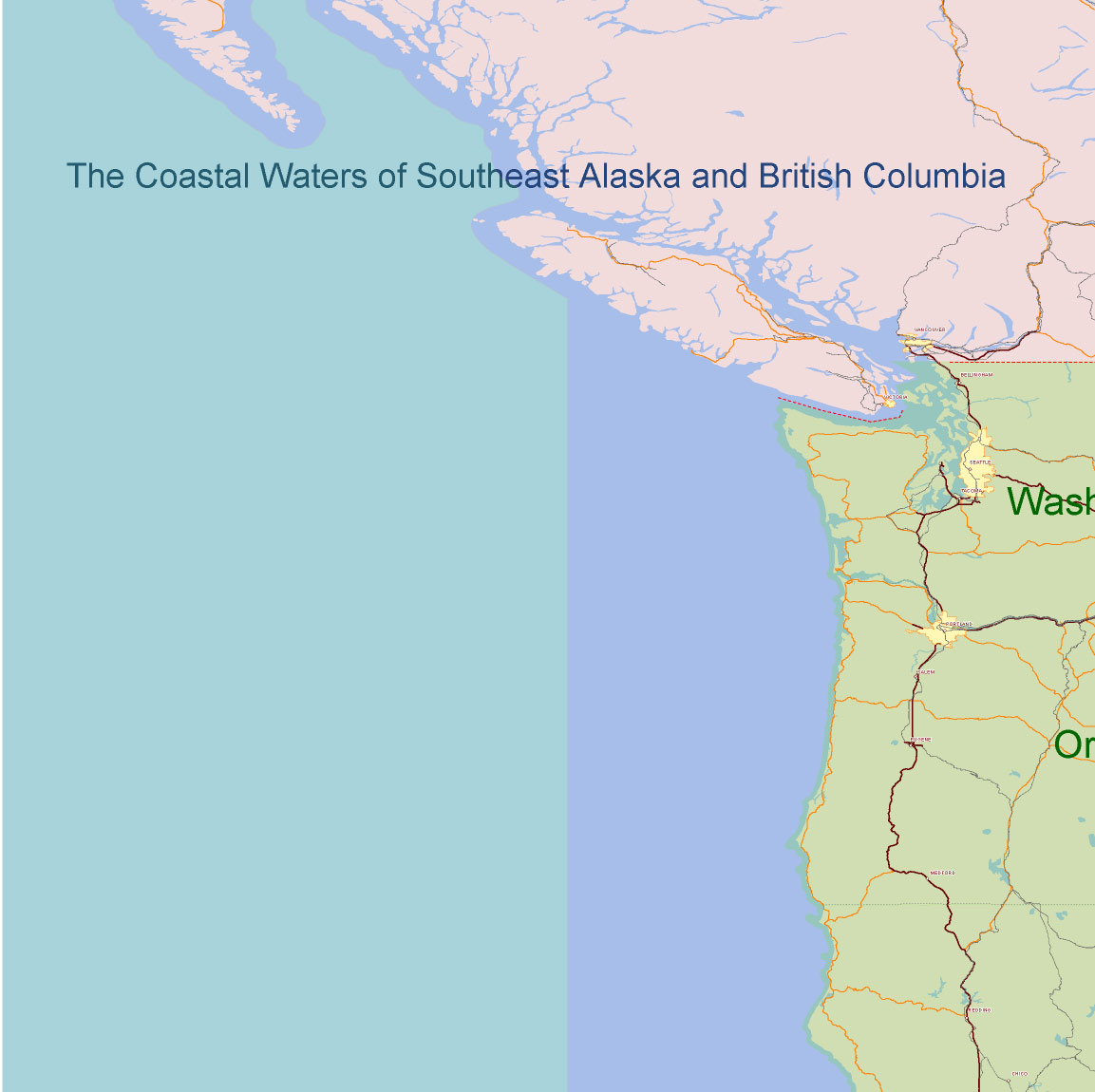
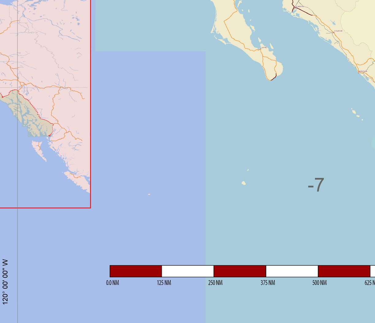
USA Adobe Illustrator vector map in English – HIGH DETAILED, colored, layered
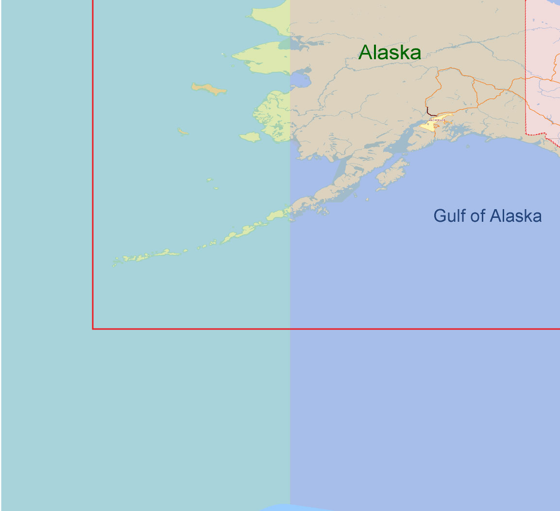
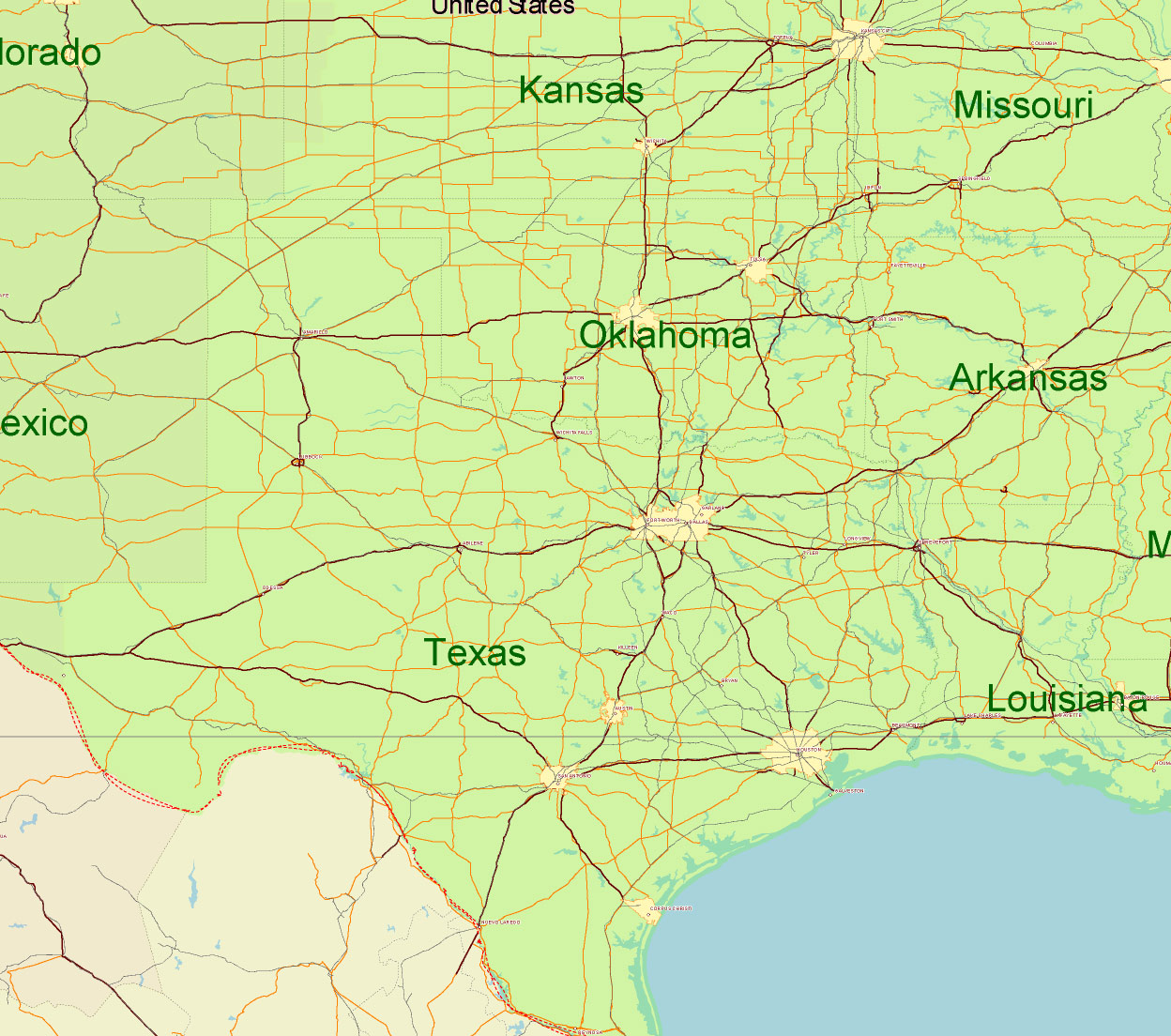
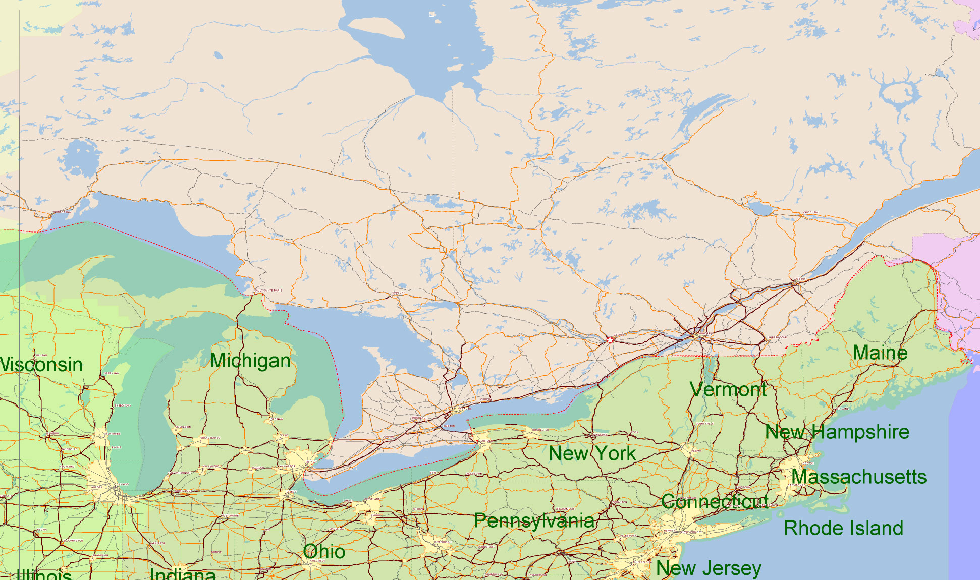
USA Adobe Illustrator vector map in English – HIGH DETAILED, colored, layered
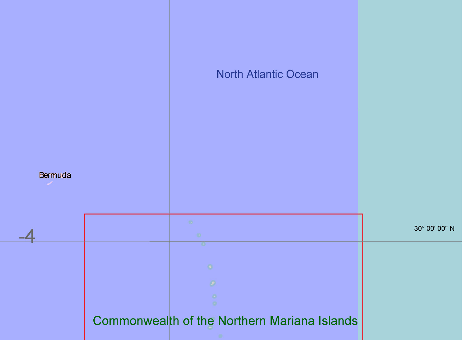
USA Adobe Illustrator vector map in English – HIGH DETAILED, colored, layered
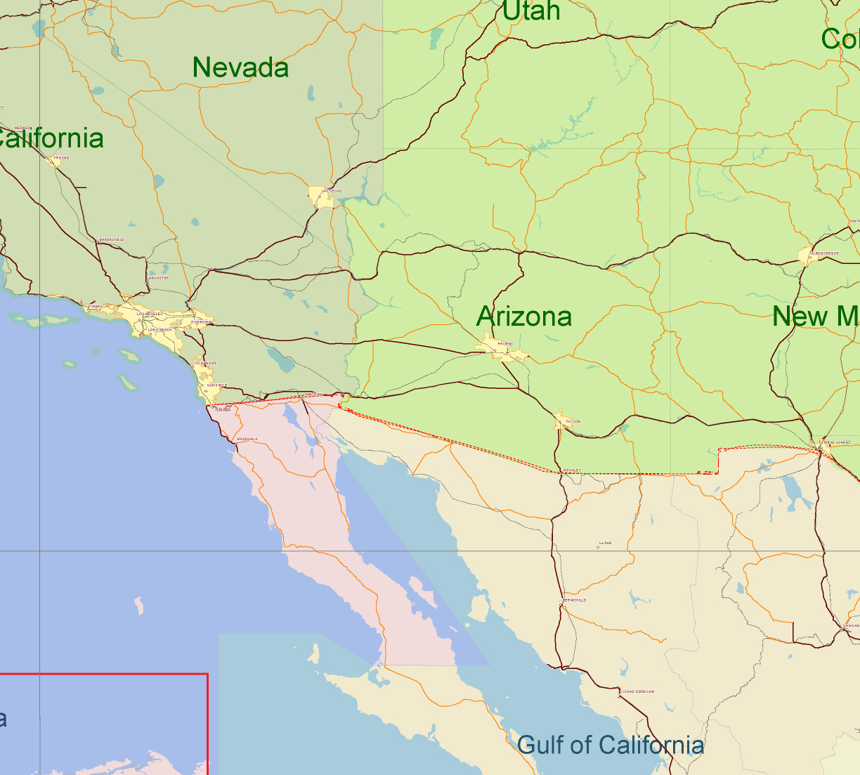
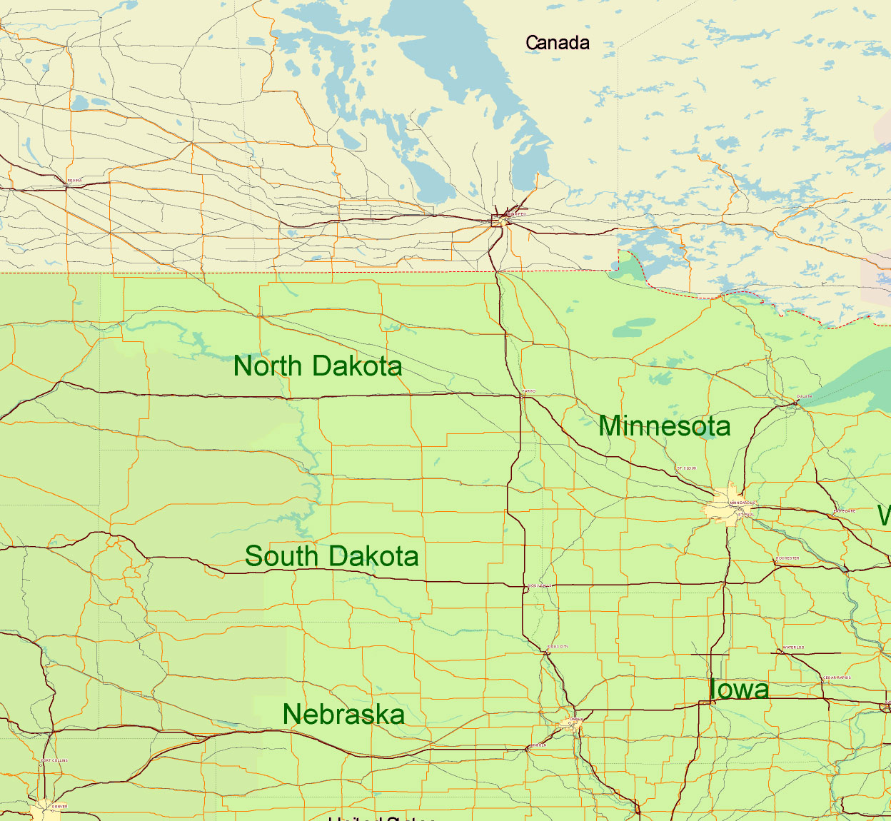
USA Adobe Illustrator vector map in English – HIGH DETAILED, colored, layered
USA Adobe Illustrator vector map in English – HIGH DETAILED, colored, layered
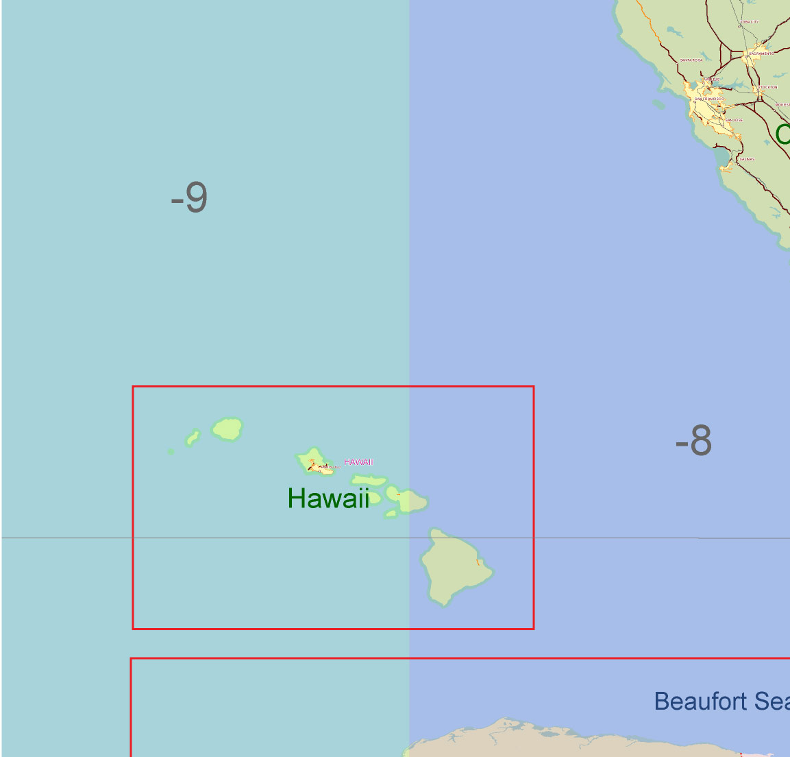
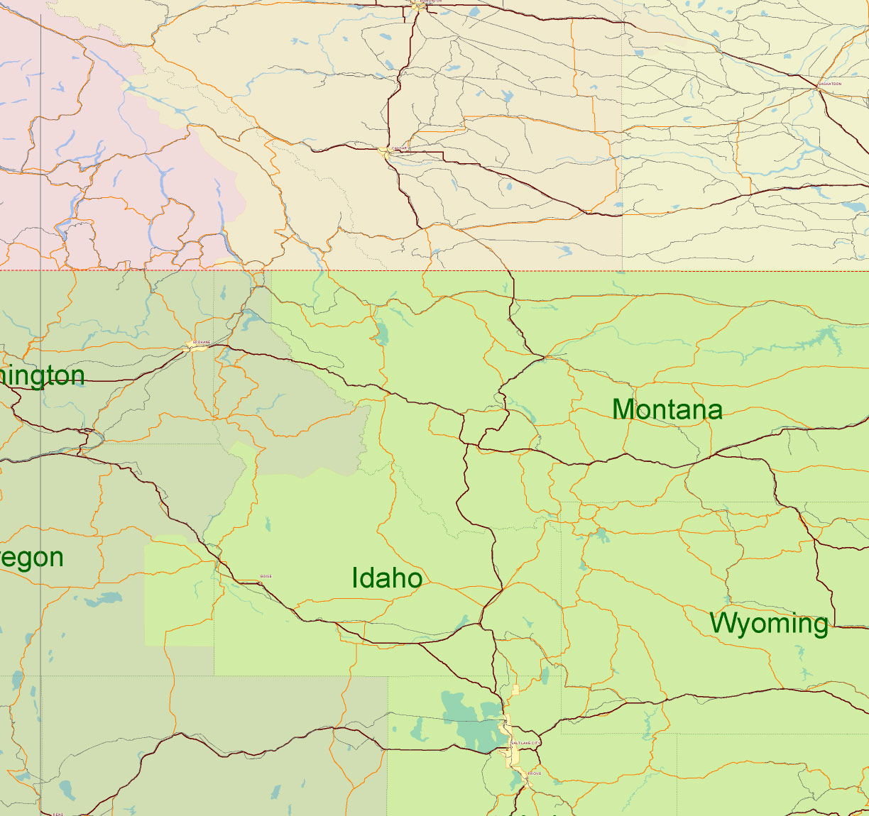
USA Adobe Illustrator vector map in English – HIGH DETAILED, colored, layered
USA Adobe Illustrator vector map in English – HIGH DETAILED, colored, layered
USA Adobe Illustrator vector map in English – HIGH DETAILED, colored, layered
USA Adobe Illustrator vector map in English – HIGH DETAILED, colored, layered
USA Adobe Illustrator vector map in English – HIGH DETAILED, colored, layered
USA Adobe Illustrator vector map in English – HIGH DETAILED, colored, layered
USA Adobe Illustrator vector map in English – HIGH DETAILED, colored, layered
USA Adobe Illustrator vector map in English – HIGH DETAILED, colored, layered
USA Adobe Illustrator vector map in English – HIGH DETAILED, colored, layered

 Author: Kirill Shrayber, Ph.D. FRGS
 and Canada Vector Map Main Roads Cities States Counties editable layered Adobe Illustrator")


