Extended Description of the Vector Map
Printable Vector Map of North-West part of the United States + South-West part of the Canada detailed Road Admin Map full editable Adobe Illustrator Street Map in layers, scalable, text format all names, 105 MB ZIP
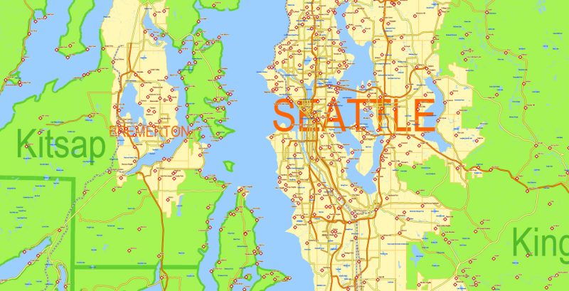
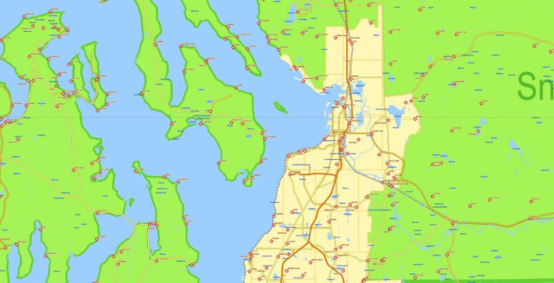
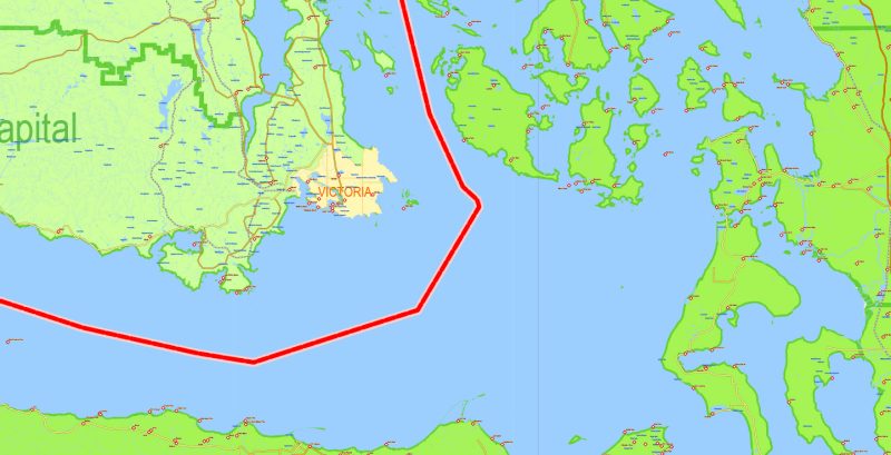
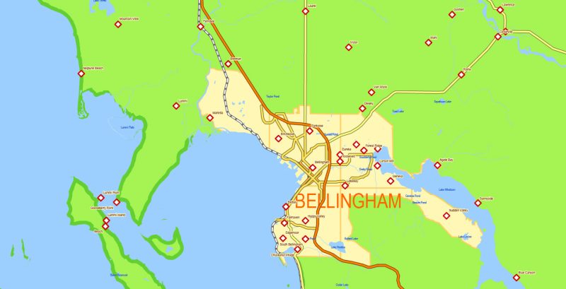
Principal Roads, Urban Areas, Counties. Map for design, printing, arts, projects, presentations, for architects, designers, and builders, business, logistics.
Layers: admin, water, waterways, streets_roads, railroads, urban_areas, names_water, names_counties, names_urbans, names_places, dots_places, grids, legend, etc.
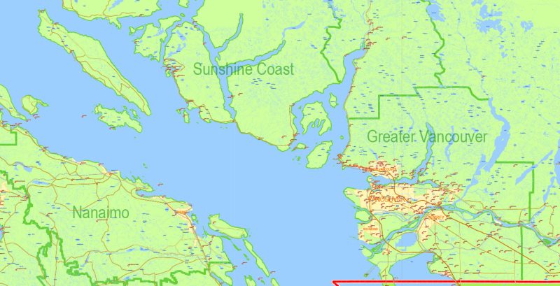
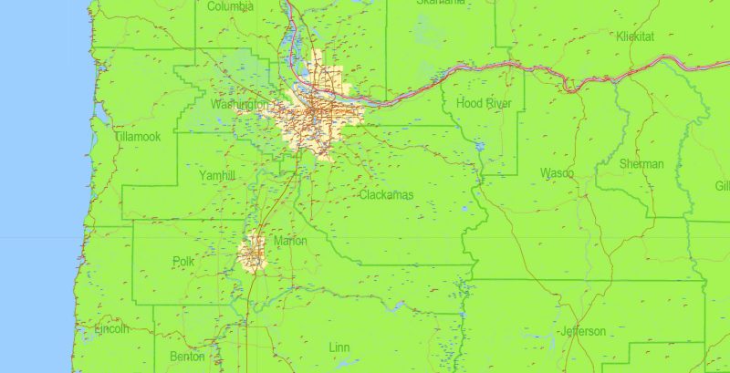
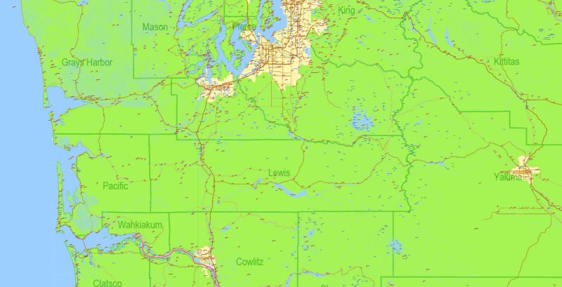
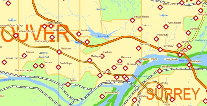
The most exact and detailed map of the city in scale.
For Editing and High-Quality Printing
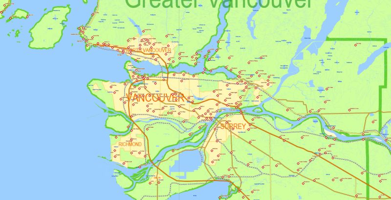
Map covered area
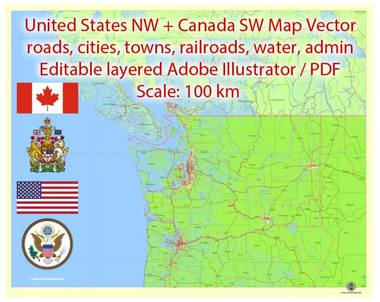
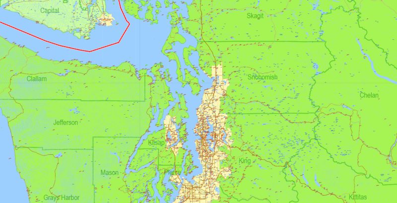
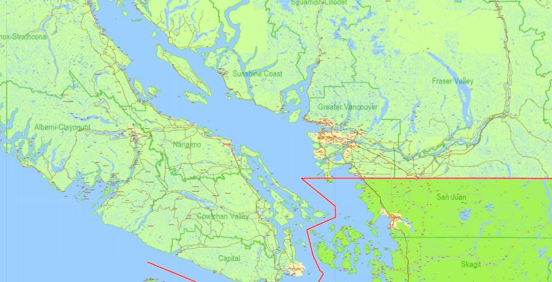
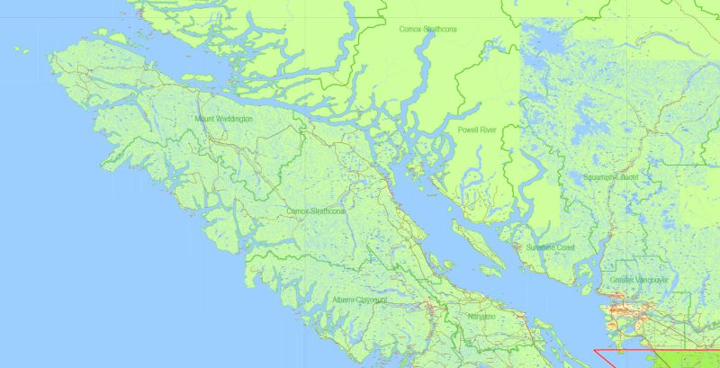
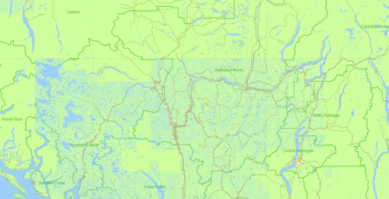
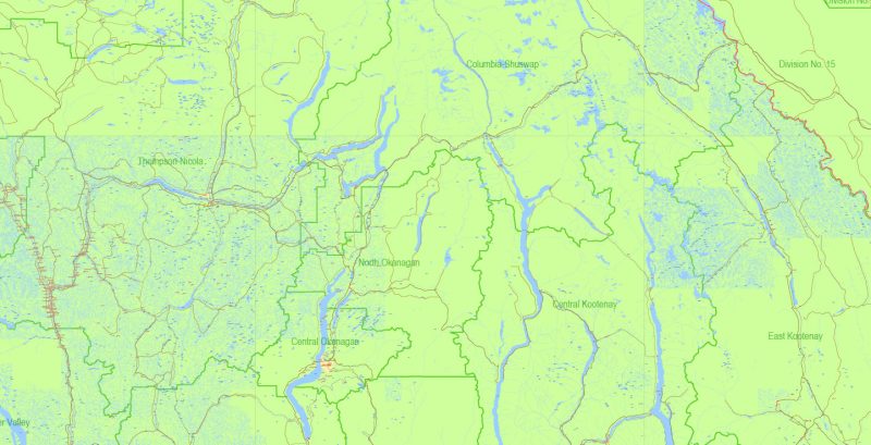
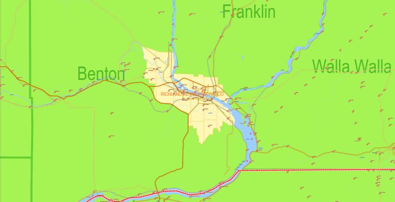
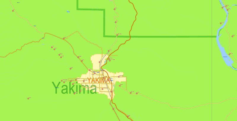
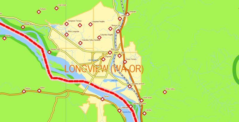
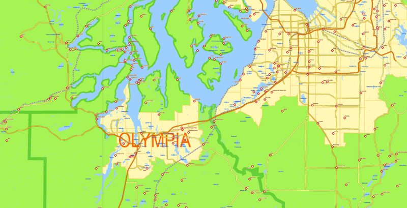
US NW part + Canada SW part Map Vector Exact Road Admin detailed Map editable Adobe Illustrator in layers
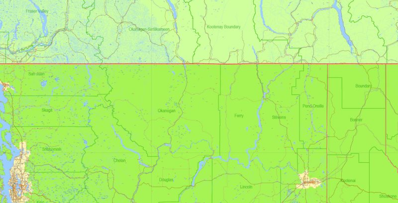
US NW part + Canada SW part Map Vector Exact Road Admin detailed Map editable Adobe Illustrator in layers
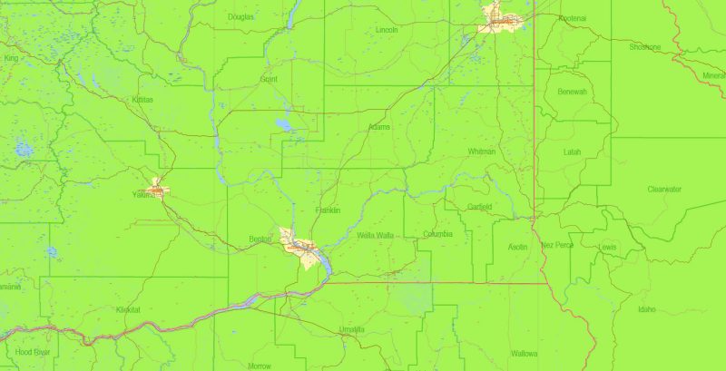
US NW part + Canada SW part Map Vector Exact Road Admin detailed Map editable Adobe Illustrator in layers
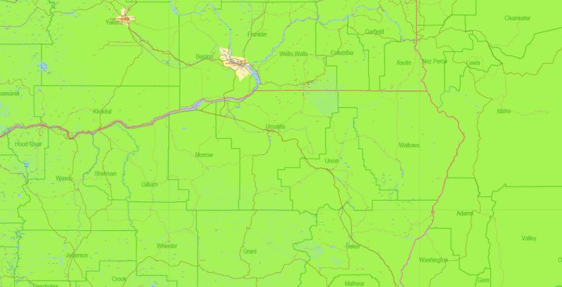
US NW part + Canada SW part Map Vector Exact Road Admin detailed Map editable Adobe Illustrator in layers
US NW part + Canada SW part Map Vector Exact Road Admin detailed Map editable Adobe Illustrator in layers
US NW part + Canada SW part Map Vector Exact Road Admin detailed Map editable Adobe Illustrator in layers
US NW part + Canada SW part Map Vector Exact Road Admin detailed Map editable Adobe Illustrator in layers
US NW part + Canada SW part Map Vector Exact Road Admin detailed Map editable Adobe Illustrator in layers
US NW part + Canada SW part Map Vector Exact Road Admin detailed Map editable Adobe Illustrator in layers
US NW part + Canada SW part Map Vector Exact Road Admin detailed Map editable Adobe Illustrator in layers
US NW part + Canada SW part Map Vector Exact Road Admin detailed Map editable Adobe Illustrator in layers
US NW part + Canada SW part Map Vector Exact Road Admin detailed Map editable Adobe Illustrator in layers
US NW part + Canada SW part Map Vector Exact Road Admin detailed Map editable Adobe Illustrator in layers
US NW part + Canada SW part Map Vector Exact Road Admin detailed Map editable Adobe Illustrator in layers
US NW part + Canada SW part Map Vector Exact Road Admin detailed Map editable Adobe Illustrator in layers
US NW part + Canada SW part Map Vector Exact Road Admin detailed Map editable Adobe Illustrator in layers
US NW part + Canada SW part Map Vector Exact Road Admin detailed Map editable Adobe Illustrator in layers
US NW part + Canada SW part Map Vector Exact Road Admin detailed Map editable Adobe Illustrator in layers
US NW part + Canada SW part Map Vector Exact Road Admin detailed Map editable Adobe Illustrator in layers
US NW part + Canada SW part Map Vector Exact Road Admin detailed Map editable Adobe Illustrator in layers
US NW part + Canada SW part Map Vector Exact Road Admin detailed Map editable Adobe Illustrator in layers
US NW part + Canada SW part Map Vector Exact Road Admin detailed Map editable Adobe Illustrator in layers
Author Rating
Aggregate Rating
no rating based on 0 votes
@vectormapper
Product Name US NW part + Canada SW part Map Vector Exact Road Admin detailed Map editable Adobe Illustrator in layers
Price
USD 69
Product Availability
Available in Stock


 Author: Kirill Shrayber, Ph.D. FRGS