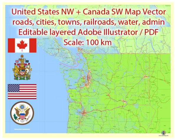
The geology of the U.S. Northwest and Canada’s Southwest is a complex and diverse mix of rock formations, tectonic plate interactions, and geological features. This region is known for its stunning landscapes and geological history. Here’s a description of the geology in this area:
- Plate Tectonics: The western part of North America is characterized by the convergent boundary between the Pacific Plate and the North American Plate. This tectonic interaction has led to the creation of several significant geological features.
- Cascade Range: The Cascade Range is a volcanic mountain range extending from northern California through Oregon and Washington to British Columbia. It’s home to several active volcanoes, including Mount St. Helens, Mount Rainier, and Mount Hood. These volcanoes are part of the Pacific Ring of Fire, where tectonic plates interact, leading to volcanic and seismic activity.
- Cascadia Subduction Zone: Off the coast of the Pacific Northwest, the Juan de Fuca Plate is subducting beneath the North American Plate. This subduction zone is capable of generating very large earthquakes and tsunamis.
- Basin and Range Province: In the eastern part of Oregon and Nevada, you’ll find the Basin and Range Province, characterized by elongated mountain ranges separated by down-dropped valleys. This landscape is the result of the stretching and thinning of the Earth’s crust.
- Columbia Plateau: In the interior of the Pacific Northwest, the Columbia Plateau is a vast, flat region formed by massive volcanic eruptions during the Miocene epoch. It’s now a fertile agricultural area.
- Glacial Geology: The Northwest was significantly affected by glaciation during the last Ice Age. Evidence of this can be seen in the many fjords, U-shaped valleys, and glacially-carved landscapes throughout the region.
- Olympic Peninsula: The Olympic Peninsula in Washington state is home to the Olympic Mountains, which are primarily composed of sedimentary and metamorphic rocks. The region’s complex geology has resulted in diverse and unique ecosystems.
- Columbia River Gorge: This deep canyon in the Pacific Northwest was formed by the Columbia River and is characterized by dramatic cliffs and waterfalls. It’s a product of the river’s erosive power and the underlying basaltic rock layers.
- Canadian Rockies: In Canada’s Southwest, the Canadian Rockies extend into Alberta and British Columbia. These mountains are part of the North American Cordillera and are known for their rugged terrain, glacier-carved valleys, and numerous mineral deposits.
- Fraser River Valley: The Fraser River Valley is an important geological feature in British Columbia. It’s known for its rich agricultural soils and the Fraser River’s role in shaping the landscape.
Overall, the geology of the U.S. Northwest and Canada’s Southwest is a testament to the dynamic forces of plate tectonics, volcanism, glaciation, and erosion, resulting in a region with diverse landscapes and geological features. It’s also of great significance for its potential seismic hazards due to the Cascadia Subduction Zone.


 Author: Kirill Shrayber, Ph.D.