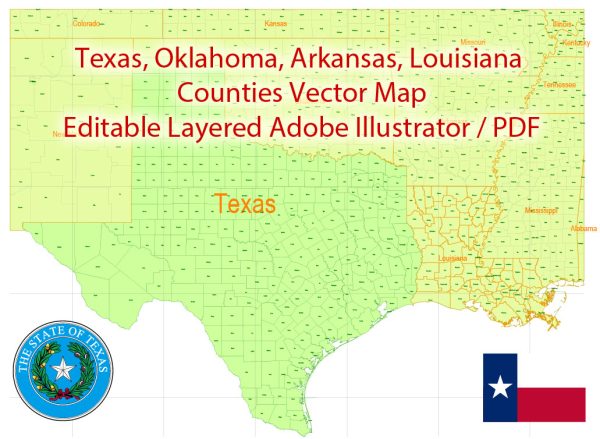
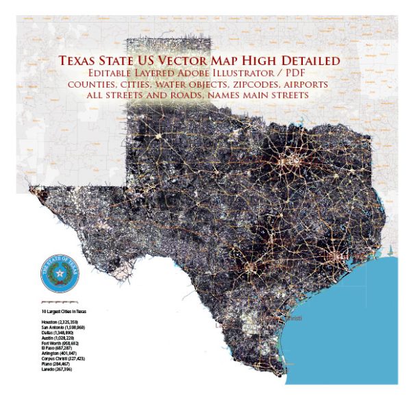
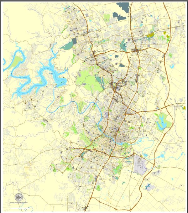
Extended Description of the Vector Map
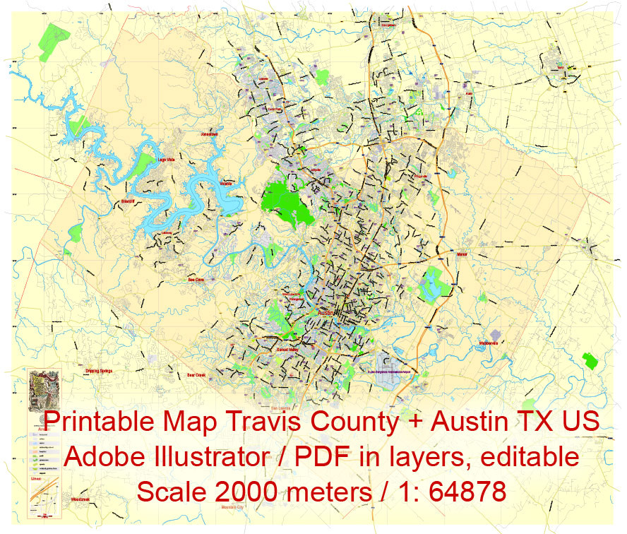
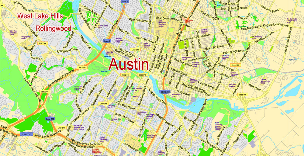
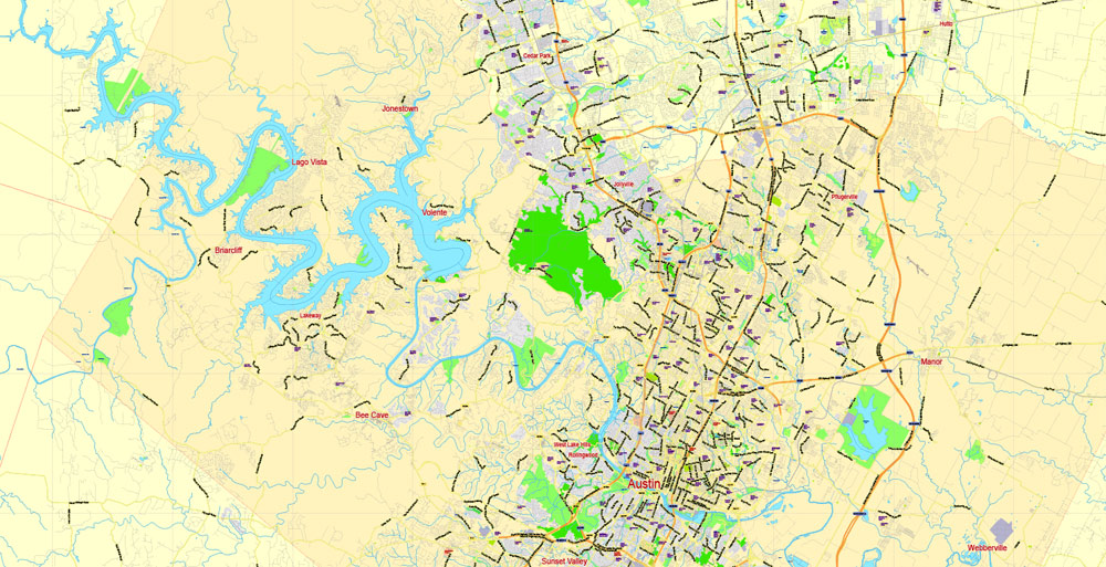
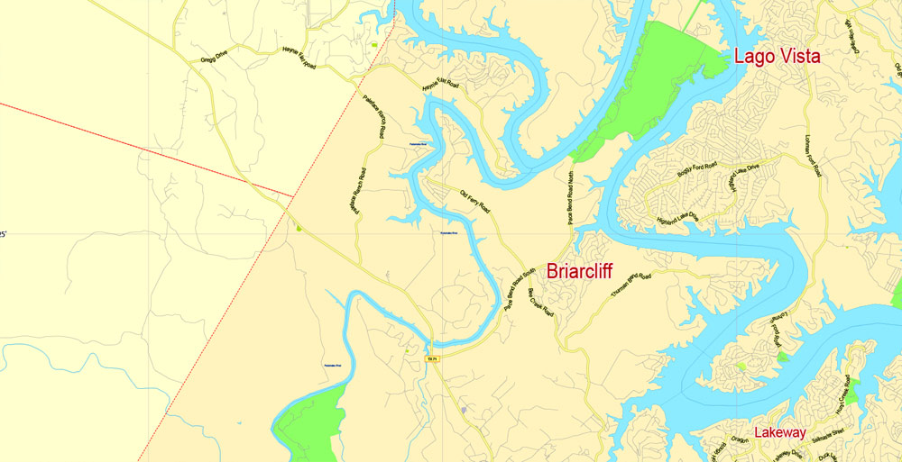
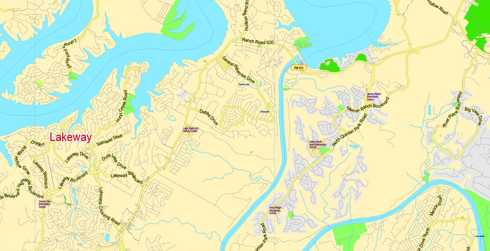
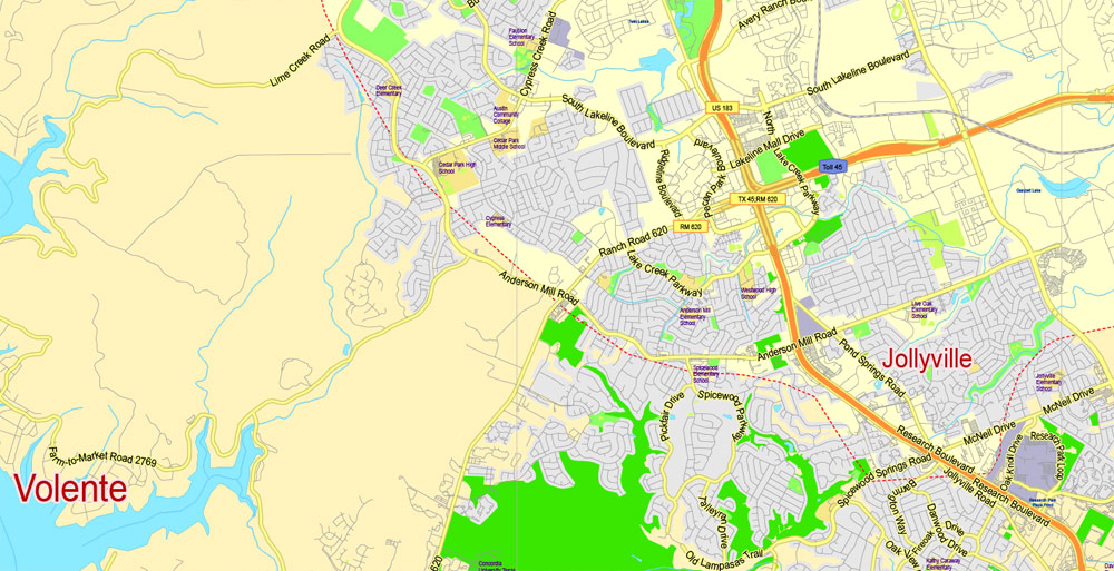
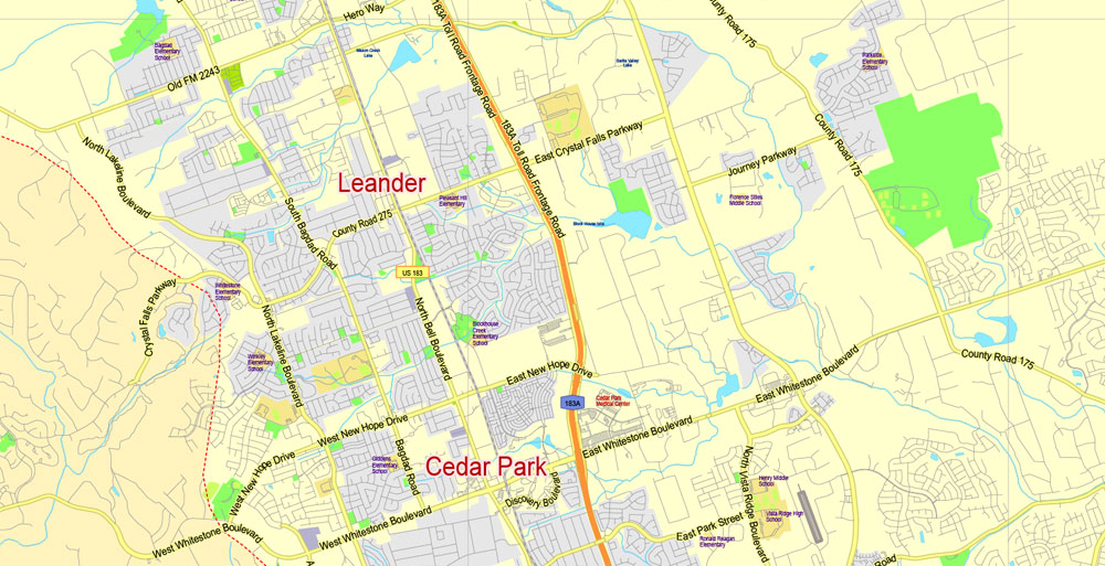
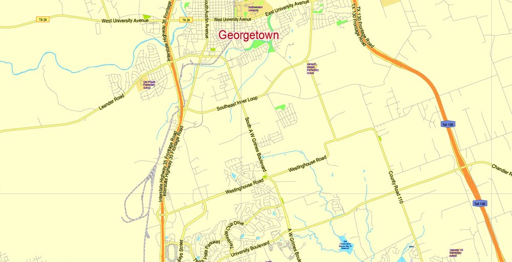
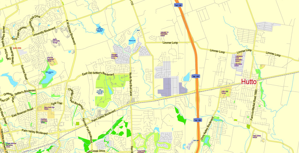
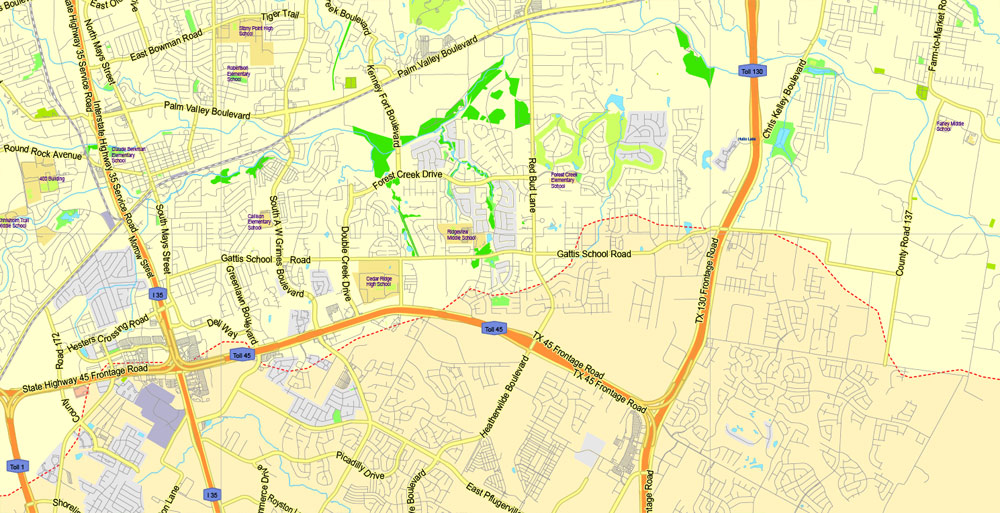
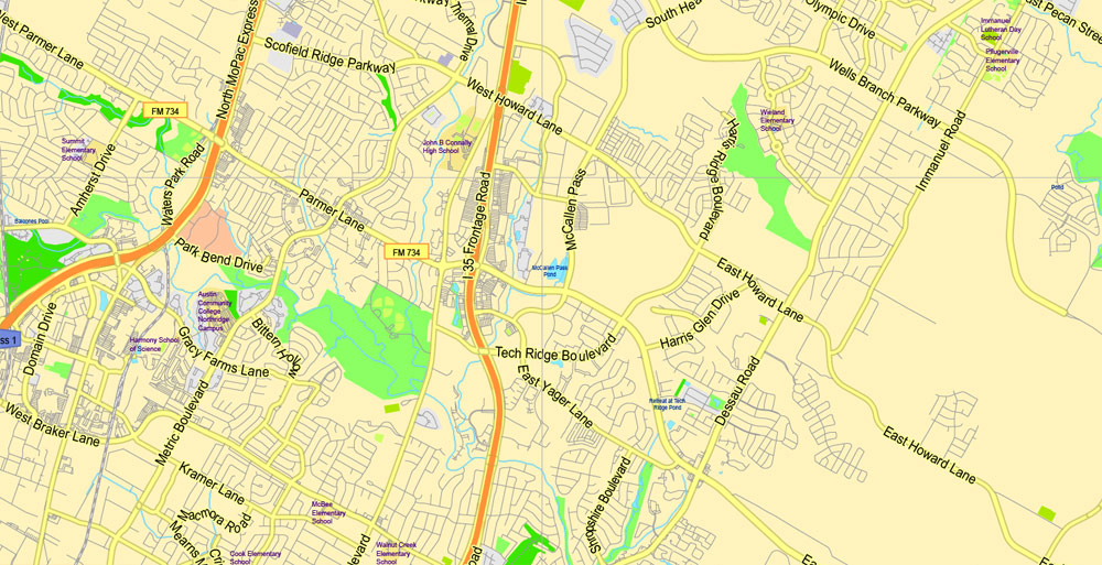
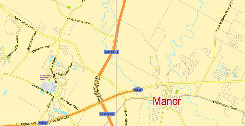
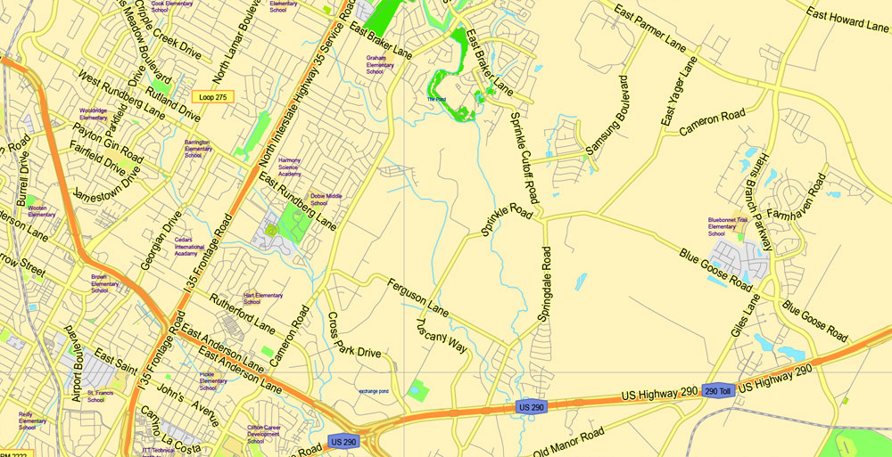
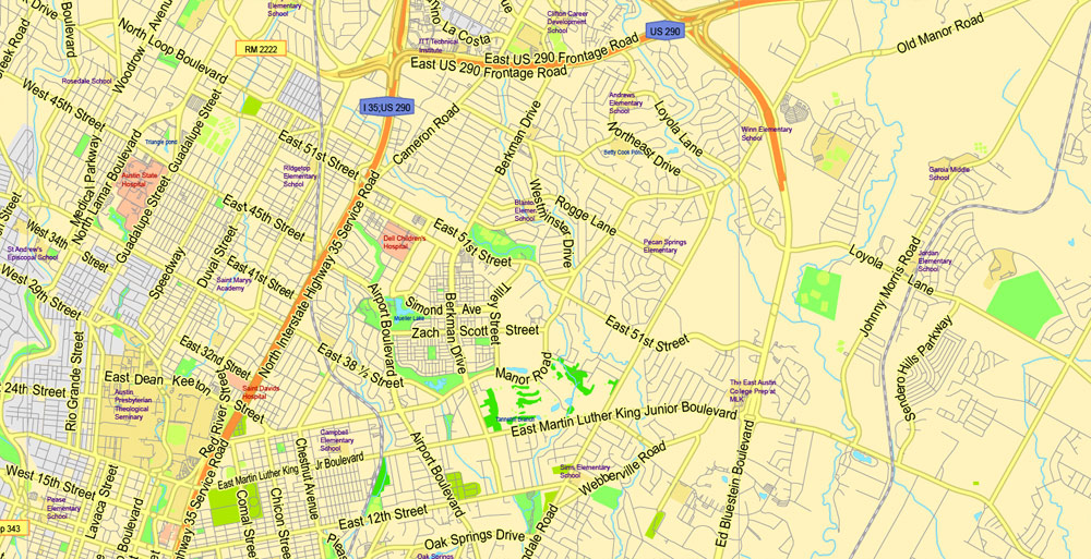
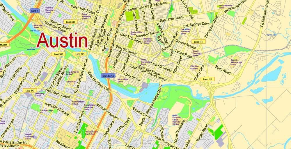
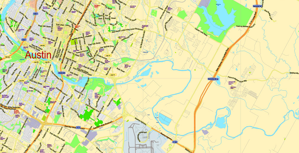
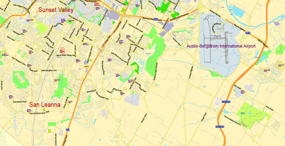
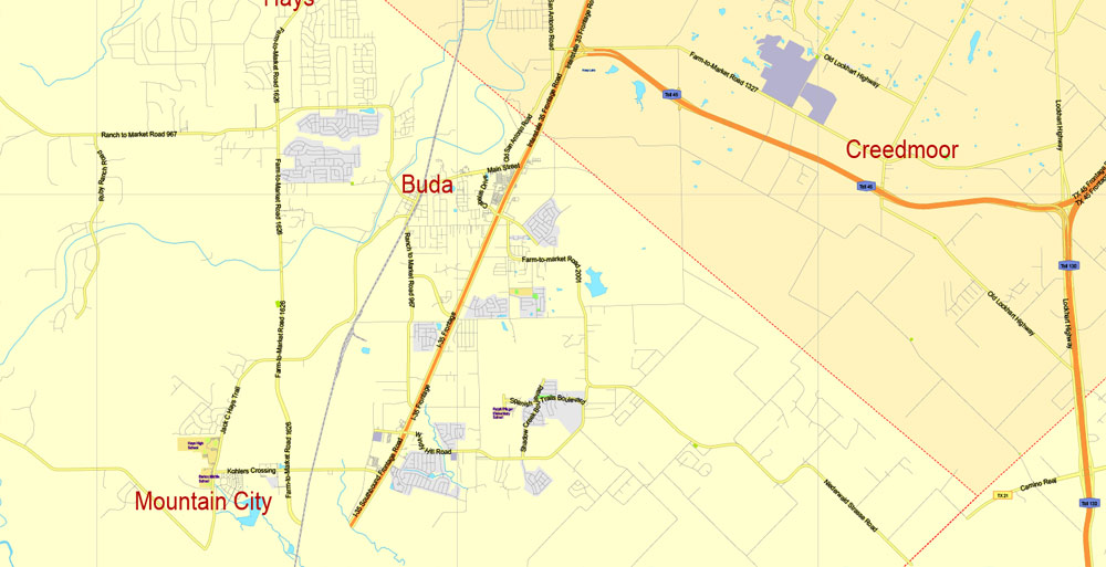
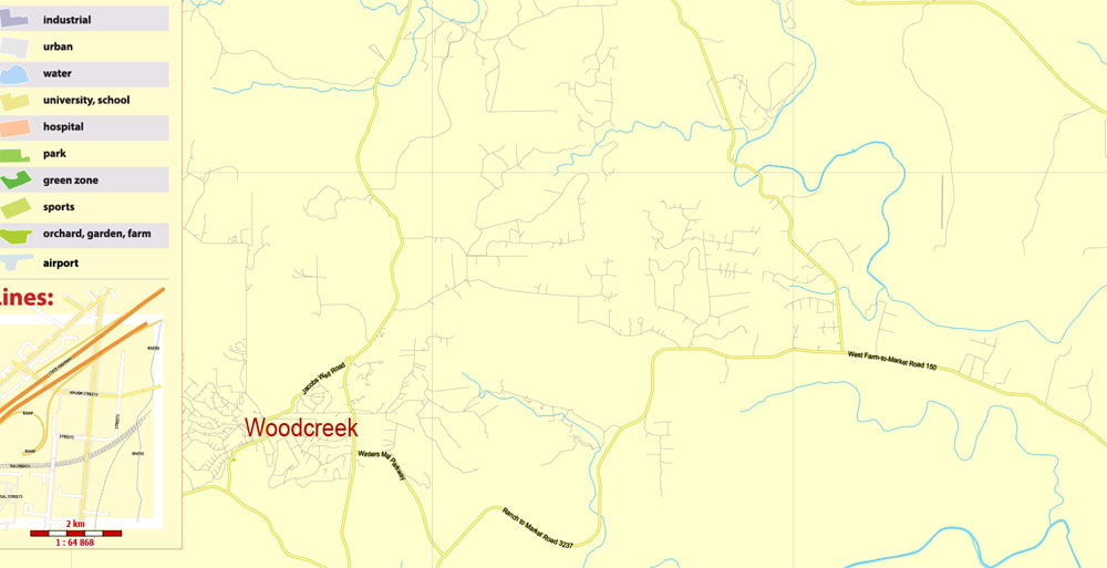
Editable Printable PDF Map Travis County + Austin, Texas US, exact detailed vector Map Scale 100 meters, 1:64878, Adobe PDF, scalable, editable text format street names, 31 mb ZIP
Main streets named, Main Objects Map for design, printing, arts, projects, presentations, for architects, designers and builders, business, logistics.
Layers: back, color_fills, water_objects, streets_roads, labels_roads, names_objects, names_streets, names_places, grids, legend.
The most exact and detailed map of the county.
DWG, DXF, CDR and other formats – on request, same price, please, contact
Travis County, Texas
Travis County is a county located in south central Texas.
Area: 2,650 km² = 1,023 sq mi
Land 990 sq mi (2,564 km2)
Water 33 sq mi (85 km2), 3.2%
Population: 1.177 million
County seat: Austin
Rivers: Colorado River, Pedernales River, Cow Creek,
Points of interest: Texas State Capitol, Zilker Park, Lady Bird Lake
Free download maps:
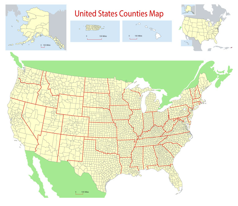
Free Download Vector Map US County and State Adobe Illustrator
Free_Vector_Map_US_States_County_Map.ai
Free Download Vector Map US County and State Adobe PDF
Free_Vector_Map_US_States_County_Map.pdf
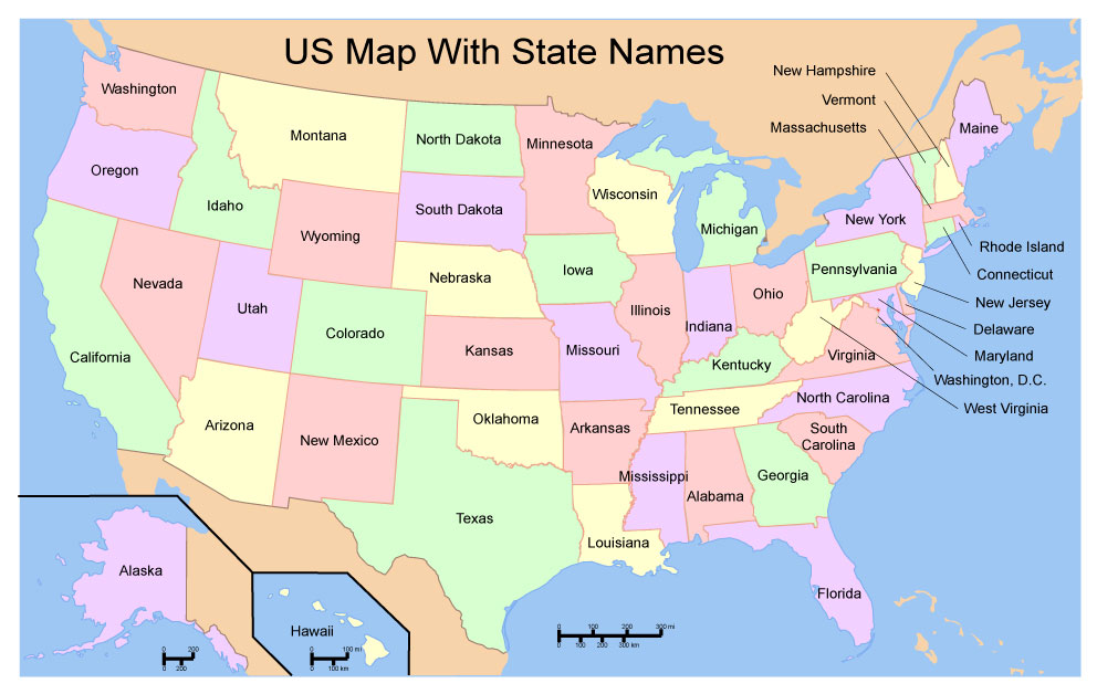
Free Download Vector Map US With States Names, Adobe Illustrator
Free_Map_of_USA_with_state_names_en.ai
Free Download Vector Map US With States Names, Adobe PDF
Free_Map_of_USA_with_state_names_en.pdf
From WIKI
Free vector map World, Adobe Illustrator, download now maps vector clipart
Map for design, projects, presentation free to use as you like.
See also: TERMS & CONDITIONS: SOFTWARE LICENSE AGREEMENT FOR DIGITAL CARTOGRAPHIC DATA.
Need more USA Vector Maps, printable and editable?
Author Rating
Aggregate Rating
no rating based on 0 votes
@vectormapper
Product Name Travis County + Austin PDF Map Texas US Editable Printable exact detailed vector Scale 2000 meters Adobe PDF Street Road Map
Price
USD 49
Product Availability
Available in Stock




 Author: Kirill Shrayber, Ph.D. FRGS