Extended Description of the Vector Map
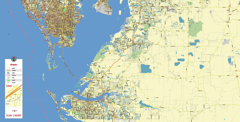
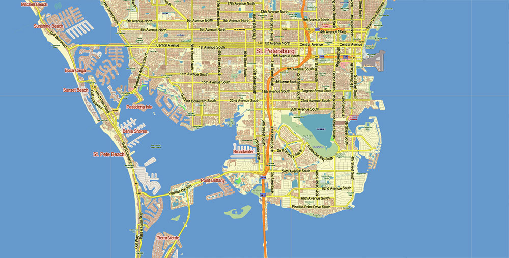
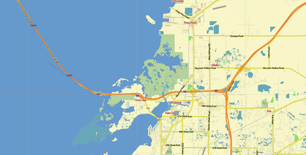
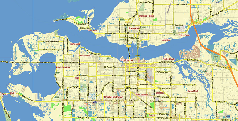
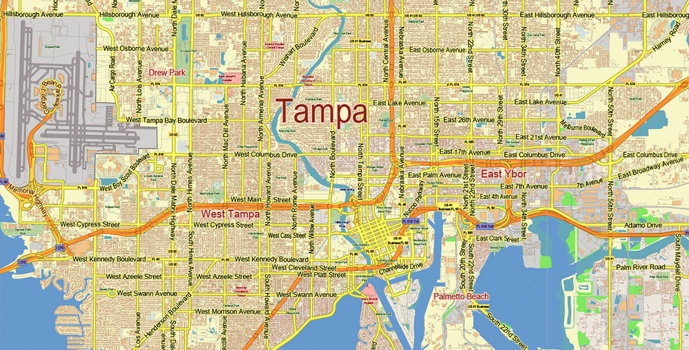
Printable Vector Map of Tampa Bay Florida US Low Detailed (for small print size) City Plan (with the neighborhood) scale 1:66401 full editable Adobe Illustrator Street Map in layers, scalable, text format all names, 34 MB ZIP
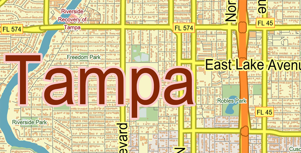
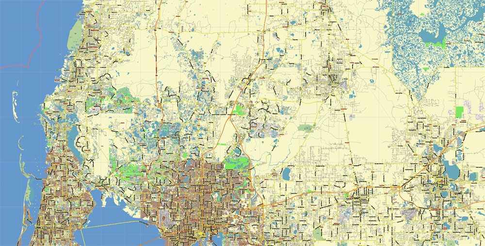
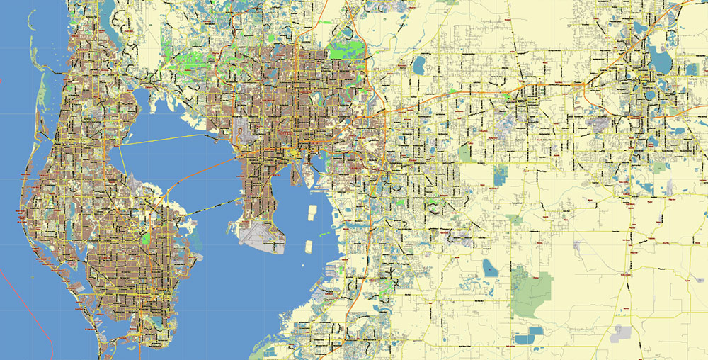
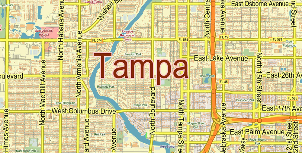
Principal street names, Main Objects, Buildings. Map for design, printing, arts, projects, presentations, for architects, designers, and builders, business, logistics.
Also: We can add (additional layer for this map), any other objects for you. It’s free for our customers.
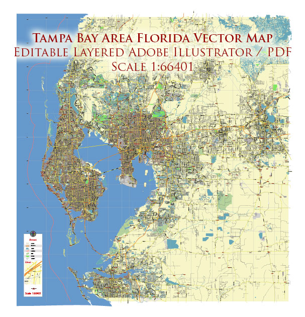
Tampa Bay Florida US Map Vector City Plan Low Detailed (for small print size) Street Map editable Adobe Illustrator in layer
Layers list:
- Legend
- Grids
- Labels of roads
- Names of places (city, hamlet, etc.)
- Names of objects (hospitals, parks, water)
- Names of main streets
- Main Streets, roads
- Residential streets
- Railroads
- Buildings
- Waterways
- Water objects (rivers, lakes, ponds)
- Airports and Heliports
- Color fills (parks, hospital areas, land use, etc.)
- Background and Sea
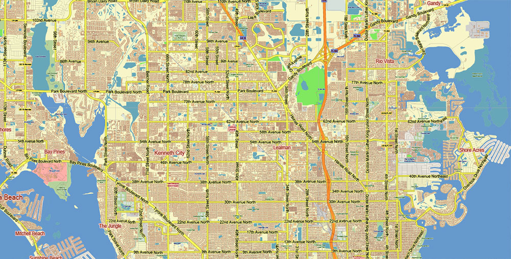
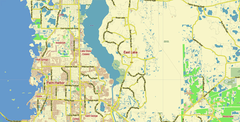
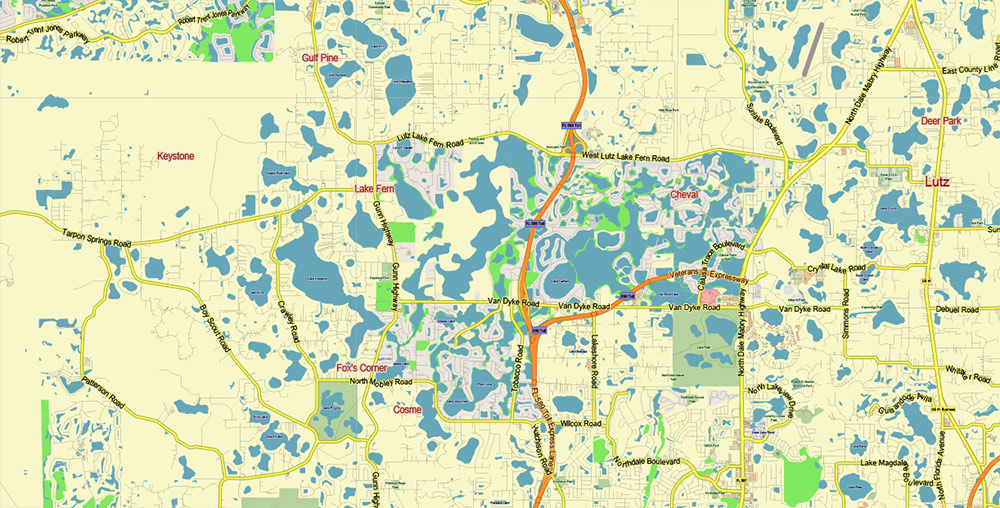
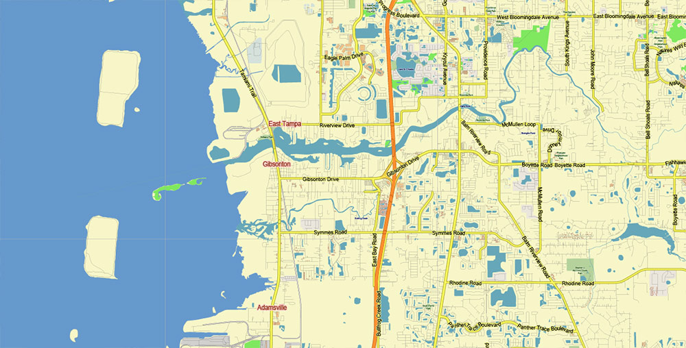
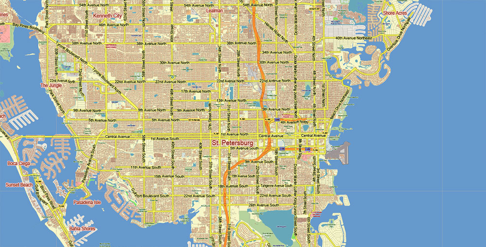
Tampa Bay Florida US Map Vector City Plan Low Detailed (for small print size) Street Map editable Adobe Illustrator in layer
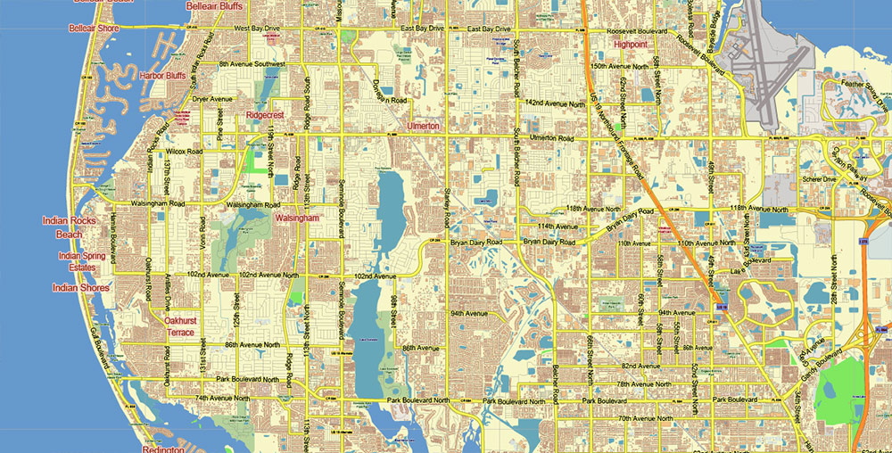
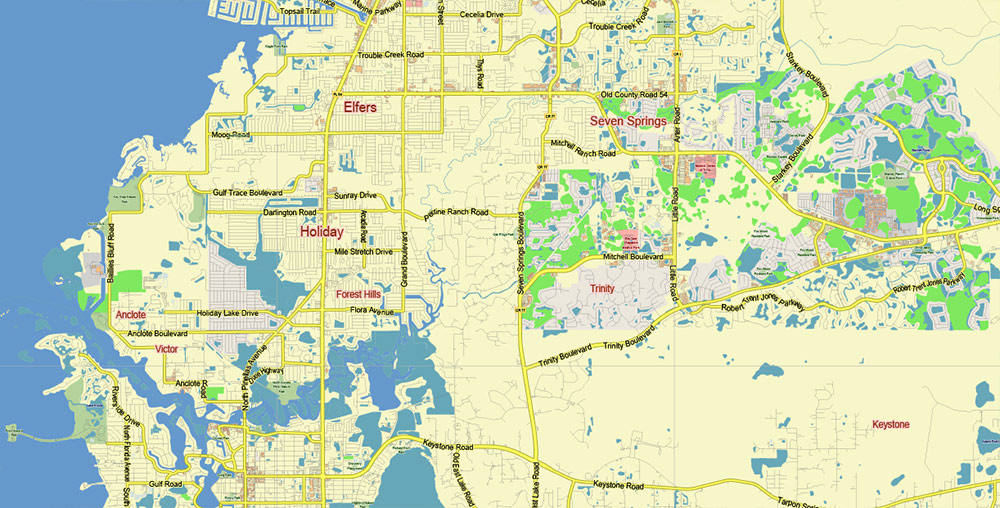
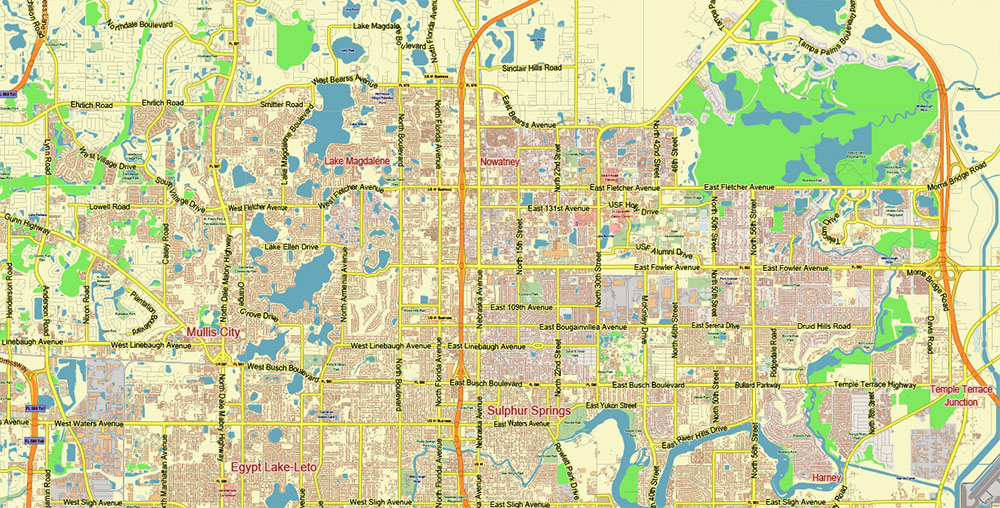
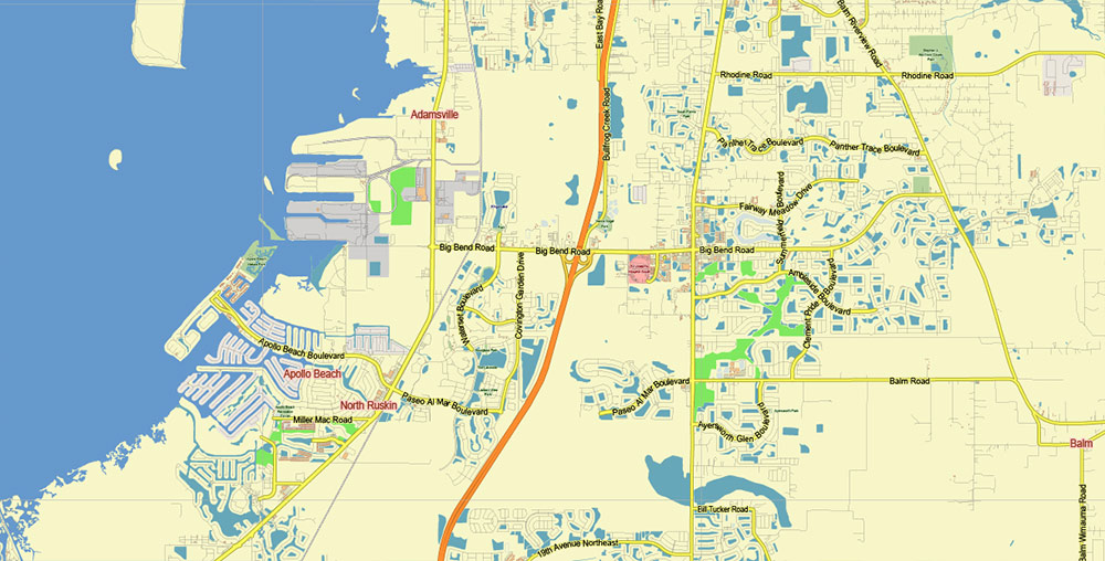
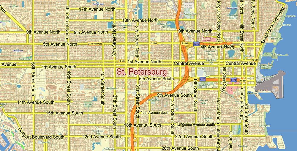
Tampa Bay Florida US Map Vector City Plan Low Detailed (for small print size) Street Map editable Adobe Illustrator in layer
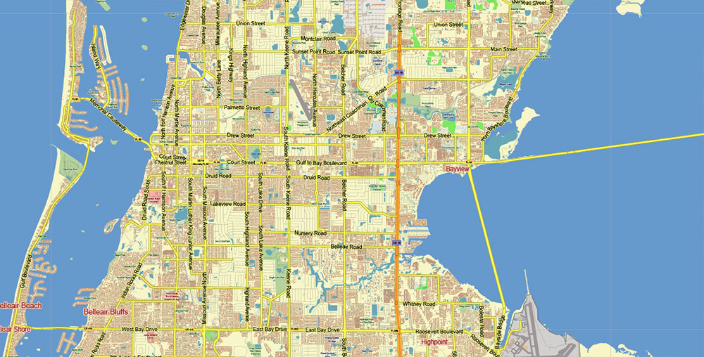
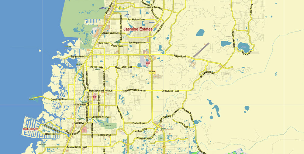
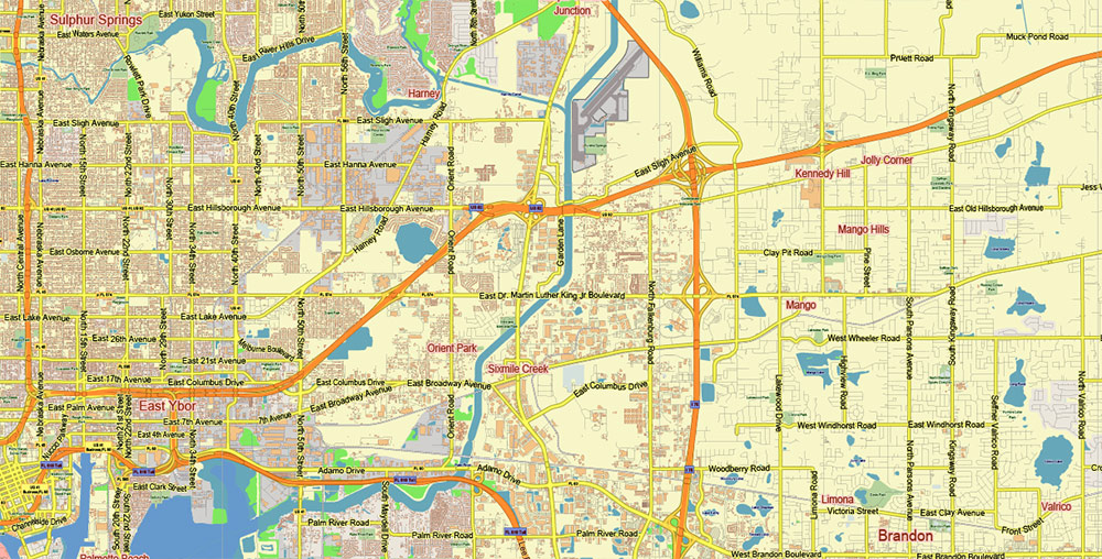
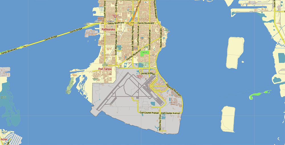
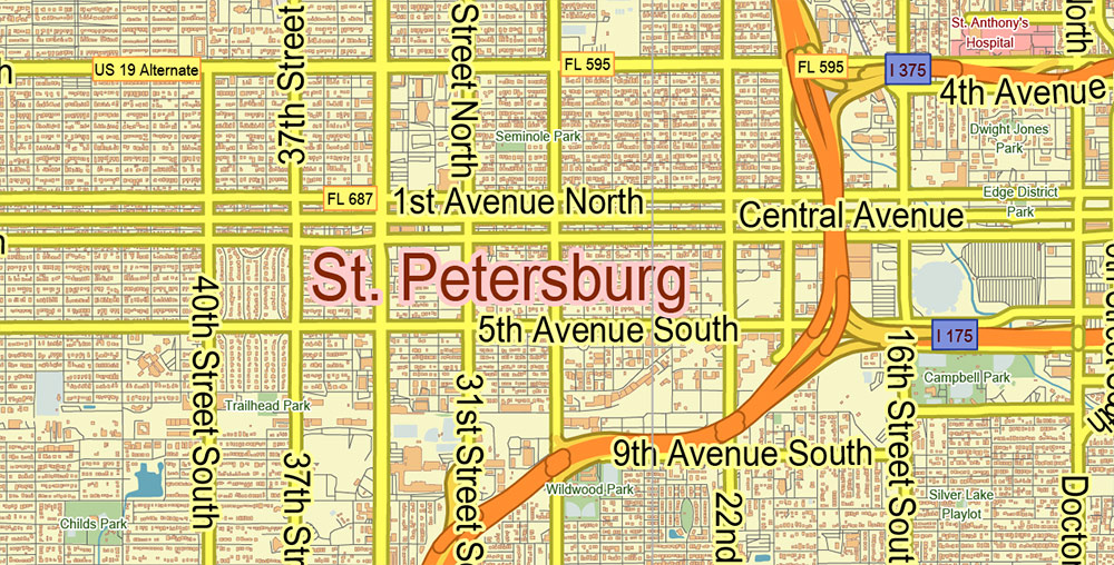
Tampa Bay Florida US Map Vector City Plan Low Detailed (for small print size) Street Map editable Adobe Illustrator in layer
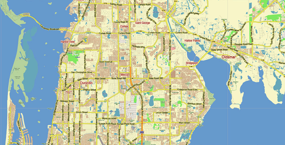
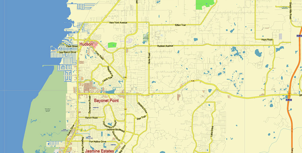
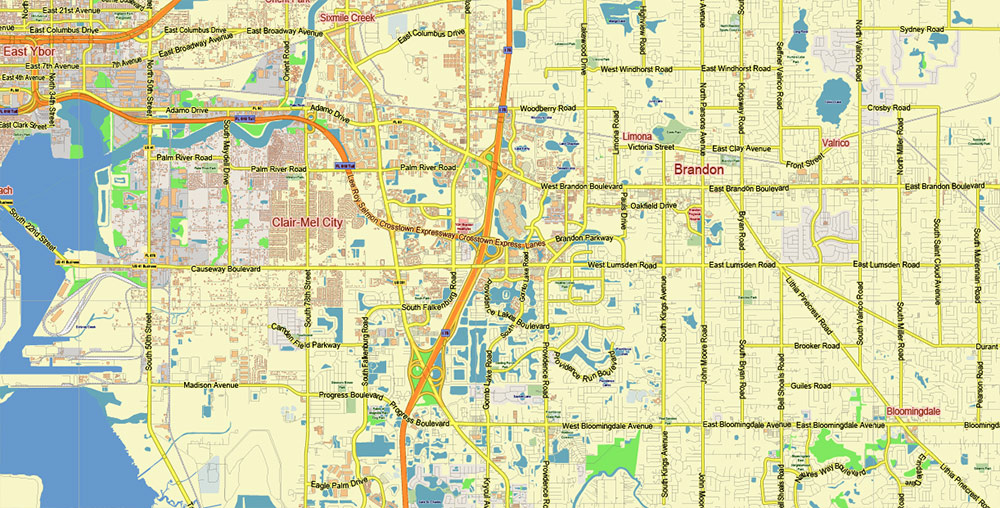
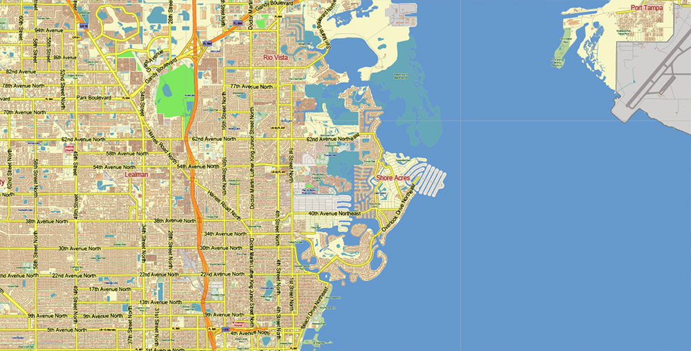
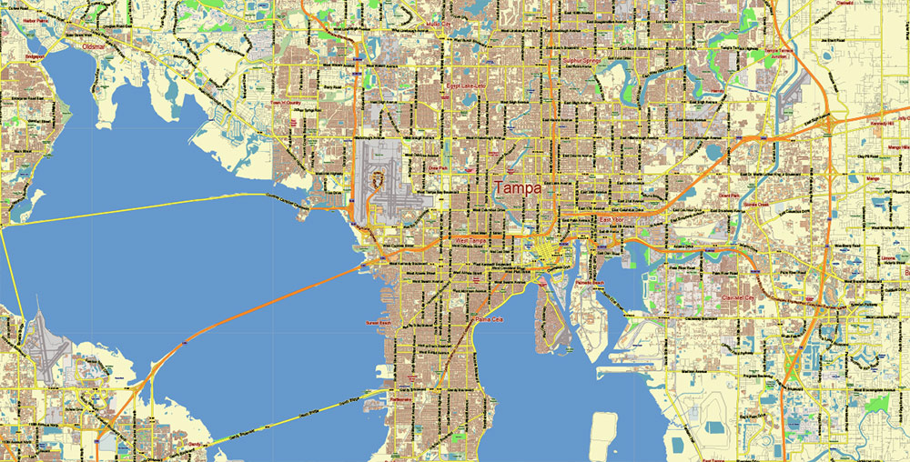
Tampa Bay Florida US Map Vector City Plan Low Detailed (for small print size) Street Map editable Adobe Illustrator in layer
Tampa Bay Florida US Map Vector City Plan Low Detailed (for small print size) Street Map editable Adobe Illustrator in layer
Tampa Bay Florida US Map Vector City Plan Low Detailed (for small print size) Street Map editable Adobe Illustrator in layer
Tampa Bay Florida US Map Vector City Plan Low Detailed (for small print size) Street Map editable Adobe Illustrator in layer
Tampa Bay Florida US Map Vector City Plan Low Detailed (for small print size) Street Map editable Adobe Illustrator in layer
Tampa Bay Florida US Map Vector City Plan Low Detailed (for small print size) Street Map editable Adobe Illustrator in layer
Tampa Bay Florida US Map Vector City Plan Low Detailed (for small print size) Street Map editable Adobe Illustrator in layer
Tampa Bay Florida US Map Vector City Plan Low Detailed (for small print size) Street Map editable Adobe Illustrator in layer
Tampa Bay Florida US Map Vector City Plan Low Detailed (for small print size) Street Map editable Adobe Illustrator in layer
Tampa Bay Florida US Map Vector City Plan Low Detailed (for small print size) Street Map editable Adobe Illustrator in layer
Tampa Bay Florida US Map Vector City Plan Low Detailed (for small print size) Street Map editable Adobe Illustrator in layer
Tampa Bay Florida US Map Vector City Plan Low Detailed (for small print size) Street Map editable Adobe Illustrator in layer
Tampa Bay Florida US Map Vector City Plan Low Detailed (for small print size) Street Map editable Adobe Illustrator in layer
Tampa Bay Florida US Map Vector City Plan Low Detailed (for small print size) Street Map editable Adobe Illustrator in layer
Tampa Bay Florida US Map Vector City Plan Low Detailed (for small print size) Street Map editable Adobe Illustrator in layer
Tampa Bay Florida US Map Vector City Plan Low Detailed (for small print size) Street Map editable Adobe Illustrator in layer
Tampa Bay Florida US Map Vector City Plan Low Detailed (for small print size) Street Map editable Adobe Illustrator in layer
Tampa Bay Florida US Map Vector City Plan Low Detailed (for small print size) Street Map editable Adobe Illustrator in layer
Tampa Bay Florida US Map Vector City Plan Low Detailed (for small print size) Street Map editable Adobe Illustrator in layer
Tampa Bay Florida US Map Vector City Plan Low Detailed (for small print size) Street Map editable Adobe Illustrator in layer
Tampa Bay Florida US Map Vector City Plan Low Detailed (for small print size) Street Map editable Adobe Illustrator in layer
Tampa Bay Florida US Map Vector City Plan Low Detailed (for small print size) Street Map editable Adobe Illustrator in layer
Tampa Bay Florida US Map Vector City Plan Low Detailed (for small print size) Street Map editable Adobe Illustrator in layer
Tampa Bay Florida US Map Vector City Plan Low Detailed (for small print size) Street Map editable Adobe Illustrator in layer
Tampa Bay Florida US Map Vector City Plan Low Detailed (for small print size) Street Map editable Adobe Illustrator in layer
Tampa Bay Florida US Map Vector City Plan Low Detailed (for small print size) Street Map editable Adobe Illustrator in layer

 Author: Kirill Shrayber, Ph.D. FRGS


