Extended Description of the Vector Map
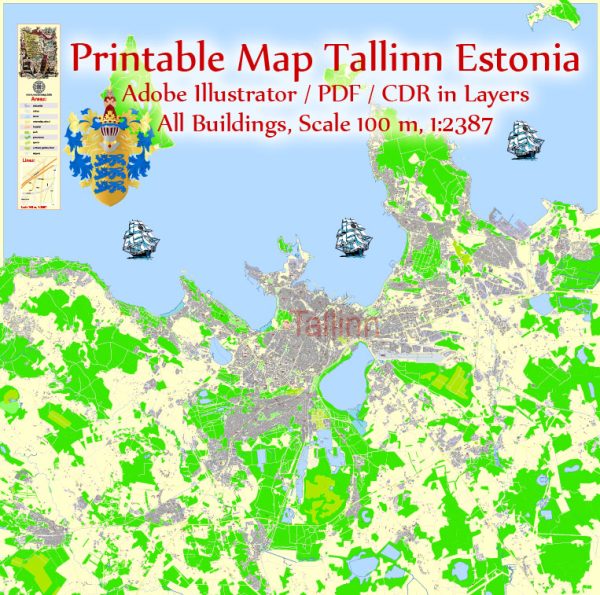
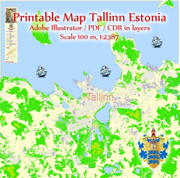
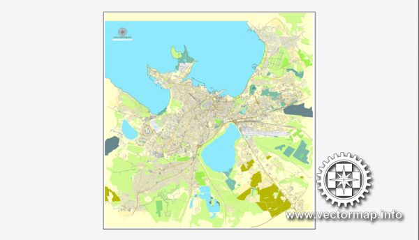
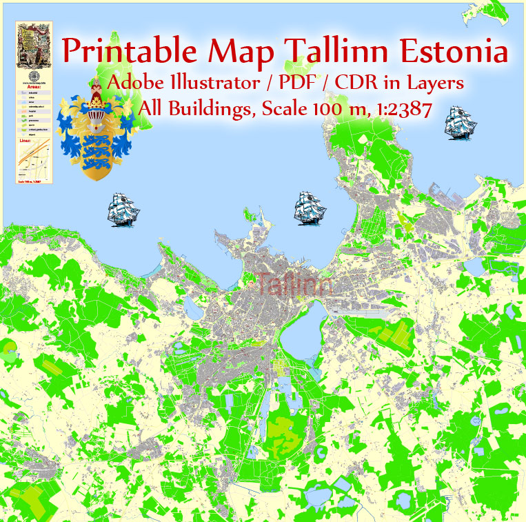
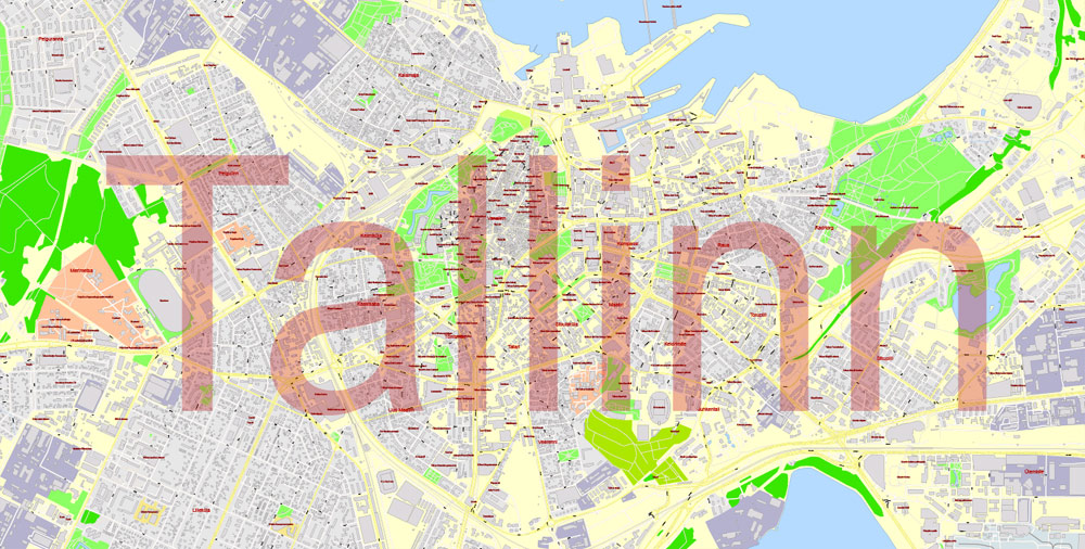
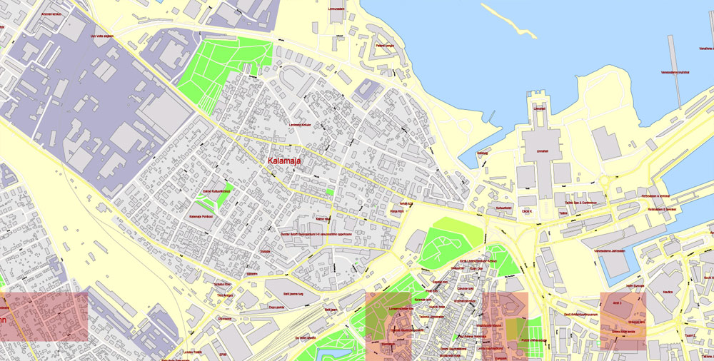
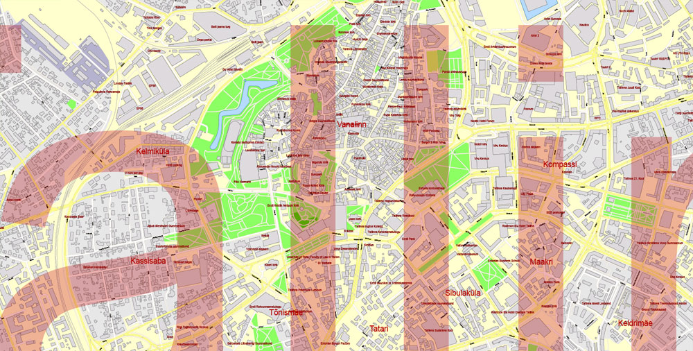
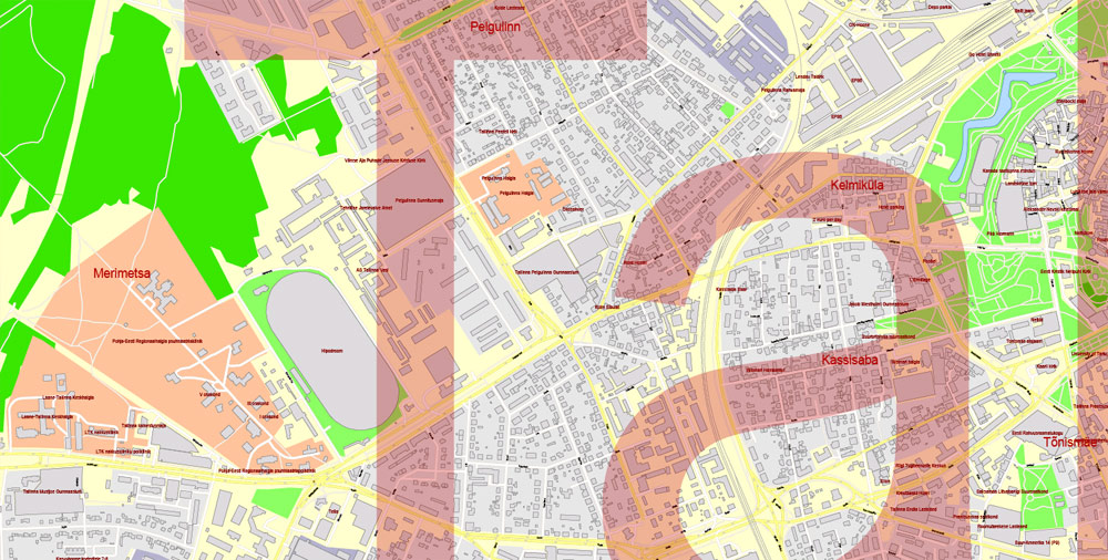
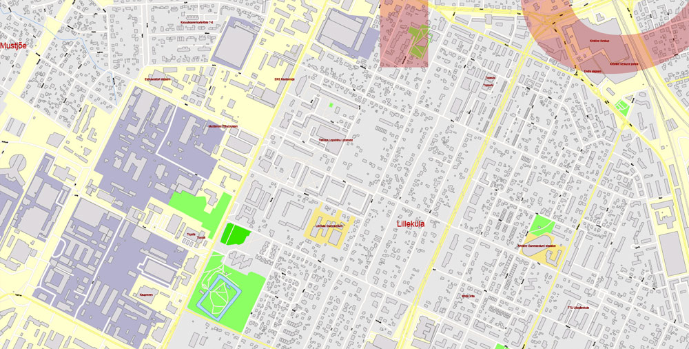
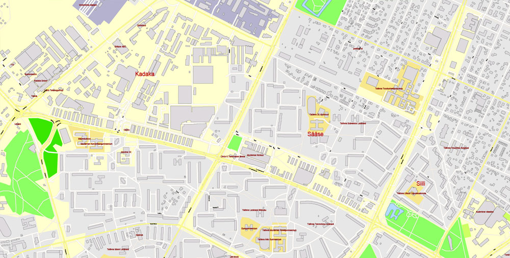
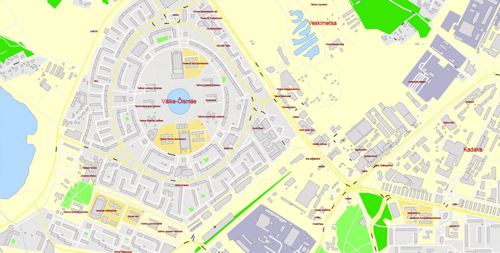
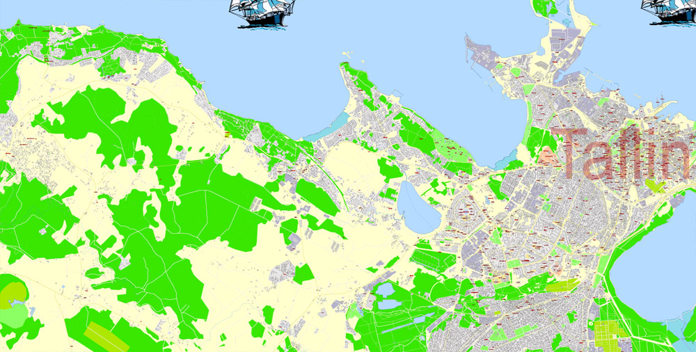
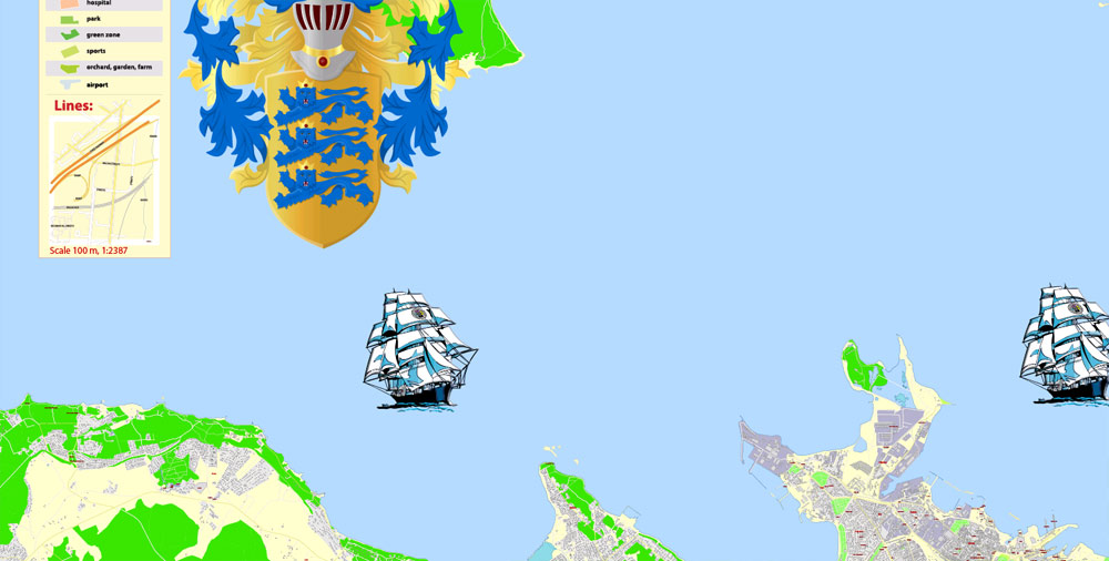
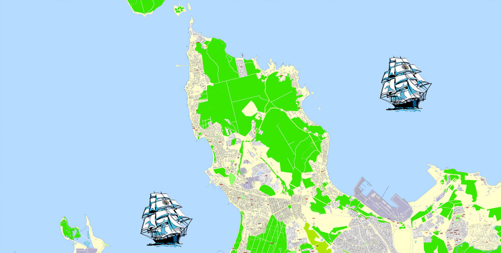
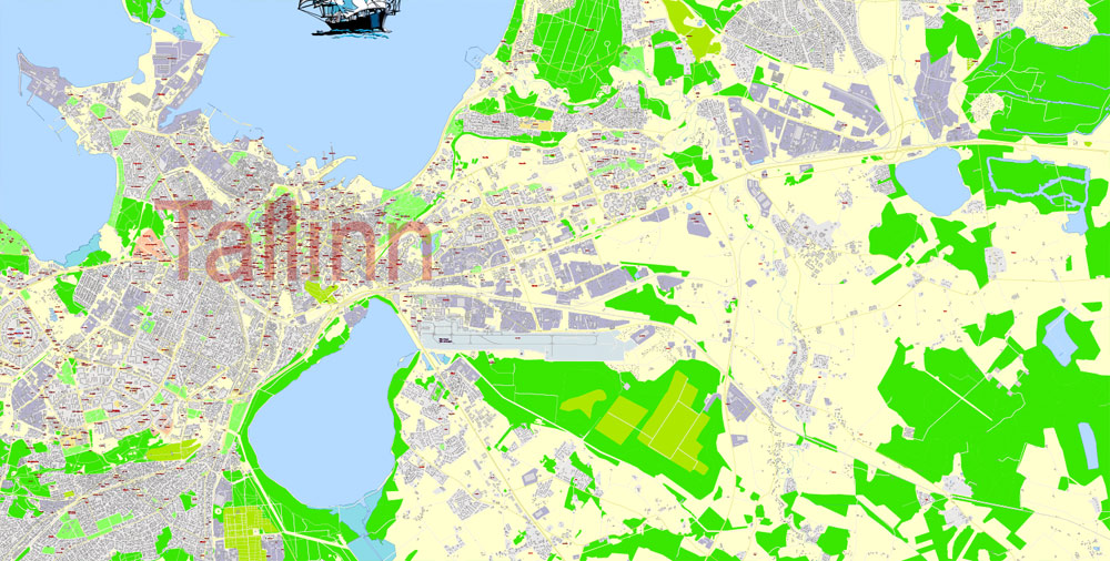
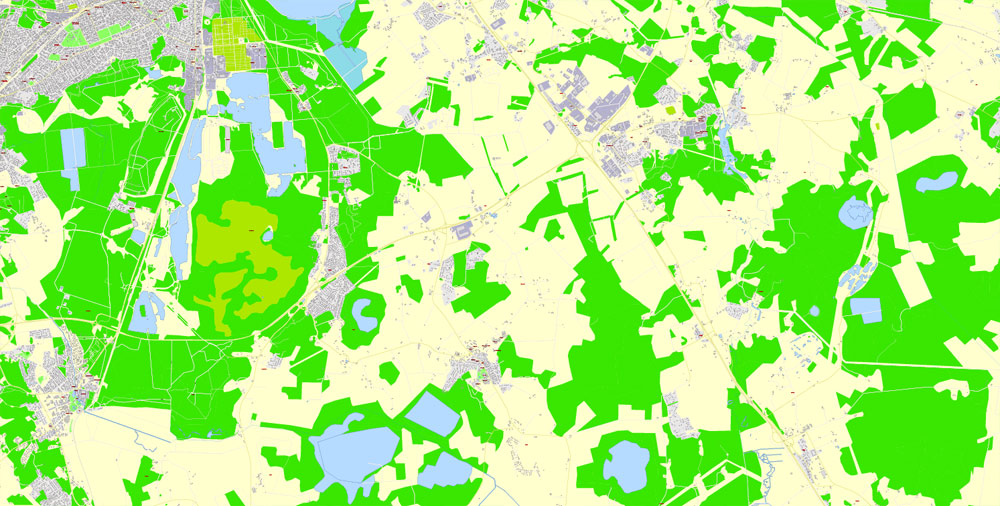
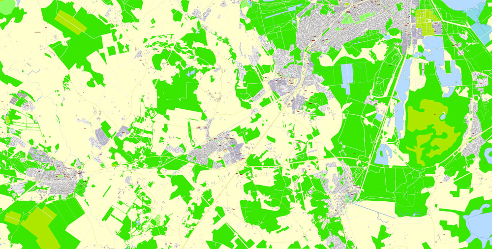
Printable Vector PDF Map Tallinn Metro Area Estonia, exact detailed City Plan all Buildings, 100 meters scale map 1:2387, editable Layered Adobe PDF, 41 Mb ZIP.
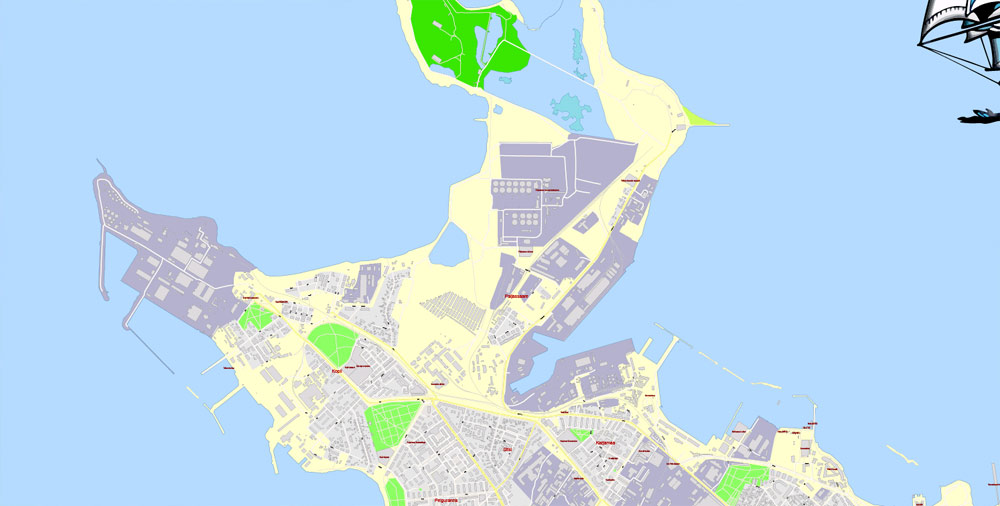
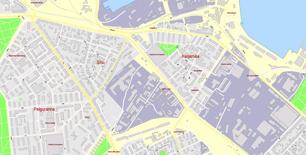
All streets named, main objects, all Buildings. Map for publishing, design, printing, publications, arts, projects, presentations, for architects, designers and builders, business, logistics. The most exact and detailed map of the city.
Layers: legend, grids, labels_roads, names_places, names_streets, names_objects, objects, arrows_streets, streets_roads, color_fills, etc.
Text format all names, all Buildings
DWG, DXF, CDR, ESRI Shapes, and other formats – by request, same price, please contact.
Tallinn
Capital of Estonia
Tallinn, Estonia’s capital on the Baltic Sea, is the country’s cultural hub. It retains its walled, cobblestoned Old Town, home to cafes and shops, as well as Kiek in de Kök, a 15th-century defensive tower. Its Gothic Town Hall, built in the 13th century and with a 64m-high tower, sits in historic Tallinn’s main square. St. Nicholas Church is a 13th-century landmark exhibiting ecclesiastical art.
Area
• City 159.2 km2 (61.5 sq mi)Elevation 9 m (30 ft)
Population
• City 449,160
• Rank 1st in Estonia
• Density 2,800/km2 (7,300/sq mi)
• Metro 602,409
Free vector maps:
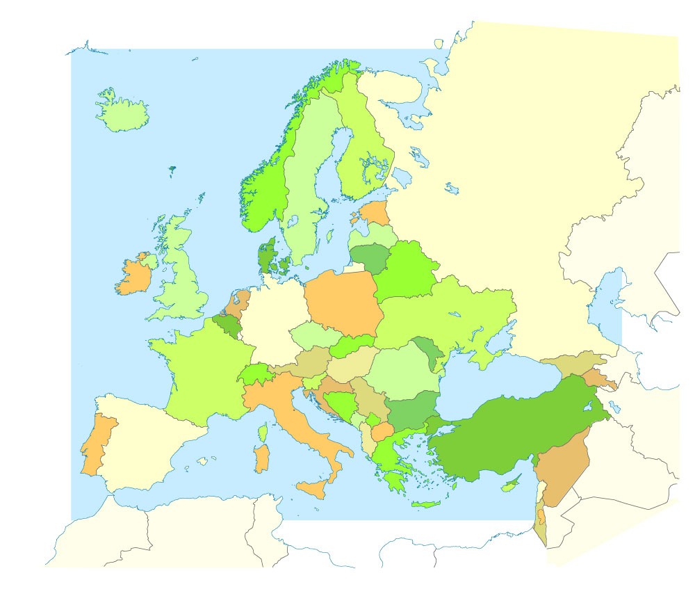
Free download printable map Europe vector Adobe Illustrator >>>
Free download printable PDF map Europe vector Adobe PDF >>>
Author Rating
Aggregate Rating
no rating based on 0 votes
@vectormapper
Product Name Tallinn PDF Map Metro Area Estonia Printable Vector exact extra detailed City Plan all Buildings editable Layered Adobe PDF
Price
USD 57
Product Availability
Available in Stock



 Author: Kirill Shrayber, Ph.D. FRGS