Extended Description of the Vector Map
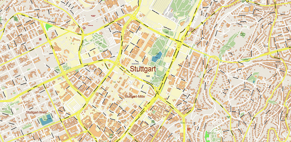
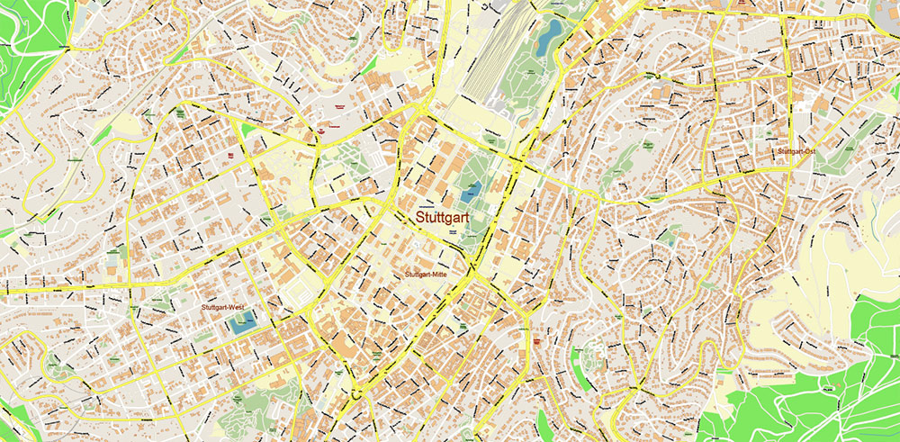
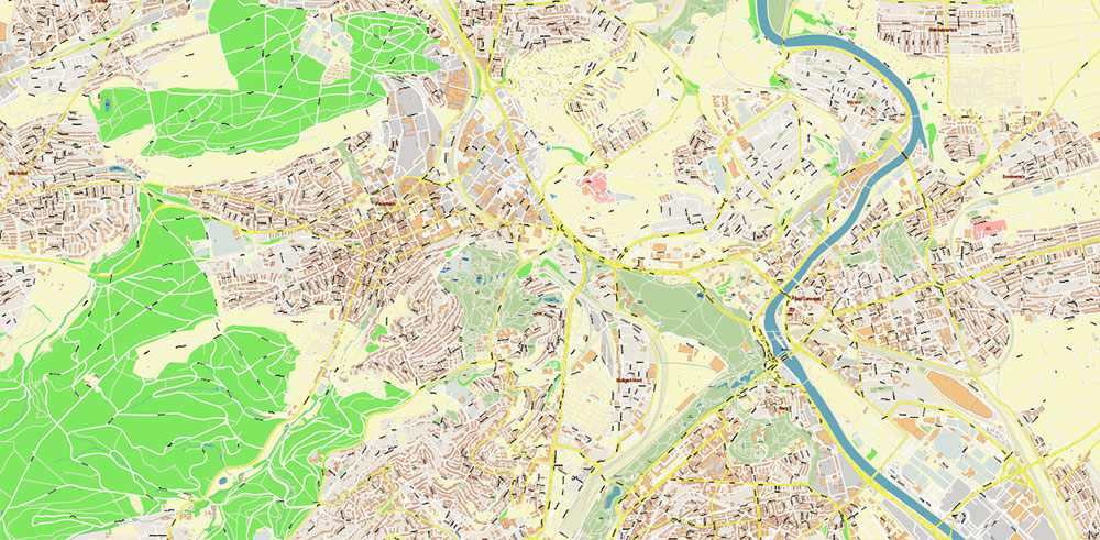
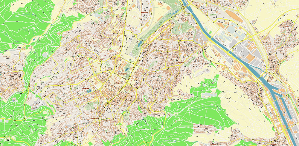
Stuttgart is the capital of the southwestern German state of Baden-Württemberg. The city is considered the manufacturing center of the country. Here are the headquarters and museums of Mercedes-Benz and Porsche. Stuttgart has a lot of green areas, especially around the center. The most popular parks are Rosenstein, Schlossgarten and Killesberg. To the northeast of the Rosenstein Palace is “Wilhelm”, one of the largest zoos and botanical gardens in Europe.
Area: 207.4 km²
Altitude above sea level: 245 m
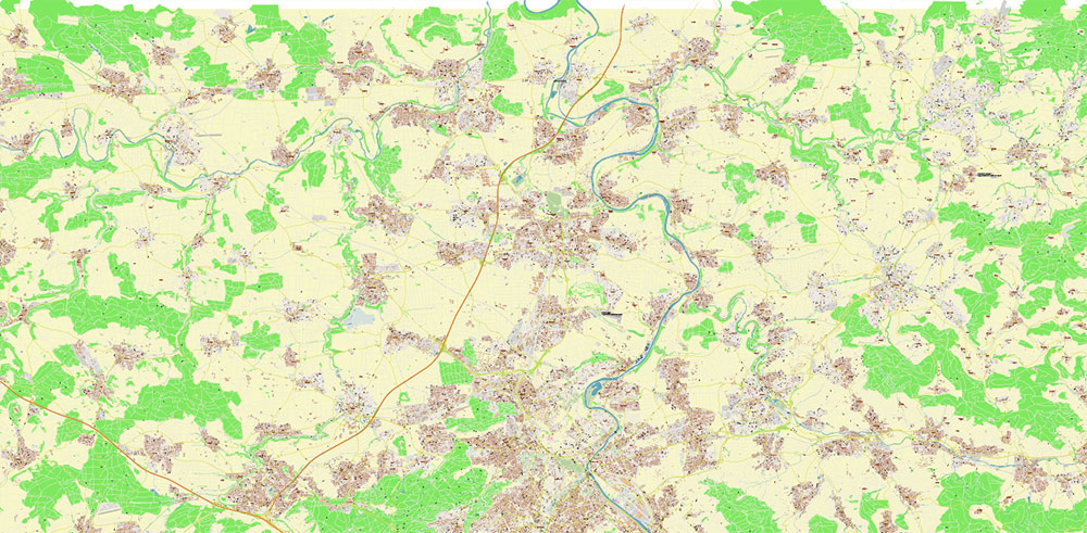
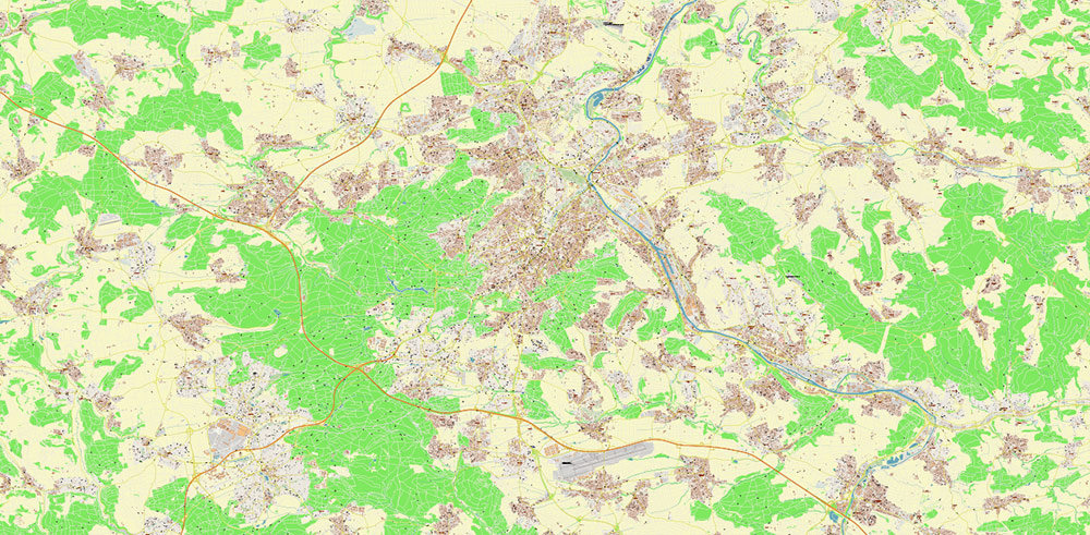
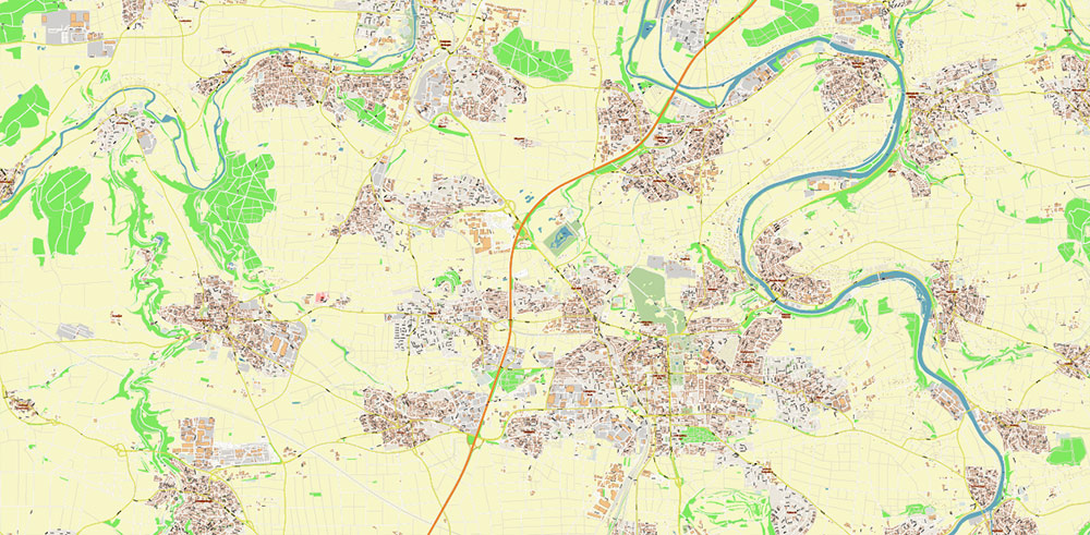
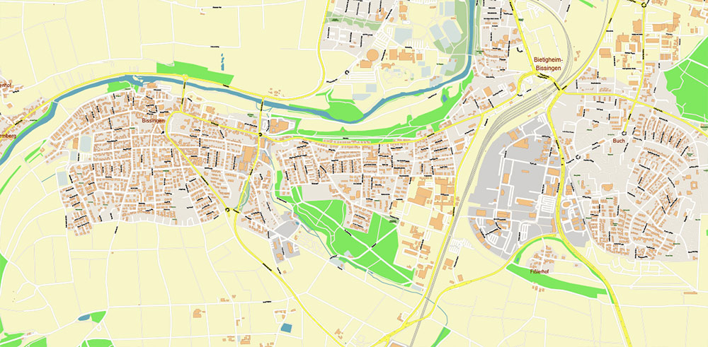
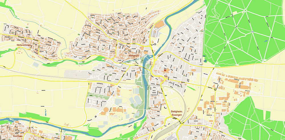
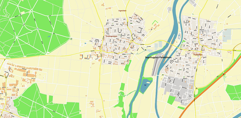
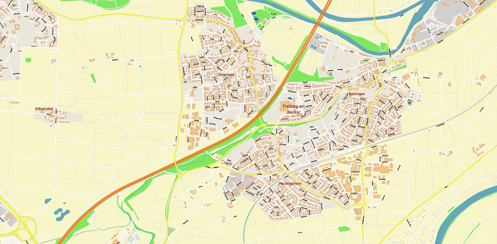
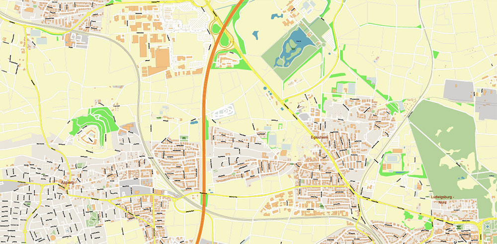
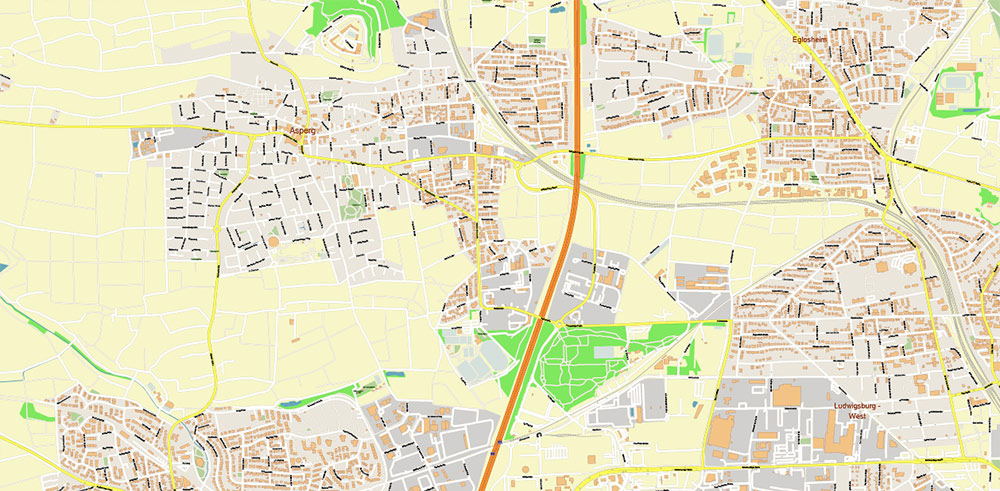
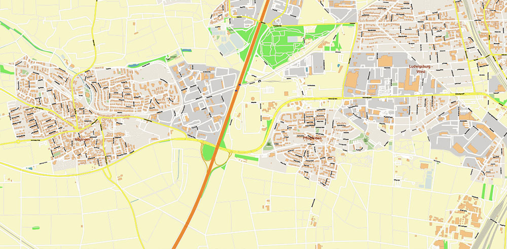
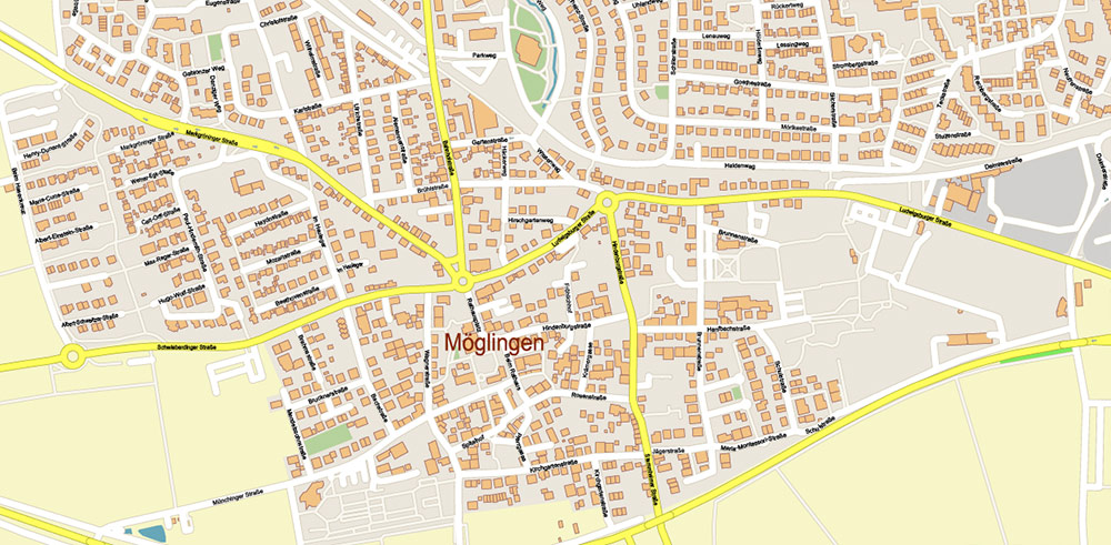
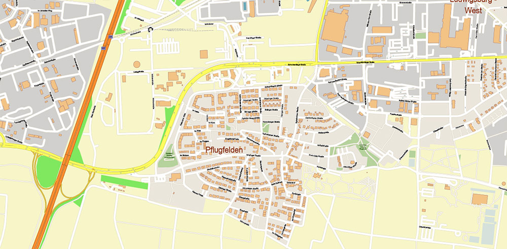
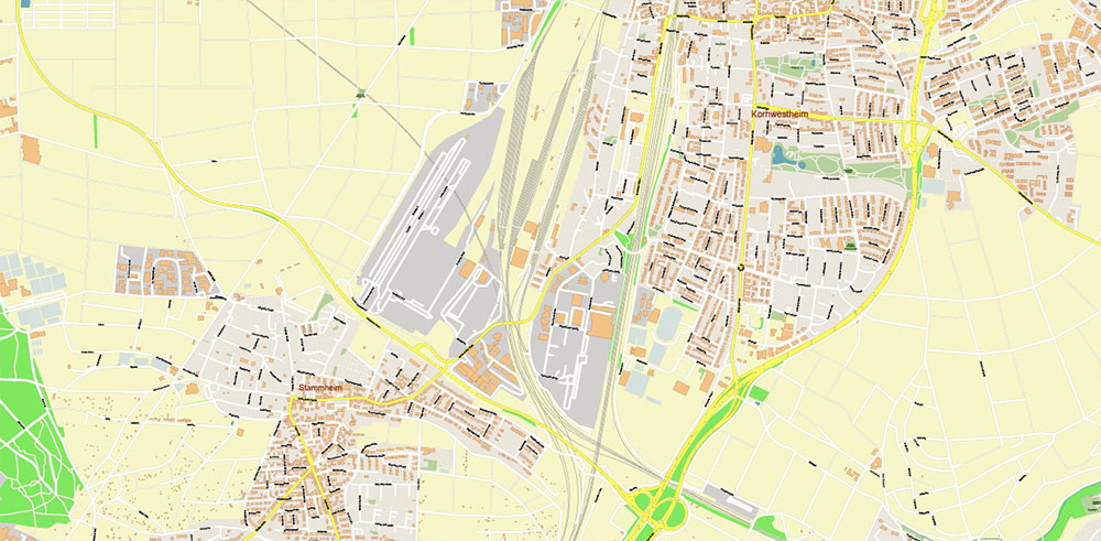
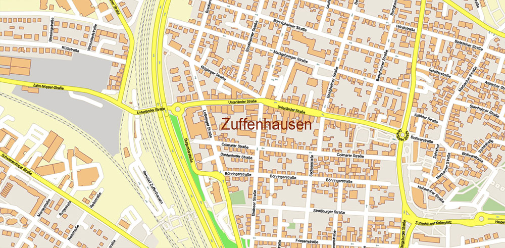
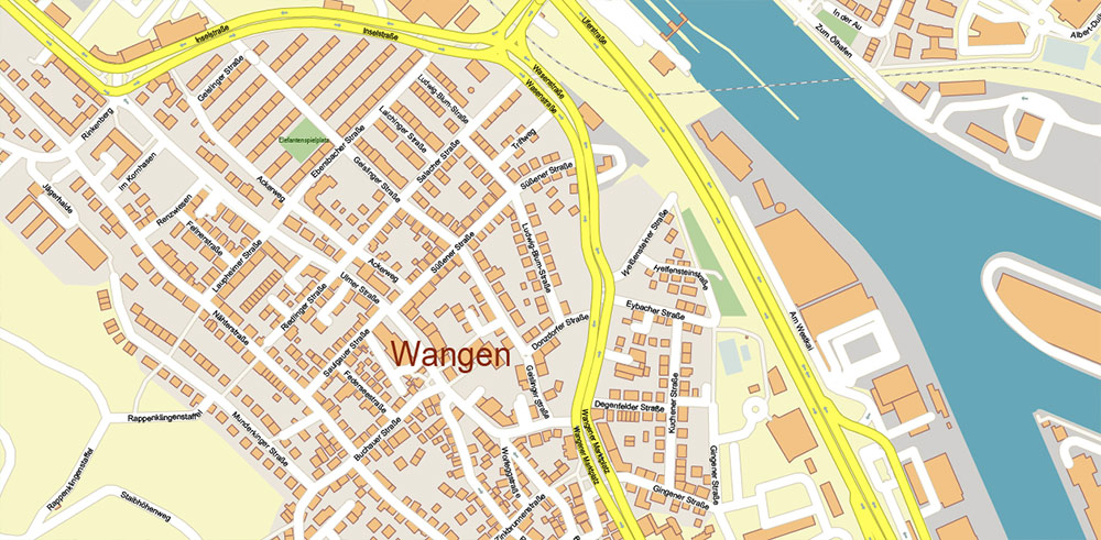
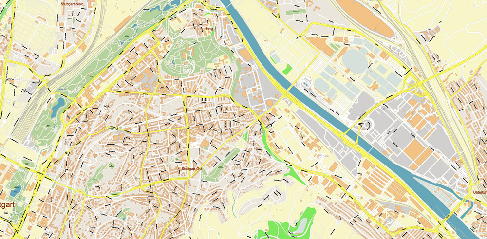
Stuttgart Germany Map Vector City Plan High Detailed Street Map editable Adobe Illustrator in layers
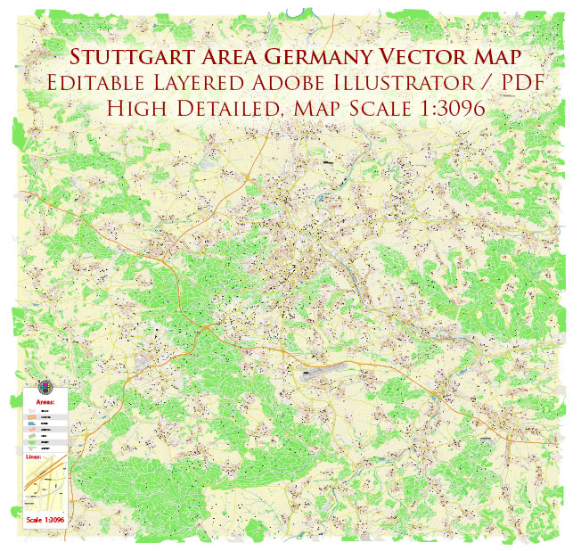
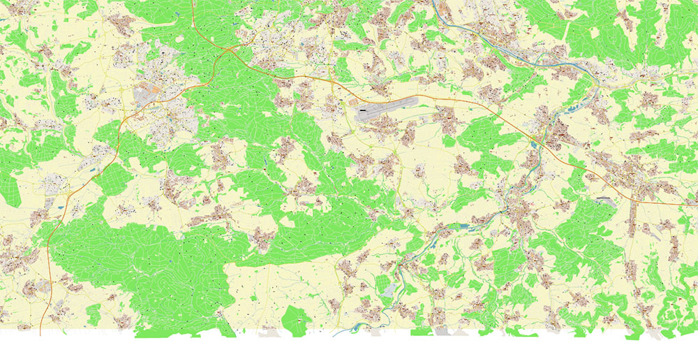
Printable Vector Map of Stuttgart Germany High Detailed City Plan scale 1:3096 full editable Adobe Illustrator Street Map in layers, scalable, text/curves format all names, 76 MB ZIP
All street names, Main Objects, Buildings. Map for design, printing, arts, projects, presentations, for architects, designers, and builders, business, logistics.
Also: We can add (additional layer for this map), any other objects for you. It’s free for our customers.
Also: We can add the RELIEF (Topo Isolines or shaded relief)
If you need any OTHER format – DWG, DXF, Corel, or something else – please, email us

Stuttgart Germany Map Vector City Plan High Detailed Street Map editable Adobe Illustrator in layers
Druckbare Vektorkarte von Stuttgart, Deutschland, hochdetaillierter Stadtplan, Maßstab 1:3096, voll editierbarer Adobe Illustrator, Straßenkarte in Ebenen, skalierbar, Text-/Kurvenformat, alle Namen, 76 MB ZIP
Alle Straßennamen, Hauptobjekte, Gebäude. Karte für Design, Druck, Kunst, Projekte, Präsentationen, für Architekten, Designer und Bauherren, Wirtschaft, Logistik.
Außerdem: Wir können (zusätzliche Ebene für diese Karte) beliebige andere Objekte für Sie hinzufügen. Für unsere Kunden ist es kostenlos.
Außerdem: Wir können das RELIEF hinzufügen (Topo Isolines oder schattiertes Relief)
Stuttgart Germany Map Vector City Plan High Detailed Street Map editable Adobe Illustrator in layers
Layers list:
- Legend
- Grids
- Labels of roads
- Names of places (city, hamlet, etc.)
- Names of objects (hospitals, parks, water)
- Names of main streets
- Names of residential streets
- Arrows of street directions
- Main Streets, roads
- Residential streets
- Railroads
- Buildings
- Waterways
- Water objects (rivers, lakes, ponds, marshes)
- Airports and Heliports
- Color fills (parks, hospital areas, land use, etc.)
- Background
Stuttgart Germany Map Vector City Plan High Detailed Street Map editable Adobe Illustrator in layers
Stuttgart Germany Map Vector City Plan High Detailed Street Map editable Adobe Illustrator in layers
Stuttgart Germany Map Vector City Plan High Detailed Street Map editable Adobe Illustrator in layers
Stuttgart Germany Map Vector City Plan High Detailed Street Map editable Adobe Illustrator in layers
Stuttgart Germany Map Vector City Plan High Detailed Street Map editable Adobe Illustrator in layers
Stuttgart Germany Map Vector City Plan High Detailed Street Map editable Adobe Illustrator in layers
Stuttgart Germany Map Vector City Plan High Detailed Street Map editable Adobe Illustrator in layers
Stuttgart Germany Map Vector City Plan High Detailed Street Map editable Adobe Illustrator in layers
Stuttgart Germany Map Vector City Plan High Detailed Street Map editable Adobe Illustrator in layers
Stuttgart Germany Map Vector City Plan High Detailed Street Map editable Adobe Illustrator in layers
Stuttgart Germany Map Vector City Plan High Detailed Street Map editable Adobe Illustrator in layers
Stuttgart Germany Map Vector City Plan High Detailed Street Map editable Adobe Illustrator in layers
Stuttgart Germany Map Vector City Plan High Detailed Street Map editable Adobe Illustrator in layers
Stuttgart Germany Map Vector City Plan High Detailed Street Map editable Adobe Illustrator in layers

Stuttgart Germany Map Vector City Plan High Detailed Street Map editable Adobe Illustrator in layers
Stuttgart Germany Map Vector City Plan High Detailed Street Map editable Adobe Illustrator in layers

Stuttgart Germany Map Vector City Plan High Detailed Street Map editable Adobe Illustrator in layers
Stuttgart Germany Map Vector City Plan High Detailed Street Map editable Adobe Illustrator in layers
Stuttgart Germany Map Vector City Plan High Detailed Street Map editable Adobe Illustrator in layers
Stuttgart Germany Map Vector City Plan High Detailed Street Map editable Adobe Illustrator in layers
Stuttgart Germany Map Vector City Plan High Detailed Street Map editable Adobe Illustrator in layers
Stuttgart Germany Map Vector City Plan High Detailed Street Map editable Adobe Illustrator in layers

 Author: Kirill Shrayber, Ph.D. FRGS
