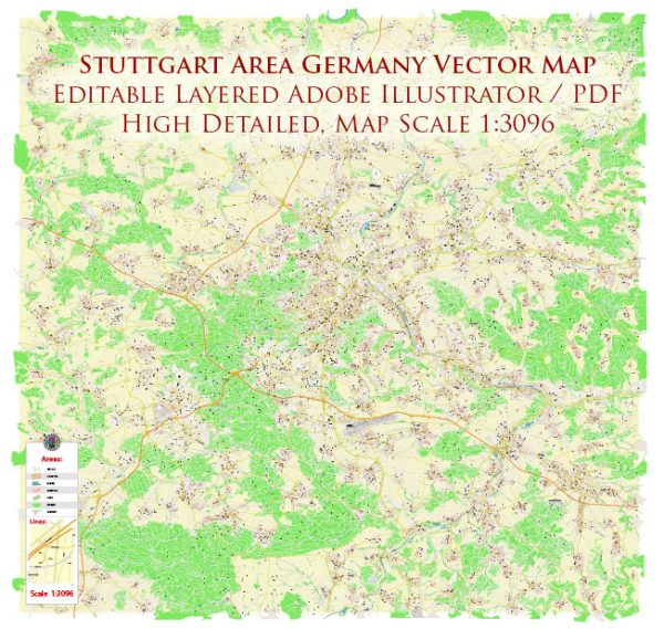
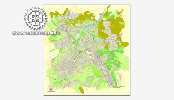
Stuttgart, located in the southwestern part of Germany, is the capital and largest city of the state of Baden-Württemberg. It is known for its rich cultural heritage, automotive industry, and beautiful landscapes. The city is divided into various districts and neighborhoods, each with its own unique character.
Vectormap.Net provide you with the most accurate and up-to-date vector maps in Adobe Illustrator, PDF and other formats, designed for editing and printing. Please read the vector map descriptions carefully.
Here is a brief overview of some of the main districts, communities, and streets in Stuttgart:
- City Center (Stuttgart-Mitte):
- Schlossplatz: The central square of Stuttgart, surrounded by historical buildings and landmarks, including the New Palace (Neues Schloss).
- Königstraße: A bustling shopping street and one of the longest pedestrian zones in Europe, featuring a wide range of shops, restaurants, and cafes.
- Stuttgart-West:
- Stuttgart-Heusteigviertel: A residential area known for its charming architecture, green spaces, and proximity to the city center.
- Feuersee: A picturesque lake surrounded by parks, providing a tranquil escape in the midst of the city.
- Stuttgart-Nord:
- Milaneo: One of the largest shopping malls in Stuttgart, offering a variety of retail shops, dining options, and entertainment.
- Killesberg Park: A large park with gardens, a lake, and the iconic Killesberg Tower, providing panoramic views of the city.
- Stuttgart-Ost:
- Marienplatz: A lively square with a farmers’ market and various shops, cafes, and restaurants.
- Wilhelma: A zoological-botanical garden with a historic palace, home to a wide variety of animals and plants.
- Stuttgart-Süd:
- Heslach: A diverse neighborhood with a mix of residential and commercial areas, known for its cultural events and festivals.
- Rosensteinpark: A large park with walking trails and green spaces, adjacent to the Rosenstein Palace.
- Stuttgart-Bad Cannstatt:
- Mercedes-Benz Arena: A major sports and entertainment venue, hosting concerts, sports events, and more.
- Wilhelmsplatz: A central square in Bad Cannstatt with markets and cultural events.
- Vaihingen:
- Universität Stuttgart: The main campus of the University of Stuttgart, contributing to the vibrant and dynamic atmosphere of the district.
- Pfaffenwald: A residential area with parks and green spaces, providing a quieter environment.
These are just a few examples, and Stuttgart has many more districts and neighborhoods, each with its own charm and character. The city’s efficient public transportation system, including the S-Bahn and U-Bahn, makes it easy to explore the various parts of Stuttgart.


 Author: Kirill Shrayber, Ph.D.