Extended Description of the Vector Map
St. Gallen, in eastern Switzerland, is located on a hill near Lake Constance, 60 km east of Zurich. The elevation, by the way, is not so small: 700 m above sea level, so the city is considered one of the highest in the country.
In St. Gallen is the famous Monastery of St. Gall — a mighty architectural complex, seriously marked in the history of not only Switzerland but also the whole of Europe. Having once begun with the modest cell of the monk Gallus, it gradually grew into an early territorial principality, in fact – into a state with its own economy and its own set of rules. Today, the Cathedral of the monastery is a UNESCO cultural heritage monument, a vivid example of the late Baroque era.
The frescoes in the cathedral are by the brothers Johann and Mathias Gigl, the bas — reliefs are by Christian Wenzinger, and the paintings are by Josef Wannenmacher.
According to legend, somewhere in the eastern crypt of the monastery is hidden the grave of St. Gall, in the eastern (and this is no a legend, but a fact)-the ashes of St. Otmar and other bishops of St. Gallen rest. There is also an impressive ancient library on the territory of the monastery, with 150,000 volumes and 2,000 manuscripts on its shelves.
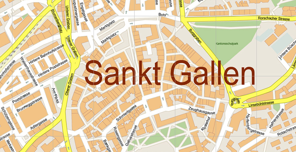
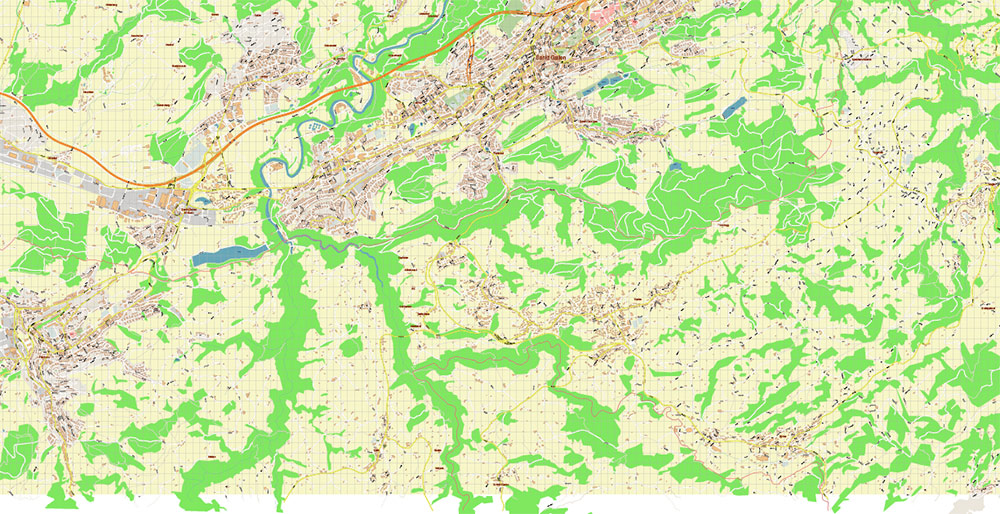
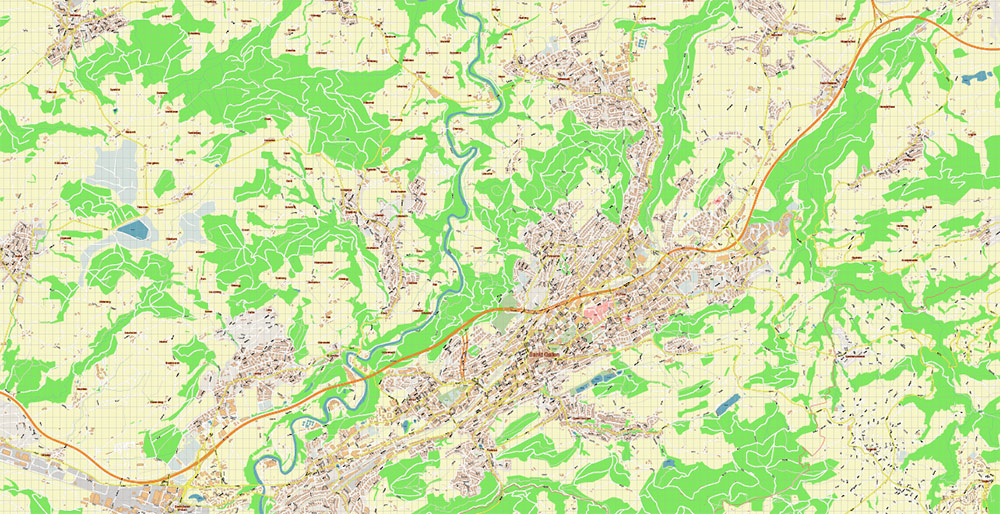
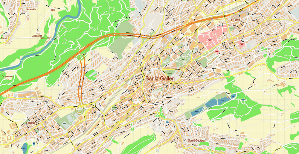
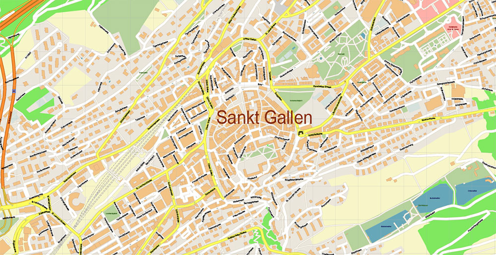
Printable Vector Map of St. Gallen Switzerland detailed City Plan scale 1:3178 full editable Adobe Illustrator Street Map in layers, scalable, text / curves format all names, 6 MB ZIP
All street names, Main Objects, Buildings. Map for design, printing, arts, projects, presentations, for architects, designers, and builders, business, logistics.
Need AutoCAD DWG / DXF or any other format? Please, contact us!
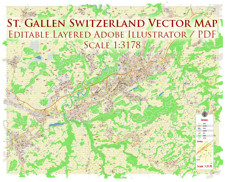
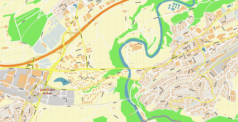
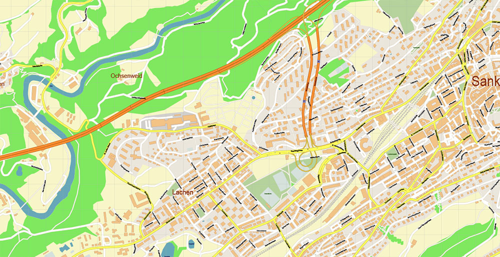
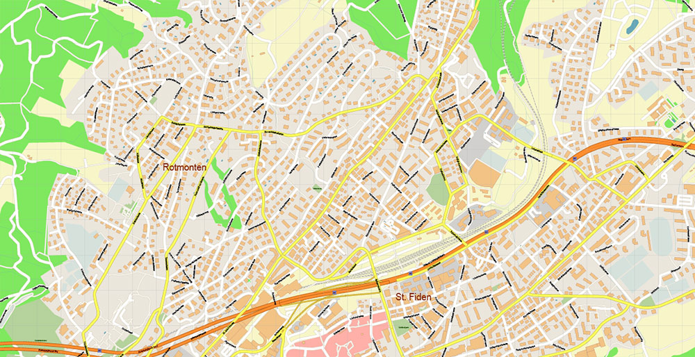
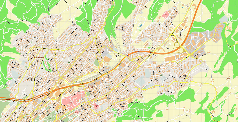
St. Gallen Switzerland Map Vector Accurate High Detailed City Plan editable Adobe Illustrator Street Map in layers
Layers list:
- Legend
- Grids
- Labels of roads
- Names of places (city, hamlet, etc.)
- Names of objects (hospitals, parks, water)
- Names of main streets
- Names of civil streets
- Arrows of street drive direction
- Main Streets, roads
- Civil streets
- Railroads
- Buildings
- Airports and heliports
- Water objects (rivers, lakes, ponds)
- Waterways
- Color fills (parks, hospital areas, land use, etc.)
- Background
St. Gallen Switzerland Map Vector Accurate High Detailed City Plan editable Adobe Illustrator Street Map in layers
St. Gallen Switzerland Map Vector Accurate High Detailed City Plan editable Adobe Illustrator Street Map in layers
St. Gallen Switzerland Map Vector Accurate High Detailed City Plan editable Adobe Illustrator Street Map in layers
St. Gallen Switzerland Map Vector Accurate High Detailed City Plan editable Adobe Illustrator Street Map in layers
St. Gallen Switzerland Map Vector Accurate High Detailed City Plan editable Adobe Illustrator Street Map in layers
St. Gallen Switzerland Map Vector Accurate High Detailed City Plan editable Adobe Illustrator Street Map in layers
St. Gallen Switzerland Map Vector Accurate High Detailed City Plan editable Adobe Illustrator Street Map in layers
St. Gallen Switzerland Map Vector Accurate High Detailed City Plan editable Adobe Illustrator Street Map in layers
St. Gallen Switzerland Map Vector Accurate High Detailed City Plan editable Adobe Illustrator Street Map in layers

 Author: Kirill Shrayber, Ph.D. FRGS
 Street Map editable Adobe Illustrator in layers")
