Extended Description of the Vector Map
Printable Vector Map of Springfield Area Massachusetts US High Detailed City Plan scale 1:3483 full editable Adobe Illustrator Street Map in layers, scalable, text/curves format all names, 42 MB ZIP
All street names, Main Objects, Buildings, Zipcodes (areas and numbers), counties areas. Map for design, printing, arts, projects, presentations, for architects, designers, and builders, business, logistics.
Also: We can add (additional layer for this map), any other objects for you. It’s free for our customers.
Also: We can add the RELIEF (Topo Isolines or shaded relief)
If you need any OTHER format – DWG, DXF, Corel, or something else – please, email us
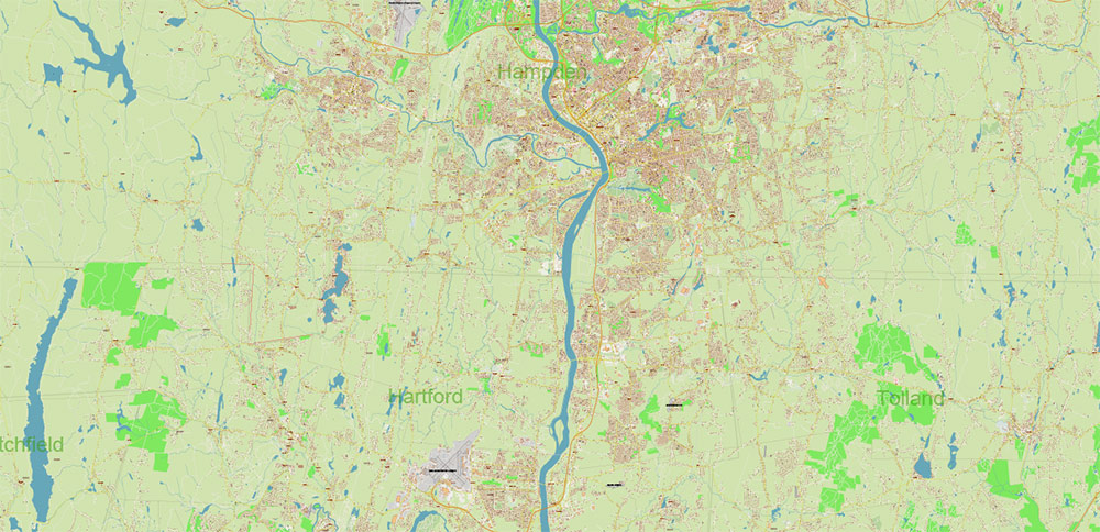
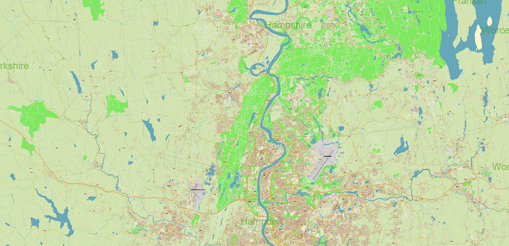
Map Coverage Area
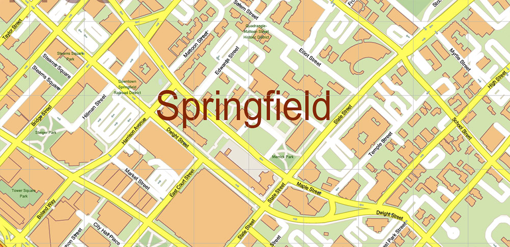
Layers list:
- Legend
- Grids
- Labels of roads
- Names of places (city, hamlet, etc.)
- Names of objects (hospitals, parks, water)
- Names of main streets
- Names of residential streets
- Numbers Zipcodes
- Names Counties
- Arrows of street directions
- Main Streets, roads
- Residential streets
- Railroads
- Buildings
- Waterways
- Water objects (rivers, lakes, ponds, marshes)
- Airports and Heliports
- Color fills (parks, hospital areas, land use, etc.)
- Zipcodes areas
- Counties Areas
- Background
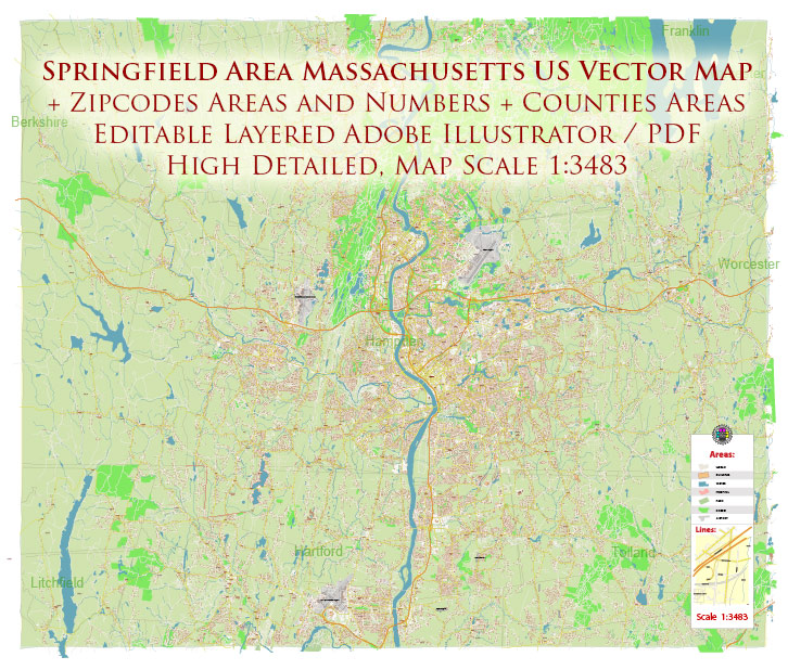
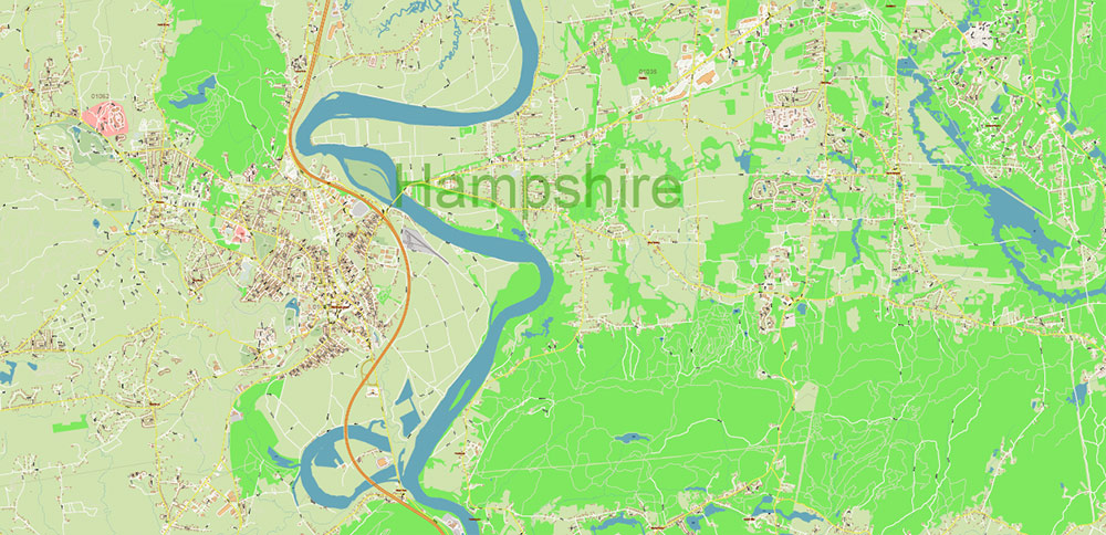
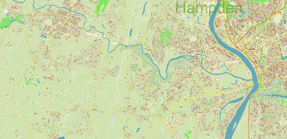
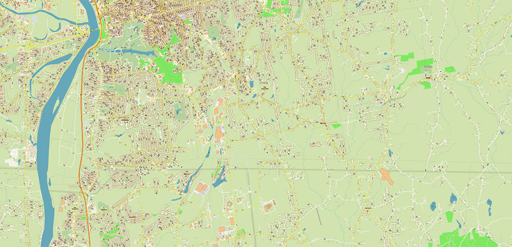
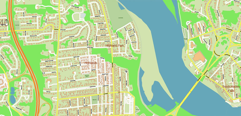
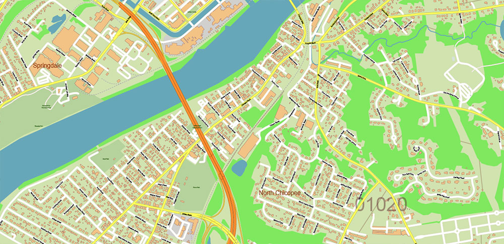
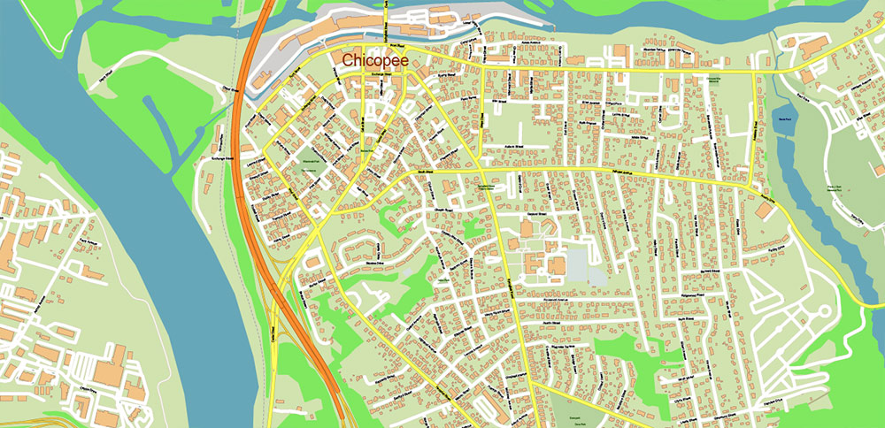
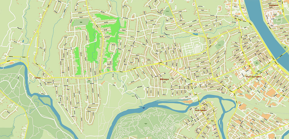
Springfield Area Massachusetts US Map Vector City Plan + Zipcodes High Detailed Street Map editable Adobe Illustrator in layers
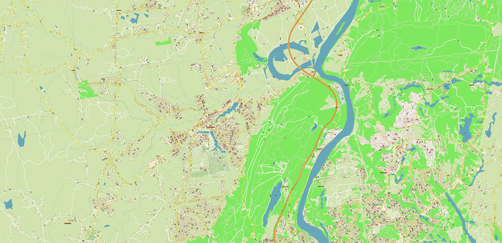
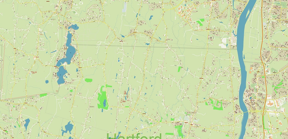
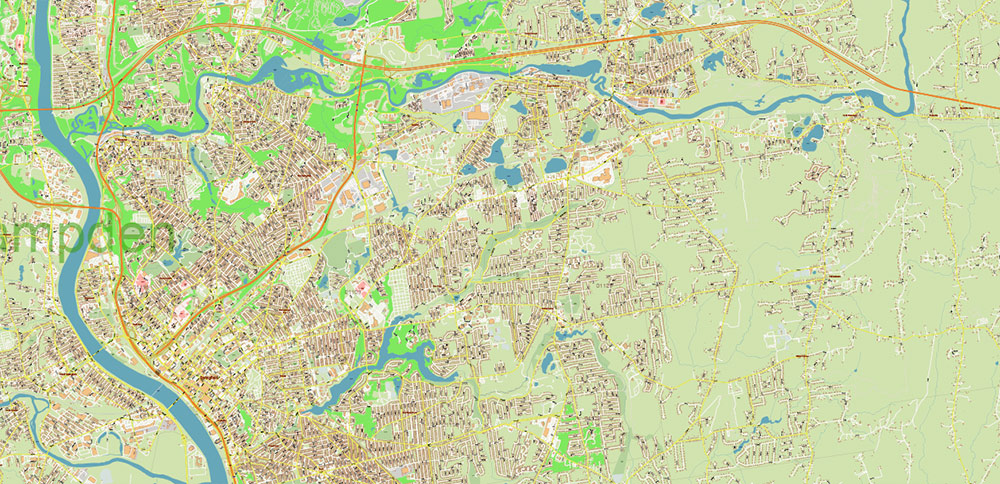
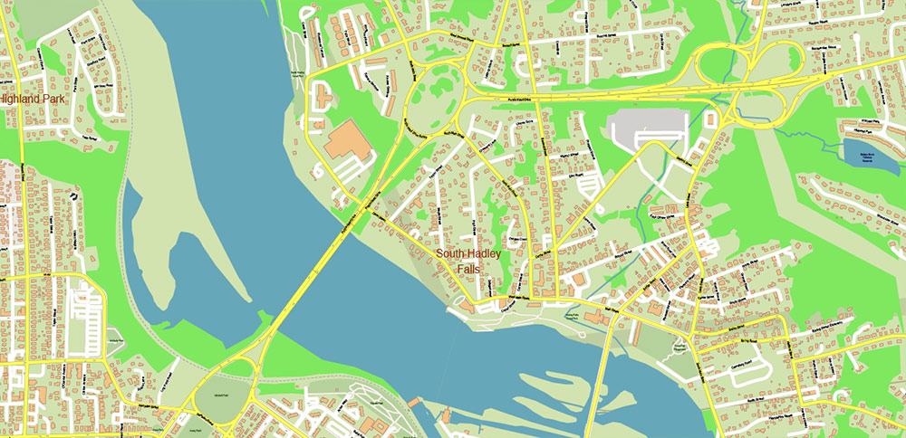
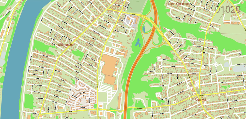
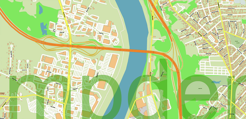
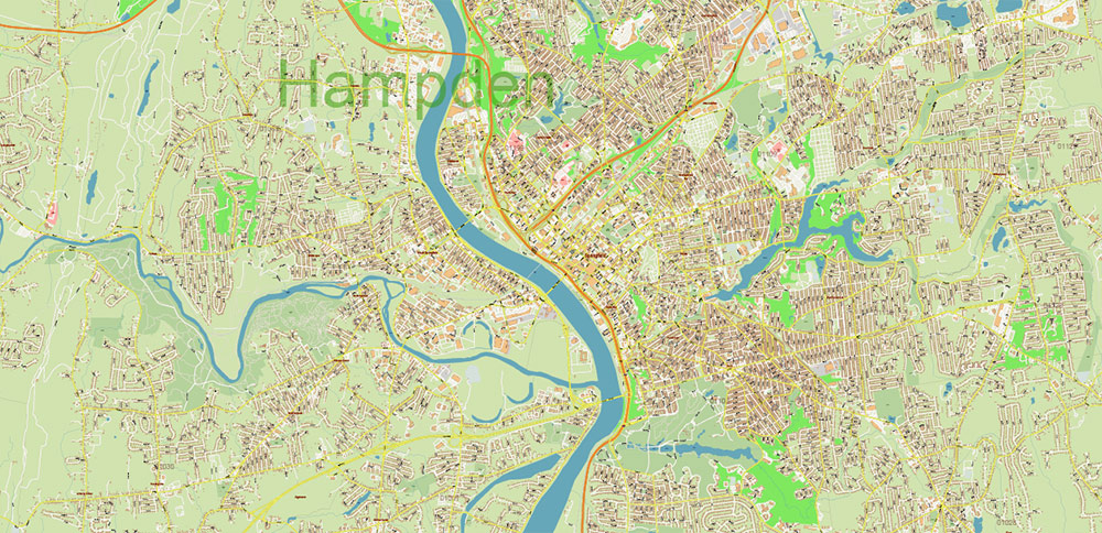
Springfield Area Massachusetts US Map Vector City Plan + Zipcodes High Detailed Street Map editable Adobe Illustrator in layers
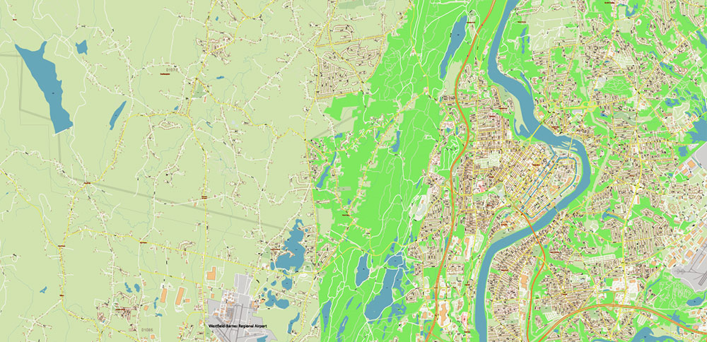
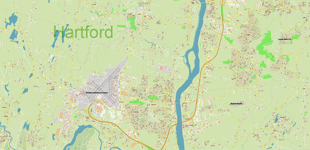
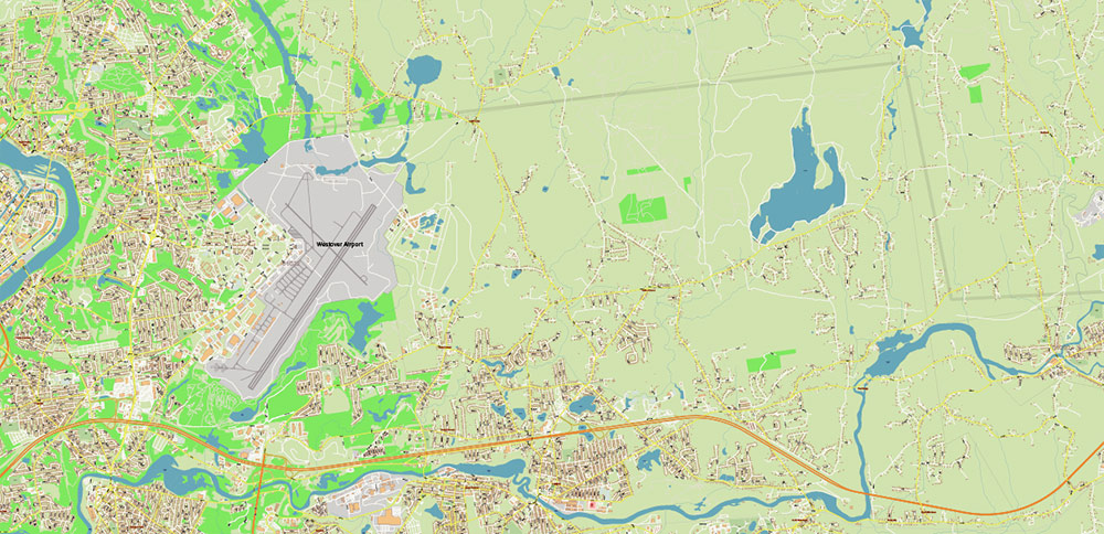
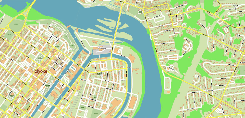
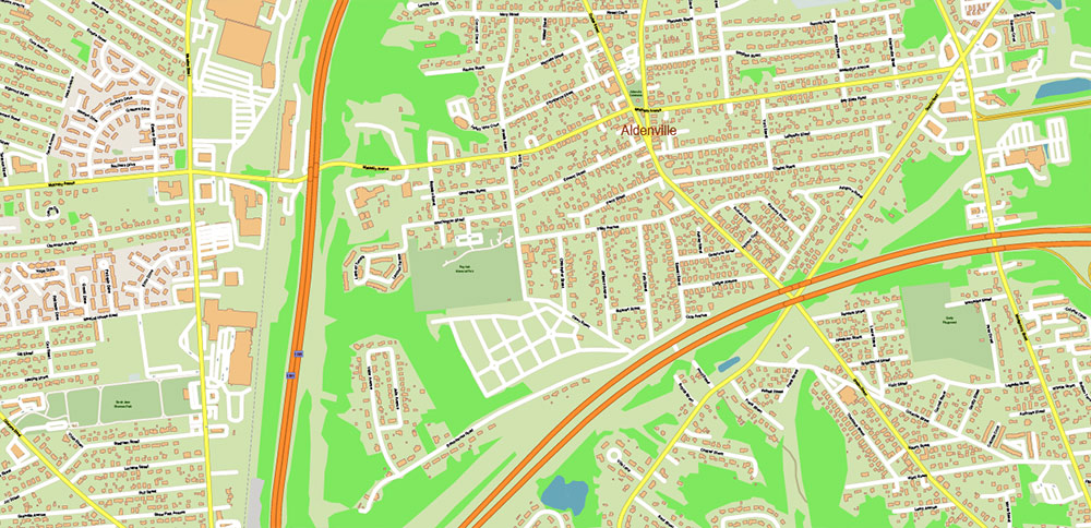
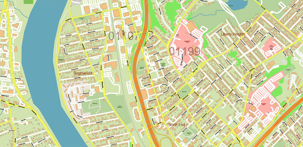
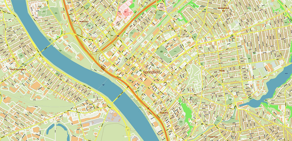
Springfield Area Massachusetts US Map Vector City Plan + Zipcodes High Detailed Street Map editable Adobe Illustrator in layers
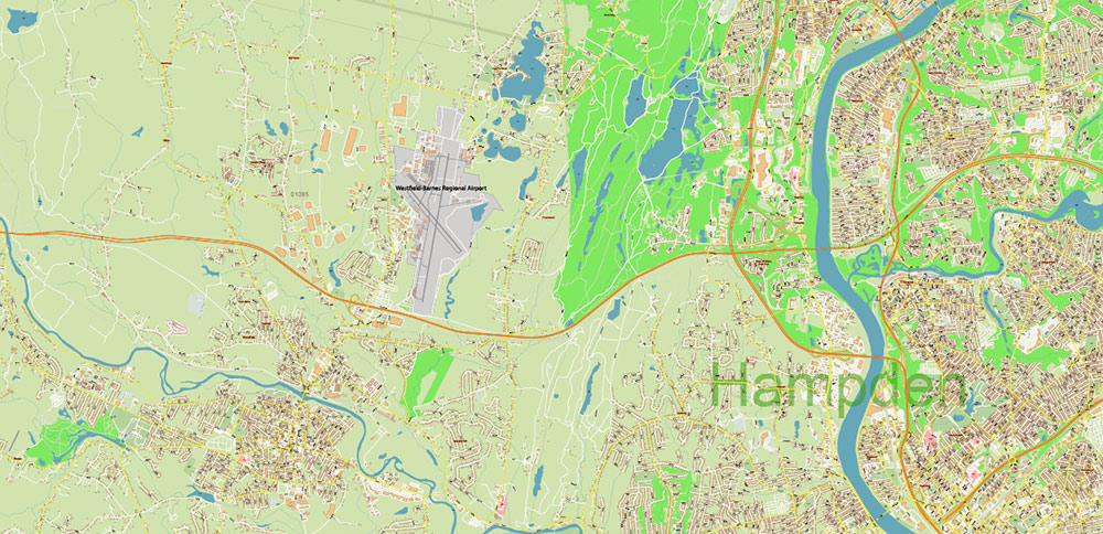
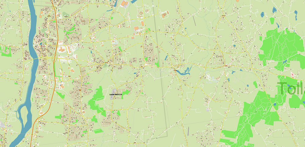
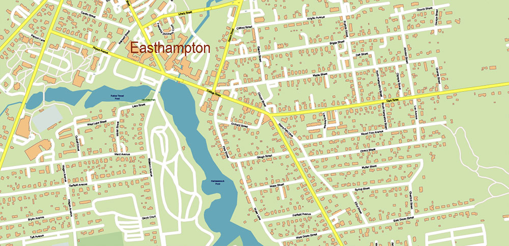
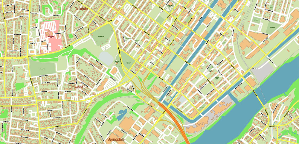
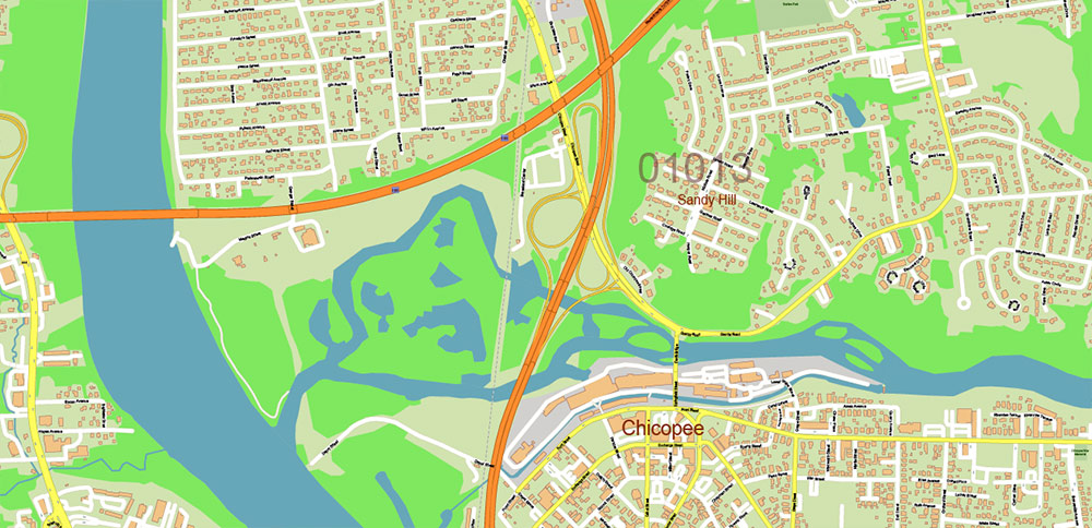
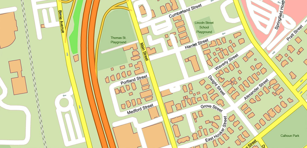
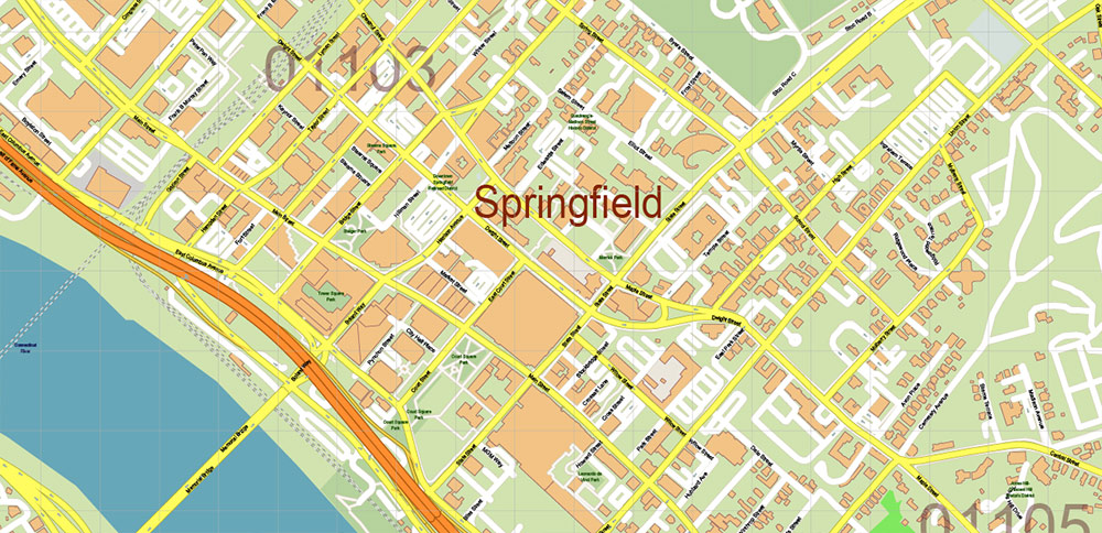
Springfield Area Massachusetts US Map Vector City Plan + Zipcodes High Detailed Street Map editable Adobe Illustrator in layers
Springfield Area Massachusetts US Map Vector City Plan + Zipcodes High Detailed Street Map editable Adobe Illustrator in layers
Springfield Area Massachusetts US Map Vector City Plan + Zipcodes High Detailed Street Map editable Adobe Illustrator in layers
Springfield Area Massachusetts US Map Vector City Plan + Zipcodes High Detailed Street Map editable Adobe Illustrator in layers
Springfield Area Massachusetts US Map Vector City Plan + Zipcodes High Detailed Street Map editable Adobe Illustrator in layersSpringfield Area Massachusetts US Map Vector City Plan + Zipcodes High Detailed Street Map editable Adobe Illustrator in layers
Springfield Area Massachusetts US Map Vector City Plan + Zipcodes High Detailed Street Map editable Adobe Illustrator in layers
Springfield Area Massachusetts US Map Vector City Plan + Zipcodes High Detailed Street Map editable Adobe Illustrator in layers
Springfield Area Massachusetts US Map Vector City Plan + Zipcodes High Detailed Street Map editable Adobe Illustrator in layers
Springfield Area Massachusetts US Map Vector City Plan + Zipcodes High Detailed Street Map editable Adobe Illustrator in layers
Springfield Area Massachusetts US Map Vector City Plan + Zipcodes High Detailed Street Map editable Adobe Illustrator in layers
Springfield Area Massachusetts US Map Vector City Plan + Zipcodes High Detailed Street Map editable Adobe Illustrator in layers
Springfield Area Massachusetts US Map Vector City Plan + Zipcodes High Detailed Street Map editable Adobe Illustrator in layers
Springfield Area Massachusetts US Map Vector City Plan + Zipcodes High Detailed Street Map editable Adobe Illustrator in layers
Springfield Area Massachusetts US Map Vector City Plan + Zipcodes High Detailed Street Map editable Adobe Illustrator in layers
Springfield Area Massachusetts US Map Vector City Plan + Zipcodes High Detailed Street Map editable Adobe Illustrator in layers
Springfield Area Massachusetts US Map Vector City Plan + Zipcodes High Detailed Street Map editable Adobe Illustrator in layers
Springfield Area Massachusetts US Map Vector City Plan + Zipcodes High Detailed Street Map editable Adobe Illustrator in layers
Springfield Area Massachusetts US Map Vector City Plan + Zipcodes High Detailed Street Map editable Adobe Illustrator in layers
Springfield Area Massachusetts US Map Vector City Plan + Zipcodes High Detailed Street Map editable Adobe Illustrator in layers
Springfield Area Massachusetts US Map Vector City Plan + Zipcodes High Detailed Street Map editable Adobe Illustrator in layers
Springfield Area Massachusetts US Map Vector City Plan + Zipcodes High Detailed Street Map editable Adobe Illustrator in layers
Springfield Area Massachusetts US Map Vector City Plan + Zipcodes High Detailed Street Map editable Adobe Illustrator in layers
Springfield Area Massachusetts US Map Vector City Plan + Zipcodes High Detailed Street Map editable Adobe Illustrator in layers
Springfield Area Massachusetts US Map Vector City Plan + Zipcodes High Detailed Street Map editable Adobe Illustrator in layers
Springfield Area Massachusetts US Map Vector City Plan + Zipcodes High Detailed Street Map editable Adobe Illustrator in layers
Springfield Area Massachusetts US Map Vector City Plan + Zipcodes High Detailed Street Map editable Adobe Illustrator in layers
Springfield Area Massachusetts US Map Vector City Plan + Zipcodes High Detailed Street Map editable Adobe Illustrator in layers
Springfield Area Massachusetts US Map Vector City Plan + Zipcodes High Detailed Street Map editable Adobe Illustrator in layers
Springfield Area Massachusetts US Map Vector City Plan + Zipcodes High Detailed Street Map editable Adobe Illustrator in layers

 Author: Kirill Shrayber, Ph.D. FRGS

