Extended Description of the Vector Map
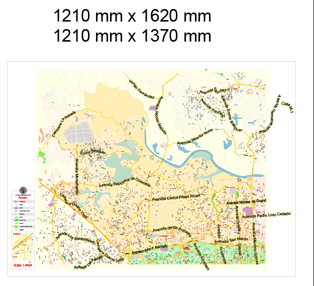
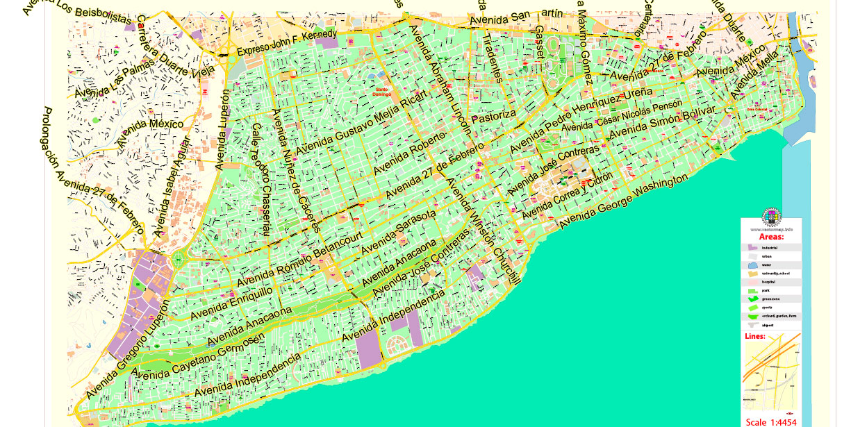
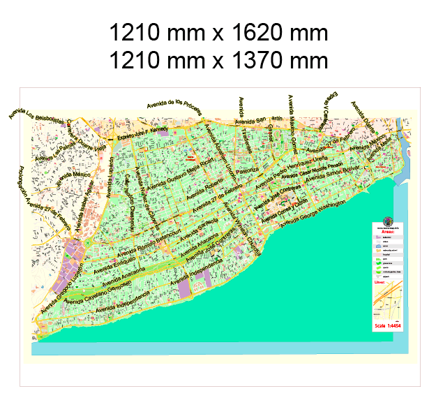
Printable Vector Map of Santo Domingo RD Special (3 maps in 1 archive) detailed City Plan scale 1:4454 full editable Adobe Illustrator + PDF Street Map in layers, scalable, text format all names, 21 MB ZIP
All street names, Main Objects. Map for design, printing, arts, projects, presentations, for architects, designers, and builders, business, logistics.
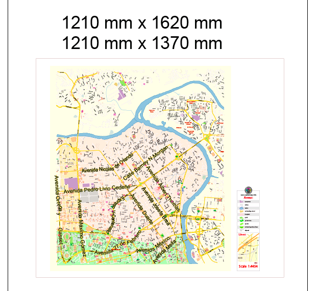
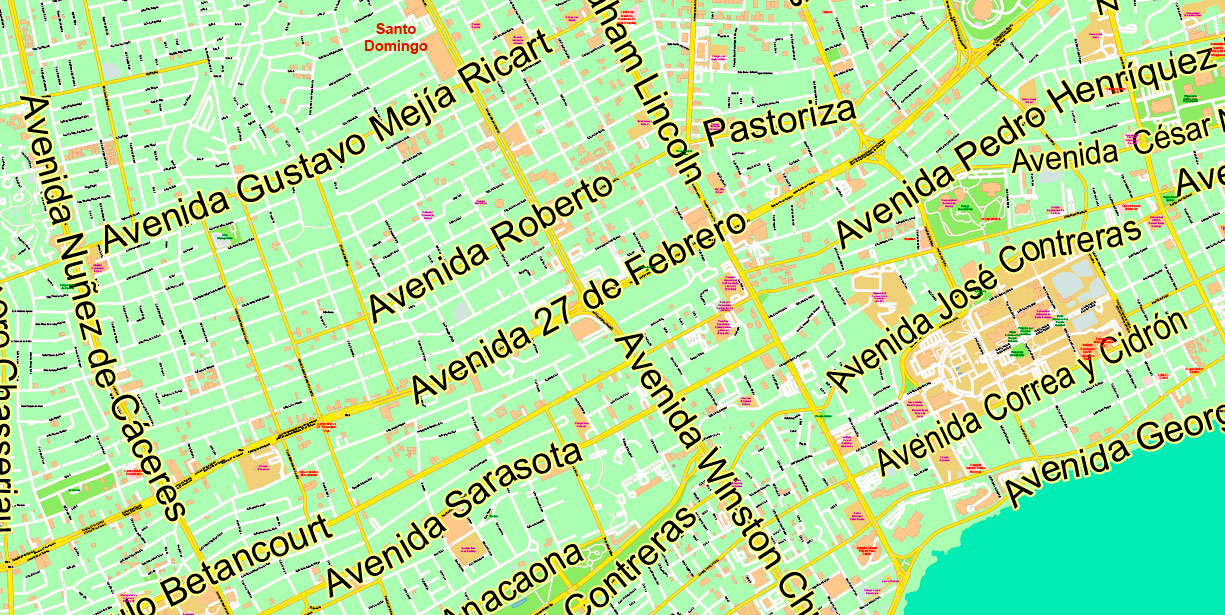
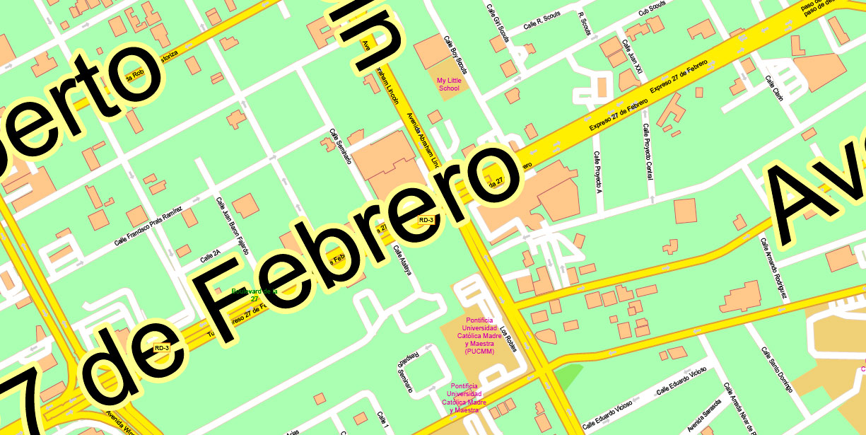
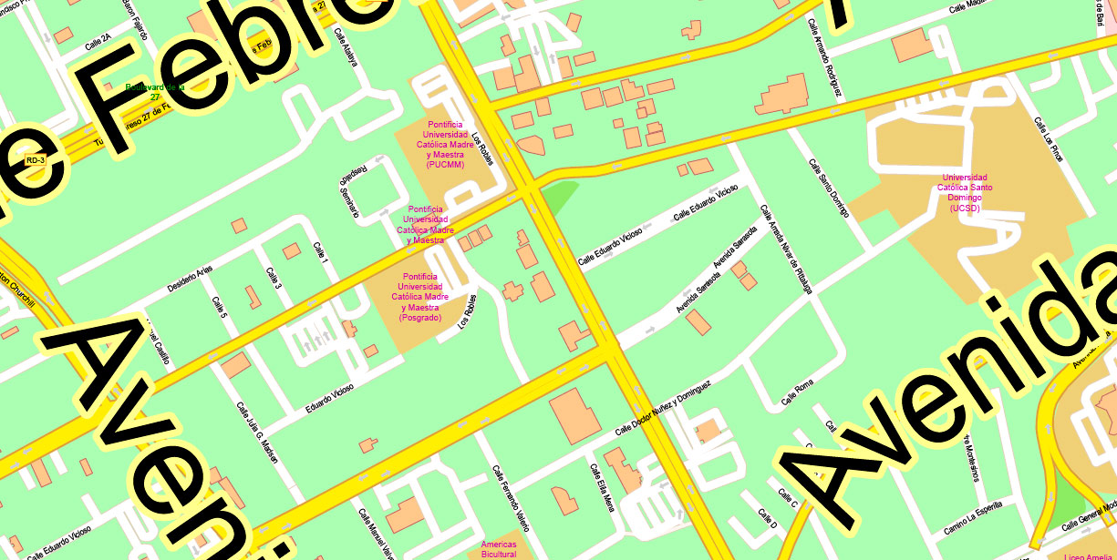
Santo Domingo RD Special Map Vector Exact City Plan High Detailed Street Map editable Adobe Illustrator + PDF in layers
Layers list:
- Legend
- Grids
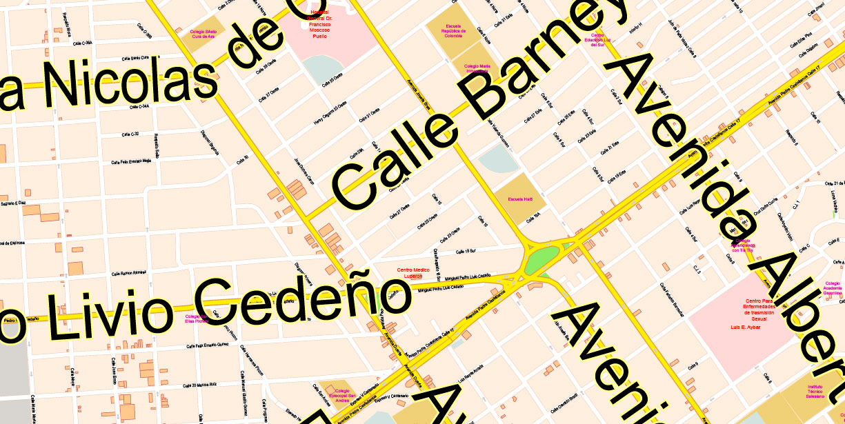
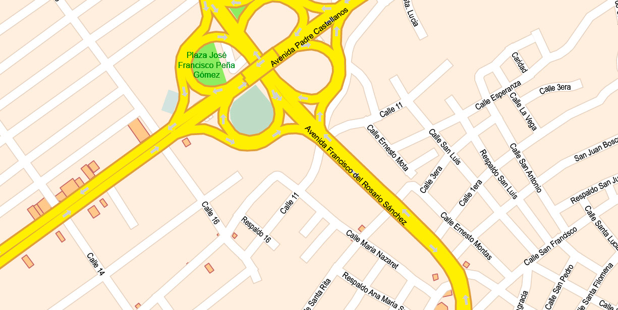
- Labels of roads
- Names of places (city, hamlet, etc.)
- Names of objects (hospitals, schools, parks, water)
- Names of main streets
- Names of Main streets (large) with Halo
- Names of civil streets
- Objects (icons)
- Arrows of streets
- Main Streets, roads, railroads, lines
- Civil streets
- Railroads
- Special administrative (electoral) area
- Water objects (rivers, lakes, ponds)
- Color fills (parks, hospital areas, school areas, land use, etc.)
- Back
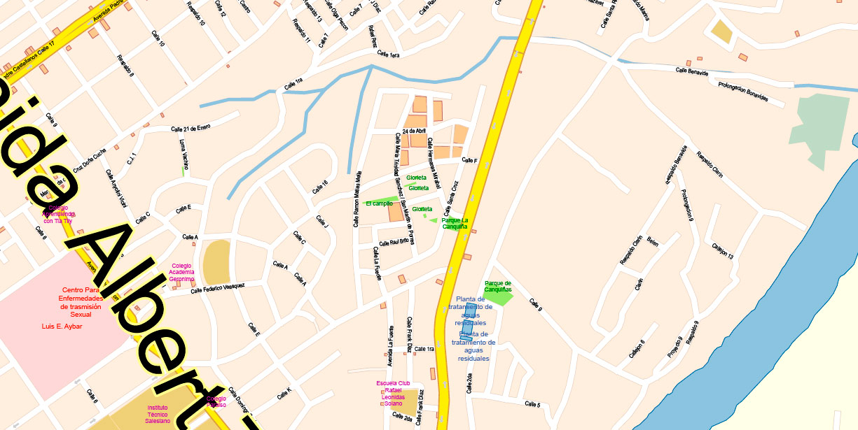
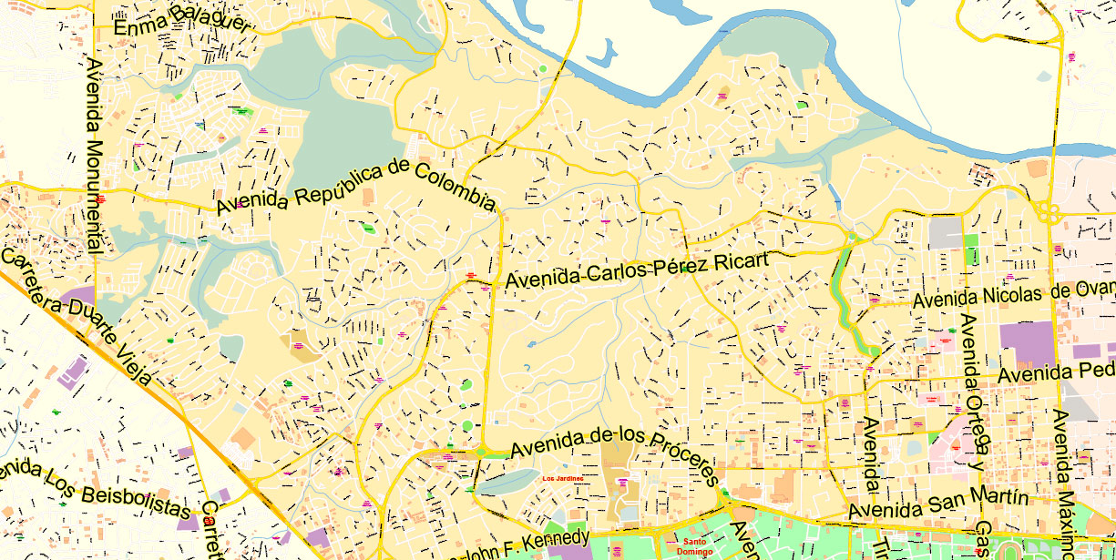
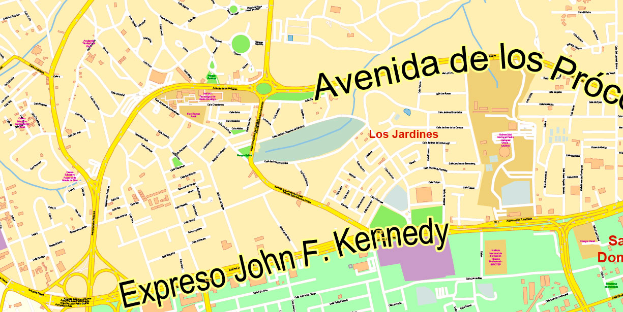
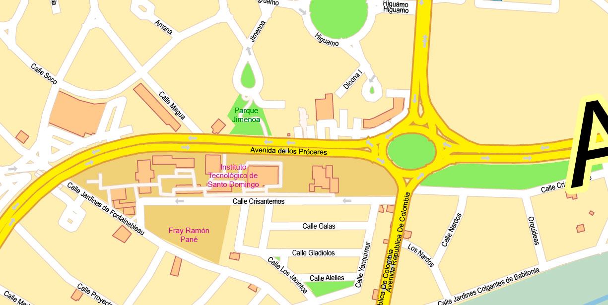
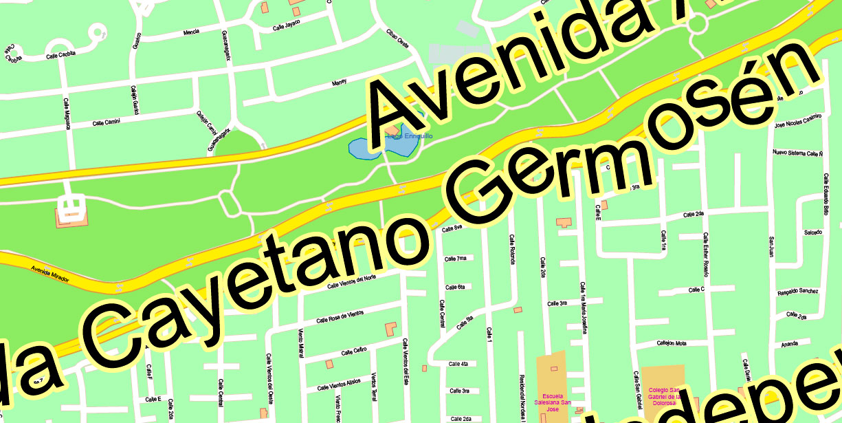
The most exact and detailed map of the city in scale.
For Editing and High-Quality Printing
Santo Domingo RD Special Map Vector Exact City Plan High Detailed Street Map editable Adobe Illustrator + PDF in layers
Santo Domingo RD Special Map Vector Exact City Plan High Detailed Street Map editable Adobe Illustrator + PDF in layers
Santo Domingo RD Special Map Vector Exact City Plan High Detailed Street Map editable Adobe Illustrator + PDF in layers
Santo Domingo RD Special Map Vector Exact City Plan High Detailed Street Map editable Adobe Illustrator + PDF in layers
Santo Domingo RD Special Map Vector Exact City Plan High Detailed Street Map editable Adobe Illustrator + PDF in layers
Santo Domingo RD Special Map Vector Exact City Plan High Detailed Street Map editable Adobe Illustrator + PDF in layers
Santo Domingo RD Special Map Vector Exact City Plan High Detailed Street Map editable Adobe Illustrator + PDF in layers
Santo Domingo RD Special Map Vector Exact City Plan High Detailed Street Map editable Adobe Illustrator + PDF in layers
Santo Domingo RD Special Map Vector Exact City Plan High Detailed Street Map editable Adobe Illustrator + PDF in layers
Santo Domingo RD Special Map Vector Exact City Plan High Detailed Street Map editable Adobe Illustrator + PDF in layers
Santo Domingo RD Special Map Vector Exact City Plan High Detailed Street Map editable Adobe Illustrator + PDF in layers
Santo Domingo RD Special Map Vector Exact City Plan High Detailed Street Map editable Adobe Illustrator + PDF in layers
Santo Domingo RD Special Map Vector Exact City Plan High Detailed Street Map editable Adobe Illustrator + PDF in layers

 Author: Kirill Shrayber, Ph.D. FRGS

