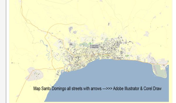
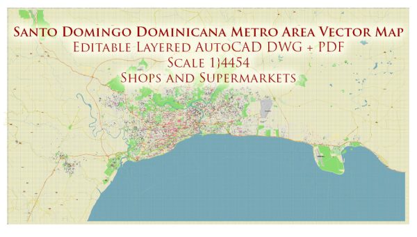
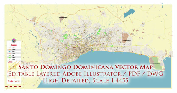
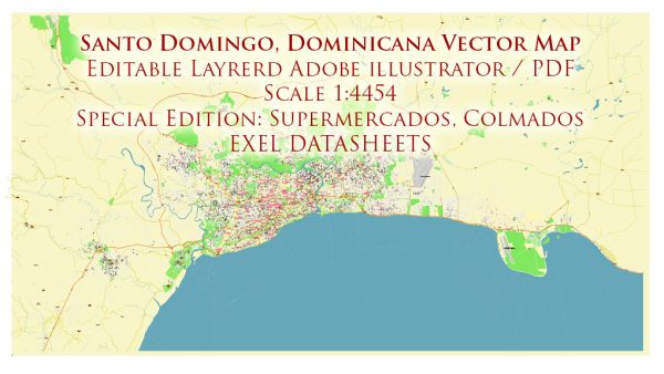
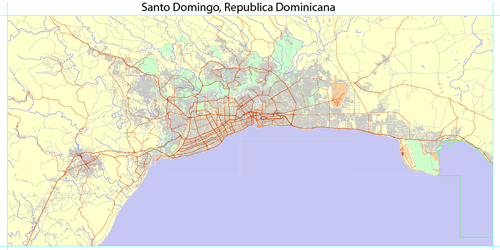
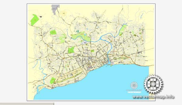
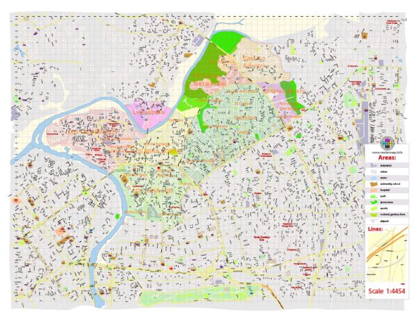
A general overview of the waterways, bridges, and main streets in Santo Domingo, Dominican Republic. Vectormap.Net provide you with the most accurate and up-to-date vector maps in Adobe Illustrator, PDF and other formats, designed for editing and printing. Please read the vector map descriptions carefully.
Waterways: Santo Domingo is situated along the coast of the Caribbean Sea, and while it doesn’t have extensive navigable waterways within the city, the Ozama River plays a significant role. The Ozama River flows through the heart of Santo Domingo and has historical importance as it was the site of the first European settlement in the Americas.
Bridges: The city is connected by several bridges that span the Ozama River. One of the notable bridges is the Puente Juan Bosch, which connects the eastern and western parts of the city. The Puente de la 17 is another important bridge. Keep in mind that the names and number of bridges might have changed, and new ones could have been constructed since my last update.
Main Streets: Santo Domingo has a network of streets and avenues that form the city’s transportation system. Some of the main streets and avenues include:
- Avenida George Washington (Malecón): This is a scenic oceanfront avenue along the Caribbean Sea, known for its waterfront views, parks, and recreational areas.
- Avenida Winston Churchill: A major avenue named after the former British Prime Minister, it intersects with other important roads and is lined with businesses and commercial establishments.
- Avenida 27 de Febrero: One of the city’s main arteries, this avenue runs across Santo Domingo, connecting various neighborhoods and commercial areas.
- Avenida Máximo Gómez: Another important avenue that intersects with the Avenida 27 de Febrero, providing access to different parts of the city.
- Autopista Las Américas: This is a major highway that connects Santo Domingo with the Las Américas International Airport and other areas to the east of the city.
Keep in mind that the urban landscape can change, and new developments may have occurred since my last update. For the most current and detailed information, it’s recommended to consult local maps, city planning documents, or official tourism resources for Santo Domingo.

 Author: Kirill Shrayber, Ph.D.