Taxonomy: Product Tags for this Vector Map
Extended Description of the Vector Map
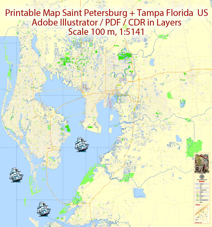
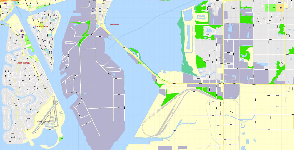
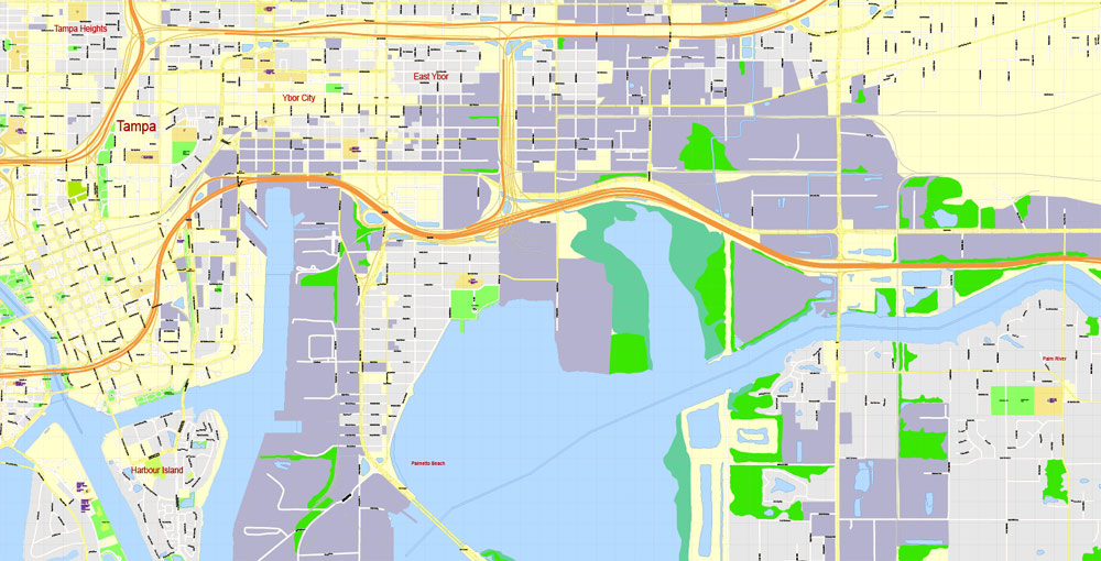
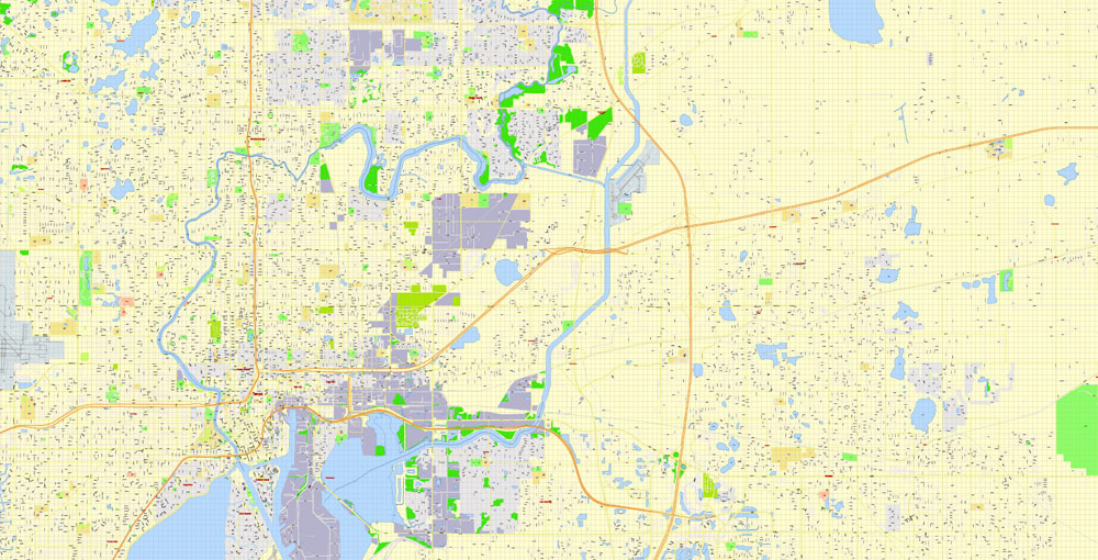
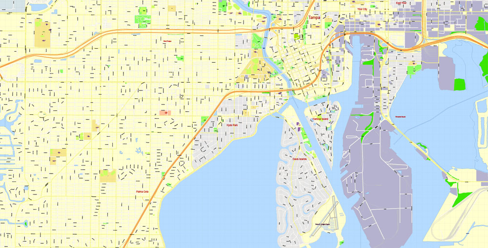
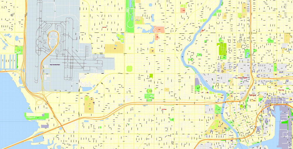
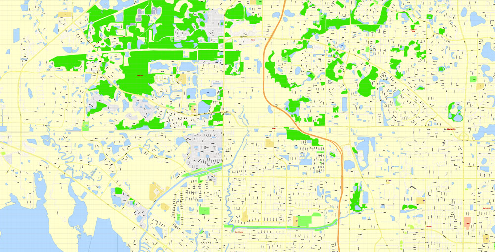
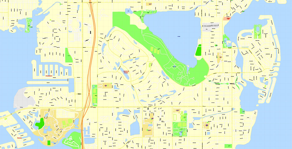
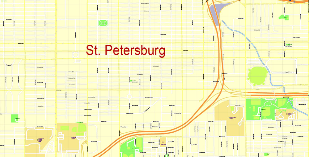
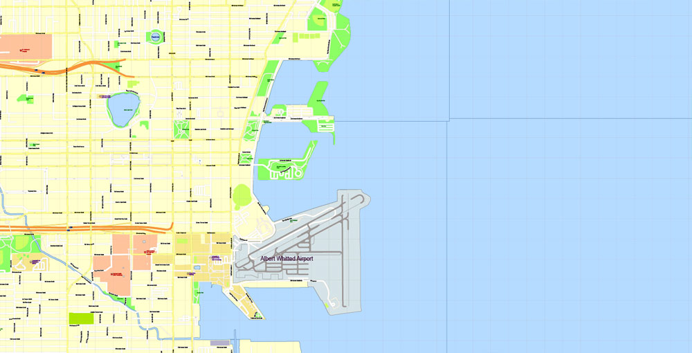
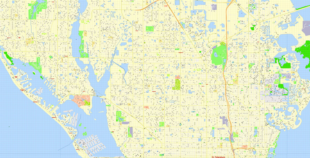
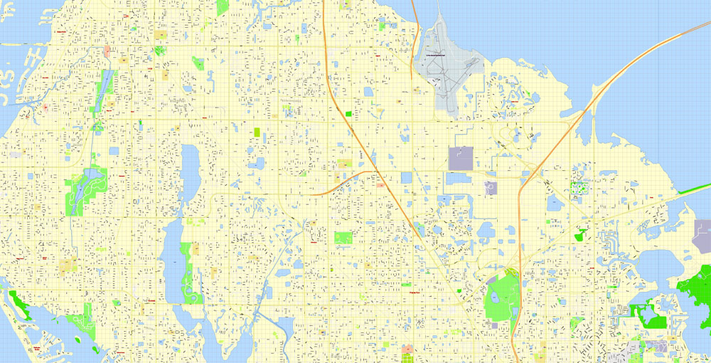
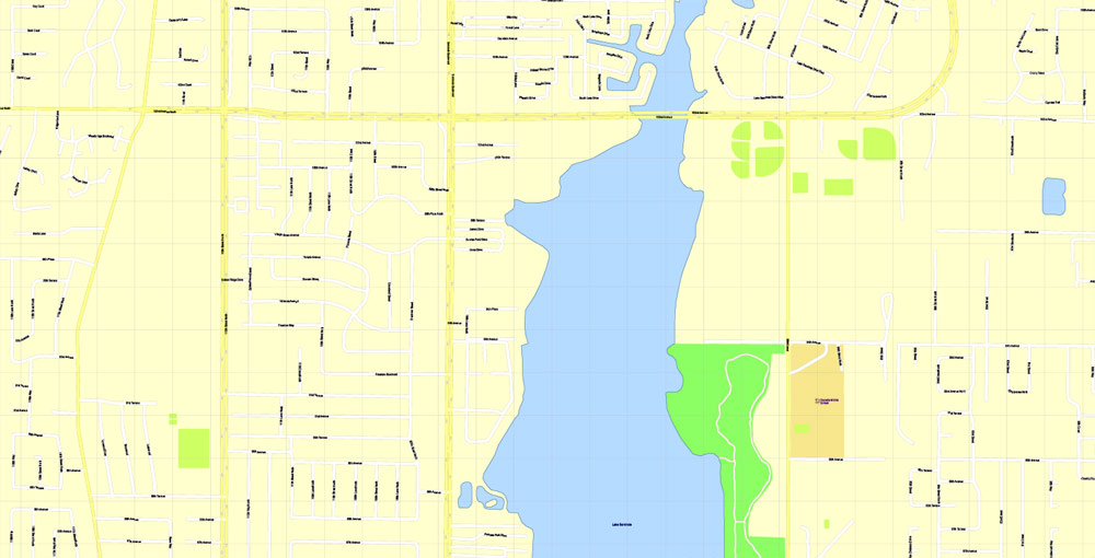
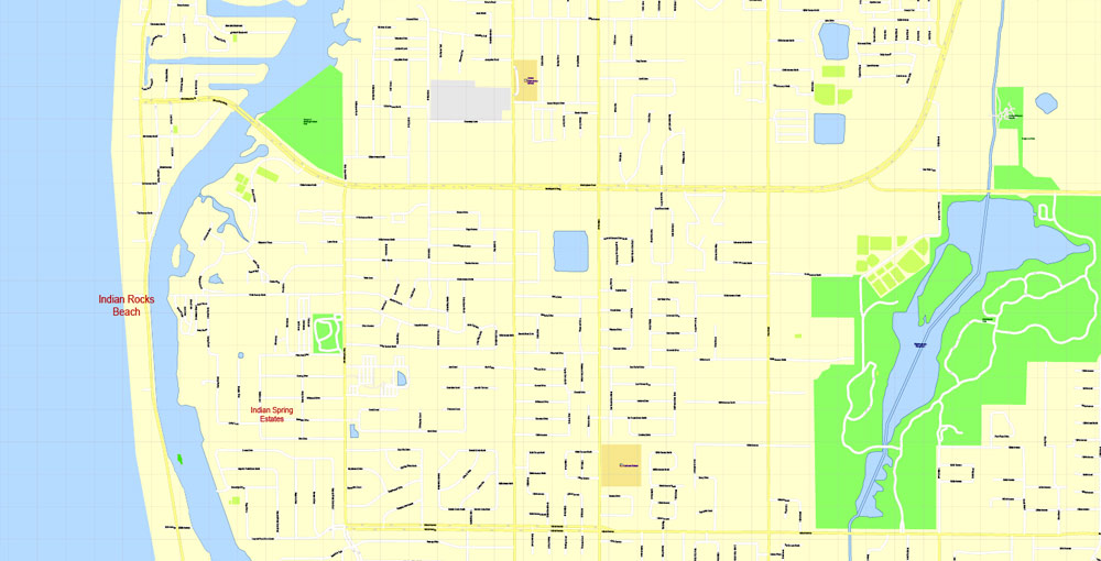
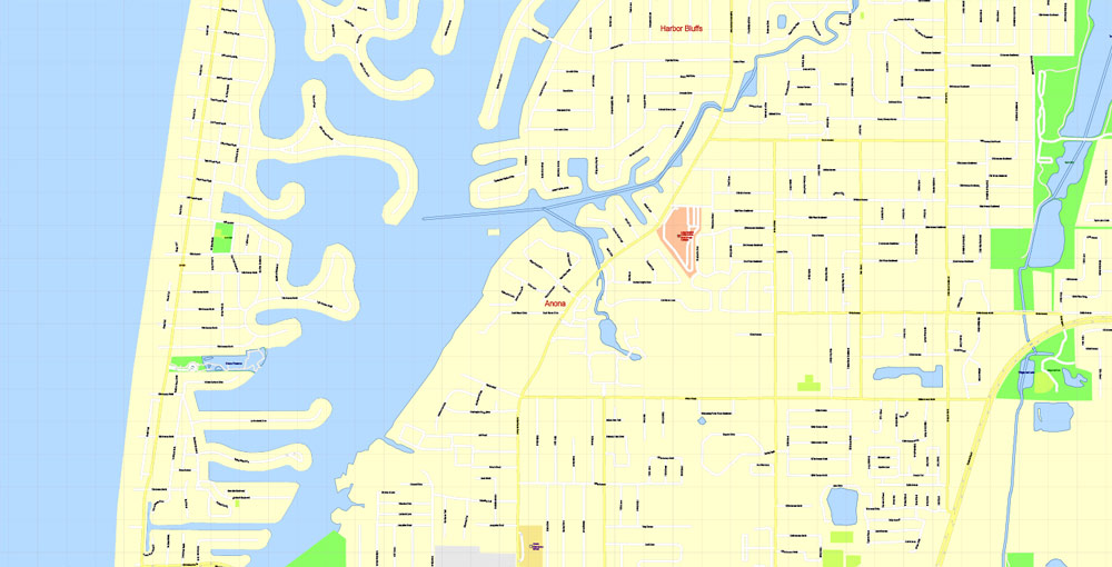
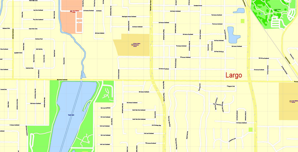
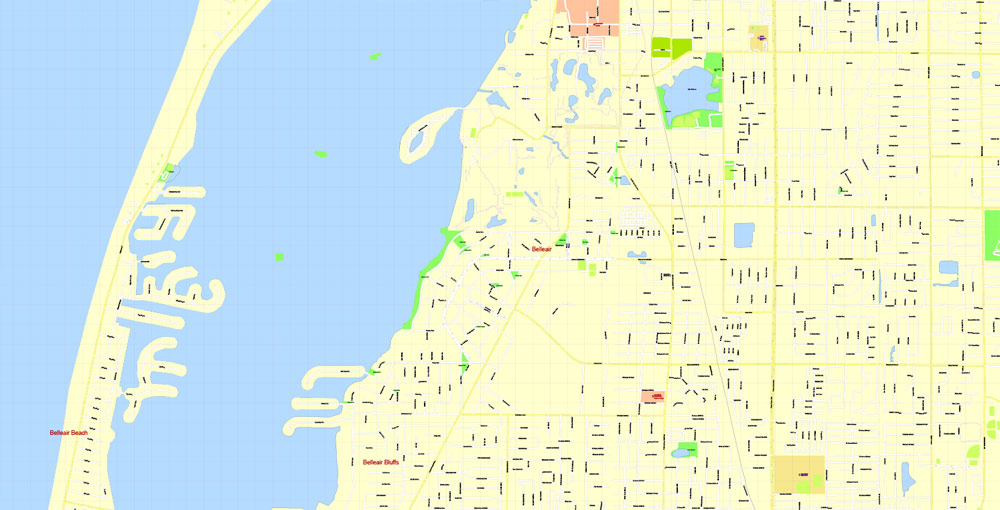
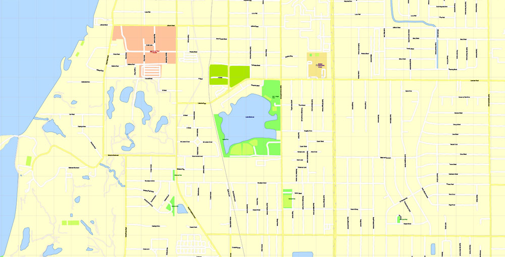
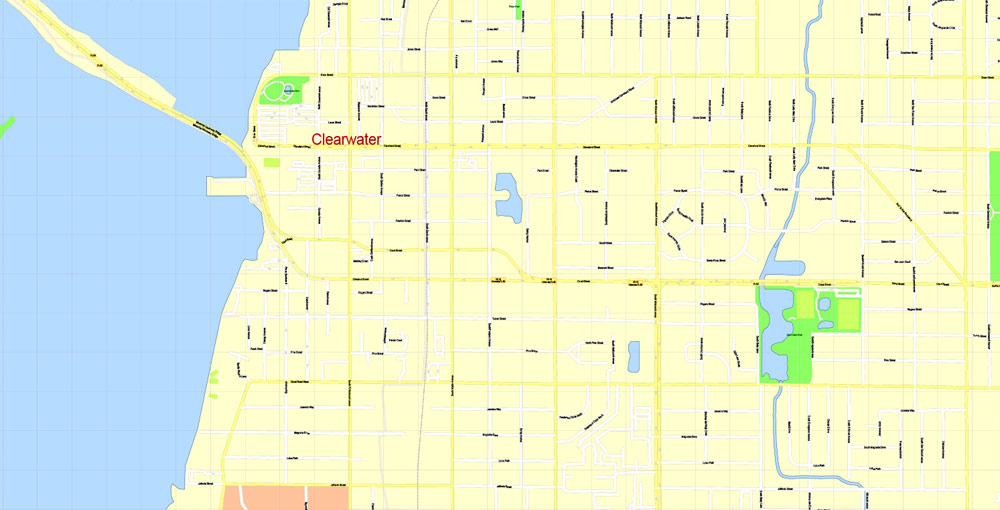
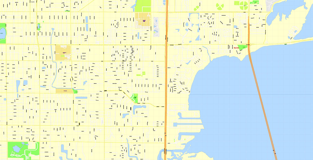
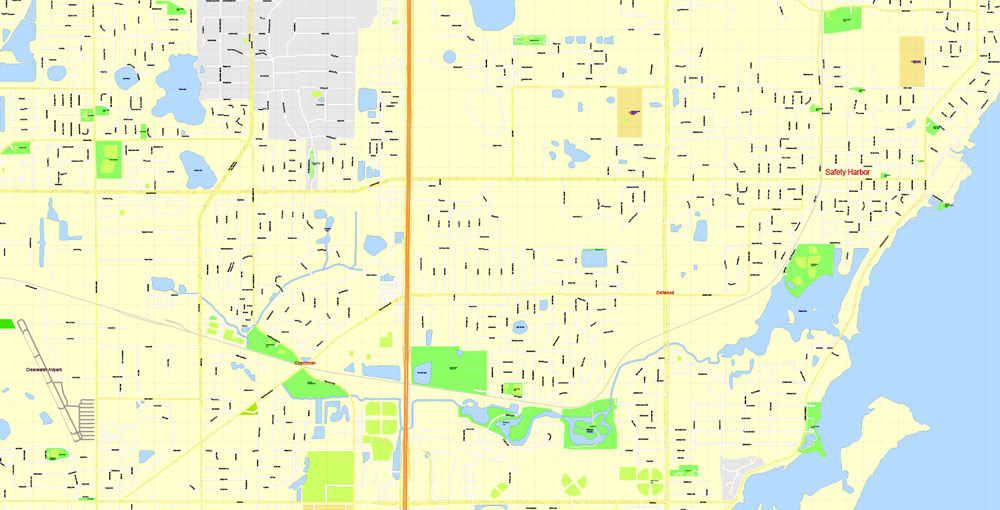
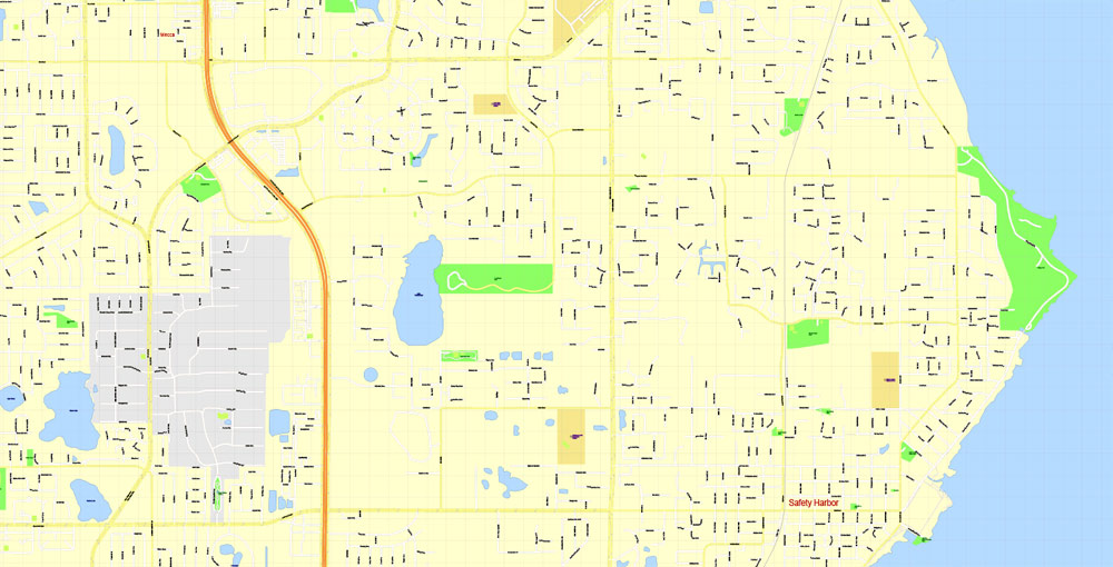
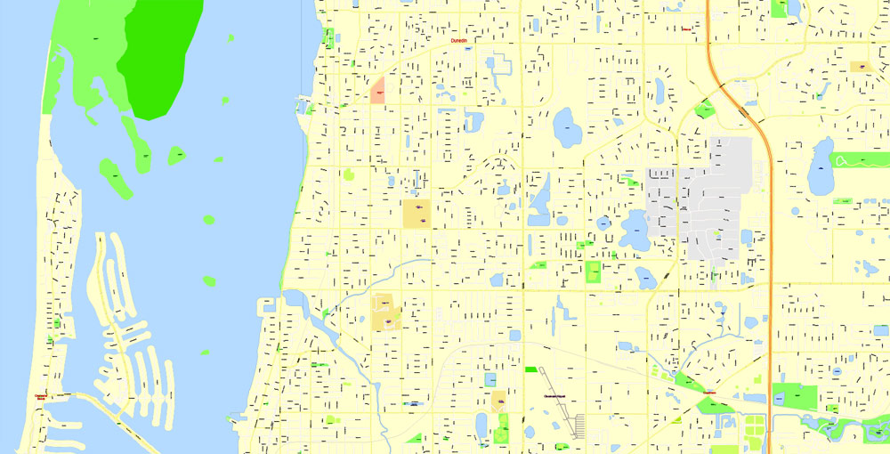
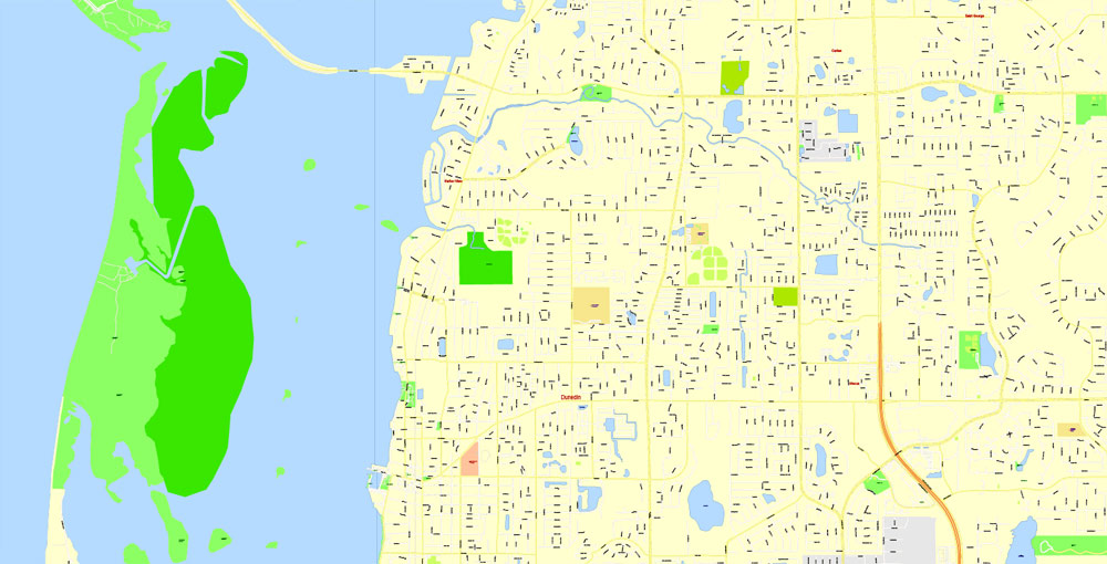
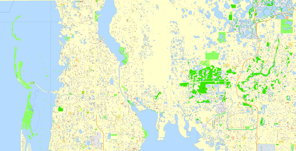
Printable CDR Map Saint Petersburg & Tampa Metro Area, Florida US, exact vector City Plan scale 1:5141, full editable, CorelDRAW Street Map in Layers, text format all names, 62 mb ZIP
All streets named, Main Objects. Map for design, printing, arts, projects, presentations, for architects, designers and builders, business, logistics.
Layers: color_fills, streets_roads, names_sreets, names_places, arrows_streets, labels_roads, names_objects, water_1, water_2, grids, legend.
The most exact and detailed map of the city.
DWG, DXF, EPS and other formats – on request, same price, please, contact
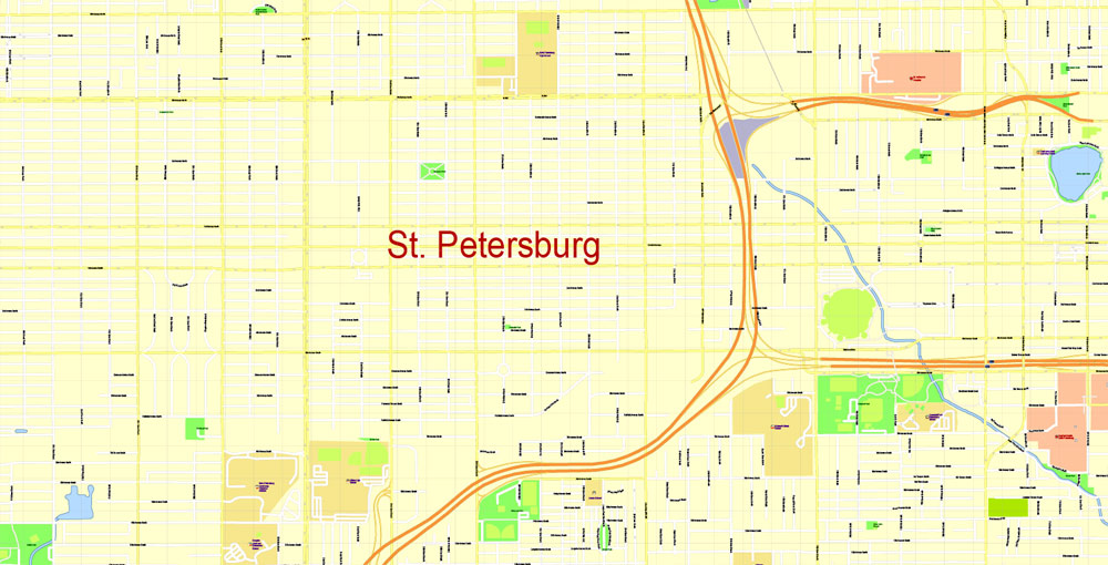
St. Petersburg
City in Florida
St. Petersburg is a city on Florida’s gulf coast, part of the Tampa Bay area. It’s known for its pleasant weather (hence its “Sunshine City” nickname), making it popular for golfing, boating, fishing and beachgoing. Its waterfront parks host the Dali Museum, featuring surrealist works of art; the Museum of Fine Arts, with works ranging from ancient to contemporary; and Mahaffey Theater, home of the Florida Orchestra.
Area
• City 137.64 sq mi (356.50 km2)
• Land 61.75 sq mi (159.94 km2)
• Water 75.89 sq mi (196.56 km2)
Elevation 44 ft (13.4 m)
Population
• City 244,769
• Estimate 260,999
• Rank 79th
• Density 4,226.57/sq mi (1,631.90/km2)
• Urban 2,441,770 (17th)
• Metro 2,870,569 (18th)
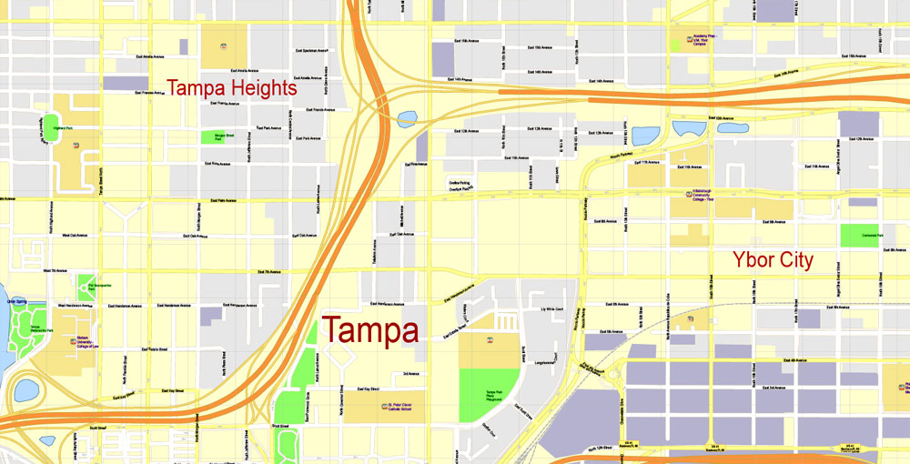
Tampa
City in Florida
Tampa is a city on Tampa Bay, along Florida’s Gulf Coast. A major business center, it’s also known for its museums and other cultural offerings. Busch Gardens is an African-themed amusement park with thrill rides and animal-viewing areas. The historic Ybor City neighborhood, developed by Cuban and Spanish cigar-factory workers at the turn of the 20th century, is a dining and nightlife destination.
Area
• City 175.22 sq mi (453.81 km2)
• Land 113.42 sq mi (293.75 km2)
• Water 61.80 sq mi (160.06 km2) 35.3%
• Urban 802.3 sq mi (2,078 km2)
• Metro 2,554 sq mi (6,610 km2)
Elevation 48 ft (14.6 m)
Population
• City 335,709
• Estimate 377,165
• Rank 52nd in the US
• Density 3,325.47/sq mi (1,283.97/km2)
• Urban 2.4 million (17th)
• Metro 3,068,511
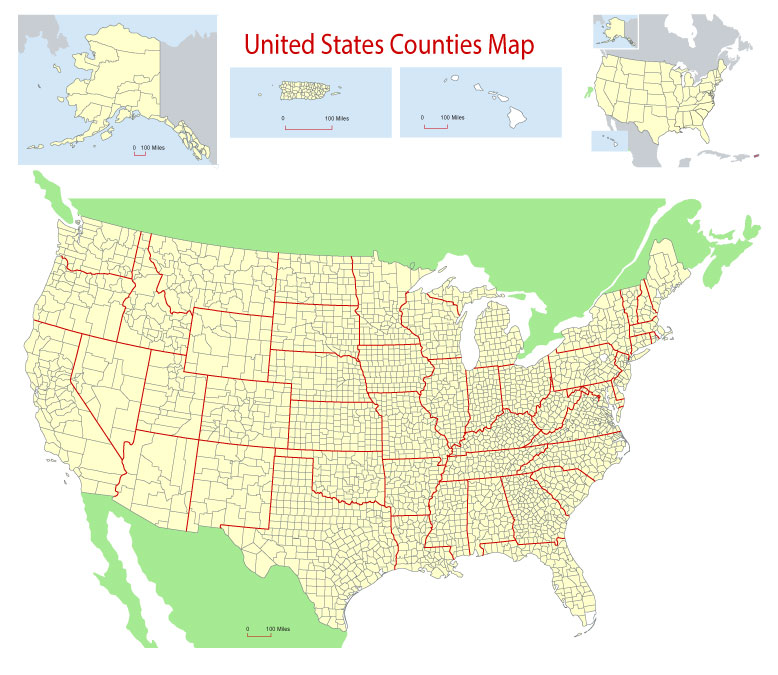
Free Download Vector Map US County and State Adobe Illustrator
Free_Vector_Map_US_States_County_Map.ai
Free Download Vector Map US County and State Adobe PDF
Free_Vector_Map_US_States_County_Map.pdf
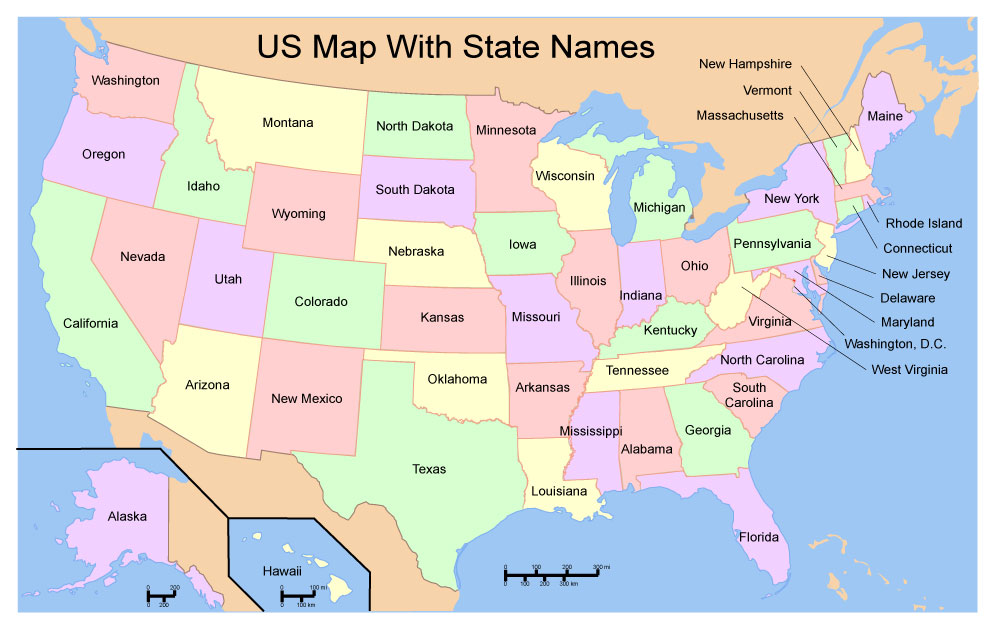
Free Download Vector Map US With States Names, Adobe Illustrator
Free_Map_of_USA_with_state_names_en.ai
Free Download Vector Map US With States Names, Adobe PDF
Free_Map_of_USA_with_state_names_en.pdf
From WIKI
Free vector map World, Adobe Illustrator, download now maps vector clipart
Map for design, projects, presentation free to use as you like.
See also: TERMS & CONDITIONS: SOFTWARE LICENSE AGREEMENT FOR DIGITAL CARTOGRAPHIC DATA.
Need more USA Vector Maps, printable and editable?
 If you have any questions, please, feel free
 We accept PayPal and all Debit or Credit Cards | Instantly Download Your Map after payment.

 Author: Kirill Shrayber, Ph.D.