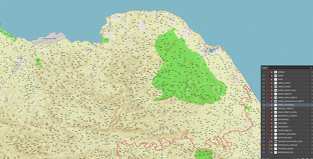
Extended Description of the Vector Map
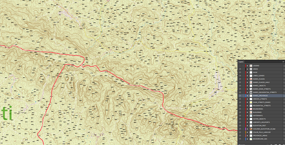
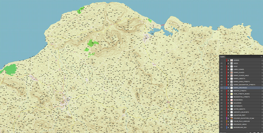
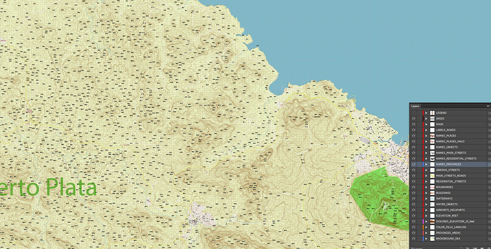
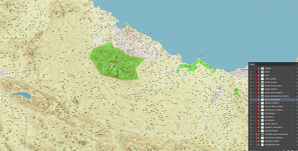
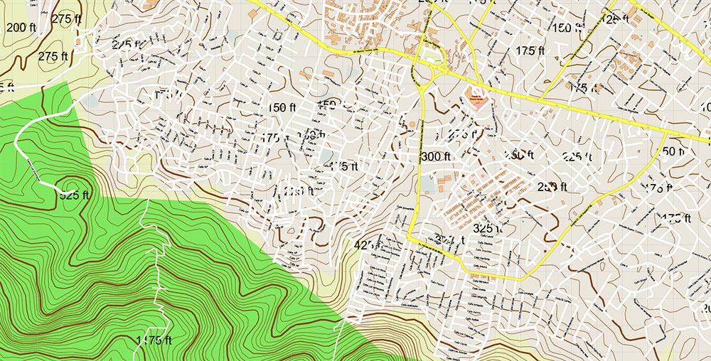
Printable PDF Vector Map of Puerto Plata Dominicana Relief detailed roas map scale 1:4422 fully editable Adobe PDF scalable, text/curves all names, 91 MB ZIP
All street names, Main Objects, Buildings. Map for design, printing, arts, projects, presentations, for architects, designers, and builders, business, logistics.
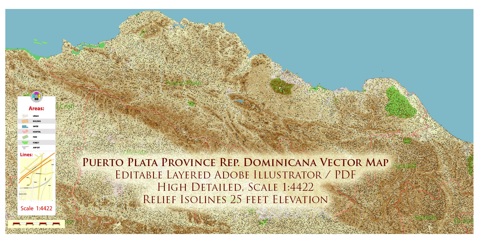
Puerto Plata Dominicana Relief PDF Map Vector Exact High Detailed Road Map editable Adobe PDF in layers
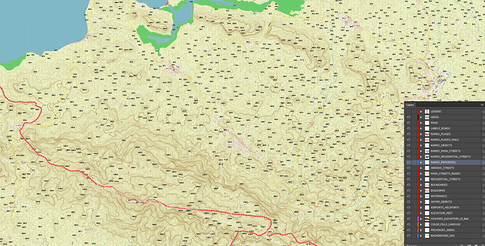
Layers list:
- Legend and scales
- Grids
- Mask
- Labels of roads
- Names of places (city, town, village, hamlet, etc.)
- Names of objects (parks, water, hospitals)
- Names of main streets
- Names of residential streets
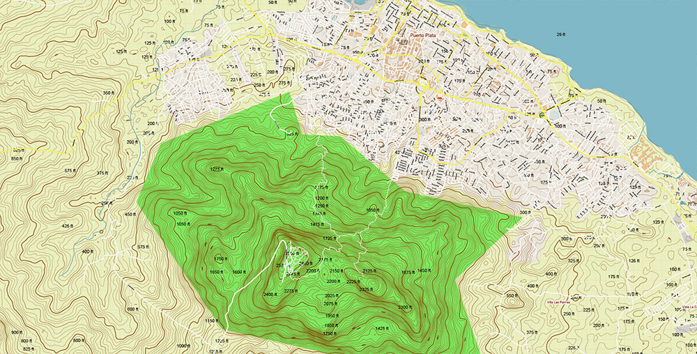
- Elevation – feet
- Names provinces
- Arrows of streets directions
- Main Streets, roads
- Residential streets
- Provinces boundaries
- Buildings
- Airports and Heliports
- Water objects (rivers, lakes, ponds)
- Waterways
- Color fills (parks, hospital areas, land use, etc.)
- Relief Isolines 25 feet interval
- Provinces Areas
- Background and sea
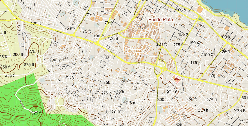
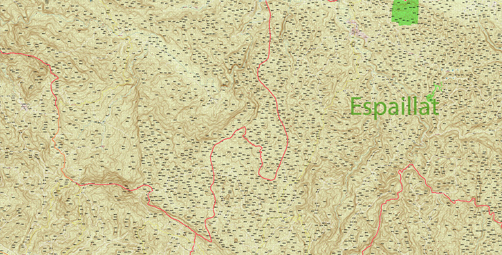
The most exact and detailed map of the city in scale.
For Editing and High-Quality Printing
Puerto Plata Dominicana Relief PDF Map Vector Exact High Detailed Road Map editable Adobe PDF in layers
Puerto Plata Dominicana Relief PDF Map Vector Exact High Detailed Road Map editable Adobe PDF in layers
Puerto Plata Dominicana Relief PDF Map Vector Exact High Detailed Road Map editable Adobe PDF in layers
Puerto Plata Dominicana Relief PDF Map Vector Exact High Detailed Road Map editable Adobe PDF in layers
Puerto Plata Dominicana Relief PDF Map Vector Exact High Detailed Road Map editable Adobe PDF in layers
Puerto Plata Dominicana Relief PDF Map Vector Exact High Detailed Road Map editable Adobe PDF in layers
Puerto Plata Dominicana Relief PDF Map Vector Exact High Detailed Road Map editable Adobe PDF in layers
Puerto Plata Dominicana Relief PDF Map Vector Exact High Detailed Road Map editable Adobe PDF in layers
Puerto Plata Dominicana Relief PDF Map Vector Exact High Detailed Road Map editable Adobe PDF in layers
Puerto Plata Dominicana Relief PDF Map Vector Exact High Detailed Road Map editable Adobe PDF in layers
Puerto Plata Dominicana Relief PDF Map Vector Exact High Detailed Road Map editable Adobe PDF in layers
Puerto Plata Dominicana Relief PDF Map Vector Exact High Detailed Road Map editable Adobe PDF in layers

 Author: Kirill Shrayber, Ph.D. FRGS

