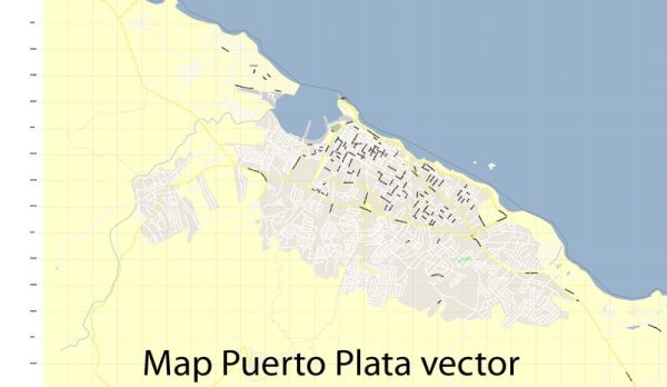
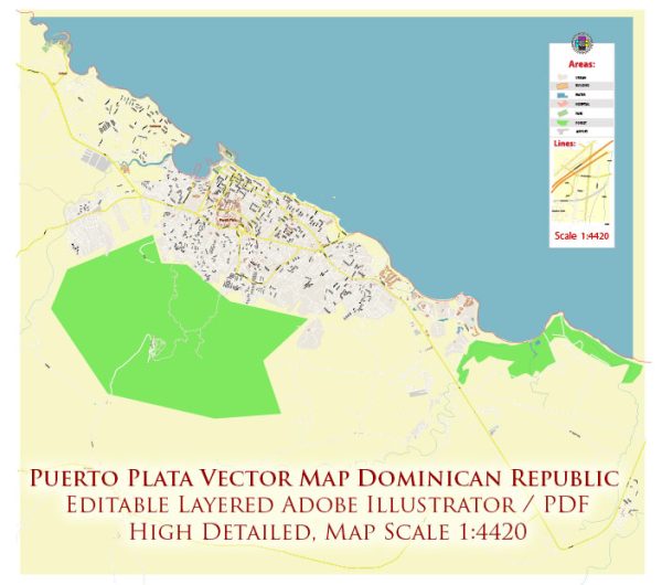
Vector Maps of the San Felipe de Puerto Plata : capital of the Puerto Plata province on the Dominican Republic’s Atlantic north coast. The city is best known for its beaches. Playa Dorada’s lengthy beachfront is backed by resorts and an 18-hole golf course. The city’s old colonial-era center is dominated by the 16th-century Fortaleza San Felipe, a Spanish fortress that now houses historical and military artifacts.
Area: 509 km²
Elevation: 8 m
Download royalty free, editable vector maps of San Felipe de Puerto Plata Dominican Republic in high resolution digital PDF and Adobe Illustrator format.
 Author: Kirill Shrayber, Ph.D.
I have been working with vector cartography for over 25 years, including GPS, GIS, Adobe Illustrator and other professional cartographic software.
Linkedin: https://www.linkedin.com/in/kirill-shrayber-0b839325/
Twitter: https://twitter.com/vectormapper


