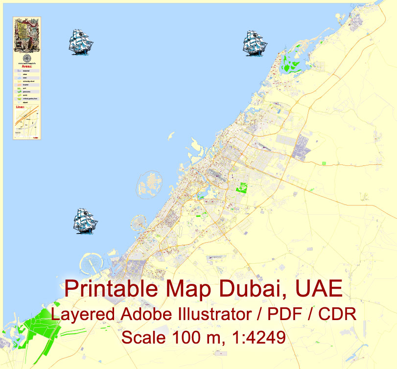
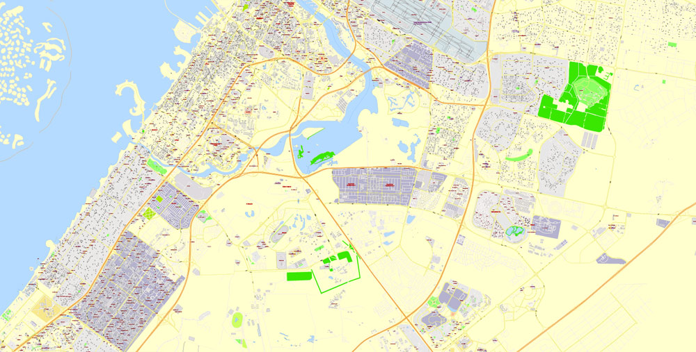
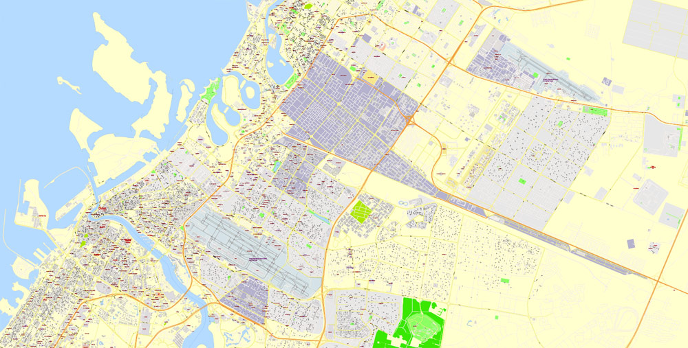
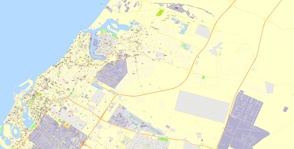
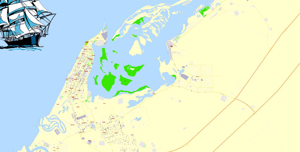
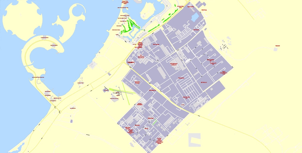
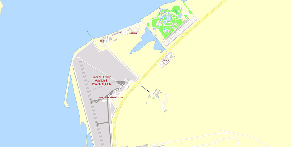
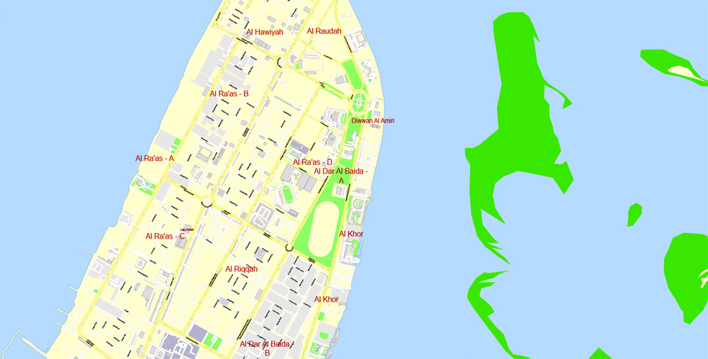
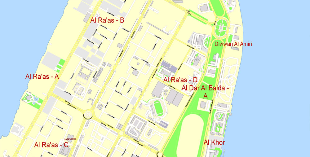
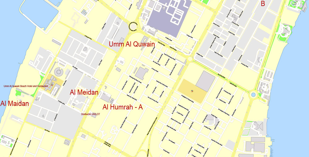
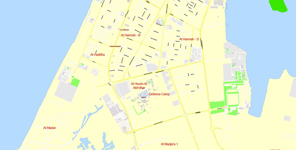
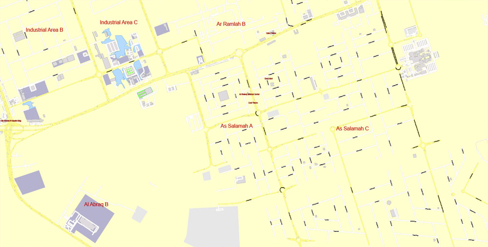
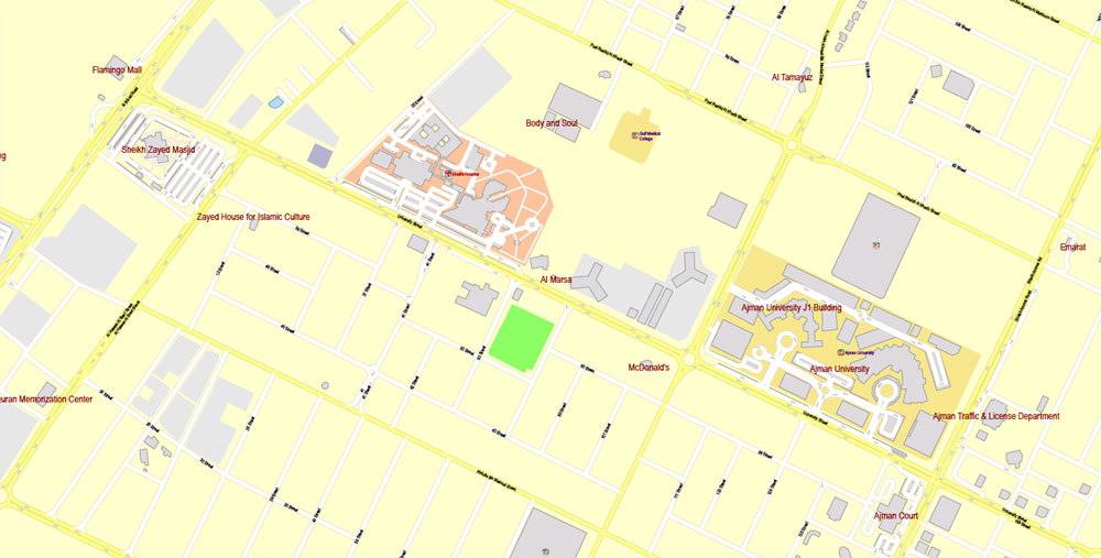
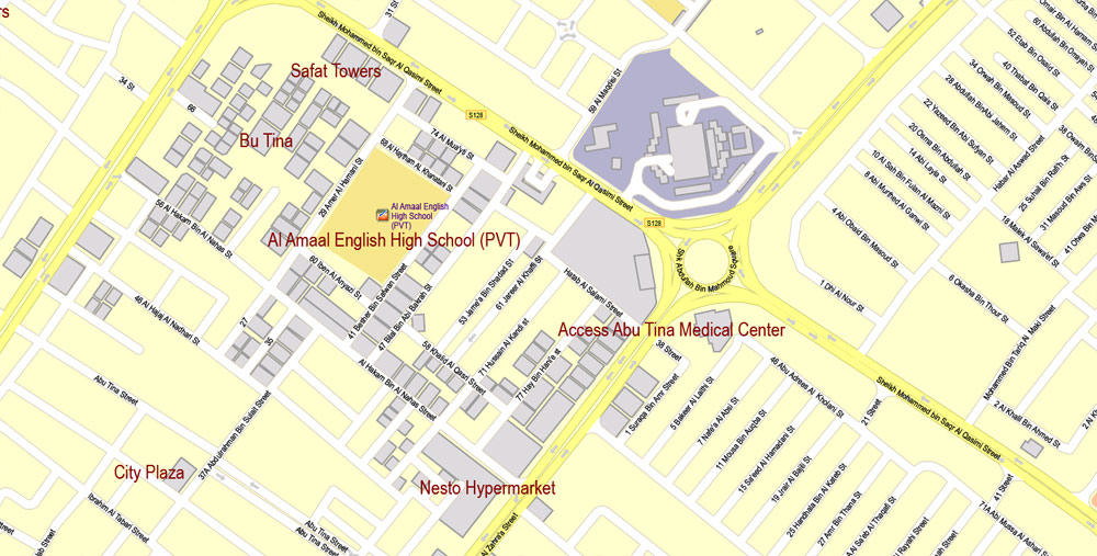
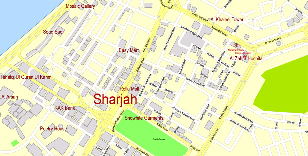
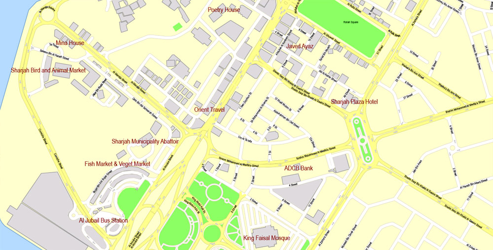
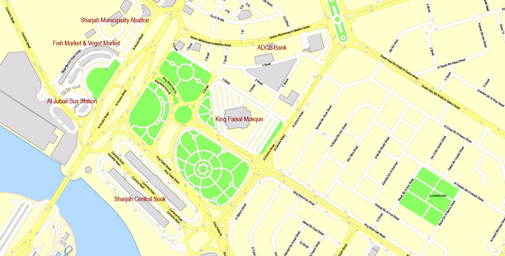
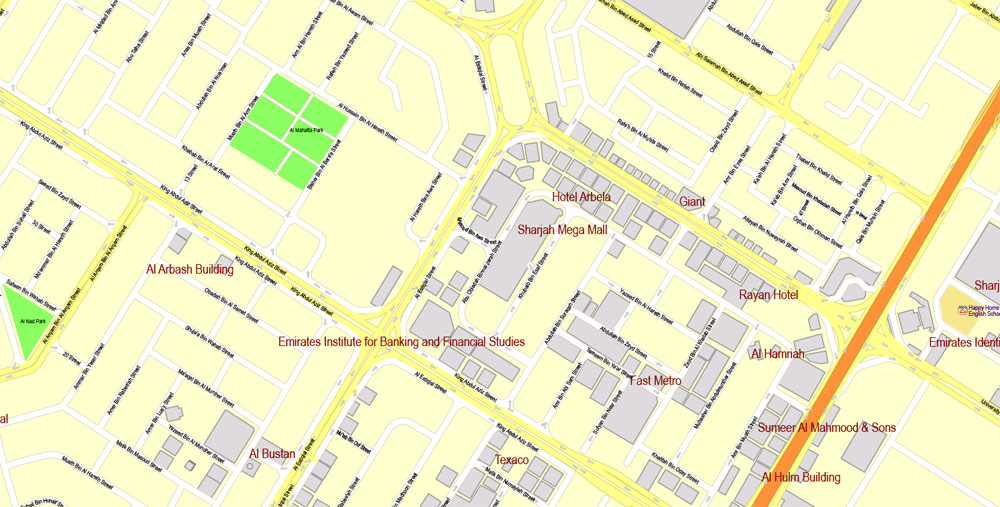
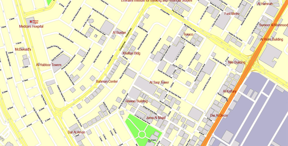
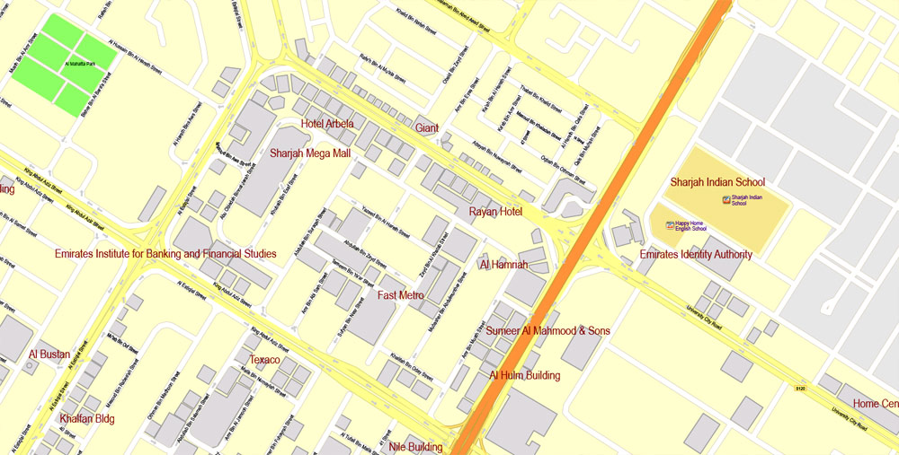
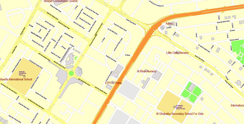
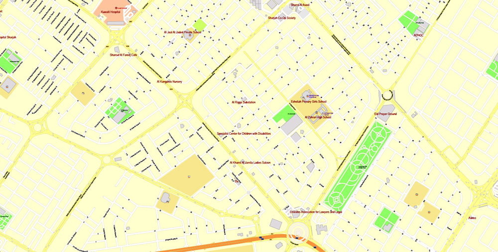
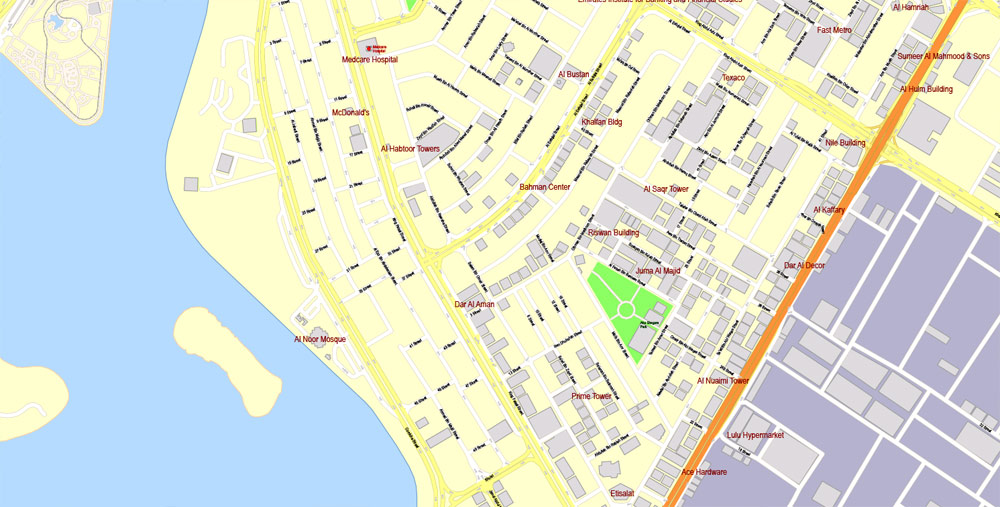
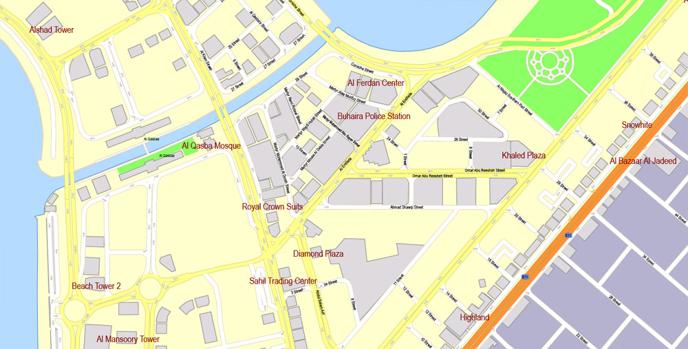
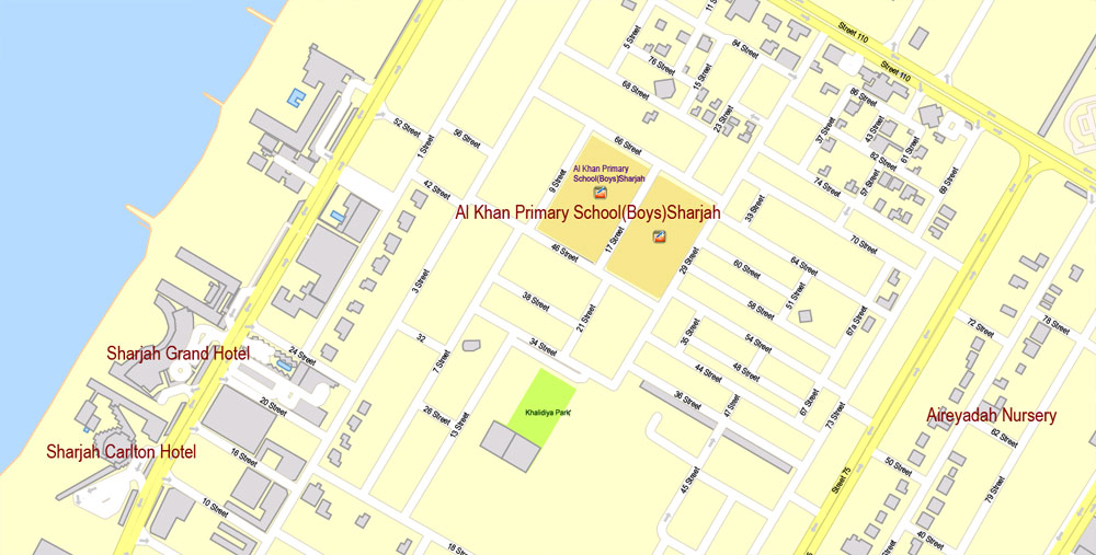
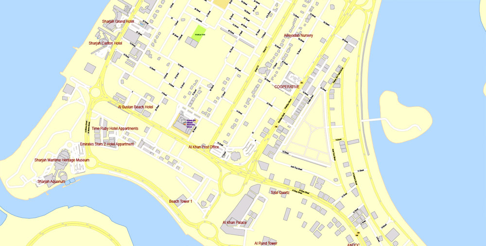
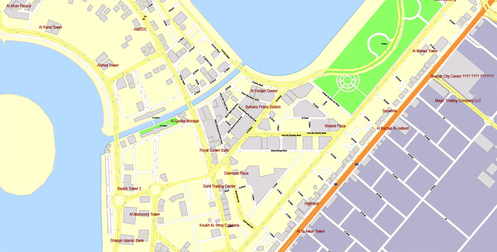
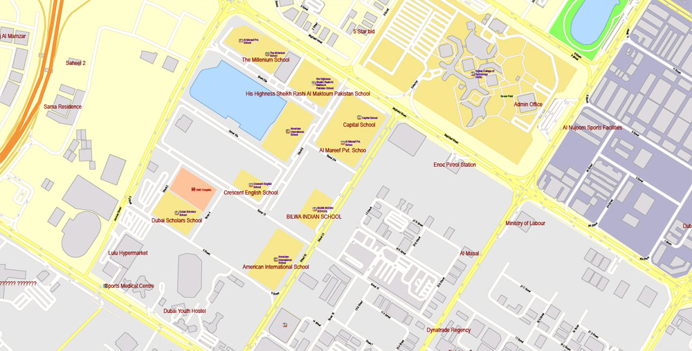
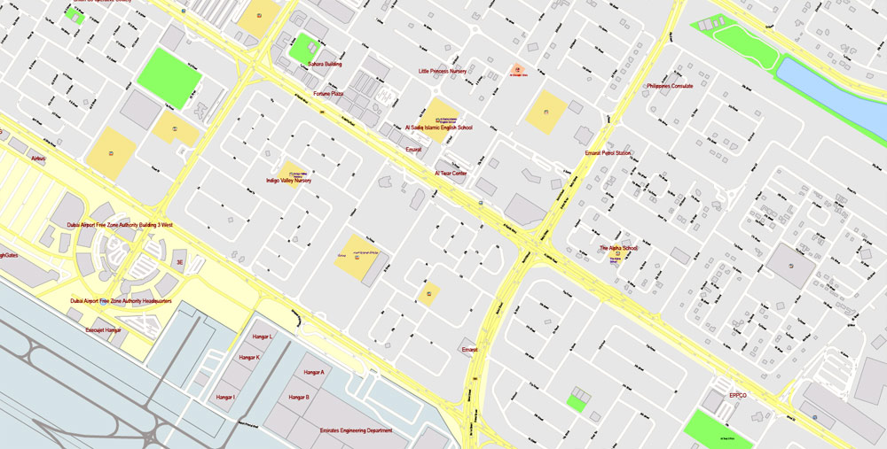
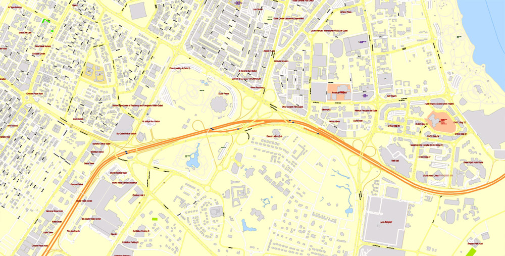
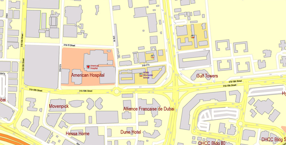
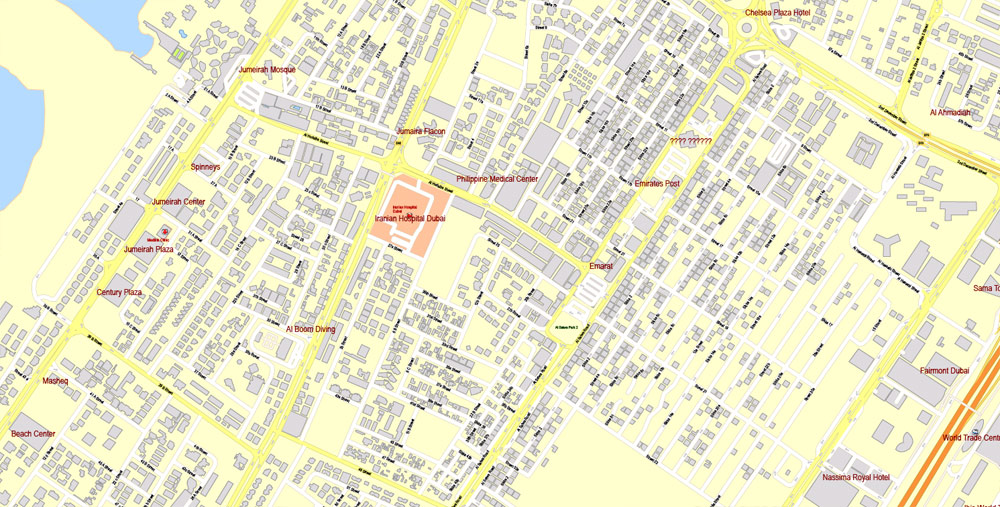
Printable Vector Map Dubai, UAE, exact City Plan + Principal Buildings, street G-View Level 17 (100 meters scale) map, fully editable, CorelDraw, full vector, scalable, editable text format of street names, 39 Mb ZIP.
All streets named, main objects, Principal buildings. Map for publishing, design, printing, publications, arts, projects, presentations, for architects, designers and builders, business, logistics. The most exact and detailed map of the city.
For printing LARGE (WALL) format
Separated layers: streets and roads, color_fills, road_labels, names_places, names_streets, names_objects, street arrows, objects, grids, buildings, names_buildings, legend.
DWG, DXF, ESRI Shapes, and other formats – by request, same price, please contact.
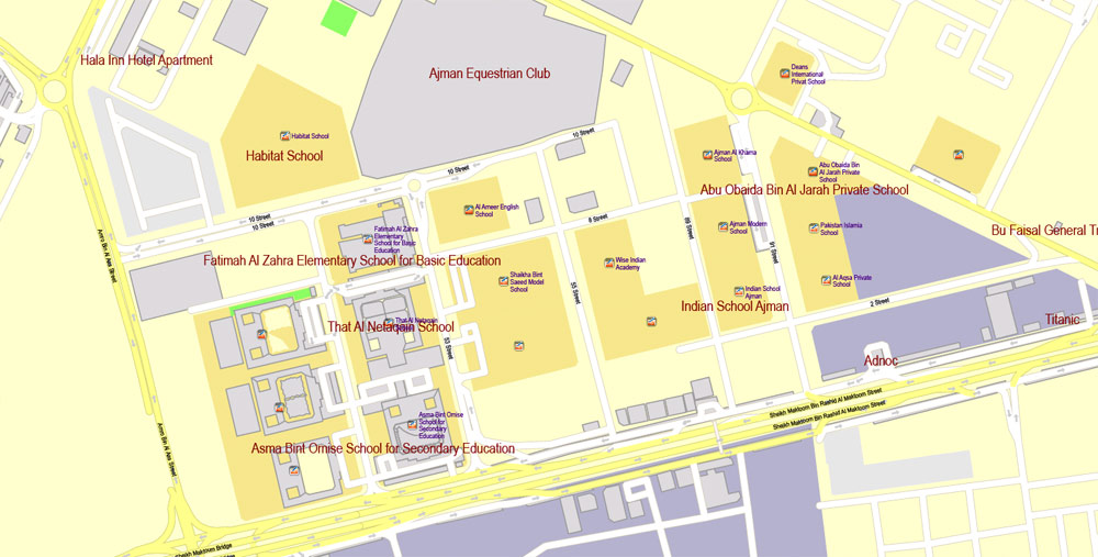
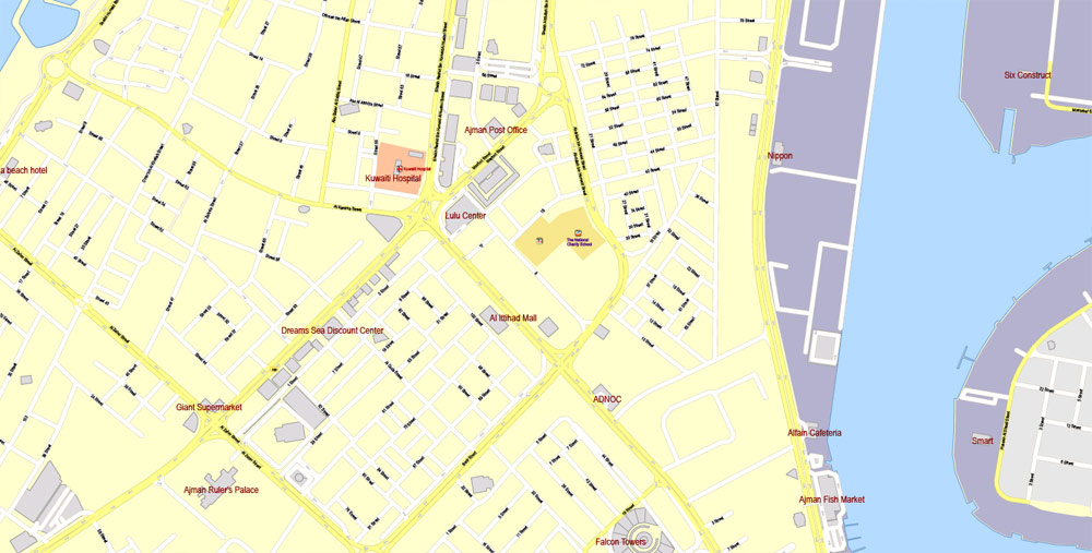
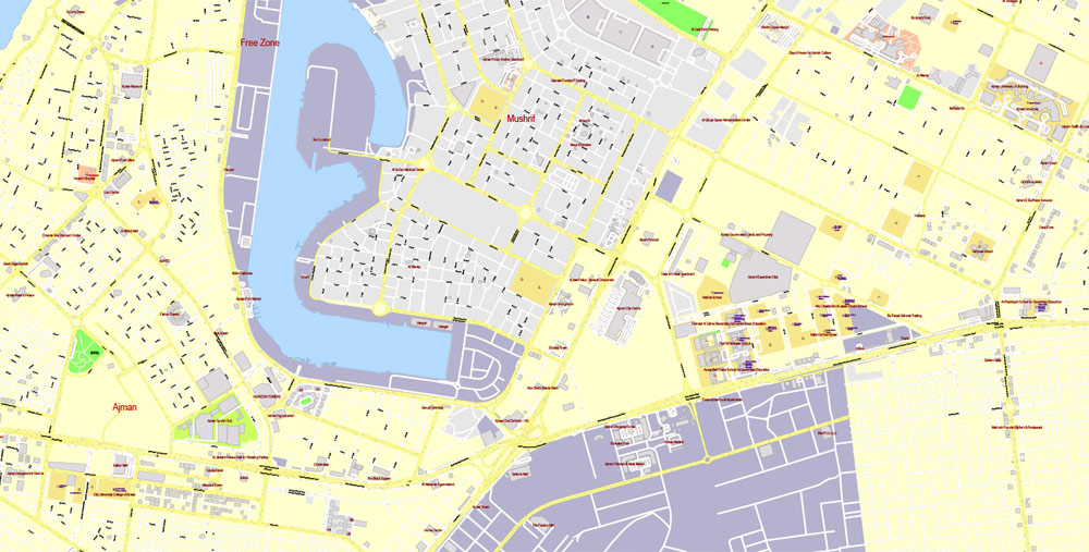
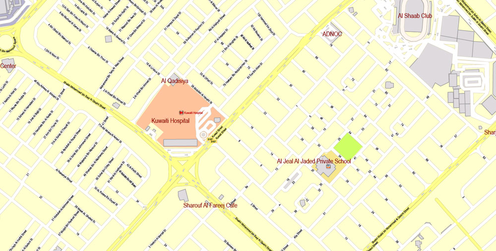
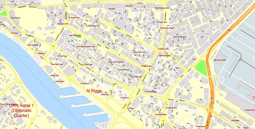
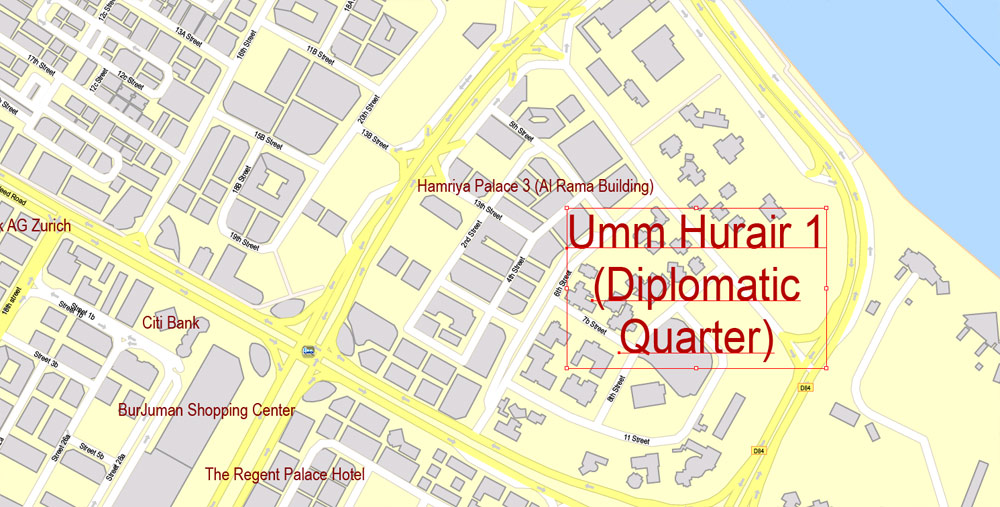
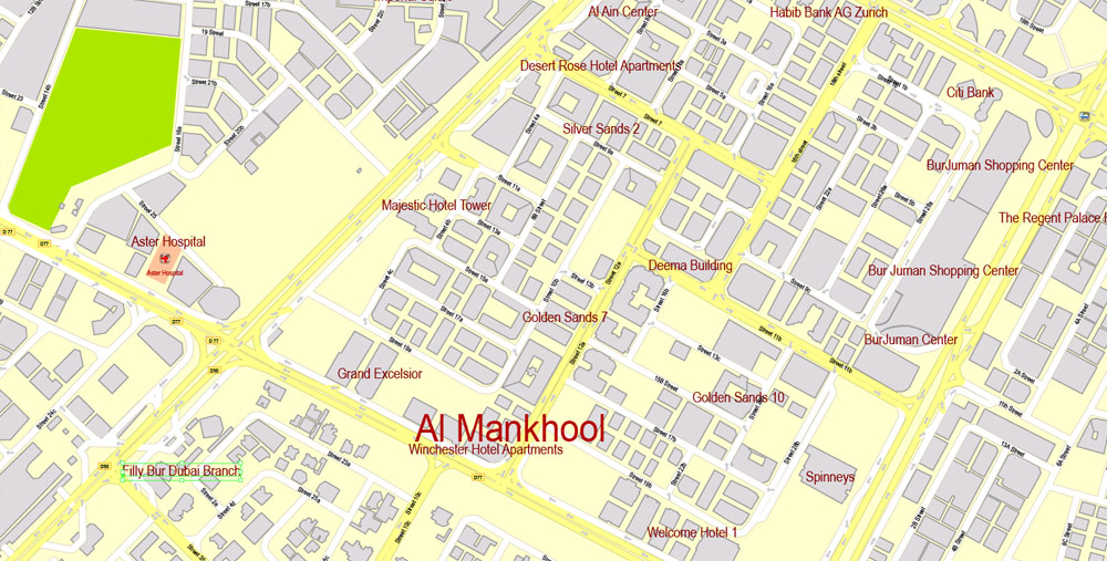
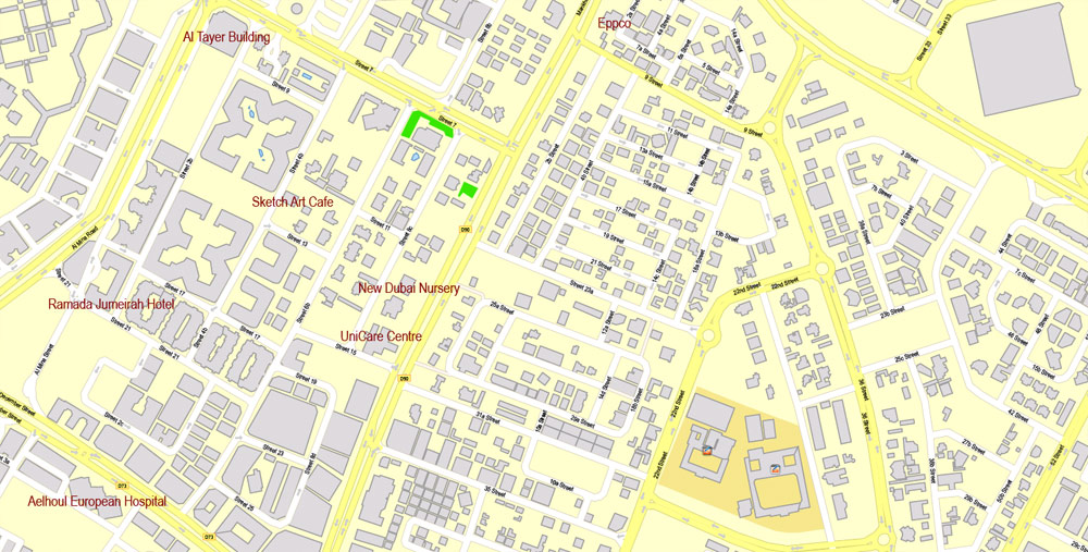
Dubai, United Arab Emirates.
This vector map of Dubai city is used as a basis for design, editing, and further printing.
This is the most detailed, exact map of Dubai city for high-quality printing and polygraphy. You can always clarify the map development date by contacting us.
For your convenience, all objects on Dubai vector city map are divided into layers. And the editing is very easy – colors, lines, etc.
You can easily add any objects needed (e.g. shops, salons, sale points, gas station or attraction) on any layer of Dubai vector map.
Dubai is the largest and most populous city in the United Arab Emirates (UAE). On the southeast coast of the Persian Gulf, it is the capital of the Emirate of Dubai, one of the seven emirates that make up the country.
Dubai is a global city and business hub of the Middle East. It is also a major global transport hub for passengers and cargo. Oil revenue helped accelerate the development of the city, which was already a major mercantile hub, but Dubai’s oil reserves are limited and production levels are low: today, less than 5% of the emirate’s revenue comes from oil. A growing centre for regional and international trade since the early 20th century, Dubai’s economy today relies on revenues from trade, tourism, aviation, real estate, and financial services.
One of the advantages of Dubai city vector maps of our production is the relevance of cartographic data, we constantly update all our products.
This vector map of Dubai city is used by:
designers, layout designers, printers, advertisers and architects. Our product – vector maps – is designed for further editing and printing in large formats – from @Wall format (a few meters) to A-0 and A-1, A-2, A-3.
The Dubai city map in vector format is used for design, urban planning, presentations and media visualizations.
The advertising and presentation map of Dubai city (usually the final designer marks the routes, and puts the client’s objects (shops, saloons, gas stations etc.)
The undoubted advantage is that people will NEVER throw out this advertising product – the map. In fact, as an advertising medium, a city map is the most “long-playing” of the well-known polygraphic advertising media, with the longest lifespan, and the maximum number of interactions with the customer.
For travelers, maps are sold at the airports and gas stations around the world. Often the source is our vector maps.
Take a look, who purchases our vector maps of Dubai city in “Our Clients and Friends” page – these are large and small companies, from super-brands like Volvo and Starbucks, to small design studios and printing houses.
It’s very easy to work with vector maps of Dubai city, even for a not very experienced designer who can turn on and off the map layers, add new objects, change the colors of fill and lines according to customer requirements.
The undoubted advantage of Dubai city vector maps in printing is an excellent and detailed visualization, when customer can expand a large paper map and instantly define his location, find a landmark, an object or address on map, unlike using the popular electronic formats of Google and Yandex maps for example.
Printable vector maps of Dubai city are much more convenient and efficient than any electronic maps on your smartphone, because ALL DETAILS are displayed in the entire space of Dubai city map.
Useful tips on working with vector maps of cities and countries in Adobe Illustrator.
«V» – launches the Selection tool (cursor, black arrow), which makes active any vector line.
«А» – launches the Direct Selection tool (white cursor), allows you to select curve elements and drag them to the desired place.
«R» – activates the Rotate tool, which helps you rotating selected objects around the center point by 360 degrees.
«E» – gives you the opportunity to use the Eraser tool and erase unnecessary parts.
«X» – switches between Fill and Stroke in the Tools section. Try to get used to this hot key and
you will quickly understand that you can’t live and work without it.
Guides are not limited to vertical and horizontal in Adobe Illustrator. You can also create a diagonal guide for example. Moreover, you can turn any contours into guides. Select the outline and go to View > Guides > Make Guides (Create Guides), or simply press Cmd/Ctrl + 5. You can also turn the guides back into an editable object. Go to menu, View > Guides > Unlock Guides (Release Guides), select the guide you want to edit and select View > Guides > Release Guides (Reset Guides), or just press Cmd/Ctrl + Option / Alt + 5).
You will probably want to change the color scheme used on our Dubai vector city map.
To quickly and effectively play with colors.
Of course, you can do it manually, all objects in our Dubai city vector map are divided according to types and layers, and you can easily change the color gamma of vector objects in groups and layers.
But there is more effective way of working with the whole VECTOR MAP of Dubai city and all layers:
The overview dialog «Edit colors»/«Repaint Graphic Object» (this dialog box name can change depending on the context):
If you have selected a part or a layer of Dubai city vector map and open the dialog box by clicking the icon in the Control panel, on the Samples palette or the Color Catalog, or if you choose Edit > Edit Colors> Repaint Graphic Object, then the «Repaint Graphic Object» dialog box appears, and you get access to «Assign» and «Edit» tabs.
If a picture or a map fragment is not selected, and you open the dialog box by clicking the icon in the Control panel, on the Samples palette or in the Color Catalog, the «Edit Colors» dialog box appears and you can only access the «Edit» tab.
Regardless of the name at the top of the dialog box, the right-hand side always displays the color group of the current document, as well as two default color groups: Print Color and Grayscale. These color groups can be selected and used any time.
Create and edit color groups of Dubai city vector map, and also assign colors using the «Edit Colors»/ а «Repaint Graphic Object» dialog box.
A. Creating and editing of a color group on the «Edit» tab
B. Assigning colors on the «Assign» tab
C. Select a group of colors from the «Color groups» list
The option «Repaint a graphic object» in the lower part of the dialog box allows you to preview the colors on a selected layer of Vector map, or a group of elements, and specify whether its colors will be redefined when the dialog box is closed.
Dubai has attracted world attention through large construction projects and sports events, in particular the world’s tallest building, the Burj Khalifa. Companies in Dubai have in the past been criticised for human rights violations against labourers.
The main areas of the dialog box are:
«Edit»
The «Edit» tab is designed to create a new or edit the existing color groups.
The harmony rules Menu and the Color Wheel are used to conduct experiments with color harmonies. The color wheel shows how colors are related in color harmony, and the color bars allow you to view and manipulate an individual color values. In addition, you can adjust the brightness, add and remove colors, save color groups and view colors on the selected Vector Map of Dubai city or a separated layers.
«Assign»
The «Assign» tab is used to view and control on how the original colors are replaced with colors from the color group like your corporate colors in the Vector Map of Dubai city.
The assign color ability is provided only if the entire map, layer or fragment is selected in the document. You can specify which of new colors replace the current colors, whether the spot colors should be preserved and how colors are replaced (for example, you can replace colors completely or changing the color tone while maintaining the brightness). The «Assign» tab allows you to redefine colors in the Vector Map of Dubai city, or in separate layers and fragments using the current color group or reducing the number of colors in the current Vector Map.
Color groups
Is a list of all saved color groups for current document (the same groups appear in the «Samples» palette). You can edit and delete the existing color groups, as well as creating a new ones using the list of “Color Groups” in the dialog box. All changes appear in the «Samples» palette.
The highlighted color group shows, which color group is currently edited.
Any color group can be selected and edited, or used to redefine the colors in the selected vector map of Dubai city, its fragments or elements.
Saving a color group adds this group to the specified list.
Opening the «Edit Colors»/«Repaint Graphic Object» dialog box.
Open the «Edit Colors»/«Repaint Graphic Object» dialog box using one of the following methods:
«Edit»> «Edit Colors»> «Repaint Graphic object» or «Repaint With Style».
Use these commands if you need to edit the colors in the selected vector map of Dubai city.
«Repaint Graphic object» button on the «Control» panel.
Use this button if you need to adjust colors of Dubai city vector map using the а «Repaint graphic object» dialog box.
The specified button is available if the selected vector map or its fragment contains two or more colors.
Note. This color editing method is convenient for global color adjustment in a vector map, if global colors were not used when creating a City Map of Dubai.
The «Edit colors» button or «Edit or apply colors» on the «Color Catalog» palette
Click this button if you need to edit colors on the «Color Catalog» palette or edit and then apply them to the selected Vector Map of Dubai city or its fragment.
The «Edit color group» button or «Edit or apply color group» on the «Samples» palette.
Click this button if you need to edit the colors in the specific color group or edit and apply them to the selected Vector Map of Dubai city or a group of its elements, for example, the whole layer “Streets and lines”. You can also double-click the color group in the Samples panel to open the dialog box.
If the map file is too large and your computer freezes or even can’t open it quickly:
1. Try to reduce the color resolution of the video card (display) to 256 colors while working with a large map.
2. Using Windows Task Manager, select all the application you don’t need, while working with map, just turn them off.
3. Launch Adobe Illustrator. (DO NOT OPEN the vector map file)
4. Start the Windows Task Manager using administrator rights > Find the “Illustrator” process > set the «real time» priority,
5. Open the file. When you see the LEGACY FONT popup window – click “OK” (do not update). You can restore the TEXT later.
6. Can also be useful: When file is opened – Edit > Settings > Basic Settings > disable smoothing. /// It looks scary, but works quickly)))
We recommend saving the file in Adobe Illustrator 10 version. It’s much more stable when working with VERY BIG size files.
As of 2012, Dubai was the most expensive city in the Middle East. In 2014, Dubai’s hotel rooms were rated as the second most expensive in the world.
Geography
Dubai is situated on the Persian Gulf coast of the United Arab Emirates and is roughly at sea level (16 m or 52 ft above). The emirate of Dubai shares borders with Abu Dhabi in the south, Sharjah in the northeast, and the Sultanate of Oman in the southeast. Hatta, a minor exclave of the emirate, is surrounded on three sides by Oman and by the emirates of Ajman (in the west) and Ras Al Khaimah (in the north). The Persian Gulf borders the western coast of the emirate. Dubai is positioned at 25.2697°N 55.3095°E and covers an area of 1,588 sq mi (4,110 km2), which represents a significant expansion beyond its initial 1,500 sq mi (3,900 km2) designation due to land reclamation from the sea.
Dubai lies directly within the Arabian Desert. However, the topography of Dubai is significantly different from that of the southern portion of the UAE in that much of Dubai’s landscape is highlighted by sandy desert patterns, while gravel deserts dominate much of the southern region of the country. The sand consists mostly of crushed shell and coral and is fine, clean and white. East of the city, the salt-crusted coastal plains, known as sabkha, give way to a north-south running line of dunes. Farther east, the dunes grow larger and are tinged red with iron oxide.
The flat sandy desert gives way to the Western Hajar Mountains, which run alongside Dubai’s border with Oman at Hatta. The Western Hajar chain has an arid, jagged and shattered landscape, whose mountains rise to about 1,300 metres (4,265 feet) in some places. Dubai has no natural river bodies or oases; however, Dubai does have a natural inlet, Dubai Creek, which has been dredged to make it deep enough for large vessels to pass through. Dubai also has multiple gorges and waterholes, which dot the base of the Western Al Hajar mountains.
A vast sea of sand dunes covers much of southern Dubai and eventually leads into the desert known as The Empty Quarter. Seismically, Dubai is in a very stable zone—the nearest seismic fault line, the Zagros Fault, is 200 kilometres (124 miles) from the UAE and is unlikely to have any seismic impact on Dubai. Experts also predict that the possibility of a tsunami in the region is minimal because the Persian Gulf waters are not deep enough to trigger a tsunami.
The sandy desert surrounding the city supports wild grasses and occasional date palms. Desert hyacinths grow in the sabkha plains east of the city, while acacia and ghaf trees grow in the flat plains within the proximity of the Western Al Hajar mountains. Several indigenous trees such as the date palm and neem as well as imported trees such as the eucalypts grow in Dubai’s natural parks. The houbara bustard, striped hyena, caracal, desert fox, falcon and Arabian oryx are common in Dubai’s desert.
Dubai is on the migration path between Europe, Asia and Africa, and more than 320 migratory bird species pass through the emirate in spring and autumn. The waters of Dubai are home to more than 300 species of fish, including the hammour. The typical marine life off the Dubai coast includes tropical fish, jellyfish, coral, dugong, dolphins, whales and sharks. Various types of turtles can also be found in the area including the hawksbill turtle and green turtle, which are listed as endangered species.
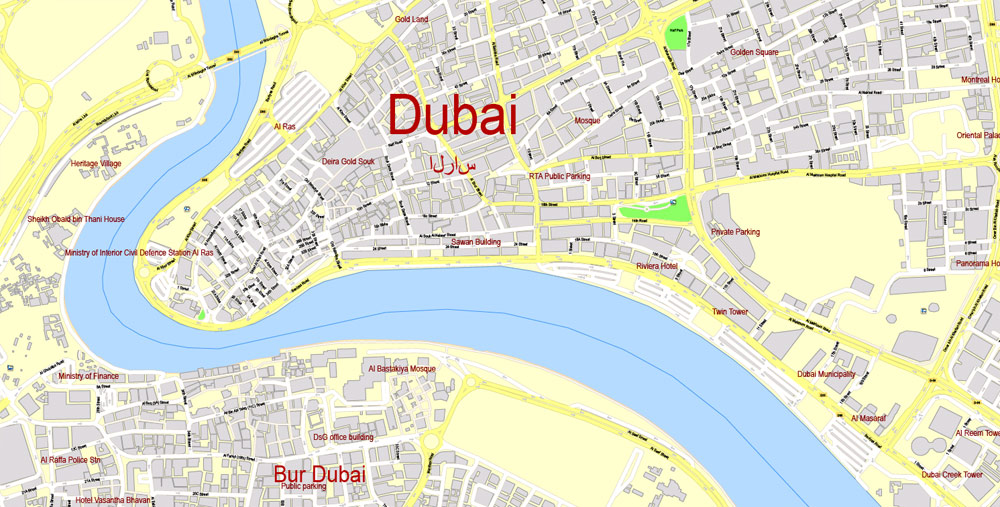
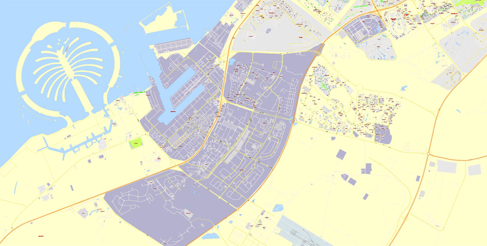
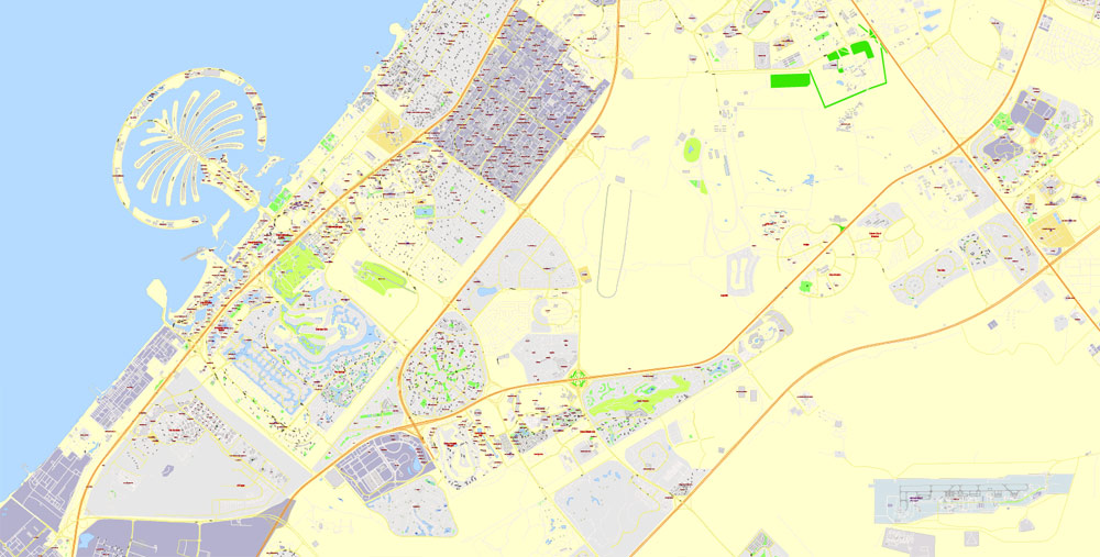
Dubai Creek runs northeast-southwest through the city. The eastern section of the city forms the locality of Deira and is flanked by the emirate of Sharjah in the east and the town of Al Aweer in the south. The Dubai International Airport is located south of Deira, while the Palm Deira is located north of Deira in the Persian Gulf. Much of Dubai’s real-estate boom is concentrated to the west of Dubai Creek, on the Jumeirah coastal belt. Port Rashid, Jebel Ali, Burj Al Arab, the Palm Jumeirah and theme-based free-zone clusters such as Business Bay are all located in this section. Dubai is notable for sculpted artificial island complexes including the Palm Islands and The World archipelago.

Dubai
City in the United Arab Emirates
Dubai is a city and emirate in the United Arab Emirates known for luxury shopping, ultramodern architecture and a lively nightlife scene. Burj Khalifa, an 830m-tall tower, dominates the skyscraper-filled skyline. At its foot lies Dubai Fountain, with jets and lights choreographed to music. On artificial islands just offshore is Atlantis, The Palm, a resort with water and marine-animal parks.
Area
• Total 1,287.4 km2 (497.1 sq mi)
Population
• Total 2,788,929
• Nationalities:
43.3% Indian
23% Emirati
17% Pakistani
7.5% Bangladeshi
4.2% Filipino
1.5% Sri Lankan
0.3% American
5.2% other countries
Free vector maps:

Free download printable map Europe vector Adobe Illustrator >>>
Free download printable PDF map Europe vector Adobe PDF >>>
Small guide: How to work with the vector map?
You can: Mass select objects by type and color – for example, the objects type “building” (they are usually dark gray) – and remove them from the map, if you do not need them in your print or design project. You can also easily change the thickness of lines (streets), just bulk selection the road by the line color.
The streets are separated by type, for example, type “residential road” are usually white with a gray stroke. Highway usually orange with a brown or dark gray stroke.
It is easy to change the font of inscriptions, all or each individually. Also, just can be make and any other manipulation of objects on the vector map in Adobe illustrator format.
Important: All the proportions on the map are true, that is, the relative sizes of the objects are true, because Map is based on an accurate GPS projection, and It transated into the (usual for all) the Mercator projection.
You can easily change the color, stroke and fill of any object on the map, zoom without loss of quality Image Verification.
Select object

Bulk selection the same objects on the vector map

See the bulk selected objects on the vector map

Bulk delete buildungs from the vector map

Select residencial road (small street) on the vector map

Bulk selection the same lines (streets, roads) on the full map

Create fat lines of the streets on the vector maps (bulk action) 1

Create fat lines of the streets on the vector maps (bulk action) 2

Create fat lines of the streets on the vector maps (bulk action) 3

You can easily change the color, stroke and fill of any object on the map, zoom without loss of quality Image Verification.

 Author: Kirill Shrayber, Ph.D. FRGS
 map, fully editable, CorelDraw")