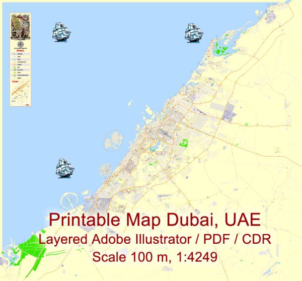
Dubai, United Arab Emirates, is a bustling and modern city with a well-planned road network. Here are descriptions of some of the principal streets and highways in Dubai:
- Sheikh Zayed Road (E11): This is Dubai’s main north-south highway and one of the busiest roads in the city. It stretches for about 55 kilometers, running parallel to the coastline, and is lined with skyscrapers, including the iconic Burj Khalifa. Sheikh Zayed Road is known for its multiple lanes, and it connects many important areas of the city.
- Al Wasl Road: Al Wasl Road is a key arterial road running east to west, connecting Jumeirah and Umm Suqeim areas. It offers access to several upscale residential neighborhoods and commercial districts.
- Jumeirah Beach Road: This picturesque road runs parallel to the coastline, offering stunning views of the Persian Gulf. It provides access to the popular Jumeirah Beach area, residential neighborhoods, and various hotels and resorts.
- Al Khail Road (E44): Al Khail Road is a major highway running through the city, connecting various neighborhoods, including Business Bay, Jumeirah Village, and Dubai Silicon Oasis. It also provides a convenient route to the Dubai International Airport.
- Al Sufouh Road (E44): This road connects the Palm Jumeirah to Dubai Marina and Jumeirah Beach Residence, providing access to many luxurious beachfront developments.
- Dubai-Al Ain Road (E66): Also known as Emirates Road, this road links Dubai with Al Ain and other emirates. It’s a major expressway with several lanes, facilitating transportation to the eastern regions of the UAE.
- Al Maktoum Street: This road runs through the historic areas of Dubai, including Deira and Bur Dubai. It provides access to the Dubai Creek and the old souks, making it a hub for trade and traditional markets.
- Hessa Street: Hessa Street is a crucial road for those residing in the Dubai Sports City and Motor City areas. It also connects to the Sheikh Mohammed bin Zayed Road, making it easier to access other parts of the city.
- Umm Suqeim Road: This road connects the Umm Suqeim area with Sheikh Zayed Road, making it a vital link for residents and visitors alike.
- Mohammed bin Rashid Boulevard: Located in the heart of Downtown Dubai, this boulevard surrounds the Burj Khalifa and the Dubai Mall. It’s a vibrant, pedestrian-friendly street with numerous shops, restaurants, and entertainment options.
Dubai’s road network is constantly evolving and expanding to accommodate the city’s rapid growth and development. These principal streets play a crucial role in connecting various neighborhoods, landmarks, and business districts throughout the city.


 Author: Kirill Shrayber, Ph.D.