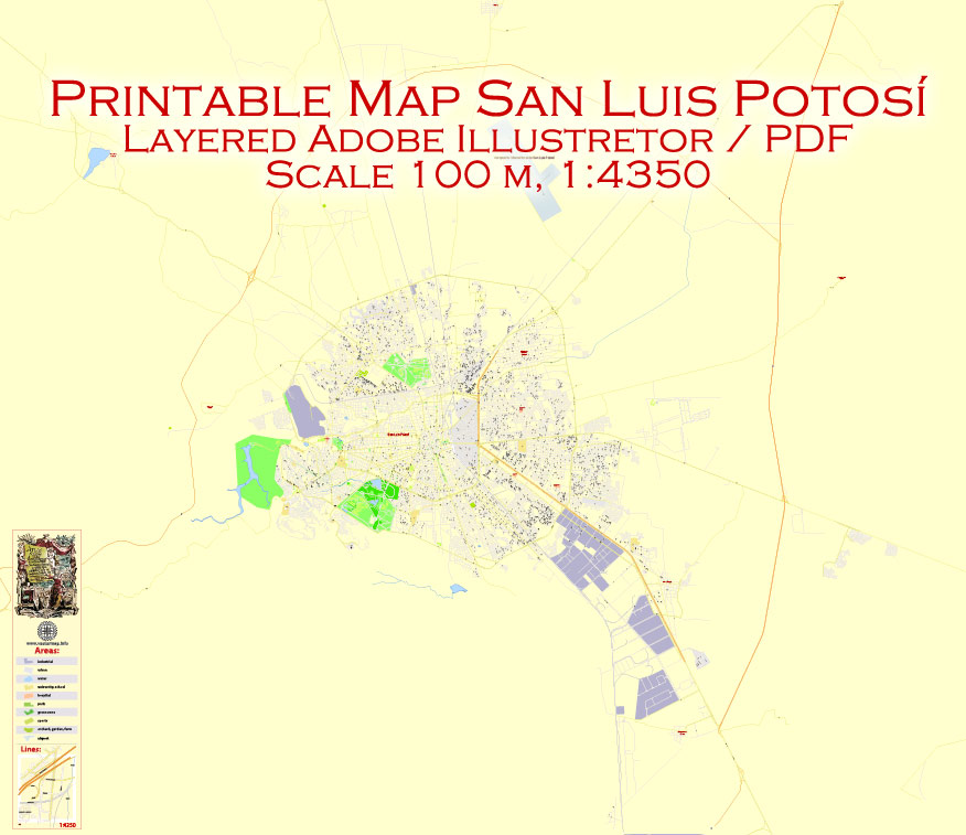
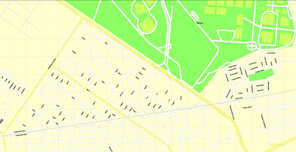
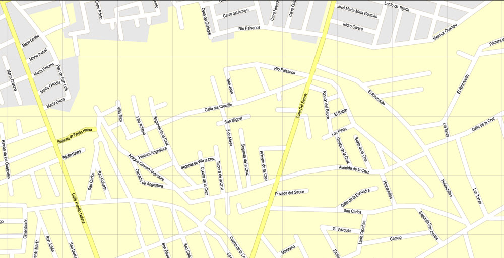
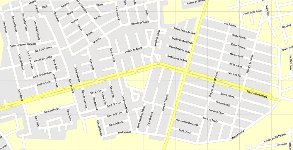
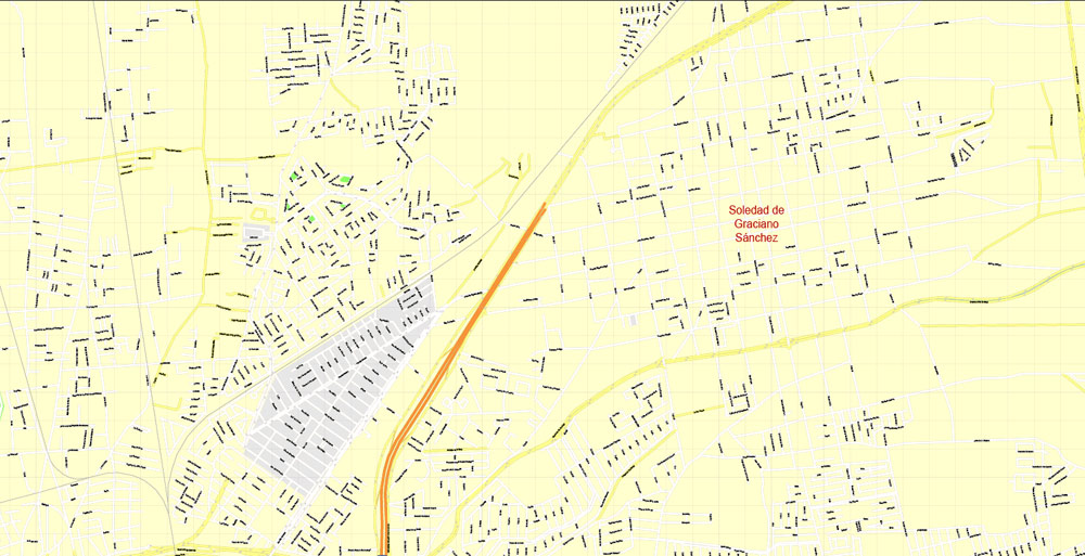
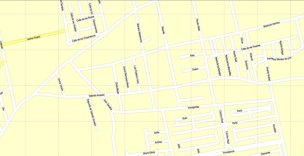
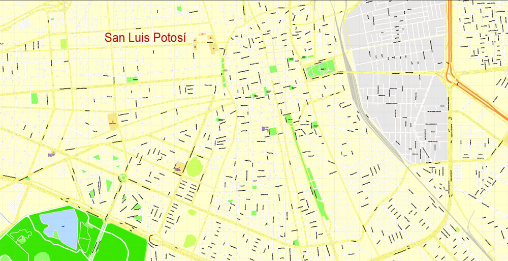
Printable PDF Map San Luis Potosi, Mexico exact vector Map street G-View City Plan Level 17 (100 meters scale) full editable, Adobe PDF, full vector, scalable, editable text format street names, 20 mb ZIP
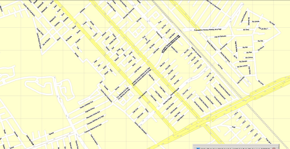
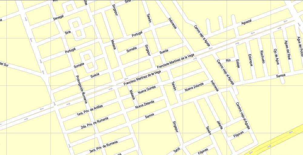
All streets named, Main Objects, NO buildings. Map for design, printing, arts, projects, presentations, for architects, designers and builders, business, logistics.
Layers: color fills, streets_roads, arrows_streets, labels_roads, objects, names objects, names_streets, names_places, grids, legend.
The most exact and detailed map of the city.
For print LARGE (WALL) format.
You can edit this file by Adobe Illustrator, Adobe Acrobat, Corel Draw.
DWG, DXF, CDR and other formats – on request, same price, please, contact
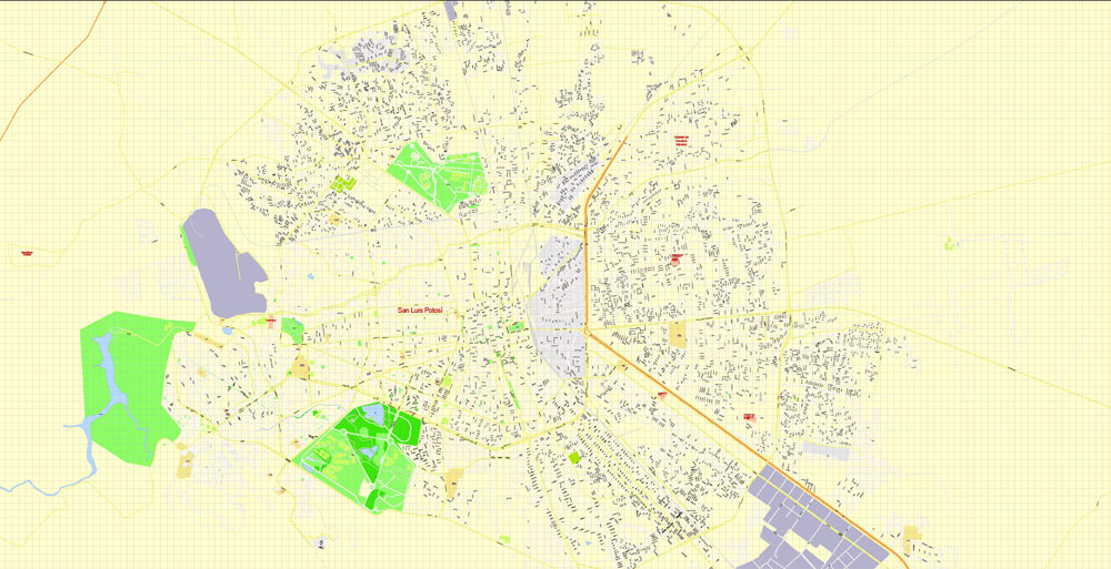
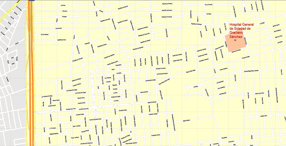
San Luis Potosi, Mexico.
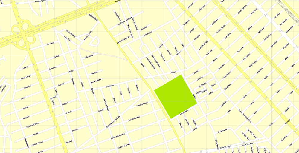
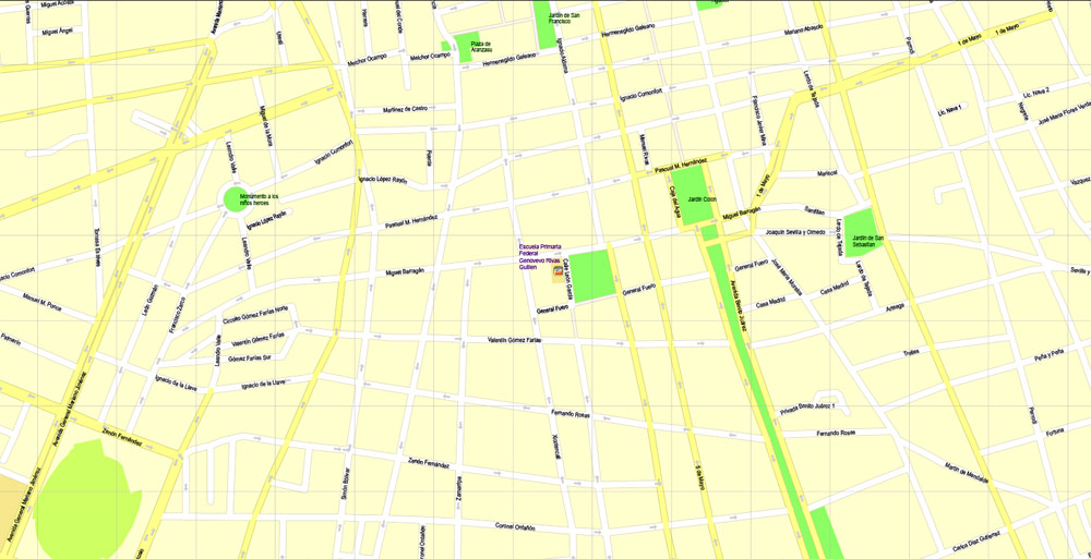
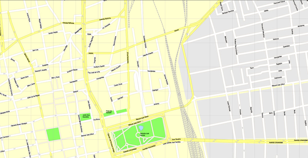
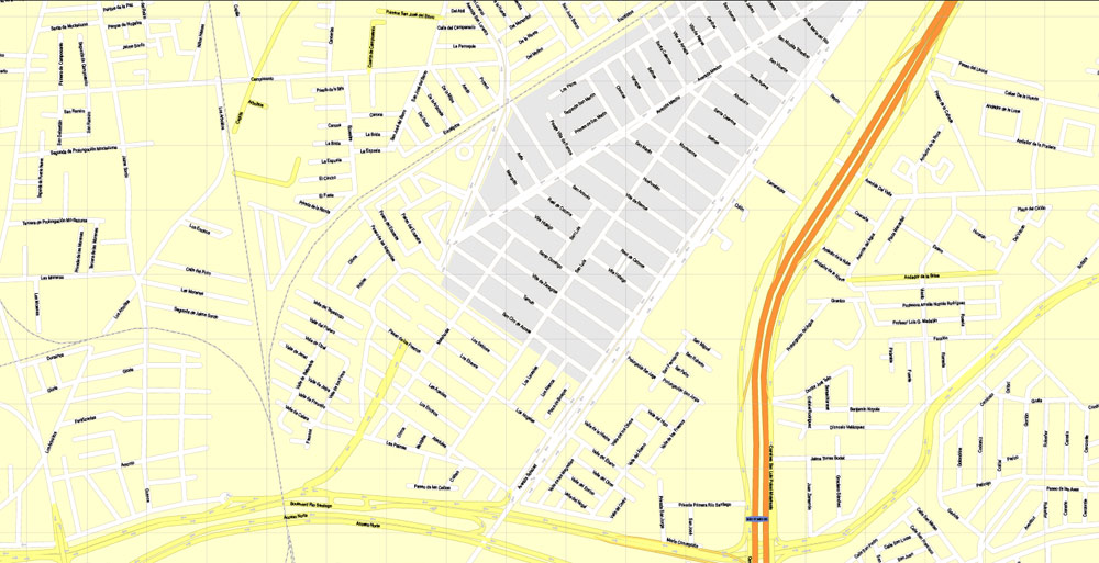
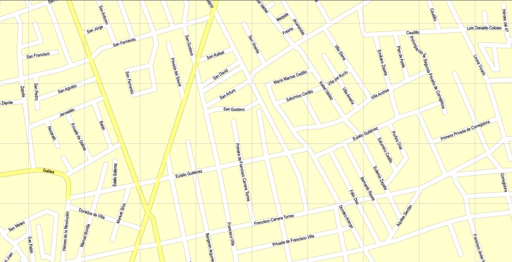
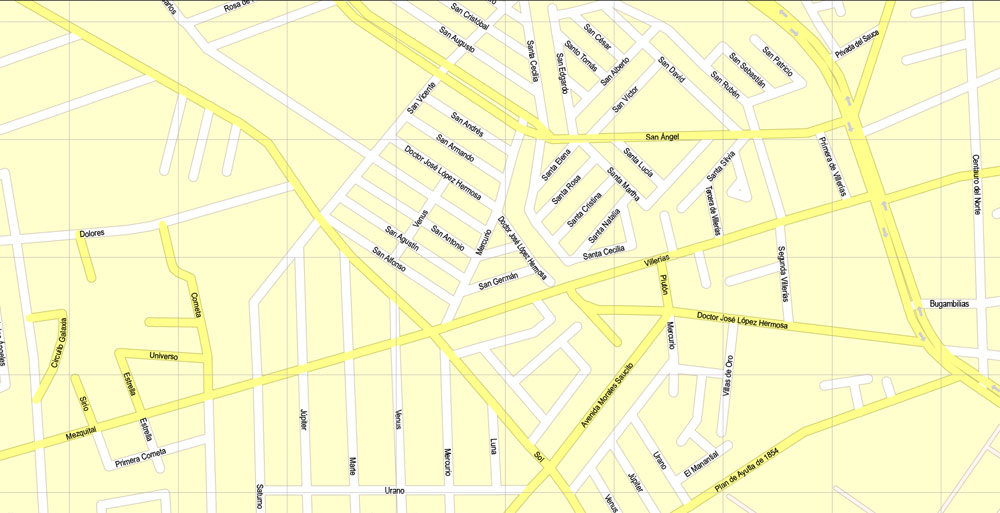
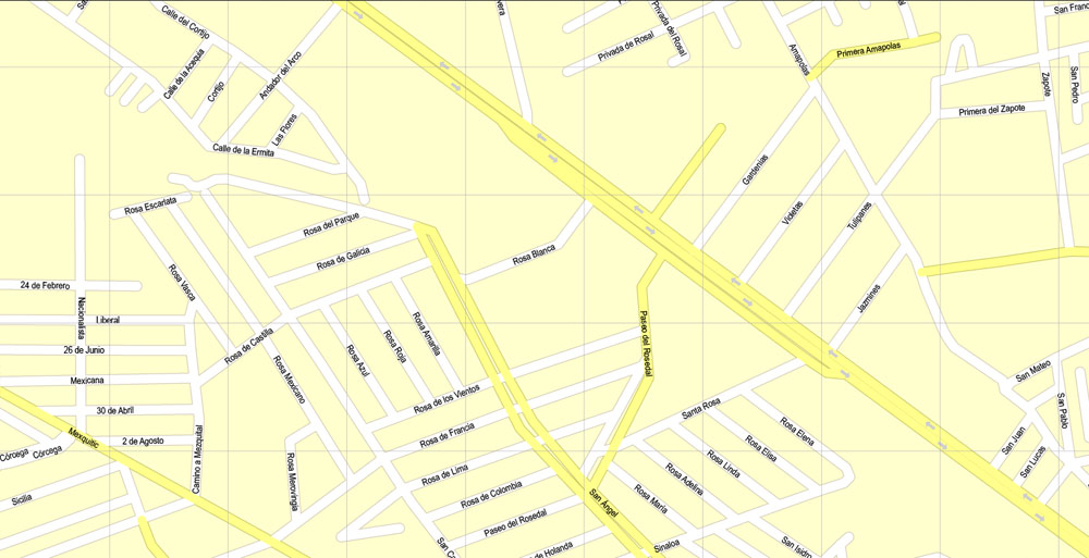
This vector map of San Luis Potosi city is used as a basis for design, editing, and further printing.
This is the most detailed, exact map of San Luis Potosi city for high-quality printing and polygraphy. You can always clarify the map development date by contacting us.
For your convenience, all objects on San Luis Potosi vector city map are divided into layers. And the editing is very easy – colors, lines, etc.
You can easily add any objects needed (e.g. shops, salons, sale points, gas station or attraction) on any layer of San Luis Potosi vector map.
San Luis Potosí is one of the 31 states which, with the Federal District, comprise the 32 Federal Entities of Mexico. It is divided in 58 municipalities and its capital city is San Luis Potosí City.
One of the advantages of San Luis Potosi city vector maps of our production is the relevance of cartographic data, we constantly update all our products.
This vector map of San Luis Potosi city is used by:
designers, layout designers, printers, advertisers and architects. Our product – vector maps – is designed for further editing and printing in large formats – from @Wall format (a few meters) to A-0 and A-1, A-2, A-3.
The San Luis Potosi city map in vector format is used for design, urban planning, presentations and media visualizations.
The advertising and presentation map of San Luis Potosi city (usually the final designer marks the routes, and puts the client’s objects (shops, saloons, gas stations etc.)
The undoubted advantage is that people will NEVER throw out this advertising product – the map. In fact, as an advertising medium, a city map is the most “long-playing” of the well-known polygraphic advertising media, with the longest lifespan, and the maximum number of interactions with the customer.
For travelers, maps are sold at the airports and gas stations around the world. Often the source is our vector maps.
Take a look, who purchases our vector maps of San Luis Potosi city in “Our Clients and Friends” page – these are large and small companies, from super-brands like Volvo and Starbucks, to small design studios and printing houses.
It’s very easy to work with vector maps of San Luis Potosi city, even for a not very experienced designer who can turn on and off the map layers, add new objects, change the colors of fill and lines according to customer requirements.
The undoubted advantage of San Luis Potosi city vector maps in printing is an excellent and detailed visualization, when customer can expand a large paper map and instantly define his location, find a landmark, an object or address on map, unlike using the popular electronic formats of Google and Yandex maps for example.
Printable vector maps of San Luis Potosi city are much more convenient and efficient than any electronic maps on your smartphone, because ALL DETAILS are displayed in the entire space of San Luis Potosi city map.
Useful tips on working with vector maps of cities and countries in Adobe Illustrator.
«V» – launches the Selection tool (cursor, black arrow), which makes active any vector line.
«А» – launches the Direct Selection tool (white cursor), allows you to select curve elements and drag them to the desired place.
«R» – activates the Rotate tool, which helps you rotating selected objects around the center point by 360 degrees.
«E» – gives you the opportunity to use the Eraser tool and erase unnecessary parts.
«X» – switches between Fill and Stroke in the Tools section. Try to get used to this hot key and
you will quickly understand that you can’t live and work without it.
Guides are not limited to vertical and horizontal in Adobe Illustrator. You can also create a diagonal guide for example. Moreover, you can turn any contours into guides. Select the outline and go to View > Guides > Make Guides (Create Guides), or simply press Cmd/Ctrl + 5. You can also turn the guides back into an editable object. Go to menu, View > Guides > Unlock Guides (Release Guides), select the guide you want to edit and select View > Guides > Release Guides (Reset Guides), or just press Cmd/Ctrl + Option / Alt + 5).
You will probably want to change the color scheme used on our San Luis Potosi vector city map.
It is located in North-Central Mexico. It is bordered by 8 other Mexican states, making it the state with the most borders with other neighboring states. The northern borders are with Nuevo León and Coahuila; the northeastern one with Tamaulipas; the eastern one with Veracruz; the southern ones with Hidalgo, Querétaro, Guanajuato and (state) Aguascalientes; and the northwestern one with Zacatecas.
In addition to the capital city, the state’s largest cities include Ciudad Valles, Matehuala, Rioverde, and Tamazunchale.
To quickly and effectively play with colors.
Of course, you can do it manually, all objects in our San Luis Potosi city vector map are divided according to types and layers, and you can easily change the color gamma of vector objects in groups and layers.
But there is more effective way of working with the whole VECTOR MAP of San Luis Potosi city and all layers:
The overview dialog «Edit colors»/«Repaint Graphic Object» (this dialog box name can change depending on the context):
If you have selected a part or a layer of San Luis Potosi city vector map and open the dialog box by clicking the icon in the Control panel, on the Samples palette or the Color Catalog, or if you choose Edit > Edit Colors> Repaint Graphic Object, then the «Repaint Graphic Object» dialog box appears, and you get access to «Assign» and «Edit» tabs.
If a picture or a map fragment is not selected, and you open the dialog box by clicking the icon in the Control panel, on the Samples palette or in the Color Catalog, the «Edit Colors» dialog box appears and you can only access the «Edit» tab.
Regardless of the name at the top of the dialog box, the right-hand side always displays the color group of the current document, as well as two default color groups: Print Color and Grayscale. These color groups can be selected and used any time.
Create and edit color groups of San Luis Potosi city vector map, and also assign colors using the «Edit Colors»/ а «Repaint Graphic Object» dialog box.
A. Creating and editing of a color group on the «Edit» tab
B. Assigning colors on the «Assign» tab
C. Select a group of colors from the «Color groups» list
The option «Repaint a graphic object» in the lower part of the dialog box allows you to preview the colors on a selected layer of Vector map, or a group of elements, and specify whether its colors will be redefined when the dialog box is closed.

The main areas of the dialog box are:
«Edit»
The «Edit» tab is designed to create a new or edit the existing color groups.
The harmony rules Menu and the Color Wheel are used to conduct experiments with color harmonies. The color wheel shows how colors are related in color harmony, and the color bars allow you to view and manipulate an individual color values. In addition, you can adjust the brightness, add and remove colors, save color groups and view colors on the selected Vector Map of San Luis Potosi city or a separated layers.
«Assign»
The «Assign» tab is used to view and control on how the original colors are replaced with colors from the color group like your corporate colors in the Vector Map of San Luis Potosi city.
The assign color ability is provided only if the entire map, layer or fragment is selected in the document. You can specify which of new colors replace the current colors, whether the spot colors should be preserved and how colors are replaced (for example, you can replace colors completely or changing the color tone while maintaining the brightness). The «Assign» tab allows you to redefine colors in the Vector Map of San Luis Potosi city, or in separate layers and fragments using the current color group or reducing the number of colors in the current Vector Map.
Color groups
Is a list of all saved color groups for current document (the same groups appear in the «Samples» palette). You can edit and delete the existing color groups, as well as creating a new ones using the list of “Color Groups” in the dialog box. All changes appear in the «Samples» palette.
The highlighted color group shows, which color group is currently edited.
Any color group can be selected and edited, or used to redefine the colors in the selected vector map of San Luis Potosi city, its fragments or elements.
Saving a color group adds this group to the specified list.
Opening the «Edit Colors»/«Repaint Graphic Object» dialog box.
Open the «Edit Colors»/«Repaint Graphic Object» dialog box using one of the following methods:
«Edit»> «Edit Colors»> «Repaint Graphic object» or «Repaint With Style».
Geography
The state lies mostly on the Mexican Plateau, with the exception of the eastern part of the state, where the tableland breaks down into the tropical valley of the Tampaon River (which continues flowing northwestward until it becomes the Pánuco River, which divides San Luis Potosí from the north-eastern state of Tamaulipas). The surface of the plateau is comparatively level, with some low mountainous wooded ridges. The Sierra Madre Oriental runs north and south through the state, and separates the Mexican Plateau from the Gulf Coastal Plain to the east. The Sierra Madre Oriental is home to the Sierra Madre Oriental pine-oak forests. The easternmost portion of the state lies on the Gulf Coastal Plain, and covered by the Veracruz moist forests. The eastern part is included in the region commonly referred to as “La Huasteca”.
Use these commands if you need to edit the colors in the selected vector map of San Luis Potosi city.
«Repaint Graphic object» button on the «Control» panel.
Use this button if you need to adjust colors of San Luis Potosi city vector map using the а «Repaint graphic object» dialog box.
The specified button is available if the selected vector map or its fragment contains two or more colors.
Note. This color editing method is convenient for global color adjustment in a vector map, if global colors were not used when creating a City Map of San Luis Potosi.
The «Edit colors» button or «Edit or apply colors» on the «Color Catalog» palette
Click this button if you need to edit colors on the «Color Catalog» palette or edit and then apply them to the selected Vector Map of San Luis Potosi city or its fragment.
The «Edit color group» button or «Edit or apply color group» on the «Samples» palette.
Click this button if you need to edit the colors in the specific color group or edit and apply them to the selected Vector Map of San Luis Potosi city or a group of its elements, for example, the whole layer “Streets and lines”. You can also double-click the color group in the Samples panel to open the dialog box.
If the map file is too large and your computer freezes or even can’t open it quickly:
1. Try to reduce the color resolution of the video card (display) to 256 colors while working with a large map.
2. Using Windows Task Manager, select all the application you don’t need, while working with map, just turn them off.
3. Launch Adobe Illustrator. (DO NOT OPEN the vector map file)
4. Start the Windows Task Manager using administrator rights > Find the “Illustrator” process > set the «real time» priority,
5. Open the file. When you see the LEGACY FONT popup window – click “OK” (do not update). You can restore the TEXT later.
6. Can also be useful: When file is opened – Edit > Settings > Basic Settings > disable smoothing. /// It looks scary, but works quickly)))
We recommend saving the file in Adobe Illustrator 10 version. It’s much more stable when working with VERY BIG size files.
The Tampaón river and its tributaries drain the southern and southeastern portion of the state. The northern and central portion of the state, including the capital, lie on an interior drainage basin which does not drain to the sea.
The mean elevation is about 6,000 ft ensuring a temperate climate for the most part. The state lies partly within the arid zone of the north, while the southern half receiving a more liberal rainfall through the influence of the Nortes, which deliver significant amounts of rain. The rainfall, however, is uncertain at the western and northern regions, and much of the state does not have major rivers. The soil is fertile and in favorable seasons large crops of wheat, maize, beans and cotton are grown on the uplands. In the low tropical valleys, sugar, coffee, tobacco, peppers and fruit are staple products. Stockraising is an important industry and hides, tallow and wool are exported. Fine cabinet and construction woods are also made and exported to a limited extent.
Potosí (in Bolivia) was ´believed´ to have enough gold to build a bridge between Potosí and Spain. San Luis Potosí was compared to it upon the discovery of the mines and therefore named after it.
At one time San Luis Potosí ranked among the leading mining provinces of Mexico, but the revolts following independence resulted in a great decline in that industry. The area around Real de Catorce has some of the richest silver mines in the country. Other well-known silver mining districts are Peñón Blanco, Ramos and Guadalcázar. The development of Guadalcazar dates from 1620 and its ores yield gold, copper, zinc and bismuth, as well as silver. In the Ramos district, the Cocinera lode was said to have had a total yield of over $60,000,000 in the first decade of the 20th century.
San Luis Potosí
City in Mexico
San Luis Potosí is a city in central Mexico. It was a major gold and silver mining hub on the Camino Real de Tierra Adentro, a trade route during the mid-16th to the 19th centuries. It’s known for colonial buildings, like the imposing, baroque-era Templo de San Francisco, which dominates the lush Jardín de San Francisco. Nearby, the 18th-century Templo del Carmen features an ornately carved facade.
Area
• Total 61,137 km2 (23,605 sq mi)
Highest elevation 3,180 m (10,430 ft)
Population
• Total 2,717,820
• Rank 19th
• Density 44/km2 (120/sq mi)
Free vector map World, Adobe Illustrator, download now maps vector clipart
Map for design, projects, presentation free to use as you like.
See also: TERMS & CONDITIONS: SOFTWARE LICENSE AGREEMENT FOR DIGITAL CARTOGRAPHIC DATA.
Need more USA Vector Maps, printable and editable?

 Author: Kirill Shrayber, Ph.D. FRGS
 full editable, Adobe Illustrator")