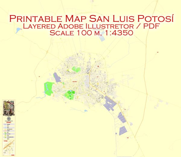
Vector Maps of the San Luis Potosí : city in central Mexico. It was a major gold and silver mining hub on the Camino Real de Tierra Adentro, a trade route during the mid-16th to the 19th centuries. It’s known for colonial buildings, like the imposing, baroque-era Templo de San Francisco, which dominates the lush Jardín de San Francisco. Nearby, the 18th-century Templo del Carmen features an ornately carved facade.
Elevation: 1,864 m
Area: 385 km²
Download royalty free, editable vector maps of San Luis Potosí Mexico in high resolution digital PDF and Adobe Illustrator format.
 Author: Kirill Shrayber, Ph.D.
I have been working with vector cartography for over 25 years, including GPS, GIS, Adobe Illustrator and other professional cartographic software.
Linkedin: https://www.linkedin.com/in/kirill-shrayber-0b839325/
Twitter: https://twitter.com/vectormapper

