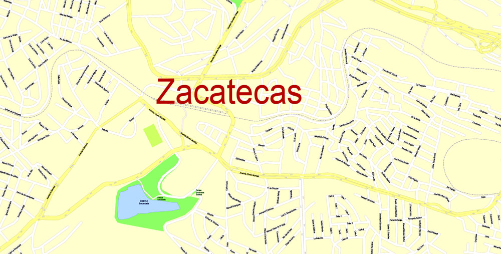
Printable Map Zacatecas, Mexico exact vector Map street G-View City Plan Level 17 (100 meters scale) full editable, Adobe Illustrator, full vector, scalable, editable text format street names, 7 mb ZIP
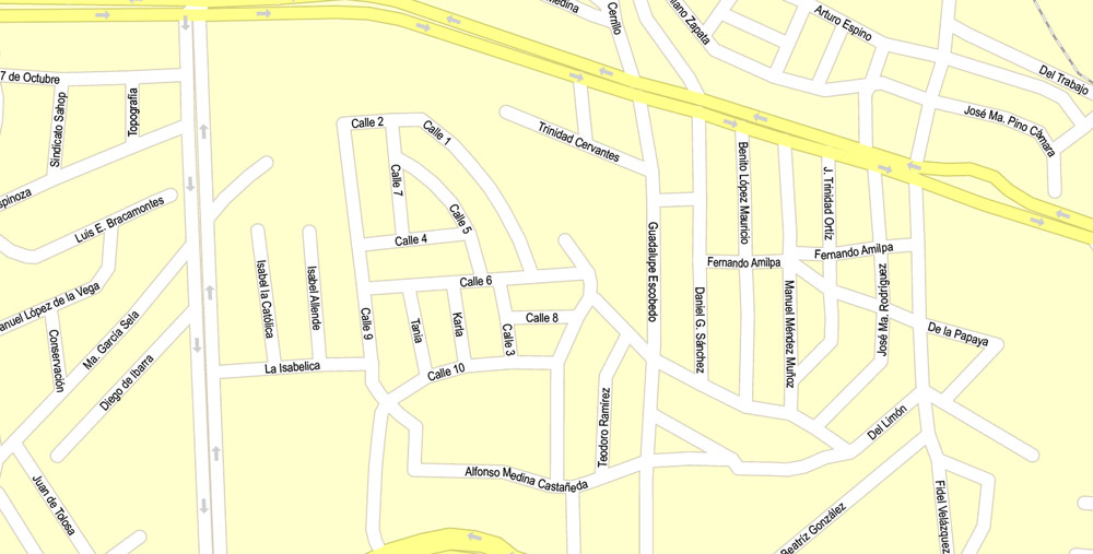
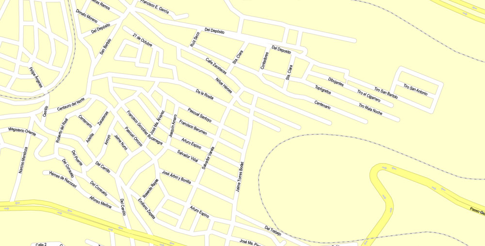
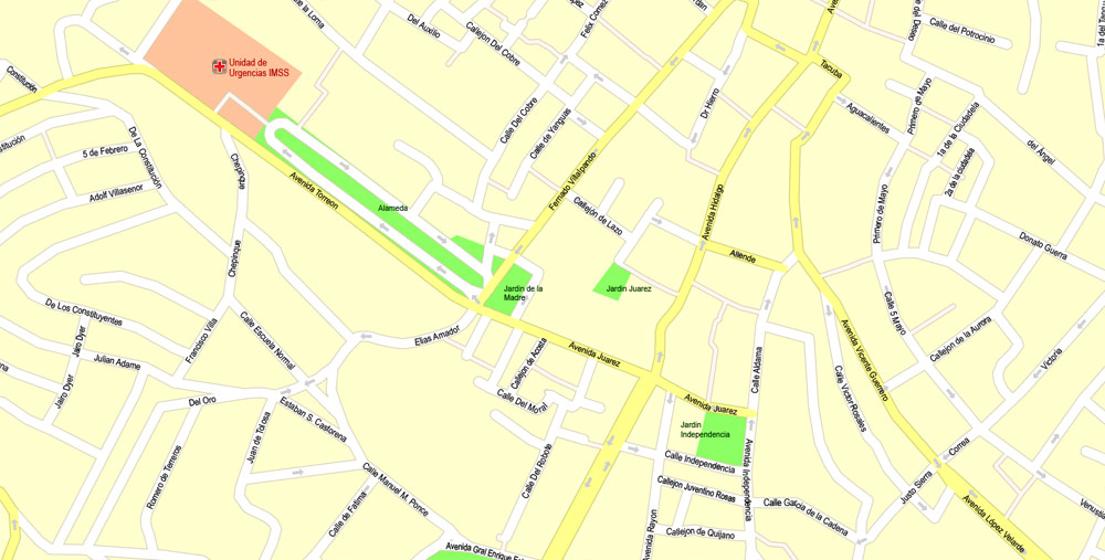
All streets named, Main Objects, NO buildings. Map for design, printing, arts, projects, presentations, for architects, designers and builders, business, logistics.
Layers: color fills, streets_roads, arrows_streets, labels_roads, objects, names objects, names_streets, names_places, grids, legend.
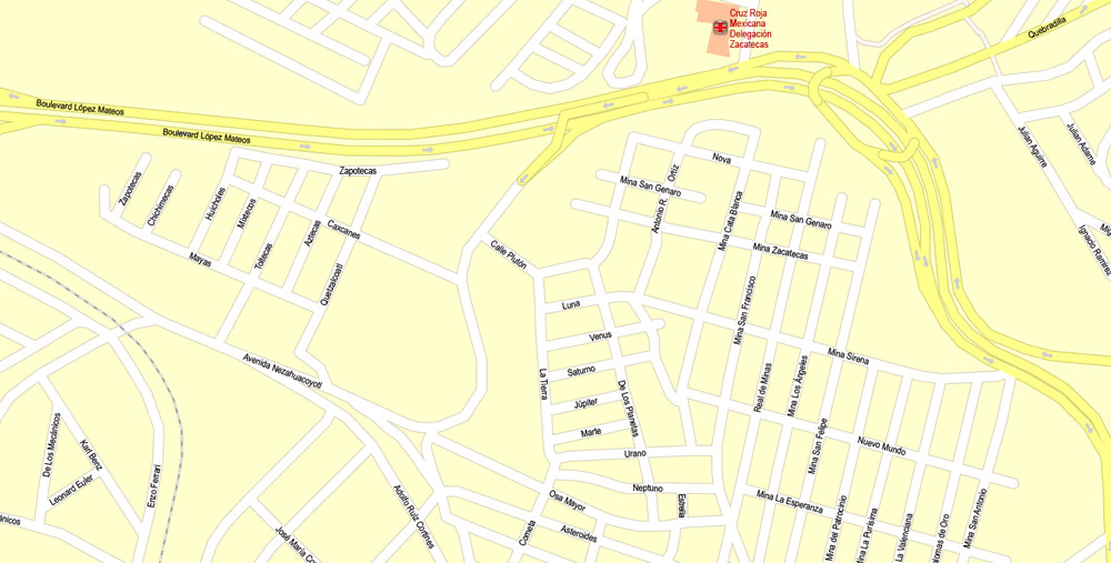
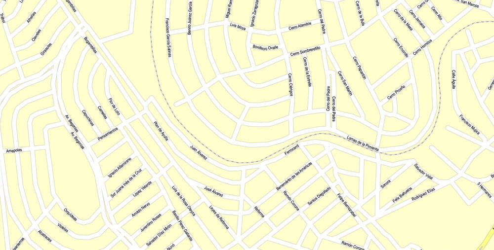
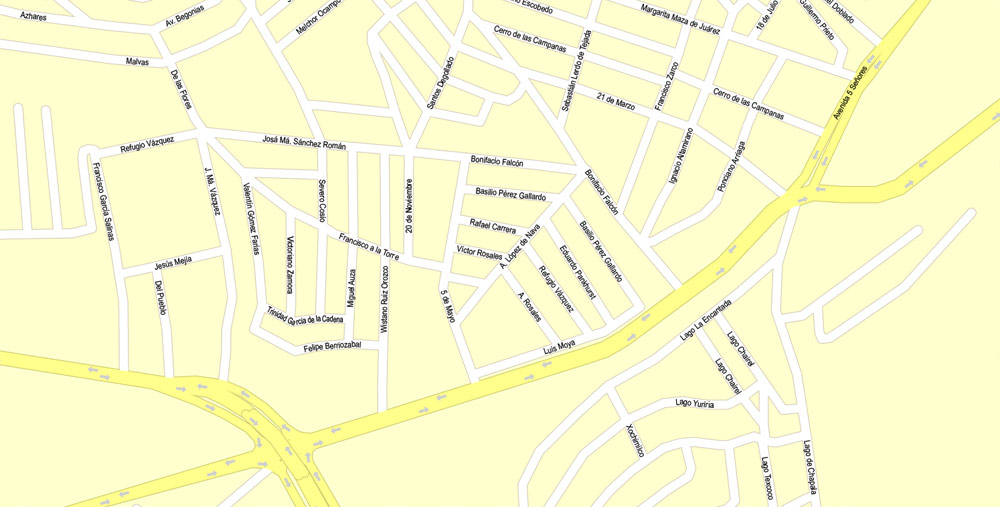
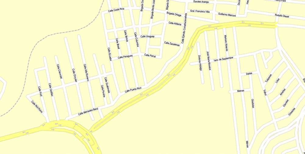
The most exact and detailed map of the city.
For print LARGE (WALL) format.
DWG, DXF, CDR and other formats – on request, same price, please, contact
Zacatecas, Mexico.
This vector map of Zacatecas city is used as a basis for design, editing, and further printing.
This is the most detailed, exact map of Zacatecas city for high-quality printing and polygraphy. You can always clarify the map development date by contacting us.
For your convenience, all objects on Zacatecas vector city map are divided into layers. And the editing is very easy – colors, lines, etc.
You can easily add any objects needed (e.g. shops, salons, sale points, gas station or attraction) on any layer of Zacatecas vector map.
Zacatecas is a city and municipality in Mexico, and the capital and largest city of the state of Zacatecas. Located in north-central Mexico, the city had its start as a Spanish mining camp in the mid-16th century. Native Americans had already known about the area’s rich deposits of silver and other minerals. Due to the wealth that the mines provided, Zacatecas quickly became one of the most important cities in New Spain, with much of its silver enriching the Spanish crown.
One of the advantages of Zacatecas city vector maps of our production is the relevance of cartographic data, we constantly update all our products.
This vector map of Zacatecas city is used by:
designers, layout designers, printers, advertisers and architects. Our product – vector maps – is designed for further editing and printing in large formats – from @Wall format (a few meters) to A-0 and A-1, A-2, A-3.
The Zacatecas city map in vector format is used for design, urban planning, presentations and media visualizations.
The advertising and presentation map of Zacatecas city (usually the final designer marks the routes, and puts the client’s objects (shops, saloons, gas stations etc.)
The undoubted advantage is that people will NEVER throw out this advertising product – the map. In fact, as an advertising medium, a city map is the most “long-playing” of the well-known polygraphic advertising media, with the longest lifespan, and the maximum number of interactions with the customer.

For travelers, maps are sold at the airports and gas stations around the world. Often the source is our vector maps.
Take a look, who purchases our vector maps of Zacatecas city in “Our Clients and Friends” page – these are large and small companies, from super-brands like Volvo and Starbucks, to small design studios and printing houses.
It’s very easy to work with vector maps of Zacatecas city, even for a not very experienced designer who can turn on and off the map layers, add new objects, change the colors of fill and lines according to customer requirements.
The undoubted advantage of Zacatecas city vector maps in printing is an excellent and detailed visualization, when customer can expand a large paper map and instantly define his location, find a landmark, an object or address on map, unlike using the popular electronic formats of Google and Yandex maps for example.
Printable vector maps of Zacatecas city are much more convenient and efficient than any electronic maps on your smartphone, because ALL DETAILS are displayed in the entire space of Zacatecas city map.
Useful tips on working with vector maps of cities and countries in Adobe Illustrator.
«V» – launches the Selection tool (cursor, black arrow), which makes active any vector line.
«А» – launches the Direct Selection tool (white cursor), allows you to select curve elements and drag them to the desired place.
«R» – activates the Rotate tool, which helps you rotating selected objects around the center point by 360 degrees.
«E» – gives you the opportunity to use the Eraser tool and erase unnecessary parts.
«X» – switches between Fill and Stroke in the Tools section. Try to get used to this hot key and
you will quickly understand that you can’t live and work without it.
Guides are not limited to vertical and horizontal in Adobe Illustrator. You can also create a diagonal guide for example. Moreover, you can turn any contours into guides. Select the outline and go to View > Guides > Make Guides (Create Guides), or simply press Cmd/Ctrl + 5. You can also turn the guides back into an editable object. Go to menu, View > Guides > Unlock Guides (Release Guides), select the guide you want to edit and select View > Guides > Release Guides (Reset Guides), or just press Cmd/Ctrl + Option / Alt + 5).
The area saw battles during the turbulent 19th century, but the next major event was the Battle of Zacatecas during the Mexican Revolution when Francisco Villa captured the town, an event still celebrated every anniversary. Today, the colonial part of the city is a World Heritage Site, due to the Baroque and other structures built during its mining days. Mining still remains an important industry. The name Zacatecas is derived from the Zacateco people and has its roots in Nahuatl. The name means “people of the grasslands.
You will probably want to change the color scheme used on our Zacatecas vector city map.
To quickly and effectively play with colors.
Of course, you can do it manually, all objects in our Zacatecas city vector map are divided according to types and layers, and you can easily change the color gamma of vector objects in groups and layers.
But there is more effective way of working with the whole VECTOR MAP of Zacatecas city and all layers:
The overview dialog «Edit colors»/«Repaint Graphic Object» (this dialog box name can change depending on the context):
If you have selected a part or a layer of Zacatecas city vector map and open the dialog box by clicking the icon in the Control panel, on the Samples palette or the Color Catalog, or if you choose Edit > Edit Colors> Repaint Graphic Object, then the «Repaint Graphic Object» dialog box appears, and you get access to «Assign» and «Edit» tabs.
If a picture or a map fragment is not selected, and you open the dialog box by clicking the icon in the Control panel, on the Samples palette or in the Color Catalog, the «Edit Colors» dialog box appears and you can only access the «Edit» tab.
Regardless of the name at the top of the dialog box, the right-hand side always displays the color group of the current document, as well as two default color groups: Print Color and Grayscale. These color groups can be selected and used any time.
Create and edit color groups of Zacatecas city vector map, and also assign colors using the «Edit Colors»/ а «Repaint Graphic Object» dialog box.
A. Creating and editing of a color group on the «Edit» tab
B. Assigning colors on the «Assign» tab
C. Select a group of colors from the «Color groups» list
The option «Repaint a graphic object» in the lower part of the dialog box allows you to preview the colors on a selected layer of Vector map, or a group of elements, and specify whether its colors will be redefined when the dialog box is closed.
The main areas of the dialog box are:
«Edit»
The «Edit» tab is designed to create a new or edit the existing color groups.
The harmony rules Menu and the Color Wheel are used to conduct experiments with color harmonies. The color wheel shows how colors are related in color harmony, and the color bars allow you to view and manipulate an individual color values. In addition, you can adjust the brightness, add and remove colors, save color groups and view colors on the selected Vector Map of Zacatecas city or a separated layers.
«Assign»
The «Assign» tab is used to view and control on how the original colors are replaced with colors from the color group like your corporate colors in the Vector Map of Zacatecas city.
The assign color ability is provided only if the entire map, layer or fragment is selected in the document. You can specify which of new colors replace the current colors, whether the spot colors should be preserved and how colors are replaced (for example, you can replace colors completely or changing the color tone while maintaining the brightness). The «Assign» tab allows you to redefine colors in the Vector Map of Zacatecas city, or in separate layers and fragments using the current color group or reducing the number of colors in the current Vector Map.
Geography
As municipal seat, the city of Zacatecas is the governmental authority for 180 other named localities, which total an area of 444 km2. Ninety-three percent of the municipality’s population of 132,035 lives in the city proper. There are no indigenous communities in the municipalities with almost all of the population being “mestizo” or mixed indigenous-European. Under 500 people speak an indigenous language such as Huichol and Zacateco but most of these are from other parts of Mexico and speak Spanish as well. The municipality borders the municipalities of Calera, Morelos, Vetagrande, Guadalupe, Genaro Codina and Jerez.
Color groups
Is a list of all saved color groups for current document (the same groups appear in the «Samples» palette). You can edit and delete the existing color groups, as well as creating a new ones using the list of “Color Groups” in the dialog box. All changes appear in the «Samples» palette.
The highlighted color group shows, which color group is currently edited.
Any color group can be selected and edited, or used to redefine the colors in the selected vector map of Zacatecas city, its fragments or elements.
Saving a color group adds this group to the specified list.
Opening the «Edit Colors»/«Repaint Graphic Object» dialog box.
Open the «Edit Colors»/«Repaint Graphic Object» dialog box using one of the following methods:
«Edit»> «Edit Colors»> «Repaint Graphic object» or «Repaint With Style».
Use these commands if you need to edit the colors in the selected vector map of Zacatecas city.
«Repaint Graphic object» button on the «Control» panel.
Use this button if you need to adjust colors of Zacatecas city vector map using the а «Repaint graphic object» dialog box.
The specified button is available if the selected vector map or its fragment contains two or more colors.
Note. This color editing method is convenient for global color adjustment in a vector map, if global colors were not used when creating a City Map of Zacatecas.
The «Edit colors» button or «Edit or apply colors» on the «Color Catalog» palette
Click this button if you need to edit colors on the «Color Catalog» palette or edit and then apply them to the selected Vector Map of Zacatecas city or its fragment.
The «Edit color group» button or «Edit or apply color group» on the «Samples» palette.
Click this button if you need to edit the colors in the specific color group or edit and apply them to the selected Vector Map of Zacatecas city or a group of its elements, for example, the whole layer “Streets and lines”. You can also double-click the color group in the Samples panel to open the dialog box.
If the map file is too large and your computer freezes or even can’t open it quickly:
1. Try to reduce the color resolution of the video card (display) to 256 colors while working with a large map.
2. Using Windows Task Manager, select all the application you don’t need, while working with map, just turn them off.
3. Launch Adobe Illustrator. (DO NOT OPEN the vector map file)
4. Start the Windows Task Manager using administrator rights > Find the “Illustrator” process > set the «real time» priority,
5. Open the file. When you see the LEGACY FONT popup window – click “OK” (do not update). You can restore the TEXT later.
6. Can also be useful: When file is opened – Edit > Settings > Basic Settings > disable smoothing. /// It looks scary, but works quickly)))
We recommend saving the file in Adobe Illustrator 10 version. It’s much more stable when working with VERY BIG size files.
The municipality is wedged between the Sierra Madre Occidental and the subrange called Sierras y Valles Zacatecanos. The area is very rugged terrain filled with narrow valleys, ravines and mountains. The principal elevations include Cerro El Grillo at 2,690 m (8,830 ft), Cerro Los Alamitos at 2,680 m (8,790 ft), Cerro La Bufa at 2,650 m (8,690 ft), Cerro La Mesa at 2,590 m (8,500 ft), Mesas El Rincón Colorado at 2,540 m (8,330 ft), Cerro La Mesa at 2,440 m (8,010 ft) and Cerro Grande at 2,370 m (7,780 ft). The area is divided between the Lerma River and El Salado River basins, with a large number of small streams and arroyos crossing the territory.
Zacatecas
City in Mexico
Zacatecas is a city in central Mexico. It’s known for being a 16th-century silver mining hub. An underground train leads to the Mina El Edén, a former mine with rock formations and antique mining machinery. The mine’s prosperity is reflected in the city’s ornate churches and colonial buildings, like the Catedral de Zacatecas and the Palacio de Gobierno Estatal, built with pink stone and ornamental wrought iron.
Area
• Municipality 356.14 km2 (137.51 sq mi)
Elevation (of seat) 2,440 m (8,010 ft)
Population
• Municipality 138,152
• Seat 122,889
Free vector map World, Adobe Illustrator, download now maps vector clipart
Map for design, projects, presentation free to use as you like.
See also: TERMS & CONDITIONS: SOFTWARE LICENSE AGREEMENT FOR DIGITAL CARTOGRAPHIC DATA.
Need more USA Vector Maps, printable and editable?
 full editable, Adobe Illustrator")

 Author: Kirill Shrayber, Ph.D. FRGS
 full editable, Adobe Illustrator")