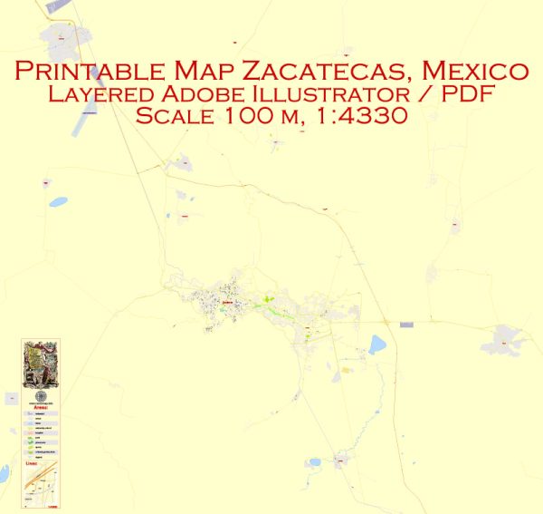
A general overview of the infrastructure in Zacatecas, Mexico. Vectormap.Net provide you with the most accurate and up-to-date vector maps in Adobe Illustrator, PDF and other formats, designed for editing and printing. Please read the vector map descriptions carefully. Here’s a general overview:
1. Transportation:
- Roads: Zacatecas has a network of roads and highways connecting it to other cities in Mexico. The city itself has a system of streets and avenues.
- Public Transportation: There may be bus services and taxis serving the city, providing public transportation for residents and visitors.
2. Airports:
- General Leobardo C. Ruiz International Airport: This airport serves Zacatecas and the surrounding region, providing domestic and limited international flights.
3. Education:
- Universities and Schools: Zacatecas likely has educational institutions, including universities and schools, offering a range of academic programs.
4. Healthcare:
- Hospitals and Clinics: The city is expected to have healthcare facilities, including hospitals, clinics, and medical centers, to cater to the health needs of the population.
5. Utilities:
- Water and Sanitation: Zacatecas will have a system for water supply and sanitation to meet the needs of its residents.
- Electricity: The city is connected to the national electricity grid to provide power to homes and businesses.
6. Cultural and Recreational Facilities:
- Cultural Institutions: Zacatecas may have museums, theaters, and other cultural institutions promoting the arts and heritage of the region.
- Parks and Recreation Areas: The city likely features parks and recreational spaces for residents and visitors.
7. Economic Infrastructure:
- Commercial Centers: Zacatecas may have commercial and business districts where local and international businesses operate.
- Industrial Areas: There might be industrial zones contributing to the local economy.
8. Government and Administration:
- Government Buildings: The city will have administrative offices, including municipal and state government buildings.
9. Technology and Communication:
- Telecommunications: Zacatecas is expected to have a well-developed telecommunications infrastructure, including internet and mobile services.
For the most accurate and current information, consider checking with local authorities, municipal offices, or official tourism websites. Additionally, recent maps and online resources can provide specific details about the infrastructure in Zacatecas.


 Author: Kirill Shrayber, Ph.D.