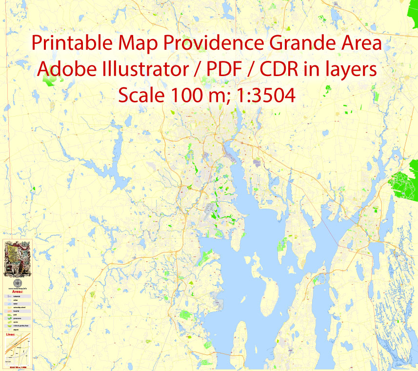
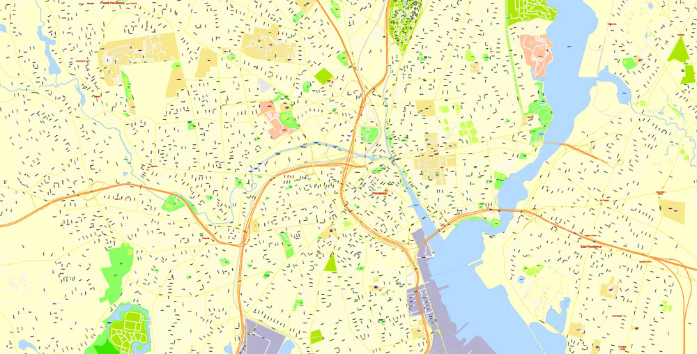
Printable Map Providence Metro Area, Rhode Island US, exact vector City Plan scale 1:5304, full editable, Adobe Illustrator, scalable, editable, text format street names, 24 mb ZIP
All streets named, Main Objects. Map for design, printing, arts, projects, presentations, for architects, designers and builders, business, logistics.
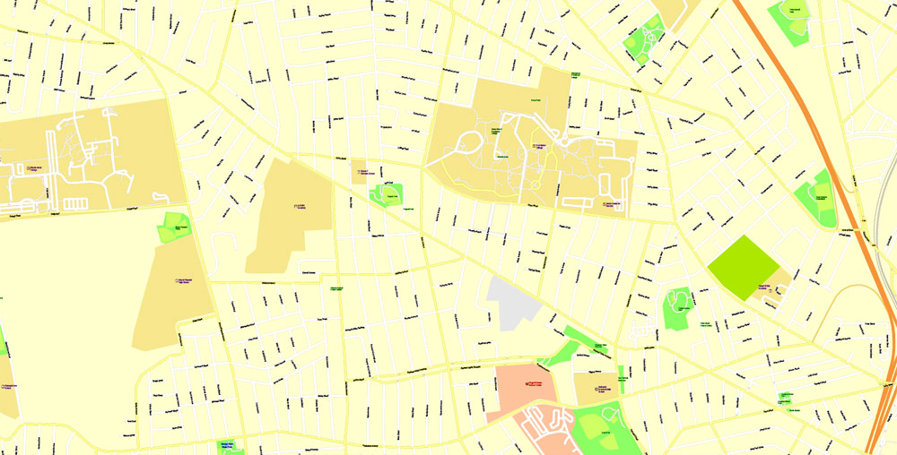
Layers: color fills, streets_roads, names_sreets, names_places, labels_roads, names_objects, grids, legend.
The most exact and detailed map of the city.
DWG, DXF, EPS and other formats – on request, same price, please, contact
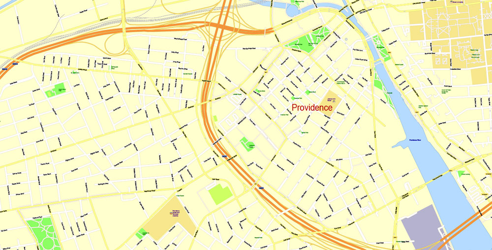
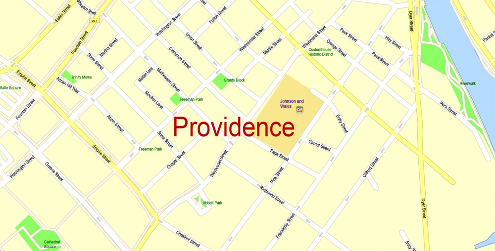
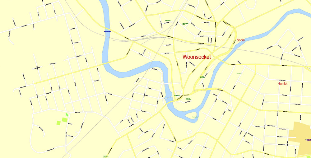
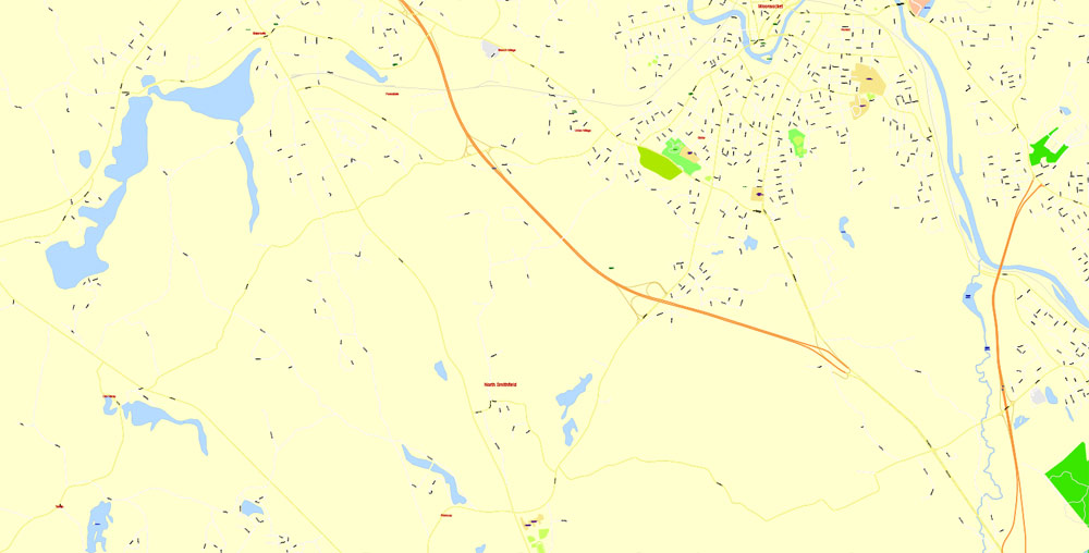
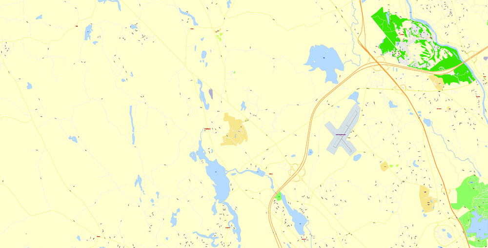
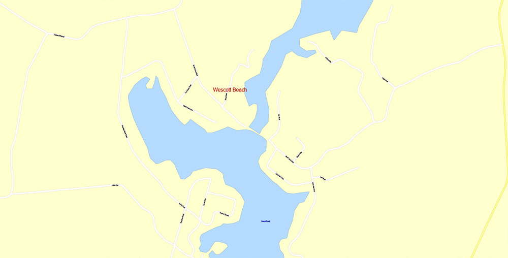
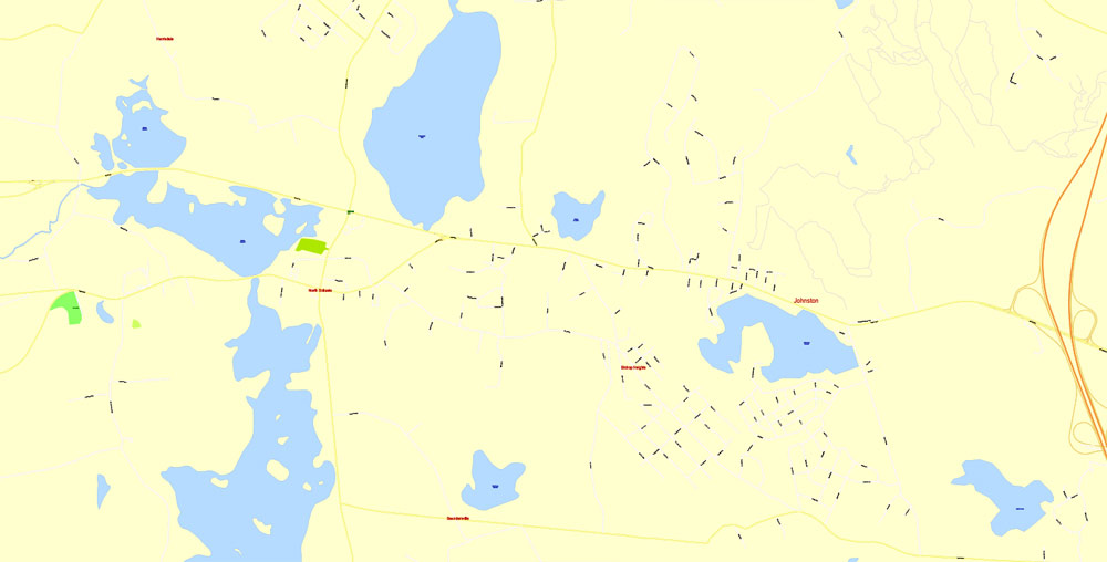
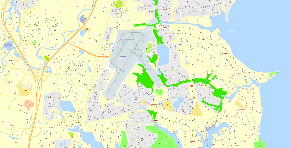
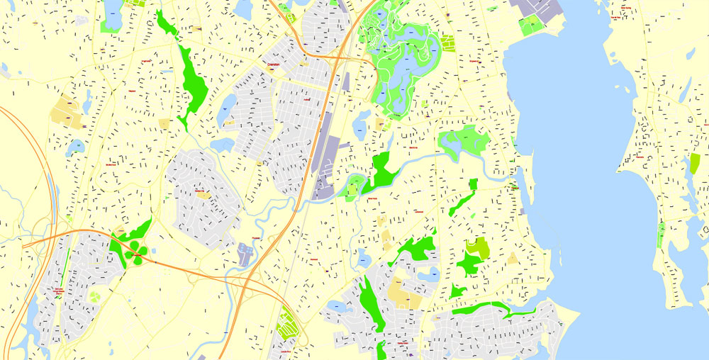
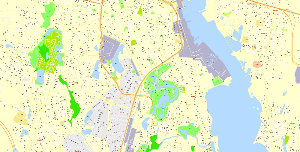
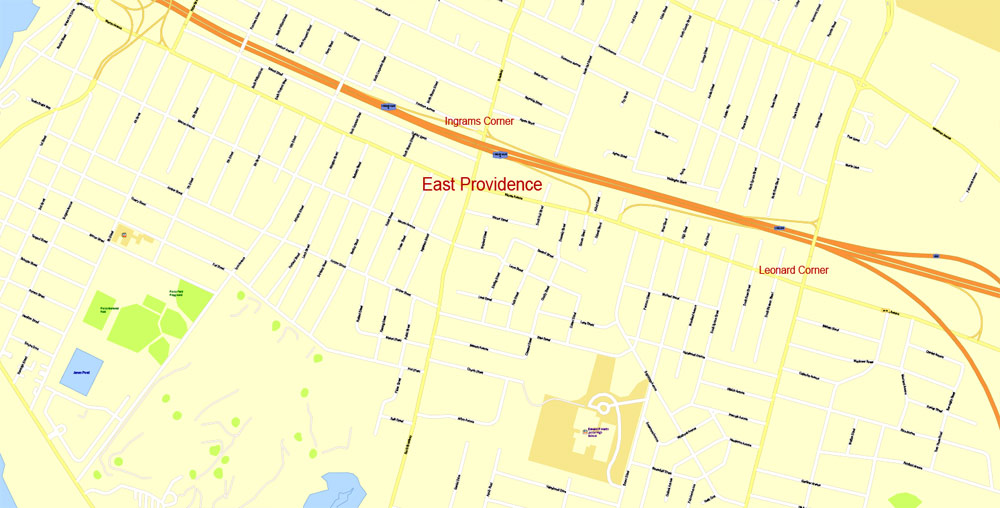
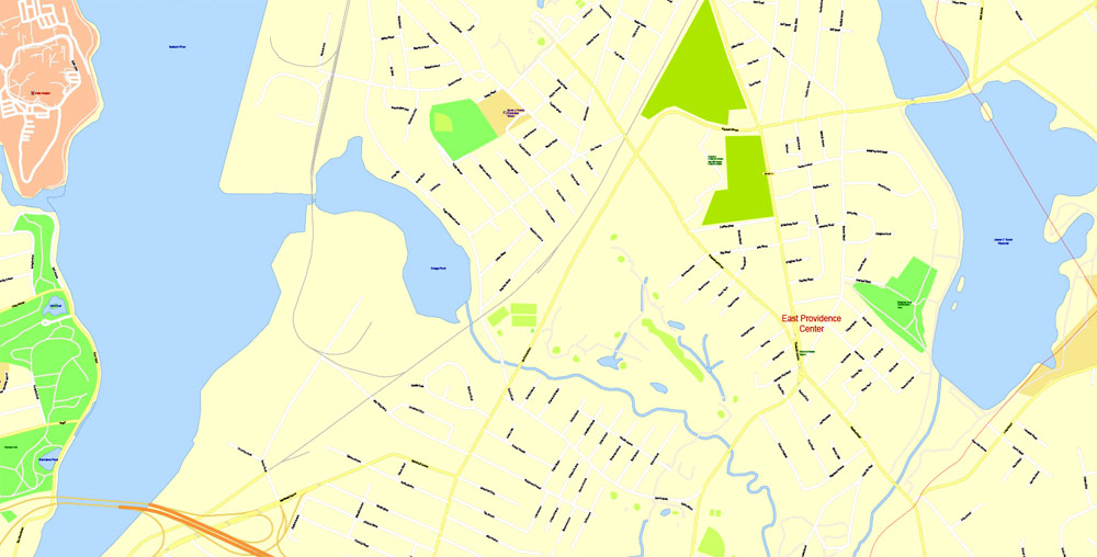
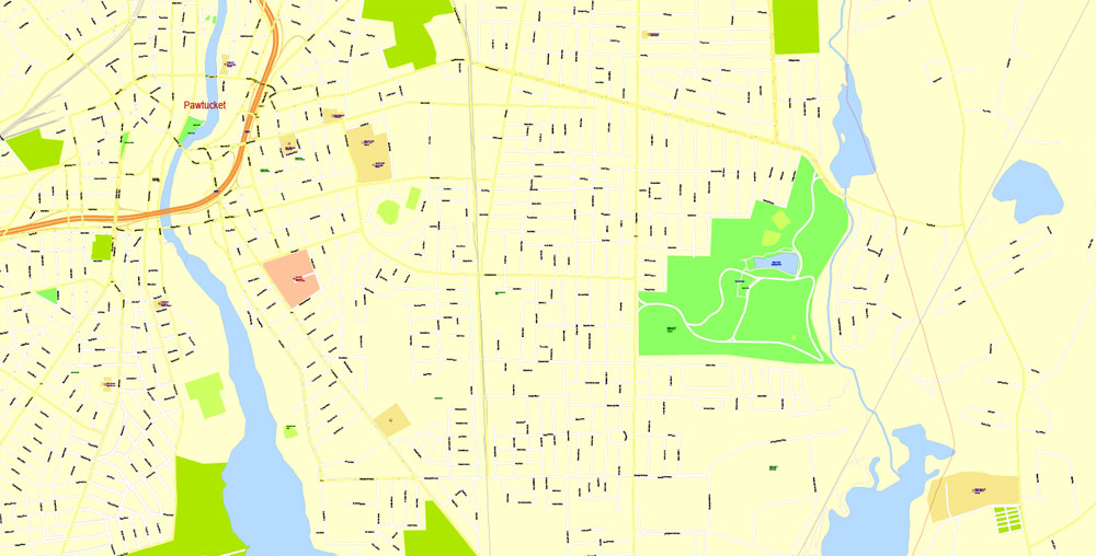
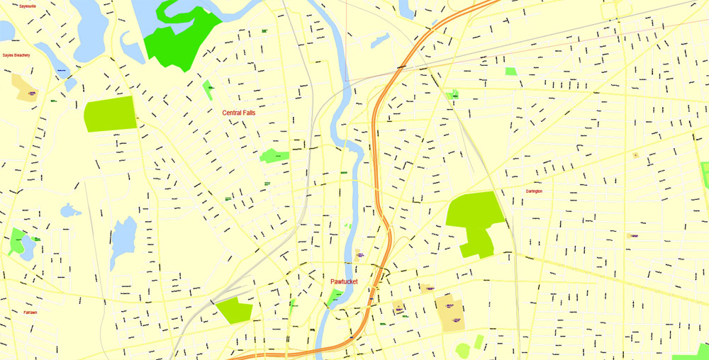
Providence, Rhode Island, USA.
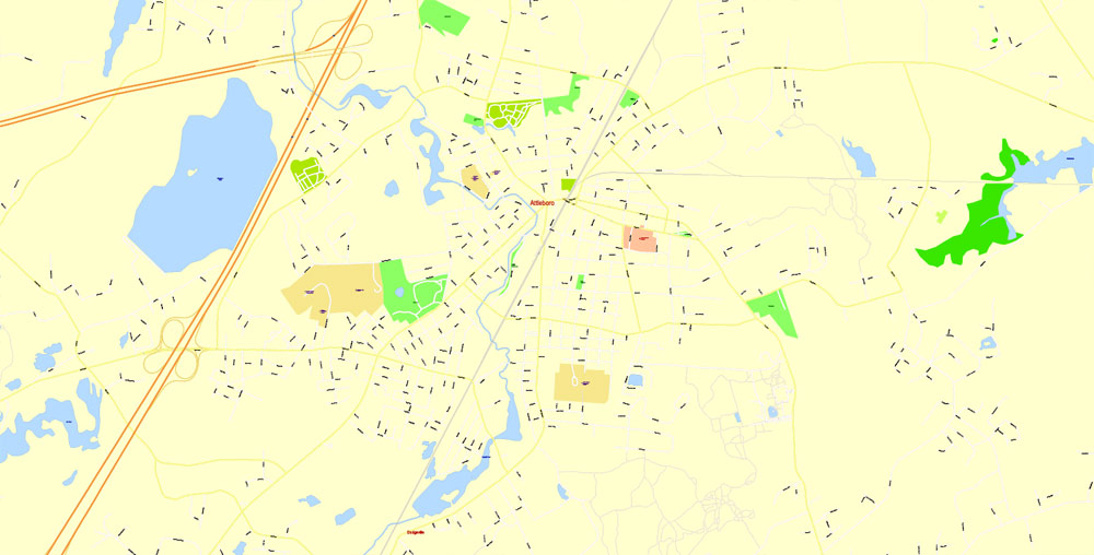
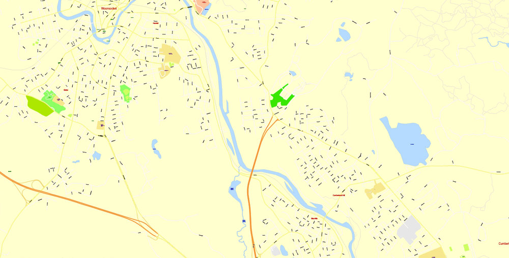
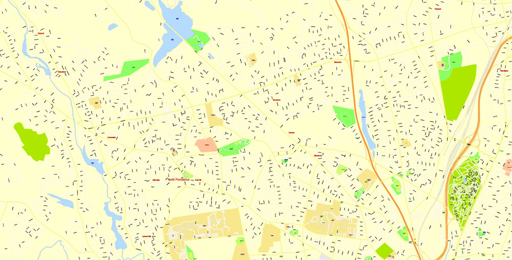
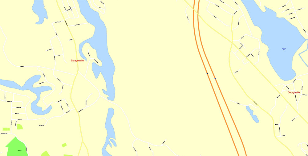
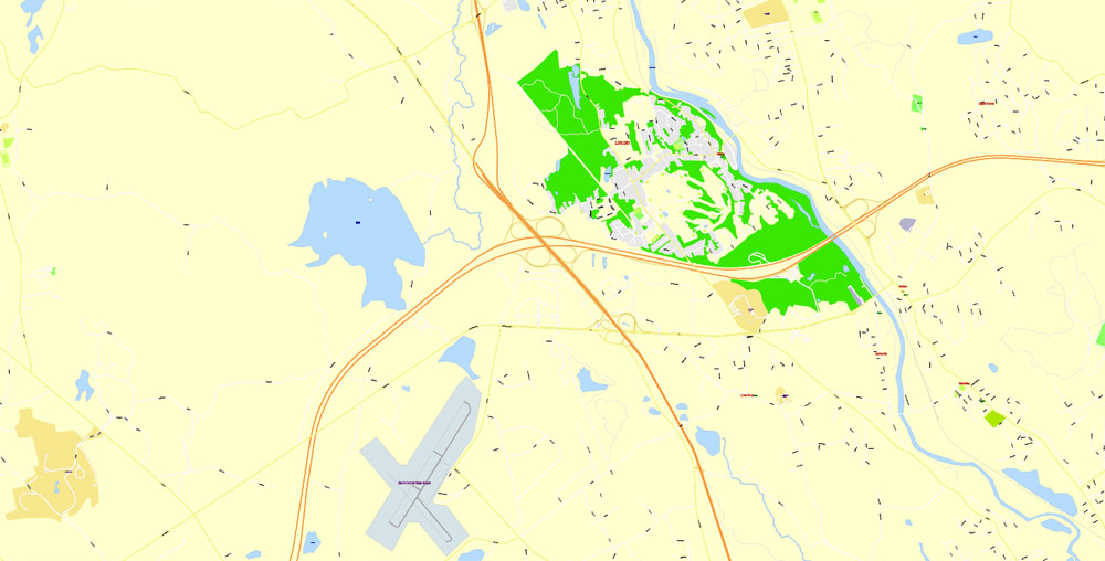
This vector map of Providence city is used as a basis for design, editing, and further printing.
This is the most detailed, exact map of Providence city for high-quality printing and polygraphy. You can always clarify the map development date by contacting us.
For your convenience, all objects on Providence vector city map are divided into layers. And the editing is very easy – colors, lines, etc.
You can easily add any objects needed (e.g. shops, salons, sale points, gas station or attraction) on any layer of Providence vector map.
Providence is the capital and most populous city of the U.S. state of Rhode Island and is one of the oldest cities in the United States. It was founded in 1636 by Roger Williams, a Reformed Baptist theologian and religious exile from the Massachusetts Bay Colony. He named the area in honor of “God’s merciful Providence” which he believed was responsible for revealing such a haven for him and his followers. The city is situated at the mouth of the Providence River at the head of Narragansett Bay.
One of the advantages of Providence city vector maps of our production is the relevance of cartographic data, we constantly update all our products.
This vector map of Providence city is used by:
designers, layout designers, printers, advertisers and architects. Our product – vector maps – is designed for further editing and printing in large formats – from @Wall format (a few meters) to A-0 and A-1, A-2, A-3.
The Providence city map in vector format is used for design, urban planning, presentations and media visualizations.
The advertising and presentation map of Providence city (usually the final designer marks the routes, and puts the client’s objects (shops, saloons, gas stations etc.)
The undoubted advantage is that people will NEVER throw out this advertising product – the map. In fact, as an advertising medium, a city map is the most “long-playing” of the well-known polygraphic advertising media, with the longest lifespan, and the maximum number of interactions with the customer.
Providence was one of the first cities in the country to industrialize and became noted for its textile manufacturing and subsequent machine tool, jewelry, and silverware industries. Today, the city of Providence is home to eight hospitals and seven institutions of higher learning which have shifted the city’s economy into service industries, though it still retains some manufacturing activity. The city was once nicknamed the “Beehive of Industry”; it began rebranding itself as the “Creative Capital” in 2009 to emphasize its educational resources and arts community.
For travelers, maps are sold at the airports and gas stations around the world. Often the source is our vector maps.
Take a look, who purchases our vector maps of Providence city in “Our Clients and Friends” page – these are large and small companies, from super-brands like Volvo and Starbucks, to small design studios and printing houses.
It’s very easy to work with vector maps of Providence city, even for a not very experienced designer who can turn on and off the map layers, add new objects, change the colors of fill and lines according to customer requirements.
The undoubted advantage of Providence city vector maps in printing is an excellent and detailed visualization, when customer can expand a large paper map and instantly define his location, find a landmark, an object or address on map, unlike using the popular electronic formats of Google and Yandex maps for example.
Printable vector maps of Providence city are much more convenient and efficient than any electronic maps on your smartphone, because ALL DETAILS are displayed in the entire space of Providence city map.
Useful tips on working with vector maps of cities and countries in Adobe Illustrator.
«V» – launches the Selection tool (cursor, black arrow), which makes active any vector line.
«А» – launches the Direct Selection tool (white cursor), allows you to select curve elements and drag them to the desired place.
«R» – activates the Rotate tool, which helps you rotating selected objects around the center point by 360 degrees.
«E» – gives you the opportunity to use the Eraser tool and erase unnecessary parts.
«X» – switches between Fill and Stroke in the Tools section. Try to get used to this hot key and
you will quickly understand that you can’t live and work without it.
Guides are not limited to vertical and horizontal in Adobe Illustrator. You can also create a diagonal guide for example. Moreover, you can turn any contours into guides. Select the outline and go to View > Guides > Make Guides (Create Guides), or simply press Cmd/Ctrl + 5. You can also turn the guides back into an editable object. Go to menu, View > Guides > Unlock Guides (Release Guides), select the guide you want to edit and select View > Guides > Release Guides (Reset Guides), or just press Cmd/Ctrl + Option / Alt + 5).
You will probably want to change the color scheme used on our Providence vector city map.
To quickly and effectively play with colors.
Of course, you can do it manually, all objects in our Providence city vector map are divided according to types and layers, and you can easily change the color gamma of vector objects in groups and layers.
But there is more effective way of working with the whole VECTOR MAP of Providence city and all layers:
The overview dialog «Edit colors»/«Repaint Graphic Object» (this dialog box name can change depending on the context):
If you have selected a part or a layer of Providence city vector map and open the dialog box by clicking the icon in the Control panel, on the Samples palette or the Color Catalog, or if you choose Edit > Edit Colors> Repaint Graphic Object, then the «Repaint Graphic Object» dialog box appears, and you get access to «Assign» and «Edit» tabs.
If a picture or a map fragment is not selected, and you open the dialog box by clicking the icon in the Control panel, on the Samples palette or in the Color Catalog, the «Edit Colors» dialog box appears and you can only access the «Edit» tab.
Regardless of the name at the top of the dialog box, the right-hand side always displays the color group of the current document, as well as two default color groups: Print Color and Grayscale. These color groups can be selected and used any time.
Create and edit color groups of Providence city vector map, and also assign colors using the «Edit Colors»/ а «Repaint Graphic Object» dialog box.
A. Creating and editing of a color group on the «Edit» tab
B. Assigning colors on the «Assign» tab
C. Select a group of colors from the «Color groups» list
The option «Repaint a graphic object» in the lower part of the dialog box allows you to preview the colors on a selected layer of Vector map, or a group of elements, and specify whether its colors will be redefined when the dialog box is closed.
The main areas of the dialog box are:
«Edit»
The «Edit» tab is designed to create a new or edit the existing color groups.
The harmony rules Menu and the Color Wheel are used to conduct experiments with color harmonies. The color wheel shows how colors are related in color harmony, and the color bars allow you to view and manipulate an individual color values. In addition, you can adjust the brightness, add and remove colors, save color groups and view colors on the selected Vector Map of Providence city or a separated layers.
«Assign»
The «Assign» tab is used to view and control on how the original colors are replaced with colors from the color group like your corporate colors in the Vector Map of Providence city.
The assign color ability is provided only if the entire map, layer or fragment is selected in the document. You can specify which of new colors replace the current colors, whether the spot colors should be preserved and how colors are replaced (for example, you can replace colors completely or changing the color tone while maintaining the brightness). The «Assign» tab allows you to redefine colors in the Vector Map of Providence city, or in separate layers and fragments using the current color group or reducing the number of colors in the current Vector Map.
Color groups
Is a list of all saved color groups for current document (the same groups appear in the «Samples» palette). You can edit and delete the existing color groups, as well as creating a new ones using the list of “Color Groups” in the dialog box. All changes appear in the «Samples» palette.
The highlighted color group shows, which color group is currently edited.
Any color group can be selected and edited, or used to redefine the colors in the selected vector map of Providence city, its fragments or elements.
Saving a color group adds this group to the specified list.
Opening the «Edit Colors»/«Repaint Graphic Object» dialog box.
Open the «Edit Colors»/«Repaint Graphic Object» dialog box using one of the following methods:
«Edit»> «Edit Colors»> «Repaint Graphic object» or «Repaint With Style».
Use these commands if you need to edit the colors in the selected vector map of Providence city.
«Repaint Graphic object» button on the «Control» panel.
Use this button if you need to adjust colors of Providence city vector map using the а «Repaint graphic object» dialog box.
The specified button is available if the selected vector map or its fragment contains two or more colors.
Note. This color editing method is convenient for global color adjustment in a vector map, if global colors were not used when creating a City Map of Providence.
The «Edit colors» button or «Edit or apply colors» on the «Color Catalog» palette
Click this button if you need to edit colors on the «Color Catalog» palette or edit and then apply them to the selected Vector Map of Providence city or its fragment.
The «Edit color group» button or «Edit or apply color group» on the «Samples» palette.
Click this button if you need to edit the colors in the specific color group or edit and apply them to the selected Vector Map of Providence city or a group of its elements, for example, the whole layer “Streets and lines”. You can also double-click the color group in the Samples panel to open the dialog box.
If the map file is too large and your computer freezes or even can’t open it quickly:
1. Try to reduce the color resolution of the video card (display) to 256 colors while working with a large map.
2. Using Windows Task Manager, select all the application you don’t need, while working with map, just turn them off.
3. Launch Adobe Illustrator. (DO NOT OPEN the vector map file)
4. Start the Windows Task Manager using administrator rights > Find the “Illustrator” process > set the «real time» priority,
5. Open the file. When you see the LEGACY FONT popup window – click “OK” (do not update). You can restore the TEXT later.
6. Can also be useful: When file is opened – Edit > Settings > Basic Settings > disable smoothing. /// It looks scary, but works quickly)))
We recommend saving the file in Adobe Illustrator 10 version. It’s much more stable when working with VERY BIG size files.
The city is the third most populous city in New England after Boston and Worcester, Massachusetts.
Geography
Astronaut photograph of Providence, Rhode Island taken from the International Space Station (ISS)
The Providence city limits enclose a small geographical region with a total area of 20.5 square miles (53 km2); 18.5 square miles (48 km2) of it is land and the remaining 2.1 square miles (5.4 km2) is water (roughly 10%). Providence is located at the head of Narragansett Bay, with the Providence River running into the bay through the center of the city, formed by the confluence of the Moshassuck and Woonasquatucket Rivers. The Waterplace Park amphitheater and riverwalks line the river’s banks through downtown.
Providence is one of many cities claimed to be founded on seven hills like Rome. The more prominent hills are: Constitution Hill (near downtown), College Hill (east of the Providence River), and Federal Hill (west of downtown and containing New England’s largest Italian district outside of Massachusetts). The other four are: Tockwotten Hill at Fox Point, Smith Hill (where the State House is located), Christian Hill at Hoyle Square (junction of Cranston and Westminster Streets), and Weybosset Hill at the lower end of Weybosset Street, which was leveled in the early 1880s.
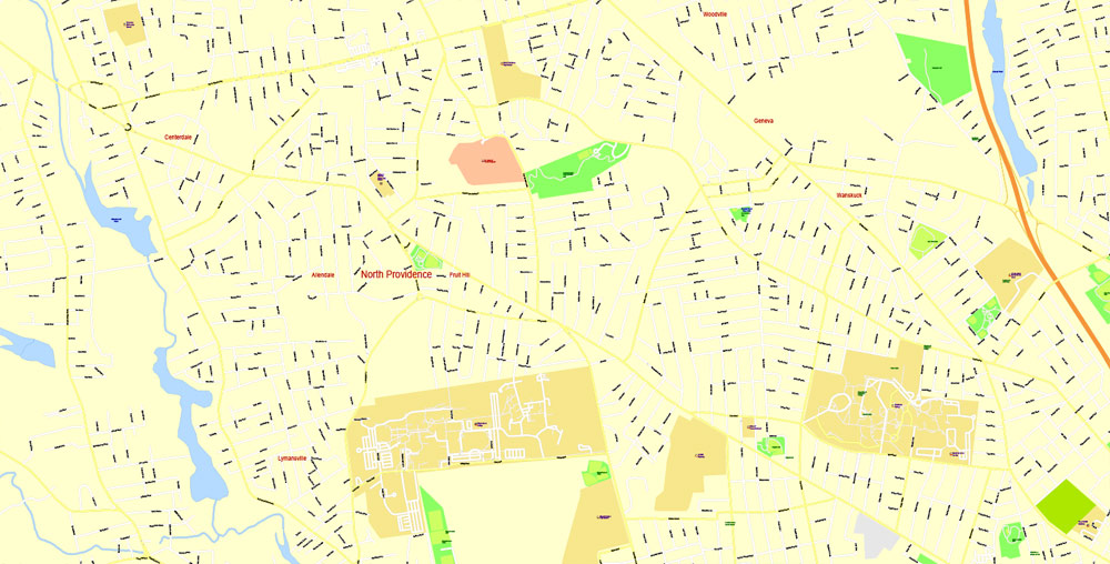
Neighborhoods
Providence neighborhoods with major highways shown, (Technical Note, this map has been deprecated because of relocation of Interstate 195)
The Providence skyline viewed from College Hill
Providence has 25 official neighborhoods, though these neighborhoods are often grouped together and referred to collectively:
The East Side is a region comprising the neighborhoods of Blackstone, Hope (aka Summit), Mount Hope, College Hill, Wayland, and Fox Point.
The Jewelry District describes the area enclosed by I-95, the old I-195, and the Providence River. The city has made efforts to rename this area the Knowledge District to reflect the area’s newly developing life sciences and technology-based economy.
The North End is formed by the concatenation of the neighborhoods of Charles, Wanskuck, Smith Hill, Elmhurst, and Mount Pleasant.
The South Side (or South Providence) consists of the neighborhoods of Elmwood, Lower South Providence, Upper South Providence, Washington Park, and the West End.
West Broadway is an officially recognized neighborhood with its own association. It overlaps with the southern half of Federal Hill and the northern part of the West End.
The West Side is a vague term sometimes used to mean the Federal Hill, Olneyville, Hartford, and Silver Lake.
Cityscape
The city of Providence is geographically very compact, characteristic of eastern seaboard cities that developed prior to use of the automobile. It is among the most densely populated cities in the country. For this reason, Providence has the eighth-highest percentage of pedestrian commuters. The street layout is irregular; more than one thousand streets (a great number for the city’s size) run haphazardly, connecting and radiating from traditionally bustling places such as Market Square.
Downtown Providence has numerous 19th-century mercantile buildings in the Federal and Victorian architectural styles, as well as several post-modern and modernist buildings located throughout the area. In particular, a fairly clear spatial separation appears between the areas of pre-1980s development and post-1980s development. West Exchange Street and Exchange Terrace serve as rough boundaries between the two.
The newer area, sometimes called “Capitol Center”, includes Providence Place Mall (1999), the Omni Providence Hotel (1993) and The Residences Providence (2007), GTECH Corporation (2006), Waterplace condominiums (2007), and Waterplace Park (1994). The area tends toward newer development, since much of it is land reclaimed in the 1970s from a mass of railroad tracks referred to colloquially as the “Chinese Wall”. This part of Downtown is characterized by open spaces, wide roads, and landscaping.
The historic part of downtown has many streetscapes that look as they did 80 years ago. Many of the state’s tallest buildings are found here. The largest structure at 426 feet (130 m) is the art deco-styled Industrial National Bank Building (formerly Industrial Trust Tower). By contrast, nearby to it is the second tallest One Financial Plaza, designed in modern taut-skin cladding, constructed a half-century later. In between the two is 50 Kennedy Plaza. The Textron Tower is also a core building to the modest Providence skyline. Downtown is also the home of the Providence Biltmore and Westminster Arcade, the oldest enclosed shopping mall in the U.S., built in 1828.
The city’s southern waterfront, away from the downtown core, is the location of many oil tanks, a docking station for a ferry boat, a non-profit sailing center, bars, strip clubs, and power plants. The Russian Submarine Museum was located here until 2008, when the submarine sank in a storm and was declared a loss. The Fox Point Hurricane Barrier is also found here, built to protect Providence from storm surge like that which it endured in the 1938 New England Hurricane and again in 1954 from Hurricane Carol.
The majority of the cityscape comprises abandoned and revitalized industrial mills, double- and triple-decker housing (though row houses are rare, found so commonly in other Northeast cities), a small number of high-rise buildings (predominantly for housing the elderly), and single family homes. Interstate 95 serves as a physical barrier between the city’s commercial core and neighborhoods such as Federal Hill and the West End.
Providence
City in Rhode Island
Providence is the capital city of the U.S. state of Rhode Island. It’s home to Brown University and the Rhode Island School of Design, whose RISD Museum displays American art and silver. Nearby, 18th- and 19th-century homes line the streets of College Hill. Waterplace Park is the backdrop for the WaterFire art installation, which lights up the surrounding tidal basin most nights in the summer and for special events.
Area
• State capital of Rhode Island 54 km2 (20.7 sq mi)
• Land 48 km2 (18.5 sq mi)
• Water 5 km2 (2.1 sq mi)Elevation 23 m (75 ft)
Population
• State capital of Rhode Island 178,042
• Estimate 179,219
• Rank US: 134th
• Density 3,736.0/km2 (9,676.2/sq mi)
• Urban 1,190,956 (US: 39th)
• Metro 1,604,291 (US: 38th)

Free Download Vector Map US County and State Adobe Illustrator
Free_Vector_Map_US_States_County_Map.ai
Free Download Vector Map US County and State Adobe PDF
Free_Vector_Map_US_States_County_Map.pdf

Free Download Vector Map US With States Names, Adobe Illustrator
Free_Map_of_USA_with_state_names_en.ai
Free Download Vector Map US With States Names, Adobe PDF
Free_Map_of_USA_with_state_names_en.pdf
From WIKI
Free vector map World, Adobe Illustrator, download now maps vector clipart
Map for design, projects, presentation free to use as you like.
See also: TERMS & CONDITIONS: SOFTWARE LICENSE AGREEMENT FOR DIGITAL CARTOGRAPHIC DATA.
Need more USA Vector Maps, printable and editable?

 Author: Kirill Shrayber, Ph.D. FRGS


