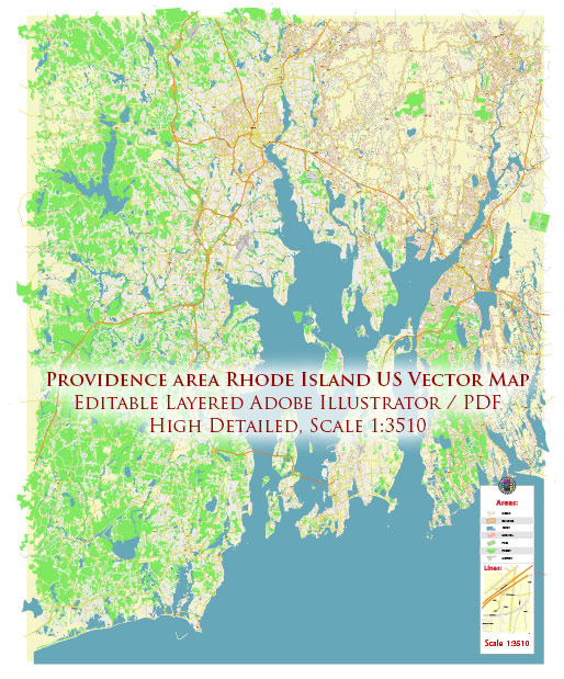
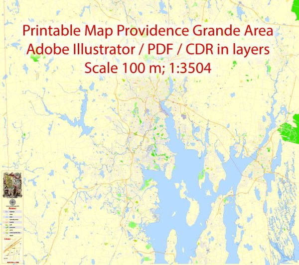
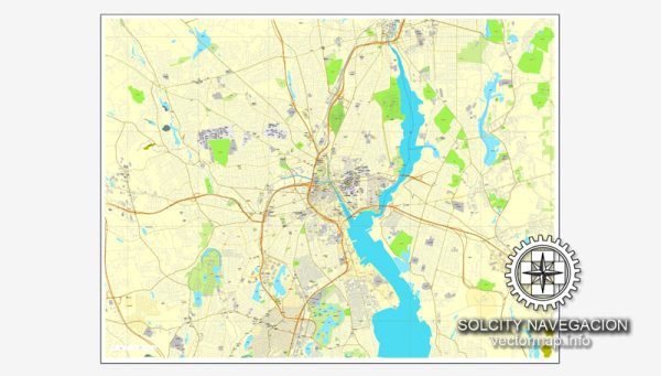
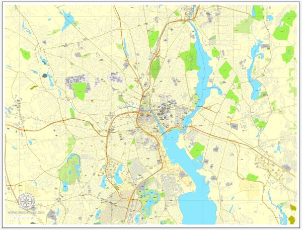
A general overview of the industrial history, port, and road system in Providence, Rhode Island.
Vectormap.Net provide you with the most accurate and up-to-date vector maps in Adobe Illustrator, PDF and other formats, designed for editing and printing. Please read the vector map descriptions carefully.
Industrial History: Providence has a rich industrial history dating back to the 18th century. The city played a significant role in the Industrial Revolution, particularly in textile manufacturing. Waterways, such as the Woonasquatucket and Moshassuck Rivers, were harnessed for water power to drive mills and factories. Samuel Slater, often regarded as the “Father of the American Industrial Revolution,” established the first successful water-powered cotton-spinning mill in Pawtucket, just north of Providence, in 1793.
Textiles, jewelry, and silverware manufacturing were prominent industries in the 19th and early 20th centuries. The city also became a hub for machinery, toolmaking, and precision manufacturing.
Port: The Port of Providence has historically been a vital component of the city’s economy. The port’s strategic location along the Narragansett Bay made it an essential maritime gateway for trade and transportation. Over the years, the port has handled various goods, including textiles, machinery, and consumer products.
In recent decades, the port has diversified its activities to handle a range of cargo, including bulk commodities, automobiles, and containers. The ProvPort facility, a modern marine terminal, has contributed to the port’s efficiency and capacity. It serves as a critical link for both import and export activities, supporting the regional economy.
Road System: Providence has a well-developed road system, connecting it to other major cities in the region. Key highways serving the city include I-95, I-195, and Route 146. I-95, a major north-south interstate, runs through the city, connecting it to Boston in the north and New York City in the south.
The road system is designed to facilitate the movement of goods and people, supporting the industrial and commercial activities of the city. Additionally, the city has invested in improving transportation infrastructure to enhance connectivity and alleviate traffic congestion.
For the most current and specific information, I recommend checking with local authorities, transportation agencies, or recent sources for updates on Providence’s industrial history, port activities, and road system.


 Author: Kirill Shrayber, Ph.D.