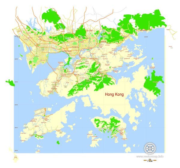
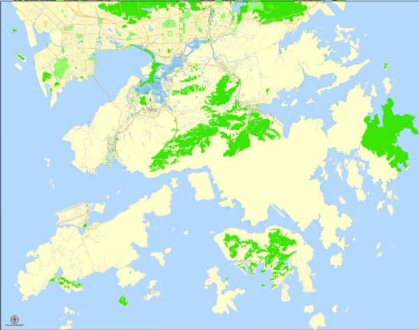
Hong Kong’s political and transportation history is complex and multifaceted, shaped by its colonial past, the handover to China in 1997, and its subsequent development as a Special Administrative Region (SAR) of China. Additionally, the city’s strategic location and economic significance have played a crucial role in shaping its transportation infrastructure.
Vectormap.Net provide you with the most accurate and up-to-date vector maps in Adobe Illustrator, PDF and other formats, designed for editing and printing. Please read the vector map descriptions carefully.
Let’s delve into these aspects in more detail:
Political History:
- Colonial Era (1842-1997):
- Hong Kong was ceded to Britain after the First Opium War through the Treaty of Nanking in 1842. It became a British Crown Colony.
- During the colonial period, Hong Kong developed as a major international trading and financial center, driven by its strategic location and a free-market economy.
- Japanese Occupation (1941-1945):
- Hong Kong was occupied by Japan during World War II, leading to significant disruptions and suffering for the local population.
- Post-World War II and Economic Boom:
- After World War II, Hong Kong experienced an economic boom, becoming a manufacturing and trading hub.
- The influx of immigrants, including those fleeing political instability in mainland China, shaped the city’s demographic and cultural landscape.
- Handover to China (1997):
- The Sino-British Joint Declaration of 1984 laid the groundwork for the handover of Hong Kong to China in 1997.
- The principle of “one country, two systems” was established, allowing Hong Kong to maintain its capitalist system and way of life for 50 years after the handover.
- Post-Handover Developments:
- Hong Kong retained a high degree of autonomy, with its legal and economic systems separate from mainland China.
- However, concerns arose over the erosion of freedoms and autonomy, leading to protests such as the Umbrella Movement in 2014 and the more recent protests starting in 2019.
Transportation History:
- Early Transportation (Pre-20th Century):
- Before modern transportation, Hong Kong relied on water transport, with a natural harbor that made it a key trading port.
- Trams and ferries were early forms of land and water transportation.
- Railways and Roads:
- The Kowloon-Canton Railway, built in the early 20th century, connected Hong Kong with mainland China.
- The development of roads and bridges improved internal connectivity.
- Aviation:
- Hong Kong International Airport, formerly Kai Tak Airport, played a crucial role in connecting Hong Kong to the world.
- The new Hong Kong International Airport opened in 1998 on Lantau Island, enhancing the city’s status as a major international transport hub.
- Mass Transit:
- The Mass Transit Railway (MTR) system, established in the late 20th century, became a vital component of the city’s transportation network.
- The MTR has expanded over the years, integrating various modes of transportation, including buses and ferries.
- Highways and Bridges:
- The construction of highways and bridges, such as the Tsing Ma Bridge and the Hong Kong-Zhuhai-Macau Bridge, has improved regional connectivity.
- Public Transportation System:
- Hong Kong boasts an efficient and extensive public transportation system, including buses, trams, and ferries, making it easy for residents and visitors to navigate the city.
In recent years, the political situation in Hong Kong has influenced various aspects of life, including transportation and infrastructure planning. The city remains a dynamic and important global financial and transportation hub.


 Author: Kirill Shrayber, Ph.D.