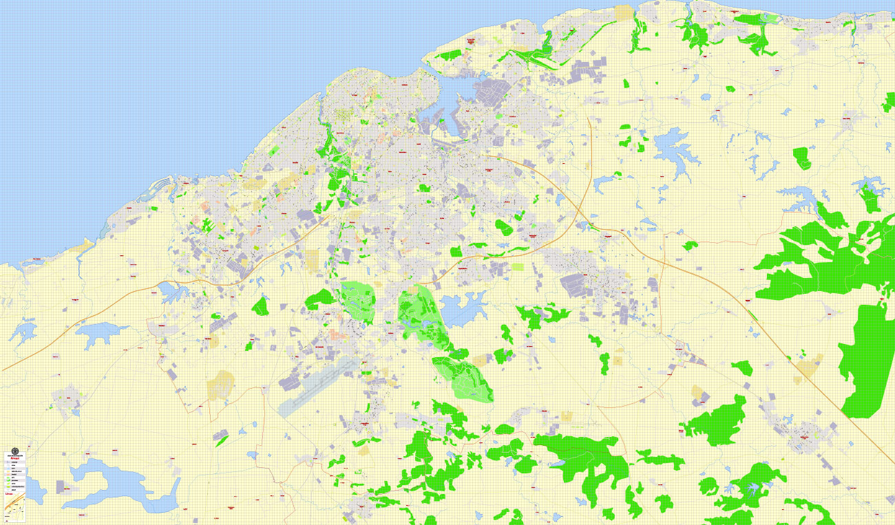
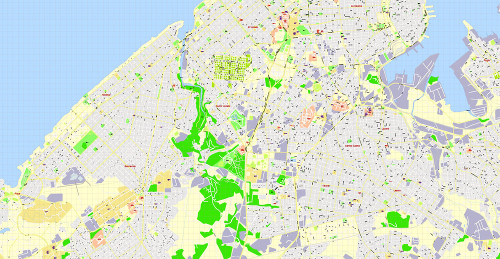
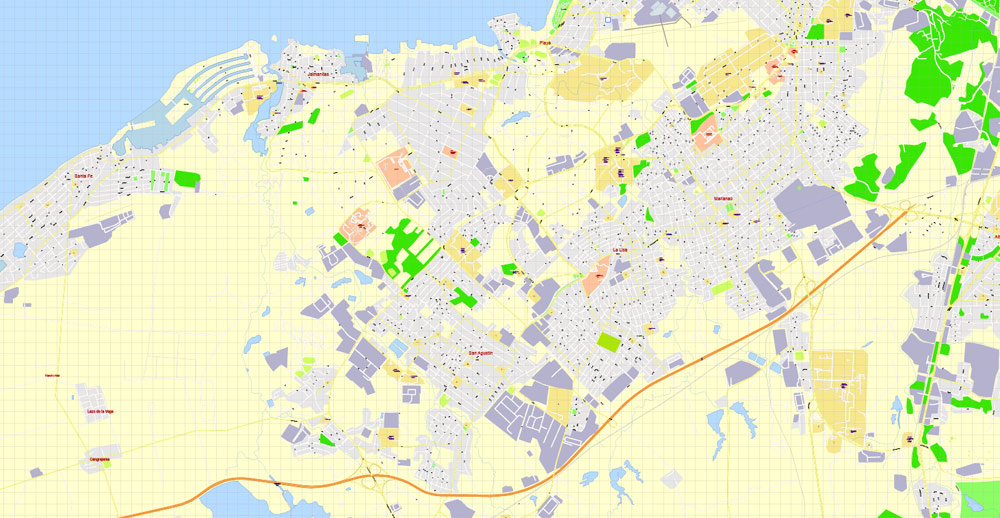
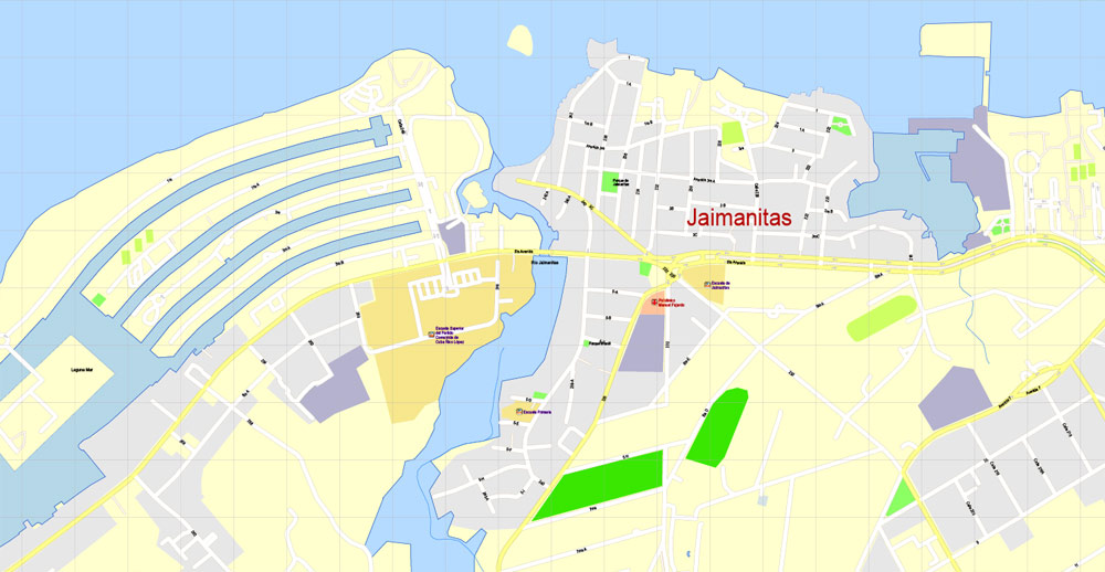
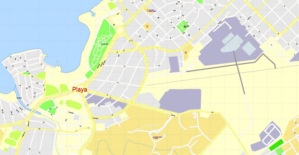
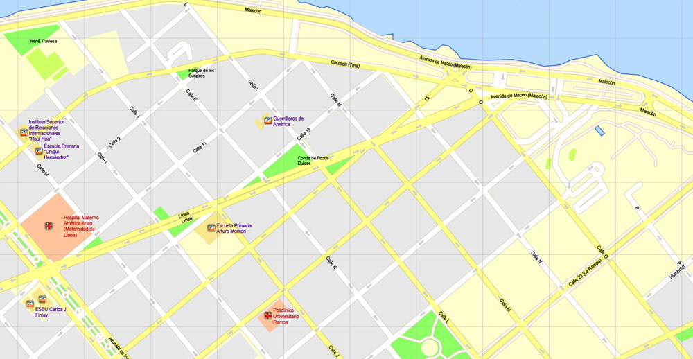
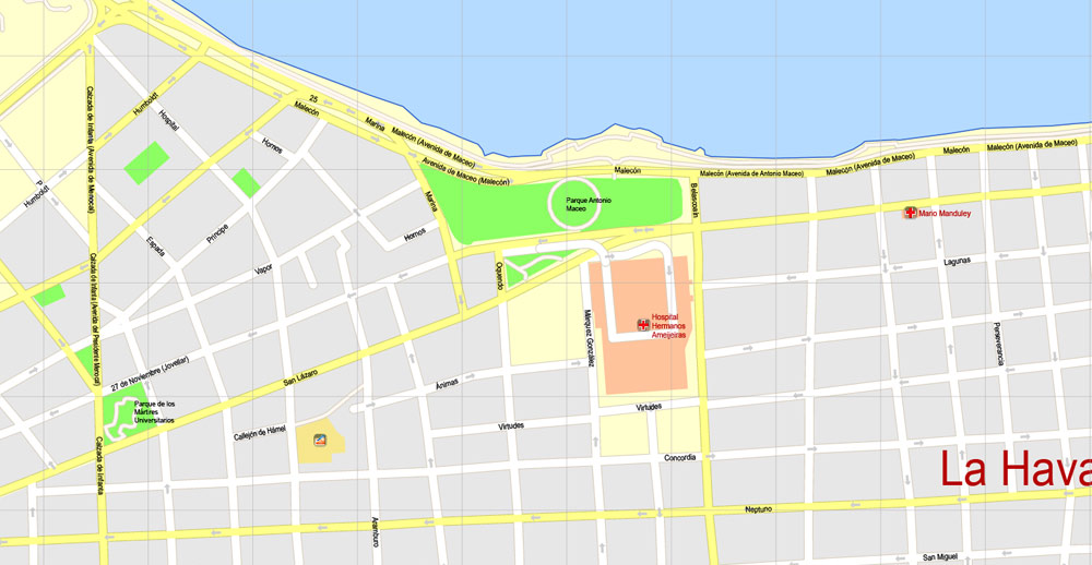
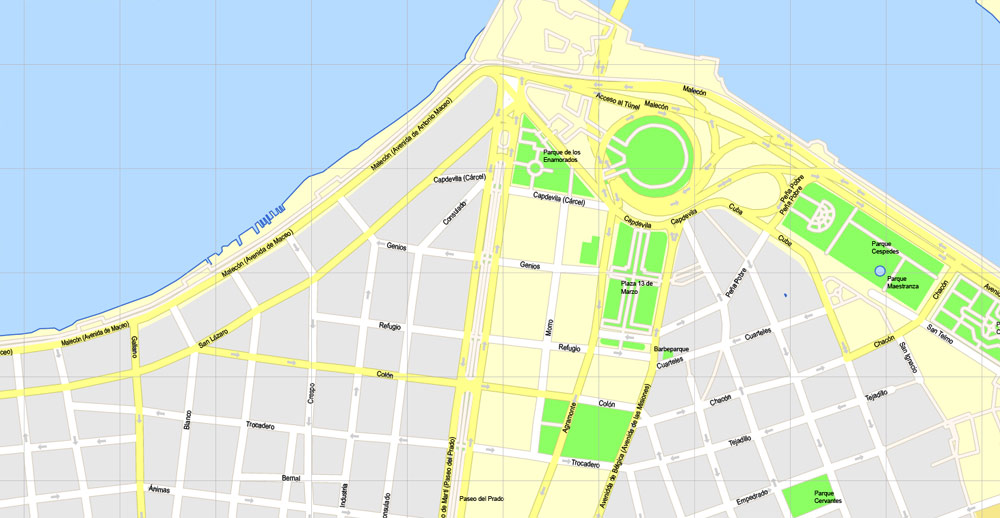
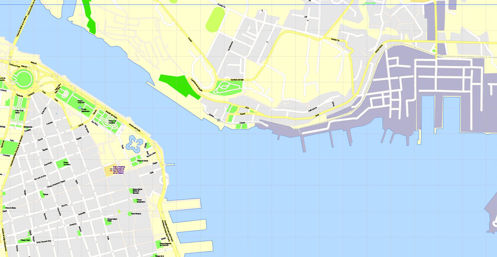
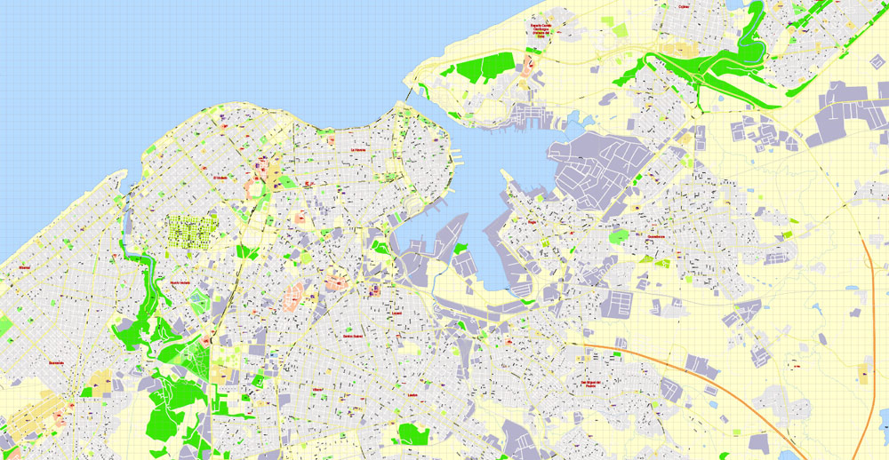
Printable Map Havana, Cuba, exact vector street G-View Plan City Level 17 (100 meters scale) map, V.14.02. fully editable, Adobe Illustrator, full vector, scalable, editable text format of street names, 5 Mb ZIP.
All streets named, main objects, no buildings. Map for publishing, design, printing, publications, arts, projects, presentations, for architects, designers and builders, business, logistics. The most exact and detailed map.
Separated layers: streets and roads, color fills, arrows streets, names 1,2,3, water objects, scales, grids, legend.
For printing LARGE (Wall) format.
DWG, DXF, CDR, ESRI Shapes, and other formats – by request, same price, please contact.
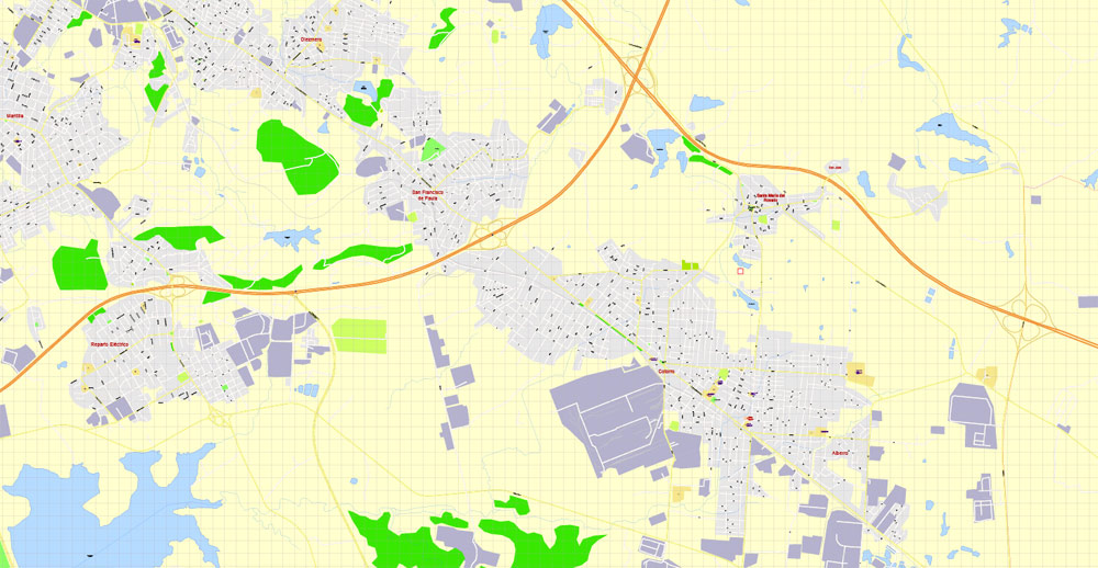
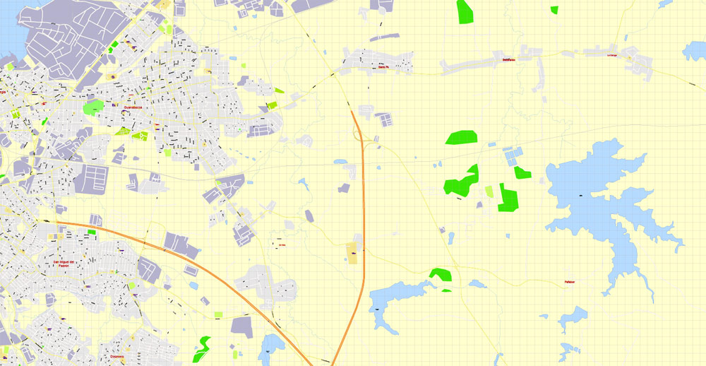
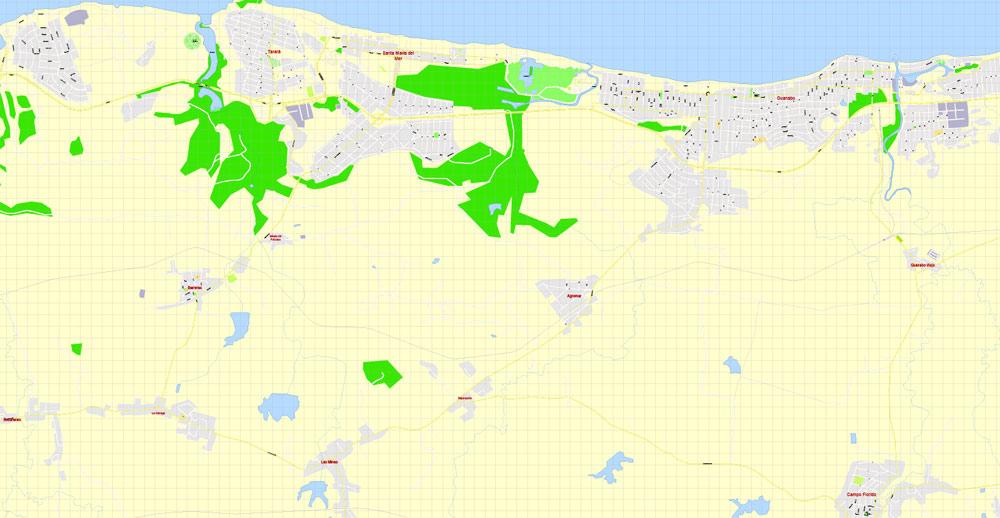
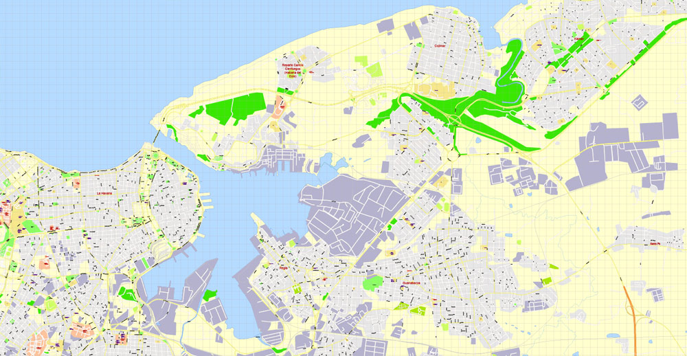
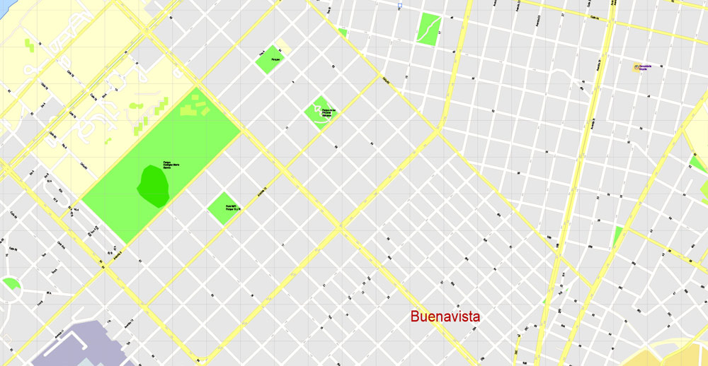
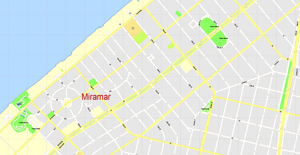
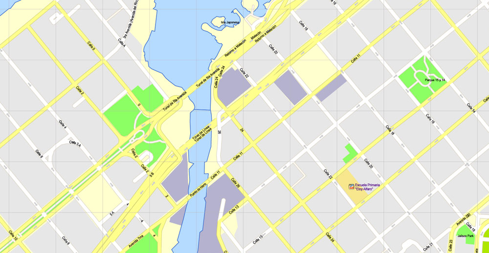
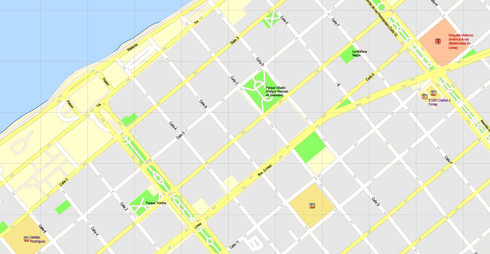
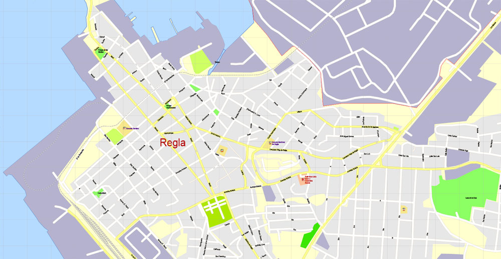
Havana, Cuba.
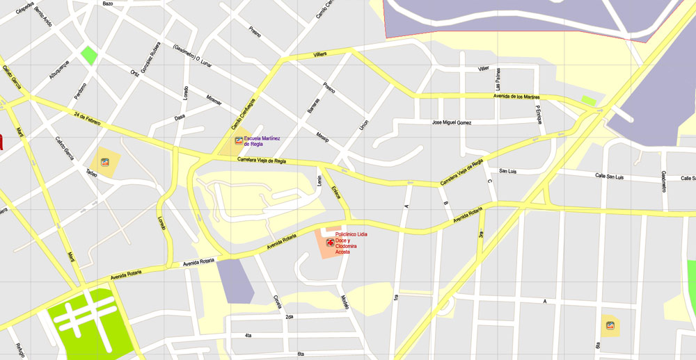
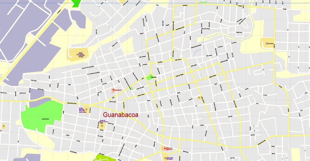
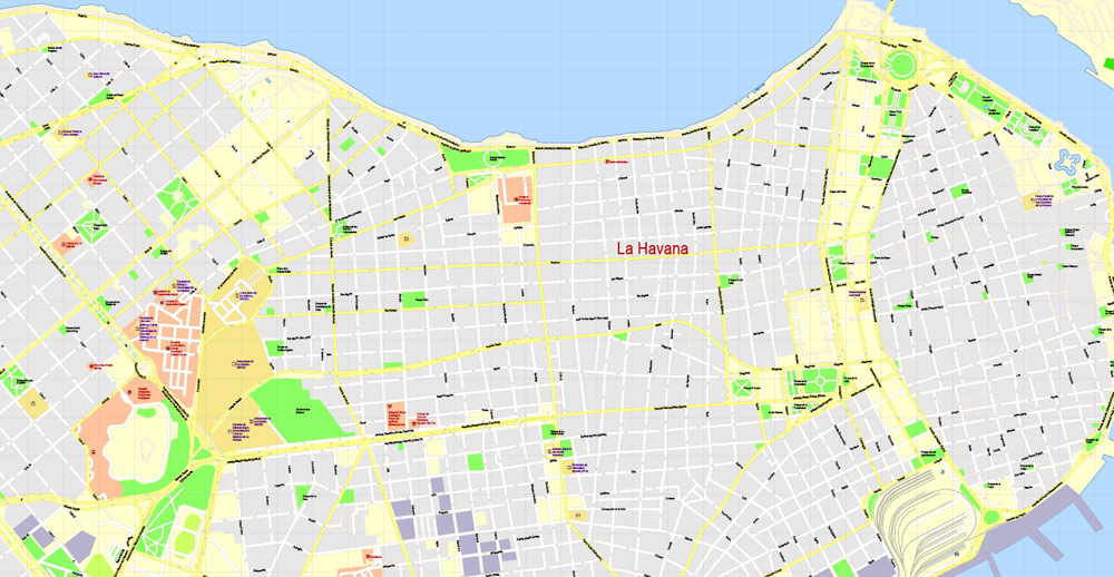
This vector map of Havana city is used as a basis for design, editing, and further printing.
This is the most detailed, exact map of Havana city for high-quality printing and polygraphy. You can always clarify the map development date by contacting us.
For your convenience, all objects on Havana vector city map are divided into layers. And the editing is very easy – colors, lines, etc.
You can easily add any objects needed (e.g. shops, salons, sale points, gas station or attraction) on any layer of Havana vector map.
Havana is the capital city, largest city, province, major port, and leading commercial center of Cuba. The city has a population of 2.1 million inhabitants, and it spans a total of 781.58 km2 (301.77 sq mi) – making it the largest city by area, the most populous city, and the fourth largest metropolitan area in the Caribbean region.
One of the advantages of Havana city vector maps of our production is the relevance of cartographic data, we constantly update all our products.
This vector map of Havana city is used by:
designers, layout designers, printers, advertisers and architects. Our product – vector maps – is designed for further editing and printing in large formats – from @Wall format (a few meters) to A-0 and A-1, A-2, A-3.
Havana city map in vector format is used for design, urban planning, presentations and media visualizations.
Advertising and presentation map of Havana city (usually the final designer marks the routes, and puts the client’s objects (shops, saloons, gas stations etc.)
The undoubted advantage is that people will NEVER throw out this advertising product – the map. In fact, as an advertising medium, a city map is the most “long-playing” of the well-known polygraphic advertising media, with the longest lifespan, and the maximum number of interactions with the customer.
For travelers, maps are sold at the airports and gas stations around the world. Often the source is our vector maps.
Take a look, who purchases our vector maps of Havana city in “Our Clients and Friends” page – these are large and small companies, from super-brands like Volvo and Starbucks, to small design studios and printing houses.
It’s very easy to work with vector maps of Havana city, even for a not very experienced designer who can turn on and off the map layers, add new objects, change the colors of fill and lines according to customer requirements.
The undoubted advantage of Havana city vector maps in printing is an excellent and detailed visualization, when customer can expand a large paper map and instantly define his location, find a landmark, an object or address on map, unlike using the popular electronic formats of Google and Yandex maps for example.
Printable vector maps of Havana city are much more convenient and efficient than any electronic maps on your smartphone, because ALL DETAILS are displayed in the entire space of Havana city map.
Useful tips on working with vector maps of cities and countries in Adobe Illustrator.
«V» – launches the Selection tool (cursor, black arrow), which makes active any vector line.
«А» – launches the Direct Selection tool (white cursor), allows you to select curve elements and drag them to the desired place.
«R» – activates the Rotate tool, which helps you rotating selected objects around the center point by 360 degrees.
«E» – gives you the opportunity to use the Eraser tool and erase unnecessary parts.
«X» – switches between Fill and Stroke in the Tools section. Try to get used to this hot key and
you will quickly understand that you can’t live and work without it.
Guides are not limited to vertical and horizontal in Adobe Illustrator. You can also create a diagonal guide for example. Moreover, you can turn any contours into guides. Select the outline and go to View > Guides > Make Guides (Create Guides), or simply press Cmd/Ctrl + 5. You can also turn the guides back into an editable object. Go to menu, View > Guides > Unlock Guides (Release Guides), select the guide you want to edit and select View > Guides > Release Guides (Reset Guides), or just press Cmd/Ctrl + Option / Alt + 5).
You will probably want to change the color scheme used on our Havana vector city map.
To quickly and effectively play with colors.
Of course, you can do it manually, all objects in our Havana city vector map are divided according to types and layers, and you can easily change the color gamma of vector objects in groups and layers.
The city of Havana was founded by the Spanish in the 16th century and due to its strategic location it served as a springboard for the Spanish conquest of the Americas, becoming a stopping point for treasure-laden Spanish galleons returning to Spain. King Philip II of Spain granted Havana the title of City in 1592. Walls as well as forts were built to protect the old city. The sinking of the U.S. battleship Maine in Havana’s harbor in 1898 was the immediate cause of the Spanish–American War.
But there is more effective way of working with the whole VECTOR MAP of Havana city and all layers:
The overview dialog «Edit colors»/«Repaint Graphic Object» (this dialog box name can change depending on the context):
If you have selected a part or a layer of Havana city vector map and open the dialog box by clicking the icon in the Control panel, on the Samples palette or the Color Catalog, or if you choose Edit > Edit Colors> Repaint Graphic Object, then the «Repaint Graphic Object» dialog box appears, and you get access to «Assign» and «Edit» tabs.
If a picture or a map fragment is not selected, and you open the dialog box by clicking the icon in the Control panel, on the Samples palette or in the Color Catalog, the «Edit Colors» dialog box appears and you can only access the «Edit» tab.
Regardless of the name at the top of the dialog box, the right-hand side always displays the color group of the current document, as well as two default color groups: Print Color and Grayscale. These color groups can be selected and used any time.
The city is the center of the Cuban government, and home to various ministries, headquarters of businesses and over 90 diplomatic offices. The current mayor is Marta Hernández of the Communist Party of Cuba (PCC). In 2009, the city/province had the third highest income in the country.
Contemporary Havana can essentially be described as three cities in one: Old Havana, Vedado and the newer suburban districts. The city extends mostly westward and southward from the bay, which is entered through a narrow inlet and which divides into three main harbors: Mari melena, Guanabacoa and Antares. The sluggish Almendares River traverses the city from south to north, entering the Straits of Florida a few miles west of the bay.
Create and edit color groups of Havana city vector map, and also assign colors using the «Edit Colors»/ а «Repaint Graphic Object» dialog box.
A. Creating and editing of a color group on the «Edit» tab
B. Assigning colors on the «Assign» tab
C. Select a group of colors from the «Color groups» list
The option «Repaint a graphic object» in the lower part of the dialog box allows you to preview the colors on a selected layer of Vector map, or a group of elements, and specify whether its colors will be redefined when the dialog box is closed.
The main areas of the dialog box are:
«Edit»
The «Edit» tab is designed to create a new or edit the existing color groups.
The harmony rules Menu and the Color Wheel are used to conduct experiments with color harmonies. The color wheel shows how colors are related in color harmony, and the color bars allow you to view and manipulate an individual color values. In addition, you can adjust the brightness, add and remove colors, save color groups and view colors on the selected Vector Map of Havana city or a separated layers.
«Assign»
The «Assign» tab is used to view and control on how the original colors are replaced with colors from the color group like your corporate colors in the Vector Map of Havana city.
The assign color ability is provided only if the entire map, layer or fragment is selected in the document. You can specify which of new colors replace the current colors, whether the spot colors should be preserved and how colors are replaced (for example, you can replace colors completely or changing the color tone while maintaining the brightness). The «Assign» tab allows you to redefine colors in the Vector Map of Havana city, or in separate layers and fragments using the current color group or reducing the number of colors in the current Vector Map.
The city attracts over a million tourists annually; the Official Census for Havana reports that in 2010 the city was visited by 1,176,627 international tourists, a 20% increase from 2005. Old Havana was declared a UNESCO World Heritage Site in 1982. The city is also noted for its history, culture, architecture and monuments. As typical of Cuba, Havana experiences a tropical climate.
«Repaint Graphic object» button on the «Control» panel.
Use this button if you need to adjust colors of Havana city vector map using the а «Repaint graphic object» dialog box.
The specified button is available if the selected vector map or its fragment contains two or more colors.
Note. This color editing method is convenient for global color adjustment in a vector map, if global colors were not used when creating a City Map of Havana.
The «Edit colors» button or «Edit or apply colors» on the «Color Catalog» palette
Click this button if you need to edit colors on the «Color Catalog» palette or edit and then apply them to the selected Vector Map of Havana city or its fragment.
The «Edit color group» button or «Edit or apply color group» on the «Samples» palette.
Click this button if you need to edit the colors in the specific color group or edit and apply them to the selected Vector Map of Havana city or a group of its elements, for example, the whole layer “Streets and lines”. You can also double-click the color group in the Samples panel to open the dialog box.
If the map file is too large and your computer freezes or even can’t open it quickly:
1. Try to reduce the color resolution of the video card (display) to 256 colors while working with a large map.
2. Using Windows Task Manager, select all the application you don’t need, while working with map, just turn them off.
3. Launch Adobe Illustrator. (DO NOT OPEN the vector map file)
4. Start the Windows Task Manager using administrator rights > Find the “Illustrator” process > set the «real time» priority,
5. Open the file. When you see the LEGACY FONT popup window – click “OK” (do not update). You can restore the TEXT later.
6. Can also be useful: When file is opened – Edit > Settings > Basic Settings > disable smoothing. /// It looks scary, but works quickly)))
We recommend saving the file in Adobe Illustrator 10 version. It’s much more stable when working with VERY BIG size files.
The low hills on which the city lies rise gently from the deep blue waters of the straits. A noteworthy elevation is the 200-foot-high (60-metre) limestone ridge that slopes up from the east and culminates in the heights of La Cabaña and El Morro, the sites of colonial fortifications overlooking the eastern bay. Another notable rise is the hill to the west that is occupied by the University of Havana and the Prince’s Castle. Outside the city, higher hills rise on the west and east.
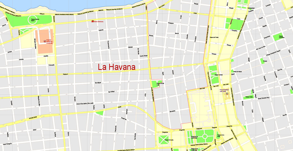
Old Havana
Old Havana, (La Habana Vieja in Spanish), contains the core of the original city of Havana, with more than 2,000 hectares it exhibits almost all the Western architectural styles seen in the New World. La Habana Vieja was founded by the Spanish in 1519 in the natural harbor of the Bay of Havana. It became a stopping point for the treasure laden Spanish Galleons on the crossing between the New World and the Old World. In the 17th century it was one of the main shipbuilding centers. The city was built in baroque and neoclassic style.
Many buildings have fallen in ruin but a number are being restored. The narrow streets of Old Havana contain many buildings, accounting for perhaps as many as one-third of the approximately 3,000 buildings found in Old Havana.
Old Havana is the ancient city formed from the port, the official center and the Plaza de Armas. Alejo Carpentier called Old Havana the place “de las columnas” (of the columns). The Cuban government is taking many steps to preserve and to restore Old Havana, through the Office of the city historian, directed by Eusebio Leal. Old Havana and its fortifications were added to the UNESCO World Heritage List in 1982. The beauty of Old Havana City attracts millions of tourists each year who enjoy its rich old culture and folk music.
In spring 2015, the largest open-air art exhibition ever in Cuba took in front of the basilica on the Plaza San Francisco de Asis: Over eight weeks the United Buddy Bears visited Havana. United Buddy Bears exhibitions are part of a non-commercial and non-profit project. The main aim is to promote the idea of tolerance and mutual understanding between countries, cultures and religions and to communicate a vision of a future peaceful world.
Barrio Chino
Barrio Chino was once Latin America’s largest and most vibrant Chinese community, incorporated into the city by the early part of the 20th century. Hundreds of thousands of Chinese workers were brought in by Spanish settlers from Guangdong, Fujian, Hong Kong, and Macau via Manila, Philippines starting in the mid-19th century to replace or work alongside African slaves. After completing 8-year contracts, many Chinese immigrants settled permanently in Havana.
The first 206 Chinese-born arrived in Havana on June 3, 1847. The neighborhood was booming with Chinese restaurants, laundries, banks, pharmacies, theaters and several Chinese-language newspapers, the neighborhood comprised 44 square blocks during its prime. The heart of Barrio Chino is on el Cuchillo de Zanja (or The Zanja Canal). The strip is a pedestrian-only street adorned with many red lanterns, dancing red paper dragons and other Chinese cultural designs, there is a great number of restaurants that serve a full spectrum of Chinese dishes – unfortunately that ‘spectrum’ is said by many not to be related to real Chinese cuisine.
The district has two paifang, the larger one located on Calle Dragones. China donated the materials in the late 1990s. It has a well defined written welcoming sign in Chinese and Spanish. The smaller arch is located on Zanja strip. The Cuban’s Chinese boom ended when Fidel Castro’s 1959 revolution seized private businesses, sending tens of thousands of business-minded Chinese fleeing, mainly to the United States. Descendants are now making efforts to preserve and revive the culture.
Small guide: How to work with the vector map?
You can: Mass select objects by type and color – for example, the objects type “building” (they are usually dark gray) – and remove them from the map, if you do not need them in your print or design project. You can also easily change the thickness of lines (streets), just bulk selection the road by the line color.
The streets are separated by type, for example, type “residential road” are usually white with a gray stroke. Highway usually orange with a brown or dark gray stroke.
It is easy to change the font of inscriptions, all or each individually. Also, just can be make and any other manipulation of objects on the vector map in Adobe illustrator format.
Important: All the proportions on the map are true, that is, the relative sizes of the objects are true, because Map is based on an accurate GPS projection, and It transated into the (usual for all) the Mercator projection.
You can easily change the color, stroke and fill of any object on the map, zoom without loss of quality Image Verification.
Select object

Bulk selection the same objects on the vector map

See the bulk selected objects on the vector map

Bulk delete buildungs from the vector map

Select residencial road (small street) on the vector map

Bulk selection the same lines (streets, roads) on the full map

Create fat lines of the streets on the vector maps (bulk action) 1

Create fat lines of the streets on the vector maps (bulk action) 2

Create fat lines of the streets on the vector maps (bulk action) 3

You can easily change the color, stroke and fill of any object on the map, zoom without loss of quality Image Verification.

 Author: Kirill Shrayber, Ph.D. FRGS
 map, V.14.02. fully editable, Adobe Illustrator")
