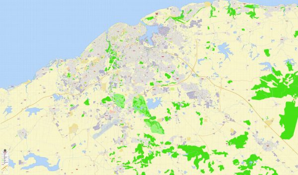
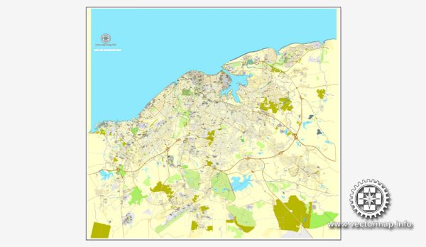
Havana, the capital city of Cuba, has a rich history of urban development that spans over five centuries. The city’s history reflects the influences of Spanish colonialism, African culture, and various architectural styles that have shaped its unique character. Here is an overview of the history of urban development in Havana:
- Colonial Period (16th – 19th centuries):
- Foundation: Havana was founded by Spanish conquistadors in 1514, although it officially became a city in 1592. Its strategic location on the northwestern coast of the island made it a crucial port for Spanish galleons traveling between the New World and Spain.
- Fortifications: Due to its strategic importance, Havana was heavily fortified with a system of forts, walls, and other defensive structures. The most famous of these is the Castillo de la Real Fuerza, built in the 16th century.
- Architectural Styles: The colonial architecture of Havana reflects Spanish influences, with narrow winding streets, colorful facades, and intricate wrought-iron balconies. Many of these buildings were constructed with a mix of Spanish, Moorish, and Baroque styles.
- 19th Century:
- Economic Growth: The 19th century saw significant economic growth in Havana, driven by the sugar industry and trade. This prosperity led to the construction of grand mansions, theaters, and public buildings, including the Gran Teatro de La Habana and the Capitolio.
- Expansion: Havana expanded beyond its original city walls, and new neighborhoods emerged. The Paseo del Prado, a tree-lined boulevard, became a central feature of the city.
- 20th Century:
- American Influence: In the early 20th century, Havana experienced American influence, particularly during Prohibition in the United States. The city became a popular destination for Americans seeking entertainment, leading to the development of casinos, hotels, and vibrant nightlife in areas like Vedado.
- Modernist Architecture: The mid-20th century brought modernist influences to Havana’s architecture. Notable examples include the Edificio Focsa, a residential skyscraper, and the Ministry of Interior building with its iconic mural of Che Guevara.
- Post-Revolution (1959 Onward):
- Socialist Urban Planning: After the Cuban Revolution in 1959, the government focused on socialist urban planning. There was an emphasis on affordable housing, education, and healthcare. Some private properties were nationalized, and new public spaces, such as the Plaza de la Revolución, were created.
- Challenges and Preservation: The city faced challenges, including economic difficulties and the U.S. embargo. Despite these challenges, efforts were made to preserve the historic core of Old Havana, which was designated a UNESCO World Heritage Site in 1982.
- Contemporary Developments:
- Tourism: In recent decades, there has been a growing interest in tourism, leading to the restoration of historic buildings and the development of tourist infrastructure. However, there are ongoing debates about balancing tourism with the preservation of the city’s authenticity.
- Infrastructure: Efforts have been made to improve infrastructure, including transportation and housing. The Malecón, a seawall and esplanade along the city’s coastline, remains a popular social and recreational space.
Havana’s urban development reflects its diverse history, from colonial influences to socialist planning and contemporary challenges and opportunities. The city continues to evolve while preserving its rich cultural and architectural heritage.


 Author: Kirill Shrayber, Ph.D.