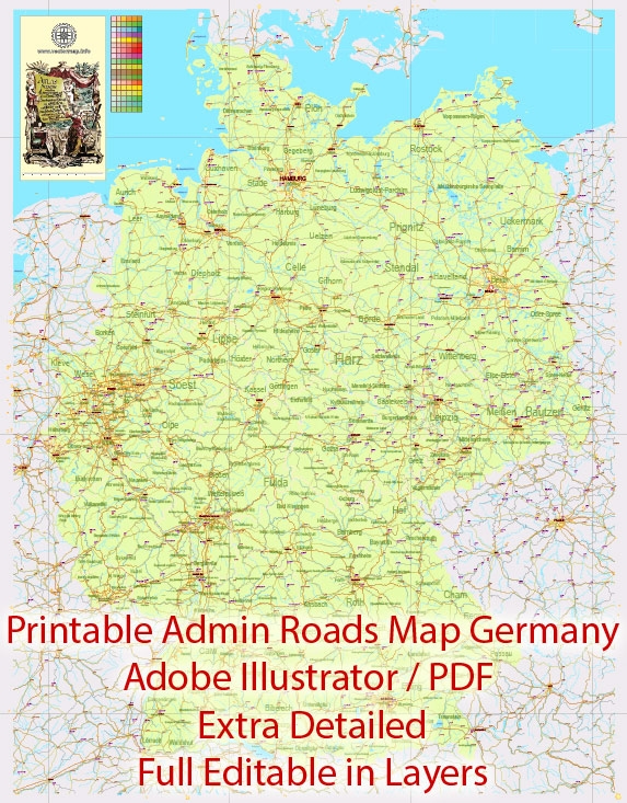
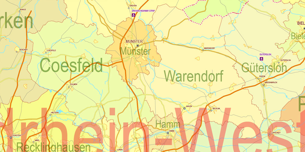
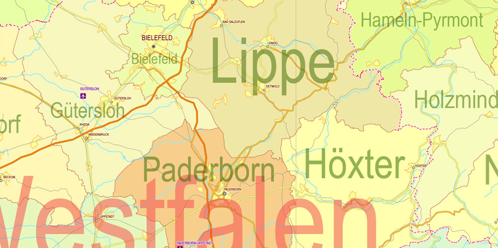
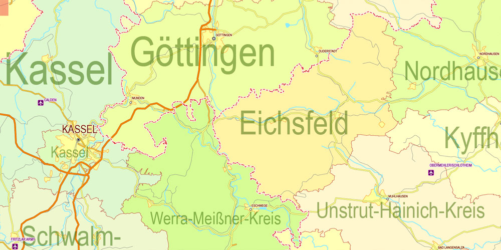
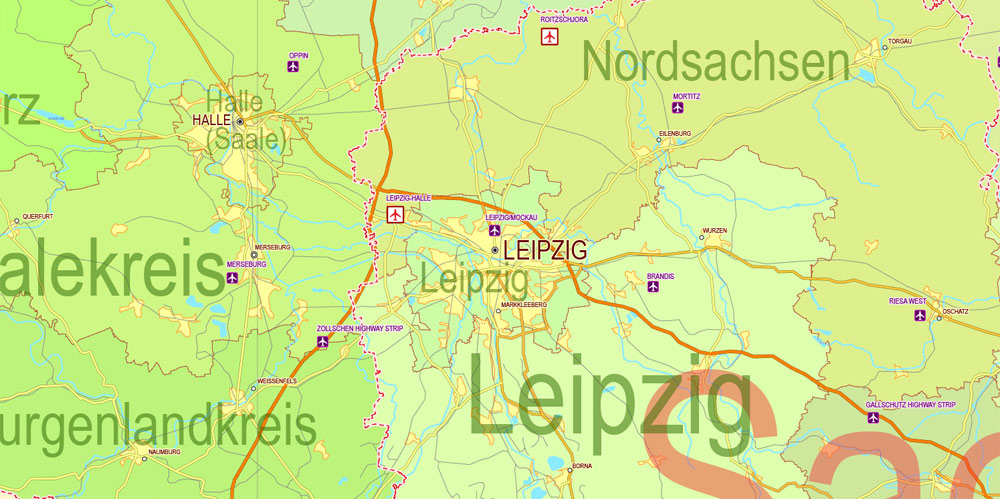
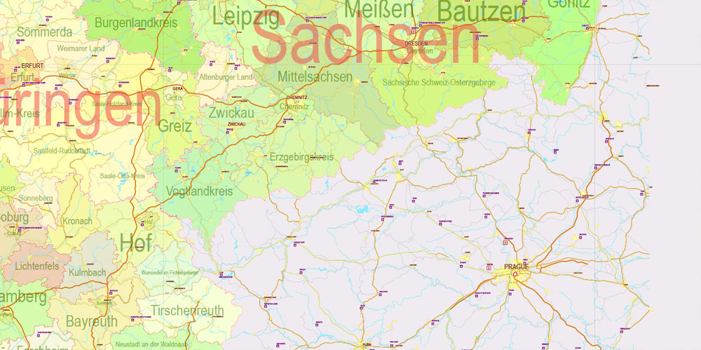
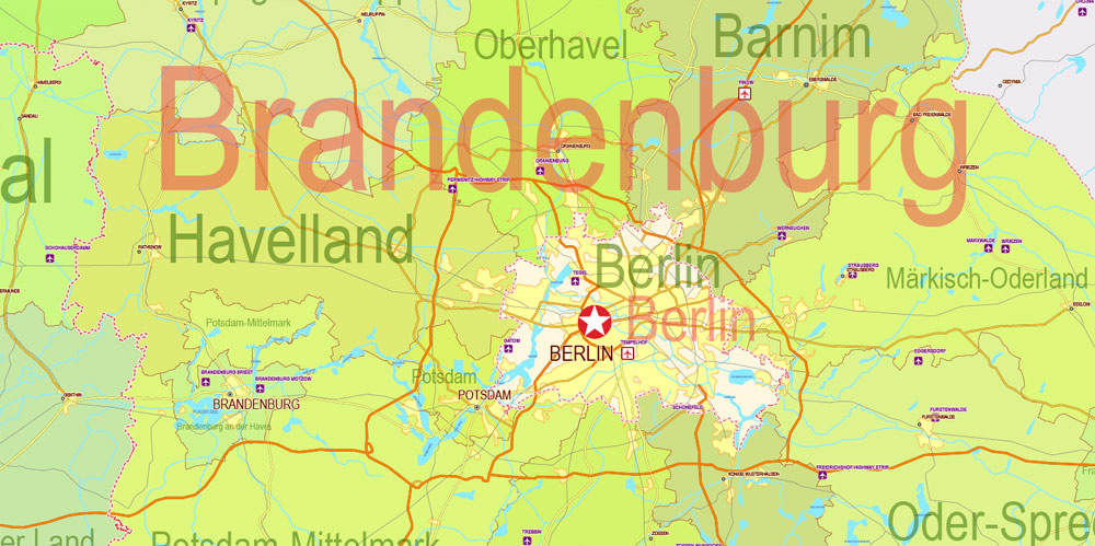
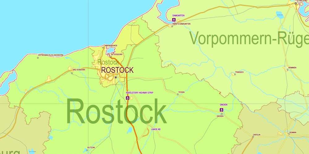
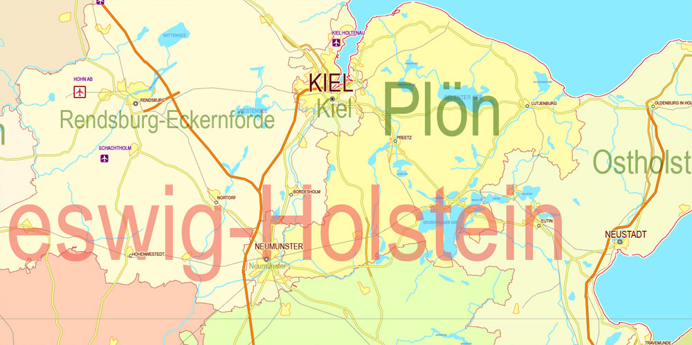
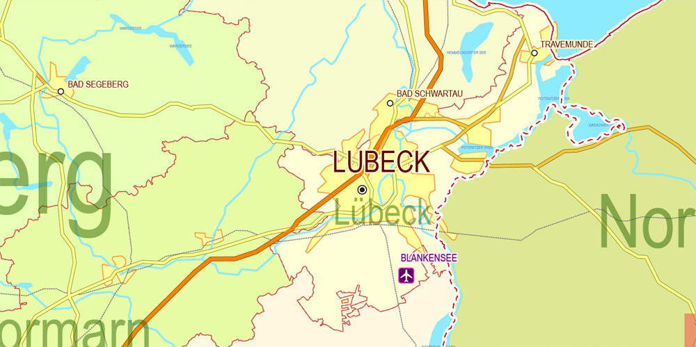
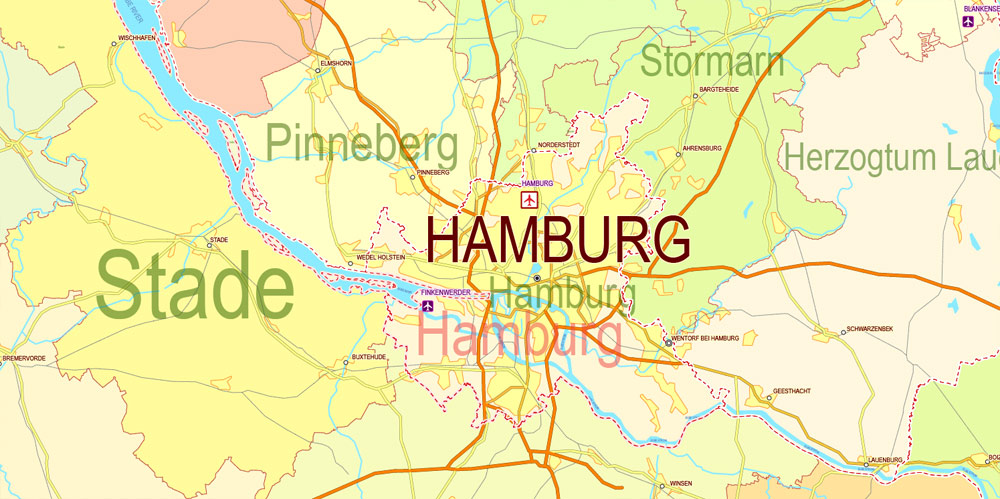
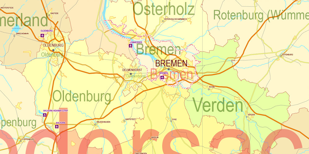
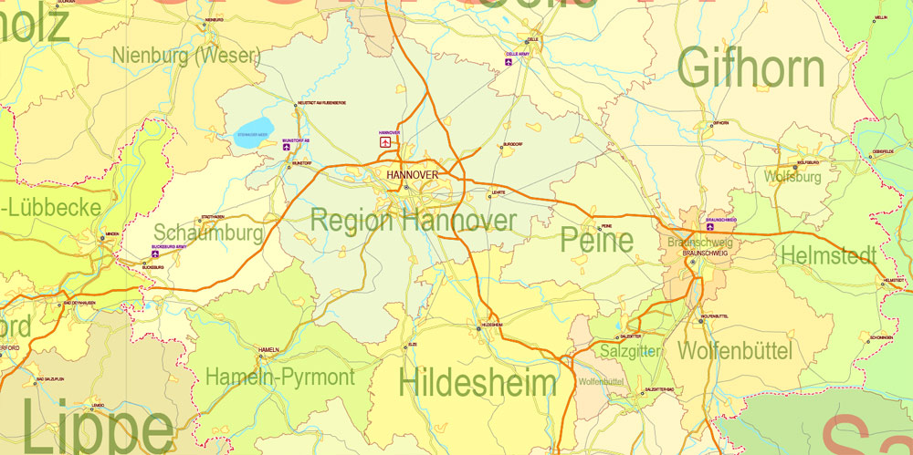
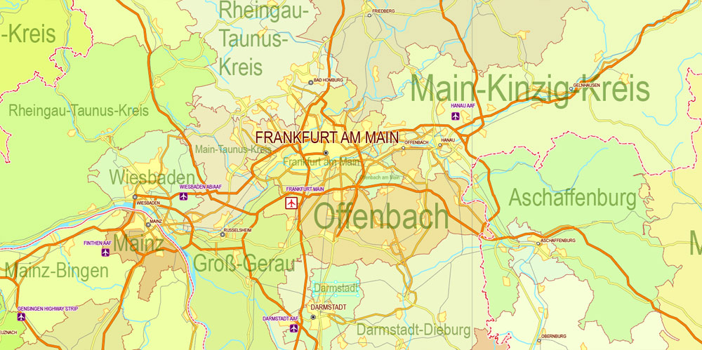
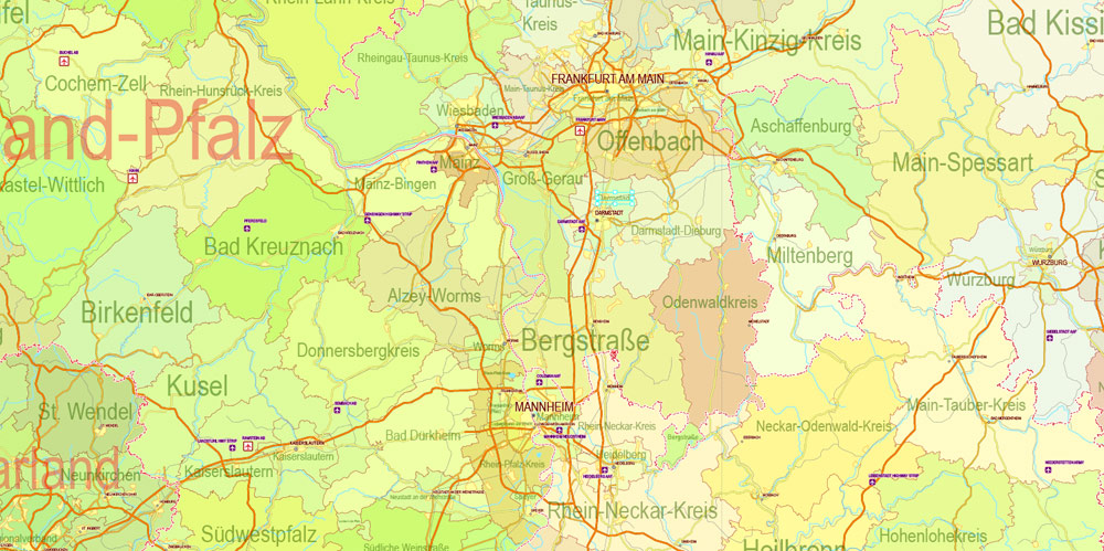
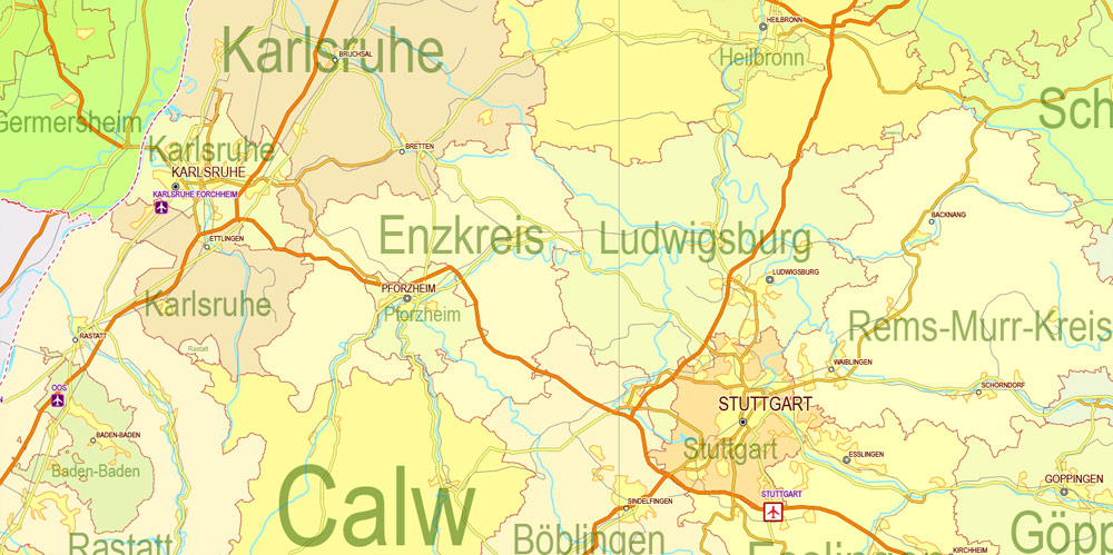
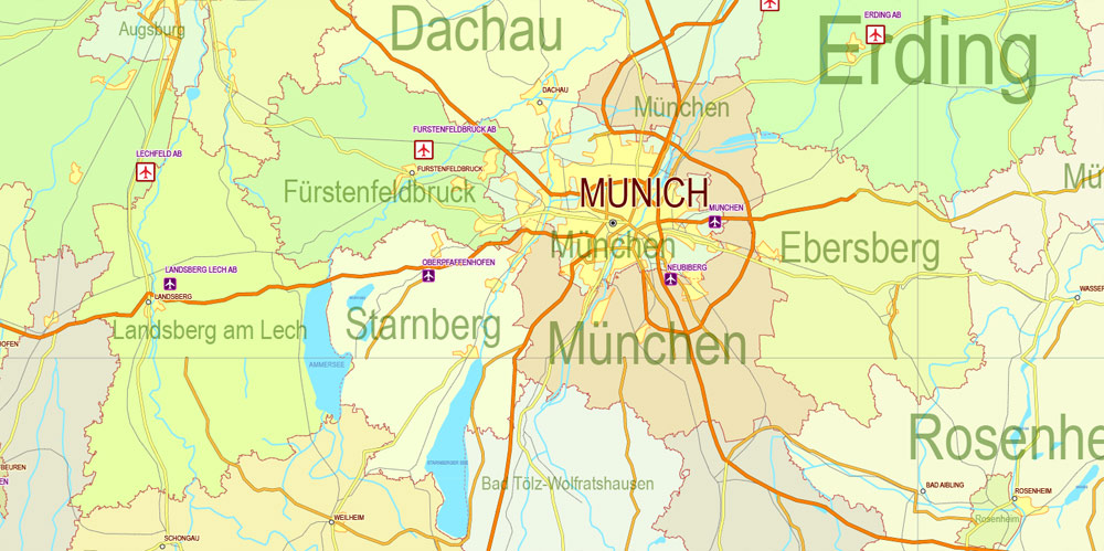
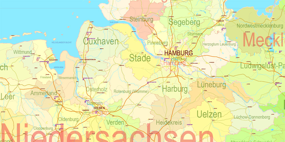
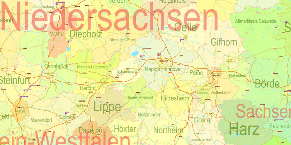
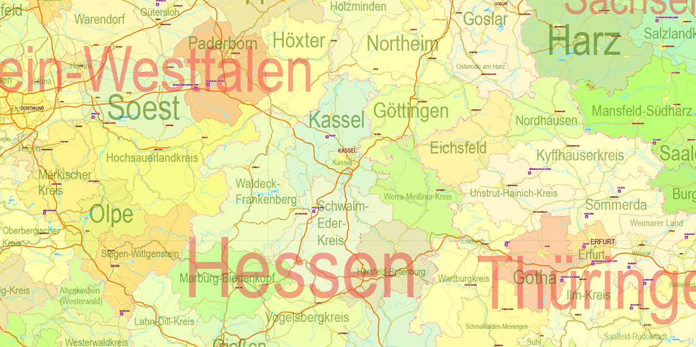
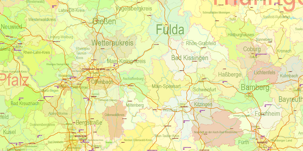
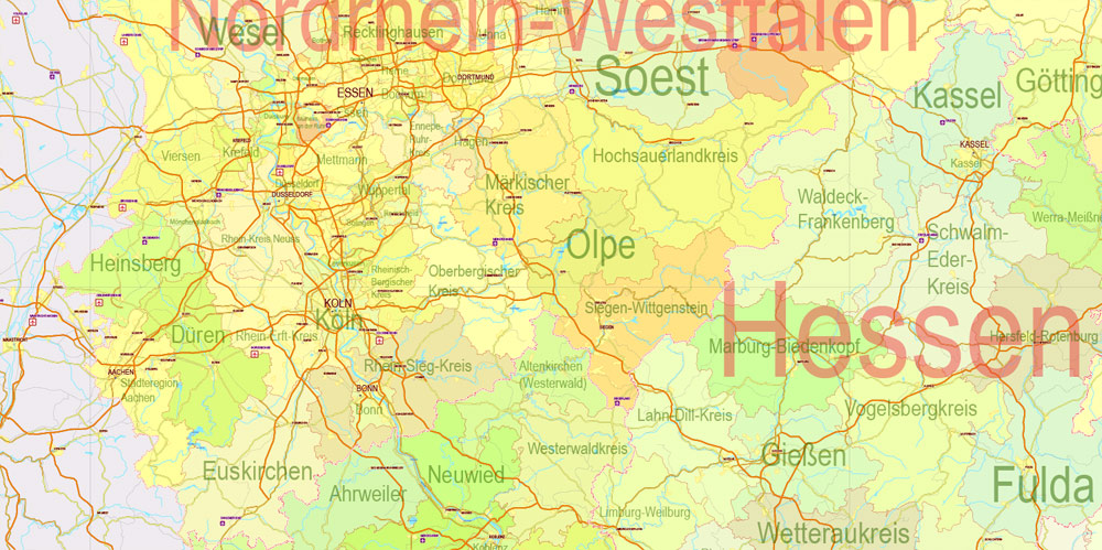
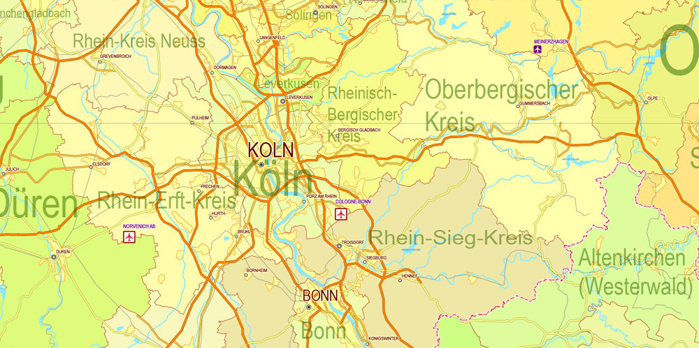
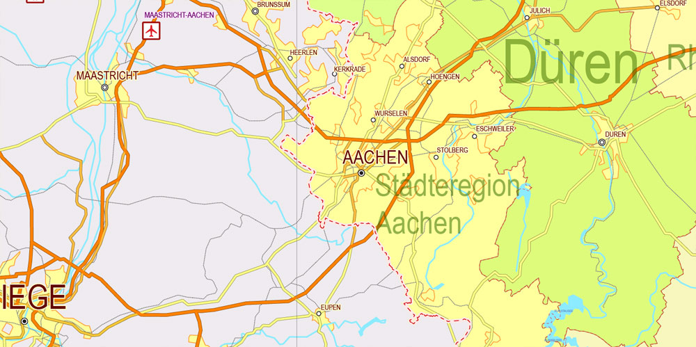
Printable Editable Map Germany Administrative Divisions – Provinces (States), Districts, Roads, Cities, Airports, Railroads Adobe Illustrator, scalable, editable text format names, 26 Mb ZIP.
All provinces and districts named. Map for publishing, design, printing, publications, arts, projects, presentations, for architects, designers and builders, business, logistics. The most exact and detailed map of the Germany administrative divisions.
Separated layers: provinces, borders provinces, districts, water objects, names_water, names provinces, urban_areas, names_districta, grids, roads. railroads, Cities, airports, etc.
DWG, DXF, CDR and other formats – by request, same price, please contact.
Germany.
This vector map of Germany is used as a basis for design, editing, and further printing.
This is the most detailed, exact map of Germany for high-quality printing and polygraphy. You can always clarify the map development date by contacting us.
For your convenience, all objects on Germany vector map are divided into layers. And the editing is very easy – colors, lines, etc.
You can easily add any objects needed (e.g. shops, salons, sale points, gas station or attraction) on any layer of Germany vector map.
Germany is a country in Central and Western Europe, lying between the Baltic and North seas to the north, and the Alps to the south. It borders Denmark to the north, Poland and the Czech Republic to the east, Austria and Switzerland to the south, and France, Luxembourg, Belgium and the Netherlands to the west. Germany includes 16 constituent states, covers an area of 357,386 square kilometres (137,988 sq mi), and has a largely temperate seasonal climate.
One of the advantages of Germany vector maps of our production is the relevance of cartographic data, we constantly update all our products.
This vector map of Germany is used by:
designers, layout designers, printers, advertisers and architects. Our product – vector maps – is designed for further editing and printing in large formats – from @Wall format (a few meters) to A-0 and A-1, A-2, A-3.
The Germany map in vector format is used for design, urban planning, presentations and media visualizations.
The advertising and presentation map of Germany (usually the final designer marks the routes, and puts the client’s objects (shops, saloons, gas stations etc.)
The undoubted advantage is that people will NEVER throw out this advertising product – the map. In fact, as an advertising medium, a map is the most “long-playing” of the well-known polygraphic advertising media, with the longest lifespan, and the maximum number of interactions with the customer.
For travelers, maps are sold at the airports and gas stations around the world. Often the source is our vector maps.
Take a look, who purchases our vector maps of Germany in “Our Clients and Friends” page – these are large and small companies, from super-brands like Volvo and Starbucks, to small design studios and printing houses.
It’s very easy to work with vector maps of Germany city, even for a not very experienced designer who can turn on and off the map layers, add new objects, change the colors of fill and lines according to customer requirements.
The undoubted advantage of Germany vector maps in printing is an excellent and detailed visualization, when customer can expand a large paper map and instantly define his location, find a landmark, an object or address on map, unlike using the popular electronic formats of Google and Yandex maps for example.
Printable vector maps of Germany are much more convenient and efficient than any electronic maps on your smartphone, because ALL DETAILS are displayed in the entire space of Germany map.
Useful tips on working with vector maps of cities and countries in Adobe Illustrator.
«V» – launches the Selection tool (cursor, black arrow), which makes active any vector line.
«А» – launches the Direct Selection tool (white cursor), allows you to select curve elements and drag them to the desired place.
«R» – activates the Rotate tool, which helps you rotating selected objects around the center point by 360 degrees.
«E» – gives you the opportunity to use the Eraser tool and erase unnecessary parts.
«X» – switches between Fill and Stroke in the Tools section. Try to get used to this hot key and
you will quickly understand that you can’t live and work without it.
Guides are not limited to vertical and horizontal in Adobe Illustrator. You can also create a diagonal guide for example. Moreover, you can turn any contours into guides. Select the outline and go to View > Guides > Make Guides (Create Guides), or simply press Cmd/Ctrl + 5. You can also turn the guides back into an editable object. Go to menu, View > Guides > Unlock Guides (Release Guides), select the guide you want to edit and select View > Guides > Release Guides (Reset Guides), or just press Cmd/Ctrl + Option / Alt + 5).
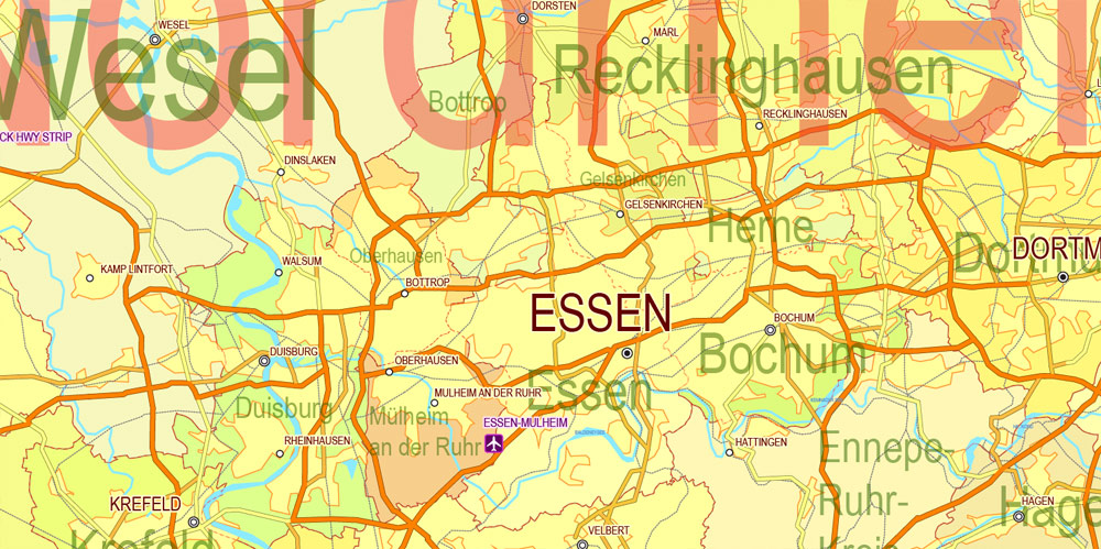
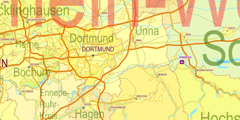
With nearly 83 million inhabitants, it is the second most populous state of Europe after Russia, the most populous state lying entirely in Europe, as well as the most populous member state of the European Union. Germany is a very decentralized country. Its capital and largest metropolis is Berlin, while Frankfurt serves as its financial capital and has the country’s busiest airport. Many federal institutions have their (secondary) seat in the Federal city of Bonn. Germany’s largest conurbation is the Ruhr, with its main centres of Dortmund and Essen. The country’s other major cities are Hamburg, Munich, Cologne, Stuttgart, Düsseldorf, Leipzig, Bremen, Dresden, Hannover, and Nuremberg.
You will probably want to change the color scheme used on our Germany vector map.
To quickly and effectively play with colors.
Of course, you can do it manually, all objects in our Germany vector map are divided according to types and layers, and you can easily change the color gamma of vector objects in groups and layers.
But there is more effective way of working with the whole VECTOR MAP of Germany and all layers:
The overview dialog «Edit colors»/«Repaint Graphic Object» (this dialog box name can change depending on the context):
If you have selected a part or a layer of Germany vector map and open the dialog box by clicking the icon in the Control panel, on the Samples palette or the Color Catalog, or if you choose Edit > Edit Colors> Repaint Graphic Object, then the «Repaint Graphic Object» dialog box appears, and you get access to «Assign» and «Edit» tabs.
If a picture or a map fragment is not selected, and you open the dialog box by clicking the icon in the Control panel, on the Samples palette or in the Color Catalog, the «Edit Colors» dialog box appears and you can only access the «Edit» tab.
Regardless of the name at the top of the dialog box, the right-hand side always displays the color group of the current document, as well as two default color groups: Print Color and Grayscale. These color groups can be selected and used any time.
Various Germanic tribes have inhabited the northern parts of modern Germany since classical antiquity. A region named Germania was documented before 100 AD. During the Migration Period, the Germanic tribes expanded southward. Beginning in the 10th century, German territories formed a central part of the Holy Roman Empire. During the 16th century, northern German regions became the centre of the Protestant Reformation. After the collapse of the Holy Roman Empire, the German Confederation was formed in 1815. The German revolutions of 1848–49 resulted in the Frankfurt Parliament establishing major democratic rights.
Create and edit color groups of Germany vector map, and also assign colors using the «Edit Colors»/ а «Repaint Graphic Object» dialog box.
A. Creating and editing of a color group on the «Edit» tab
B. Assigning colors on the «Assign» tab
C. Select a group of colors from the «Color groups» list
The option «Repaint a graphic object» in the lower part of the dialog box allows you to preview the colors on a selected layer of Vector map, or a group of elements, and specify whether its colors will be redefined when the dialog box is closed.
The main areas of the dialog box are:
«Edit»
The «Edit» tab is designed to create a new or edit the existing color groups.
The harmony rules Menu and the Color Wheel are used to conduct experiments with color harmonies. The color wheel shows how colors are related in color harmony, and the color bars allow you to view and manipulate an individual color values. In addition, you can adjust the brightness, add and remove colors, save color groups and view colors on the selected Vector Map of Germany or a separated layers.
«Assign»
The «Assign» tab is used to view and control on how the original colors are replaced with colors from the color group like your corporate colors in the Vector Map of Germany city.
In 1871, Germany became a nation state when most of the German states (most notably excluding Switzerland and Austria) unified into the Prussian-dominated German Empire. After World War I and the revolution of 1918–19, the Empire was replaced by the parliamentary Weimar Republic. The Nazi seizure of power in 1933 led to the establishment of a dictatorship, World War II and the Holocaust. After the end of World War II in Europe and a period of Allied occupation, two German states were founded: West Germany, formed from the American, British, and French occupation zones, and East Germany, formed from the Soviet occupation zone.
The assign color ability is provided only if the entire map, layer or fragment is selected in the document. You can specify which of new colors replace the current colors, whether the spot colors should be preserved and how colors are replaced (for example, you can replace colors completely or changing the color tone while maintaining the brightness). The «Assign» tab allows you to redefine colors in the Vector Map of Germany city, or in separate layers and fragments using the current color group or reducing the number of colors in the current Vector Map.
Color groups
Is a list of all saved color groups for current document (the same groups appear in the «Samples» palette). You can edit and delete the existing color groups, as well as creating a new ones using the list of “Color Groups” in the dialog box. All changes appear in the «Samples» palette.
The highlighted color group shows, which color group is currently edited.
Following the Revolutions of 1989 that ended communist rule in Central and Eastern Europe, the country was reunified on 3 October 1990. Today, the sovereign state of Germany is a federal parliamentary republic with an elected president. It is a great power with a strong economy; it has the world’s fourth-largest economy by nominal GDP, and the fifth-largest by PPP. As a global leader in several industrial and technological sectors, it is both the world’s third-largest exporter and importer of goods. A developed country with a very high standard of living, it upholds a social security and universal health care system, environmental protection, and a tuition-free university education.
Any color group can be selected and edited, or used to redefine the colors in the selected vector map of Germany city, its fragments or elements.
Saving a color group adds this group to the specified list.
Opening the «Edit Colors»/«Repaint Graphic Object» dialog box.
Open the «Edit Colors»/«Repaint Graphic Object» dialog box using one of the following methods:
«Edit»> «Edit Colors»> «Repaint Graphic object» or «Repaint With Style».
Use these commands if you need to edit the colors in the selected vector map of Germany city.
«Repaint Graphic object» button on the «Control» panel.
Use this button if you need to adjust colors of Germany vector map using the а «Repaint graphic object» dialog box.
The specified button is available if the selected vector map or its fragment contains two or more colors.
Note. This color editing method is convenient for global color adjustment in a vector map, if global colors were not used when creating a Map of Germany.
The «Edit colors» button or «Edit or apply colors» on the «Color Catalog» palette
Click this button if you need to edit colors on the «Color Catalog» palette or edit and then apply them to the selected Vector Map of Germany or its fragment.
The «Edit color group» button or «Edit or apply color group» on the «Samples» palette.
Click this button if you need to edit the colors in the specific color group or edit and apply them to the selected Vector Map of Germany or a group of its elements, for example, the whole layer “Streets and lines”. You can also double-click the color group in the Samples panel to open the dialog box.
If the map file is too large and your computer freezes or even can’t open it quickly:
1. Try to reduce the color resolution of the video card (display) to 256 colors while working with a large map.
2. Using Windows Task Manager, select all the application you don’t need, while working with map, just turn them off.
3. Launch Adobe Illustrator. (DO NOT OPEN the vector map file)
4. Start the Windows Task Manager using administrator rights > Find the “Illustrator” process > set the «real time» priority,
5. Open the file. When you see the LEGACY FONT popup window – click “OK” (do not update). You can restore the TEXT later.
6. Can also be useful: When file is opened – Edit > Settings > Basic Settings > disable smoothing. /// It looks scary, but works quickly)))
We recommend saving the file in Adobe Illustrator 10 version. It’s much more stable when working with VERY BIG size files.
The Federal Republic of Germany was a founding member of the European Economic Community in 1957 and the European Union in 1993. It is part of the Schengen Area and became a co-founder of the Eurozone in 1999. Germany is a member of the United Nations, NATO, the G7, the G20, and the OECD. Known for its rich cultural history, Germany has been continuously the home of influential and successful artists, philosophers, musicians, sportspeople, entrepreneurs, scientists, engineers, and inventors.
Geography
Germany is in Western and Central Europe, with Denmark bordering to the north, Poland and the Czech Republic to the east, Austria to the southeast, Switzerland to the south-southwest, France, Luxembourg and Belgium lie to the west, and the Netherlands to the northwest. It lies mostly between latitudes 47° and 55° N and longitudes 5° and 16° E. Germany is also bordered by the North Sea and, at the north-northeast, by the Baltic Sea. With Switzerland and Austria, Germany also shares a border on the fresh-water Lake Constance, the third largest lake in Central Europe. German territory covers 357,021 km2 (137,847 sq mi), consisting of 349,223 km2 (134,836 sq mi) of land and 7,798 km2 (3,011 sq mi) of water. It is the seventh largest country by area in Europe and the 64th largest in the world. Elevation ranges from the mountains of the Alps (highest point: the Zugspitze at 2,962 metres or 9,718 feet) in the south to the shores of the North Sea (Nordsee) in the northwest and the Baltic Sea (Ostsee) in the northeast. The forested uplands of central Germany and the lowlands of northern Germany (lowest point: Wilstermarsch at 3.54 metres or 11.6 feet below sea level) are traversed by such major rivers as the Rhine, Danube and Elbe. Germany’s alpine glaciers are experiencing deglaciation. Significant natural resources include iron ore, coal, potash, timber, lignite, uranium, copper, natural gas, salt, nickel, arable land and water.
Physical geography
The northern third of the country lies in the North European Plain, with flat terrain crossed by northward-flowing watercourses (Elbe, Ems, Weser, Oder). Wetlands and marshy conditions are found close to the Dutch border and along the Frisian coast. Sandy Mecklenburg in the northeast has many glacier-formed lakes dating to the last glacial period.
Moving south, central Germany features rough and somewhat patternless hilly and mountainous countryside, some of it formed by ancient volcanic activity. The Rhine valley cuts through the western part of this region. The central uplands continue east and north as far as the Saale and merge with the Ore Mountains on the border with the Czech Republic. Upland regions include the Eifel, Hunsrück and Palatine Forest west of the Rhine, the Taunus hills north of Frankfurt, the Vogelsberg massif, the Rhön, and the Thüringer Wald. South of Berlin, the east-central part of the country is more like the low northern areas, with sandy soil and river wetlands such as the Spreewald region.
Southern Germany’s landforms are defined by various linear hill and mountain ranges like the two adjacent ranges of the Swabian and Franconian Alb (reaching approximately from the source of the Danube in the southwest of Baden-Württemberg, south of Stuttgart, across Swabia into Central Franconia and to the valley of the river Main) and the Bavarian Forest along the border between Bavaria and the Czech Republic. The Alps on the southern border are the highest mountains, but relatively little Alpine terrain lies within Germany (in southeastern Swabia and Upper Bavaria) compared to Switzerland and Austria. The Black Forest, on the southwestern border with France, separates the Rhine from the headwaters of the Danube on its eastern slopes.
Germany
Country in Europe
Germany is a Western European country with a landscape of forests, rivers, mountain ranges and North Sea beaches. It has over 2 millennia of history. Berlin, its capital, is home to art and nightlife scenes, the Brandenburg Gate and many sites relating to WWII. Munich is known for its Oktoberfest and beer halls, including the 16th-century Hofbräuhaus. Frankfurt, with its skyscrapers, houses the European Central Bank.
Area
• Total 357,168 km2 (137,903 sq mi) (62nd)
Population
• 30.06.2016 estimate
Increase 82,349,400
• Density
232/km2 (600.9/sq mi)
List of districts of Germany
Germany is divided into 401 administrative districts; these consist of 294 rural districts (German: Kreise [in North Rhine-Westphalia and Schleswig-Holstein] and Landkreise), and 107 urban districts (German: Kreisfreie Städte or, in Baden-Württemberg only, Stadtkreise – cities that constitute districts in their own right).
, Districts Printable Editable Map + Roads, Cities, Airports, Railroads Adobe Illustrator")
, Districts Printable Editable Map + Roads, Cities, Airports, Railroads Adobe Illustrator")

 Author: Kirill Shrayber, Ph.D. FRGS


