Germany is a country located in Central Europe and is known for its rich history, diverse culture, and strong economy.
Vectormap.Net provide you with the most accurate and up-to-date vector maps in Adobe Illustrator, PDF and other formats, designed for editing and printing. Please read the vector map descriptions carefully.
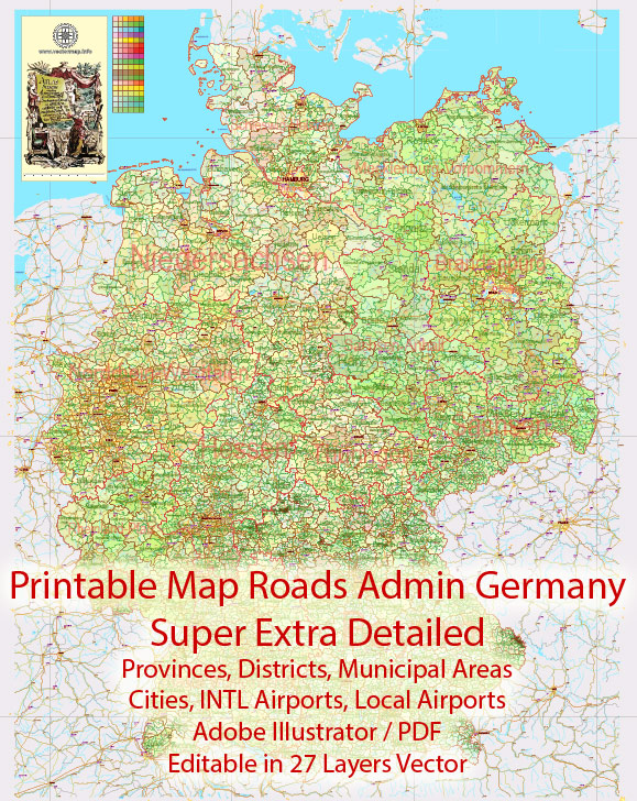
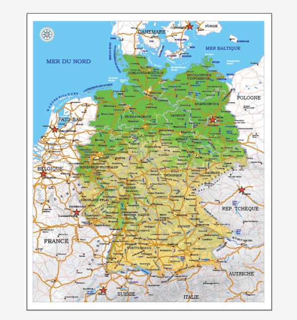
Here’s an overview of some of the main cities and principal roads in Germany:
Main Cities:
- Berlin:
- Capital and largest city of Germany.
- Renowned for its historical significance, cultural landmarks, and vibrant arts scene.
- Key attractions include the Brandenburg Gate, Berlin Wall, and Museum Island.
- Munich (München):
- Located in Bavaria, Munich is known for its traditional culture, Oktoberfest, and historic architecture.
- Home to major companies, museums, and the famous Marienplatz square.
- Hamburg:
- Germany’s second-largest city and a major port on the Elbe River.
- Famous for its maritime history, lively nightlife, and cultural events.
- Cologne (Köln):
- Situated on the Rhine River, Cologne is known for its stunning cathedral (Kölner Dom) and historic Old Town.
- Hosts various festivals and events throughout the year.
- Frankfurt:
- A global financial hub and the largest financial center in continental Europe.
- Features modern skyscrapers, a historic Old Town, and the River Main.
- Stuttgart:
- Capital of the state of Baden-Württemberg.
- Known for its automotive industry, museums, and parks.
- Düsseldorf:
- A city along the Rhine River, known for its fashion industry and art scene.
- Hosts major trade fairs and events.
- Leipzig:
- Historically known for its role in trade and music, particularly as the home of Johann Sebastian Bach.
- Growing as a cultural and economic center.
- Nuremberg (Nürnberg):
- Famous for its medieval architecture, Christmas markets, and historical significance.
- Hosts the Nuremberg Trials Documentation Center.
- Dresden:
- Located on the River Elbe, known for its baroque architecture.
- Home to the Zwinger Palace and the Frauenkirche.
Principal Roads:
- Autobahnen:
- Germany is known for its extensive network of high-speed highways, the Autobahnen.
- Major routes include the A1, A3, A5, A7, and A9.
- Bundesstraßen:
- Federal highways that connect cities and towns, supplementing the Autobahnen.
- Numbered with a ‘B’ followed by a number (e.g., B1, B2).
- Autobahnkreuze:
- Interchanges where Autobahnen intersect.
- Examples include the Frankfurter Kreuz and the Dreieck Nürnberg.
- Europastraßen:
- Part of the European route system, connecting Germany to other European countries.
- Stadtautobahnen:
- Urban expressways within cities, like the Berliner Stadtautobahn.
- Landstraßen:
- State roads connecting smaller towns and rural areas.
- Fernstraßen:
- Long-distance roads connecting major cities and regions.
Germany’s transportation infrastructure is well-developed, making it convenient to travel between cities and explore the diverse landscapes and cultural heritage the country has to offer.

 Author: Kirill Shrayber, Ph.D.