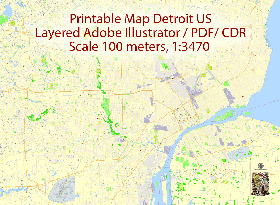
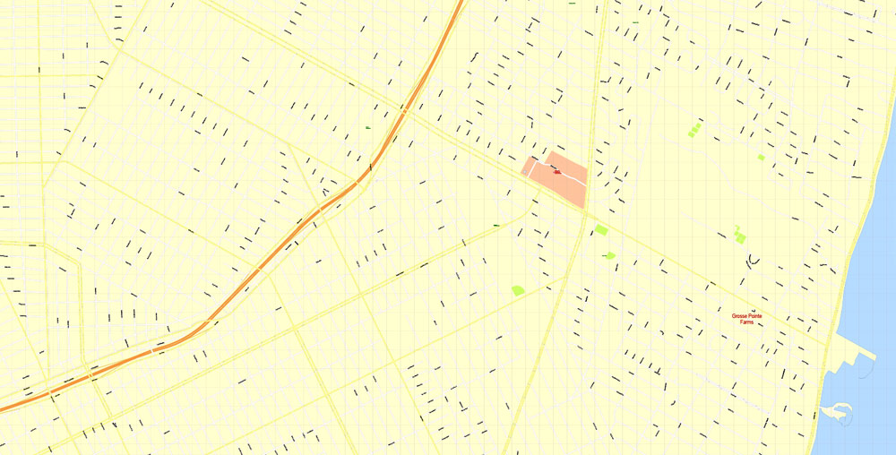
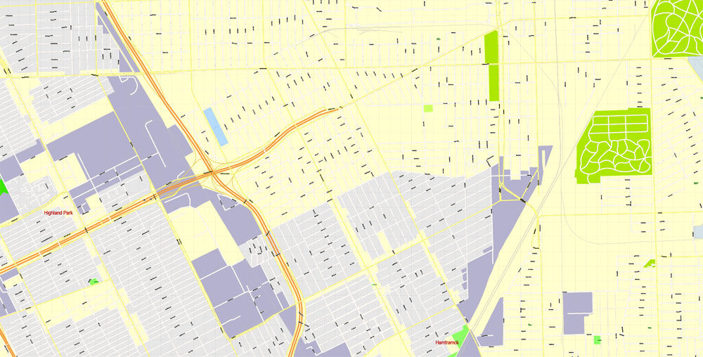
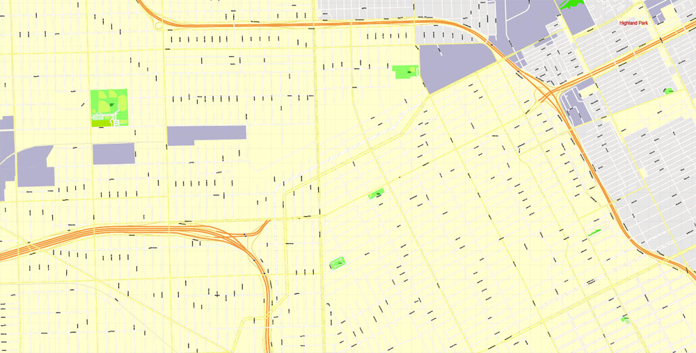
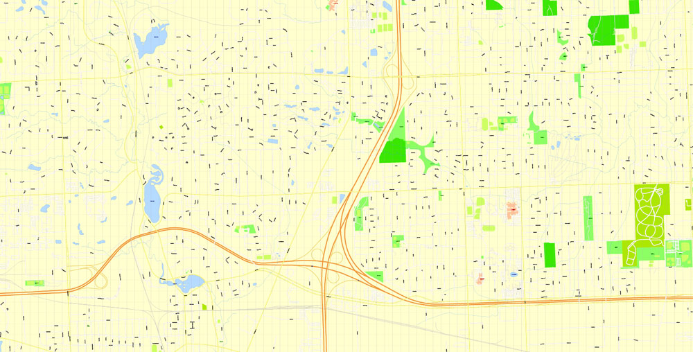
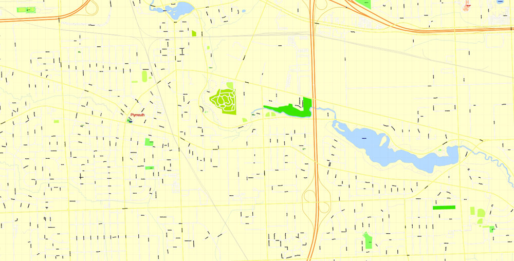
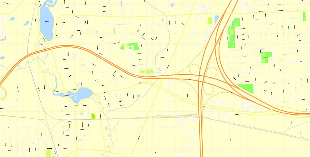
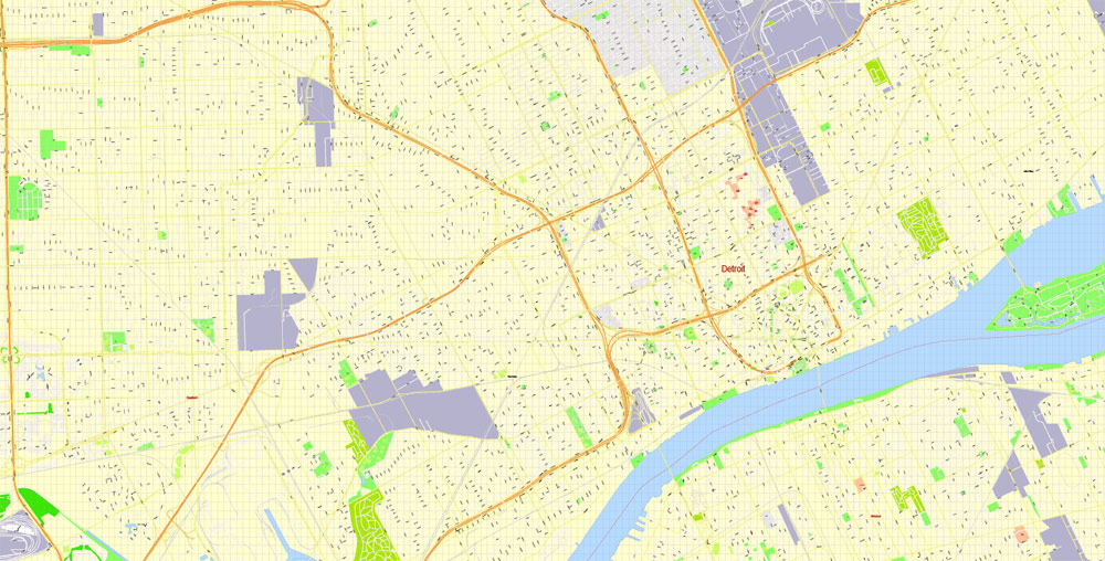
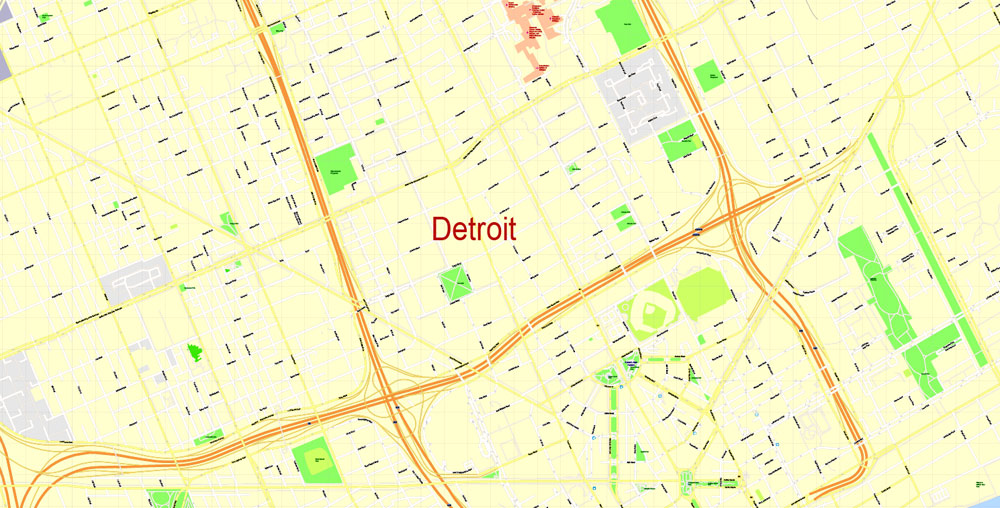
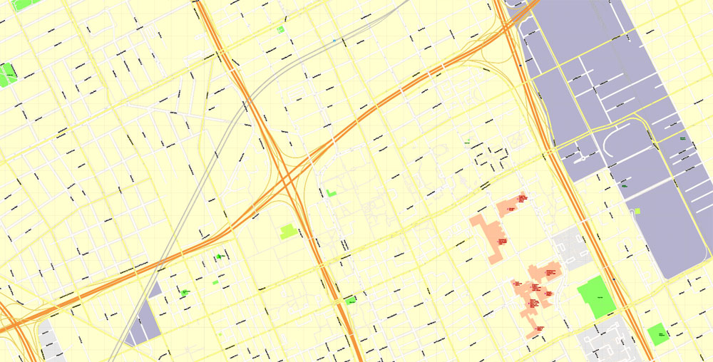
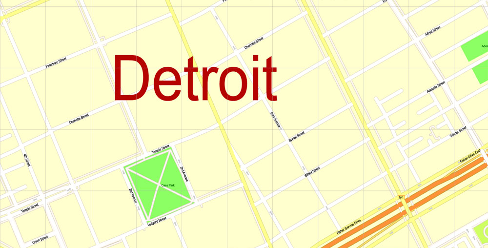
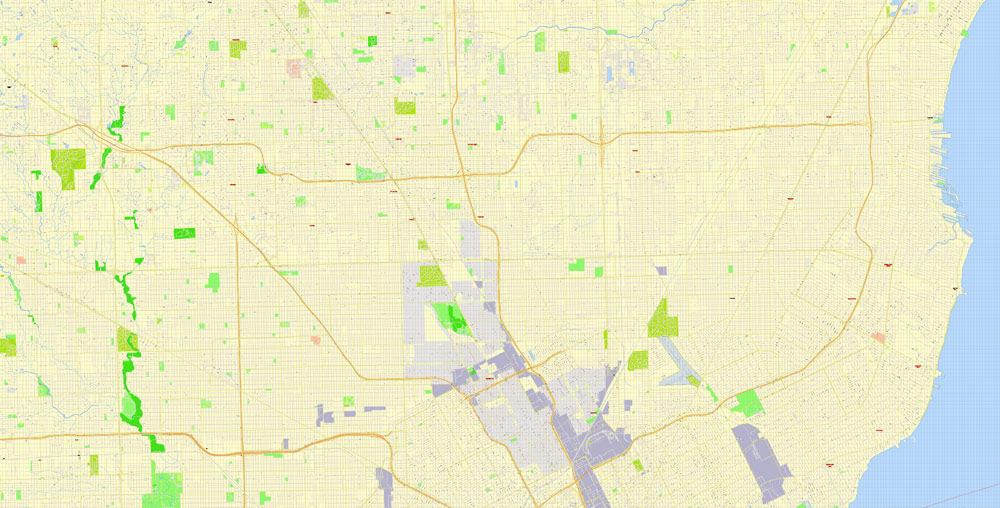
Printable CDR Map Detroit Michigan US, exact vector City Plan Map street G-View Level 17 (100 meters scale 1:3470) full editable, CorelDraw, full vector, scalable, editable text format street names, 42 mb ZIP
All streets named, Main Objects, no buildings. Map for design, printing, arts, projects, presentations, for architects, designers and builders, business, logistics.
Layers: color fills, streets_roads, arrows_streets, labels_roads, objects, names_objects, names_streets, names_places, grids, legend.
The most exact and detailed map of the city.
DWG, DXF and other formats – on request, same price, please, contact
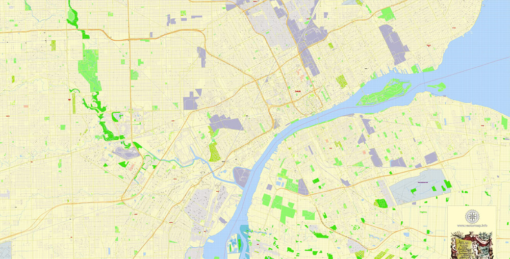
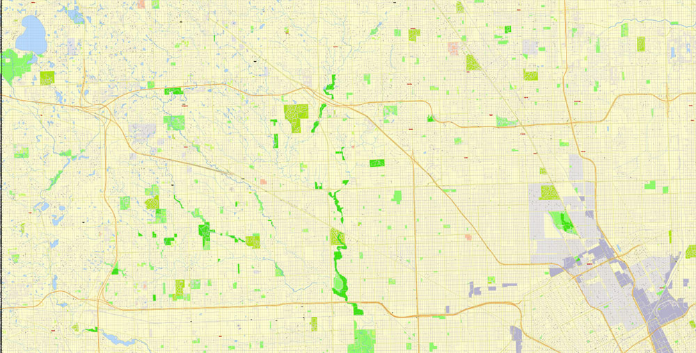
Map covered area:
Detroit, USA.
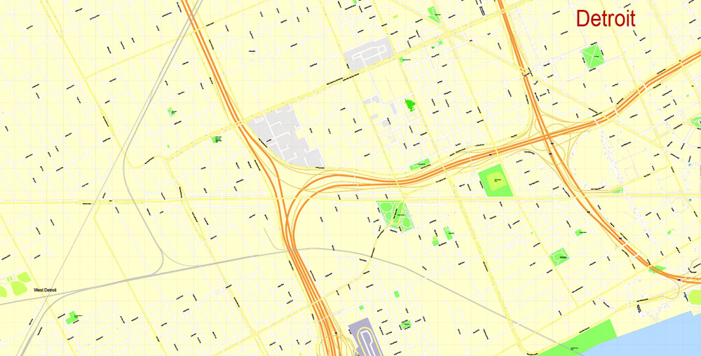
This vector map of Detroit city is used as a basis for design, editing, and further printing.
This is the most detailed, exact map of Detroit city for high-quality printing and polygraphy. You can always clarify the map development date by contacting us.
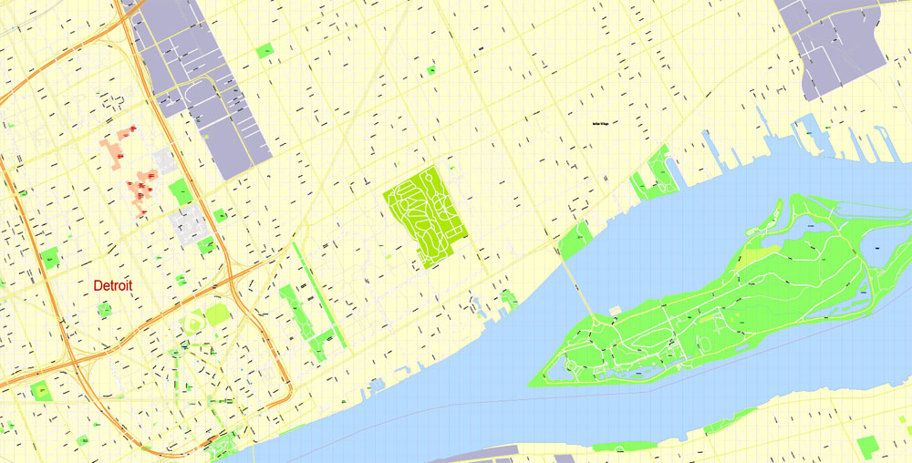
For your convenience, all objects on Detroit vector city map are divided into layers. And the editing is very easy – colors, lines, etc.
You can easily add any objects needed (e.g. shops, salons, sale points, gas station or attraction) on any layer of Detroit vector map.
Detroit is the largest and most populous city in the U.S. state of Michigan, the largest city on the United States–Canada border, and the seat of Wayne County. The municipality of Detroit had a 2017 estimated population of 673,104, making it the 23rd-most populous city in the United States. The metropolitan area, known as Metro Detroit, is home to 4.3 million people, making it the second-largest in the Midwest after the Chicago metropolitan area. Regarded as a major cultural center, Detroit is known for its contributions to music and as a repository for art, architecture and design.
One of the advantages of Detroit city vector maps of our production is the relevance of cartographic data, we constantly update all our products.
This vector map of Detroit city is used by:
designers, layout designers, printers, advertisers and architects. Our product – vector maps – is designed for further editing and printing in large formats – from @Wall format (a few meters) to A-0 and A-1, A-2, A-3.
The Detroit city map in vector format is used for design, urban planning, presentations and media visualizations.
The advertising and presentation map of Detroit city (usually the final designer marks the routes, and puts the client’s objects (shops, saloons, gas stations etc.)
The undoubted advantage is that people will NEVER throw out this advertising product – the map. In fact, as an advertising medium, a city map is the most “long-playing” of the well-known polygraphic advertising media, with the longest lifespan, and the maximum number of interactions with the customer.
For travelers, maps are sold at the airports and gas stations around the world. Often the source is our vector maps.
Take a look, who purchases our vector maps of Detroit city in “Our Clients and Friends” page – these are large and small companies, from super-brands like Volvo and Starbucks, to small design studios and printing houses.
It’s very easy to work with vector maps of Detroit city, even for a not very experienced designer who can turn on and off the map layers, add new objects, change the colors of fill and lines according to customer requirements.
The undoubted advantage of Detroit city vector maps in printing is an excellent and detailed visualization, when customer can expand a large paper map and instantly define his location, find a landmark, an object or address on map, unlike using the popular electronic formats of Google and Yandex maps for example.
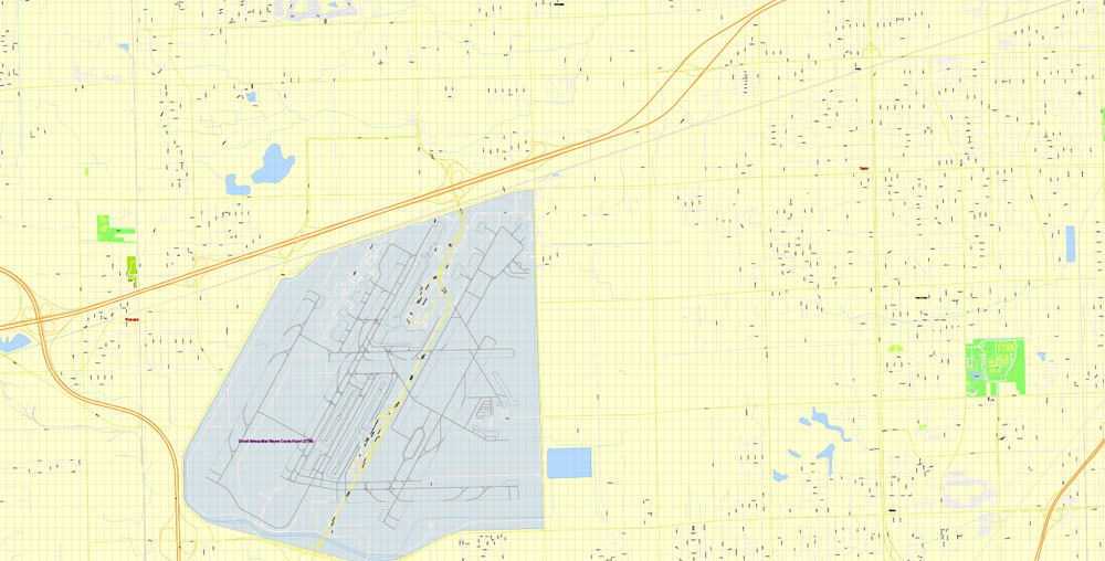
Detroit is a major port located on the Detroit River, one of the four major straits that connect the Great Lakes system to the Saint Lawrence Seaway. The Detroit Metropolitan Airport is among the most important hubs in the United States. The City of Detroit anchors the second-largest regional economy in the Midwest, behind Chicago and ahead of Minneapolis–Saint Paul, and the 13th-largest in the United States. Detroit and its neighboring Canadian city Windsor are connected through a tunnel and the Ambassador Bridge, the busiest international crossing in North America. Detroit is best known as the center of the U.S. automobile industry, and the “Big Three” auto manufacturers General Motors, Ford, and Chrysler are all headquartered in Metro Detroit.
Printable vector maps of Detroit city are much more convenient and efficient than any electronic maps on your smartphone, because ALL DETAILS are displayed in the entire space of Detroit city map.
Useful tips on working with vector maps of cities and countries in Adobe Illustrator.
«V» – launches the Selection tool (cursor, black arrow), which makes active any vector line.
«А» – launches the Direct Selection tool (white cursor), allows you to select curve elements and drag them to the desired place.
«R» – activates the Rotate tool, which helps you rotating selected objects around the center point by 360 degrees.
«E» – gives you the opportunity to use the Eraser tool and erase unnecessary parts.
«X» – switches between Fill and Stroke in the Tools section. Try to get used to this hot key and
you will quickly understand that you can’t live and work without it.
Guides are not limited to vertical and horizontal in Adobe Illustrator. You can also create a diagonal guide for example. Moreover, you can turn any contours into guides. Select the outline and go to View > Guides > Make Guides (Create Guides), or simply press Cmd/Ctrl + 5. You can also turn the guides back into an editable object. Go to menu, View > Guides > Unlock Guides (Release Guides), select the guide you want to edit and select View > Guides > Release Guides (Reset Guides), or just press Cmd/Ctrl + Option / Alt + 5).
You will probably want to change the color scheme used on our Detroit vector city map.
To quickly and effectively play with colors.
Of course, you can do it manually, all objects in our Detroit city vector map are divided according to types and layers, and you can easily change the color gamma of vector objects in groups and layers.
In 1701, Antoine de la Mothe Cadillac founded Fort Pontchartrain du Détroit, the future city of Detroit. During the 19th century, it became an important industrial hub at the center of the Great Lakes region. With expansion of the auto industry in the early 20th century, the city and its suburbs experienced rapid growth, and by the 1940s, the city had become the fourth-largest in the country. However, due to industrial restructuring, the loss of jobs in the auto industry, and rapid suburbanization, Detroit lost considerable population from the late 20th century to the present.
But there is more effective way of working with the whole VECTOR MAP of Detroit city and all layers:
The overview dialog «Edit colors»/«Repaint Graphic Object» (this dialog box name can change depending on the context):
If you have selected a part or a layer of Detroit city vector map and open the dialog box by clicking the icon in the Control panel, on the Samples palette or the Color Catalog, or if you choose Edit > Edit Colors> Repaint Graphic Object, then the «Repaint Graphic Object» dialog box appears, and you get access to «Assign» and «Edit» tabs.
If a picture or a map fragment is not selected, and you open the dialog box by clicking the icon in the Control panel, on the Samples palette or in the Color Catalog, the «Edit Colors» dialog box appears and you can only access the «Edit» tab.
Regardless of the name at the top of the dialog box, the right-hand side always displays the color group of the current document, as well as two default color groups: Print Color and Grayscale. These color groups can be selected and used any time.
Since reaching a peak of 1.85 million at the 1950 census, Detroit’s population has declined by more than 60 percent. In 2013, Detroit became the largest U.S. city to file for bankruptcy, which it successfully exited in December 2014, when the city government regained control of Detroit’s finances. Detroit’s diverse culture has had both local and international influence, particularly in music, with the city giving rise to the genres of Motown and techno, and playing an important role in the development of jazz, hip-hop, rock, and punk music.
Create and edit color groups of Detroit city vector map, and also assign colors using the «Edit Colors»/ а «Repaint Graphic Object» dialog box.
A. Creating and editing of a color group on the «Edit» tab
B. Assigning colors on the «Assign» tab
C. Select a group of colors from the «Color groups» list
The option «Repaint a graphic object» in the lower part of the dialog box allows you to preview the colors on a selected layer of Vector map, or a group of elements, and specify whether its colors will be redefined when the dialog box is closed.
The main areas of the dialog box are:
«Edit»
The «Edit» tab is designed to create a new or edit the existing color groups.
The harmony rules Menu and the Color Wheel are used to conduct experiments with color harmonies. The color wheel shows how colors are related in color harmony, and the color bars allow you to view and manipulate an individual color values. In addition, you can adjust the brightness, add and remove colors, save color groups and view colors on the selected Vector Map of Detroit city or a separated layers.
The erstwhile rapid growth of Detroit left a globally unique stock of architectural monuments and historic places, and since the 2000s conservation efforts managed to save many architectural pieces and allowed several large-scale revitalizations, including the restoration of several historic theatres and entertainment venues, high-rise renovations, new sports stadiums, and a riverfront revitalization project. More recently, the population of Downtown Detroit, Midtown Detroit, and various other neighborhoods has increased. An increasingly popular tourist destination, Detroit receives 19 million visitors per year. In 2015, Detroit was named a “City of Design” by UNESCO, the first U.S. city to receive that designation.
«Assign»
The «Assign» tab is used to view and control on how the original colors are replaced with colors from the color group like your corporate colors in the Vector Map of Detroit city.
The assign color ability is provided only if the entire map, layer or fragment is selected in the document. You can specify which of new colors replace the current colors, whether the spot colors should be preserved and how colors are replaced (for example, you can replace colors completely or changing the color tone while maintaining the brightness). The «Assign» tab allows you to redefine colors in the Vector Map of Detroit city, or in separate layers and fragments using the current color group or reducing the number of colors in the current Vector Map.
Color groups
Is a list of all saved color groups for current document (the same groups appear in the «Samples» palette). You can edit and delete the existing color groups, as well as creating a new ones using the list of “Color Groups” in the dialog box. All changes appear in the «Samples» palette.
The highlighted color group shows, which color group is currently edited.
Geography
Metropolitan area
Detroit is the center of a three-county urban area (with a population of 3,734,090 within an area of 1,337 square miles (3,460 km2) according to the 2010 United States Census), six-county metropolitan statistical area (population of 4,296,250 in an area of 3,913 square miles [10,130 km2] as of the 2010 census), and a nine-county combined statistical area (population of 5.3 million within 5,814 square miles [15,060 km2] as of 2010).
Any color group can be selected and edited, or used to redefine the colors in the selected vector map of Detroit city, its fragments or elements.
Saving a color group adds this group to the specified list.
Opening the «Edit Colors»/«Repaint Graphic Object» dialog box.
Open the «Edit Colors»/«Repaint Graphic Object» dialog box using one of the following methods:
«Edit»> «Edit Colors»> «Repaint Graphic object» or «Repaint With Style».
Use these commands if you need to edit the colors in the selected vector map of Detroit city.
«Repaint Graphic object» button on the «Control» panel.
Use this button if you need to adjust colors of Detroit city vector map using the а «Repaint graphic object» dialog box.
The specified button is available if the selected vector map or its fragment contains two or more colors.
Note. This color editing method is convenient for global color adjustment in a vector map, if global colors were not used when creating a City Map of Detroit.
The «Edit colors» button or «Edit or apply colors» on the «Color Catalog» palette
Click this button if you need to edit colors on the «Color Catalog» palette or edit and then apply them to the selected Vector Map of Detroit city or its fragment.
The «Edit color group» button or «Edit or apply color group» on the «Samples» palette.
Click this button if you need to edit the colors in the specific color group or edit and apply them to the selected Vector Map of Detroit city or a group of its elements, for example, the whole layer “Streets and lines”. You can also double-click the color group in the Samples panel to open the dialog box.
Topography
According to the U.S. Census Bureau, the city has a total area of 142.87 square miles (370.03 km2), of which 138.75 square miles (359.36 km2) is land and 4.12 square miles (10.67 km2) is water. Detroit is the principal city in Metro Detroit and Southeast Michigan situated in the Midwestern United States and the Great Lakes region.
If the map file is too large and your computer freezes or even can’t open it quickly:
1. Try to reduce the color resolution of the video card (display) to 256 colors while working with a large map.
2. Using Windows Task Manager, select all the application you don’t need, while working with map, just turn them off.
3. Launch Adobe Illustrator. (DO NOT OPEN the vector map file)
4. Start the Windows Task Manager using administrator rights > Find the “Illustrator” process > set the «real time» priority,
5. Open the file. When you see the LEGACY FONT popup window – click “OK” (do not update). You can restore the TEXT later.
6. Can also be useful: When file is opened – Edit > Settings > Basic Settings > disable smoothing. /// It looks scary, but works quickly)))
We recommend saving the file in Adobe Illustrator 10 version. It’s much more stable when working with VERY BIG size files.
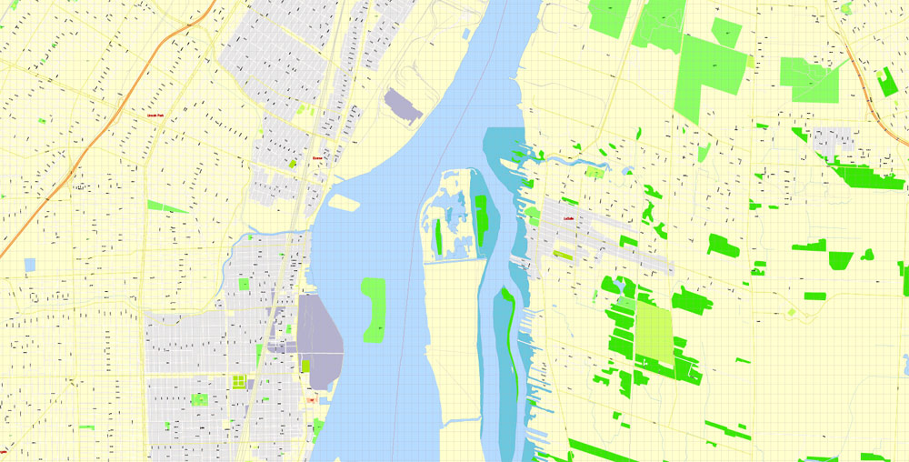
The Detroit River International Wildlife Refuge is the only international wildlife preserve in North America, uniquely located in the heart of a major metropolitan area. The Refuge includes islands, coastal wetlands, marshes, shoals, and waterfront lands along 48 miles (77 km) of the Detroit River and Western Lake Erie shoreline.
The city slopes gently from the northwest to southeast on a till plain composed largely of glacial and lake clay. The most notable topographical feature in the city is the Detroit Moraine, a broad clay ridge on which the older portions of Detroit and Windsor sit, rising approximately 62 feet (19 m) above the river at its highest point. The highest elevation in the city is located directly north of Gorham Playground on the northwest side approximately three blocks south of 8 Mile Road, at a height of 675 to 680 feet (206 to 207 m). Detroit’s lowest elevation is along the Detroit River, at a surface height of 572 feet (174 m).
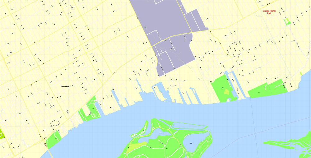
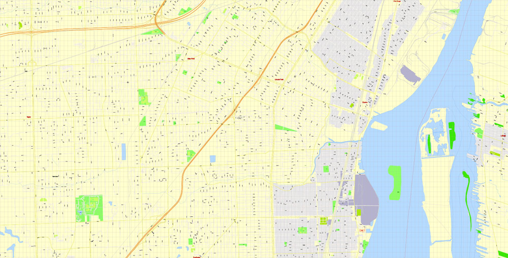
Belle Isle Park is a 982-acre (1.534 sq mi; 397 ha) island park in the Detroit River, between Detroit and Windsor, Ontario. It is connected to the mainland by the MacArthur Bridge in Detroit. Belle Isle Park contains such attractions as the James Scott Memorial Fountain, the Belle Isle Conservatory, the Detroit Yacht Club on an adjacent island, a half-mile (800 m) beach, a golf course, a nature center, monuments, and gardens. The city skyline may be viewed from the island.
Three road systems cross the city: the original French template, with avenues radiating from the waterfront, and true north–south roads based on the Northwest Ordinance township system. The city is north of Windsor, Ontario. Detroit is the only major city along the Canada–US border in which one travels south in order to cross into Canada.
Detroit has four border crossings: the Ambassador Bridge and the Detroit–Windsor Tunnel provide motor vehicle thoroughfares, with the Michigan Central Railway Tunnel providing railroad access to and from Canada. The fourth border crossing is the Detroit–Windsor Truck Ferry, located near the Windsor Salt Mine and Zug Island. Near Zug Island, the southwest part of the city was developed over a 1,500-acre (610 ha) salt mine that is 1,100 feet (340 m) below the surface. The Detroit salt mine run by the Detroit Salt Company has over 100 miles (160 km) of roads within.
Detroit
City in Michigan
Detroit is the largest city in the midwestern state of Michigan. Near Downtown, the neoclassical Detroit Institute of Arts is famed for the Detroit Industry Murals painted by Diego Rivera, and inspired by the city’s ties to the auto industry, giving it the nickname “Motor City.” Detroit is also the birthplace of Motown Records, whose chart-topping history is on display at their original headquarters, Hitsville U.S.A.
Area
• City 142.87 sq mi (370.03 km2)
• Land 138.75 sq mi (359.36 km2)
• Water 4.12 sq mi (10.67 km2)
• Urban 1,295 sq mi (3,350 km2)
• Metro 3,913 sq mi (10,130 km2)
Elevation 600 ft (200 m)
Population
• City 713,777
• Estimate 672,795
• Rank US: 21st
• Density 5,000/sq mi (1,900/km2)
• Urban 3,734,090 (US: 11th)
• Metro 4,292,060 (US: 14th)
• CSA 5,311,449 (US: 12th)
Free US vector maps

Free Download Vector Map US County and State Adobe Illustrator
Free_Vector_Map_US_States_County_Map.ai
Free Download Vector Map US County and State Adobe PDF
Free_Vector_Map_US_States_County_Map.pdf

Free Download Vector Map US With States Names, Adobe Illustrator
Free_Map_of_USA_with_state_names_en.ai
Free Download Vector Map US With States Names, Adobe PDF
Free_Map_of_USA_with_state_names_en.pdf
From WIKI
Free vector map World, Adobe Illustrator, download now maps vector clipart
Map for design, projects, presentation free to use as you like.
See also: TERMS & CONDITIONS: SOFTWARE LICENSE AGREEMENT FOR DIGITAL CARTOGRAPHIC DATA.
Need more USA Vector Maps, printable and editable?

 Author: Kirill Shrayber, Ph.D. FRGS


 City Vector Map Exact High Detailed Urban Plan editable Adobe Illustrator Street Map in layers")