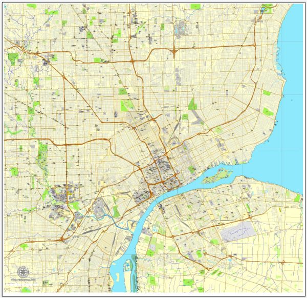
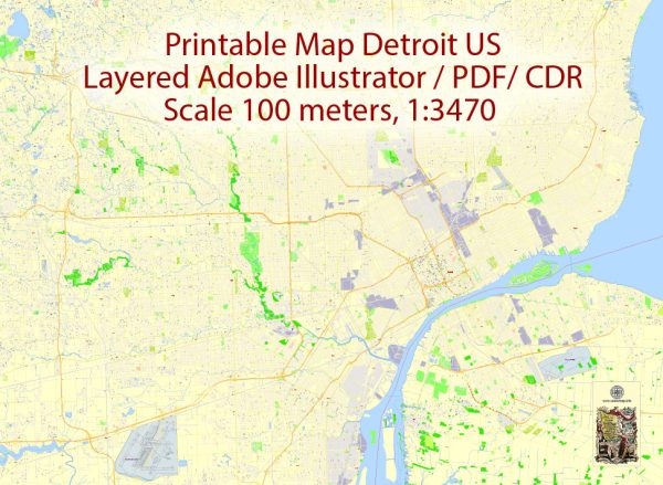
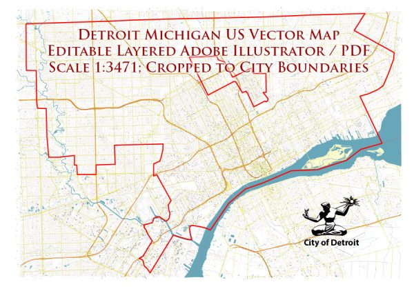
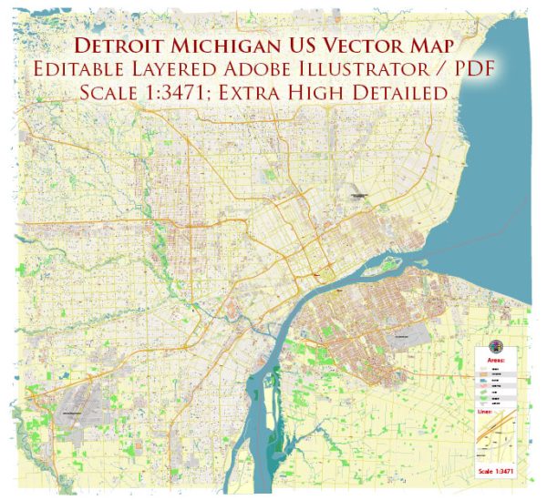
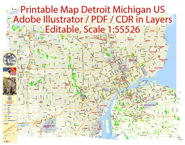
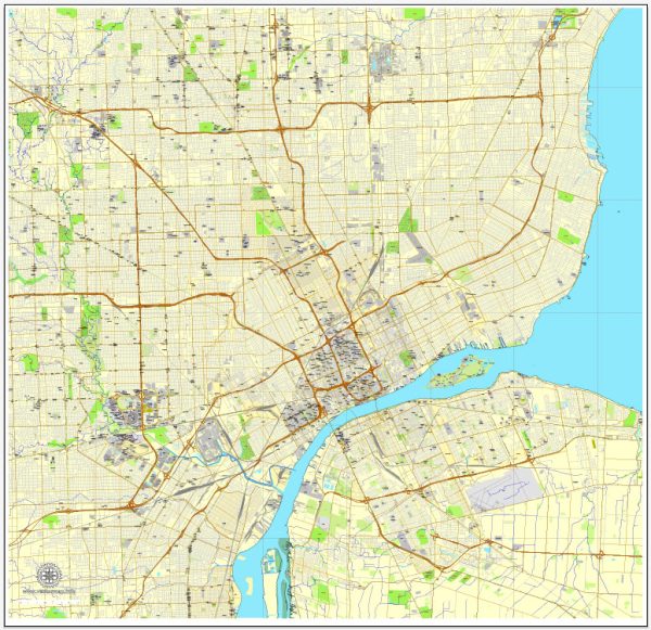
Detroit, Michigan, is a city with a grid-based street layout, and its principal streets are well-known for their historical significance and importance in navigating the city. Here are some of the main streets and a brief description of each:
- Woodward Avenue: Woodward Avenue is one of Detroit’s most famous streets, often referred to as the city’s “Main Street.” It runs north-south and is home to many iconic landmarks, including the Detroit Institute of Arts, the Detroit Historical Museum, and Comerica Park (home of the Detroit Tigers). The Woodward Dream Cruise, a popular annual classic car event, takes place along this avenue.
- Gratiot Avenue: Gratiot Avenue is another major north-south thoroughfare in Detroit. It runs parallel to Woodward Avenue and is known for its automotive history, with many car dealerships located along the road.
- Michigan Avenue: Michigan Avenue is a significant east-west street that runs through downtown Detroit. It’s famous for its historic architecture, including the Michigan Central Station, and it connects downtown with the nearby Corktown neighborhood.
- Fort Street: Fort Street is another important east-west artery in Detroit, running from the Detroit River to the western suburbs. It passes through several neighborhoods, including Mexicantown, and is known for its role as a transportation corridor.
- Jefferson Avenue: Jefferson Avenue runs along the Detroit River, offering beautiful views of the river and Windsor, Ontario, on the other side. It’s home to the Renaissance Center, the headquarters of General Motors, and several parks and recreational areas.
- Lafayette Boulevard and Fort Street: These streets run parallel to each other and are significant in the context of Belle Isle, a large island park in the Detroit River. They provide access to the Belle Isle Bridge, connecting the island to the mainland.
- Grand River Avenue: Grand River Avenue is a major east-west street that extends through various Detroit neighborhoods and suburbs. It’s known for its historical significance and has seen revitalization efforts in recent years.
- Outer Drive: Outer Drive is a ring road that encircles much of the city of Detroit. It is not only an important transportation route but also a convenient way to navigate the city’s outer neighborhoods.
- 8 Mile Road: Made famous by the movie of the same name, 8 Mile Road serves as the northern boundary of the city. It’s known for its cultural and economic diversity and as a dividing line between Detroit and its northern suburbs.
These are just some of the principal streets in Detroit. The city has a rich history and a variety of neighborhoods and landmarks to explore, each with its own unique character and significance.

 Author: Kirill Shrayber, Ph.D.