Extended Description of the Vector Map
Printable Vector Map of Port Arthur Texas US detailed City Plan (with neighborhood) scale 1:65168 full editable Adobe Illustrator Street Map in layers, scalable, text format all names, 6 MB ZIP
Major street names, Main Objects, Buildings. Map for design, printing, arts, projects, presentations, for architects, designers, and builders, business, logistics.
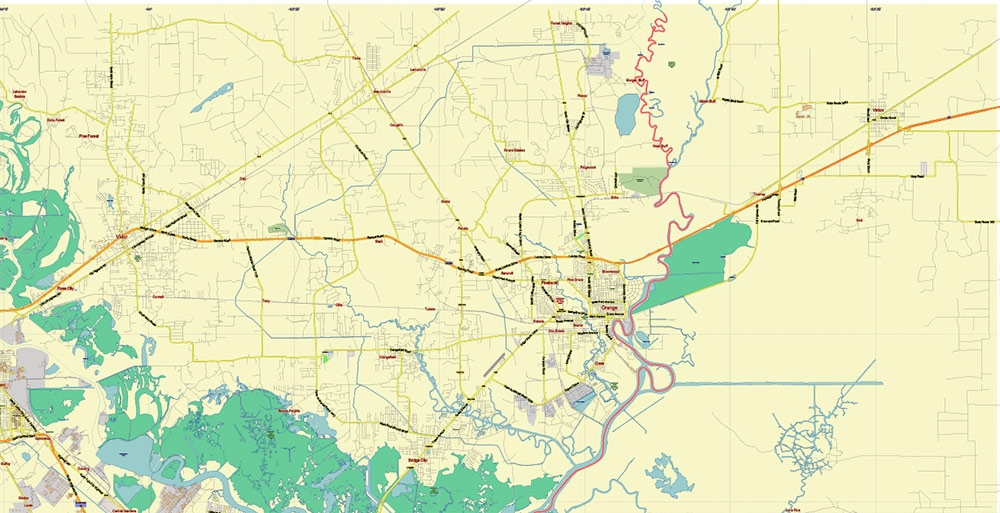
Included: Beaumont and Orange.
Also: We can add the ZIP (postal) codes areas with numbers (additiona layer for this map), and other objects for you. It’s free for our customers.
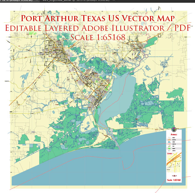
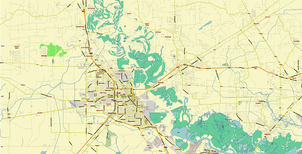
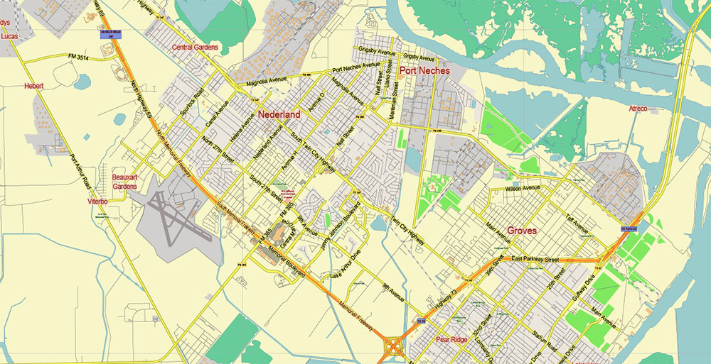
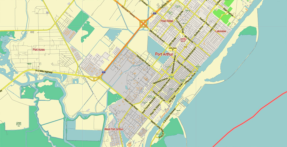
Port Arthur Texas US Map Vector City Plan Exact Street Map editable Adobe Illustrator in layers
Layers list:
- Legend
- Grids
- Labels of roads
- Names of places (city, hamlet, etc.)
- Names of objects (hospitals, parks, water)
- Halo of street names< places names, object names
- Names of civil streets
- Main Streets, roads
- Civil streets
- Railroads
- Buildings
- Airports and heliports
- Water objects (rivers, lakes, ponds)
- Waterways
- Color fills (parks, hospital areas, land use, etc.)
- Background + Sea
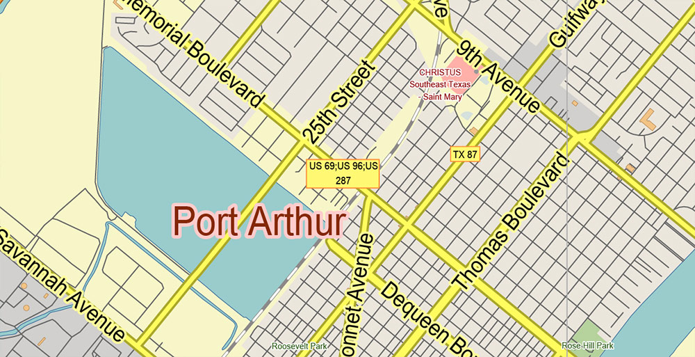
Port Arthur Texas US Map Vector City Plan Exact Street Map editable Adobe Illustrator in layers
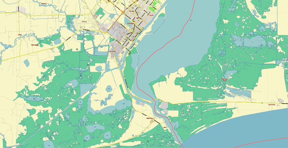
Port Arthur Texas US Map Vector City Plan Exact Street Map editable Adobe Illustrator in layers
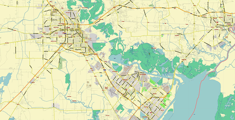
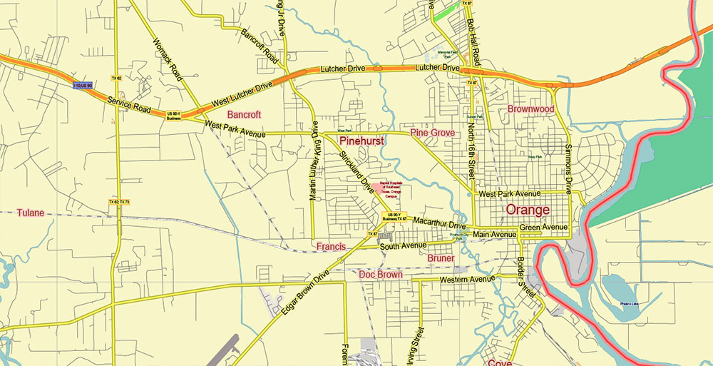
Port Arthur Texas US Map Vector City Plan Exact Street Map editable Adobe Illustrator in layers
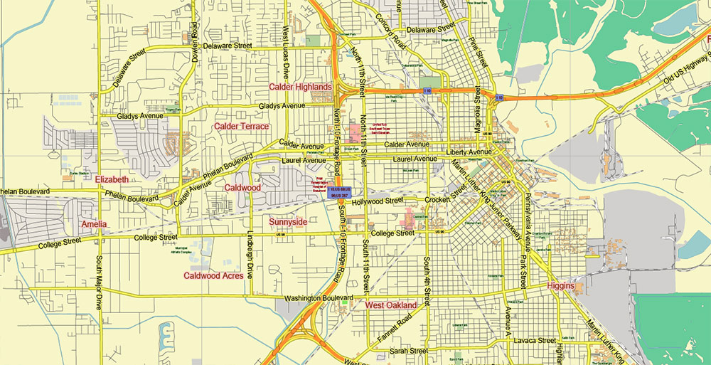
Port Arthur Texas US Map Vector City Plan Exact Street Map editable Adobe Illustrator in layers
Port Arthur Texas US Map Vector City Plan Exact Street Map editable Adobe Illustrator in layers
Port Arthur Texas US Map Vector City Plan Exact Street Map editable Adobe Illustrator in layers
Port Arthur Texas US Map Vector City Plan Exact Street Map editable Adobe Illustrator in layers
Port Arthur Texas US Map Vector City Plan Exact Street Map editable Adobe Illustrator in layers
Port Arthur Texas US Map Vector City Plan Exact Street Map editable Adobe Illustrator in layers

 Author: Kirill Shrayber, Ph.D. FRGS

