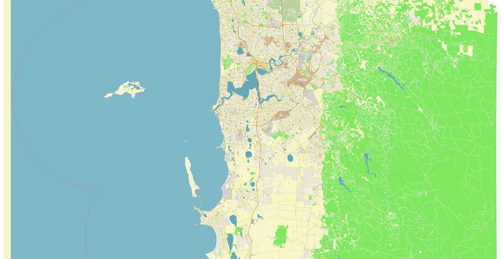
Perth Region:
Area: 21,436 km2
Population: 2.1 million (Australian Bureau of Statistics [ABS] 2016)
The Perth region is located on the west coast of Western Australia. The region’s boundary is mostly defined by three surface water catchments:
Swan–Canning river system
Murray River
Harvey River.
The Perth region also includes a small part of the Moore–Hill Rivers and Collie River catchment areas. These areas were included to capture the groundwater management areas and the Harvey Water Irrigation Area.
The Darling escarpment is a geographic feature that splits the Perth region. The escarpment runs in a north–south direction and rises to more than 200 metres above sea level. To the east is the Darling Range, which extends to the eastern boundary of the region, and to the west is the coastal plain.
The region is home to waterways and wetlands of national significance. The Swan and Canning rivers and the Peel–Harvey estuarine system have strong environmental, cultural, and recreational significance. There are also important groundwater resources in the region, such as the Gnangara and Jandakot groundwater systems. These aquifers are a source of public and self-supply of water and support numerous groundwater-dependent wetland ecosystems.
The Perth region is physically defined, and includes the Swan–Canning river system, the Murray River and Harvey River catchments, two groundwater management areas, and the Harvey Water Irrigation Area.
For the purposes of this report, the region includes water stored in:
surface water storages
the urban water system and irrigation scheme
groundwater aquifers.
Although located outside of the region boundary, water stored in Wellington Dam is also considered to be part of the Perth region as this storage’s primary role is water supply to the Harvey Water irrigation Area.
The region excludes water stored in:
off-channel water storages and rainwater tanks, such as farm dams and private commercial water storages used to harvest runoff or collect rainwater
the landscape, such as soil moisture.
For more information regarding items in this water accounting report, please refer to the Water accounting policies.
The major population center in the region is the Perth metropolitan area, including Mandurah, Rockingham and Pinjarra, with population of 1,907,000 (ABS 2016). A number of smaller towns are interspersed throughout the rest of the region, including Harvey, Australind and Bullsbrook.
The urban land use is primarily within the Perth metropolitan area (including Rockingham and Mandurah) along the Swan Coastal Plain.
The region also includes three irrigation districts, Harvey, Waroona and Collie River, identified as ‘Irrigated agriculture’. These districts are part of the Harvey Water Irrigation Area, which is located on the Swan Coastal Plain near the town of Harvey. The total operating area of these districts is approximately 170 km2 for Harvey, 50 km2 for Waroona and160 km2 for Collie River. Within these areas, there is currently around 100 km2 under permanent irrigation for dairy farming, beef grazing, and horticulture.
Other major land uses in the Perth region include:
conservation and natural environments
dryland agriculture
grazing.
There are extensive areas of conservation and natural environments within the Perth region, particularly throughout the Darling Range (to the east of the Darling escarpment). Dryland agriculture occurs across much of the region and grazing is dominant to the east of the Peel–Harvey Estuary south of Mandurah. www.bom.gov.au
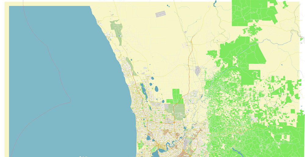
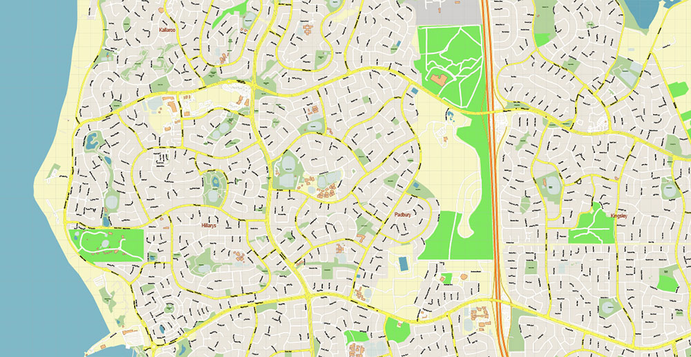
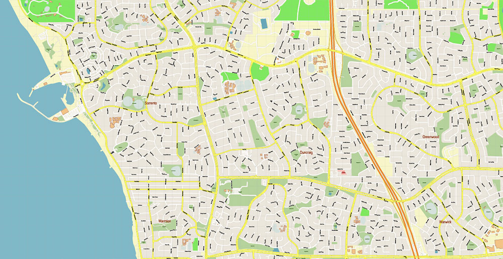
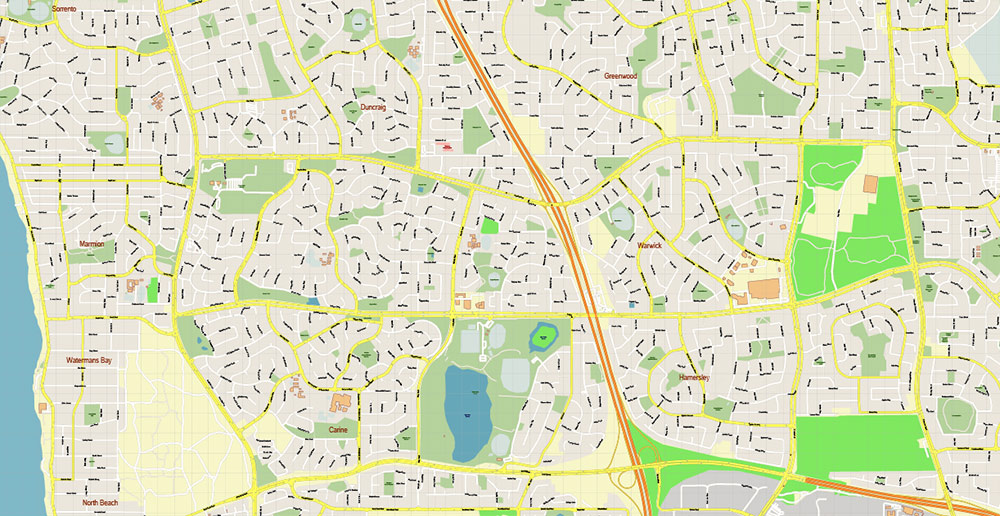
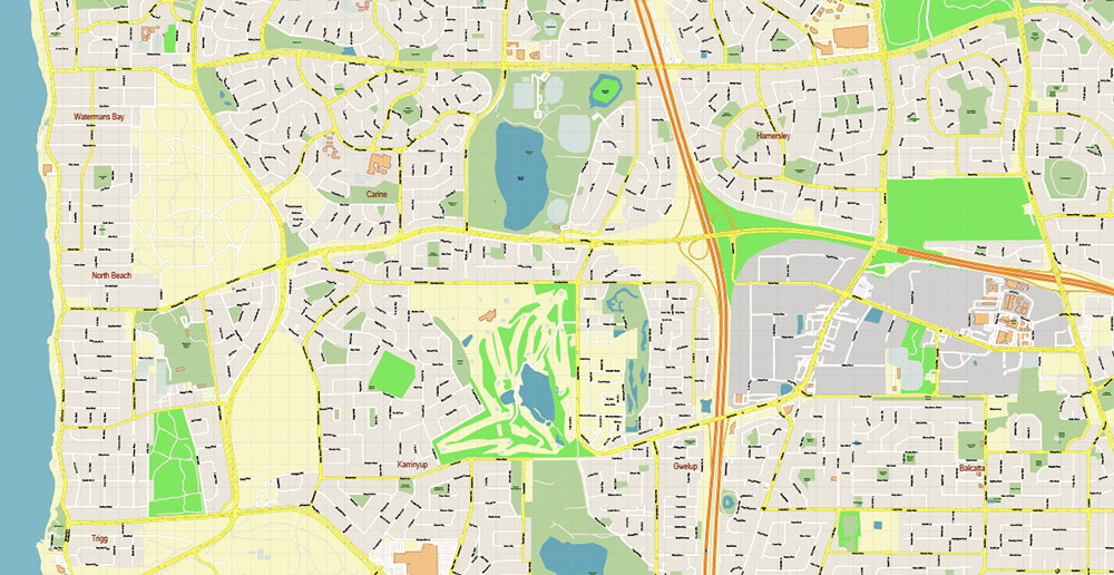
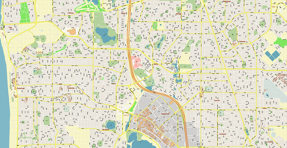
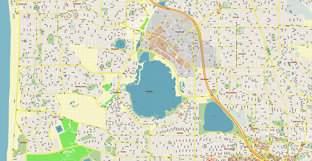
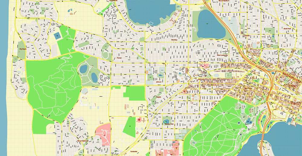
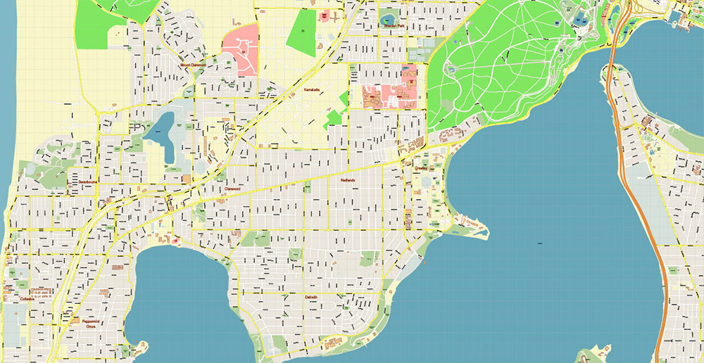
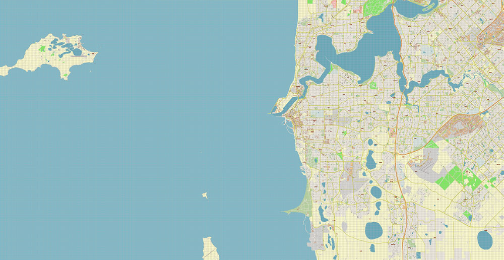
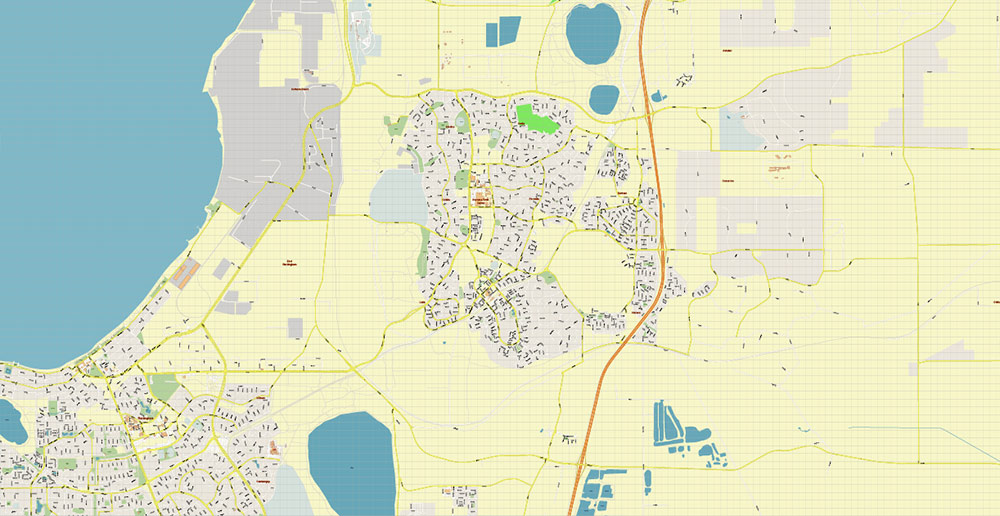
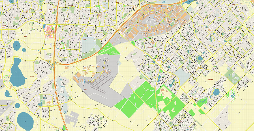
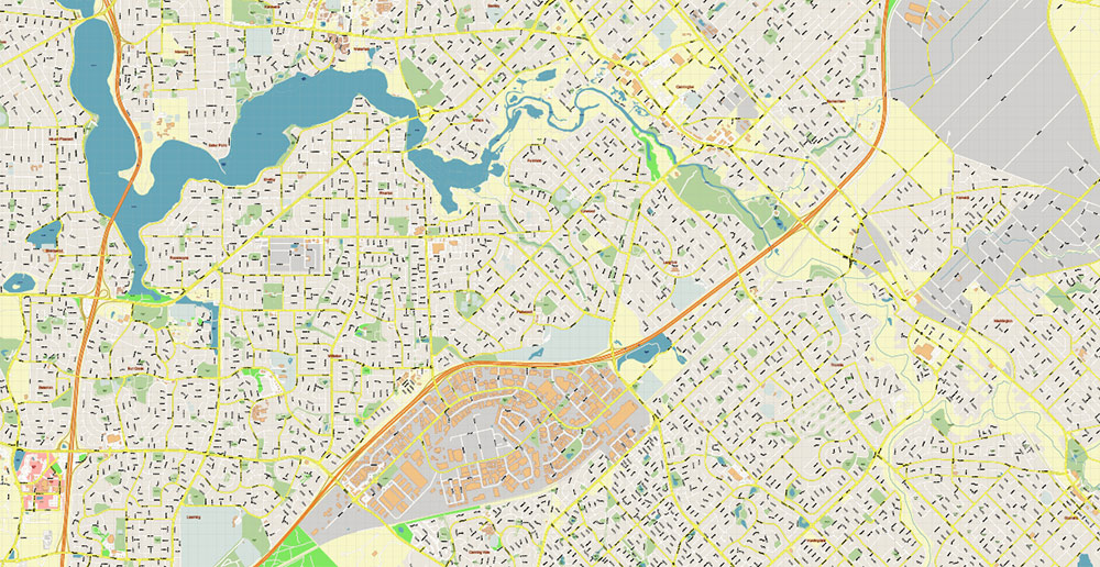
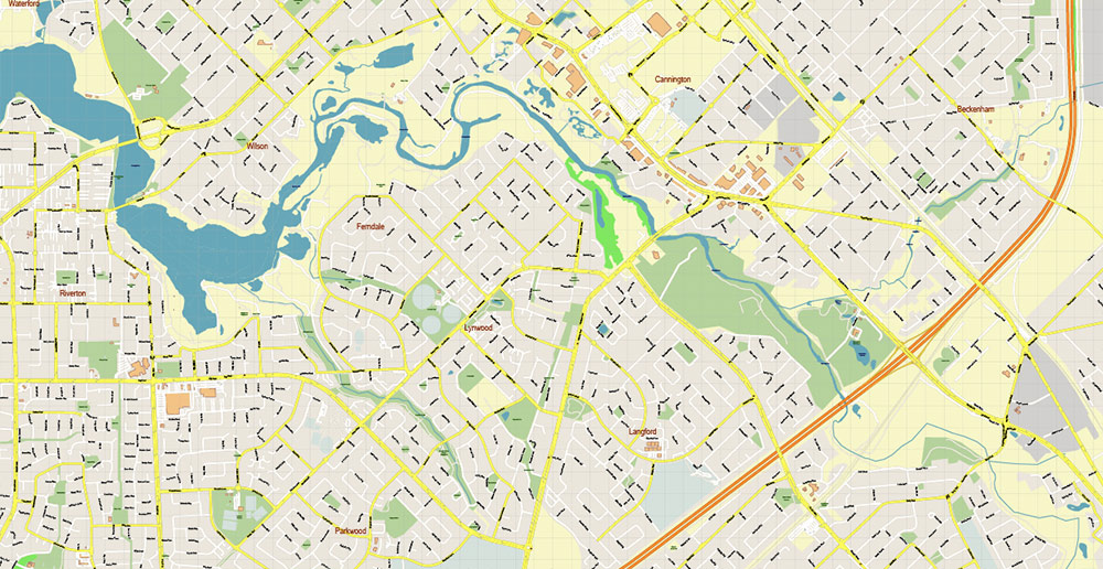
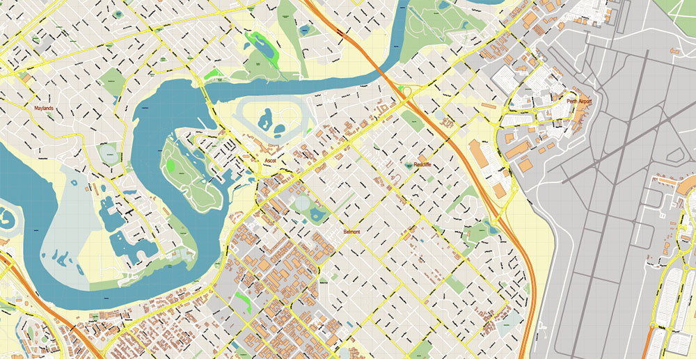
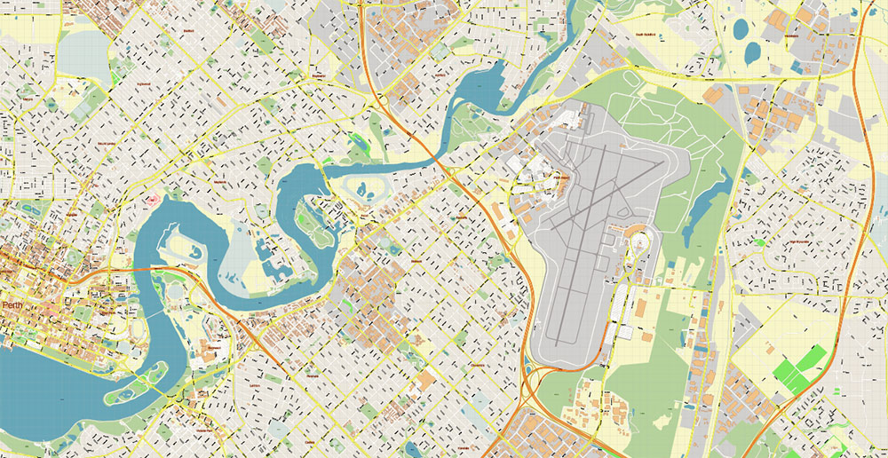
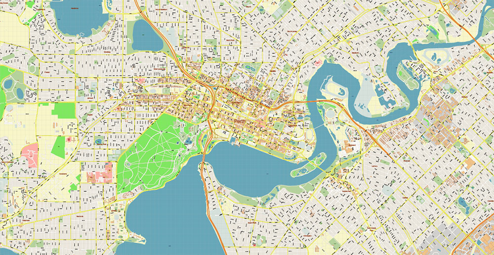
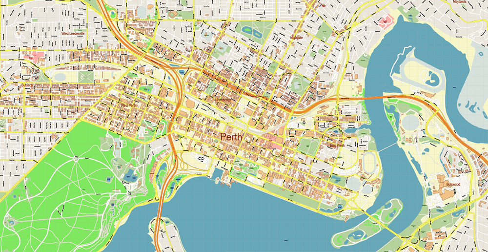
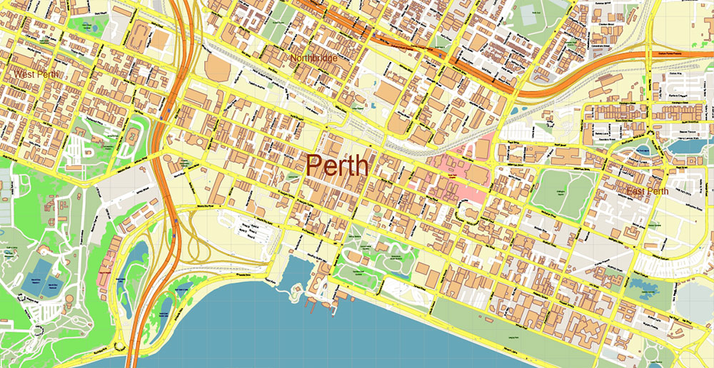
Printable PDF Vector Map of Perth Metro Area Australia, detailed City Plan scale 1:3978 full editable Adobe PDF Street Map in layers, scalable, text format all names, 163 MB ZIP
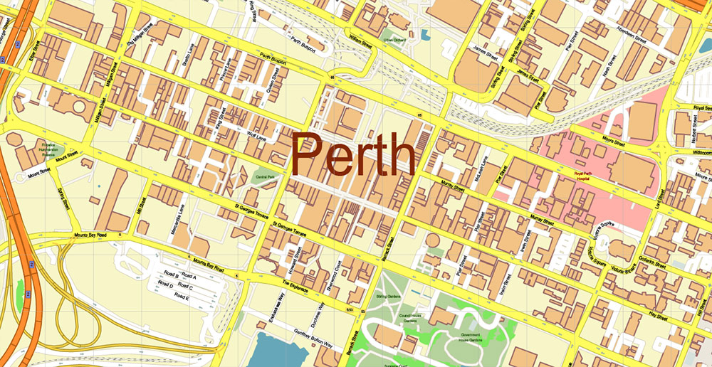
All street names, Main Objects, Buildings. Map for design, printing, arts, projects, presentations, for architects, designers, and builders, business, logistics.
If you need: We can add some objects to this map (add-on layers).
Free for our customers.
Need AutoCAD DWG / DXF or any other format? Please, contact us!
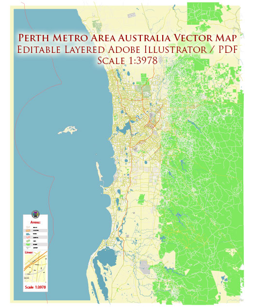
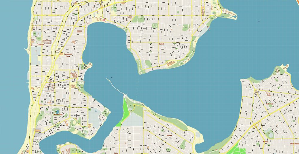
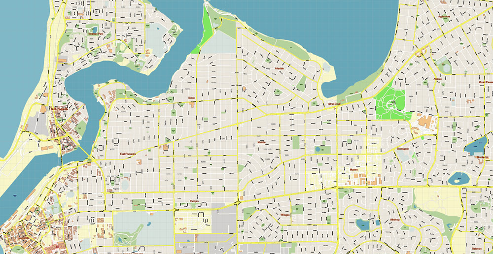
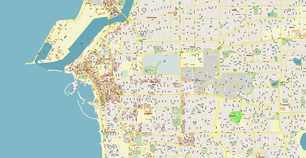
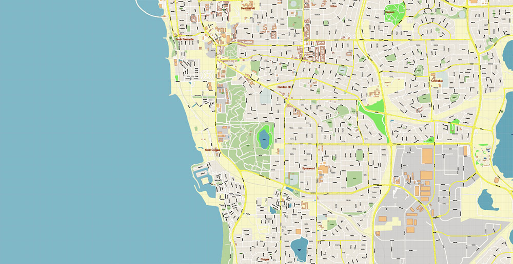
Perth Metro Area Australia PDF Vector Map: Accurate High Detailed City Plan editable Adobe PDF Street Map in layers
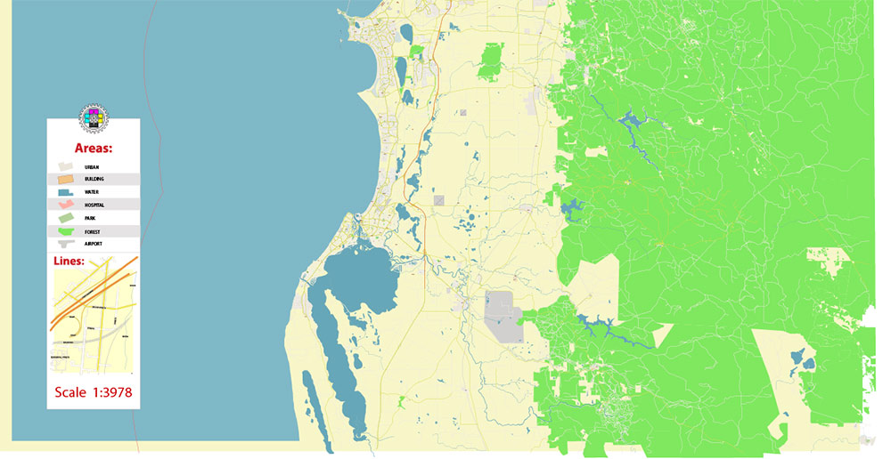
Layers list:
- Legend
- Grids
- Labels of roads
- Names of places (city, hamlet, etc.)
- Names of objects (hospitals, parks, water)
- Names of main streets
- Names of civil streets
- Arrows of street drive direction
- Main Streets, roads
- Civil streets
- Railroads
- Buildings
- Airports and heliports
- Water objects (rivers, lakes, ponds)
- Waterways
- Color fills (parks, hospital areas, land use, etc.)
- Islands
- Background and Sea
Perth Metro Area Australia PDF Vector Map: Accurate High Detailed City Plan editable Adobe PDF Street Map in layers
Perth Metro Area Australia PDF Vector Map: Accurate High Detailed City Plan editable Adobe PDF Street Map in layers
Perth Metro Area Australia PDF Vector Map: Accurate High Detailed City Plan editable Adobe PDF Street Map in layers
Perth Metro Area Australia PDF Vector Map: Accurate High Detailed City Plan editable Adobe PDF Street Map in layers
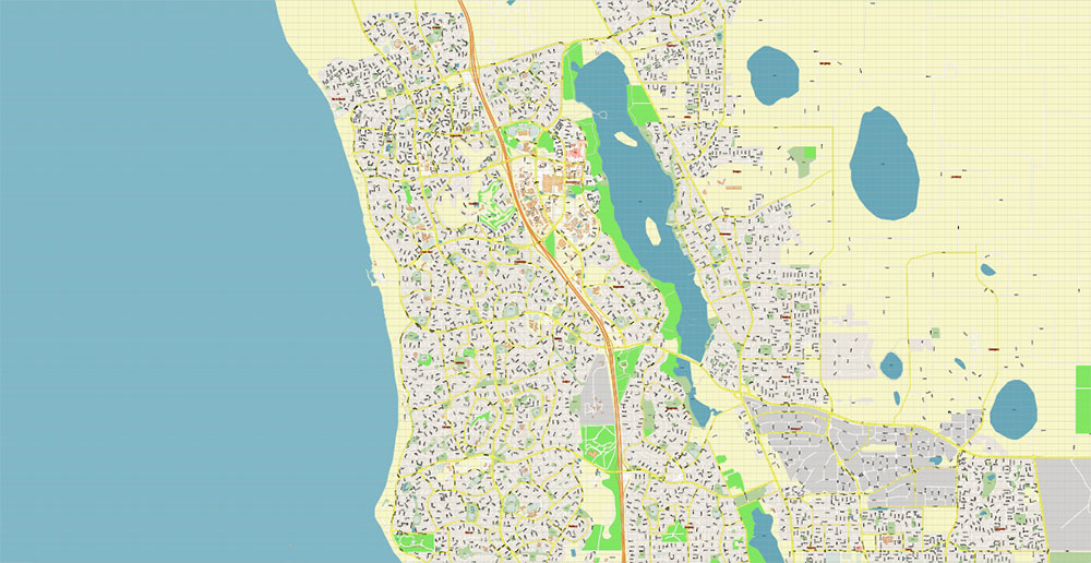
Perth Metro Area Australia PDF Vector Map: Accurate High Detailed City Plan editable Adobe PDF Street Map in layers
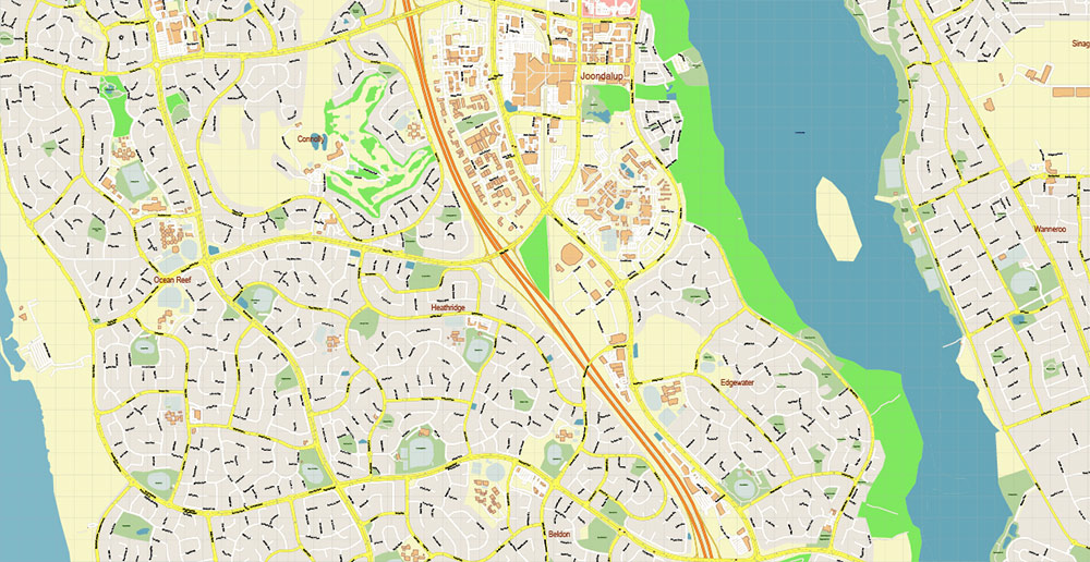
Perth Metro Area Australia PDF Vector Map: Accurate High Detailed City Plan editable Adobe PDF Street Map in layers
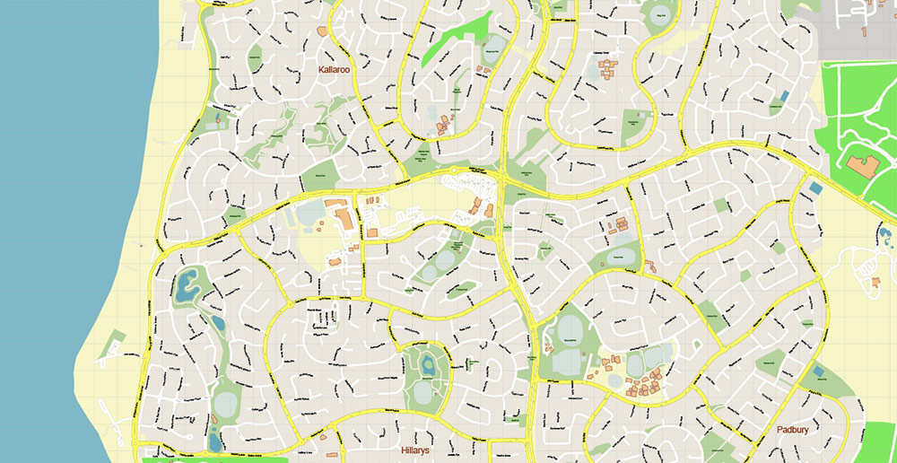
Perth Metro Area Australia PDF Vector Map: Accurate High Detailed City Plan editable Adobe PDF Street Map in layers
Perth Metro Area Australia PDF Vector Map: Accurate High Detailed City Plan editable Adobe PDF Street Map in layers
Perth Metro Area Australia PDF Vector Map: Accurate High Detailed City Plan editable Adobe PDF Street Map in layers
Perth Metro Area Australia PDF Vector Map: Accurate High Detailed City Plan editable Adobe PDF Street Map in layers
Perth Metro Area Australia PDF Vector Map: Accurate High Detailed City Plan editable Adobe PDF Street Map in layers
Perth Metro Area Australia PDF Vector Map: Accurate High Detailed City Plan editable Adobe PDF Street Map in layers
Perth Metro Area Australia PDF Vector Map: Accurate High Detailed City Plan editable Adobe PDF Street Map in layers
Perth Metro Area Australia PDF Vector Map: Accurate High Detailed City Plan editable Adobe PDF Street Map in layers
Perth Metro Area Australia PDF Vector Map: Accurate High Detailed City Plan editable Adobe PDF Street Map in layers
Perth Metro Area Australia PDF Vector Map: Accurate High Detailed City Plan editable Adobe PDF Street Map in layers
Perth Metro Area Australia PDF Vector Map: Accurate High Detailed City Plan editable Adobe PDF Street Map in layers
Perth Metro Area Australia PDF Vector Map: Accurate High Detailed City Plan editable Adobe PDF Street Map in layers
Perth Metro Area Australia PDF Vector Map: Accurate High Detailed City Plan editable Adobe PDF Street Map in layers
Perth Metro Area Australia PDF Vector Map: Accurate High Detailed City Plan editable Adobe PDF Street Map in layers
Perth Metro Area Australia PDF Vector Map: Accurate High Detailed City Plan editable Adobe PDF Street Map in layers
Perth Metro Area Australia PDF Vector Map: Accurate High Detailed City Plan editable Adobe PDF Street Map in layers
Perth Metro Area Australia PDF Vector Map: Accurate High Detailed City Plan editable Adobe PDF Street Map in layers
Perth Metro Area Australia PDF Vector Map: Accurate High Detailed City Plan editable Adobe PDF Street Map in layers

Perth Metro Area Australia PDF Vector Map: Accurate High Detailed City Plan editable Adobe PDF Street Map in layers
Perth Metro Area Australia PDF Vector Map: Accurate High Detailed City Plan editable Adobe PDF Street Map in layers
Perth Metro Area Australia PDF Vector Map: Accurate High Detailed City Plan editable Adobe PDF Street Map in layers
Perth Metro Area Australia PDF Vector Map: Accurate High Detailed City Plan editable Adobe PDF Street Map in layers
Perth Metro Area Australia PDF Vector Map: Accurate High Detailed City Plan editable Adobe PDF Street Map in layers
Perth Metro Area Australia PDF Vector Map: Accurate High Detailed City Plan editable Adobe PDF Street Map in layers

 Author: Kirill Shrayber, Ph.D. FRGS
 Street Map editable Adobe Illustrator in layers")
")