Extended Description of the Vector Map
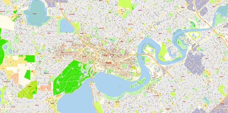
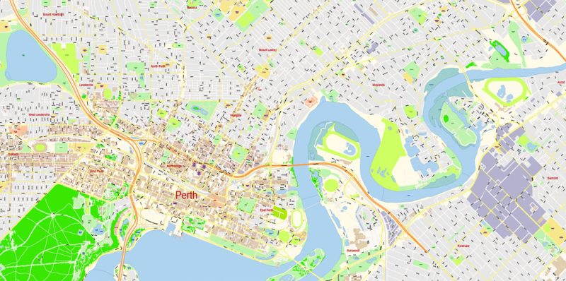
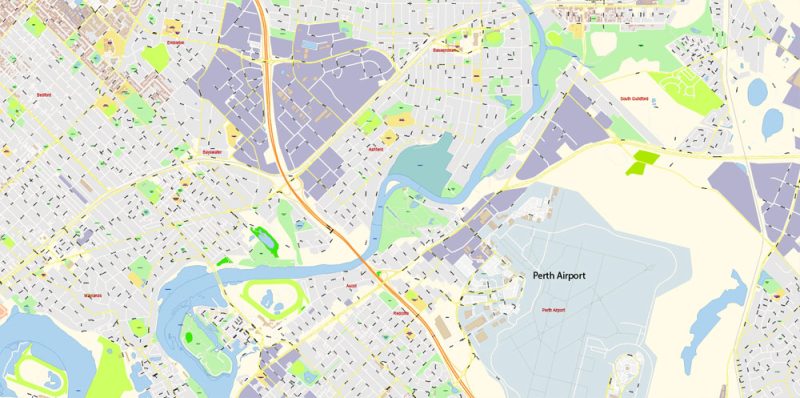
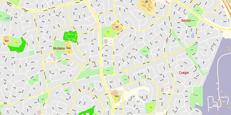
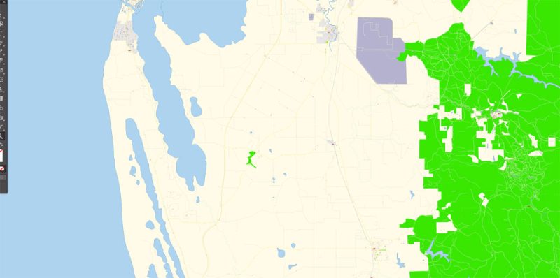
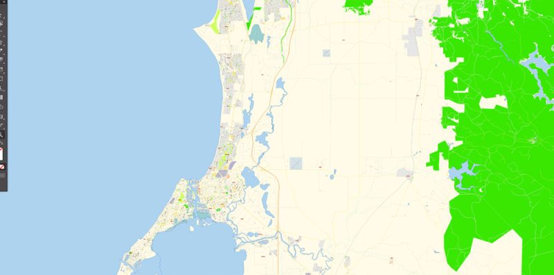
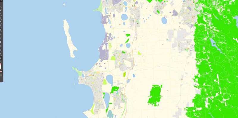
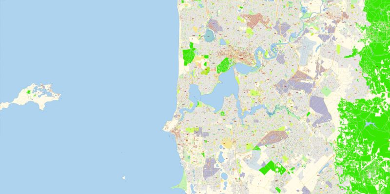
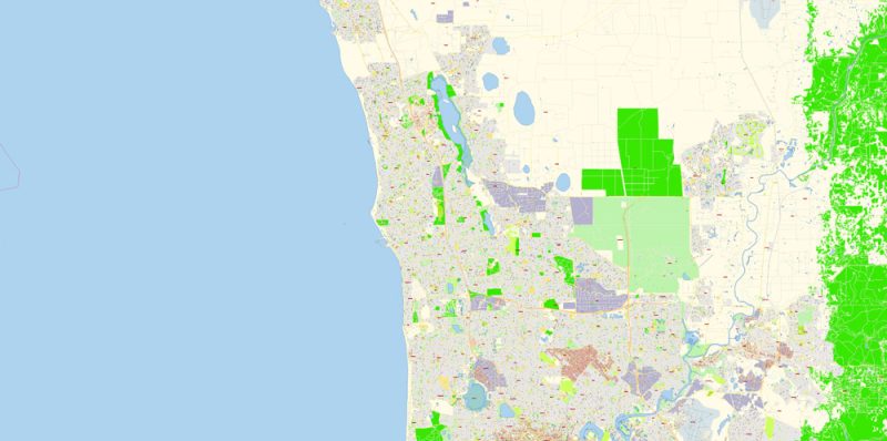
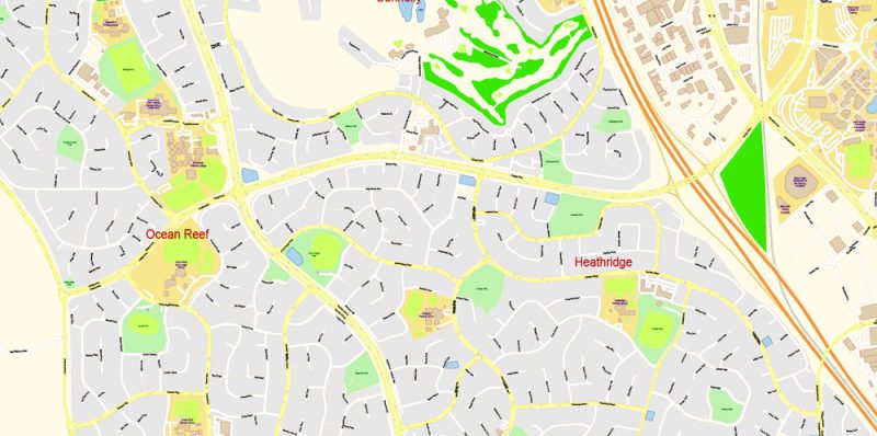
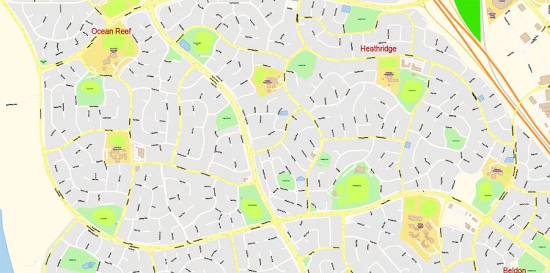
Printable PDF Vector Map of Perth Grande Australia detailed City Plan scale 100 m 1:3976 full editable Adobe PDF Street Map in layers, scalable, text format all names, 245 MB ZIP
All street names, Main Objects, Buildings. Map for design, printing, arts, projects, presentations, for architects, designers, and builders, business, logistics.
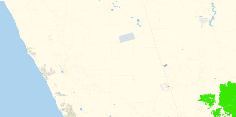
Map Area: From Two Rocks (North) to Preston Beach (South)
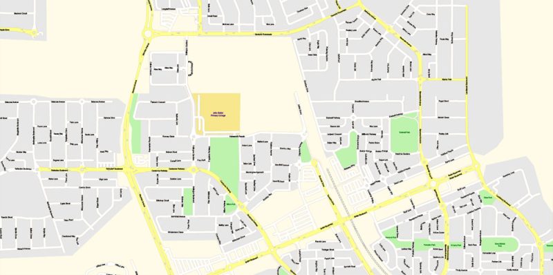
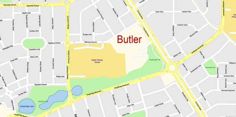
Layers: color_fills, water, streets_roads, labels_roads, names_objects, names_small_streets, names_prinsipal_streets, names_places, arrows_streets, buildings, grids, legend, etc.
The most exact and detailed map of the city in scale.
For Editing and High-Quality Printing
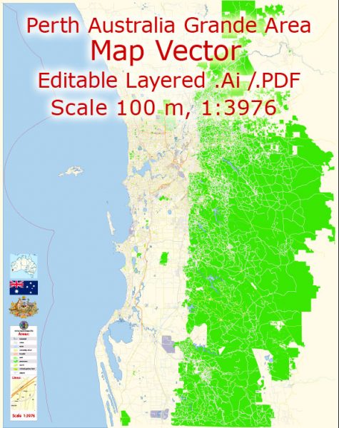
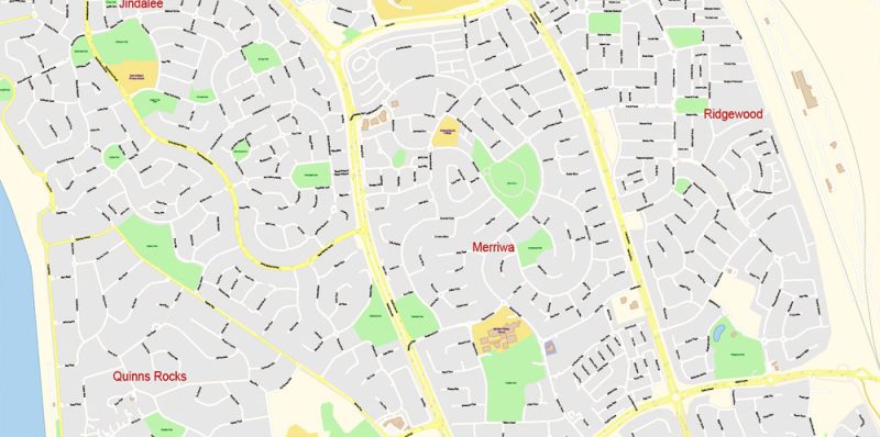
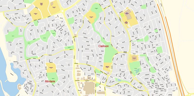
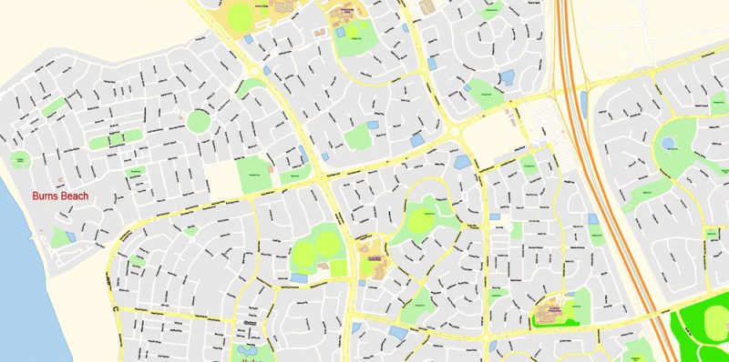
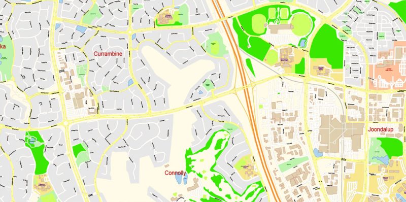
Perth Australia Map Vector Grande Exact City Plan detailed Street Map editable Adobe Illustrator in layers
Perth is a young modern city, the capital of Western Australia. The city was founded by English Lieutenant James Stirling (James Stirling) in 1829. Bringing here on his ship “Parmelia” (Parmelia) new settlers, he protected the land from French colonization. Perth has long been a small town and its population was endangered. Due to the significant distance from the whole steel world, the influx of labor into Perth was very weak, so in the first half of the 17th century, it was often necessary to import convicts into the area.
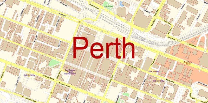
Printable Vector Map of Perth Grande Australia detailed City Plan scale 100 m 1:3976 full editable Adobe Illustrator Street Map in layers
However, the life of the city changed dramatically when gold deposits were discovered in the vicinity of Perth in the 1890s. The city began to boil, and in just a decade its population grew six times. Global changes have occurred in the appearance of Perth. Numerous skyscrapers were built, which to this day are the offices of the largest mining companies in the country. There are also many old colonial-style houses, giving the city its charm. The city is the main management center of the mining industry, which owns the world’s largest open deposits of Nickel and gold. The world’s largest diamond-bearing area of Kimberly (Kimberly) is the main competitor of the Yakut diamond Deposit.
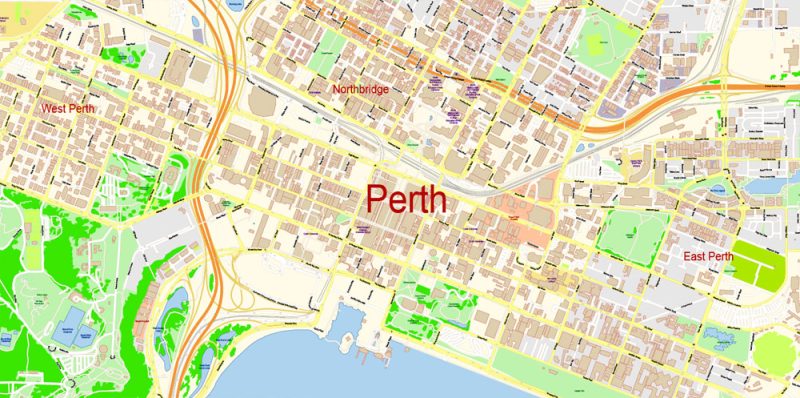
Printable Vector Map of Perth Grande Australia detailed City Plan scale 100 m 1:3976 full editable Adobe Illustrator Street Map in layers
In Perth, a very extraordinary nature – preserved centuries-old giant trees “Curry” amazes with its Majesty. To the North of the city, in the national Park Nambang (Nambung National Park), is petrified forest “Pinnacles” (Pinnacles), giving the impression of an alien settlement. The nature of the origin of this forest remains a mystery. It is believed that these blocks were formed from seashells on the bottom of the ocean that once splashed here. According to the same version, these blocks are periodically hidden in the sand and exposed again, this explains the fact that this miracle was discovered only in 1960.
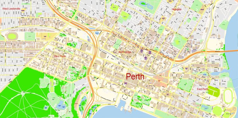
Printable Vector Map of Perth Grande Australia detailed City Plan scale 100 m 1:3976 full editable Adobe Illustrator Street Map in layers
Speaking of Pinnacle is not to mention another Grand creation of Australian nature – 340 km from the city is a truly wonderful sculpture, carved by the forces of nature in the rock of red Sandstone “Stone wave” (Wave Rock). The wave reaches 15 meters in height and 110 meters in length and changes its color during the day depending on the lighting.
Printable Vector Map of Perth Grande Australia detailed City Plan scale 100 m 1:3976 full editable Adobe Illustrator Street Map in layers
One of the main attractions of Perth is a relatively young tower – Swan bell (Swan Bell Tower). This world’s tallest glass bell tower was built in 2000. It is surrounded by copper sails and has a very majestic view. The tower has 18 bells, 12 of which were donated to the city by the English Church of St. Martin-in-the-fields on the day of the bicentennial of Australia. The bells date back to the 14th century. In the tower there is a Museum exhibition dedicated to the bells, you can also watch the work of the bell ringers through the glass floor of the second level of the tower. Next to the tower is the Swan river promenade with restaurants, marinas and pleasure boats.
Printable Vector Map of Perth Grande Australia detailed City Plan scale 100 m 1:3976 full editable Adobe Illustrator Street Map in layers
Perth has a mild Maritime climate with long hot summers and cool winters. It rarely rains, and the sun shines, on average, 8 hours a day. In summer, dry, very hot days are softened by evening breezes from the Indian ocean. Sea wind, here called “the Fremantle doctor” in Perth bring coolness and freshness. The water in the ocean warms up not as well as on the East coast, the average summer temperature of the ocean is 20 degrees Celsius. In winter, despite the noticeable cold (up to 18 degrees Celsius) and possible showers, the city still has a lot of sun.
Printable Vector Map of Perth Grande Australia detailed City Plan scale 100 m 1:3976 full editable Adobe Illustrator Street Map in layers
To the South-West of Perth, you can see a lot of endless blooming fields that attract travelers not only from Australia but also from around the world. In the valley of the Margaret River is one of the largest wine-growing areas of the country. White wine “Sauvignon Blanc” (Sauvignon Blanc) all over the world famous for its exquisite taste and alluring aroma.
Printable Vector Map of Perth Grande Australia detailed City Plan scale 100 m 1:3976 full editable Adobe Illustrator Street Map in layers
Printable Vector Map of Perth Grande Australia detailed City Plan scale 100 m 1:3976 full editable Adobe Illustrator Street Map in layers
Printable Vector Map of Perth Grande Australia detailed City Plan scale 100 m 1:3976 full editable Adobe Illustrator Street Map in layers
Printable Vector Map of Perth Grande Australia detailed City Plan scale 100 m 1:3976 full editable Adobe Illustrator Street Map in layers
Printable Vector Map of Perth Grande Australia detailed City Plan scale 100 m 1:3976 full editable Adobe Illustrator Street Map in layers
Printable Vector Map of Perth Grande Australia detailed City Plan scale 100 m 1:3976 full editable Adobe Illustrator Street Map in layers
Printable Vector Map of Perth Grande Australia detailed City Plan scale 100 m 1:3976 full editable Adobe Illustrator Street Map in layers
Printable Vector Map of Perth Grande Australia detailed City Plan scale 100 m 1:3976 full editable Adobe Illustrator Street Map in layers
Printable Vector Map of Perth Grande Australia detailed City Plan scale 100 m 1:3976 full editable Adobe Illustrator Street Map in layers
Printable Vector Map of Perth Grande Australia detailed City Plan scale 100 m 1:3976 full editable Adobe Illustrator Street Map in layers
Printable Vector Map of Perth Grande Australia detailed City Plan scale 100 m 1:3976 full editable Adobe Illustrator Street Map in layers
Printable Vector Map of Perth Grande Australia detailed City Plan scale 100 m 1:3976 full editable Adobe Illustrator Street Map in layers
Printable Vector Map of Perth Grande Australia detailed City Plan scale 100 m 1:3976 full editable Adobe Illustrator Street Map in layers
Printable Vector Map of Perth Grande Australia detailed City Plan scale 100 m 1:3976 full editable Adobe Illustrator Street Map in layers
Printable Vector Map of Perth Grande Australia detailed City Plan scale 100 m 1:3976 full editable Adobe Illustrator Street Map in layers


 Author: Kirill Shrayber, Ph.D. FRGS
 Street Map editable Adobe Illustrator in layers")
")