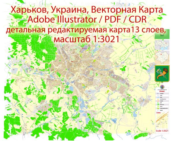
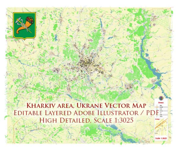
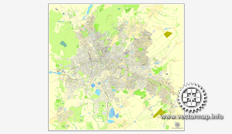
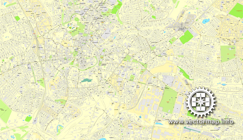
Kharkiv, Ukraine, printable vector street City Plan map, full editable, Adobe PDF, full vector, scalable, editable, text format street names, 46 mb ZIP
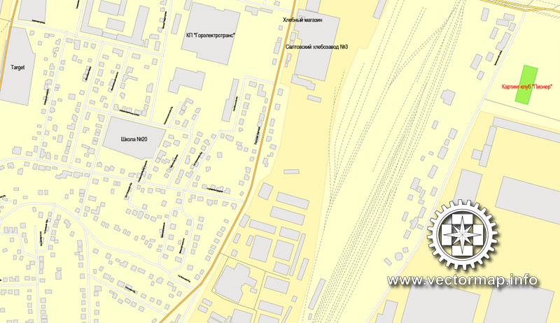
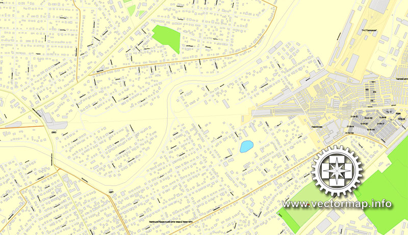
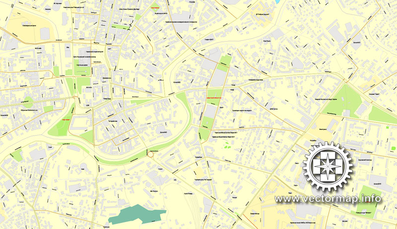
All streets, All buildings. Map for design, print, arts, projects, presentations,
for architects, designers and builders.
You can edit this file by Adobe Illustrator, Adobe Acrobat, Corel Draw.
DXF, DWG, CDR and other formats – on request, same price, please, contact
You can get this map free of charge – only for 5 permanent links on your websites or blogs Vector maps of all cities and countries – just email us.
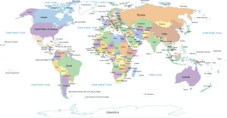
Free vector map World Planisphere, Adobe Illustrator, download now maps vector clipart, Map for design, projects, presentation free to use as you like. World map vector, Vector world map, World vector map, Map western europe, West europe maps, Map of the world modifiable, High resolution world map, World map illustrator, World map PDF editable, World vector map download,
Free vector map World Planisphere, Adobe Illustrator, download now maps vector clipart
Map for design, projects, presentation free to use as you like.
All Free Vector World Maps >>>>>>
Харьков, Украина, векторная карта в формате Adobe PDF, полностью редактируемая, имена улиц и объектов в текстовом формате, 46 мегабайт в зип архиве
Карта предназначена для дизайна, презентаций, полиграфии, рекламы, для строителей, архитекторов и проектировщиков.
Проекция Меркатор. Другие проекции – на заказ, та же цена.
DXF, DWG, CDR и другие форматы – на заказ, та же цена, contact
Вы можете получить эту карту бесплатно – всего лишь за 5 постоянных ссылок на ваших сайтах или блогах Vector maps of all cities and countries – просто напишите нам.
Kharkiv
City in Ukraine
Kharkiv, or Kharkov, is the second-largest city in Ukraine. Located in the north-east of the country, it is the largest city of the Slobozhanshchyna historical region. The city has a population of about 1.5 million people.
Area: 310 km²
Founded: 1654
Population: 1.431 million (2013) UNdata
Number of airports: 1
Kharkiv, is the second-largest city in Ukraine. Located in the north-east of the country, it is the largest city of the Slobozhanshchyna historical region. The city has a population of about 1.5 million people. Kharkiv is the administrative centre of Kharkiv Oblast and of the surrounding Kharkiv district.
The city was founded in 1654 and after a humble beginning as a small fortress grew to be a major centre of Ukrainian industry, trade and culture within the Russian Empire.
Kharkiv was the first capital of the Ukrainian Soviet Socialist Republic December 1917 – January 1935, after which the capital relocated to Kiev.
Presently, Kharkiv operates as a major cultural, scientific, educational, transport and industrial centre of Ukraine, with 60 scientific institutes, 30 higher education universities and institutions, 6 museums, 7 theatres and 80 libraries.
Its industry specializes primarily in machinery and in electronics. There are hundreds of industrial companies in the city, including the Morozov Design Bureau and the Malyshev Tank Factory (leaders in world tank production from the 1930s to the 1980s); Khartron (aerospace and nuclear power plants automation electronics); the Turboatom (turbines for the hydro-, thermal- and nuclear- power plants), and Antonov (the multipurpose aircrafts manufacturing plant).
Small guide: How to work with the vector map?
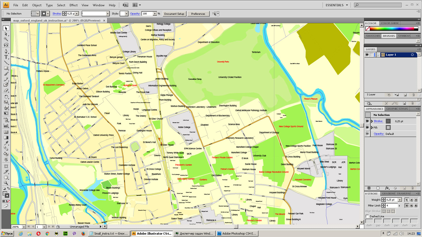
You can: Mass select objects by type and color – for example, the objects type “building” (they are usually dark gray) – and remove them from the map, if you do not need them in your print or design project. You can also easily change the thickness of lines (streets), just bulk selection the road by the line color.
The streets are separated by type, for example, type “residential road” are usually white with a gray stroke. Highway usually orange with a brown or dark gray stroke.
It is easy to change the font of inscriptions, all or each individually. Also, just can be make and any other manipulation of objects on the vector map in Adobe illustrator format.
Important: All the proportions on the map are true, that is, the relative sizes of the objects are true, because Map is based on an accurate GPS projection, and It transated into the (usual for all) the Mercator projection.
You can easily change the color, stroke and fill of any object on the map, zoom without loss of quality Image Verification.
Select object
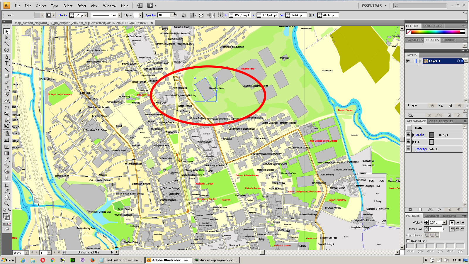
Bulk selection the same objects on the vector map
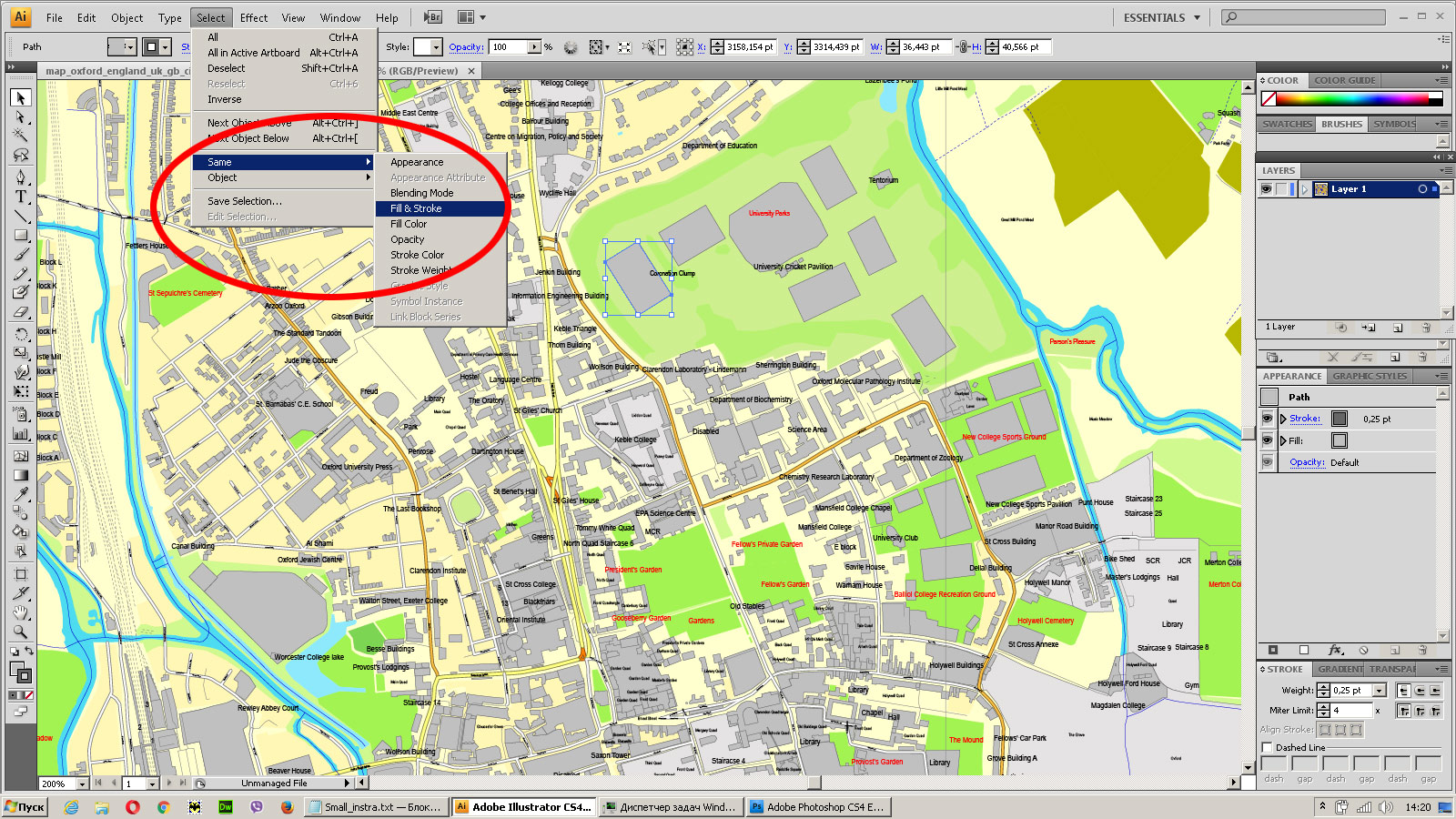
See the bulk selected objects on the vector map
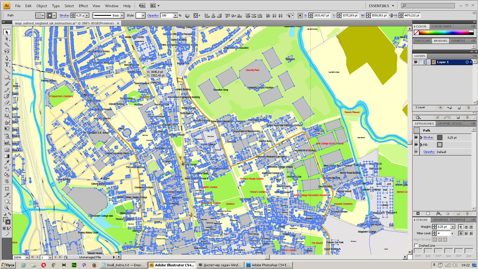
Bulk delete buildungs from the vector map
Select residencial road (small street) on the vector map
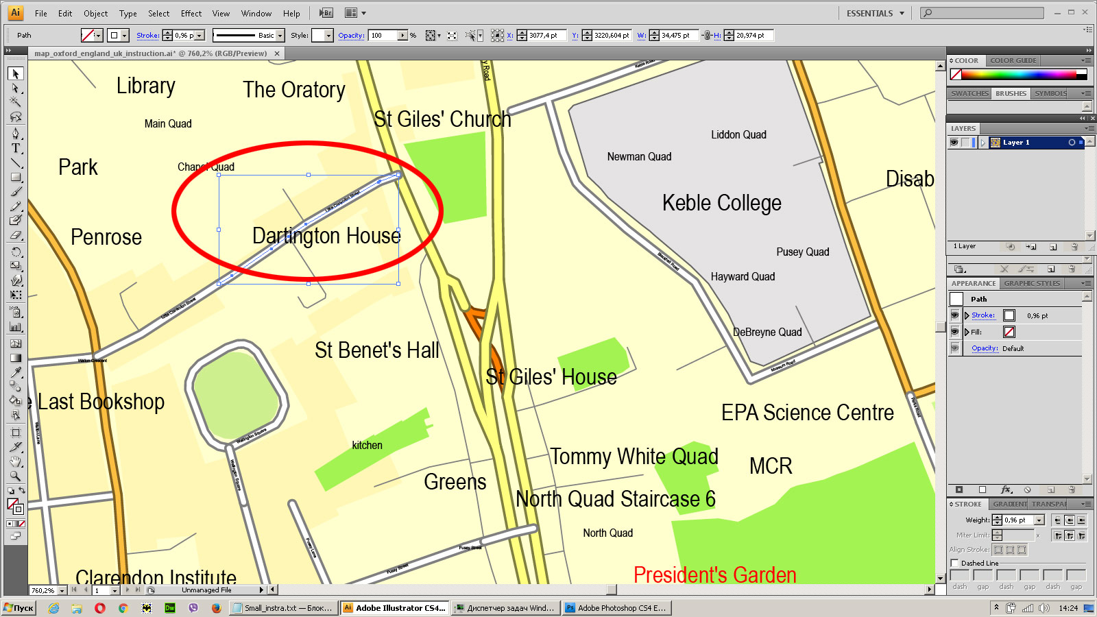
Bulk selection the same lines (streets, roads) on the full map
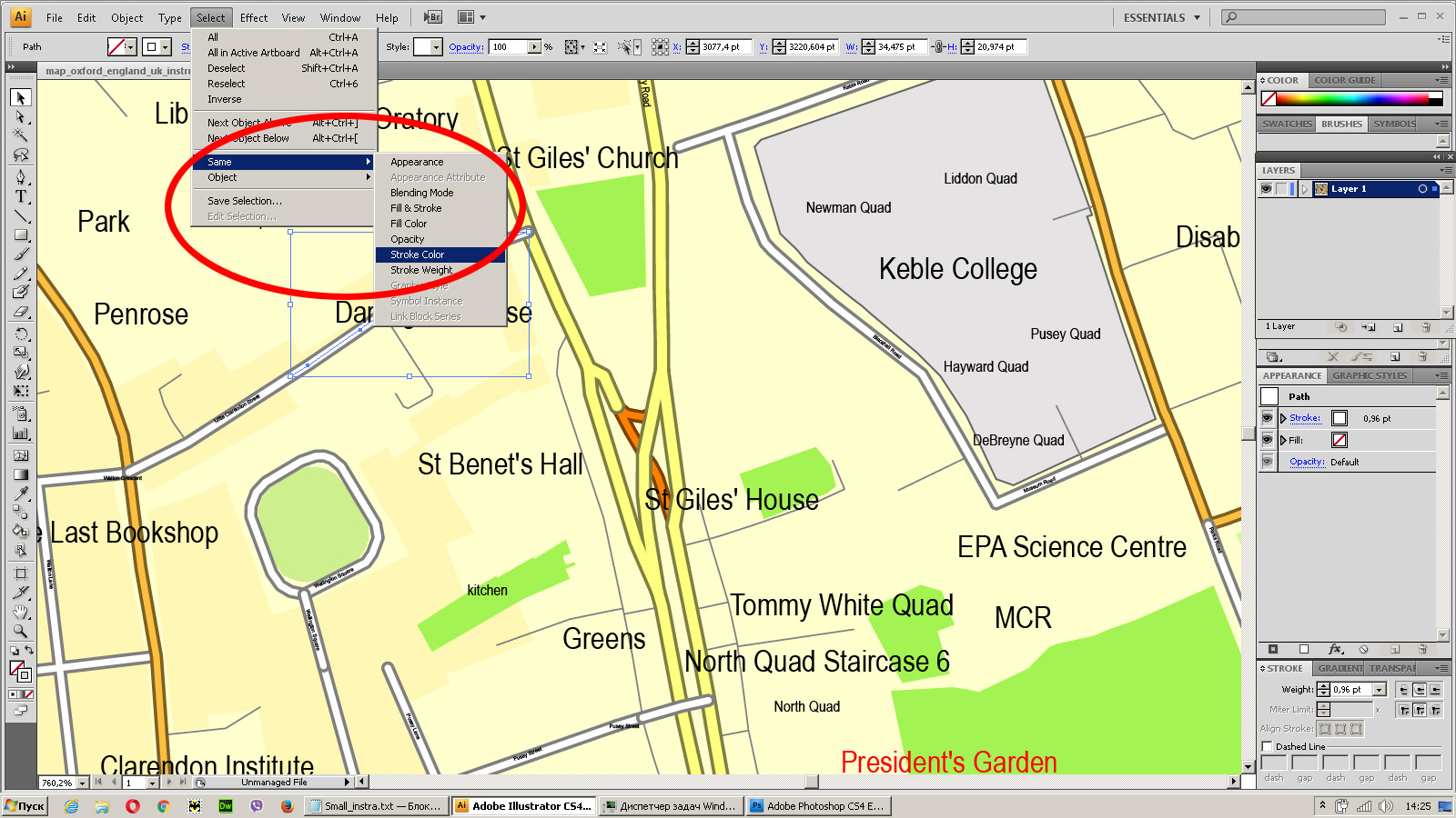
Create fat lines of the streets on the vector maps (bulk action) 1
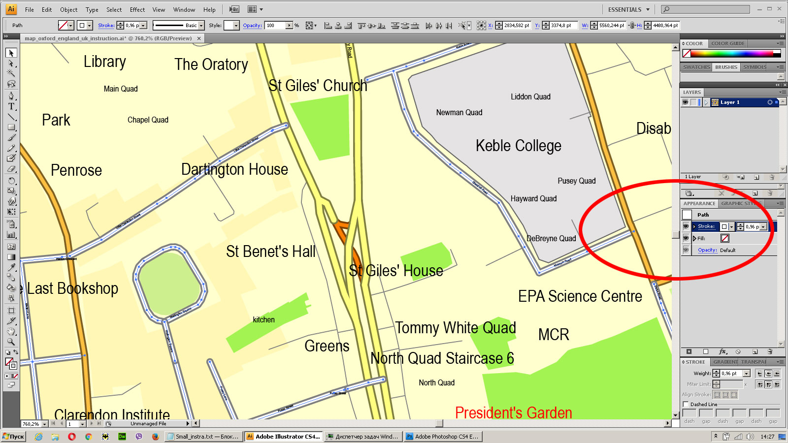
Create fat lines of the streets on the vector maps (bulk action) 2
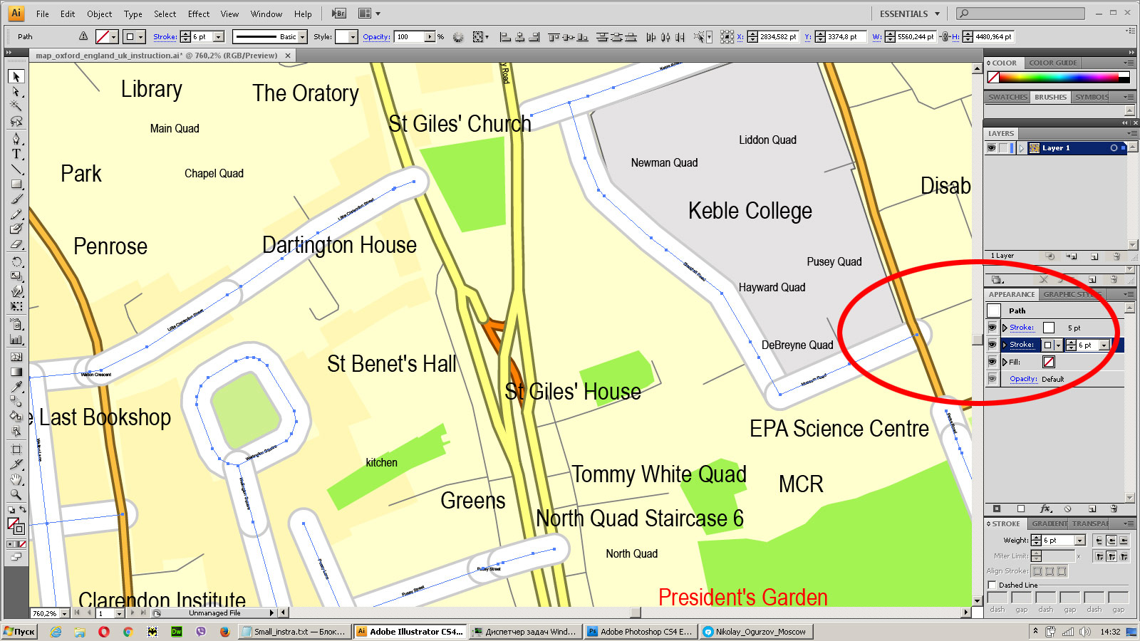
Create fat lines of the streets on the vector maps (bulk action) 3
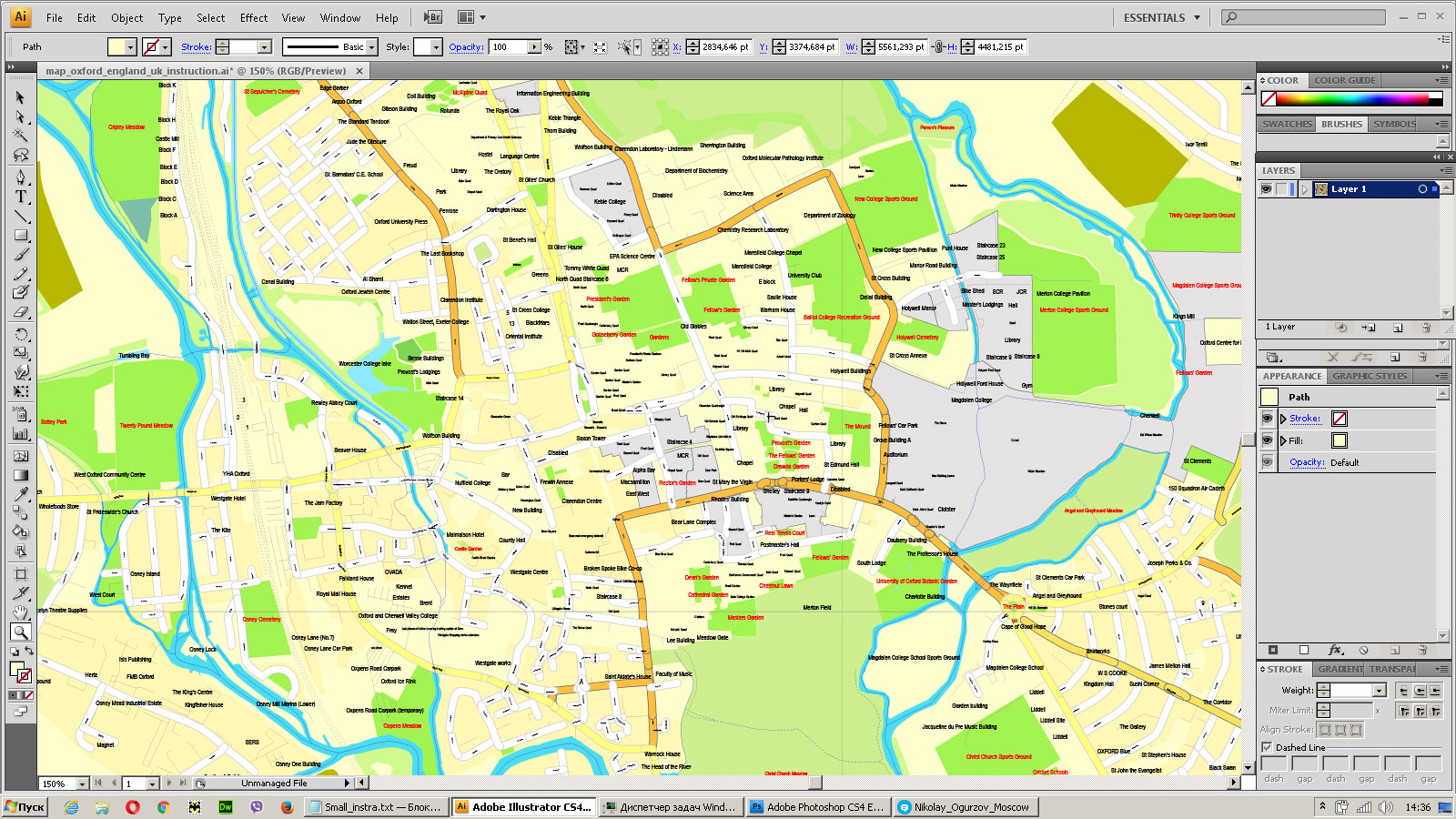
You can easily change the color, stroke and fill of any object on the map, zoom without loss of quality Image Verification.




 Author: Kirill Shrayber, Ph.D. FRGS