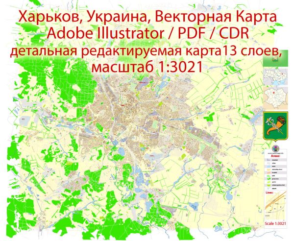
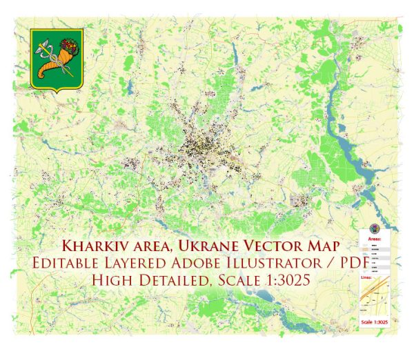
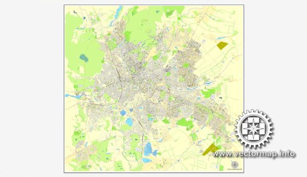
Kharkiv is divided into several districts, each with its own unique character, history, and features. Vectormap.Net provide you with the most accurate and up-to-date vector maps in Adobe Illustrator, PDF and other formats, designed for editing and printing. Please read the vector map descriptions carefully. Here’s an overview of some of the major districts in Kharkiv:
- Kyivskyi District:
- Home to the central part of the city, Kyivskyi District encompasses Freedom Square (Ploshcha Svobody) and many historical landmarks.
- It’s a bustling area with commercial and administrative buildings, shops, restaurants, and cultural institutions.
- Shevchenkivskyi District:
- Named after the famous Ukrainian poet Taras Shevchenko, this district is located to the southwest of the city center.
- It features educational institutions, including Kharkiv National University, as well as residential areas.
- Moskovskyi District:
- Situated to the southeast of the city center, Moskovskyi District is known for its industrial zones, including the large industrial complex known as “Turboatom.”
- The district has a mix of residential and industrial areas.
- Holosiivskyi District:
- Located in the southern part of Kharkiv, this district is known for its residential neighborhoods, parks, and recreational areas.
- The Holosiivka Forest, a large green space, provides opportunities for outdoor activities.
- Frunzenskyi District:
- Found to the northwest of the city center, Frunzenskyi District is characterized by a mix of residential and industrial zones.
- It houses the Kharkiv Zoo and several educational institutions.
- Saltivskyi District:
- Situated to the northeast of the city center, Saltivskyi District is known for its residential areas and the Saltivka neighborhood.
- It features parks, schools, and shopping centers.
- Nemyshlyanskyi District:
- Located in the southwest, this district has a mix of residential and industrial areas.
- It is known for its transportation infrastructure, including the Kharkiv International Airport.
- Chervonozavodskyi District:
- Situated to the south of the city center, Chervonozavodskyi District is known for its industrial enterprises.
- It includes the famous “Derzhprom” building, symbolizing the industrialization of Ukraine.
- Slobidskyi District:
- Encompassing parts of the historical Sloboda Ukraine region, this district has a mix of residential and commercial areas.
- It includes neighborhoods like Pavlovo Pole and is known for its cultural heritage.
Each district and neighborhood in Kharkiv contributes to the city’s overall diversity and charm. As the city continues to develop, new areas may emerge, and existing ones may undergo changes, so it’s advisable to check more recent sources for the latest information on Kharkiv’s districts and neighborhoods.


 Author: Kirill Shrayber, Ph.D.