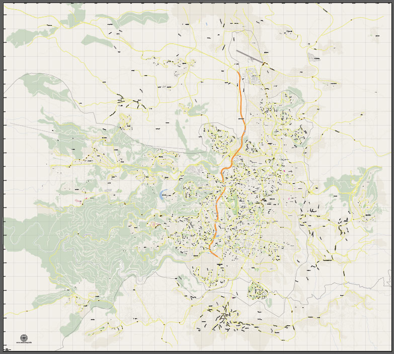
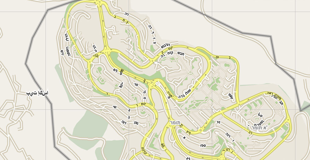
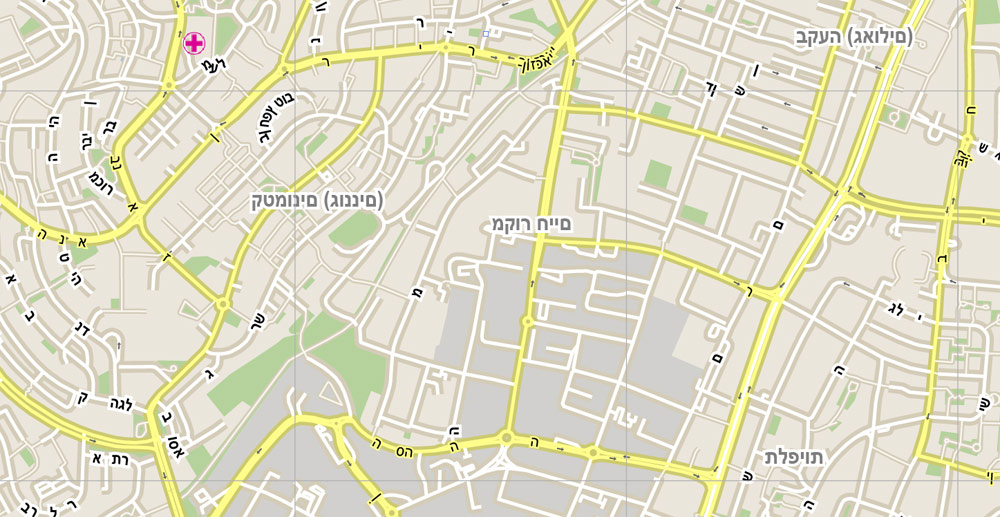
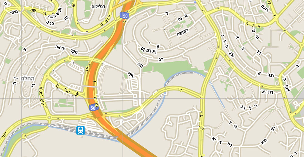
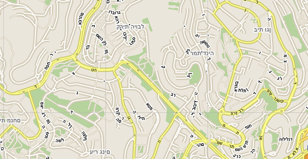
Jerusalem, Israel, printable vector street City Plan G-View V.3 map full editable, Adobe PDF, full vector, scalable, editable, text format street names, 19 mb ZIP
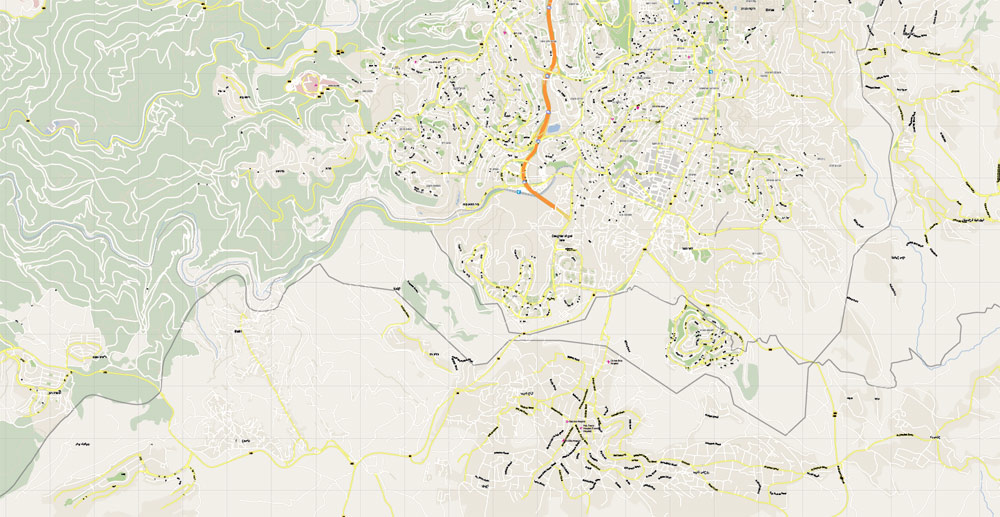
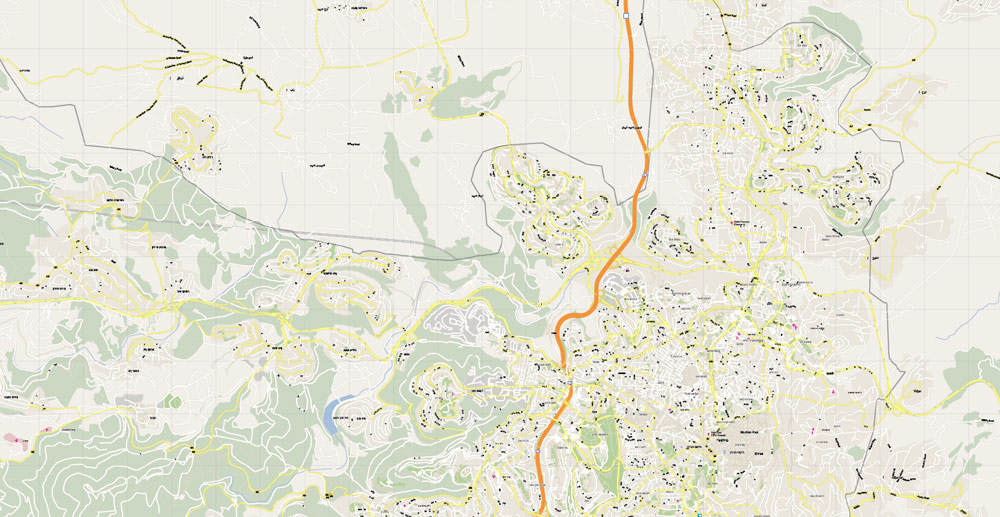
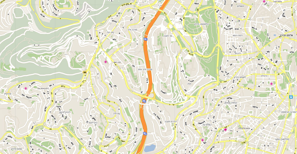
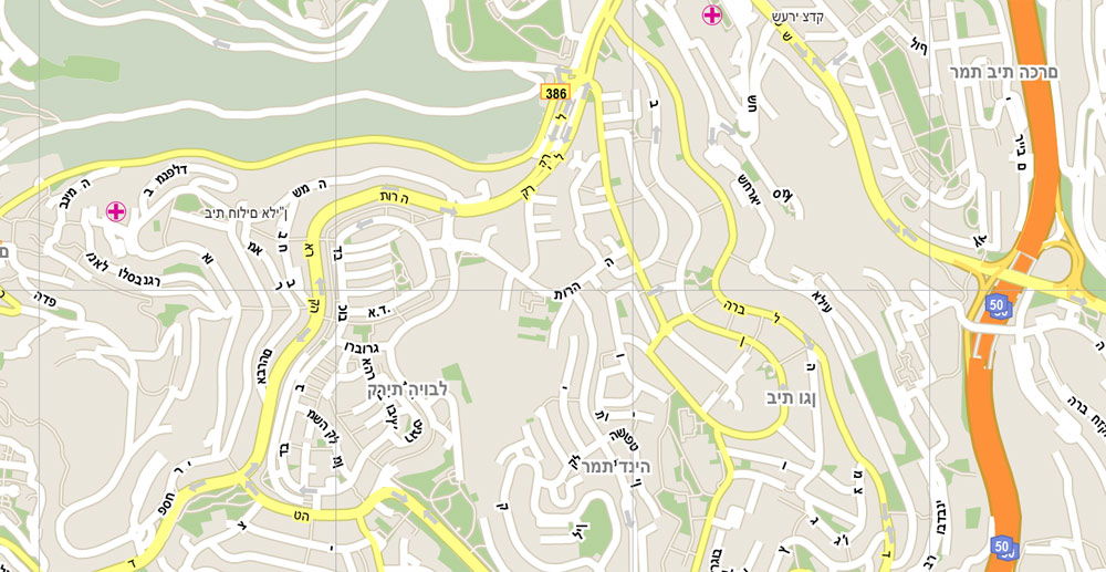
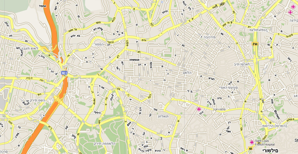
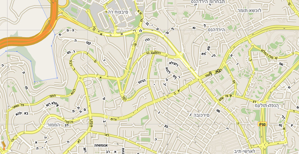
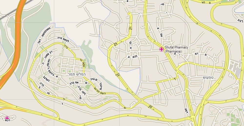
All streets, No buildings, Level 15 = 500 m scale. Map for design, printing, arts, projects, presentations, for architects, designers and builders, business, logistics.
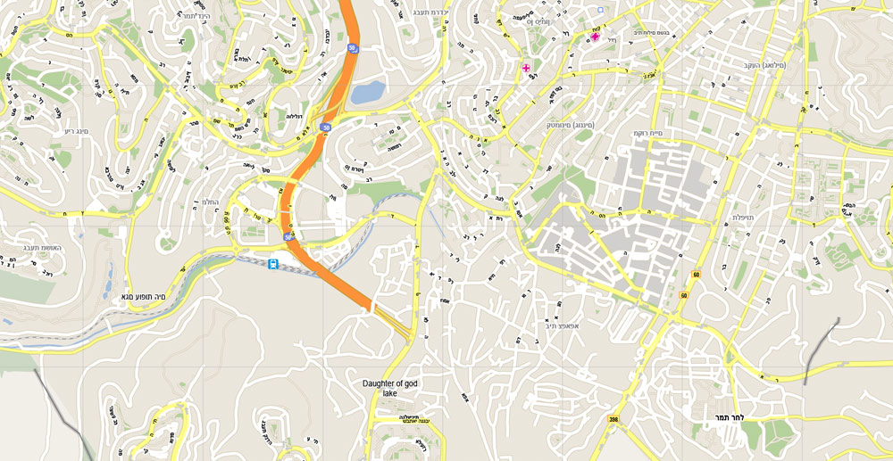
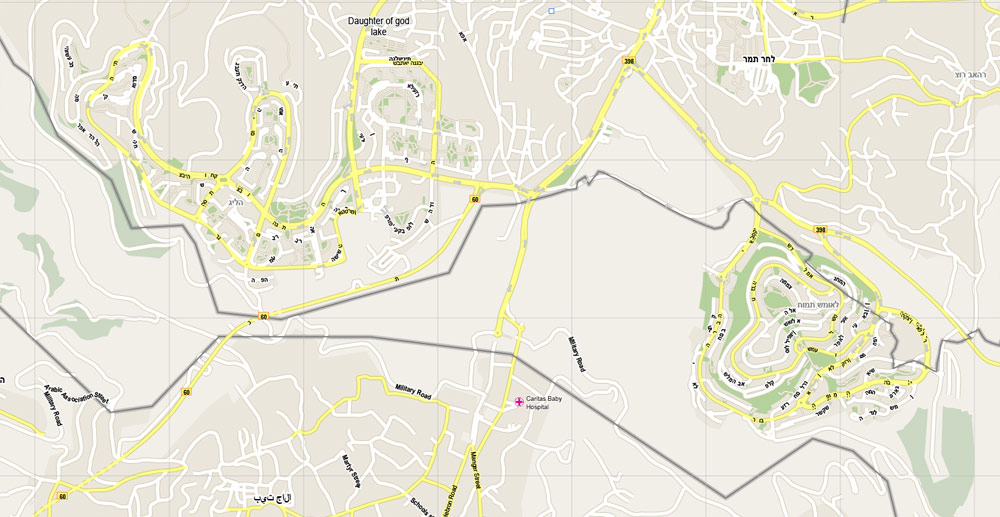
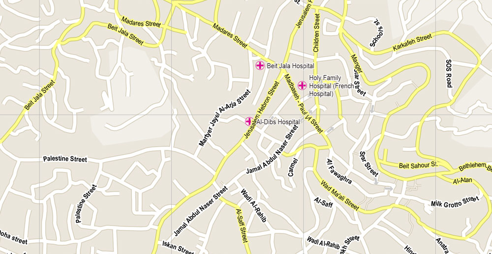
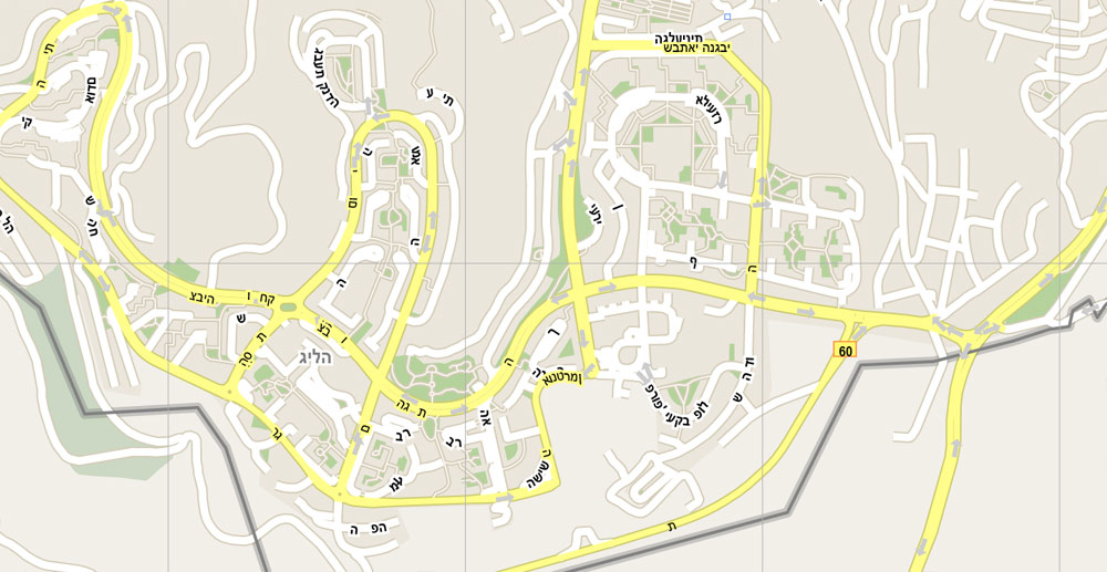
The most accurate and detailed map of the city.
You can edit this file by Adobe Illustrator, Adobe Acrobat, Corel Draw.
DXF, DWG, CDR and other formats – on request, same price, please, contact
Jerusalem, Israel.
This vector map of Jerusalem city is used as a basis for design, editing, and further printing.
This is the most detailed, exact map of Jerusalem city for high-quality printing and polygraphy. You can always clarify the map development date by contacting us.
For your convenience, all objects on Jerusalem vector city map are divided into layers. And the editing is very easy – colors, lines, etc.
You can easily add any objects needed (e.g. shops, salons, sale points, gas station or attraction) on any layer of Jerusalem vector map.
Jerusalem is a city in the Middle East, located on a plateau in the Judaean Mountains between the Mediterranean and the Dead Sea. It is one of the oldest cities in the world, and is considered holy to the three major Abrahamic religions—Judaism, Christianity, and Islam. Both Israel and the Palestinian Authority claim Jerusalem as their capital, as Israel maintains its primary governmental institutions there and the State of Palestine ultimately foresees it as its seat of power; however, neither claim is widely recognized internationally.
One of the advantages of Jerusalem city vector maps of our production is the relevance of cartographic data, we constantly update all our products.
This vector map of Jerusalem city is used by:
designers, layout designers, printers, advertisers and architects. Our product – vector maps – is designed for further editing and printing in large formats – from @Wall format (a few meters) to A-0 and A-1, A-2, A-3.
Jerusalem city map in vector format is used for design, urban planning, presentations and media visualizations.
Advertising and presentation map of Jerusalem city (usually the final designer marks the routes, and puts the client’s objects (shops, saloons, gas stations etc.)
The undoubted advantage is that people will NEVER throw out this advertising product – the map. In fact, as an advertising medium, a city map is the most “long-playing” of the well-known polygraphic advertising media, with the longest lifespan, and the maximum number of interactions with the customer.
During its long history, Jerusalem has been destroyed at least twice, besieged 23 times, attacked 52 times, and captured and recaptured 44 times. The part of Jerusalem called the City of David was settled in the 4th millennium BCE. Jerusalem was named as “Urusalim” on ancient Egyptian tablets, probably meaning “City of Shalem” after a Canaanite deity, during the Canaanite period (14th century BCE). During the Israelite period, significant construction activity in Jerusalem began in the 9th century BCE (Iron Age II), and in the 8th century the city developed into the religious and administrative center of the Kingdom of Judah. In 1538, the city walls were rebuilt for a last time around Jerusalem under Suleiman the Magnificent. Today those walls define the Old City, which has been traditionally divided into four quarters—known since the early 19th century as the Armenian, Christian, Jewish, and Muslim Quarters. The Old City became a World Heritage Site in 1981, and is on the List of World Heritage in Danger. Since 1860 Jerusalem has grown far beyond the Old City’s boundaries. In 2015, Jerusalem had a population of some 850,000 residents, comprising approximately 200,000 secular Jewish Israelis, 350,000 Haredi Jews and 300,000 Palestinians. In 2011, the population numbered 801,000, of which Jews comprised 497,000 (62%), Muslims 281,000 (35%), Christians 14,000 (around 2%) and 9,000 (1%) were not classified by religion.
For travelers, maps are sold at the airports and gas stations around the world. Often the source is our vector maps.
Take a look, who purchases our vector maps of Jerusalem city in “Our Clients and Friends” page – these are large and small companies, from super-brands like Volvo and Starbucks, to small design studios and printing houses.
It’s very easy to work with vector maps of Jerusalem city, even for a not very experienced designer who can turn on and off the map layers, add new objects, change the colors of fill and lines according to customer requirements.
The undoubted advantage of Jerusalem city vector maps in printing is an excellent and detailed visualization, when customer can expand a large paper map and instantly define his location, find a landmark, an object or address on map, unlike using the popular electronic formats of Google and Yandex maps for example.
Printable vector maps of Jerusalem city are much more convenient and efficient than any electronic maps on your smartphone, because ALL DETAILS are displayed in the entire space of Jerusalem city map.
Useful tips on working with vector maps of cities and countries in Adobe Illustrator.
«V» – launches the Selection tool (cursor, black arrow), which makes active any vector line.
«А» – launches the Direct Selection tool (white cursor), allows you to select curve elements and drag them to the desired place.
«R» – activates the Rotate tool, which helps you rotating selected objects around the center point by 360 degrees.
«E» – gives you the opportunity to use the Eraser tool and erase unnecessary parts.
«X» – switches between Fill and Stroke in the Tools section. Try to get used to this hot key and
you will quickly understand that you can’t live and work without it.
According to the Bible, King David conquered the city from the Jebusites and established it as the capital of the united kingdom of Israel, and his son, King Solomon, commissioned the building of the First Temple. These foundational events, straddling the dawn of the 1st millennium BCE, assumed central symbolic importance for the Jewish people. The sobriquet of holy city (עיר הקודש, transliterated ‘ir haqodesh) was probably attached to Jerusalem in post-exilic times. The holiness of Jerusalem in Christianity, conserved in the Septuagint which Christians adopted as their own authority, was reinforced by the New Testament account of Jesus’s crucifixion there. In Sunni Islam, Jerusalem is the third-holiest city, after Mecca and Medina. In Islamic tradition, in 610 CE it became the first qibla, the focal point for Muslim prayer (salat), and Muhammad made his Night Journey there ten years later, ascending to heaven where he speaks to God, according to the Quran. As a result, despite having an area of only 0.9 square kilometres (0.35 sq mi), the Old City is home to many sites of seminal religious importance, among them the Temple Mount with its Western Wall, Dome of the Rock and al-Aqsa Mosque, and the Church of the Holy Sepulchre. Outside the Old City stands the Garden Tomb.
Guides are not limited to vertical and horizontal in Adobe Illustrator. You can also create a diagonal guide for example. Moreover, you can turn any contours into guides. Select the outline and go to View > Guides > Make Guides (Create Guides), or simply press Cmd/Ctrl + 5. You can also turn the guides back into an editable object. Go to menu, View > Guides > Unlock Guides (Release Guides), select the guide you want to edit and select View > Guides > Release Guides (Reset Guides), or just press Cmd/Ctrl + Option / Alt + 5).
You will probably want to change the color scheme used on our Jerusalem vector city map.
To quickly and effectively play with colors.
Of course, you can do it manually, all objects in our Jerusalem city vector map are divided according to types and layers, and you can easily change the color gamma of vector objects in groups and layers.
But there is more effective way of working with the whole VECTOR MAP of Jerusalem city and all layers:
The overview dialog «Edit colors»/«Repaint Graphic Object» (this dialog box name can change depending on the context):
If you have selected a part or a layer of Jerusalem city vector map and open the dialog box by clicking the icon in the Control panel, on the Samples palette or the Color Catalog, or if you choose Edit > Edit Colors> Repaint Graphic Object, then the «Repaint Graphic Object» dialog box appears, and you get access to «Assign» and «Edit» tabs.
Today, the status of Jerusalem remains one of the core issues in the Israeli–Palestinian conflict. During the 1948 Arab–Israeli War, West Jerusalem was among the areas captured and later annexed by Israel while East Jerusalem, including the Old City, was captured and later annexed by Jordan. Israel captured East Jerusalem from Jordan during the 1967 Six-Day War and subsequently annexed it into Jerusalem, together with additional surrounding territory. One of Israel’s Basic Laws, the 1980 Jerusalem Law, refers to Jerusalem as the country’s undivided capital. All branches of the Israeli government are located in Jerusalem, including the Knesset (Israel’s parliament), the residences of the Prime Minister (Beit Aghion) and President (Beit HaNassi), and the Supreme Court. While the international community rejected the annexation as illegal and treats East Jerusalem as Palestinian territory occupied by Israel, Israel has a stronger claim to sovereignty over West Jerusalem.
Use these commands if you need to edit the colors in the selected vector map of Jerusalem city.
«Repaint Graphic object» button on the «Control» panel.
Use this button if you need to adjust colors of Jerusalem city vector map using the а «Repaint graphic object» dialog box.
The specified button is available if the selected vector map or its fragment contains two or more colors.
Note. This color editing method is convenient for global color adjustment in a vector map, if global colors were not used when creating a City Map of Jerusalem.
The «Edit colors» button or «Edit or apply colors» on the «Color Catalog» palette
Click this button if you need to edit colors on the «Color Catalog» palette or edit and then apply them to the selected Vector Map of Jerusalem city or its fragment.
If a picture or a map fragment is not selected, and you open the dialog box by clicking the icon in the Control panel, on the Samples palette or in the Color Catalog, the «Edit Colors» dialog box appears and you can only access the «Edit» tab.
Regardless of the name at the top of the dialog box, the right-hand side always displays the color group of the current document, as well as two default color groups: Print Color and Grayscale. These color groups can be selected and used any time.
Create and edit color groups of Jerusalem city vector map, and also assign colors using the «Edit Colors»/ а «Repaint Graphic Object» dialog box.
A. Creating and editing of a color group on the «Edit» tab
B. Assigning colors on the «Assign» tab
C. Select a group of colors from the «Color groups» list
The option «Repaint a graphic object» in the lower part of the dialog box allows you to preview the colors on a selected layer of Vector map, or a group of elements, and specify whether its colors will be redefined when the dialog box is closed.
The main areas of the dialog box are:
«Edit»
The «Edit» tab is designed to create a new or edit the existing color groups.
The harmony rules Menu and the Color Wheel are used to conduct experiments with color harmonies. The color wheel shows how colors are related in color harmony, and the color bars allow you to view and manipulate an individual color values. In addition, you can adjust the brightness, add and remove colors, save color groups and view colors on the selected Vector Map of Jerusalem city or a separated layers.
Jerusalem is situated on the southern spur of a plateau in the Judaean Mountains, which include the Mount of Olives (East) and Mount Scopus (North East). The elevation of the Old City is approximately 760 m (2,490 ft). The whole of Jerusalem is surrounded by valleys and dry riverbeds (wadis). The Kidron, Hinnom, and Tyropoeon Valleys intersect in an area just south of the Old City of Jerusalem. The Kidron Valley runs to the east of the Old City and separates the Mount of Olives from the city proper. Along the southern side of old Jerusalem is the Valley of Hinnom, a steep ravine associated in biblical eschatology with the concept of Gehenna or Hell. The Tyropoeon Valley commenced in the northwest near the Damascus Gate, ran south-southeasterly through the center of the Old City down to the Pool of Siloam, and divided the lower part into two hills, the Temple Mount to the east, and the rest of the city to the west (the lower and the upper cities described by Josephus). Today, this valley is hidden by debris that has accumulated over the centuries. In biblical times, Jerusalem was surrounded by forests of almond, olive and pine trees. Over centuries of warfare and neglect, these forests were destroyed. Farmers in the Jerusalem region thus built stone terraces along the slopes to hold back the soil, a feature still very much in evidence in the Jerusalem landscape.
«Assign»
The «Assign» tab is used to view and control on how the original colors are replaced with colors from the color group like your corporate colors in the Vector Map of Jerusalem city.
The assign color ability is provided only if the entire map, layer or fragment is selected in the document. You can specify which of new colors replace the current colors, whether the spot colors should be preserved and how colors are replaced (for example, you can replace colors completely or changing the color tone while maintaining the brightness). The «Assign» tab allows you to redefine colors in the Vector Map of Jerusalem city, or in separate layers and fragments using the current color group or reducing the number of colors in the current Vector Map.
Color groups
Is a list of all saved color groups for current document (the same groups appear in the «Samples» palette). You can edit and delete the existing color groups, as well as creating a new ones using the list of “Color Groups” in the dialog box. All changes appear in the «Samples» palette.
The highlighted color group shows, which color group is currently edited.
Any color group can be selected and edited, or used to redefine the colors in the selected vector map of Jerusalem city, its fragments or elements.
Saving a color group adds this group to the specified list.
Opening the «Edit Colors»/«Repaint Graphic Object» dialog box.
Open the «Edit Colors»/«Repaint Graphic Object» dialog box using one of the following methods:
«Edit»> «Edit Colors»> «Repaint Graphic object» or «Repaint With Style».
Water supply has always been a major problem in Jerusalem, as attested to by the intricate network of ancient aqueducts, tunnels, pools and cisterns found in the city.
Jerusalem is 60 kilometers (37 mi) east of Tel Aviv and the Mediterranean Sea. On the opposite side of the city, approximately 35 kilometers (22 mi) away, is the Dead Sea, the lowest body of water on Earth. Neighboring cities and towns include Bethlehem and Beit Jala to the south, Abu Dis and Ma’ale Adumim to the east, Mevaseret Zion to the west, and Ramallah and Giv’at Ze’ev to the north.
Mount Herzl, at the western side of the city near the Jerusalem Forest, serves as the national cemetery of Israel.
The «Edit color group» button or «Edit or apply color group» on the «Samples» palette.
Click this button if you need to edit the colors in the specific color group or edit and apply them to the selected Vector Map of Jerusalem city or a group of its elements, for example, the whole layer “Streets and lines”. You can also double-click the color group in the Samples panel to open the dialog box.
If the map file is too large and your computer freezes or even can’t open it quickly:
1. Try to reduce the color resolution of the video card (display) to 256 colors while working with a large map.
2. Using Windows Task Manager, select all the application you don’t need, while working with map, just turn them off.
3. Launch Adobe Illustrator. (DO NOT OPEN the vector map file)
4. Start the Windows Task Manager using administrator rights > Find the “Illustrator” process > set the «real time» priority,
5. Open the file. When you see the LEGACY FONT popup window – click “OK” (do not update). You can restore the TEXT later.
6. Can also be useful: When file is opened – Edit > Settings > Basic Settings > disable smoothing. /// It looks scary, but works quickly)))
We recommend saving the file in Adobe Illustrator 10 version. It’s much more stable when working with VERY BIG size files.

Jerusalem located on a plateau in the Judean Mountains between the Mediterranean and the Dead Sea, is one of the oldest cities in the world. In the ancient cuneiform, Jerusalem was called “Urusalima”, meaning “City of Peace”, during the early Canaanite period (approximately 2400 BC). It is considered holy to the three major Abrahamic religions—Judaism, Christianity and Islam. Israelis and Palestinians both claim Jerusalem as their capital, as the State of Israel maintains its primary governmental institutions there while the State of Palestine ultimately foresees the city as its seat of power; however, neither claim is widely recognized internationally.
During its long history, Jerusalem has been destroyed at least twice, besieged 23 times, attacked 52 times, and captured and recaptured 44 times. The part of Jerusalem called the City of David was settled in the 4th millennium BCE. In 1538, walls were built around Jerusalem under Suleiman the Magnificent. Today those walls define the Old City, which has been traditionally divided into four quarters—known since the early 19th century as the Armenian, Christian, Jewish, and Muslim Quarters. The Old City became a World Heritage Site in 1981, and is on the List of World Heritage in Danger. Modern Jerusalem has grown far beyond the Old City’s boundaries.
According to the Biblical tradition, King David conquered the city from the Jebusites and established it as the capital of the United Kingdom of Israel, and his son, King Solomon, commissioned the building of the First Temple. These foundational events, straddling the dawn of the 1st millennium BCE, assumed central symbolic importance for the Jewish people. The sobriquet of holy city (עיר הקודש, transliterated ‘ir haqodesh) was probably attached to Jerusalem in post-exilic times. The holiness of Jerusalem in Christianity, conserved in the Septuagint which Christians adopted as their own authority, was reinforced by the New Testament account of Jesus’s crucifixion there. In Sunni Islam, Jerusalem is the third-holiest city, after Mecca and Medina. In Islamic tradition in 610 CE it became the first qibla, the focal point for Muslim prayer (salat), and Muhammad made his Night Journey there ten years later, ascending to heaven where he speaks to God, according to the Quran. As a result, despite having an area of only 0.9 square kilometres (0.35 sq mi), the Old City is home to many sites of seminal religious importance, among them the Temple Mount and its Western Wall, the Church of the Holy Sepulchre, the Dome of the Rock, the Garden Tomb and al-Aqsa Mosque.
Today, the status of Jerusalem remains one of the core issues in the Israeli–Palestinian conflict. During the 1948 Arab–Israeli War, West Jerusalem was among the areas captured and later annexed by Israel while East Jerusalem, including the Old City, was captured and later annexed by Jordan. Israel captured East Jerusalem from Jordan during the 1967 Six-Day War and subsequently annexed it into Jerusalem, together with additional surrounding territory. One of Israel’s Basic Laws, the 1980 Jerusalem Law, refers to Jerusalem as the country’s undivided capital. All branches of the Israeli government are located in Jerusalem, including the Knesset (Israel’s parliament), the residences of the Prime Minister and President, and the Supreme Court. Whilst the international community rejected the annexation as illegal and treats East Jerusalem as Palestinian territory occupied by Israel, Israel has a stronger claim to sovereignty over West Jerusalem. The international community does not recognize Jerusalem as Israel’s capital, and the city hosts no foreign embassies. Jerusalem is also home to some non-governmental Israeli institutions of national importance, such as the Hebrew University and the Israel Museum with its Shrine of the Book.
In 2011, Jerusalem had a population of 801,000, of which Jews comprised 497,000 (62%), Muslims 281,000 (35%), Christians 14,000 (around 2%) and 9,000 (1%) were not classified by religion.
Area
• City 125,156 dunams (125.156 km2 or 48.323 sq mi)
• Metro 652,000 dunams (652 km2 or 252 sq mi)
Elevation 754 m (2,474 ft)
Population
• City 849,782
• Density 6,400/km2 (17,000/sq mi)
• Metro 1,124,300
Demonym(s) Jerusalemite, West Jerusalemite, East Jerusalemite
Yerushalmi
Qudsi/Maqdisi (used by Palestinians)
Time zone (UTC+2)
• Summer (DST) (UTC+3)
Area code(s) Overseas dialling: +972-2
Local dialling: 02
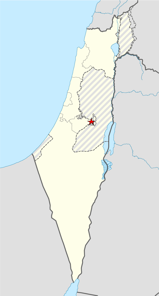
Download Free Vector Map Israel Jerusalem Location >>>>>
Jerusalem_Israel_location_map_with_stripes.ai
Geography
Jerusalem is situated on the southern spur of a plateau in the Judaean Mountains, which include the Mount of Olives (East) and Mount Scopus (North East). The elevation of the Old City is approximately 760 m (2,490 ft). The whole of Jerusalem is surrounded by valleys and dry riverbeds (wadis). The Kidron, Hinnom, and Tyropoeon Valleys intersect in an area just south of the Old City of Jerusalem. The Kidron Valley runs to the east of the Old City and separates the Mount of Olives from the city proper. Along the southern side of old Jerusalem is the Valley of Hinnom, a steep ravine associated in biblical eschatology with the concept of Gehenna or Hell. The Tyropoeon Valley commenced in the northwest near the Damascus Gate, ran south-southeasterly through the center of the Old City down to the Pool of Siloam, and divided the lower part into two hills, the Temple Mount to the east, and the rest of the city to the west (the lower and the upper cities described by Josephus). Today, this valley is hidden by debris that has accumulated over the centuries. In biblical times, Jerusalem was surrounded by forests of almond, olive and pine trees. Over centuries of warfare and neglect, these forests were destroyed. Farmers in the Jerusalem region thus built stone terraces along the slopes to hold back the soil, a feature still very much in evidence in the Jerusalem landscape.
Water supply has always been a major problem in Jerusalem, as attested to by the intricate network of ancient aqueducts, tunnels, pools and cisterns found in the city.
Jerusalem is 60 kilometers (37 mi) east of Tel Aviv and the Mediterranean Sea. On the opposite side of the city, approximately 35 kilometers (22 mi) away, is the Dead Sea, the lowest body of water on Earth. Neighboring cities and towns include Bethlehem and Beit Jala to the south, Abu Dis and Ma’ale Adumim to the east, Mevaseret Zion to the west, and Ramallah and Giv’at Ze’ev to the north.
Mount Herzl, at the western side of the city near the Jerusalem Forest, serves as the national cemetery of Israel.
https://en.wikipedia.org/wiki/Jerusalem
Free vector map World, Adobe Illustrator, download now maps vector clipart
Map for design, projects, presentation free to use as you like.
See also: TERMS & CONDITIONS: SOFTWARE LICENSE AGREEMENT FOR DIGITAL CARTOGRAPHIC DATA

 Author: Kirill Shrayber, Ph.D. FRGS
 editable Adobe Illustrator detailed City Plan 100 m scale Street Map")

 vector map Adobe Illustrator editable G-View Level 12 (5 km scale), full vector")
 vector map Adobe Illustrator editable G-View Level 17 (100 meters scale), full vector")