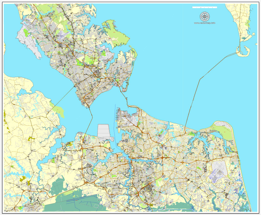
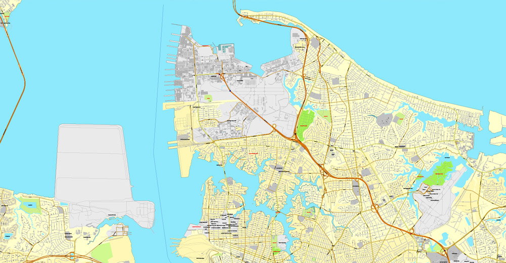
Hampton, Newport News, Norfolk, Chesapeake, Portsmouth, Virginia Beach, US, exact vector street City Plan map V2.09, full editable, Adobe PDF, full vector, scalable, editable text format street names, 80 mb ZIP
All streets, All buildings. Map for publishing, design, printing, publications, arts, projects, presentations, for architects, designers and builders, business, logistics. The most exact and detailed map of the city.
Different font colors of the street names (black); object names by type (brown, red).
You can edit this file by Adobe Illustrator, Adobe Acrobat, Corel Draw.
DXF, DWG, CDR and other formats – on request, same price, please, contact
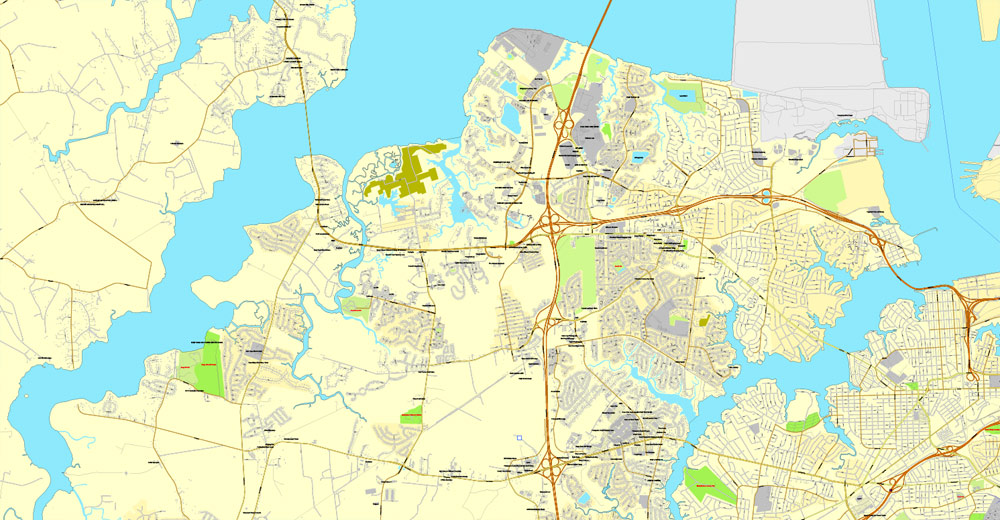
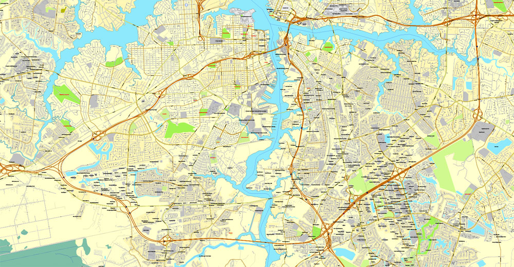
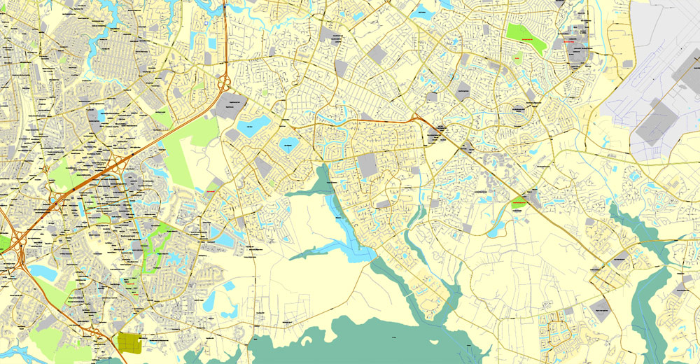
Hampton + Newport News + Norfolk + Chesapeake + Portsmouth + Virginia Beach, USA.
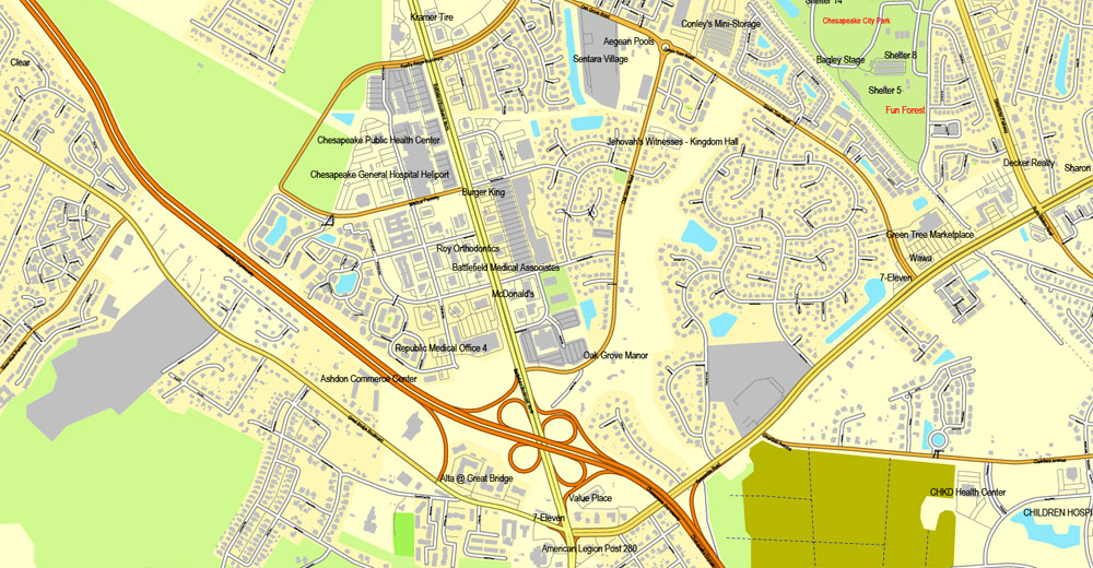
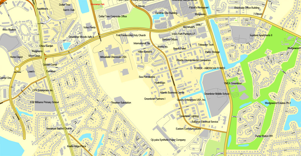
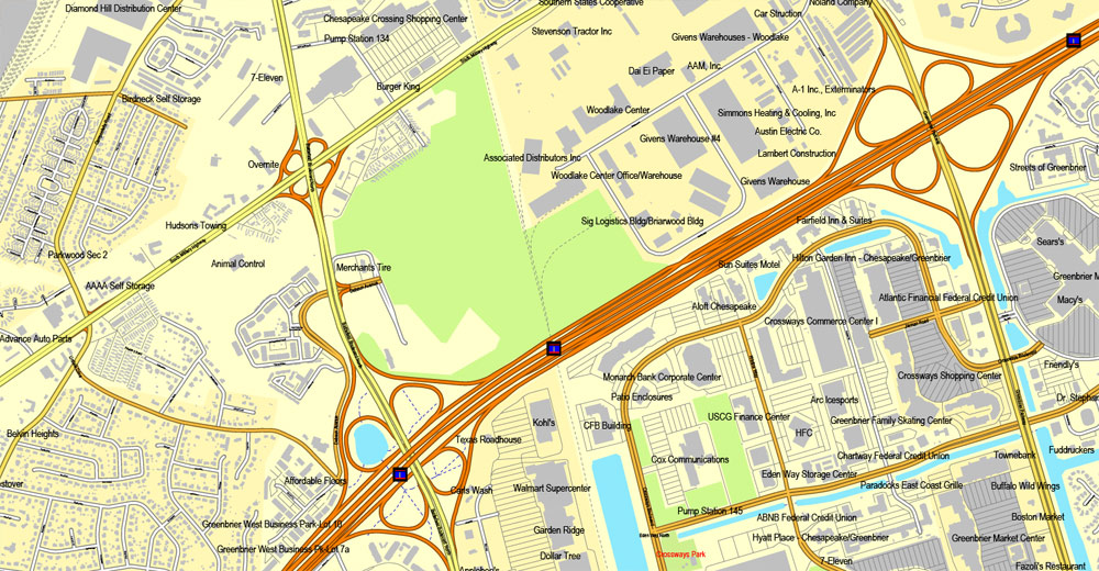
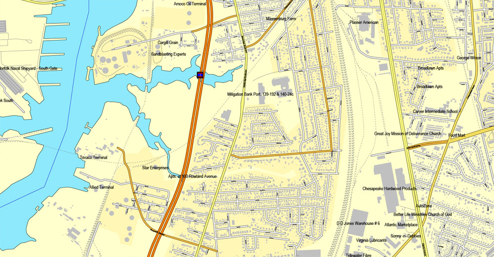
This vector map of Hampton is used as a basis for design, editing, and further printing.
This is the most detailed, exact map of Hampton for high-quality printing and polygraphy. You can always clarify the map development date by contacting us.
For your convenience, all objects on Hampton vector map are divided into layers. And the editing is very easy – colors, lines, etc.
You can easily add any objects needed (e.g. shops, salons, sale points, gas station or attraction) on any layer of Hampton vector map.
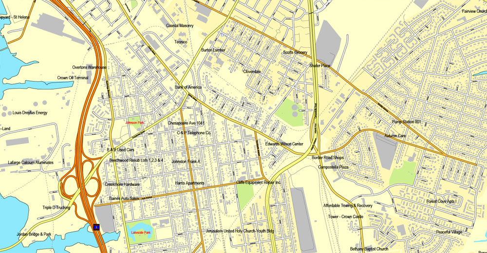
Hampton is an independent city in the Commonwealth of Virginia in the United States. As of the 2010 census, the population was 137,436.
As one of the seven major cities that compose the Hampton Roads metropolitan area, it is on the southeastern end of the Virginia Peninsula.
One of the advantages of Hampton vector maps of our production is the relevance of cartographic data, we constantly update all our products.
This vector map of Hampton is used by:
designers, layout designers, printers, advertisers and architects. Our product – vector maps – is designed for further editing and printing in large formats – from @Wall format (a few meters) to A-0 and A-1, A-2, A-3.
Hampton map in vector format is used for design, urban planning, presentations and media visualizations.
Advertising and presentation map of Hampton (usually the final designer marks the routes, and puts the client’s objects (shops, saloons, gas stations etc.)
The undoubted advantage is that people will NEVER throw out this advertising product – the map. In fact, as an advertising medium, a map is the most “long-playing” of the well-known polygraphic advertising media, with the longest lifespan, and the maximum number of interactions with the customer.
For travelers, maps are sold at the airports and gas stations around the world. Often the source is our vector maps.
Take a look, who purchases our vector maps of Hampton in “Our Clients and Friends” page – these are large and small companies, from super-brands like Volvo and Starbucks, to small design studios and printing houses.
It’s very easy to work with vector maps of Hampton, even for a not very experienced designer who can turn on and off the map layers, add new objects, change the colors of fill and lines according to customer requirements.
The undoubted advantage of Hampton vector maps in printing is an excellent and detailed visualization, when customer can expand a large paper map and instantly define his location, find a landmark, an object or address on map, unlike using the popular electronic formats of Google and Yandex maps for example.
Printable vector maps of Hampton are much more convenient and efficient than any electronic maps on your smartphone, because ALL DETAILS are displayed in the entire space of Hampton map.
Useful tips on working with vector maps of cities and countries in Adobe Illustrator.
«V» – launches the Selection tool (cursor, black arrow), which makes active any vector line.
«А» – launches the Direct Selection tool (white cursor), allows you to select curve elements and drag them to the desired place.
«R» – activates the Rotate tool, which helps you rotating selected objects around the center point by 360 degrees.
«E» – gives you the opportunity to use the Eraser tool and erase unnecessary parts.
«X» – switches between Fill and Stroke in the Tools section. Try to get used to this hot key and
you will quickly understand that you can’t live and work without it.
Guides are not limited to vertical and horizontal in Adobe Illustrator. You can also create a diagonal guide for example. Moreover, you can turn any contours into guides. Select the outline and go to View > Guides > Make Guides (Create Guides), or simply press Cmd/Ctrl + 5. You can also turn the guides back into an editable object. Go to menu, View > Guides > Unlock Guides (Release Guides), select the guide you want to edit and select View > Guides > Release Guides (Reset Guides), or just press Cmd/Ctrl + Option / Alt + 5).
You will probably want to change the color scheme used on our Hampton vector map.
To quickly and effectively play with colors.
Of course, you can do it manually, all objects in our Hampton vector map are divided according to types and layers, and you can easily change the color gamma of vector objects in groups and layers.
But there is more effective way of working with the whole VECTOR MAP of Hampton and all layers:
The overview dialog «Edit colors»/«Repaint Graphic Object» (this dialog box name can change depending on the context):
If you have selected a part or a layer of Hampton vector map and open the dialog box by clicking the icon in the Control panel, on the Samples palette or the Color Catalog, or if you choose Edit > Edit Colors> Repaint Graphic Object, then the «Repaint Graphic Object» dialog box appears, and you get access to «Assign» and «Edit» tabs.
If a picture or a map fragment is not selected, and you open the dialog box by clicking the icon in the Control panel, on the Samples palette or in the Color Catalog, the «Edit Colors» dialog box appears and you can only access the «Edit» tab.
Regardless of the name at the top of the dialog box, the right-hand side always displays the color group of the current document, as well as two default color groups: Print Color and Grayscale. These color groups can be selected and used any time.
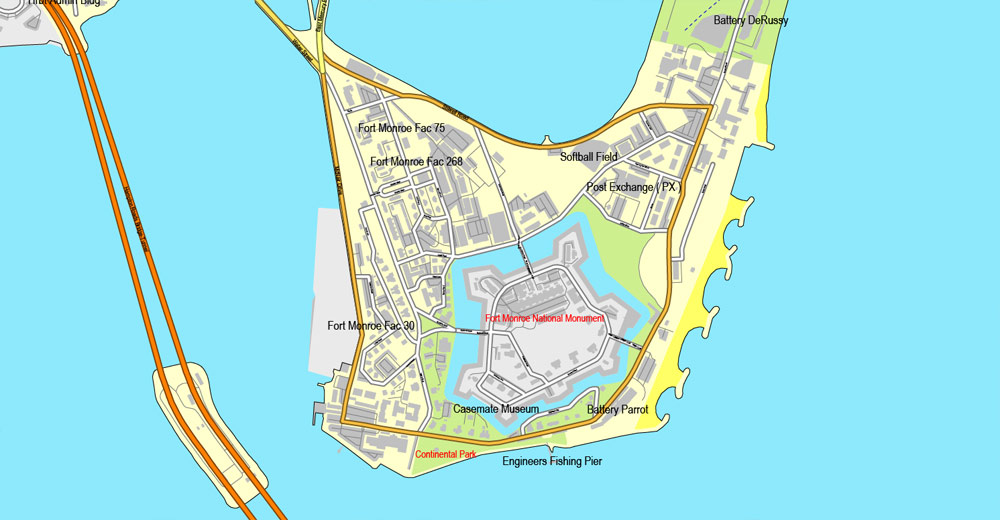
Hampton traces its history to the city’s Old Point Comfort, the home of Fort Monroe for almost 400 years, which was named by the 1607 voyagers, led by Captain Christopher Newport, who first established Jamestown as an English colonial settlement. Since consolidation in 1952, Hampton has included the former Elizabeth City County and the incorporated town of Phoebus, consolidating by mutual agreement.
After the end of the American Civil War, historic Hampton University was established opposite from the town on the Hampton River, providing an education for many newly-freed former slaves and for area Native Americans. In the 20th century, the area became the location of Langley Air Force Base, NASA Langley Research Center, and the Virginia Air and Space Center. Hampton features many miles of waterfront and beaches.

Create and edit color groups of Hampton vector map, and also assign colors using the «Edit Colors»/ а «Repaint Graphic Object» dialog box.
A. Creating and editing of a color group on the «Edit» tab
B. Assigning colors on the «Assign» tab
C. Select a group of colors from the «Color groups» list
The option «Repaint a graphic object» in the lower part of the dialog box allows you to preview the colors on a selected layer of Vector map, or a group of elements, and specify whether its colors will be redefined when the dialog box is closed.
The main areas of the dialog box are:
«Edit»
The «Edit» tab is designed to create a new or edit the existing color groups.
The harmony rules Menu and the Color Wheel are used to conduct experiments with color harmonies. The color wheel shows how colors are related in color harmony, and the color bars allow you to view and manipulate an individual color values. In addition, you can adjust the brightness, add and remove colors, save color groups and view colors on the selected Vector Map of Hampton or a separated layers.
«Assign»
The «Assign» tab is used to view and control on how the original colors are replaced with colors from the color group like your corporate colors in the Vector Map of Hampton.
The assign color ability is provided only if the entire map, layer or fragment is selected in the document. You can specify which of new colors replace the current colors, whether the spot colors should be preserved and how colors are replaced (for example, you can replace colors completely or changing the color tone while maintaining the brightness). The «Assign» tab allows you to redefine colors in the Vector Map of Hampton, or in separate layers and fragments using the current color group or reducing the number of colors in the current Vector Map.
Color groups
Is a list of all saved color groups for current document (the same groups appear in the «Samples» palette). You can edit and delete the existing color groups, as well as creating a new ones using the list of “Color Groups” in the dialog box. All changes appear in the «Samples» palette.
The highlighted color group shows, which color group is currently edited.
For residents and visitors alike, the city features a wide array of business and industrial enterprises, retail and residential areas, and historical sites. Most recently, the new Peninsula Town Center development opened in May 2010 on the site of the former Coliseum Mall. Located in the area adjacent to the Hampton Coliseum and the Convention Center, the new urbanism-type project features a wide mix of retail stores, housing and other attractions. Development of new residential development and additional public facilities (such as the new fishing pier recently opened) are underway at Buckroe Beach, long a noted resort area.
Located on the Hampton Roads Beltway, it hosts the Hampton Roads Bridge-Tunnel (HRBT) on Interstate 64. First opened in 1957, it was the world’s first bridge-tunnel, crossing the mouth of the Hampton Roads harbor, which serves as the gateway to the Chesapeake Bay and the Atlantic Ocean from the eastern United States’ largest ice-free harbor and its tributary rivers. Expanded in the 1970s, the HRBT remains Virginia’s busiest and deepest such facility.
Any color group can be selected and edited, or used to redefine the colors in the selected vector map of Hampton , its fragments or elements.
Saving a color group adds this group to the specified list.
Opening the «Edit Colors»/«Repaint Graphic Object» dialog box.
Open the «Edit Colors»/«Repaint Graphic Object» dialog box using one of the following methods:
«Edit»> «Edit Colors»> «Repaint Graphic object» or «Repaint With Style».
Use these commands if you need to edit the colors in the selected vector map of Hampton.
«Repaint Graphic object» button on the «Control» panel.
Use this button if you need to adjust colors of Hampton vector map using the а «Repaint graphic object» dialog box.
The specified button is available if the selected vector map or its fragment contains two or more colors.

Note. This color editing method is convenient for global color adjustment in a vector map, if global colors were not used when creating a Map of Hampton.
The «Edit colors» button or «Edit or apply colors» on the «Color Catalog» palette
Click this button if you need to edit colors on the «Color Catalog» palette or edit and then apply them to the selected Vector Map of Hampton or its fragment.
The «Edit color group» button or «Edit or apply color group» on the «Samples» palette.
Click this button if you need to edit the colors in the specific color group or edit and apply them to the selected Vector Map of Hampton or a group of its elements, for example, the whole layer “Streets and lines”. You can also double-click the color group in the Samples panel to open the dialog box.
If the map file is too large and your computer freezes or even can’t open it quickly:
1. Try to reduce the color resolution of the video card (display) to 256 colors while working with a large map.
2. Using Windows Task Manager, select all the application you don’t need, while working with map, just turn them off.
3. Launch Adobe Illustrator. (DO NOT OPEN the vector map file)
4. Start the Windows Task Manager using administrator rights > Find the “Illustrator” process > set the «real time» priority,
5. Open the file. When you see the LEGACY FONT popup window – click “OK” (do not update). You can restore the TEXT later.
6. Can also be useful: When file is opened – Edit > Settings > Basic Settings > disable smoothing. /// It looks scary, but works quickly)))
We recommend saving the file in Adobe Illustrator 10 version. It’s much more stable when working with VERY BIG size files.
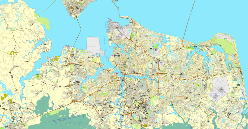
Newport News is an independent city in the U.S. state of Virginia. As of the 2010 census, the population was 180,719. In 2013, the population was estimated to be 183,412, making it the fifth-most populous city in Virginia.
Newport News is included in the Hampton Roads metropolitan area. It is at the southeastern end of the Virginia Peninsula, on the northern shore of the James River extending southeast from Skiffe’s Creek along many miles of waterfront to the river’s mouth at Newport News Point on the harbor of Hampton Roads. The area now known as Newport News was once a part of Warwick County. Warwick County was one of the eight original shires of Virginia, formed by the House of Burgesses in the British Colony of Virginia by order of King Charles I, in 1634. The county was largely composed of farms and undeveloped land until almost 250 years later.
In 1881, 15 years of explosive development began under the leadership of Collis P. Huntington, whose new Peninsula Extension of the Chesapeake and Ohio Railway from Richmond opened up transportation along the Peninsula and provided a new pathway for the railroad to bring West Virginia bituminous coal to port for coastal shipping and worldwide export. With the new railroad came a terminal and coal piers where the colliers were loaded. Within a few years, Huntington and his associates also built a large shipyard. In 1896, the new incorporated town of Newport News, which had briefly replaced Denbigh as the county seat of Warwick County, had a population of 9,000. In 1958, by mutual consent by referendum, Newport News was consolidated with the former Warwick County (itself a separate city from 1952 to 1958), rejoining the two localities to approximately their pre-1896 geographic size. The more widely known name of Newport News was selected as they formed what was then Virginia’s third largest independent city in population.
With many residents employed at the expansive Newport News Shipbuilding, the joint U.S. Air Force-U.S. Army installation at Joint Base Langley–Eustis, and other military bases and suppliers, the city’s economy is very connected to the military. The location on the harbor and along the James River facilitates a large boating industry which can take advantage of its many miles of waterfront. Newport News also serves as a junction between the rails and the sea with the Newport News Marine Terminals located at the East End of the city. Served by major east-west Interstate Highway 64, it is linked to others of the cities of Hampton Roads by the circumferential Hampton Roads Beltway, which crosses the harbor on two bridge-tunnels. Part of the Newport News/Williamsburg International Airport is in the city limits.
Newport News is located at 37°4′15″N 76°29′4″W (37.071046, −76.484557). According to the United States Census Bureau, the city has a total area of 120 square miles (310 km2), of which 69 square miles (180 km2) is land and 51 square miles (130 km2) (42.4%) is water.
The city is located at the Peninsula side of Hampton Roads in the Tidewater region of Virginia, bordering the Atlantic Ocean. The Hampton Roads Metropolitan Statistical Area (officially known as the Virginia Beach-Norfolk-Newport News, VA-NC MSA) is the 37th largest in the nation with a 2014 population estimate of 1,716,624. The area includes the Virginia cities of Norfolk, Virginia Beach, Chesapeake, Hampton, Newport News, Poquoson, Portsmouth, Suffolk, Williamsburg, and the counties of Gloucester, Isle of Wight, James City, Mathews, Surry, and York, as well as the North Carolina counties of Currituck and Gates. Newport News serves as one of the business centers on the Peninsula. The city of Norfolk is recognized as the central business district, while the Virginia Beach oceanside resort district and Williamsburg are primarily centers of tourism.
Newport News shares land borders with James City County on the northwest, York County on the north and northeast, and Hampton on the east. Newport News shares water borders with Portsmouth on the southeast and Suffolk on the south across Hampton Roads, and Isle of Wight County on the southwest and west and Surry County on the northwest across the James River.
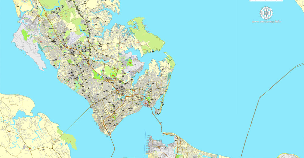
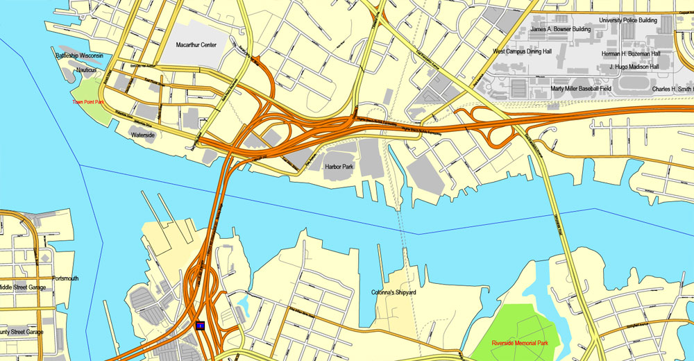
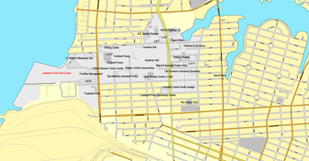
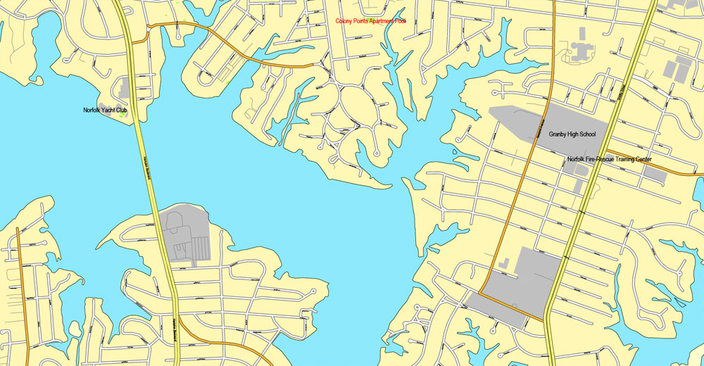
Norfolk is an independent city in the Commonwealth of Virginia in the United States. At the 2010 census, the population was 242,803; in 2017, the population was estimated to be 244,703 making it the second-most populous city in Virginia after neighboring Virginia Beach.
Norfolk is located at the core of the Hampton Roads metropolitan area, named for the large natural harbor of the same name located at the mouth of Chesapeake Bay. It is one of nine cities and seven counties that constitute the Hampton Roads metro area, officially known as the Virginia Beach-Norfolk-Newport News, VA-NC MSA. The city is bordered to the west by the Elizabeth River and to the north by the Chesapeake Bay. It also shares land borders with the independent cities of Chesapeake to its south and Virginia Beach to its east. Norfolk is one of the oldest cities in Hampton Roads, and is considered to be the historic, urban, financial, and cultural center of the region.
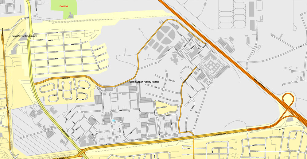
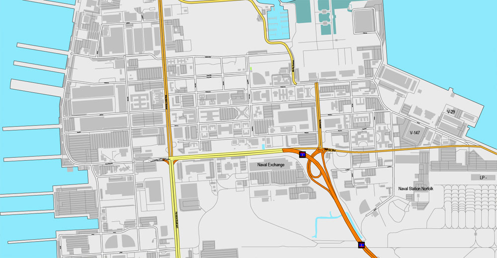
The city has a long history as a strategic military and transportation point. The largest Navy base in the world, Naval Station Norfolk, is located in Norfolk along with one of NATO’s two Strategic Command headquarters. The city also has the corporate headquarters of Norfolk Southern Railway, one of North America’s principal Class I railroads, and Maersk Line, Limited, which manages the world’s largest fleet of US-flag vessels. As the city is bordered by multiple bodies of water, Norfolk has many miles of riverfront and bayfront property, including beaches on the Chesapeake Bay. It is linked to its neighbors by an extensive network of Interstate highways, bridges, tunnels, and three bridge-tunnel complexes, which are the only bridge-tunnels in the United States.
Chesapeake is an independent city in the Commonwealth of Virginia. As of the 2010 census, the population was 222,209; in 2013, the population was estimated to be 232,977, making it the third-most populous city in Virginia.
Chesapeake is included in the Virginia Beach–Norfolk–Newport News, VA–NC MSA. One of the cities in the South Hampton Roads, Chesapeake was organized in 1963 by voter referendums approving the political consolidation of the city of South Norfolk with the remnants of the former Norfolk County, which dated to 1691. (Much of the territory of the county had been annexed by other cities.) Chesapeake is the second-largest city by land area in the Commonwealth of Virginia, and the 17th-largest in the United States.
Chesapeake is a diverse city in which a few urban areas are located; it also has many square miles of protected farmland, forests, and wetlands, including a substantial portion of the Great Dismal Swamp National Wildlife Refuge. Extending from the rural border with North Carolina to the harbor area of Hampton Roads adjacent to the cities of Norfolk, Portsmouth, Suffolk, and Virginia Beach, Chesapeake is located on the Atlantic Intracoastal Waterway. It has miles of waterfront industrial, commercial and residential property.
In 2011, Chesapeake was named the 21st best city in the United States by Bloomberg Businessweek. Chesapeake is home to the international Headquarters for Dollar Tree.
Portsmouth is an independent city in the Commonwealth of Virginia. As of the 2010 census, the population was 95,535. It is part of the Hampton Roads metropolitan area.
The Norfolk Naval Shipyard, often called the Norfolk Navy Yard, is a historic and active U.S. Navy facility that is actually located in Portsmouth rather than Norfolk; the original name “Gosport” was changed to “Norfolk” to reflect its location in what is now the former Norfolk County, Virginia. The shipyard upgrades, remodels, and repairs ships of the US Navy and is one of the few facilities in the world with the capability to dry dock an aircraft carrier.
Directly opposite Norfolk, the city of Portsmouth also has miles of waterfront land on the Elizabeth River as part of the harbor of Hampton Roads. There is a ferry boat that takes riders back and forth across the water between Downtown Norfolk and Olde Towne Portsmouth.
Virginia Beach is an independent city located on the southeastern coast of the Commonwealth of Virginia in the United States. As of the 2010 census, the population was 437,994. In 2015, the population was estimated to be 452,745. In 2017 estimated population was 450,435. Although mostly suburban in character, it is the most populous city in Virginia and the 41st most populous city in the nation. Located on the Atlantic Ocean at the mouth of the Chesapeake Bay, Virginia Beach is included in the Hampton Roads metropolitan area. This area, known as “America’s First Region”, also includes the independent cities of Chesapeake, Hampton, Newport News, Norfolk, Portsmouth, and Suffolk, as well as other smaller cities, counties, and towns of Hampton Roads.
Virginia Beach is a resort city with miles of beaches and hundreds of hotels, motels, and restaurants along its oceanfront. Every year the city hosts the East Coast Surfing Championships as well as the North American Sand Soccer Championship, a beach soccer tournament. It is also home to several state parks, several long-protected beach areas, three military bases, a number of large corporations, Regent University, International headquarters and site of the television broadcast studios for Pat Robertson’s Christian Broadcasting Network (CBN), Edgar Cayce’s Association for Research and Enlightenment, and numerous historic sites. Near the point where the Chesapeake Bay and the Atlantic Ocean meet, Cape Henry was the site of the first landing of the English colonists, who eventually settled in Jamestown, on April 26, 1607.
The city is listed in the Guinness Book of Records as having the longest pleasure beach in the world. It is located at the southern end of the Chesapeake Bay Bridge-Tunnel, the longest bridge-tunnel complex in the world.
Free vector maps:

Free download Vector Map US Interstate roads, Adobe PDF, V.2 Free_Map_US_Interstates_Roads_2.pdf
Free download Vector Map US Interstate roads, Adobe Illustrator, V.2 Free_Map_US_Interstates_Roads_2.ai

Free Download Vector Map US County and State Adobe Illustrator
Free_Vector_Map_US_States_County_Map.ai
Free Download Vector Map US County and State Adobe PDF
Free_Vector_Map_US_States_County_Map.pdf

Free Vector Map US Census Data Top US Ancestries by County Adobe Illustrator
Free_Vector_Map_US_Census-Data-Top-US-Ancestries-by-County.ai
Free Vector Map US Census Data Top US Ancestries by County Adobe PDF
Free_Vector_Map_US_Census-Data-Top-US-Ancestries-by-County.pdf

 Author: Kirill Shrayber, Ph.D. FRGS
 City Plan editable Adobe Illustrator Street Map in layers")
