Oulu PDF Map Vector Finland Low detailed City Plan editable Layered Adobe PDF Street Map

$ 31
  • Instant download after payment
  • Commercial use license included (full)
  • Operated by SolCity Nav LLC (DE, USA)

You can use this map in commercial projects, prints, media, and client work.

SKU: 2018.26.09.OL.FI.GVL13B.PDF

Printable PDF Vector Map Oulu Finland, exact Low detailed City Plan, Scale 1:31756, editable Layered Adobe PDF Street Map, 24 Mb ZIP.
Main streets names, Buildings. Map for publishing, design, printing, publications, arts, projects, presentations, for architects, designers and builders, business, logistics. The most exact and detailed map of the city.
Layers: legend, grids, labels_roads, names_places, names_streets,  buildings, streets_roads, color_fills, etc.
Text format all names, for High Quality Printing

We accept all  Debit or Credit Cards,
PayPal.  Instantly Download Your Map after payment. Verified Seller 15+ years.
  1. Home
  2. Europe maps
  3. Finland cities and country vector maps: PDF and Adobe Illustrator
  4. Oulu PDF Map Vector Finland Low detailed City Plan editable Layered Adobe PDF Street Map

Map Data Specification

  • Data type: Vector cartographic dataset

  • Geometry: Polylines and polygons

  • Coordinate system: WGS84 geographic coordinates

  • Editing compatibility: Adobe Illustrator, vector graphic editors

  • Layer structure includes:

    • Road network (classified)

    • Hydrography (rivers, lakes, coastline)

    • Administrative boundaries

    • Landmass / coastline polygons

    • Optional relief or terrain lines (if included)

Cartographic Production Method

Vector Map Production Process

  1. Source Data Acquisition
    Open geographic datasets are collected and validated.

  2. Topology Cleaning
    Broken geometries, overlaps, and gaps are corrected.

  3. Layer Classification
    Roads, hydrography, boundaries, landmasses are separated into structured layers.

  4. Projection Handling
    Data is prepared in geographic coordinates suitable for design software.

  5. Cartographic Generalization
    Excess detail is reduced to improve readability at print scale.

  6. Manual Editing in Illustrator
    Final map is optimized for graphic design workflows.

Learn about the cartographic production process → Cartographic Technology

Extended Description of the Vector Map

Printable PDF Vector Map Oulu Finland, exact Low detailed City Plan, Scale 1:31756, editable Layered Adobe PDF Street Map, 24 Mb ZIP.
Main streets names, Buildings. Map for publishing, design, printing, publications, arts, projects, presentations, for architects, designers and builders, business, logistics. The most exact and detailed map of the city.
Layers: legend, grids, labels_roads, names_places, names_streets,  buildings, streets_roads, color_fills, etc.
Text format all names, for High Quality Printing
DWG, DXF, CDR, ESRI Shapes, and other formats – by request, same price, please contact. 

Oulu
City in Finland
Oulu is a city in central Finland, where the Oulujoki River meets the Bay of Bothnia. Its waterfront square, Kauppatori, is home to food stalls and the Toripolliisi, a squat policeman statue. The Tietomaa Science Centre offers interactive exhibits and a large cinema screen for 3D films. Nearby, the Oulu Museum Of Art showcases regional works. The Northern Ostrobothnia Museum chronicles the city’s cultural history.

Area
• City 3,817.52 km2 (1,473.95 sq mi)
• Land 1,410.17 km2 (544.47 sq mi)
• Water 103.2 km2 (39.8 sq mi)
• Urban 187.1 km2 (72.2 sq mi)
Area rank 17th largest in Finland
Population
• City 201,124
• Rank 5th largest in Finland
• Density 142.62/km2 (369.4/sq mi)
• Urban 200,071[2] • Urban density 915.8/km2 (2,372/sq mi)
Population by native language
• Finnish 97.3% (official)
• Swedish 0.2%
• Others 2.4%
Population by age
• 0 to 14 17%
• 15 to 64 70.5%
• 65 or older 12.5%

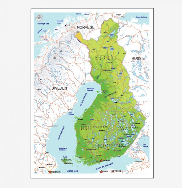
See Also:  Full Vector Map Finland

Full Map Finland

Free vector maps:

europe_blank_laea_location_map_all
Free download printable map Europe vector Adobe Illustrator >>>

Free download printable PDF map Europe vector Adobe PDF >>>  


Summary
product image
Author Rating
1star1star1star1star1star
Aggregate Rating
no rating based on 0 votes
Brand Name
@vectormapper
Product Name
Oulu PDF Map Vector Finland Low detailed City Plan editable Layered Adobe PDF Street Map
Price
USD 23
Product Availability
Available in Stock
WhatsApp us! If you have any questions, please, feel free to contact us via WhatsApp +1.809.8462286
We reply within a 2 hours (UTC-4)
AutoCAD Map Oulu Finland, City Map Oulu Finland, City Plan Oulu Finland, CorelDraw Map Oulu Finland, DWG Map Oulu Finland, DXF Map Oulu Finland, Editable Map Oulu Finland, Illustrator Map Oulu Finland, Map Oulu Finland for Printing: PDF and Adobe Illustrator, Oulu Finland City Vector Map, Oulu Finland Map, PDF Map Oulu Finland, printable map Oulu Finland, Road Map Oulu Finland, Street Map Oulu Finland, Tourist Map Oulu Finland, Urban Plan Oulu Finland, Vector Map Oulu Finland
Europe maps, Finland cities and country vector maps: PDF and Adobe Illustrator
Author: Kirill Shrayber, Ph.D. FRGS

I have been working with vector cartography for over 25 years, including GPS, GIS, Adobe Illustrator and other professional cartographic software.
Linkedin: https://www.linkedin.com/in/kirill-shrayber-0b839325/
Twitter: https://twitter.com/vectormapper
Wikipedia: https://meta.wikimedia.org/wiki/User:Vectormapper

See more maps of this city / area / state / country

Menu
NEED HELP? WE ARE ONLINE