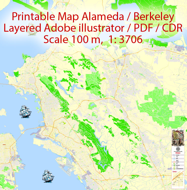
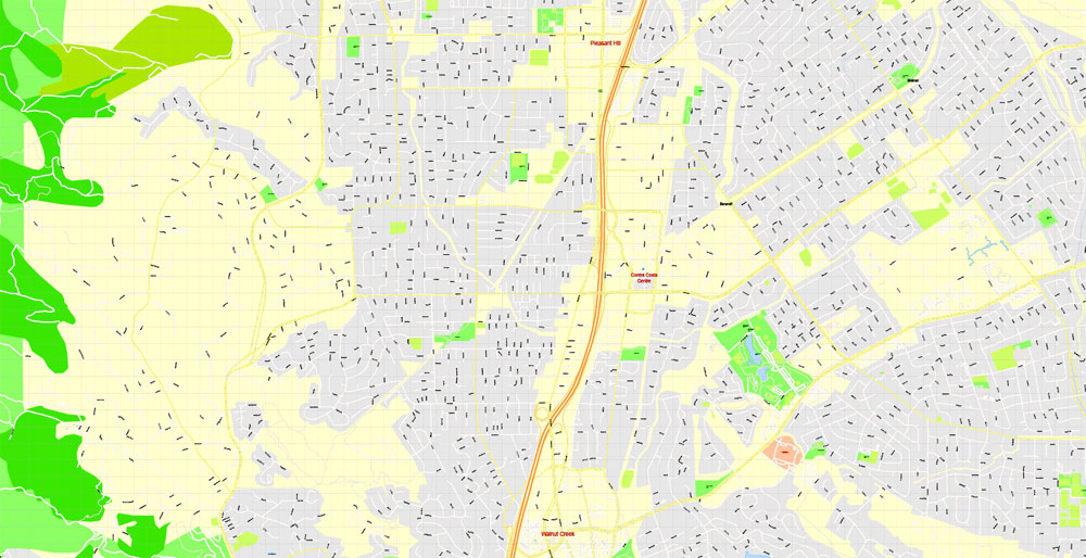
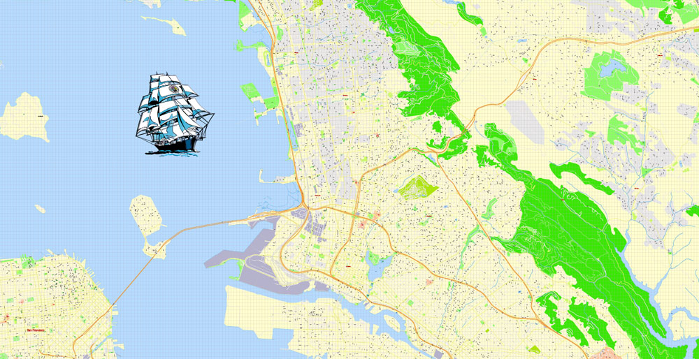
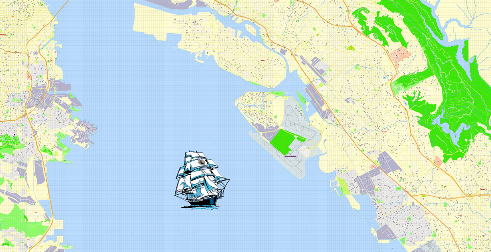
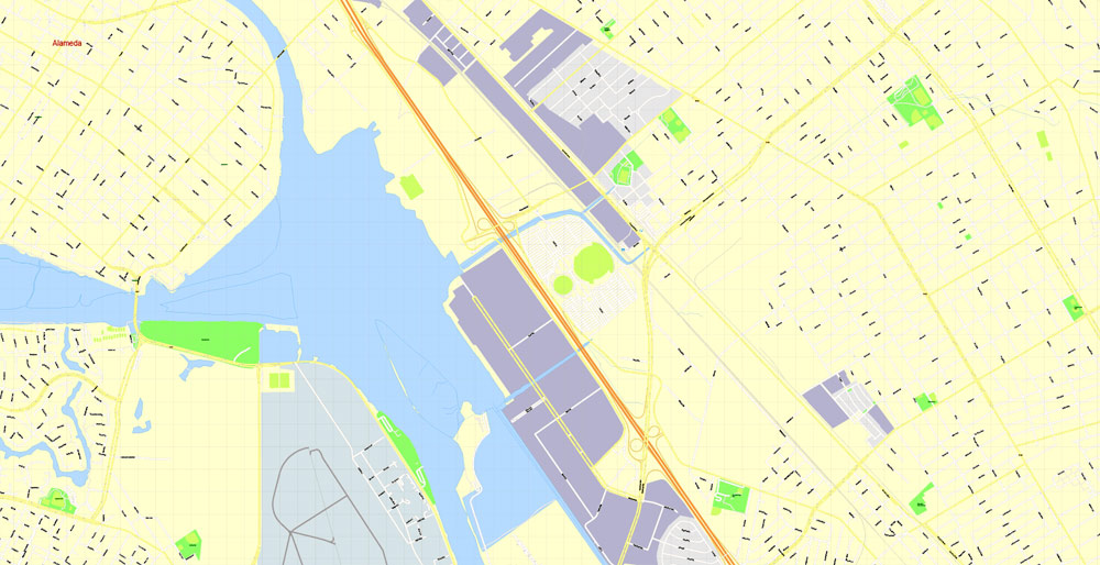
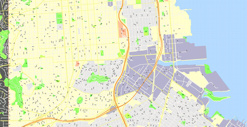
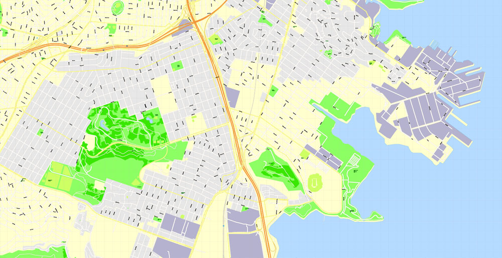
Printable Map Oakland + Berkeley + Richmond + Alameda + San Leandro + Albany, California US, exact vector City Plan scale 1:3706, full editable, CorelDraw, full vector, scalable, editable text format street names, 36 mb ZIP
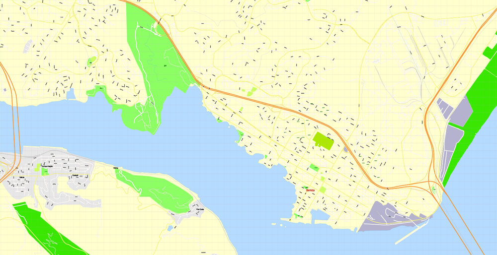
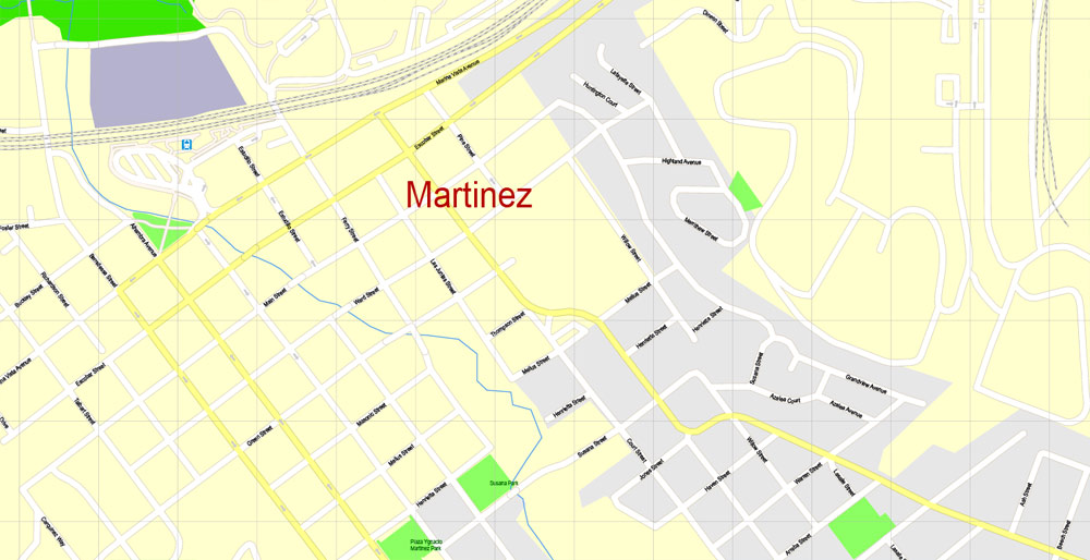
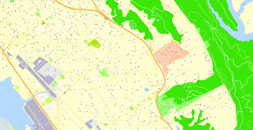
All streets named, Main Objects, no buildings. Map for design, printing, arts, projects, presentations, for architects, designers and builders, business, logistics.
Layers: color fills, streets_roads, arrows_streets, labels_roads, objects, names_objects, names_streets, names_places, grids, legend.
The most exact and detailed map of the city.
DWG, DXF, EPS and other formats – on request, same price, please, contact
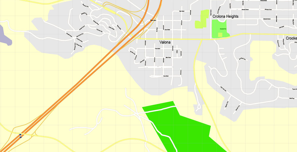
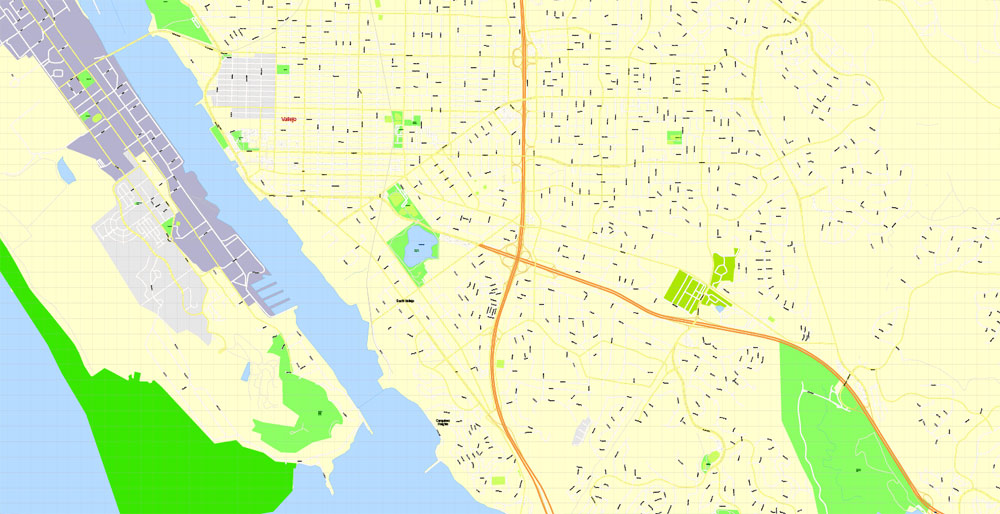
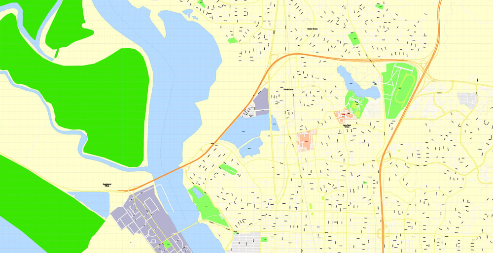
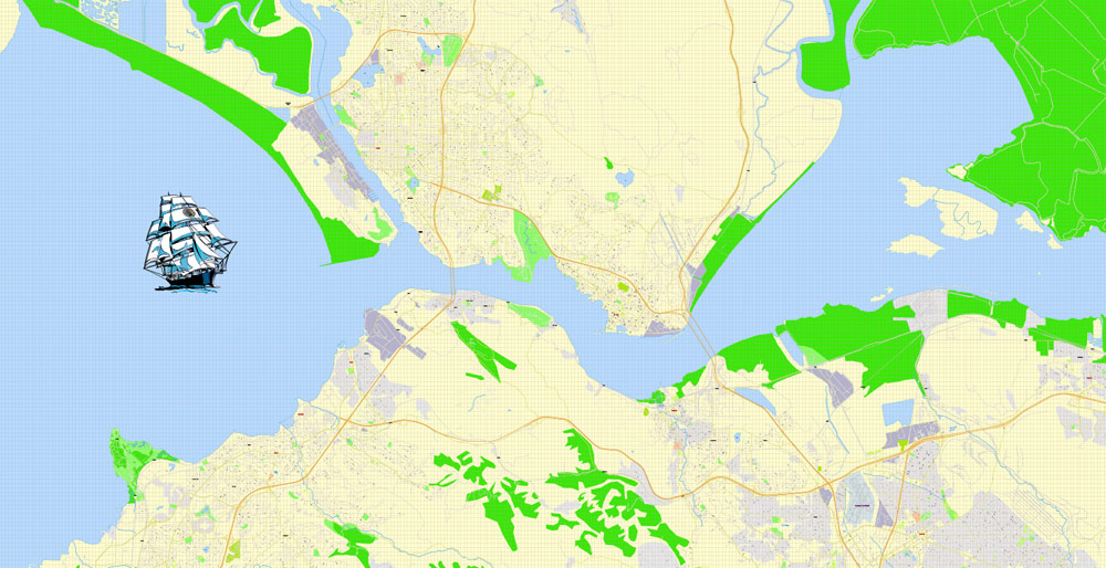
Oakland + Berkeley + Richmond + Alameda + San Leandro + Albany, California USA.
This vector map of Oakland city is used as a basis for design, editing, and further printing.
This is the most detailed, exact map of Oakland city for high-quality printing and polygraphy. You can always clarify the map development date by contacting us.
For your convenience, all objects on Oakland vector city map are divided into layers. And the editing is very easy – colors, lines, etc.
You can easily add any objects needed (e.g. shops, salons, sale points, gas station or attraction) on any layer of Oakland vector map.
Oakland is the largest city and the county seat of Alameda County, California, United States. A major West Coast port city, Oakland is the largest city in the East Bay region of the San Francisco Bay Area, the third largest city overall in the San Francisco Bay Area, the eighth most populated city in California, and the 45th largest city in the United States.
One of the advantages of Oakland city vector maps of our production is the relevance of cartographic data, we constantly update all our products.
This vector map of Oakland city is used by:
designers, layout designers, printers, advertisers and architects. Our product – vector maps – is designed for further editing and printing in large formats – from @Wall format (a few meters) to A-0 and A-1, A-2, A-3.
The Oakland city map in vector format is used for design, urban planning, presentations and media visualizations.
The advertising and presentation map of Oakland city (usually the final designer marks the routes, and puts the client’s objects (shops, saloons, gas stations etc.)
The undoubted advantage is that people will NEVER throw out this advertising product – the map. In fact, as an advertising medium, a city map is the most “long-playing” of the well-known polygraphic advertising media, with the longest lifespan, and the maximum number of interactions with the customer.
For travelers, maps are sold at the airports and gas stations around the world. Often the source is our vector maps.
Take a look, who purchases our vector maps of Oakland city in “Our Clients and Friends” page – these are large and small companies, from super-brands like Volvo and Starbucks, to small design studios and printing houses.
With a population of 412,040 as of 2016, it serves as a trade center for the San Francisco Bay Area; its Port of Oakland is the busiest port in the San Francisco Bay, the entirety of Northern California, and the fifth busiest in the United States of America. An act to incorporate the city was passed on May 4, 1852, and incorporation was later approved on March 25, 1854, which officially made Oakland a city. Oakland is a charter city.
It’s very easy to work with vector maps of Oakland city, even for a not very experienced designer who can turn on and off the map layers, add new objects, change the colors of fill and lines according to customer requirements.
The undoubted advantage of Oakland city vector maps in printing is an excellent and detailed visualization, when customer can expand a large paper map and instantly define his location, find a landmark, an object or address on map, unlike using the popular electronic formats of Google and Yandex maps for example.
Printable vector maps of Oakland city are much more convenient and efficient than any electronic maps on your smartphone, because ALL DETAILS are displayed in the entire space of Oakland city map.
Useful tips on working with vector maps of cities and countries in Adobe Illustrator.
«V» – launches the Selection tool (cursor, black arrow), which makes active any vector line.
«А» – launches the Direct Selection tool (white cursor), allows you to select curve elements and drag them to the desired place.
«R» – activates the Rotate tool, which helps you rotating selected objects around the center point by 360 degrees.
«E» – gives you the opportunity to use the Eraser tool and erase unnecessary parts.
«X» – switches between Fill and Stroke in the Tools section. Try to get used to this hot key and
you will quickly understand that you can’t live and work without it.
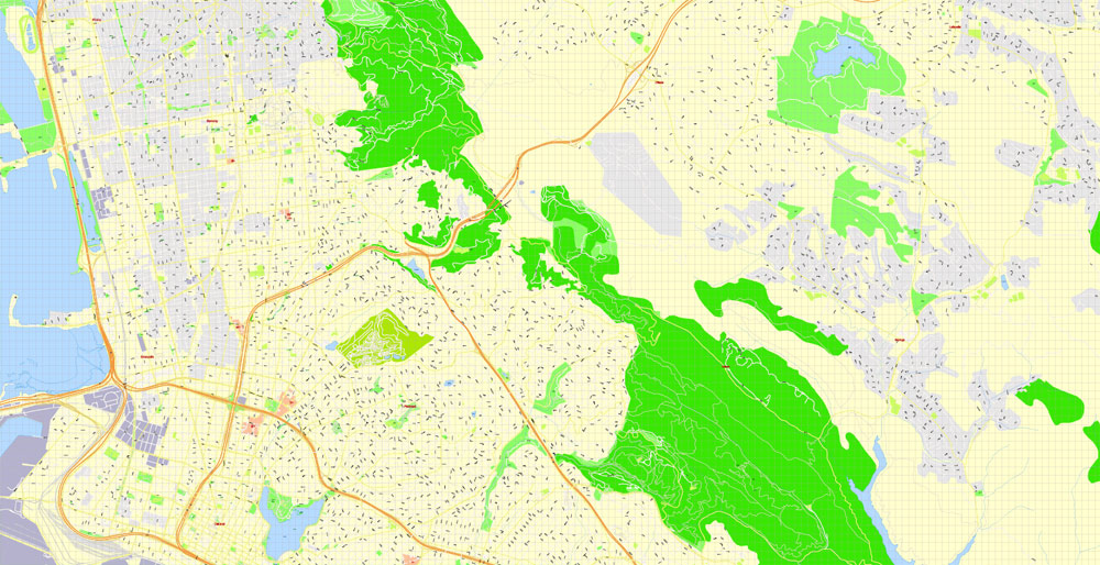
Oakland’s territory covers what was once a mosaic of California coastal terrace prairie, oak woodland, and north coastal scrub. Its land served as a rich resource when its hillside oak and redwood timber were logged to build San Francisco. Oakland’s fertile flatland soils helped it become a prolific agricultural region.
Guides are not limited to vertical and horizontal in Adobe Illustrator. You can also create a diagonal guide for example. Moreover, you can turn any contours into guides. Select the outline and go to View > Guides > Make Guides (Create Guides), or simply press Cmd/Ctrl + 5. You can also turn the guides back into an editable object. Go to menu, View > Guides > Unlock Guides (Release Guides), select the guide you want to edit and select View > Guides > Release Guides (Reset Guides), or just press Cmd/Ctrl + Option / Alt + 5).
You will probably want to change the color scheme used on our Oakland vector city map.
To quickly and effectively play with colors.
Of course, you can do it manually, all objects in our Oakland city vector map are divided according to types and layers, and you can easily change the color gamma of vector objects in groups and layers.
But there is more effective way of working with the whole VECTOR MAP of Oakland city and all layers:
The overview dialog «Edit colors»/«Repaint Graphic Object» (this dialog box name can change depending on the context):
If you have selected a part or a layer of Oakland city vector map and open the dialog box by clicking the icon in the Control panel, on the Samples palette or the Color Catalog, or if you choose Edit > Edit Colors> Repaint Graphic Object, then the «Repaint Graphic Object» dialog box appears, and you get access to «Assign» and «Edit» tabs.
In the late 1860s, Oakland was selected as the western terminal of the Transcontinental Railroad. Following the 1906 San Francisco earthquake, many San Francisco citizens moved to Oakland, enlarging the city’s population, increasing its housing stock and improving its infrastructure. It continued to grow in the 20th century with its busy port, shipyards, and a thriving automobile manufacturing industry.
Geography
Oakland is in the eastern region of the San Francisco Bay. In 1991 the City Hall tower was at 37.805302°N 122.272539°W (NAD83). (The building still exists, but like the rest of the Bay Area, it has shifted northwest perhaps 0.6 meters in the last twenty years.)
If a picture or a map fragment is not selected, and you open the dialog box by clicking the icon in the Control panel, on the Samples palette or in the Color Catalog, the «Edit Colors» dialog box appears and you can only access the «Edit» tab.
Regardless of the name at the top of the dialog box, the right-hand side always displays the color group of the current document, as well as two default color groups: Print Color and Grayscale. These color groups can be selected and used any time.
Create and edit color groups of Oakland city vector map, and also assign colors using the «Edit Colors»/ а «Repaint Graphic Object» dialog box.
A. Creating and editing of a color group on the «Edit» tab
B. Assigning colors on the «Assign» tab
C. Select a group of colors from the «Color groups» list
The option «Repaint a graphic object» in the lower part of the dialog box allows you to preview the colors on a selected layer of Vector map, or a group of elements, and specify whether its colors will be redefined when the dialog box is closed.
The main areas of the dialog box are:
«Edit»
The «Edit» tab is designed to create a new or edit the existing color groups.
The harmony rules Menu and the Color Wheel are used to conduct experiments with color harmonies. The color wheel shows how colors are related in color harmony, and the color bars allow you to view and manipulate an individual color values. In addition, you can adjust the brightness, add and remove colors, save color groups and view colors on the selected Vector Map of Oakland city or a separated layers.
«Assign»
The «Assign» tab is used to view and control on how the original colors are replaced with colors from the color group like your corporate colors in the Vector Map of Oakland city.
The assign color ability is provided only if the entire map, layer or fragment is selected in the document. You can specify which of new colors replace the current colors, whether the spot colors should be preserved and how colors are replaced (for example, you can replace colors completely or changing the color tone while maintaining the brightness). The «Assign» tab allows you to redefine colors in the Vector Map of Oakland city, or in separate layers and fragments using the current color group or reducing the number of colors in the current Vector Map.
Color groups
Is a list of all saved color groups for current document (the same groups appear in the «Samples» palette). You can edit and delete the existing color groups, as well as creating a new ones using the list of “Color Groups” in the dialog box. All changes appear in the «Samples» palette.
The highlighted color group shows, which color group is currently edited.
Any color group can be selected and edited, or used to redefine the colors in the selected vector map of Oakland city, its fragments or elements.
Saving a color group adds this group to the specified list.
Opening the «Edit Colors»/«Repaint Graphic Object» dialog box.
Open the «Edit Colors»/«Repaint Graphic Object» dialog box using one of the following methods:
«Edit»> «Edit Colors»> «Repaint Graphic object» or «Repaint With Style».
Use these commands if you need to edit the colors in the selected vector map of Oakland city.
«Repaint Graphic object» button on the «Control» panel.
Use this button if you need to adjust colors of Oakland city vector map using the а «Repaint graphic object» dialog box.
The specified button is available if the selected vector map or its fragment contains two or more colors.
Note. This color editing method is convenient for global color adjustment in a vector map, if global colors were not used when creating a City Map of Oakland.
The «Edit colors» button or «Edit or apply colors» on the «Color Catalog» palette
Click this button if you need to edit colors on the «Color Catalog» palette or edit and then apply them to the selected Vector Map of Oakland city or its fragment.
The «Edit color group» button or «Edit or apply color group» on the «Samples» palette.
Click this button if you need to edit the colors in the specific color group or edit and apply them to the selected Vector Map of Oakland city or a group of its elements, for example, the whole layer “Streets and lines”. You can also double-click the color group in the Samples panel to open the dialog box.
If the map file is too large and your computer freezes or even can’t open it quickly:
1. Try to reduce the color resolution of the video card (display) to 256 colors while working with a large map.
2. Using Windows Task Manager, select all the application you don’t need, while working with map, just turn them off.
3. Launch Adobe Illustrator. (DO NOT OPEN the vector map file)
4. Start the Windows Task Manager using administrator rights > Find the “Illustrator” process > set the «real time» priority,
5. Open the file. When you see the LEGACY FONT popup window – click “OK” (do not update). You can restore the TEXT later.
6. Can also be useful: When file is opened – Edit > Settings > Basic Settings > disable smoothing. /// It looks scary, but works quickly)))
We recommend saving the file in Adobe Illustrator 10 version. It’s much more stable when working with VERY BIG size files.
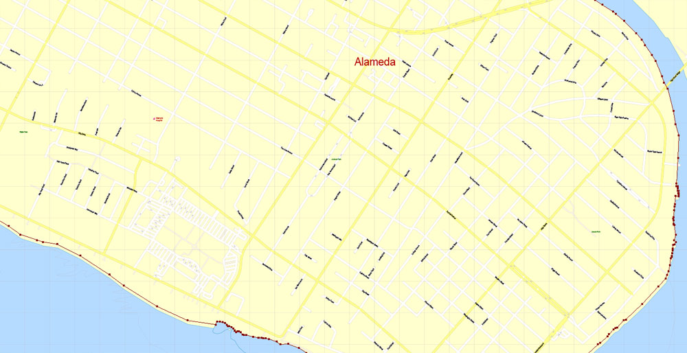
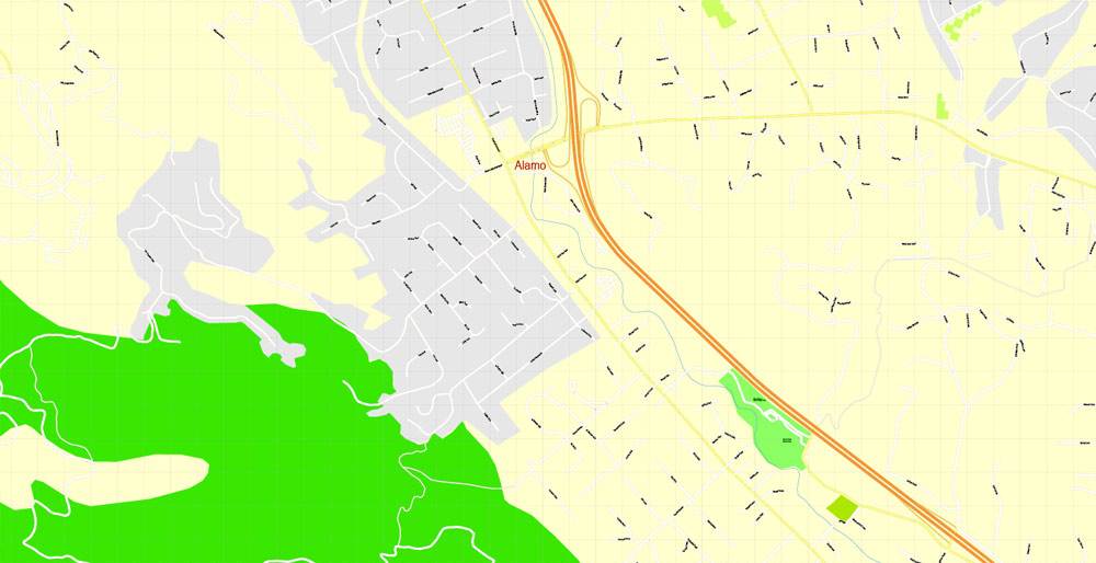
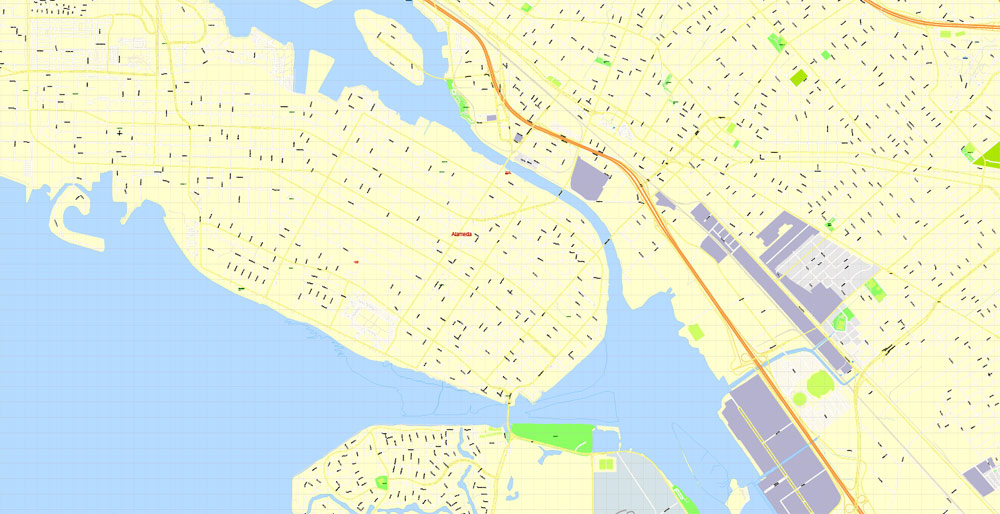
Alameda is a city in Alameda County, California, United States. It is located on Alameda Island and Bay Farm Island, and is adjacent to and south of Oakland and east of San Francisco across the San Francisco Bay.
Bay Farm Island, a portion of which is also known as “Harbor Bay Isle”, is not actually an island, and is part of the mainland adjacent to the Oakland International Airport. The city’s estimated 2017 population was 79,928. Alameda is a charter city, rather than a general law city, allowing the city to provide for any form of government. Alameda became a charter city and adopted a council–manager government in 1916, which it retains to the present.
Geography
Aerial view of Alameda Island (center), with Oakland in the foreground and San Francisco behind
According to the United States Census Bureau, the city has a total area of 23.0 square miles (60 km2), of which 10.6 square miles (27 km2) is land and 12.3 square miles (32 km2) (53.79%) is water.
Although Alameda’s nickname is “The Island City” (or simply “the island”), the current city occupies two islands as well as a small section of the mainland. Today, the city consists of the main original section, with the former Naval Air Station Alameda (NAS Alameda) at the west end of Alameda Island, Southshore along the southern side of Alameda Island, and Bay Farm Island, which is part of the mainland proper.
The area of the former NAS is now known as “Alameda Point.” The Southshore area is separated from the main part of Alameda Island by a lagoon; the north shore of the lagoon is located approximately where the original south shore of the island was. Alameda Point and Southshore are built on bay fill.
Not all of Alameda Island is part of the City of Alameda. Although nearly all of the island is in Alameda city limits, a small portion of a dump site west of the former runways at Alameda Point extends far enough into San Francisco Bay that it is over the county line and part of the City and County of San Francisco.
Coast Guard Island, a small island between Alameda Island and Oakland, is also part of Alameda and is the home of Integrated Support Command Alameda
The United States Census Bureau says the city’s total area is 78.0 square miles (202 km2), including 55.8 square miles (145 km2) of land and 22.2 square miles (57 km2) (28.48 percent) of water.
Oakland’s highest point is near Grizzly Peak Blvd, east of Berkeley, just over 1,760 feet (540 m) above sea level at about 37.8786°N 122.2241°W. Oakland has 19 miles (31 km) of shoreline, but Radio Beach is the only beach in Oakland.
Oaklanders refer to their city’s terrain as “the flatlands” and “the hills”. Until recent waves of gentrification, these terms also symbolized Oakland’s deep economic divide, with “the hills” being more affluent communities. About two-thirds of Oakland lies in the flat plain of the East Bay, with one-third rising into the foothills and hills of the East Bay range.
Ruptures along the nearby San Andreas Fault caused severe earth movement in the San Francisco Bay Area in 1906 and 1989. San Andreas quakes induces creep (movement occurring on earthquake faults) in the Hayward fault, which runs directly through Oakland, Berkeley, San Jose and other Bay Area cities.
Neighborhoods
Oakland has more than 50 distinct neighborhoods. The city’s greater divisions include downtown Oakland and its greater Central Business District, Lake Merritt, East Oakland, North Oakland, West Oakland, and the Oakland Hills. East Oakland, which includes the East Oakland Hills, encompasses more than half of Oakland’s land area, stretching from Lakeshore Avenue on the east shore of Lake Merritt southeast to the San Leandro border. North Oakland encompasses the neighborhoods between downtown and Berkeley and Emeryville. West Oakland is the area between downtown and the Bay, partially surrounded by the Oakland Point, and encompassing the Port of Oakland. In 2011, Oakland was ranked the 10th most walkable city in the United States.
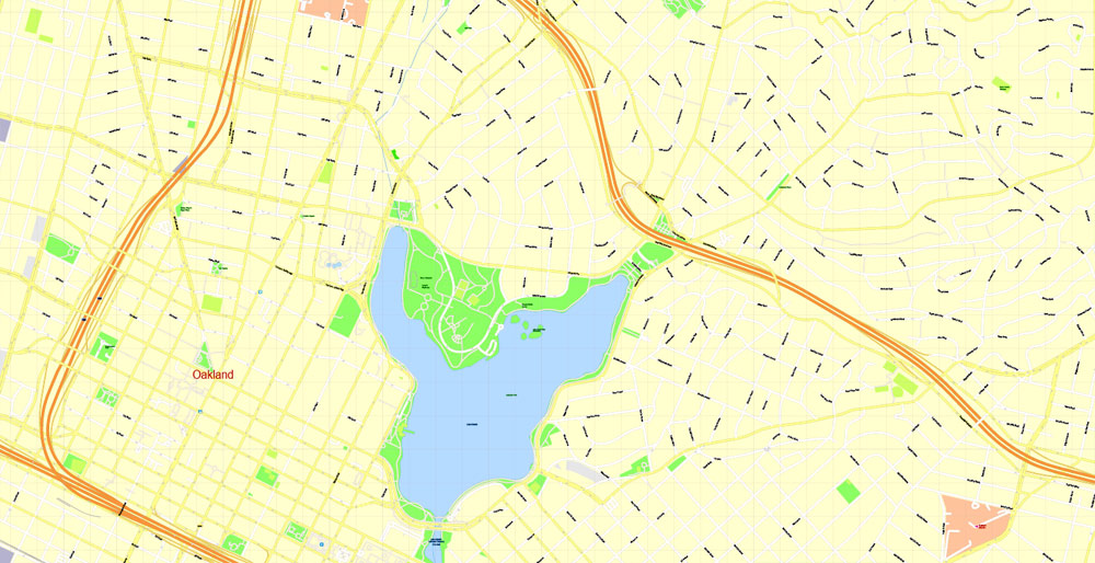
Lake Merritt, an urban estuary near downtown, is a mix of fresh and salt water draining in and out from the Oakland Harbor at the San Francisco Bay and one of Oakland’s most notable features. It was designated the United States’ first official wildlife refuge in 1870.
Originally a marsh-lined wildlife haven, Lake Merritt was dredged and bordered with parks from the 1890s to the 1910s. Despite this reduction in habitat, Oakland is home to a number of rare and endangered species, many of which are localized to serpentine soils and bedrock. Lake Merritt is surrounded by residential and business districts, including downtown and Grand Lake.
Berkeley is a city on the east shore of San Francisco Bay in northern Alameda County, California. It is named after the 18th-century Irish bishop and philosopher George Berkeley. It borders the cities of Oakland and Emeryville to the south and the city of Albany and the unincorporated community of Kensington to the north. Its eastern border with Contra Costa County generally follows the ridge of the Berkeley Hills. The 2010 census recorded a population of 112,580.
Berkeley is home to the oldest campus in the University of California system, the University of California, Berkeley, and the Lawrence Berkeley National Laboratory, which is managed and operated by the University. It also has the Graduate Theological Union, one of the largest religious studies institutions in the world. Berkeley is one of the most socially liberal cities in the United States.
Geography
Berkeley is located at 37°52′18″N 122°16′29″W (37.871775, −122.274603).
Satellite map of the San Francisco Bay Area from the U.S. Geological Survey
According to the United States Census Bureau the city’s 17.7 square miles (46 km2) area includes 10.5 square miles (27 km2) of land and 7.2 square miles (19 km2) (40.83%) water, most of it part of San Francisco Bay.
Berkeley borders the cities of Albany, Oakland, and Emeryville and Contra Costa County, including unincorporated Kensington, as well as San Francisco Bay.
Berkeley lies within telephone area code 510 (until September 2, 1991, Berkeley was part of the 415 telephone code that now covers only San Francisco and Marin counties), and the postal ZIP codes are 94701 through 94710, 94712, and 94720 for the University of California campus.
Richmond is the capital of the Commonwealth of Virginia in the United States. It is the center of the Richmond Metropolitan Statistical Area (MSA) and the Greater Richmond Region. Richmond was incorporated in 1742 and has been an independent city since 1871.
As of the 2010 census, the city’s population was 204,214; in 2016, the population was estimated to be 223,170, making Richmond the fourth-most populous city in Virginia. The Richmond Metropolitan Area has a population of 1,260,029, the third-most populous metro in the state.
Richmond is located at the fall line of the James River, 44 miles (71 km) west of Williamsburg, 66 miles (106 km) east of Charlottesville, 100 miles (160 km) east of Lynchburg and 98 miles (158 km) south of Washington, D.C. Surrounded by Henrico and Chesterfield counties, the city is located at the intersections of Interstate 95 and Interstate 64, and encircled by Interstate 295 and Virginia State Route 288. Major suburbs include Midlothian to the southwest, Chesterfield to the south, Varina to the southeast, Sandston to the east, Glen Allen to the north and west, Short Pump to the west and Mechanicsville to the northeast.
The site of Richmond had been an important village of the Powhatan Confederacy, and was briefly settled by English colonists from Jamestown in 1609, and in 1610–1611. The present city of Richmond was founded in 1737. It became the capital of the Colony and Dominion of Virginia in 1780, replacing Williamsburg. During the Revolutionary War period, several notable events occurred in the city, including Patrick Henry’s “Give me liberty or give me death” speech in 1775 at St. John’s Church, and the passage of the Virginia Statute for Religious Freedom written by Thomas Jefferson. During the American Civil War, Richmond served as the second and permanent capital of the Confederate States of America. The city entered the 20th century with one of the world’s first successful electric streetcar systems. The Jackson Ward neighborhood is a national hub of African-American commerce and culture.
Richmond’s economy is primarily driven by law, finance, and government, with federal, state, and local governmental agencies, as well as notable legal and banking firms, located in the downtown area. The city is home to both the United States Court of Appeals for the Fourth Circuit, one of 13 United States courts of appeals, and the Federal Reserve Bank of Richmond, one of 12 Federal Reserve Banks. Dominion Energy and WestRock, Fortune 500 companies, are headquartered in the city, with others in the metropolitan area.
Geography and climate
Richmond is located at 37°32′N 77°28′W (37.538, −77.462). According to the United States Census Bureau, the city has a total area of 62 square miles (160 km2), of which 60 square miles (160 km2) is land and 2.7 square miles (7.0 km2) of it (4.3%) is water. The city is located in the Piedmont region of Virginia, at the highest navigable point of the James River. The Piedmont region is characterized by relatively low, rolling hills, and lies between the low, flat Tidewater region and the Blue Ridge Mountains. Significant bodies of water in the region include the James River, the Appomattox River, and the Chickahominy River.
The Richmond-Petersburg Metropolitan Statistical Area (MSA), the 44th largest in the United States, includes the independent cities of Richmond, Colonial Heights, Hopewell, and Petersburg, as well as the counties of Charles City, Chesterfield, Dinwiddie, Goochland, Hanover, Henrico, New Kent, Powhatan, and Prince George. As of July 1, 2009, the total population of the Richmond—Petersburg MSA was 1,258,251.
Cityscape
Richmond’s original street grid, laid out in 1737, included the area between what are now Broad, 17th, and 25th Streets and the James River. Modern Downtown Richmond is located slightly farther west, on the slopes of Shockoe Hill. Nearby neighborhoods include Shockoe Bottom, the historically significant and low-lying area between Shockoe Hill and Church Hill, and Monroe Ward, which contains the Jefferson Hotel.
Richmond’s East End includes neighborhoods like rapidly gentrifying Church Hill, home to St. John’s Church, as well as poorer areas like Fulton, Union Hill, and Fairmont, and public housing projects like Mosby Court, Whitcomb Court, Fairfield Court, and Creighton Court closer to Interstate 64. The area between Belvidere Street, Interstate 195, Interstate 95, and the river, which includes Virginia Commonwealth University, is socioeconomically and architecturally diverse.
North of Broad Street, the Carver and Newtowne West neighborhoods are demographically similar to neighboring Jackson Ward, with Carver experiencing some gentrification due to its proximity to VCU. The affluent area between the Boulevard, Main Street, Broad Street, and VCU, known as the Fan, is home to Monument Avenue, an outstanding collection of Victorian architecture, and many students. West of the Boulevard is the Museum District, the location of the Virginia Historical Society and the Virginia Museum of Fine Arts. South of the Downtown Expressway are Byrd Park, Maymont, Hollywood Cemetery, the predominantly black working class Randolph neighborhood, and white working class Oregon Hill. Cary Street between Interstate 195 and the Boulevard is a popular commercial area called Carytown.
Richmond’s Northside is home to numerous listed historic districts. Neighborhoods such as Chestnut Hill-Plateau and Barton Heights began to develop at the end of the 19th century when the new streetcar system made it possible for people to live on the outskirts of town and still commute to jobs downtown. Other prominent Northside neighborhoods include Azalea, Barton Heights, Bellevue, Chamberlayne, Ginter Park, Highland Park, and Rosedale.
Farther west is the affluent, suburban West End. Windsor Farms is among its best-known sections. The West End also includes middle to lower income neighborhoods, such as Laurel, Farmington and the areas surrounding the Regency Mall. More affluent areas include Glen Allen, Short Pump, and the areas of Tuckahoe away from Regency Mall, which can all be found north and northwest of the city. The University of Richmond and the Country Club of Virginia can be found here as well, which are located just inside the City Limits.
The portion of the city south of the James River is known as the Southside. Neighborhoods in the city’s Southside area range from affluent and middle class suburban neighborhoods Westover Hills, Forest Hill, Southampton, Stratford Hills, Oxford, Huguenot Hills, Hobby Hill, and Woodland Heights to the impoverished Manchester and Blackwell areas, the Hillside Court housing projects, and the ailing Jefferson Davis Highway commercial corridor. Other Southside neighborhoods include Fawnbrook, Broad Rock, Cherry Gardens, Cullenwood, and Beaufont Hills. Much of Southside developed a suburban character as part of Chesterfield County before being annexed by Richmond, most notably in 1970.
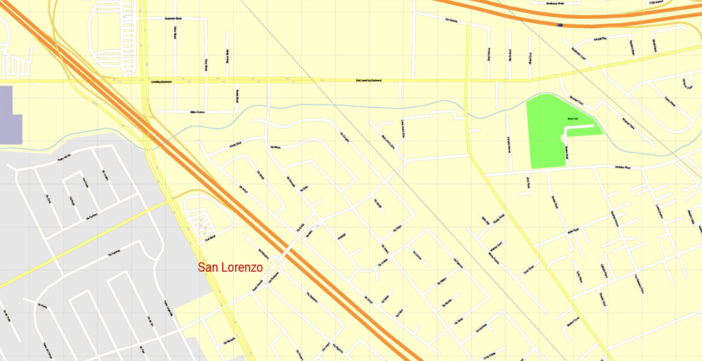
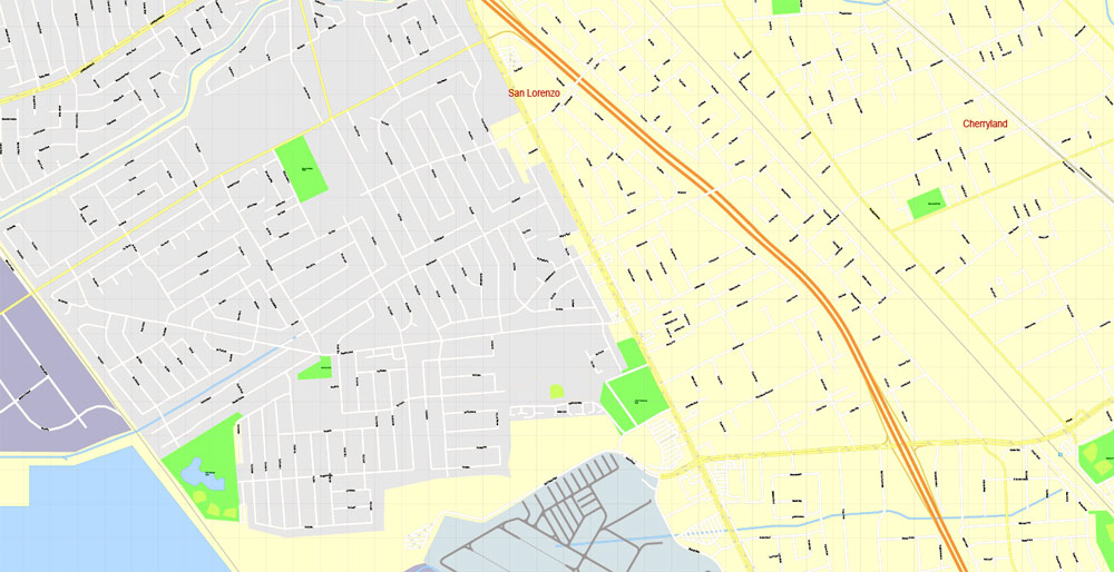
San Leandro is a large suburban town in Alameda County, California, United States. It is located on the eastern shore of San Francisco Bay, between Oakland to the northwest and Hayward to the southeast.
Geography and geology
The San Leandro Hills run above the city to the northeast. In the lower elevations of the city, an upper regionally contained aquifer is located 50 to 100 feet (15 to 30 m) below the surface. At least one deeper aquifer exists approximately 250 feet (75 m) below the surface. Some salt water intrusion has taken place in the San Leandro Cone. Shallow groundwater generally flows to the west, from the foothills toward San Francisco Bay. Shallow groundwater is contaminated in many of the locales of the lower elevation of the city. Contamination by gasoline, volatile organic compounds and some heavy metals has been recorded in a number of these lower elevation areas.
The trace of the Hayward Fault passes under Foothill Boulevard in San Leandro. Follow the link in the reference to see a series of photos of the fault cutting the asphalt between 1979 and 1987.
Geography
According to the United States Census Bureau, the city has a total area of 5.5 square miles (14 km2), of which 1.8 square miles (4.7 km2) is land and 3.7 square miles (9.6 km2) (67.28%) is water.
The principal shopping street in Albany is Solano Avenue, which cuts across the city from west to east. Another important street is San Pablo Avenue, which travels from north to south.
Albany is located on the eastern shore of San Francisco Bay, bordering the city of Berkeley to the south and east, and the Contra Costa County cities of El Cerrito and Richmond to the north. Albany’s northern and southern borders are defined by two creeks, Codornices Creek on the south and Cerrito Creek on the north. Cerrito Creek takes its name from “El Cerrito de San Antonio”, now known as Albany Hill. The hill’s unusual location near the bay shore makes it a prominent landmark in the East Bay. The rest of the city is relatively flat by Bay Area standards, except for a small area near the base of the Berkeley Hills.
Albany’s waterfront has undergone significant man-made changes; the most prominent landform is now the Albany Bulb, a former garbage landfill jutting out into San Francisco Bay. The bulb was the site of a small art colony and shanty town until it was cleared to turn the area into part of the new Eastshore State Park.
Free US vector maps

Free Download Vector Map US County and State Adobe Illustrator
Free_Vector_Map_US_States_County_Map.ai
Free Download Vector Map US County and State Adobe PDF
Free_Vector_Map_US_States_County_Map.pdf

Free Download Vector Map US With States Names, Adobe Illustrator
Free_Map_of_USA_with_state_names_en.ai
Free Download Vector Map US With States Names, Adobe PDF
Free_Map_of_USA_with_state_names_en.pdf
From WIKI
Free vector map World, Adobe Illustrator, download now maps vector clipart
Map for design, projects, presentation free to use as you like.
See also: TERMS & CONDITIONS: SOFTWARE LICENSE AGREEMENT FOR DIGITAL CARTOGRAPHIC DATA.
Need more USA Vector Maps, printable and editable?


 Author: Kirill Shrayber, Ph.D. FRGS

