The area of the state of Nebraska – 200,520 km2 (16th place in the United States)
Length of the state of Nebraska:
from north to south – 340 km
from east to west-690 km
Nebraska Region – Northwestern Central United States
Nebraska’s highest point is 1,653 meters above sea level
The lowest point in the state of Nebraska – 256 meters above sea level
The abbreviation of the state of Nebraska is NE
The capital of Nebraska is Lincoln
The largest city in Nebraska is Omaha
Date of formation of the state of Nebraska – March 1, 1867 (37 in the United States)
The population of the state of Nebraska is about 1,850,000 people (38th place in the United States)
The population density in Nebraska is 8.9 people per km2 (43rd in the United States)
Nebraska’s motto is “Equality before the law”
The nickname of the state of Nebraska is ” The State of the corn cob”
The state of Nebraska is located in the Midwestern United States and belongs to the northwestern central states of the United States. The territory of the state of Nebraska – 200,520 km2 (the sixteenth place among the US states).
Nebraska is bordered by the states of South Dakota to the north, Iowa to the east, Missouri to the southeast, Kansas to the south, Colorado to the southwest, and Wyoming to the west.
The state of Nebraska is located in two time zones of the United States – central (eastern counties) and mountain (western counties).
Nebraska is characterized by relatively flat terrain, the state is completely located on the territory of the Great Plains of the United States. Eastern Nebraska counties are located in a zone of so-called “dissected plains” – formed by glaciers of gentle hills. To the west, the terrain gradually rises, reaching an altitude of 1,653 meters above sea level at the highest point in the state – Panorama Point, located in southwestern Nebraska near the border with Colorado and Wyoming. In the north of the state is a vast region occupied by grassy sand hills – Sand Hills.
The Nebraska plains were once grassy prairies where herds of bison grazed, but now much of the state is used for farming. In Nebraska, only small areas of unaffected steppes have been preserved, many of which today have the status of protected areas.
On the plains of Nebraska, there are “outliers” – rock formations, a kind of “stone pillars” that survived the destruction of rock massifs. Some of them served in the XIX century as landmarks for immigrants traveling west on the “Oregon Trail” and thus became part of the history of Nebraska.
Among the most famous rock massifs in Nebraska is “Chimney Rock“, which has the status of a National Historic Monument in the United States. The height of the rock above the surrounding valley is more than ninety meters and above sea level – 1,288 meters. Previously, this unusual “stone spire” was even higher, but wind erosion and frequent lightning strikes are gradually destroying it. Also well known and popular with tourists is the Scotts Bluff National Monument – five cliffs rising more than three hundred and thirty meters above the prairie.
Nebraska’s largest river is the Platte River. Its length from the confluence of the North Platte and the South Platte to the confluence with Missouri is a little more than five hundred kilometers.
Nebraska is characterized by a continental climate with hot summers and cold winters, wetter in the east and drier in the west of the state. In eastern Nebraska, the state’s largest city, Omaha, the average temperature in January ranges from -10°C to 1°C, and in July – from 19°C to 31°C. In the city of Alliance, which is located in the west, the average temperature in January usually ranges from -11°C to 4°C, and in July-from 14°C to 32°C.
Nebraska is located on the “tornado alley”, in the spring and summer there are often severe thunderstorms and tornadoes.
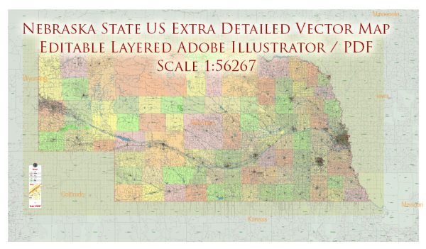
Printable PDF Vector Map of Nebraska Full State US: All Streets and Roads + counties areas + zip-codes areas, fully editable Adobe PDF Map in layers, scalable, 186 MB ZIP
Scale: 1:56267
All streets and roads, Names of Principal streets, All Cities and Towns, Counties, All Geonames, airports and heliports. Map for design, printing, arts, projects, presentations, for architects, designers, and builders, business, logistics.
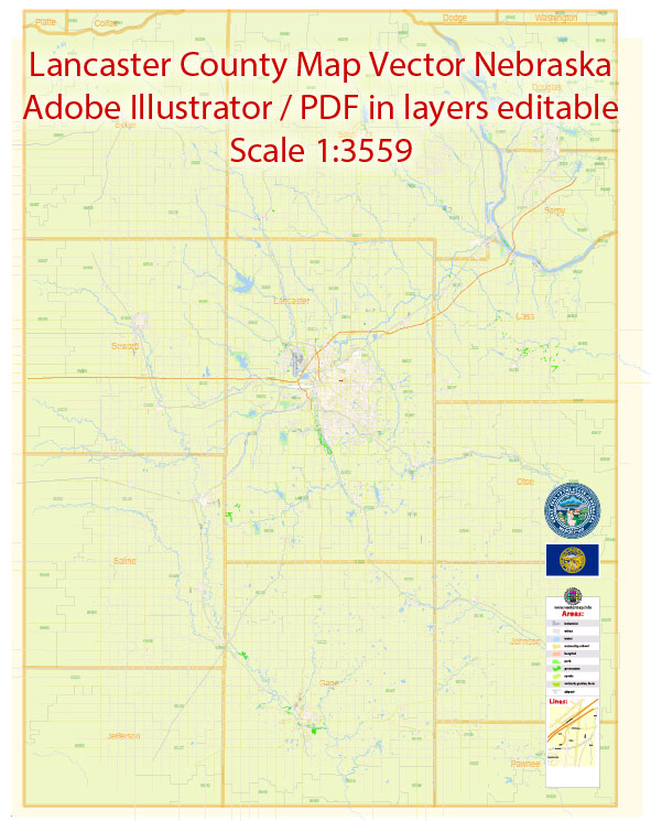
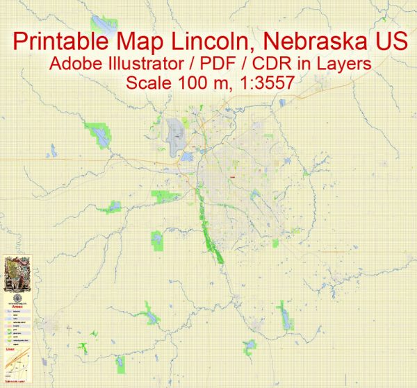
ATTN! All objects are located on separate layers by type. The preview shows them all together. When you work with this map, just turn off or delete those layers that are not needed for your project.
For Editing and High-Quality Printing, Royalty free
Need AutoCAD DWG / DXF, CDR, or any other format? Please, contact us!
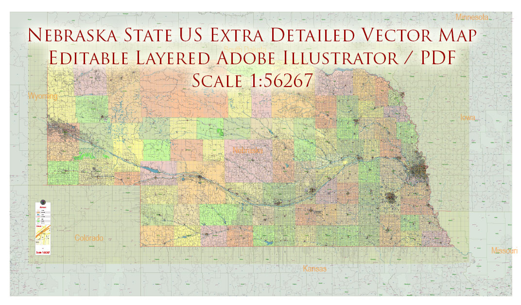
Nebraska Full State US PDF Vector Map: Full Extra High Detailed (all roads, zipcodes, airports) + Admin Areas editable Adobe PDF in layers
Layers list:
- Legend
- Grids
- Labels of roads (numbers) – highways, interstate
- All Geonames (cities, towns, villages, hamlets, islands)
- Points of the Geonames (cities, towns, villages, hamlets, islands)
- Names places: Names of all Cities, towns, villages and hamlets
- Names of the Airports and Heliports
- Points of the Airports and Heliports
- Numbers of ZIP codes
- Names of objects (water, park, hospital)
- Names of States
- Names of Counties
- Names of the Main Streets
- Major Roads and Streets – Highways
- Minor Roads and residential streets
- Railroads
- State boundaries
- Water objects (rivers, lakes, ponds, swamps, reefs)
- Waterways
- Ground objects (urban areas, parks, hospitals, etc.)
- ZIP-codes areas
- Counties areas (colored)
- States areas
- Background
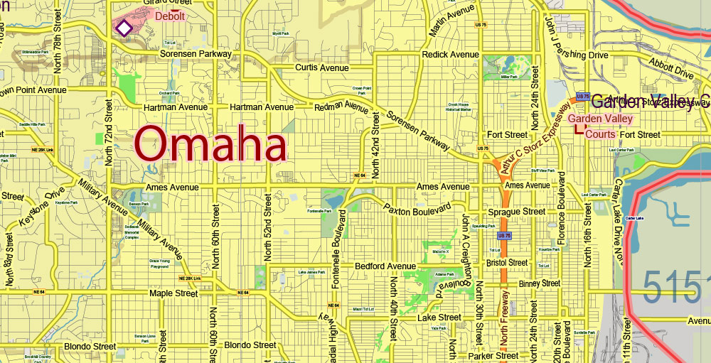
Nebraska Full State US PDF Vector Map: Full Extra High Detailed (all roads, zipcodes, airports) + Admin Areas editable Adobe PDF in layers
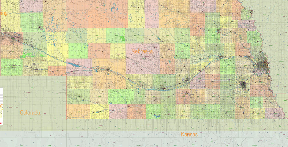
Nebraska Full State US PDF Vector Map: Full Extra High Detailed (all roads, zipcodes, airports) + Admin Areas editable Adobe PDF in layers
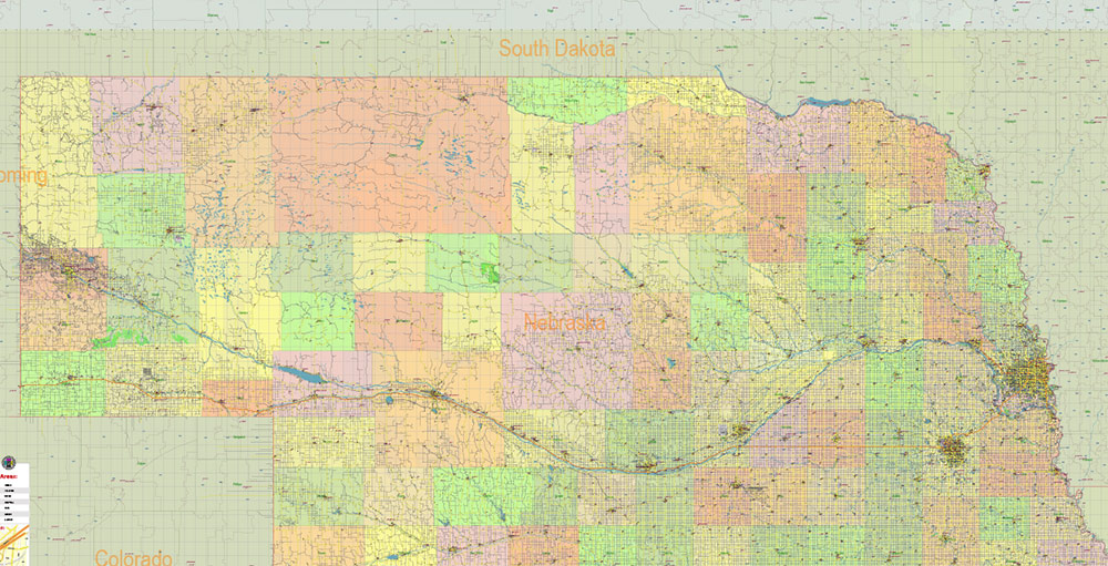
Nebraska Full State US PDF Vector Map: Full Extra High Detailed (all roads, zipcodes, airports) + Admin Areas editable Adobe PDF in layers
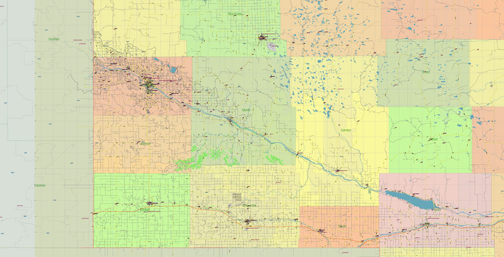
Nebraska Full State US PDF Vector Map: Full Extra High Detailed (all roads, zipcodes, airports) + Admin Areas editable Adobe PDF in layers
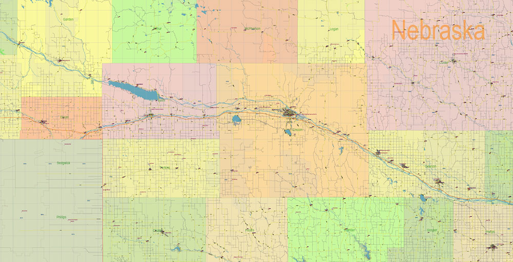
Nebraska Full State US PDF Vector Map: Full Extra High Detailed (all roads, zipcodes, airports) + Admin Areas editable Adobe PDF in layers
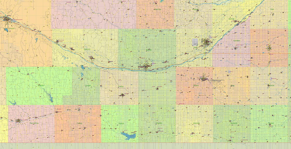
Nebraska Full State US PDF Vector Map: Full Extra High Detailed (all roads, zipcodes, airports) + Admin Areas editable Adobe PDF in layers
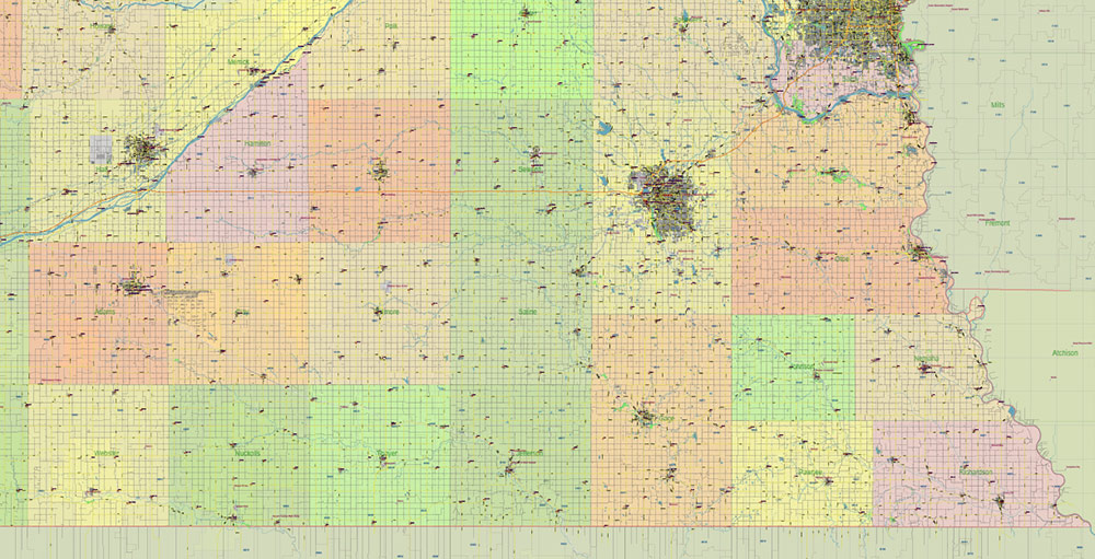
Nebraska Full State US PDF Vector Map: Full Extra High Detailed (all roads, zipcodes, airports) + Admin Areas editable Adobe PDF in layers
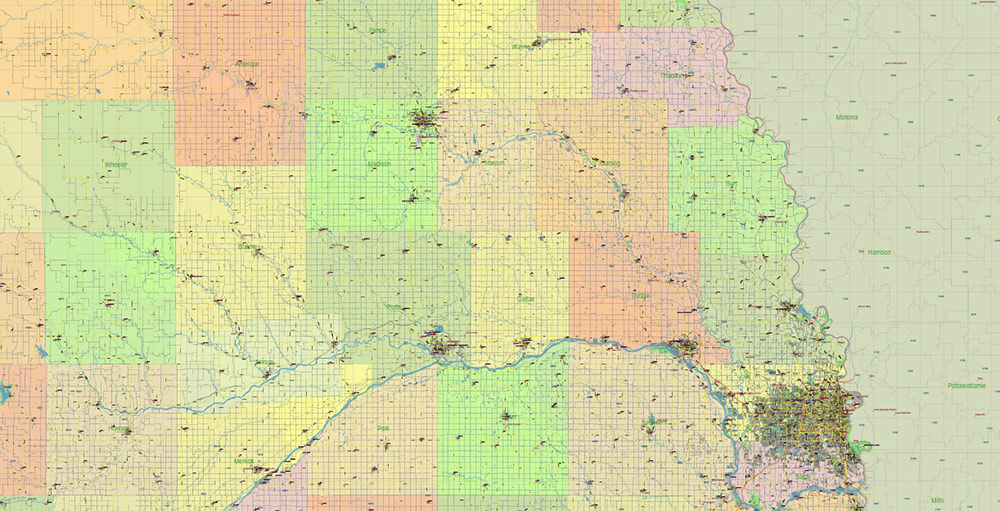
Nebraska Full State US PDF Vector Map: Full Extra High Detailed (all roads, zipcodes, airports) + Admin Areas editable Adobe PDF in layers
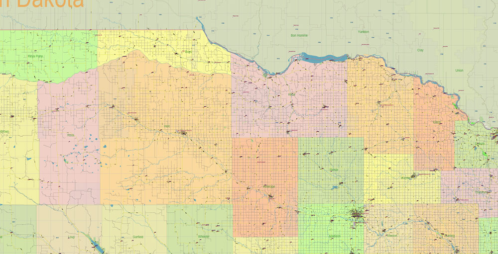
Nebraska Full State US PDF Vector Map: Full Extra High Detailed (all roads, zipcodes, airports) + Admin Areas editable Adobe PDF in layers
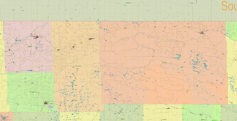
Nebraska Full State US PDF Vector Map: Full Extra High Detailed (all roads, zipcodes, airports) + Admin Areas editable Adobe PDF in layers
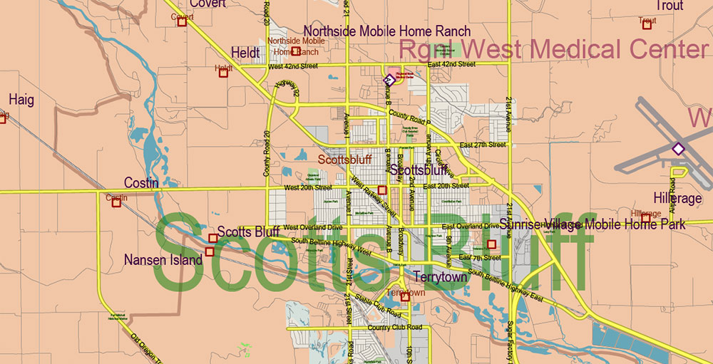
Nebraska Full State US PDF Vector Map: Full Extra High Detailed (all roads, zipcodes, airports) + Admin Areas editable Adobe PDF in layers
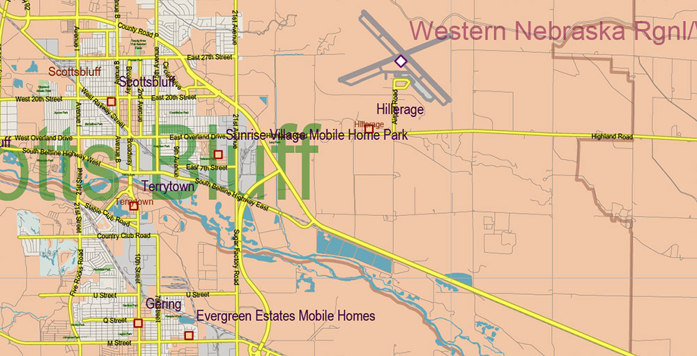
Nebraska Full State US PDF Vector Map: Full Extra High Detailed (all roads, zipcodes, airports) + Admin Areas editable Adobe PDF in layers
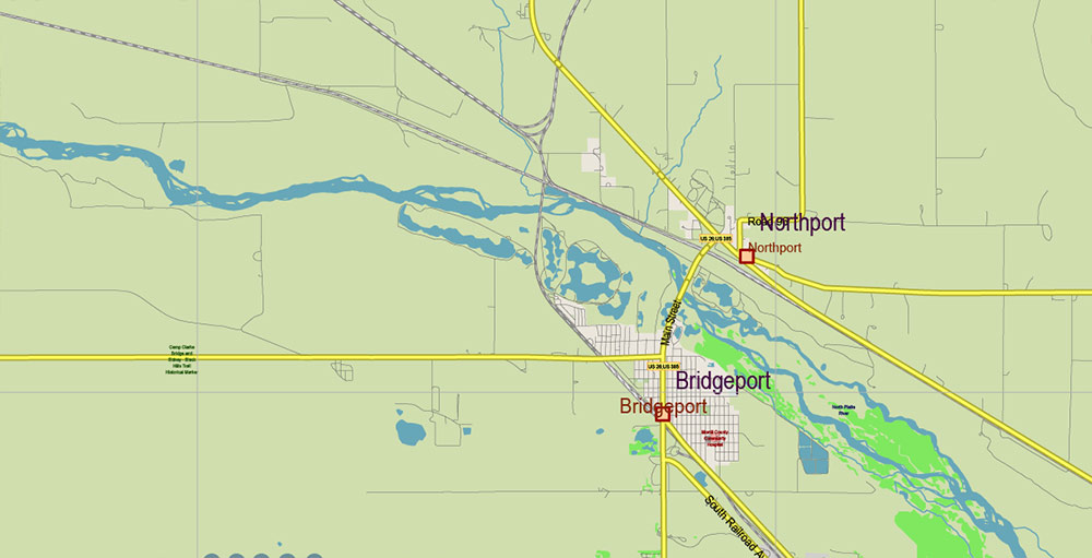
Nebraska Full State US PDF Vector Map: Full Extra High Detailed (all roads, zipcodes, airports) + Admin Areas editable Adobe PDF in layers
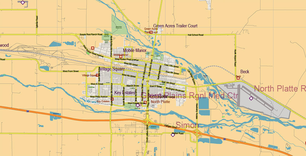
Nebraska Full State US PDF Vector Map: Full Extra High Detailed (all roads, zipcodes, airports) + Admin Areas editable Adobe PDF in layers
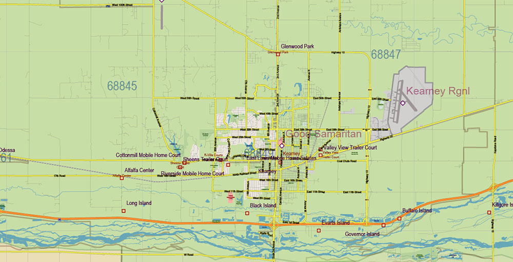
Nebraska Full State US PDF Vector Map: Full Extra High Detailed (all roads, zipcodes, airports) + Admin Areas editable Adobe PDF in layers
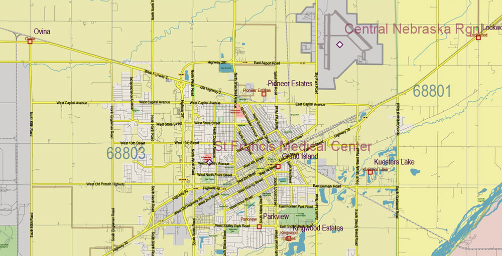
Nebraska Full State US PDF Vector Map: Full Extra High Detailed (all roads, zipcodes, airports) + Admin Areas editable Adobe PDF in layers
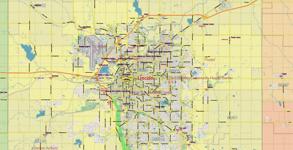
Nebraska Full State US PDF Vector Map: Full Extra High Detailed (all roads, zipcodes, airports) + Admin Areas editable Adobe PDF in layers
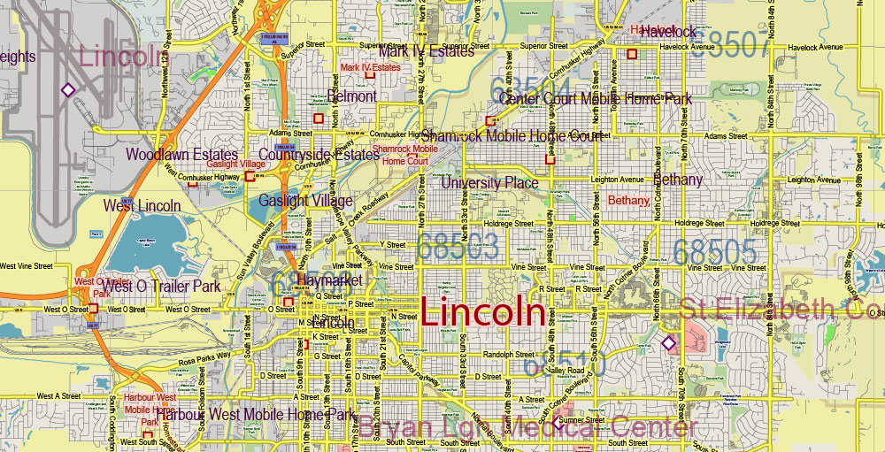
Nebraska Full State US PDF Vector Map: Full Extra High Detailed (all roads, zipcodes, airports) + Admin Areas editable Adobe PDF in layers
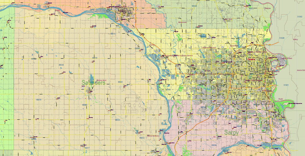
Nebraska Full State US PDF Vector Map: Full Extra High Detailed (all roads, zipcodes, airports) + Admin Areas editable Adobe PDF in layers
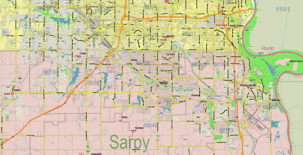
Nebraska Full State US PDF Vector Map: Full Extra High Detailed (all roads, zipcodes, airports) + Admin Areas editable Adobe PDF in layers
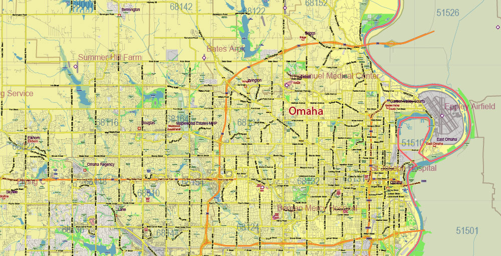
Nebraska Full State US PDF Vector Map: Full Extra High Detailed (all roads, zipcodes, airports) + Admin Areas editable Adobe PDF in layers


 Author: Kirill Shrayber, Ph.D. FRGS