Extended Description of the Vector Map
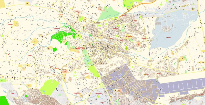
Printable Vector Map of Nairobi Kenya detailed City Plan scale 100 m 1:4696 full editable Adobe Illustrator Street Map in layers, scalable, text format all names, 24 MB ZIP
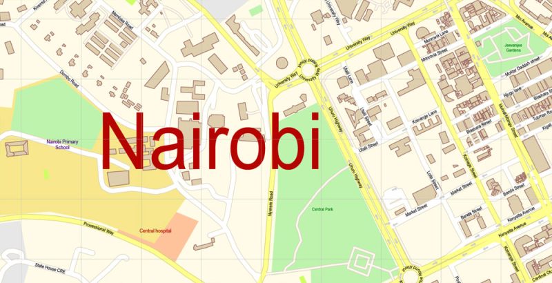
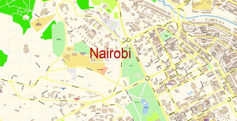
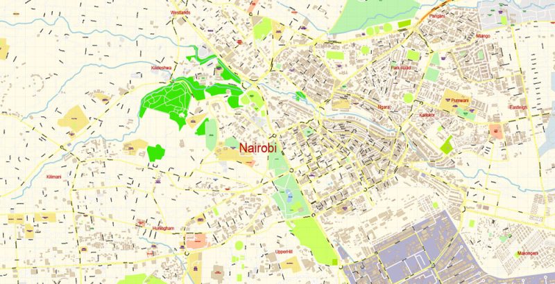
All street names, Main Objects, Buildings. Map for design, printing, arts, projects, presentations, for architects, designers, and builders, business, logistics.
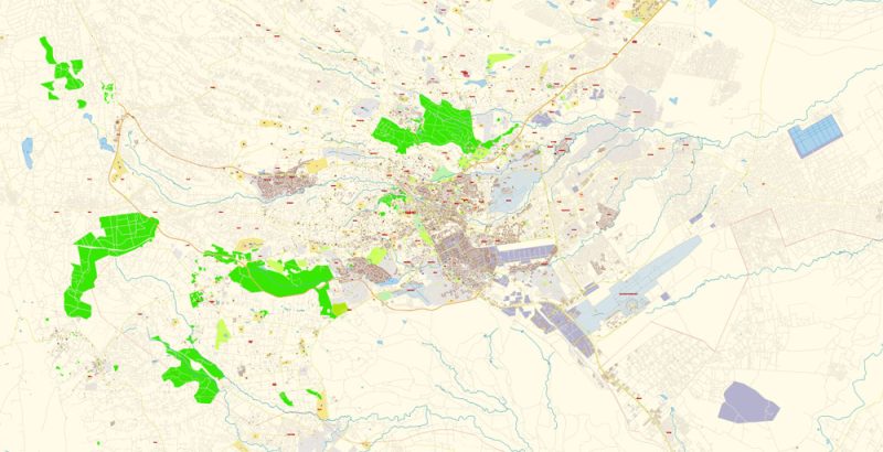
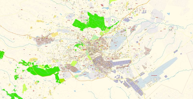
Layers: color_fills, water, streets_roads, labels_roads, names_objects, names_streets, names_places, arrows_streets, buildings, grids, legend, etc.
The most exact and detailed map of the city in scale.
For Editing and High-Quality Printing
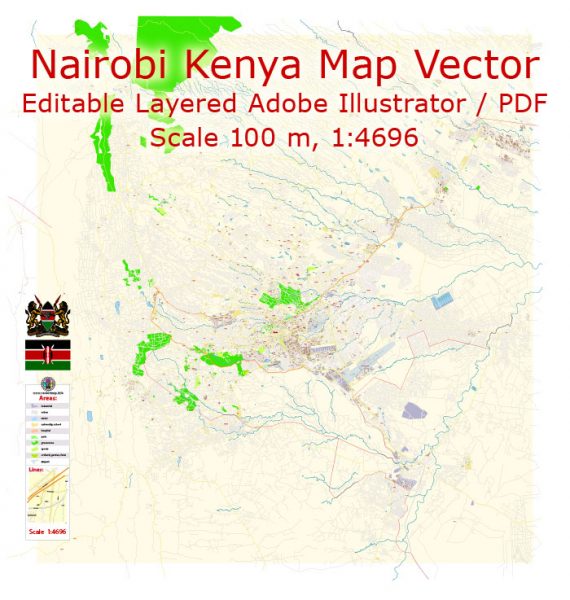
Nairobi Kenya Map Vector Exact City Plan detailed Street Map editable Adobe Illustrator in layers
Nairobi
Nairobi is the largest city in Kenya, it is capital with a population of more than 3 million people. “Green city under the sun”, as the locals call it, lies in the zone of the subtropical climate of the highlands, above the zero marks by 1795 meters. In June – July in the area is quite fresh, the temperature sometimes drops to 9°C. the Sunniest and hottest part of the year – from December to March, when the air is warmer than 20 degrees. There are two rainy seasons, but rainfall is moderate and differences between seasons are minimal.
Nairobi Kenya Map Vector Exact City Plan detailed Street Map editable Adobe Illustrator in layers
The area of the modern city was previously occupied by uninhabited swamps. Nairobi was founded in 1899 by the colonial authorities of British East Africa as a railway depot in Uganda. Favorable conditions – an extensive network of rivers, comfortable temperatures for human habitation and unsuitable conditions for malaria mosquitoes contributed to the rapid growth of the settlement and granting it the status of the capital in 1905. During the colonial period of Kenya, the city was the center of the coffee, tea, and textile industries.
Nairobi Kenya Map Vector Exact City Plan detailed Street Map editable Adobe Illustrator in layers
Today in Nairobi there are official representations of 100 large international companies and organizations, including two offices of different UN programs, it is the largest business center on the African continent.
Nairobi Kenya Map Vector Exact City Plan detailed Street Map editable Adobe Illustrator in layers
Among the tourists the city is known as the capital of Safari in Africa, Nairobi is surrounded by plains, rocks and forest area of 113 square kilometers, which are part of the Nairobi National Park. From the many activities available to guests of the city, you can choose what you like – Safari, ecotourism, trips to restaurants, museums, and cultural sites, shopping malls and entertainment centers. You can become an active participant or fan in competitions in different sports – Golf, Rugby, athletics, Polo, horse racing, cricket, and football.
Nairobi Kenya Map Vector Exact City Plan detailed Street Map editable Adobe Illustrator in layers
Tourist places in the city – railway Museum, Nairobi National Museum with exhibitions on the history of Kenya, Art gallery.
Outside the city, the tourists visited national parks – “Nairobi” and “all of Sabuk all Dongo”, a shelter “Sheldrick Elephant”, where care for animal babies from all over Kenya who are orphaned because of poaching, giraffe center Langata, and attraction – the village of Mamba. A natural oasis from the bustle of the city, lake Naivasha, is a 1.5-hour drive from the center of Nairobi. On the island of Crescent, you can walk next to giraffes, zebras, wildebeest, impalas and other animals.
For an active day tour of the falls and rafting on the Tana river.
Nairobi Kenya Map Vector Exact City Plan detailed Street Map editable Adobe Illustrator in layers
Nairobi Kenya Map Vector Exact City Plan detailed Street Map editable Adobe Illustrator in layers

Nairobi Kenya Map Vector Exact City Plan detailed Street Map editable Adobe Illustrator in layers


 Author: Kirill Shrayber, Ph.D. FRGS