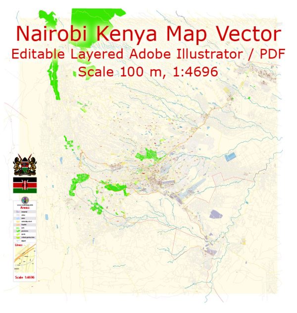
Nairobi, the capital city of Kenya, has a rich urban history that reflects the country’s colonial past and subsequent development.
Vectormap.Net provide you with the most accurate and up-to-date vector maps in Adobe Illustrator, PDF and other formats, designed for editing and printing. Please read the vector map descriptions carefully.
Here’s a detailed overview of Nairobi’s urban history and street system:
Urban History:
- Early History: Nairobi’s history dates back to the late 19th century when it was established as a railway depot during the construction of the Uganda Railway by the British colonial authorities. The city’s name is derived from the Maasai phrase “Enkare Nairobi,” which means “cool water,” referring to the Nairobi River.
- Colonial Era: Nairobi grew rapidly as a British colonial settlement, attracting European settlers and businesses. It became the capital of British East Africa in 1907. During this period, the city was divided along racial lines, with Europeans living in the more affluent areas, Asians in Parklands, and Africans in segregated areas like Kibera.
- Independence and Post-Independence: Kenya gained independence from British colonial rule in 1963. Nairobi continued to develop as the political, economic, and cultural hub of the country. The city faced challenges such as rapid urbanization, informal settlements, and infrastructure development issues.
- Modern Development: In recent decades, Nairobi has experienced significant economic growth and urban development. The city has become a major center for finance, trade, and technology in East Africa. However, challenges like traffic congestion, inadequate infrastructure, and socio-economic disparities persist.
Street System:
- City Center:
- The city center of Nairobi is marked by the central business district (CBD), where many government offices, financial institutions, and commercial establishments are located.
- Key streets in the CBD include Kenyatta Avenue, Moi Avenue, and Tom Mboya Street.
- Thika Road:
- Thika Road is a major highway connecting Nairobi to Thika, a town to the north. It has seen significant development, including the Thika Superhighway, which has improved connectivity and eased traffic congestion.
- Ngong Road:
- Ngong Road is a vital arterial route connecting the CBD to the southwestern suburbs of Nairobi. It has witnessed urbanization and commercial development, with various businesses and residential areas along the route.
- Mombasa Road:
- Mombasa Road connects Nairobi to the coastal city of Mombasa. It is a major transportation corridor and hosts industrial zones, hotels, and the Jomo Kenyatta International Airport.
- Outering Road:
- Outering Road is an important ring road encircling Nairobi. It connects various neighborhoods and provides a bypass for traffic avoiding the city center.
- Kangundo Road:
- Kangundo Road is a key route connecting Nairobi to the eastern suburbs and towns such as Kangundo. It serves both residential and commercial purposes.
- Matatu Culture:
- Nairobi’s public transportation is characterized by matatus, privately owned minibusses that operate on various routes. These colorful vehicles play a crucial role in the city’s transportation system.
- Informal Settlements:
- Nairobi is known for its informal settlements, including Kibera, one of the largest slums in Africa. These areas often have a network of narrow, unpaved streets and face challenges related to infrastructure and basic services.
Nairobi’s urban history and street system reflect the city’s evolution from a colonial railway depot to a dynamic, cosmopolitan center with a mix of modern infrastructure and persistent challenges related to urbanization. The ongoing development efforts seek to address these challenges and enhance the overall livability of the city.


 Author: Kirill Shrayber, Ph.D.